
White Tank @ Joshua Tree
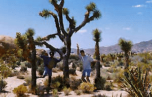
Joshua Tree National Park
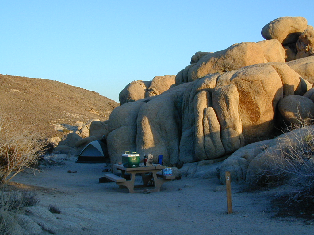
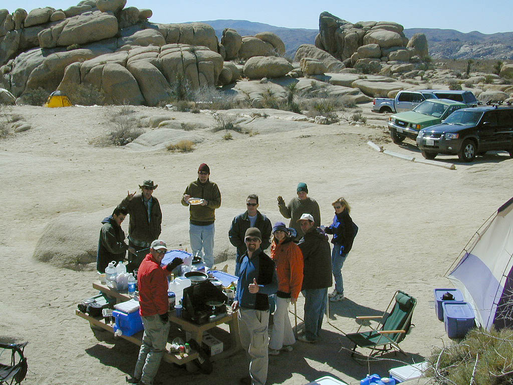
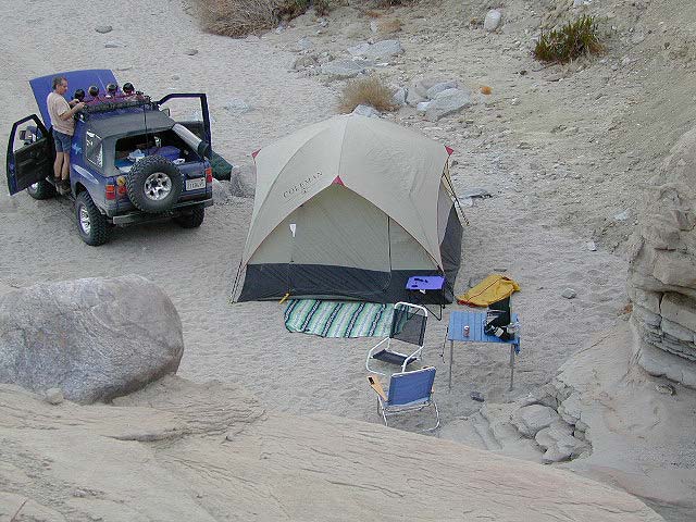
White Tank Campground
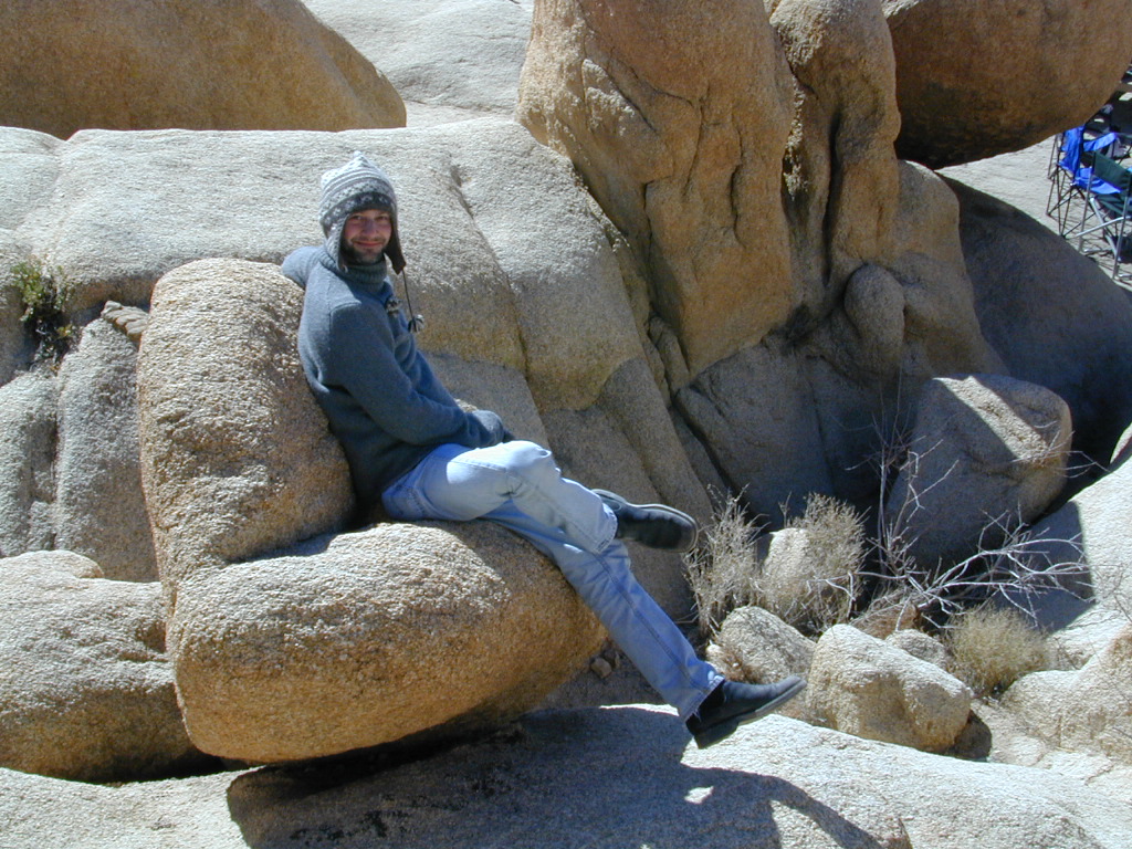
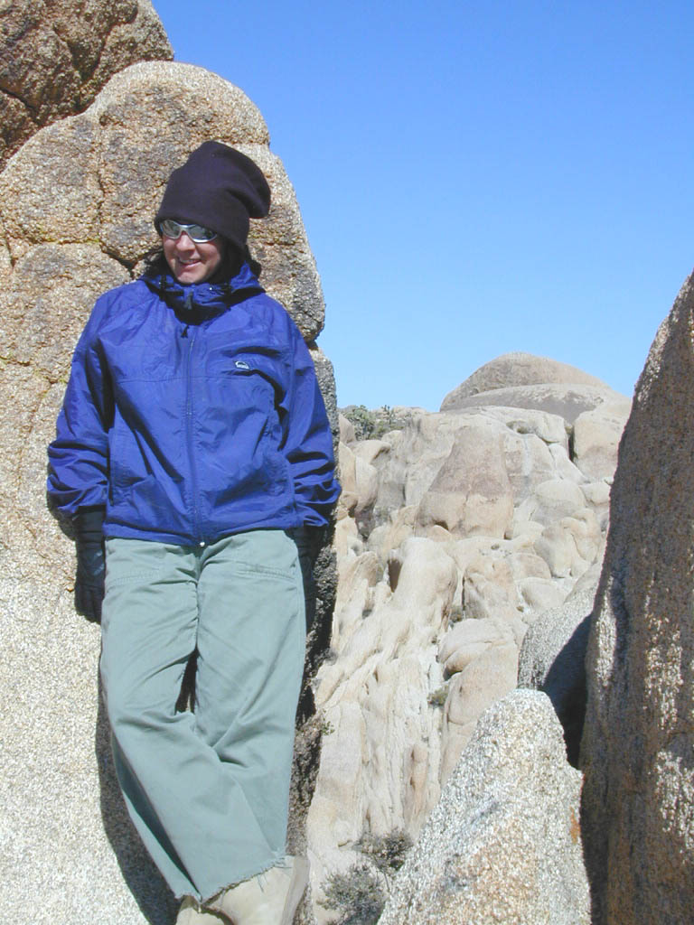
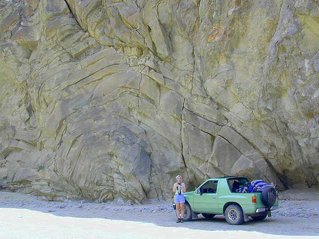
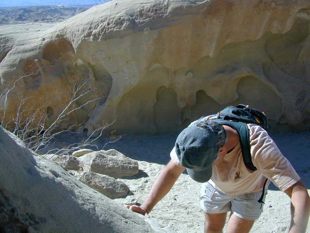
desert hikers and rock climbers
love this small camp

White Tank & Belle campgrounds are the smallest camps Joshua Tree National Park has to offer. On the east side of park both campgrounds are located half a mile from one another.
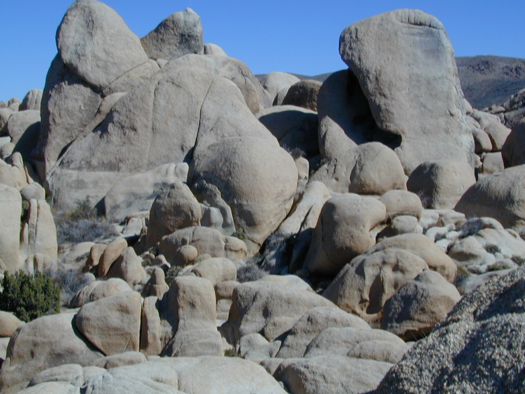
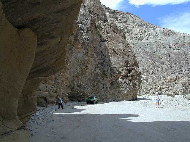
This Southern California desert lunar-scape National Park is more popular & crowded because of the proximity to major urban areas. The south east side of the park entrance station, Cottonwood, is the least busiest gate.
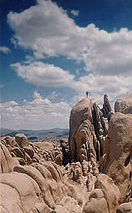
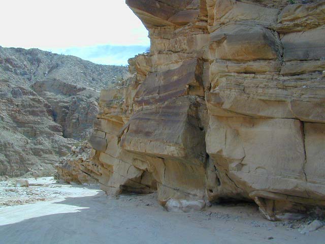
- bouldering
- camping
- hiking
- stargazing
From the town of 29 Palms (on Highway 162) take National Park entrance South on Gold Park Rd. At intersection with Loop Rd. (do not turn right) Go straight through onto El Dorado Mine Rd. about two miles drive leads the 2 campgrounds.

Joshua Tree National Park
760-367-5500
760-367-7511
| campground | elev. | spots | veg | toilet | water | fee |
| White Tank | 3800′ | 15 | josh | vault | none | no |


