Tag Archives: rock

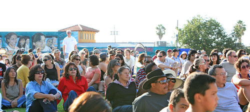
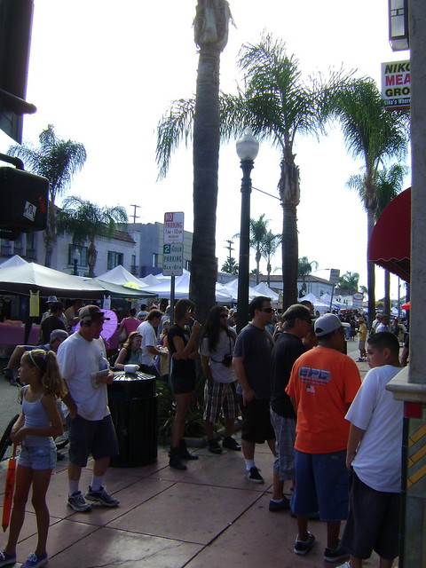
Adams Avenue Street Fair

IMG_1115

Adams Avenue Street Fair

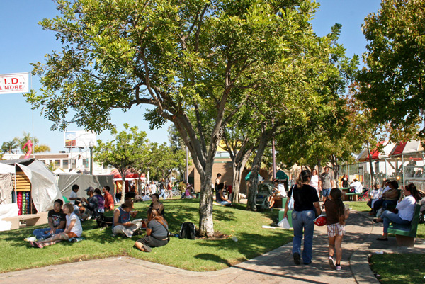
One of the largest FREE music street fairs in California. Over 90 live music acts on 7 stages, 4 beer gardens, Giant Carnival rides and 300 craft & food vendors.

Two day Music Festival covers many blocks of Adams Avenue, only a few miles from downtown San Diego. Held in late summer near 35th Street to 32nd Street. Adams Ave Street Fair is Southern California local fun.

Annual event; September

San Diego, CA

adamsavenuebusiness.com/event-info/adams-avenue-street-fair

Adams Avenue Street Fair

Adams Ave San Diego

Jan Alexander took this image in 2007, when he visited San Diego & Jeannie.

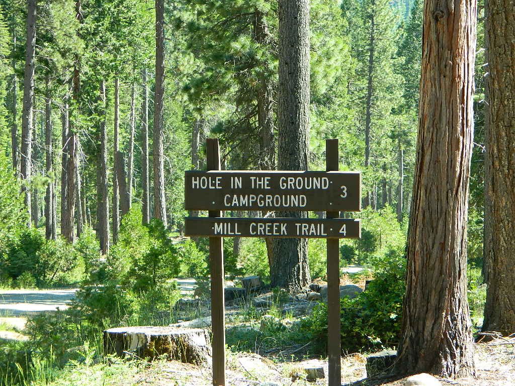
Hole in the Ground

mill creek days

Hole in the Ground, California

Hole-in-the-Ground Campground NFS NFSlogo
Lassen National Forest
dirt road access #28N06, off Hwy 172 @ Mill Creek, CA
South of Highway 36, near jct Hwy 89hiker

• Elevation: 4,300′
• Number of Sites: 13
• Vehicle Accessibility: No trailers
• Campsite Fee: Yes
• Campsite Reservation: No
• Campsite Water: hand-pump well
• Toilet: vault
• Length of Stay: 14 Days
• Season: April – October
• Trailheads: Mill Creek Trail

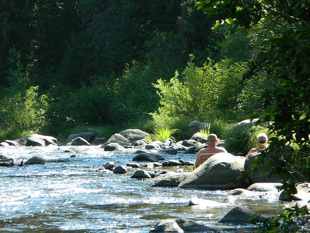
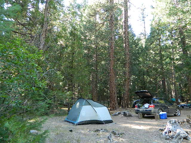
Shady pines campground situated near the wild and raging Mill Creek, on the south side of Mount Lassen. Outside of the Lassen National Park, this NFS camp offers a real backwoods feel and more seclusion. Easy foot access to Mill Creek and also the Ishi Wilderness.

Picnic tables and metal campfire rings provided at these campsites. Summers can be busy, but mid week you may have the whole place to yourself. NOTE: 3 miles dirt road access Lassen Forest Road #28N06. Trailers and large RVs are not recommended on this dirt road.

campsite 8

holeinthegroundsign

campfire fish camp

nearby towns – 

Lassen National Forest NFS

Lassen National Park NPS

NFSNFS web link USDA

yet another?

Hole in the Ground, is also the name of a remote wilderness canyon deep in the Sierra Nevada mountains. Located on the Upper Kern River – in Grasshopper Flat near Hockett Peak (8551′ elev). All inside the Golden Trout Wilderness;  accessible only by horseback or hiking trail. Find it on foot @ Jerky Trailhead on National Forest Road# 22S82

driftwood

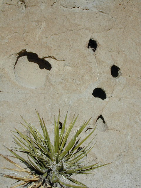
holes_in_rock
Hole in the Rock
holeinrockbackside
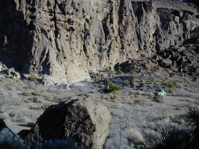
Backside Hole in the Wall, Mojave NP

Hole in the Wall, California

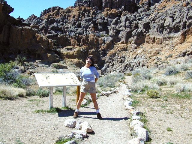
Similarly named, Hole in the Wall Campground is a popular spot in the Mojave National Preserve. Group facilities, horse corrals, developed campgrounds, centrally located, yet close to Interstate 40.

Stop by the “Hole in the Wall” Information Center (760) 252-6104, for more info and maps. The most popular hike, the Ring Trail, will leads thru rock face (above) to the campground on Black Canyon Road, on the other side of this huge rock wall.

Mid Hills Campground (nearby) has better choice on secluded camping, but rougher road to access. Mojave desert has abundant camping, so there is plenty space for everyone!

mojavehikes
Mojave Hikes @ Hole in the Wall


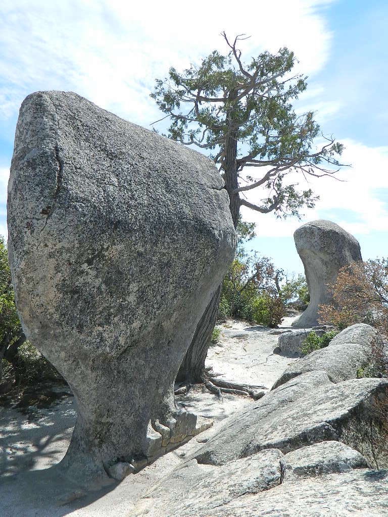
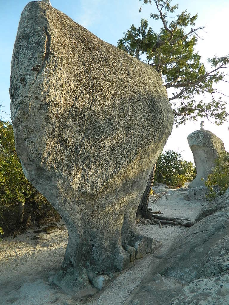
Footed Rock

Footed Rock @ Bald Rock
Berry Creek, California

Before and After Photo

Wildfire: Bear Fire / North Complex 2020

The Skinny Lone Cedar hangs on with Footed Rock. Bushes on the right side, had the flames licking at this tiny tree.

Footed Swipe

Berry Creek, CAfooted rock 95916

Many thanks to whoever cut/broke the mistletoe off in recent years. I never seem to hike with my loppers.

Bald Rock California

Footed Rock is a part of the popular Bald Rock hike. summer 2021 CURRENTLY CLOSED hiking trail in Berry Creek, CA

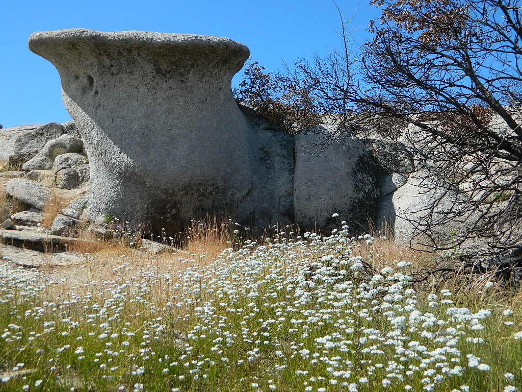
Mushroom Rock
Mushroom Rock @ Bald Rock


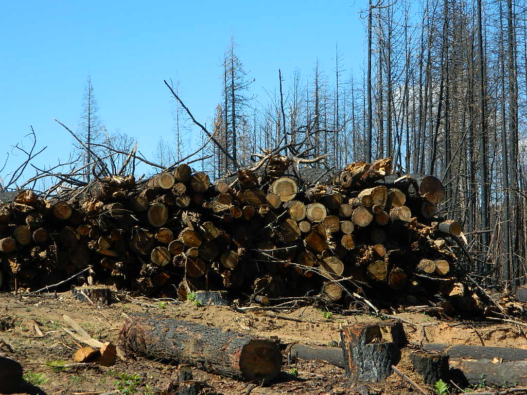
Lumber for Market
Lumber for Market, just sitting on the side of the road.

Log Truck Drivers make over $100/hour – yet there is still a job shortage in 2021. Go figure!

mountains

see more swipe photos –

White Tank Campground

White Tank @ Joshua Tree

quiet camp

Joshua Tree National Park
White Tank Campground

desert hikers and rock climbers
love this small camp

hiker

whitetank

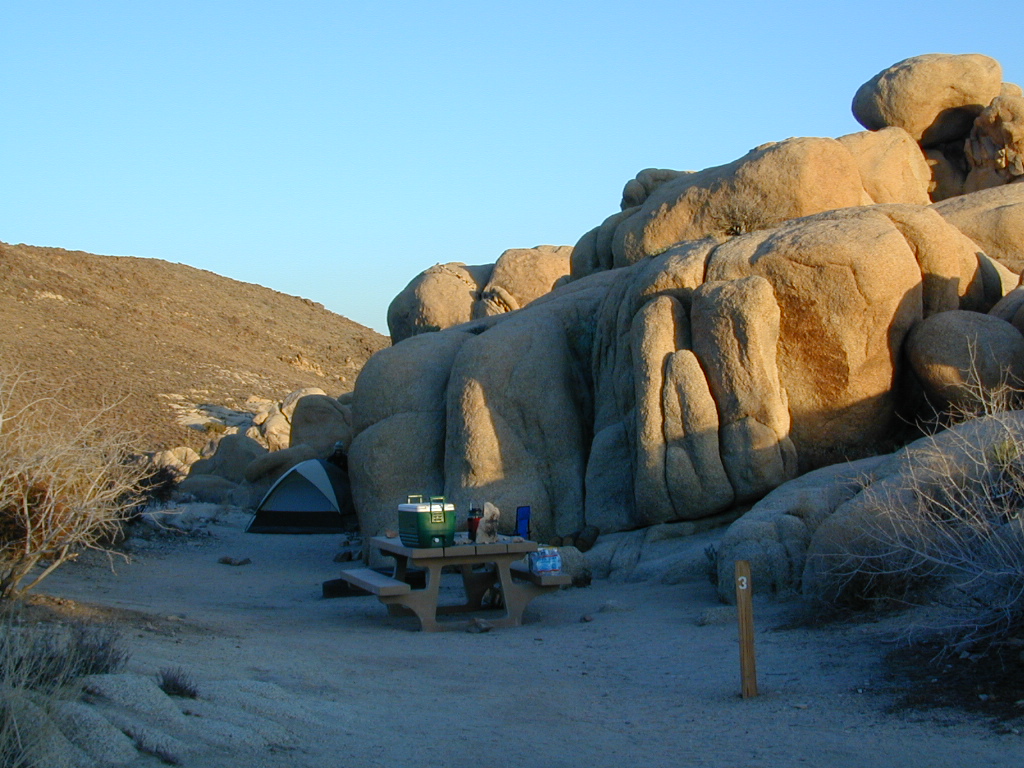
White Tank & Belle campgrounds are the smallest camps Joshua Tree National Park has to offer. On the east side of park both campgrounds are located half a mile from one another.

This Southern California desert lunar-scape National Park is more popular & crowded because of the proximity to major urban areas. The south east side of the park entrance station, Cottonwood, is the least busiest gate.

  • bouldering
  • camping
  • hiking
  • stargazingawesome rocks


From the town of 29 Palms (on Highway 162) take National Park entrance South on Gold Park Rd. At intersection with Loop Rd. (do not turn right) Go straight through onto El Dorado Mine Rd. about two miles drive leads the 2 campgrounds.

camp

Joshua Tree National Park
760-367-5500
760-367-7511

breakfastclub

campground  elev. spots  veg toilet water fee
White Tank  3800′ 15 josh vault none no

joshes

chair4marc
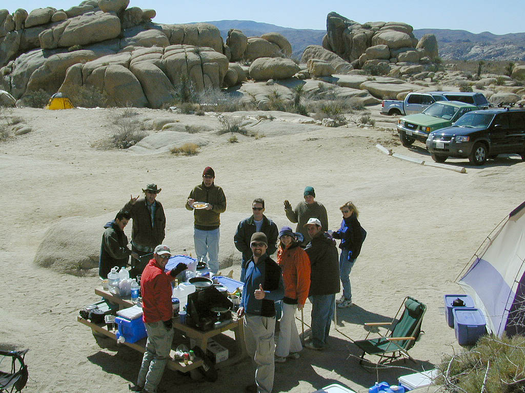
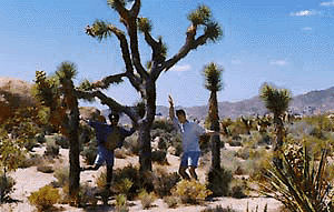
In the years between 2000-2005  founder of Total Escape, DanaMite, lead several guided camping trips to Joshua Tree and liked this specific area the best.

desert

danarocks

Wishon Reservoir

Lake Wishon – Sierra NF

Western Sierra Nevada Lake
Central Sierra California
lake wishon

East of Fresno, CA
East of Shaver Lake

EB from Fresno, Hwy 168 up to Shaver, w/ another 30+ miles on paved backroads
(Dinkey Creek Rd & then McKinley Grove Rd)
Way, way back, beyond Dinkey

You gotta really wanna BE at places like this. Magical High Sierra mountains – California’s finest. Sheer beauty surrounds this lake w/ granite domes, granite cliffs, granite trails, forests, peaks and plenty hiking, fishing, water and boating. It does take planning (way ahead) to make it out here, cuz the area is only accessible during summer months. Typical of high altitude lakes, snow buries them annually and the roads get closed off to the public (usually NOV-MAY is winter). Some backcountry routes become snowmobiling trails during winter, and the Sierra National Forest has plenty of great snomo action (if snow is deep).

Wishon Lake, California
elevation: 6600′

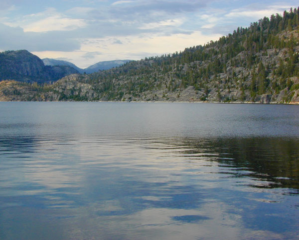
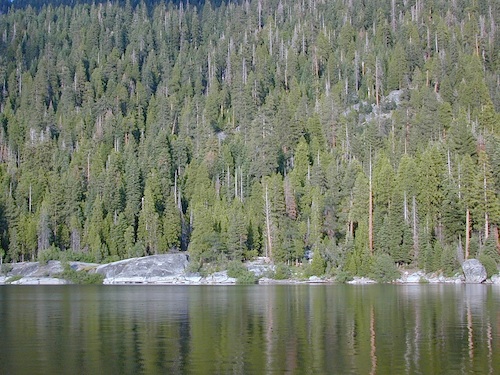
High Sierra Granite Reservoir with pines trees and rocky, granite shoreline. Not nearly as amazing as its cousin w/ the domes to the north, Courtright, Wishon has less granite & less wind, but more accessible backroads to explore, plus more car camping options. Both lakes are part of the Helms Creek hydro-electric project (dams) that make up the PG&E water infrastructure out in these parts – The Kings River Drainage System.

Backpacker trailheads, Woodchuck, Rancheria & Crown Valley all lead to dead end dirt roads – with nothing but solitude for miles & miles. Some might be passenger car accessible. Winter weather changes dirt road conditions (often).

The Kings River Geological Area is nearby, as well as both the John Muir Wilderness & Dinkey Lakes Wilderness.
Wishon Sierra Nevada

Large Reservoir with 8,000-10,000′ high sierra mountain peaks surrounding. Pine forests, views, fishing, camping, hiking in every direction, secluded dirt roads. Perfect high elevation trailheads, next to John Muir Wilderness. Great for backpackers!

All boating, but no waterski or jet ski.
One public boat ramp. Fishing boat rentals available.

WARNING: Water level changes daily.


lake area recreation:

Backpacking
Boating
Campground Camping
Dinkey Lakes Wilderness
Fishing
Hiking
Horse Pack Trips
John Muir Wilderness
Mountain Biking
Primitive Camping
Sierra National Forest
Snowmobiling the Sierras
Spanish Lake 4×4 Route
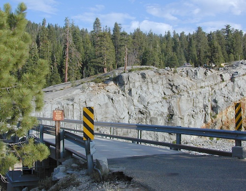
bridgewishon

Wishon is a summer vacation paradise for trout fishing, hiking, backpacking and back road exploring.

CLOSED FOR WINTER: NOV-APRIL = Snow closes the road for winter. For all you hardcore campers and hikers, you must call ahead to see if roads are open. It is rural forest, well traveled, but snow storms will shut everything down out here (for many months). Although, in some mild winters you can drive as far as Dinkey Creek on pavement. Gates are locked beyond that.

Central Sierra Wishon Lake Camping

LilyPad Campground @ Wishon Lake

Upper Kings Group Campground (by reservation only)

helpful numbers:

High Sierra Rangers Office: 559-855-5355
Pineridge and Kings River Ranger Districts
29688 Auberry Road, Prather, CA 93651

Dinkey Creek Ranger Station
(June thru September)
559-841-3404

Wishon Village RV
66500 McKinley Grove Road, Shaver Lake, CA 93664
559-865-5361
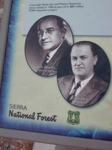
Engineering

Other places nearby


Black Rock Lake
Sierra Forest Road #11S12
Courtright Lake
Dusy Ershim 4×4 Trail

Dinkey Creek Campground
Dorabelle Campground
Gigantea Campground
McKinley Sequoia Grove
Sawmill Campground (dirt road)

Free, primitive or open camping abundant on the dirt backroads in Sierra National Forest. 4 wheel drive is not required for most routes, but a high clearance rig would help. Some gravel roads are graded annually and suitable for passenger cars – during summer months and only for about the first mile or two, off of the main road (pavement). Mud and snow are common on backroads!
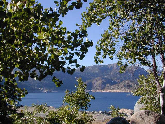
Aspens @ Wishon, Western Sierra
nearby towns:
Fresno, CA
Huntington Lake
Lakeshore
Pine Flat
Prather
Shaver Lake
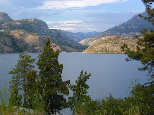
 

Sierra National Forest Map
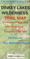
Dinkey Lakes Map
Dinkey Lakes Map
John Muir Wilderness Trail Maps Sierra Nevada Topo Map

Wilderness Wishon California

wish on

NOT TO BE CONFUSED WITH:
Wishon in Giant Sequoia & Wishon @ Bass Lake

There is another popular camp spot called Wishon Camp – on the Western Divide Highway, much further south in the Sequoia National Forest.

Wishon Campground on the Tule River in the Giant Sequoia National Monument. Just up from Springville, CA

And also, the Bass Lake Wishon; there is another WISHON Campground at popular Bass Lake, South of Yosemite NP.
Lily Pad Campground

Lilypad Campground @ Lake Wishon Reservoir
Sierra National Forest, California

The long journey up the mountain into the Sierra National Forest is only for the true adventure seekers. First off, get a good forest map. Second, plan several days if not a full week off of work to explore this region in depth. It is a long drive from most anywhere in California, and this spot is way, way tucked back in there right up against the High Sierra peaks and wildness.
East of in Fresno, historic village of Clovis is a good lunch stop in route. Drive up mountain on Hwy. 168, turn right at Shaver Lake on to Dinkey Creek Rd. Now you will clock the mileage 28.7 miles to the camp. Drive past McKinley Grove and past Dinkey Creek. Follow signs to Wishon Reservoir. This campground is located adjacent to the road before you reach the dam.

All this travel time will have you asking ‘is it worth it’? The answer is ‘yes’….. if you want an uncrowded lake with plenty of wilderness surrounding you. Granite rock and forest all around. Lake Wishon is a hydroelectric reservoir operated by PG&E

Lily Pad Campground

Central Sierra Camping – Wishon Lake

High Sierra Rangers Office: 559-855-5355

• Elevation: 6,500′
• Number of Sites: 15
• Camping Reservations: No
• Sites Available: First come, First serve
• Vehicle Accessibility: 35′ limit on RVs & trailers
• Length of Stay: 14 Days
• Toilet: Vault
• Water: Piped
• Season: Closed in Winter Snow
• Fee: Yes

camp sites at lake

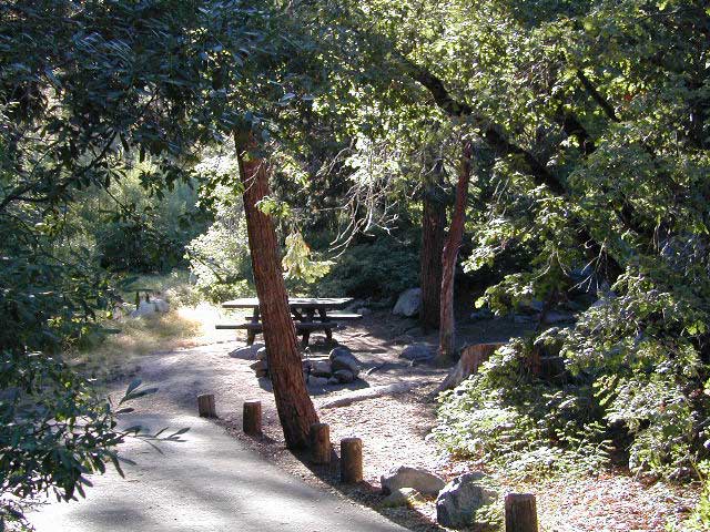
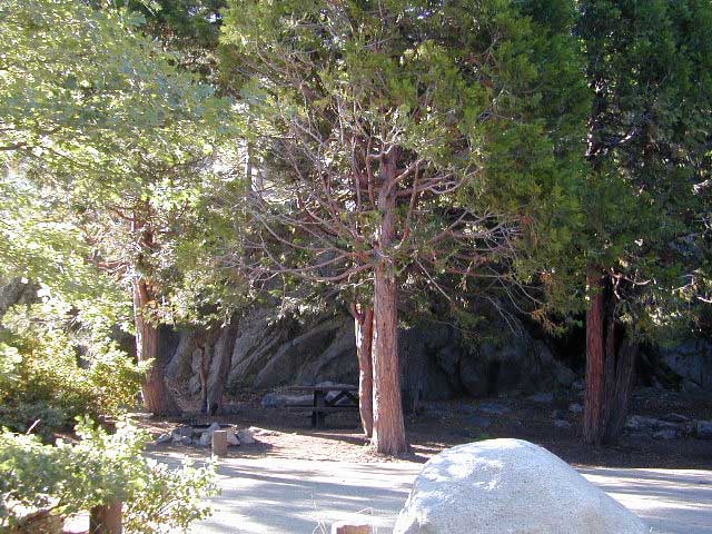
Large granite boulder coves provide cubby-hole privacy w/ shady trees and well spaced camp sites. Very unique design with paved driveways, adequate for handicapped camping with some sites with better access than others. 4 camp sites are considered walk-in sites.

Lake views from camps are only a mere climb up to the top of the nearest granite, which will show you just how close you are sleeping to the big water.

As with any Sierra location, holiday and summer weekends are the most busy. Tourists, family campers and RVers are all out enjoying the sunshine. Mid-week camping is good for fishing, relaxing w/ peace and quiet. Off season is best for having the place to yourself.

Outdoor recreation in the area include – hiking, camping, backpacking, rock climbing, mountaineering, sightseeing, kayaking, canoeing, mountain biking, off-roading, creek fishing, lake fishing.


Neighboring Wishon Village has a small general store, RV park w/ wifi & boat rentals.