California Coast Trails
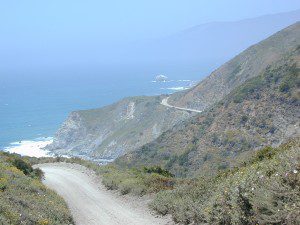 Coastal hikes are the mildest trails California has to offer, ranging from scenic strolls along the base of beach cliffs to steep redwood forested canyons. From Torrey Pines in San Diego to the multiple redwood parks along the North Coast, there is no shortage of hiking near the coastline. Southern California has more beaches than parks, with tide pool areas being a favorite destination for many. Central Coast has lush, fern canyons with year-round flowing creeks and numerous bluffs and rugged beaches. Bay Area has hiking trails nearly everywhere – along the bay, in the woods or on the coast. NorCal has all the wilderness, parks and remote beaches one could ever hope for. What are you waiting for? Get out there.
- Big Sur – Partington Cove – Spend a whole day just hiking in a redwood canyon and cove near Julia Pfeiffer Burns State Park. From rocky shorelines at the historic point, to scenic tree lined waterfalls to redwood forest and tall ocean view hillsides, the Central Coast offers plenty to do & see. Picnic paradise, wade in a small pool, or just sit & watch the waves crashing.
- San Luis Obispo Hikes
- Coast Walk.org
- California Coastal National Monument BLM
- California Coastal Trail.info
- Headwaters Forest Reserve BLM
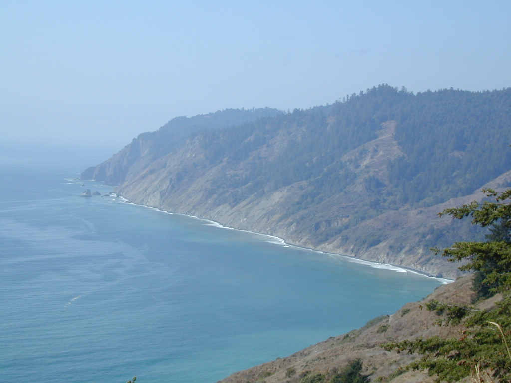
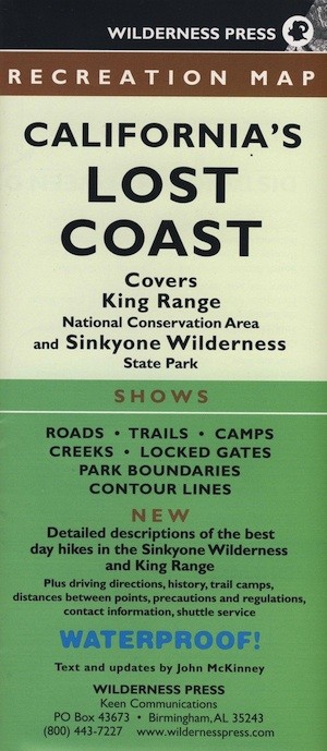
- Hiking the Lost Coast
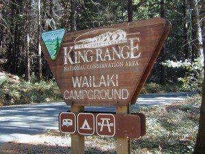
- King Range National Conservation Area
- Los Angeles Hiking
- Modern Hiker– SoCal hikes
- NorCal Hiking Trails
- Palos Verdes Peninsula Land Conservancy
- San Diego Hiking Trails
- Santa Barbara Hiking Trails
- SantaBarbaraHikes.com
- Torrey Pines State Reserve
- Ventana Wilderness Alliance
San Francisco Bay Area Hiking
- Bay Area Hiker extensive San Francisco Bay hiking site
- Bay Area Ridge Trail multi-use, continuous trail overlooking San Francisco Bay
- Bay Nature Institute
- East Bay Barefoot Hikers
- East Bay Regional Parks
- Kevin’s Hiking pages
- Mike Thoma’s SF Bay Area Nature Hikes
- Midpeninsula Regional Open Space foothill, bayshore & Santa Cruz Mtns.
- Mt Diablo Hiking Trails
- Napa County Hikes & Bike Trails
- San Francisco Hiking
- Santa Cruz Circle Trail – described & mapped
- Santa Cruz Mountains Trail Association – info on other links to CA parks & trails
- Trail Center – help build trails in the Bay Area
- Two-Heel Drive– a hiking blog
hiking trail maps
Channel Island National Park Map
Los Angeles Hiking Maps
Los Padres NF South (Ojai, Santa Barbara, Frazier)
Los Padres NF North (San Luis Obispo, Big Sur)
Marin Hiking Maps
Mendocino National Forest Map
Six Rivers National Forest Map
Redwoods Map
Ventana Wilderness Map w/ Silver Peak

