Tag Archives: hwy 1

Sinkyone Wilderness

Lost Coast of California

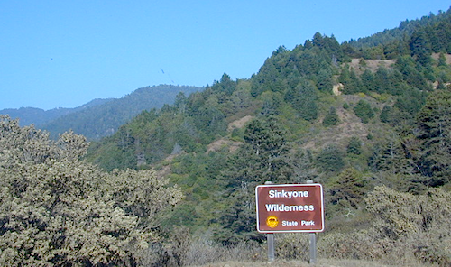
Lost Coast California Sinkyone Wilderness State Park

NPS  
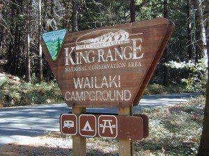
King Range National Conservation Area

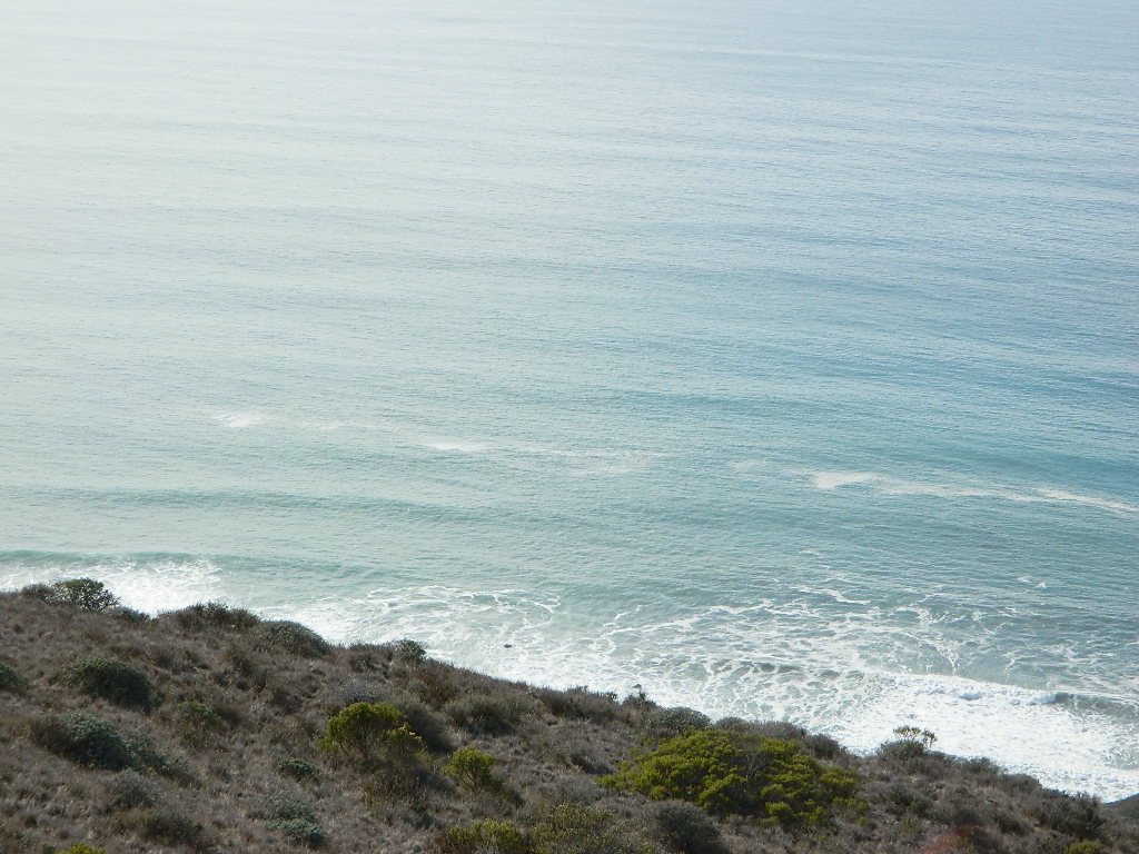
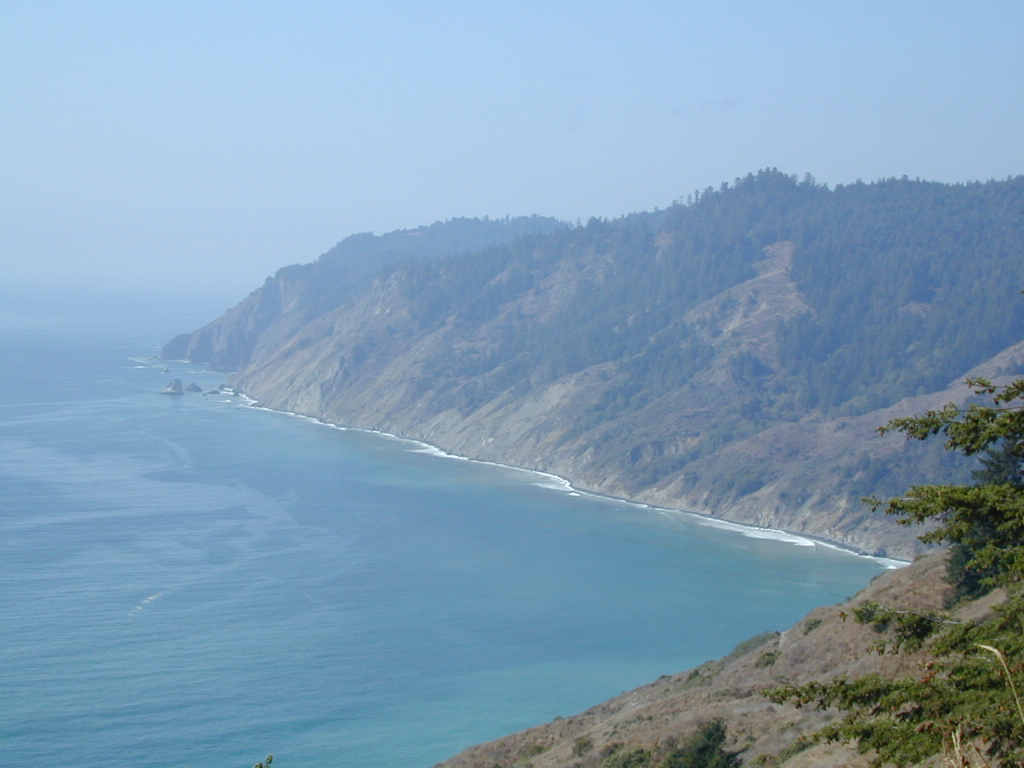
Redwood groves and wilderness meet the Pacific Ocean at the infamous Lost Coast of California. Northern California is NorCal – steep trails, creeks, waterfalls, ocean views, and coastal cliffs. Mendocino and Humboldt County has numerous redwood parks and picnic grounds located near Pacific Coast Hwy 1 & US Hwy 101. This particular wilderness area is located in between Westport and Shelter Cove, just west of Leggett, CA. Situated on the west side of US Hwy 101 and only accessible via a long dirt road. The Sinkyone wild lands are managed under the California State Park system.

Sinkyone Wilderness hike Ranger Station 707-986-7711

Sinkyone Wilderness access –

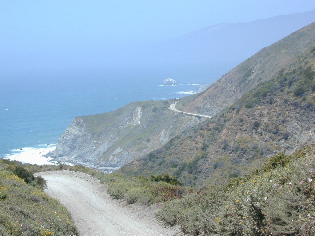
North end – Needle Rock: 36 miles southwest of Garberville & Redway, California. Briceland Road west from Redway, this road becomes Mendocino County Road 435. The last 3.5 miles are unpaved, steep, & narrow. South end – Usal Beach: Approximately one hour north of Ft Bragg on PCH or 15 miles west of Leggett on PCH from Highway 101. Look for mile marker 90.88 on PCH. Turn north on small dirt road; 6 miles to Usal on unpaved, steep, narrow road.

ROADS MAY BE IMPASSABLE IN WET WEATHER. RV’S & TRAILERS NOT RECOMMENDED.
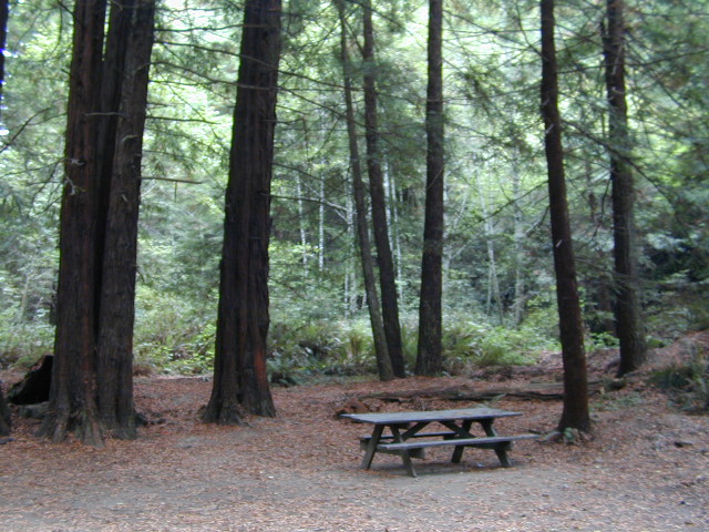
  View Larger Map

dscn0147 Usal Campground

LOST COAST CAMPING

Usal Campground – USA Lumber Company staged a logging operation here in the early 1900’s. Now this remote spot is a popular back road campground accessibly only by a long dirt road drive. 4×4 and car camping only; No trailers or RV campers!

NEARBY TOWNS

Wilderness State Park

23S01 – Los Padres NF

Big Sur Dirt Roads

Los Padres National Forest Road #23S01

Willow Creek Road
Los Burros Road

South Big Sur Coast Dirt Roads & super scenic US HWY 1 – North of San Simeon and Hearst Castle, north of Ragged Point and just past Gorda, CA a dirt shoulder, widens, a break in the bushes on the right side of the highway, a small wooden sign for the Yurt Resort called Treebones and the turn off to the back-country of Los Padres National Forest Road #23S01

Willow Creek is a steep coastal canyon w/ Willow Creek Trail #5E08 in the creek below and the dirt road 1000′ above. Willow Creek Day Use Area, the Willow Creek bridge and Willow Creek beach w/ restrooms, picnic tables, and paved parking lot near the highway.

DIRT ROAD, high clearance is recommended, but not required. 4×4 may be needed in wet weather. Motorhomes, trucks w/ trailers and RV campers are not gonna like this rugged, narrow, steep, dirt road and are advised to stick to the pavement. Camper vans and SUVs are be better suited for this terrain.

  • Both Thomas Bros. Maps & Benchmark Map’s California Atlas has this route listed as Los Burros Road
  • Google Maps has this route named Will Creek Road
  • Yahoo Maps has this route as Willow Creek – Los Burros Road
  • Mapquest has this one listed as Los Burros Rd – Fort Hunter Liggett (which is a military base,  on the opposite side of the mountain range near US Hwy 101)


View Larger Map


Free Camping in Big Sur

Willow Creek Rd

Several primitive camp sites can be found along this rugged dirt road, which climbs steeply and switchbacks thru redwoods, madrones, cedars, grass lands and oak hills. Sites within the first 3 miles  of this road offer the serene sounds of the ocean – waves, seals, sea lions as well as traffic on the busy highway. There are a few private properties back here in the boonies too, so read signs and don’t go exploring this region in the dark.

About 8 miles back on Willow Creek Rd is Alder Creek Campground – a small developed camp w/ only 2 camp sites and no piped water and no fees.

Prewitt Ridge  also has numerous ideal top-of-the-world, free camp sites, which do require a lot more dirt road driving and a very good backcountry map.

  • Sycamore Flat Road intersects @ 3 miles up
  • Alder Peak Camp is San Martin Top @ 12 miles up
  • South Coast Ridge Road is at the very top @ 14 miles
  • Lions Den Camp is 19 miles of dirt road driving
  • Three Peaks Camp is 21 miles way back there
Los Padres Monterey District Big Sur Map NatGeo

Silver Peak Wilderness

Hiking the Southern Big Sur Coastline

faded public lands
Sun-bleached, wooden Los Padres sign – near Salmon Creek trailhead.

Silver Peak Wilderness, Big Sur Coast

Central California Coast

31,555 acres

8 miles South of Gorda, CA
along Pacific Coast Hwy 1
near Big Sur, CA
Los Padres National ForestBig Sur Wilderness Map

Backpacking and hiking trails on the Pacific Coast, steep terrain next to ocean. Coastal redwood canyons, oaks hills, great views. The neighboring Ventana Wilderness is located just north of Silver Peak hiking trails.

Southern Redwood Botanical Area

Silver Peak –3,590′ elevation
Alder Peak –3,744′

trailheads

  • Salmon Creek Trail #5E09
  • Hwy 1 @ connection Trail #5E10
  • Alder Creek Trail #5E09

mm

mile markers along Pacific Coast Highway 1
(Monterey County)

  • Cruickshank Trailhead – 6.5 mm
  • Soda Springs Trailhead – 3.8 mm
  • Buckeye Trailhead – 2.4 mm
  • Salmon Creek Trailhead – 2.2 mm

developed campgrounds nearby –

nearby towns –

Ocean View Hikes Big Sur


View Larger Map

Oak Foothills

Gaviota Hot Springs

Las Cruces Hot Springs
also known as Gaviota Hot Springs,
and as Gaviota State Park Hot Springs

Top Pool

W of Santa Barbara, W of Goleta, CA
North of Gaviota State Park

US 101

US Hwy 101 @ PCH 1 exit
follow frontage road on south side of the 101


View Gaviota Hot Springs in a larger map

This soaking spot is a convenient stop for those traveling the 101 on the California Central Coast. The hot pools are located in an overgrown canyon, about half mile up the hill from the parking area. The natural earthen pools tend to be warm, mushy, and smelly (like sulfur) but never super hot.

These are old, historic, volunteer built pools that are not maintained regularly, so keep that in mind when comparing this location to other well-manicured springs. Many of the locals that care for these sacred spaces only get paid back by reckless visitors with litter, graffiti and vandalism. If you want places like this to stay open, we must do our part to ensure that we leave it better tan we found it.

Parking fee, lot managed by California State Park. Gate closes at dark.

gaviota park signs

1 mile hike round trip

Poison oak, snake and ticks can be a problem at this location, so do be on the lookout.

swampy pool

hiking trails from here –
Gaviota Peak (fire road) and Campbell Trail (unmaintained)