

Sequoia National Forest Campgrounds
Sequoia NF Camping
Sequoia Campground Reservations – Giant Sequoia Campgrounds, Western Divide, Kern Canyon
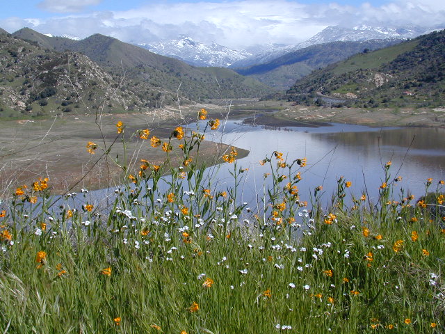
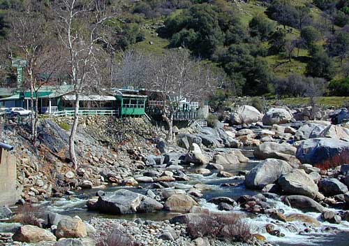
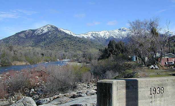
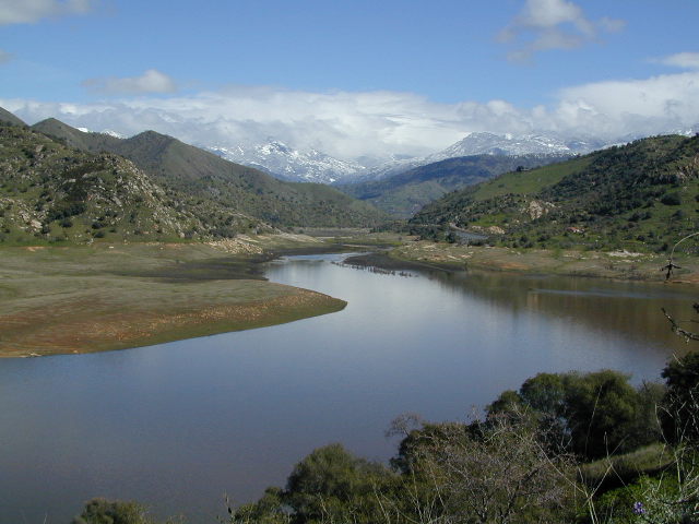
areas include: Kernville, Kern River, Lake Isabella, Sherman’s Pass, Kennedy Meadows, Forks of the Kern, Western Divide Highway, Camp Nelson, Kings River, Hume Lake & Sequoia National Park
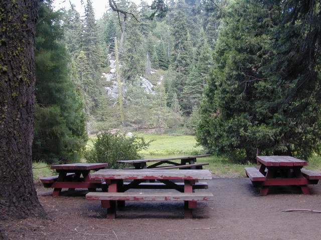
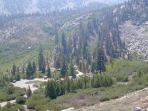
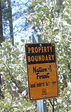
 Listed below are all the Sequoia National Forest campgrounds, public lands for outdoor recreation. USFS

Sequoia Campgrounds
| campground | elev | spots | veg | toilet | water | notes |
| Alder Creek Campground | 3900′ | 13 | alder | vault | creek | W of Alta Sierra |
| Auxiliary Dam Campgr | 2650′ | dsp | – | flush | piped | Lake Isabella |
| Belknap Campground | 4800′ | 15 | pines | vault | piped | April – Oct |
| Big Meadows Campground | 7600′ | 25 | pines | vault | creek | CLOSED |
| Boulder Gulch Camp | 2650′ | 78 | oaks | flush | piped | fishing Lake Isabella; RV max 45′ |
| Breckenridge Campground | 6600′ | 8 | pines | vault | no | South of Kern River; no RVs |
| Buck Rock Campground | 7600′ | 5 | pines | vault | no | Kings Canyon NP |
| Camp 3 Campground | 2800′ | 52 | oaks | vault | creek | Kings River rafting; RV max 30′ |
| Camp 4 Campground | 1000′ | 5 | oaks | vault | creek | no RVs, Kings River rafting |
| Camp 4 1/2 Cabin | 1000′ | 5 | oaks | vault | creek | no RVs, Kings River rafting |
| Camp 9 Camp Area RV | 2600′ | 109 | none | flush | piped | Lake Isabella |
| Cedar Creek Campground | 4800′ | 11 | pines | vault | piped | W Alta Sierra; no RVs; May-Oct |
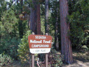
| Coy Flat Campground | 5000′ | 20 | pines | vault | piped | May – Oct |
| Eshom Creek Campground | 4800′ | 23 | pines | vault | piped | CLOSED |
| Evans Flat Campground | 6100′ | 20 | pines | vault | spring | equestrian, pasture; RV 20′ |
| Fairview Campground | 3500′ | 55 | mixed | vault | river | upper Kern River; RV 45′ |
| Fish Creek Campground | 7400′ | 40 | pines | vault | – | E of Sherman; RV max 27′ |
| Frog Meadow Campground | 7500′ | 10 | pines | vault | no | Sugarloaf Ridge; June-Oct |
| Frog Guard Station Cabin | 7500′ | 10 | pines | vault | no | Sugarloaf Ridge; 2 nite min |
| Gold Ledge Campground | 3200′ | 37 | mixed | vault | – | Kern River; RV max 30′ |
| Green Cabin Flat Camp | 1000′ | dsp | oaks | – | – | Kings River; primitive |
| Hanning Flat Campground | 2650′ | dsp | – | chem | – | fishing Kern River |
| Headquarters Campground | 2800′ | 44 | alder | vault | – | Kern River; RV max 27′ |
| Hobo Campground | 2300′ | 35 | oaks | chem | – | lower Kern River; RV 22′ |
| Horse Camp | 7600′ | 5 | pines | vault | – | equestrian campsites |
| Horse Meadow Campground | 7400′ | 41 | pines | vault | – | Sherman’s Pass; RV 22′ |
| Hospital Flat Campground | 3000′ | 40 | alder | vault | – | Kern River; RV max 30′ |
| Hume Lake Campground | 5200′ | 74 | pines | flush | – | CLOSED |
| Hungry Gulch Campground | 2700′ | 78 | oaks | flush | piped | Lake Isabella; May-Oct |
| Kennedy Meadows Camp | 6100′ | 39 | pines | vault | piped | E of Shermans; RV max 30′ |
| Landslide Campground | 5800′ | 9 | pines | vault | creek | CLOSED |
| Leavis Flat Campground | 3000′ | 9 | pines | vault | piped | California Hot Springs; RV 16′ |
| Limestone Campground | 3800′ | 22 | mixed | vault | creek | Kern River rafting; RV 30′ |
| Live Oak North Campground | 2700′ | 60 | oaks | flush | piped | Lake Isabella; RV max 30′ |
| Live Oak South Campground | 2700′ | 90 | oaks | flush | piped | Lake Isabella; RV max 30′ |
| Long Meadow Group Camp | 6500′ | 23 | pines | vault | piped | CLOSED |
| Lower Peppermint Campground | 5300′ | 17 | pines | vault | piped | CLOSED |
| Main Dam Campground | 2500′ | 82 | oaks | vault | piped | Lake Isabella; RV max 45′ |
| Mill Flat Campground | 1100′ | 5 | pines | vault | creek | Kings River rafting; no trailers |
| Panorama Campground | 7400′ | 10 | pines | vault | no | Sugarloaf Ridge; June-Sept |
| Paradise Cove Campground | 2600′ | 138 | oaks | flush | piped | Lake Isabella; RV max 30′ |
| Peppermint Dispersed | 7100′ | 19 | – | vault | creek | CLOSED |
| Pioneer Point Campground | 2650′ | 78 | oaks | flush | piped | Lake Isabella; RV max 30′ |
| Princess Campground | 5900′ | 90 | pines | vault | – | CLOSED |
| Quaking Aspen Campgr | 7000′ | 32 | aspen | vault | creek | CLOSED |
| Redwood Meadow Campgr | 6100′ | 15 | pines | vault | piped | CLOSED |
| Sandy Flat Campground | 2300′ | 35 | oaks | vault | – | Lower Kern River |
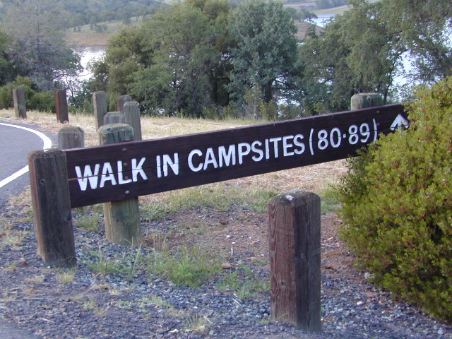
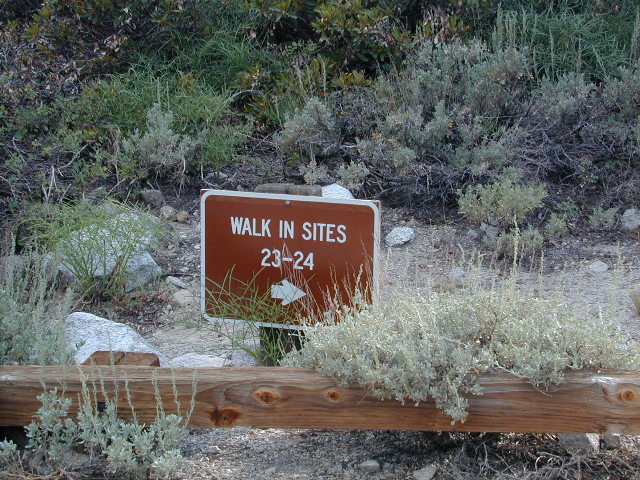
| South Fork Recreation | 2650 | dsp | – | flush | piped | some walk-in camp sites |
| Stine Cove Campground | 2650′ | dsp | oaks | vault | – | Lake Isabella |
| Stoney Creek Campgr | 6400′ | 49 | pines | flush | piped | CLOSED |
| Tenmile Campground | 5800′ | 13 | pines | vault | piped | CLOSED |
| Tillie Creek Campground | 2650′ | 159 | oaks | flush | piped | fishing; RV max 45′ |
| Troy Meadow Campground | 7800′ | 73 | pines | vault | – | OHV; E Sherman’s; RV 20′ |
| Upper Stony Creek Camp | 6400′ | 19 | pines | vault | piped | Sequoia NP; May-Oct |
| White River Campground | 4000′ | 12 | oaks | vault | piped | Sugarloaf; May-Oct; RV 16′ |
| Wishon Campground | 4000′ | 31 | oaks | vault | piped | open all year |
Sequoia Camping & Kernville Vacations, see also –
- Sequoia National Forest Camping Primitive
- Sequoia National Park
- Mineral King
- Mountain Home State Forest
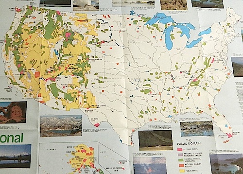
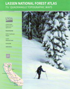
Topo maps, wilderness hiking maps
Equestrian trails, OHV maps –
- Sequoia National Forest MAP
- DOME LAND Wilderness MAP
- GOLDEN TROUT Wilderness MAP
- Jawbone Canyon OHV MAP

Recent Wildfires:
Castle Fire + Shotgun Fire:
SQF Complex Fire 2020
Colony Fire + Paradise Fire:
KNP Complex Fire 2021
Giant Sequoia Fires
Windy Fire 2021

Sequoia mountain communities include:

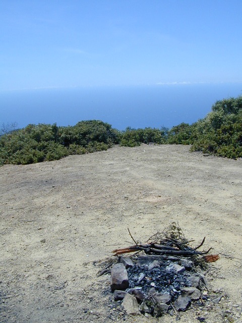
 If you plan on not making camp reservations; make sure to have a plan B or C choice camp – in case your desired campground is already full. Many popular destinations can fill up fast (by noon in the summer).


 Cuyama Peak Lookout Tower


 Always check for local fire conditions at nearest
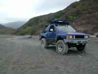
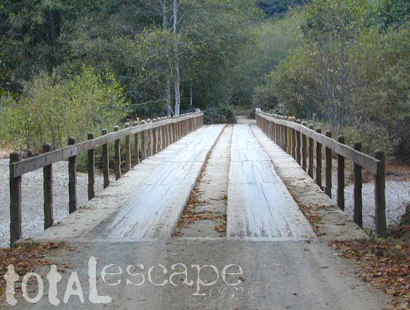
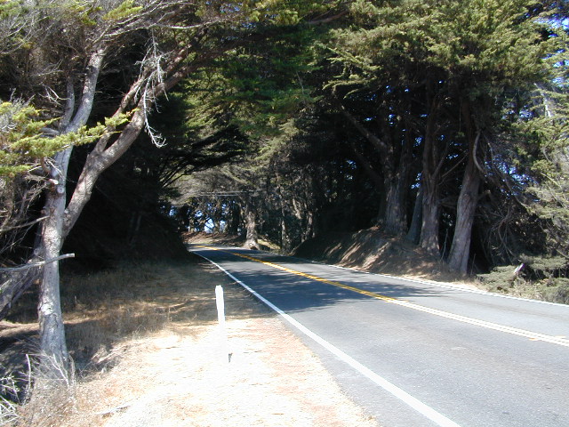

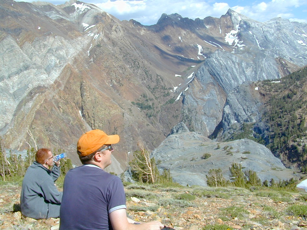


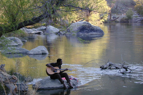


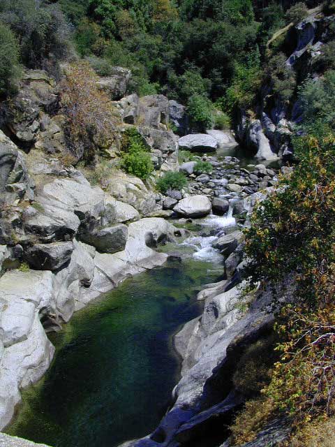
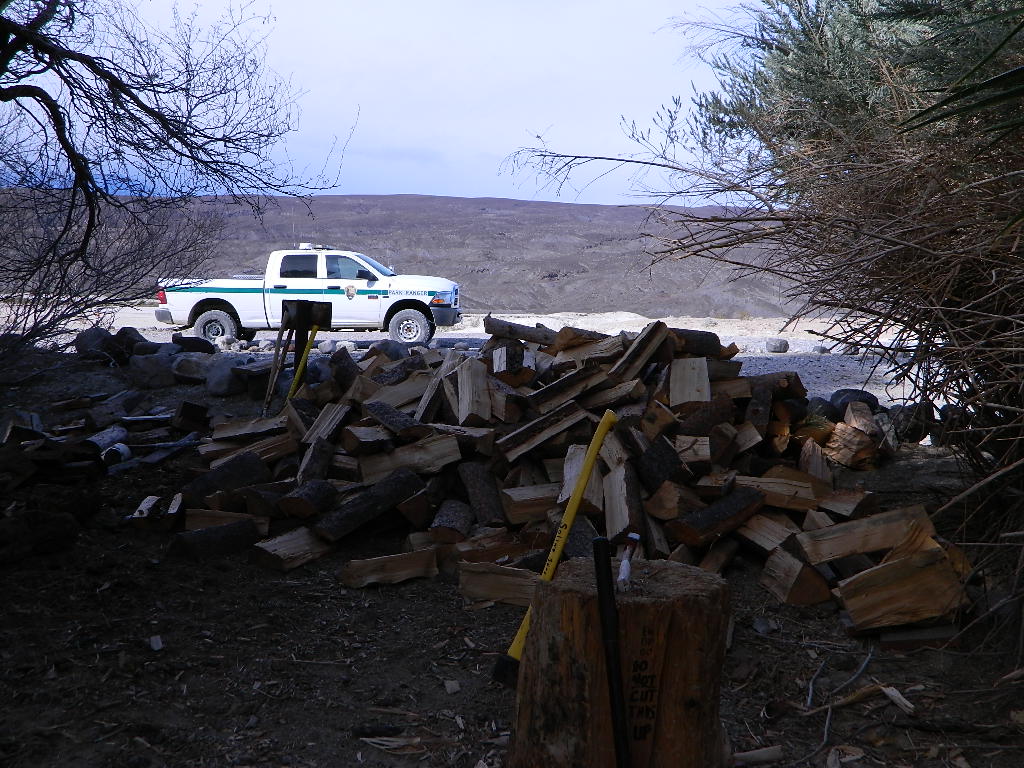
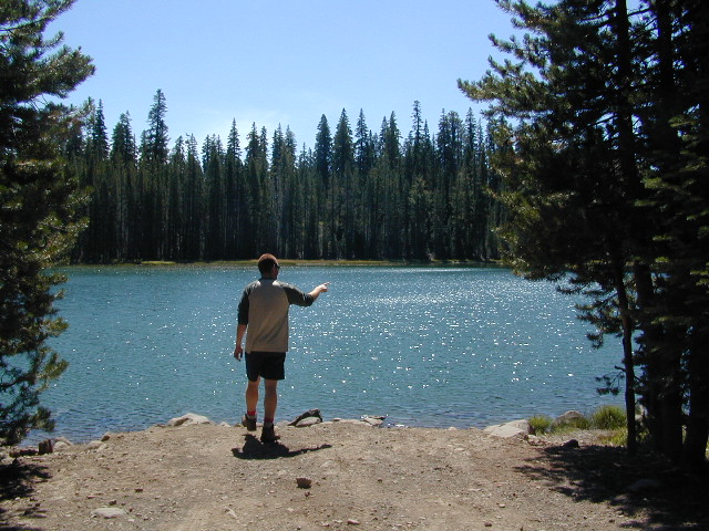
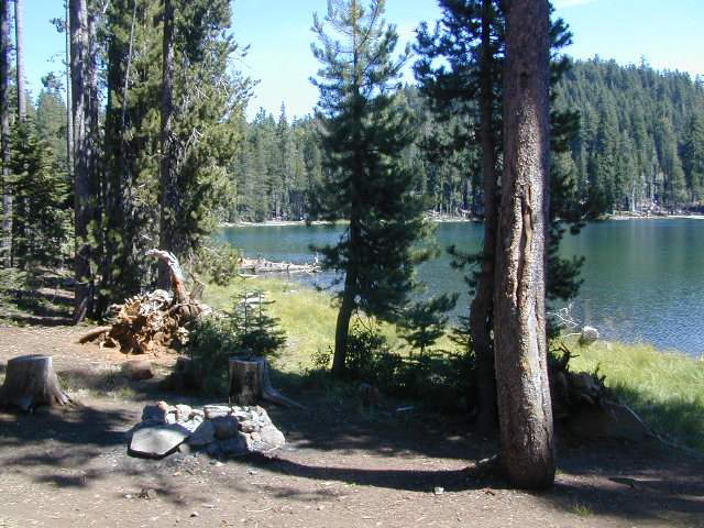
 When you go camping, you wanna explore the area. That’s why you are camping there, right? Hiking & biking trails, equestrian trails, off road routes, river, streams, waterfalls & the closest trail heads. If you prefer primitive camping, outside of developed campgrounds without all the amenities, topographic maps of the back roads give you a perfect overview on where to begin your search.
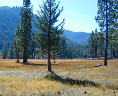


