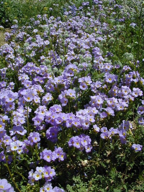
Wildflowers in California
Wildflowers bloom all over California – from the desert in winter months, to the High Sierra in mid summer. Remember that the timing is everything, since most of these precious, delicate beauties only last a week or so. Out there alone, all day in the bright sunshine, whipping in the seasons strongest breezes. Flora!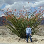
The higher the elevation, the later the bloom.
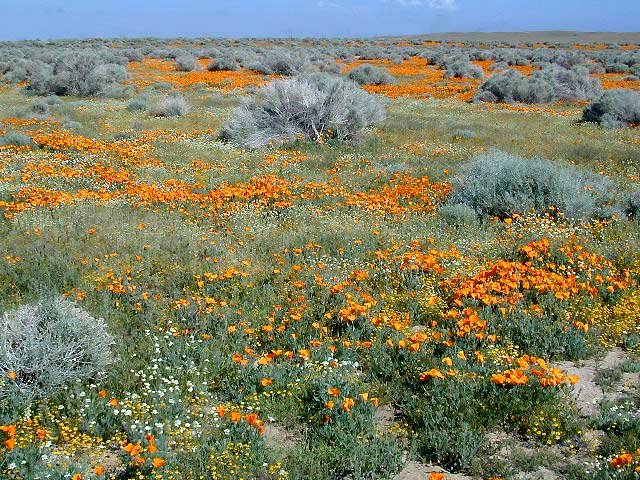
Lower elevation deserts begin to show as early as February and higher elevation peaks thaw in May. Wilderness meadows and flowers can be found in the mountains in summer. Generally in California, Springtime – between MARCH and JUNE is the best viewing time.
Places to find Wildflowers in California
West coast wildflower blooms in relation to elevation; Order of bloom is typically
- low deserts (FEB)
- high deserts (APRIL)
- river canyons
- central valley
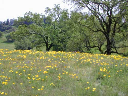
- mountain foothills (MAY)
- coastal foothills
- mountain forests (JUNE)
- high altitude meadows
- mountain lakes
- mountain peaks (JULY)
some recent finds:
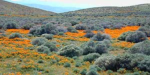
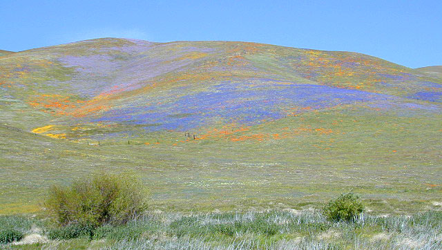
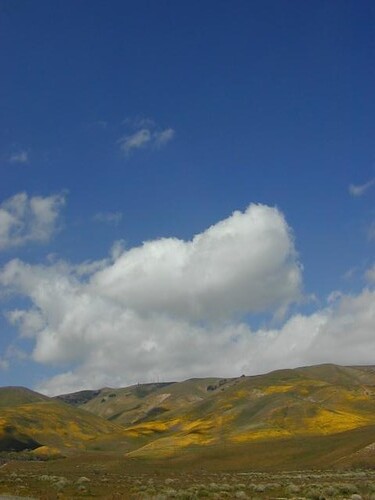
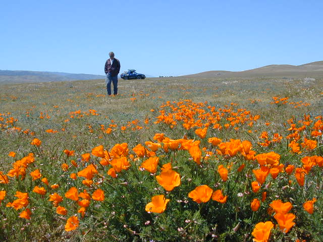
Carrizo Plain Super Bloom – W of Taft, CA
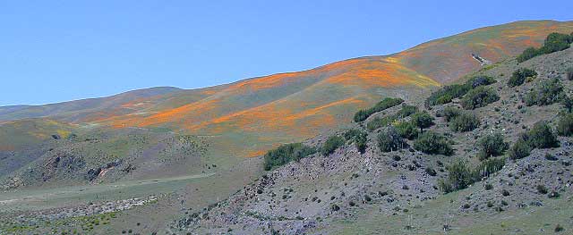
Klipstein Canyon, Kern County @ Hwy 166
Cottonwood Canyon
W of New Cuyama, CA
School House Canyon
W of New Cuyama, CA
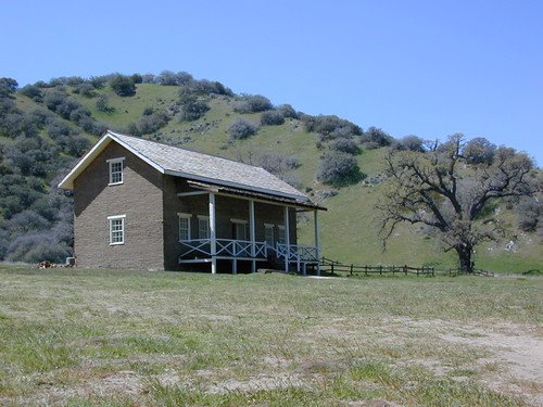
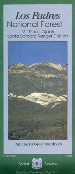
Figueroa Mountain Rd – Los Padres NF @ Santa Ynez, CA
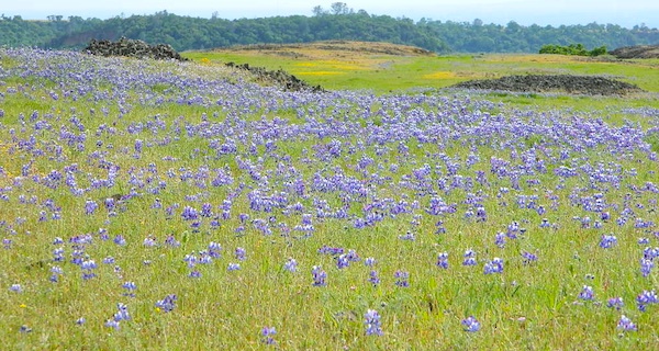
Table Mountain – Cherokee Road, N Oroville, CA
Box Canyon @ Mecca, California
Turtle Mountain Road, Needles, CA
Mill Creek, Lassen NF
Lassen Peak Lupine Way Hike![]()
Lassen NP (mid-to-late summer)

more pages on wildflowers –
California Wildflowers
California Golden Poppies
Poppy Reserve Antelope Valley, LA Co.
Poppy Stompers
Anza Borrego Desert Wildflowers