Tag Archives: interstate 5

Frazier Park Camping

Mount Pinos Camping & Frazier Park Campgrounds
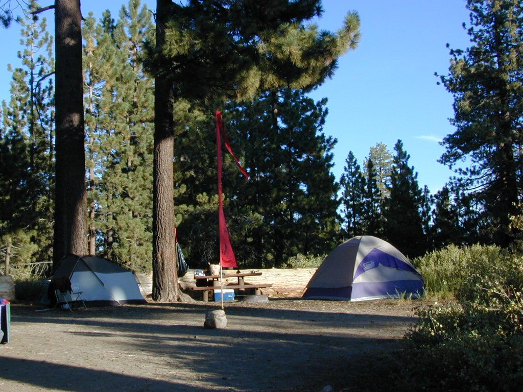
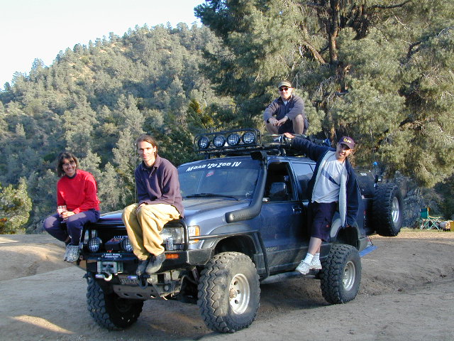
Drum Circle Camp
Mount Pinos Fire Circle Camp Spot
camp5
Gold Hill Campground (which is now closed) – right next to Piru Creek.

camp

Frazier Park and neighboring towns, like freeway-close Lebec and Gorman, is where the Los Angeles hills meet the Kern County mountains. Mojave Desert meets to Coastal Range. EXIT I-5 @ Tejon Pass (elev 4144′)

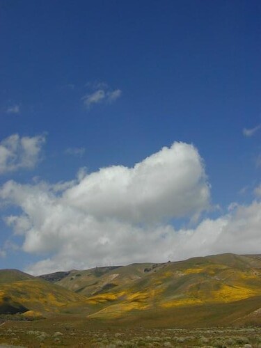
Wildflower hills, seasonal creeks, forested peaks, high desert canyons. Bike trails, hike trails, off road routes. High elevation backpacking, hang gliding, mountain biking and camping in every direction.
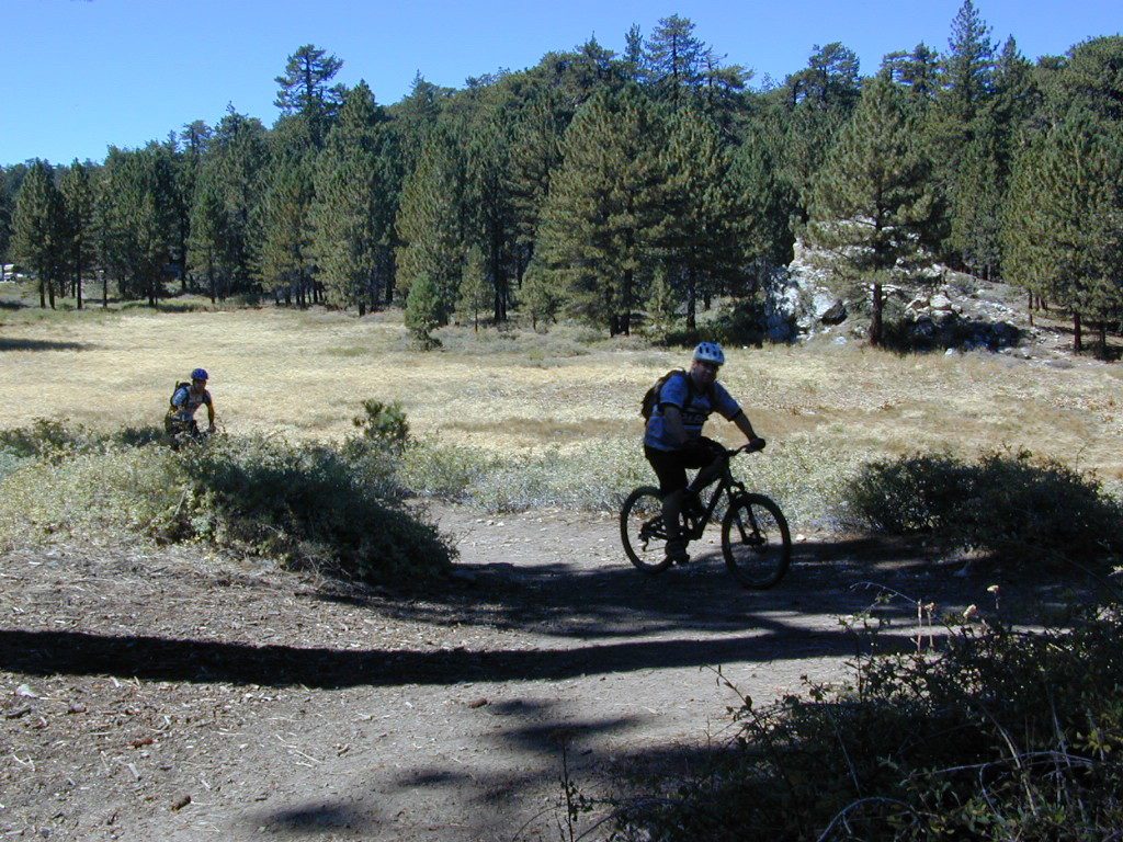
MTB SOCAL
Mountain Bikers love the trails at Mount Pinos.

High desert washes, oak creeks, pinyon pine forests, mountain meadows and numerous peaks – Frazier Peak, Reyes Peak, Alamo Mountain, Mount Pinos, Mount Abel (Cerro Noroeste) and north facing San Emigdio ridge.

Mt. Pinos District:

campground elev spots veg toilet water notes
Aliso Park, Cuyama 3200′ 11 oak pit no Aliso Cyn Rd. (#10N04)
Ballinger OHV Camp 3000′ 20 pinyon vault no Rd# 9N10, Cuyama Valley
Camp-O Alto 8286′ 12 jefferey pit no ridge, Cerro Noroeste
Caballo Campground 5850′ 5 oaks pit no Rd# 9N27, Cerro Noroeste
Cherry Creek 4×4 5200′ 2 oak no spring 4WD trail, Cuddy Valley
Chuchapate Campground 6000′ 30 pines vault piped Rd# 8N04, closed winter
Chula Vista Walk-In Camp 8300′ 12 pines vault no walk-in camps & RV lot
Cottonwood Campground 4600′ 2 ctnwd no creek 4WD only trail, fish
Dome Springs Camp 4800′ 4 oak pit no Rd# 8N40, Lockwood
Dutchman Camp 6800′ 8 pines no no Rd# 7N01, 4WD trails
Half Moon Campground 4700′ 10 pines pit no Rd #7N03, May-Oct
Kings Campground 4250′ 7 pinyon vault no OHV & Piru Creek
Marian Campground 6600′ 5 pine pit no closed in winter
McGill Campground 7500′ 50+ pine vault seasonal mountain biking
Mount Pinos Campground 7800′ 19 pine vault seasonal closed winter
Nettle Springs Camp 4400′ 9 pinyon vault no Rd# 8N06, Apache Cyn
Ozena Campground 3660′ 12 cottnwd vault no Lockwood Rd
Pine Springs Camp 5800′ 12 pinyon pit no Road #7N03
Pleito Campsite 5000′ 2 mixed no no dirt rd access, dispersed
Rancho Nuevo 3550′ 2 mixed no no river crossing
Reyes Creek 4000′ 30 oaks vault yes creek camping
Reyes Peak Pine Mt 5200′ 6 pines none no ridge camping
Salt Creek 4×4 3000′ 2 mixed no no 4WD only
Sunset Campground 4300′ 2 cottonwd no no Lockwood / Piru Creek
Thorn Meadows 5000′ 5 pine pit no Rd# 7N03C, horse corral
Tinta Campground 3600′ 3 pinyon pit no river crossing
Toad Springs Camp 5700′ 5 pinyon pit no Rd# 9N09, Quatal Cyn
Twin Pines Camp 6600′ 5 pine vault no Dry weather only
Valle Vista Camp 4800′ 7 mixed pit no condors, new toilet

See Mount Pinos Recreation Campgrounds only

Group Camping Sites in Los Padres Forest
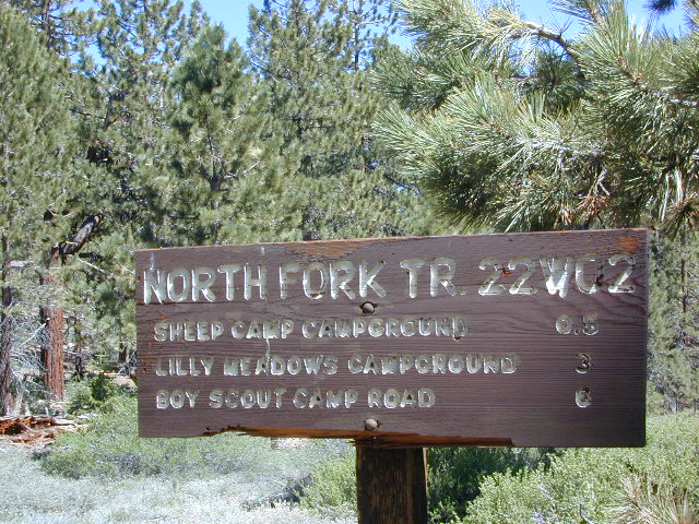
Hiking Pinos Signs
Mount Pinos – Peak to Peak hike.

Maps of Los Padres NF –nettle spring camp

Los Padres mountain towns –

DSCN0043

Toad Springs Campground atop Quatal Canyon. Small camps located in Los Padres NF have no fees, and often no toilets – so bring the shovel.

Many dirt roads are gated seasonally for wet weather or snow. Call rangers to find out which routes are open before you plan your weekend. Or have a plan B and C camp site ready if route is closed. Flashfloods, thunderstorms, and erosion means you may all-of-a-sudden need to use your 4WD. This is the mountains after all. UNpredictable weather is common.

frazier park camping

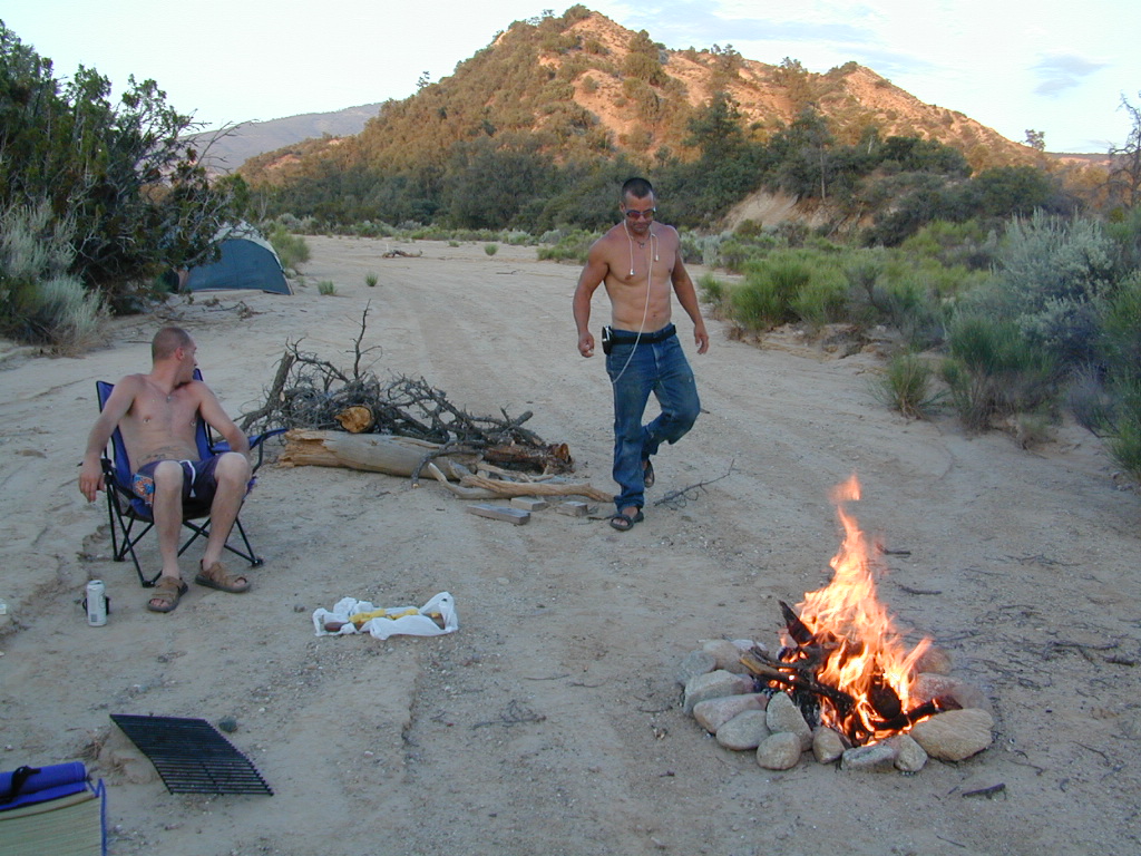
Primitive Camping in Quatal Wash, next to the OHV Route and the Chumash Wilderness
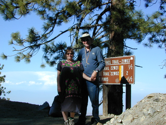
PeaktoPeak
Peak-to-Peak Hike: the toughest climb you’ll do, this decade.


Sacramento River Camping

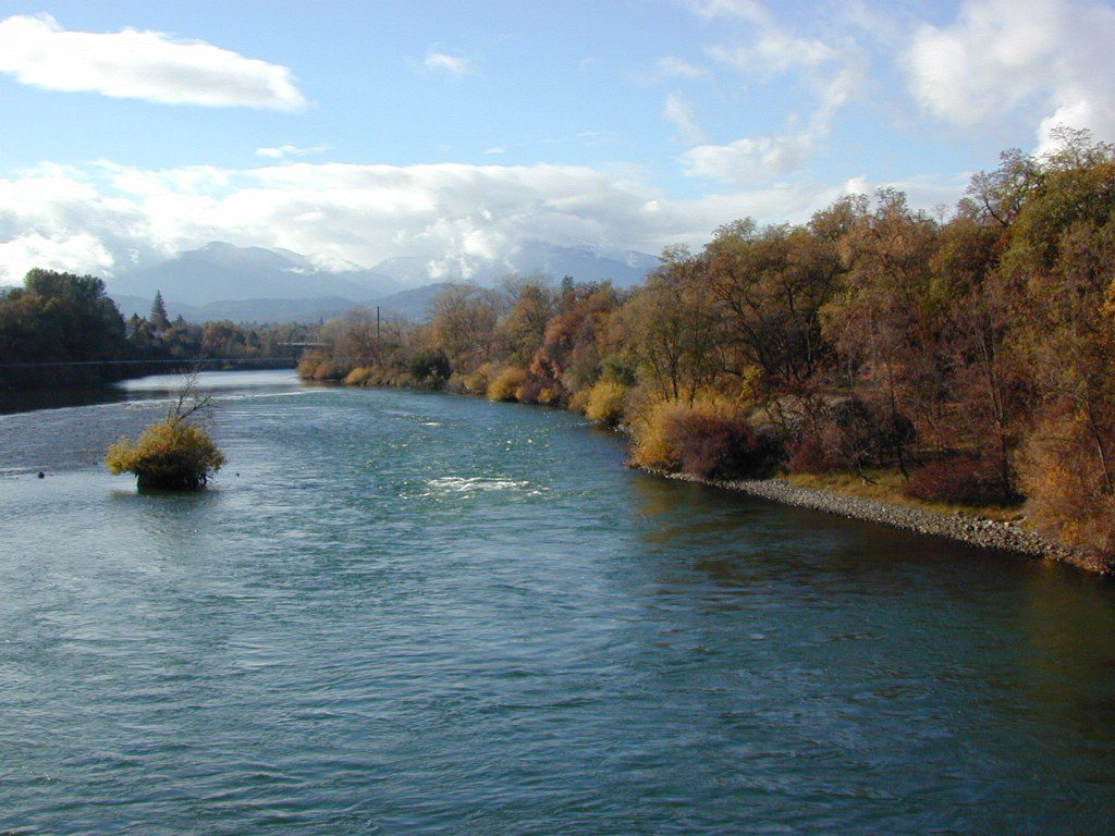
The Sacramento River of Northern California

The main artery from the North; the Big River of California

Sac River California

Mighty Mount Shasta snowmelt flows south, bound to meet the giant Lake Shasta, which merges with the Pit River and numerous other major waterways, becoming the big Sacramento River. Running right down the center of the North Sacramento Valley to merge into the California Delta. Shipping channel links the State Capital city of Sacramento with the San Francisco Bay and the Pacific Ocean. Agriculture and wildlife depend on this river heavily.

tent camping camp sites, campground camping, RV camps, dump stations, marinas, bait, gasoline, public boat ramps, boating, fishing, kayak rentals

Redding Winters

CAMPGROUND PARKS below listed from NORTH to SOUTH

JGW RV Park
Riverland Drive
South Redding, CA

Sacramento River RV Park
Riverland Drive
South Redding, CA

Wildlife Refuge
Sacramento River National Wildlife Refuge
Willows, CA
~ Camping is not permitted on the Sacramento NWR. Along the Sacramento River, camping is permitted on GRAVEL BARS for up to 7 days during a 30 day period. For waterfowl hunting, overnight stay is permitted in a vehicle or RV in designated areas. Tents are prohibited. No person may build or maintain fires except in portable gas stoves.

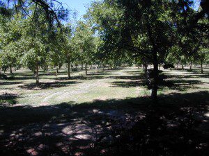
Orchards

Chico Area

Lake Red Bluff Recreation Area
Red Bluff, CA

Driftwood RV & Fishing Resort
@ Mill Creek Park
Los Molinos, CA

Hidden Harbor Marina & RV Park
Los Molinos, CA

River’s Rest Resort
Los Molinos, CA

Woodson Bridge RV Park
Corning, CA

State Parks
Woodson Bridge State Recreation Area
Historic State Park w/ Campground
South Avenue (A9)
Corning, CA

Bidwell-Sacramento River State Park
Chico, CA

Colusa Landing & RV
Butte Slough Road
Colusa, CA

State Parks
Colusa-Sacramento River State Recreation Area
Colusa SRA Camping

Camping Colusa
Tent Camping Colusa SRA

California Delta Region

State Parks
Brannan Island State Park
Rio Vista, CA

Sandy Beach Solano County Park
2333 Beach Drive
Rio Vista, CA

Vieira’s Resort
California Delta
Isleton, CA

State Parks
Old Sacramento State Historic Park
Downtown
Sacramento, CA

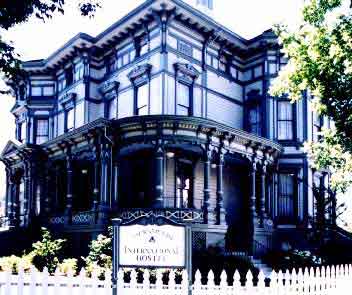
Sacramento Hostel, see more budget lodging

Tejon California

Tejon Pass / The Grapevine / Tejon Ranch

tejon poppies

Interstate 5 California (Kern & LA County)

Tejon is the largest and oldest privately owned ranch land in California. It spans from the northern slopes of the great central valley to the tops of the oak sided mountains. The Tejon Pass 4144′ elevation, is Interstate 5. The golden state freeway zooms by connecting north Los Angeles to the Central Valley…. at 80mph. Watch for CHP near here. It’s easy to go down hill at 90 and not even realize it.

The old portion of this mountain pass is known as the Historic Ridge Route, and many overgrown miles can still be traveled on the back road. Off road and motorbike trails join up with old sections of crumbling highway between Lake Castiac and Pyramid.  The artist Christo erected 1760 yellow umbrellas along these hillsides between Gorman and Tejon, back in 1991. Awesome wildflowers bloom throughout Tejon, Lebec to Gorman each spring from late March thru May.

Angeles National Forest is on the east side of the freeway w/ Castiac Lake and Los PadresNational Forest is on the west side, with Pyramid Lake. Back roads camping and total seclusion is prime pickins in this region, if you have a decent map and are willing to drive a little

Family campgrounds, RV astronomy sites, 4×4 camps on dirt roads, off road parks, walk in campground to alpine meadows, ridge line forest camps, backpacking, horsepacking, mountain biking, hiking. Numerous campgrounds can easily be found by driving 30 minutes from the “Frazier Park Mountain Road” exit off the freeway. Most folks aim for Mount Pinos, but the whole Los Padres forest is devine.

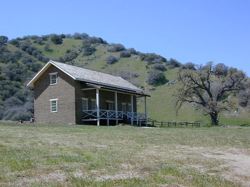
The fort location was established by the U.S. Army in 1854 and was designed to protect Native Americans. Restored adobes and museum feature exhibits on military life and local history. They also hold living history events performed by volunteers in costume. The park has a number of 400 year-old valley oak trees. Mister Peter Lebeck was killed by a grizzly here and there is even a tree to prove it.

Tejon photos

Fort Tejon Uniforms

Originally uploaded by danamight

Tejon Industrial Complex: This is the first large scale development in a master planned laid out by the privately owned Tejon Ranch Corporation. Another trucker stop on the opposite side of the freeway is already underway. In-N-Out Burger, Starbucks, McDonalds, IKEA distribution center, gasoline @ the bottom of the Grapevine. 30 miles south of Bakersfield & just down the hill from Lebec.

towns nearby –


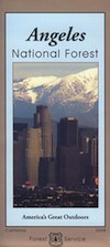
Angeles National Forest Map
Angeles Forest Map
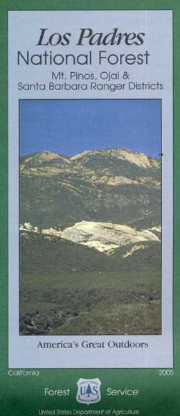
Los Padres National Forest Map: South
Los Padres Forest Map: South

Gorman Gold

Headed to Kern River ?

KERN COUNTY RD 184 = LAVAL ROAD: Wheeler Ridge. This is your freeway exit northbound if you wanna bypass Bako city traffic, on the way to Lake Isabella & Kernville.

Gas up in Lamont, it’s cheaper on the north end of town. Great little taco shops abound. Best bypass thru the farm belt to the Sierra Nevada.