Tag Archives: active

California Aspens

AspenGroves

Aspen Groves are easy to recognize with their thick stands. White trunks with dark knots, slender, with oval shaped leaves. Growing in a network of roots, which are found lining creeks, alpine lakes, or spilling out from higher elevations, along  scenic canyons.

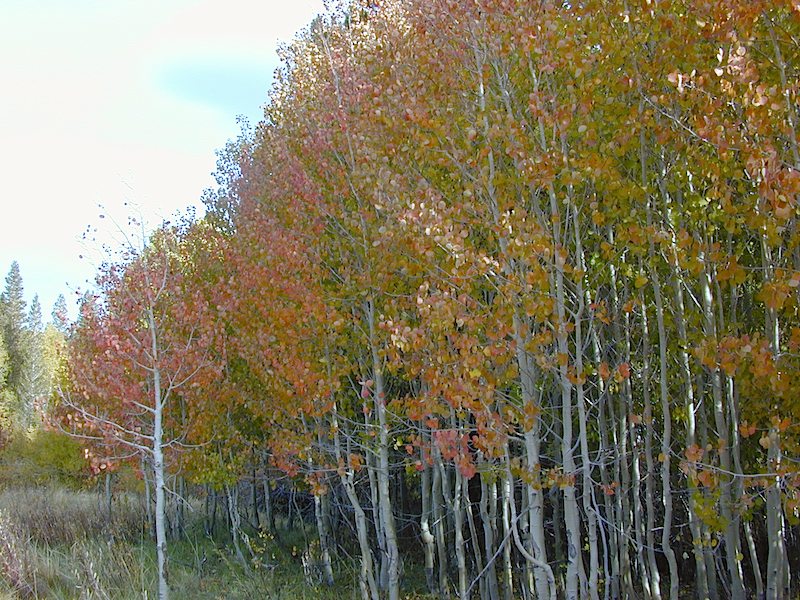
The unique round leaves which can turn spectacular colors in the fall season. The fluttering and flapping of the oval-shaped, thick, green leaf is a sure sign of summer. When breezes get cooler, Autumn is only a few weeks away and as quick as the cold comes in, what a short and special show they put on.
autumncabin
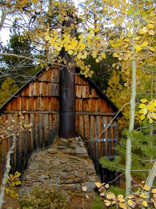
Green Creek historic cabin, on the Eastern Sierra

California Fall Colors

Aspen trees can be found at higher mountain elevations in California, usually above 4000′ – all the way up to about 10,000′ or higher, depending on the mountain range and local water flows. Groves have an extensive root systems underground, so they often withstand wildfires and can come back after the rest of the forest is gone.

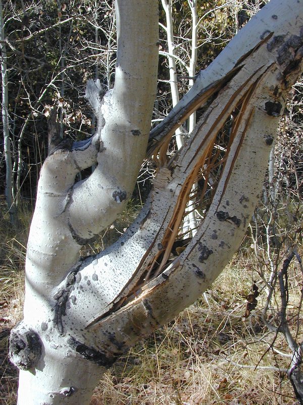
Beavers build dams in creeks around aspen trees, fishermen and campers love to camp next to aspens, and lovers carve their initials into their white bark. These trees do indeed take a beating, from all angles, winter weather included… so stop from cutting them!
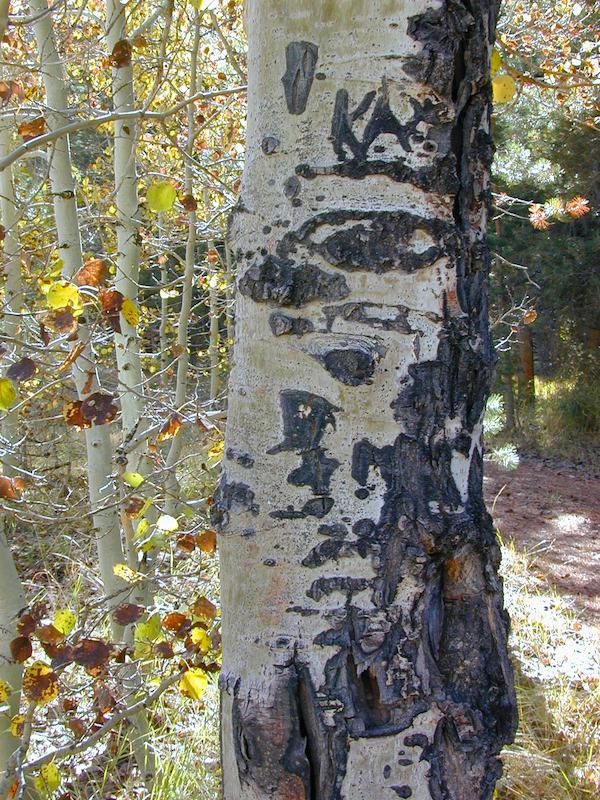
carvings

fishing creeks mountain biking stargaze Picnic Camp Hiking horseback back roads mountains

  • BIKE
  • CAMP
  • FISH
  • HIKE
  • KAYAK
  • PICNIC

summer and autumn

These deciduous trees are naked half the year, typically from November to April, as winter buries them in snow and ice. Time is of the essence, limited to Summer and Autumn – to enjoy their shade and the beauty of the groves. Scenic meadows and fishing creeks are just an added bonus for searching out the aspen.

Aspens can be found in hidden canyons, primarily along the Eastern Sierra US Hwy 395 and surrounding mountain lakes. Some Sierra Passes have decent displays of color as well – like Carson Pass Hwy 88 and Yosemite’s Tioga Pass Hwy 120.

Below is a list of Total Escape’s favorite aspen areas of California

ASPENDELL
BAKER CREEK (4×4)
BIG PINE CANYON – NORTH FORK TRAIL

BISHOP CREEK
BLUE LAKES, CARSON PASS
BLUE LAKE, MODOC

CONVICT LAKE, US 395
COTTONWOOD CREEK @ ANCIENT BRISTLECONES
COYOTE FLAT (4×4)

CROCKER @ LAKE DAVIS
CROWLEY LAKE, US 395

DUNDERBERG MEADOW

EAGLE LAKE @
ASPEN GROVE CAMPGROUND

GREEN CREEK ROAD, US 395
HASKINS VALLEY @ BUCKS LAKE
HILTON CREEK, US 395
HOPE VALLEY
JUNE LAKE LOOP

LAKE SABRINA
LAKE TAHOE
LAUREL LAKES ROAD, US 395
LEE VINING CANYON
LUNDY LAKE, US 395

MAMMOTH LAKES, US 395

MCCLOUD CREEK @ ALGOMA
MCGEE CREEK, US 395

MILL CREEK to MINERAL, CA
HWY 172 LOOP aspensofmineral1000
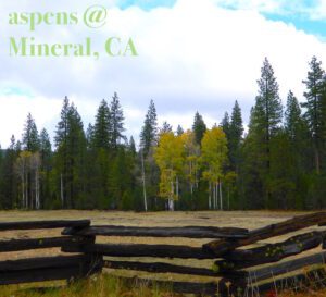
MODOC NF @ BLUE LAKE
NORTH LAKE, ASPENDELL @ BISHOP

ONION VALLEY @ INDEPENDENCE
PARKER LAKE RD @ JUNE LAKE LOOP
PINE CREEK ROAD, BISHOP

PLUMAS-EUREKA STATE PARK
@ UPPER JAMISON CREEK CAMPGROUND
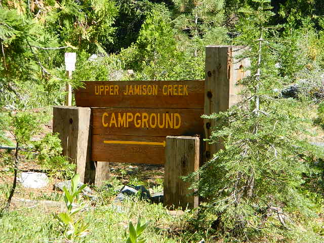
PLUMAS EUREKA

QUAKING ASPEN CAMP, GIANT SEQUOIA

RED’S MEADOW, MAMMOTH
ROCK CREEK ROAD @ US HWY 395

ROSS CAMPGROUND, PLUMAS NF

SPALDING, CA @ EAGLE LAKE

TOM’S PLACE, US 395
TWIN LAKES @ BRIDGEPORT
VIRGINIA LAKES, US 395
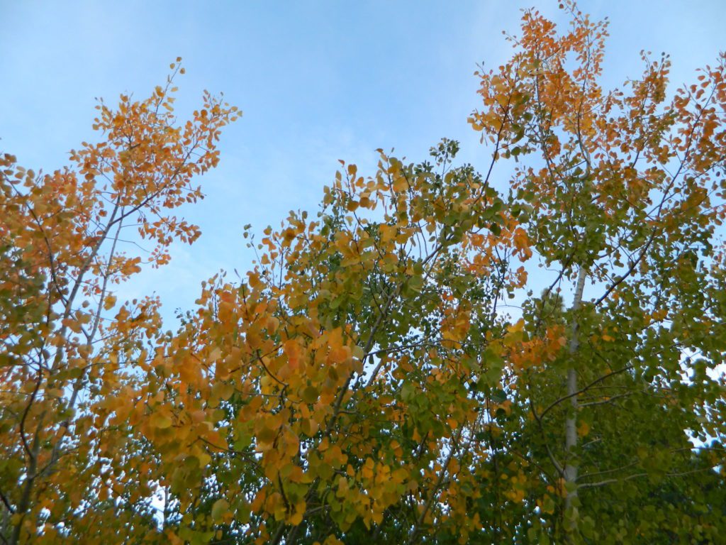
WISHON RESERVOIR

aspentips
Aspen Tips @ Eagle Lake California


aspenwall
Green Creek Camping

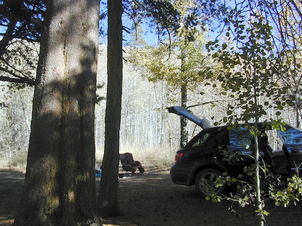
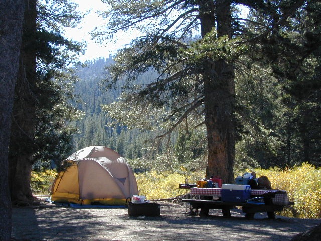
Autumn Camping in California
 

amigoaspens
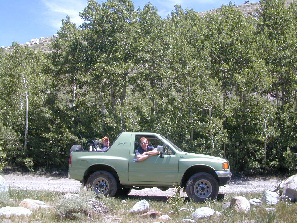
Laurel Lake Road @ 9000′ – Eastern Sierra, California


aspensplit

Pandemic

califrepublic


and all hell is breaking loose


Pandemic+Lockdown+Unemployed = Protest&Riots

The past weekend makes the Occupy Wall Street protest look like a walk in the park w/ a picnic.

slomarch

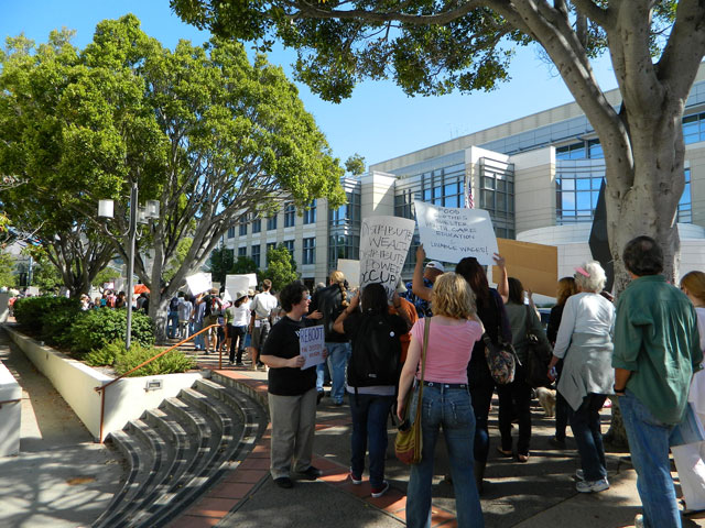
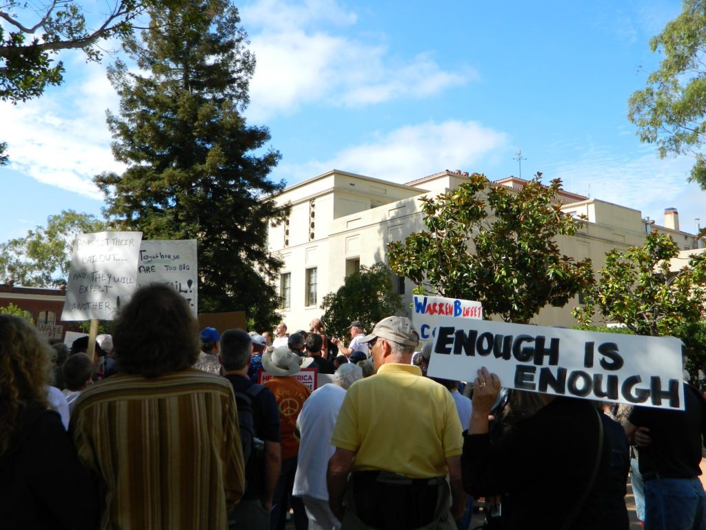
Only 8 and a half years ago (2011) – Americans were in the streets marching in mass. After 15 million people lost their home to foreclosure, 9 million lost their jobs and the banking system was teetering on the edge of financial collapse (2008), people woke up, joined together to demand a better system.

Banks got bailed out, We got sold out.

tentsatcourthouse

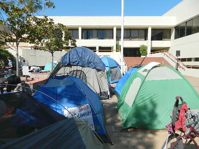
Mass Protest: Did things get better for everyone since then?
Ask around

protesters

are you ready to leave your comfort zone?

(manual labor may be involved)

desert_road

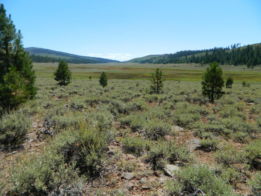
a vast resource for rural California

58 counties
58 Counties in Calif

plenty of space for everyone
grow food, save seeds

butterfly

Summer in the City = Uncertain

They want you – for your own safety – indoors, online, controlled and monitored. Wait, what?  Do we really need to stay inside 24/7 – stir crazy, checking news and social media hourly.

Escape to the real Outdoors

Turn off the television and the computer and go outside. Plant a garden, grow some food, read a book, go for a long walk or a day hike. Find a new waterfall, dust off the old mountain bike or bring a picnic to the nearest open space.

poppy desert
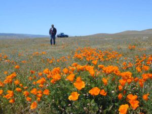
California Poppy Park
desert camp
Desert Camping is best in Spring.

@ HOME, for how long?home

Choose the outdoors, over the indoors. Solo and safe. Secluded, distant, remote. Total Escape specializes in these types of locations.

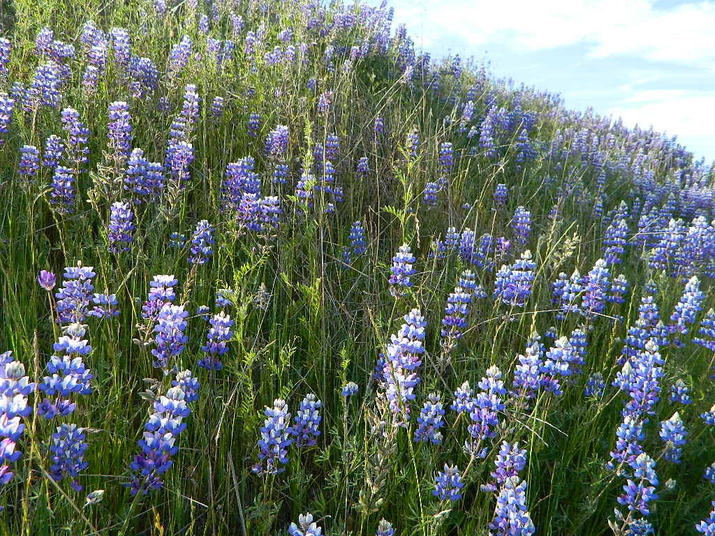
Lupine on Pozo Rd

even more suggestions:

baldrockroad

Camp Clueless

Camping Tips

California Camping Tips

New to California? Never camped before? Haven’t been out in years? No idea of where to start? Total Escape is here to help with all your camping questions, local destinations and share tips; Introducing you to the big adventure in inexpensive vacationing, primarily outdoors. Find rural, remote locations, ranches, small towns, rivers, lakes, creeks, well away from the crowds. Get outta town more often for less money.

WhiteFir Camp

Camp at Echo Lake

click here for all kindsa cool
california camping destinations

National Parks National Forests State Parks California BLM OHV routes California Wilderness
Beach Camping
California Forests
Wineries
Desert Parks
California Back Roads California Lakes

boon-docking basicscheck

  • be a self sufficient camper
  • get a campfire permit
  • have a shovel, bucket and water
  • bring topographic maps
  • get off the paved roads
  • arrive before dark, or bring GPS
  • expect to find best camp spots already taken, have a plan B & C
  • prepare for bears @ camp, if camping in the forest
  • minimal, if any, cell phone signal

free RV camping

RV

free Campgrounds Sierra

camp

Creekside Camp
California Creekside Camps
roundtentcamp
Mammoth Fishing & Camping
bigdoortent
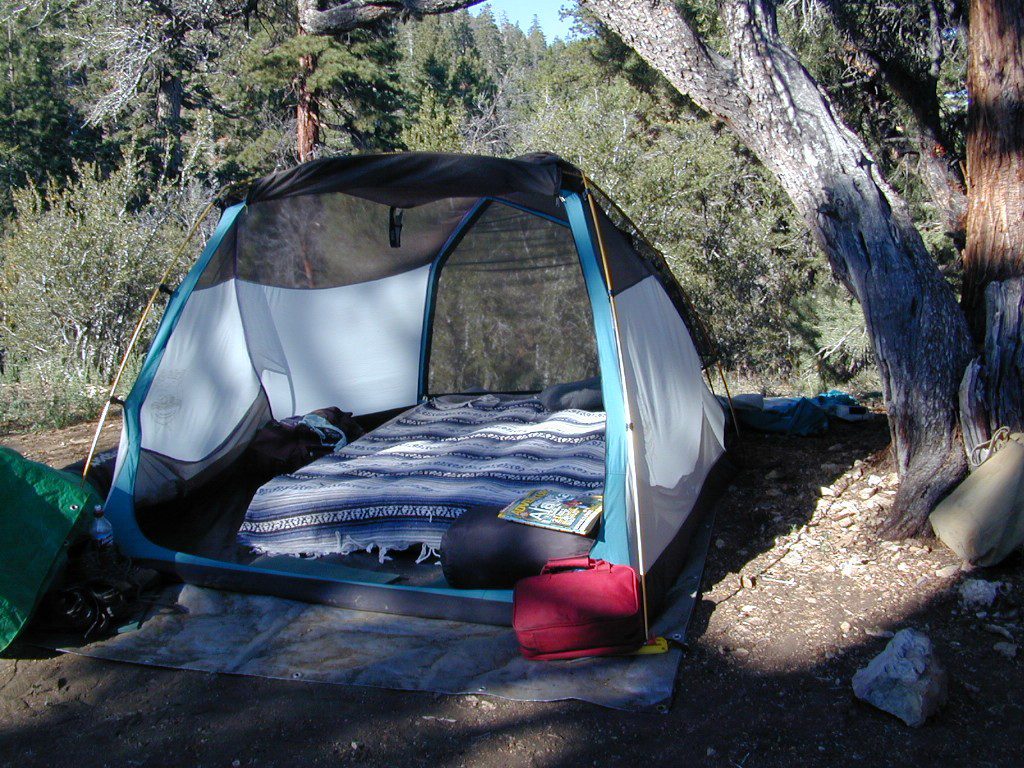
Flat, level, private, free. >>>> Find the perfect tent spot!

Canon Sin Nombre Slot Canyons

Happy Jan

Canon Sin Nombre – Anza Borrego
Mud Caves and Slot Canyon Hikes

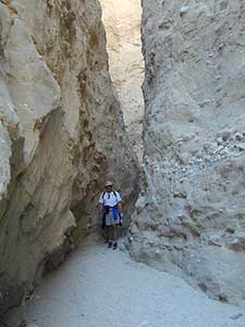
Anza Borrego Desert State ParkDesert Slot Canyons – South Anza Borrego State Park region, just off County Road S-2 east of the ‘badlands overlook’ view point is a whole network of narrow walkways & skinny canyon trails to explore. Some are so tight you have to turn side ways to fit through. There are more than one of these sandstone topless caverns. Finding a new one each time you visit is a fun challenge. Just north in the Diablo canyon there are dry mud tunnels & trails as well. Explore & be careful not to get lost. And don’t camp at the canyon openings during the threat of heavy rains…duh.

Drive down steep, sandy road into Canon Sin Nombre entrance (the dirt road just to the north of Badlands Overlook). A high clearance vehicle is recommended and 4WD may be required in soft sand. 2WD SUVs/trucks should keep their speed up through the soft sandy areas & try not to turn or stop suddenly. Go slow in narrow sections of the canyon & slow over the rocks to save your oil pan.Anza Borrego photos

Clock your mileage 1 mile exactly from the paved road (s2) & park out in desert wash, pull over between the smoke trees. Hike over to the left side & look for an opening in the canyon walls to a deep secluded trench. A campsite may exists here.

hikerHike up the first canyon which does require some rock scrambling. The gorge lets you out at the very top with an impressive view over the Sweeney Pass area. The canyon walls are so tight in some spots you may have to turn sideways to fit through. Upper body strength is needed to climb high ledges & boulder scramble through this natural maze.
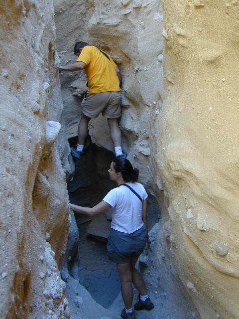
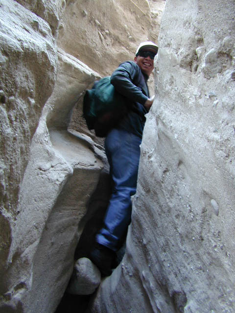
Once on top, wander on the ridge & check out the views; keeping to the right & then follow the next wash down to start the much longer & easier exit. Hike down in the main slot canyon which leads out to a big camp site & clearing. Exit slot area and turn right, walking back to the vehicle in the big wash.Slot Canyon

This particular hike is a blast on a full moon night, but not for a first timers try.

campBest time to visit: October – April

HIGH CLEARANCE VEHICLE access to reach trailhead. Moderate hike, boulder scrambling w/ dangerous mud walls. Flash floods here are possible during rains.

Plenty of 4×4 roads, SUV trails, & box canyons in the desert region.

Open primitive camping (free) all over
Anza Borrego State Park

The 2 nearest developed campgrounds:
Bow Willow Campground
Vallecito County Park

The Wall Walker

Smile Cheps

Poppy Stompers

California Golden Poppy

The official state flower of California is the POPPY

Spring usually means it’s warming up, to a great wildflower season in California. Time to get outdoors more! Hike, bike and picnic near the wildflowers and see some poppies.

poppy fields

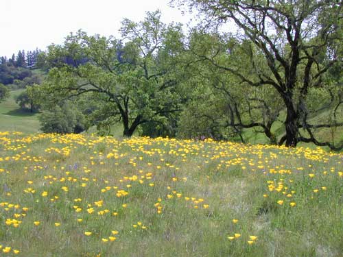
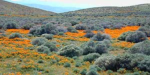
California Golden Poppies can be found throughout the state, in small patches near the roadways, rolling hills behind vineyards, in high desert flats (where wind gets whipping) or even out near a ranch, with oak hills and fields of golden orange.

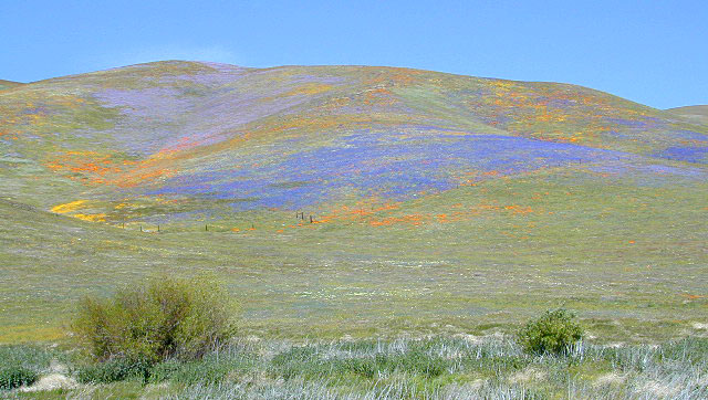
POPPIES can blanket hillsides, resulting in a show stopping event – which can be deadly on freeways? N of L.A. interstate 5 (the Grapevine) TEJON PASS (Lebec, Gorman, Junction 138) >> Please pull to nearest exit and stop the car. (It will be safest and well worth the 10 minute stretch break.)

Golden poppies can be found all over California. Flowers like lupine and owls clover can often be found nearby. Wildflowers may only last a few weeks, so go enjoy them while they last.

Bright yellow, gold, deep orange – or any shade in between!

best places to find poppies

NORTHERN CALIFORNIA

Table Mountain @ Cherokee Road
North of Oroville, CA

wine country

Wine Country NorCal

Alexander Valley Road

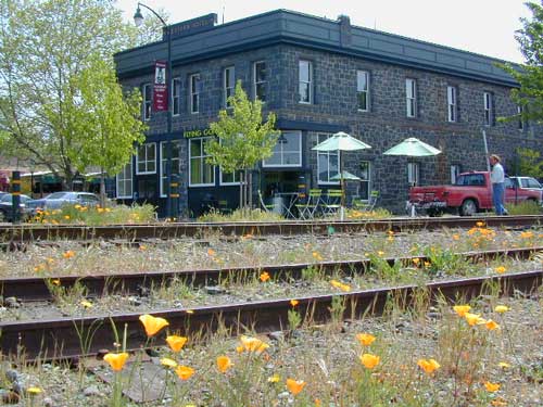
Railroad Tracks @ Santa Rosa, CA
Napa County
Sonoma County

Santa Rosa Tracks

CENTRAL CALIFORNIA

Kern County

Fort Tejon State Historic Park @ I-5
Cerro Noroeste Road & Klipstein Canyon
Carrizo Plain National Monument BLM
Kern River Canyon
S of Walker Basin @ Caliente Bodfish Rd
North of Tehachapi, CA

Santa Lucia Mountains
Rock Front Ranch
Schoolhouse Canyon
Cottonwood
Hwy 166, West of New Cuyama, CA

Figueroa Mountain Road
Los Padres National Forest
East of Santa Ynez, CA

Pine Flat Reservoir
@ Kings River, Sierra National Forest
East of Fresno, CA

East Bay San Francisco
The rural hills out east are the best places to find poppies in the Bay Area.

Mojave Desert Preserve
Providence Mountain SRA
Interstate 40
East of Barstow, CA

Central Coast California

Gold Country Hiking

Gold Country California

Auburn, CA
Central California Reservoirs
Located all around most rivers w/ dams (reservoirs) poppies can easily be found along highways, rural roads and on oak hillsides.


SOUTHERN CALIFORNIA

Boulder Creek Road (dirt)
Descanso to Julian, CA
San Diego Mountain Foothills

SoCal poppies

Lancaster Poppy: Antelope Valley Poppy Reserve

Poppy Hotline (661) 724-1180

Remember, stay on the trail!  Getting a picture of that one really nice poppy will crush all the plants along the way, and compact the ground leaving lifeless bare dirt for the next year or longer.  If someone else has started a trail, do not add to the damage.  Please be a responsible park visitor and leave the park as nice as you found it.

Or you can avoid the crowds & tour buses at the Poppy Park to head off on your own adventure. All along both sides of high desert Hwy 138 you can find fields of California Poppies, from the small town of Neenach, CA east to Hwy 14. Plus the hills of Gorman are usually full of color.

Gorman @ I-5
Gorman CA – Interstate 5 @ jct Hwy 138