Tag Archives: ranches

Big Meadows California

Highlands Ranch
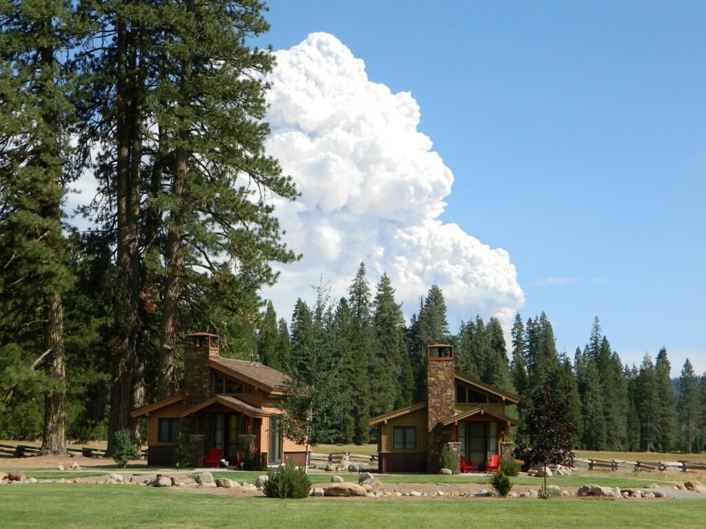
Highlands Ranch Resort cottages on Child Meadow
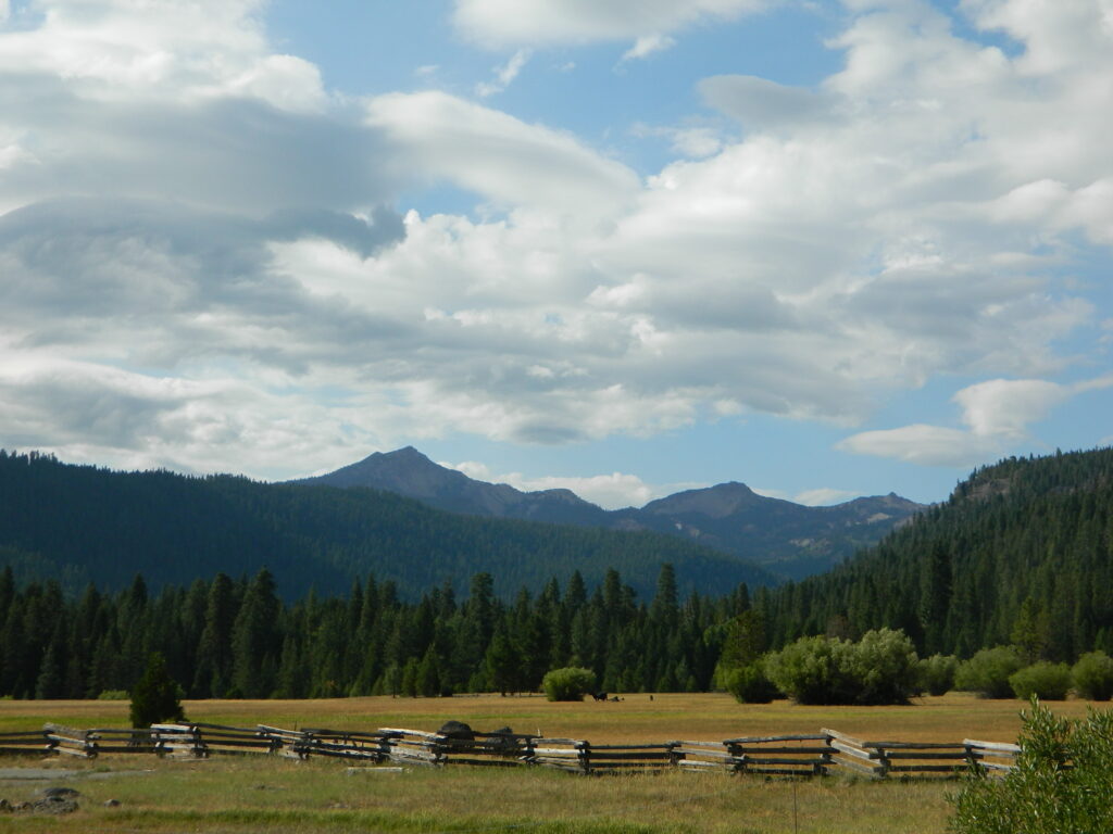
Childs Meadows Lassen
Childs Meadows @ Lassen

Big Meadows, California

In the mountains numerous places called ‘big meadows’ exist in California. Large meadows, huge meadows, high elevations and low. We are truly blessed by such a natural beauty in our local region. Remember those who have protected the land for future generations.

  • camping near
  • picnic
  • cattle grazing
  • hike thru
  • bike around
  • horseback riding
  • cross country ski
  • snowmobiling
  • stargazing
  • wildflowers
meadowroad
Inyo National Forest – highcountry backroads

For Southern California meadows – Mount Pinos has a large meadow next to the walk-in campground, Chula Vista. San Diego’s Laguna Mountain has some meadows and Big Bear Lake offers sage meadows, on the Fawnskin side.

Wild Meadows range from 3000′ elevation in the foothills, to about 11,000′ elevation in the highcountry. Vacant of trees, these wide open areas are generally colder spots, with moisture and with fragile ecosystems.

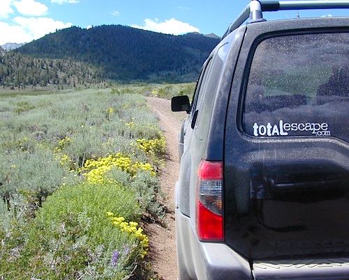
Eastern Sierra’s Inyo has gorgeous meadows of lupine wildflower (see above). Cattle grazing and 4×4 roads all over, up to 12,000′. High country mountain peaks surround. That area is called Coyote Flat w/ Coyote Lake. 4WD needed! Winter, snowy and almost inaccessible.

SNOW – Since meadows are generally located in the mountain regions, deep winter snow can make these special places impossible to reach (for about half the year). Summer is the prime time to explore the higher elevations, so plan accordingly.wildflower

WILDFLOWERS – Remember that the higher the elevation, the later the wildflowers will bloom. High Sierra meadows often bloom well into July & August.

AUTUMN COLORS – Aspen groves are often located next to meadows. Fall colors can be quite decent around October, before the first snow fall of the season.
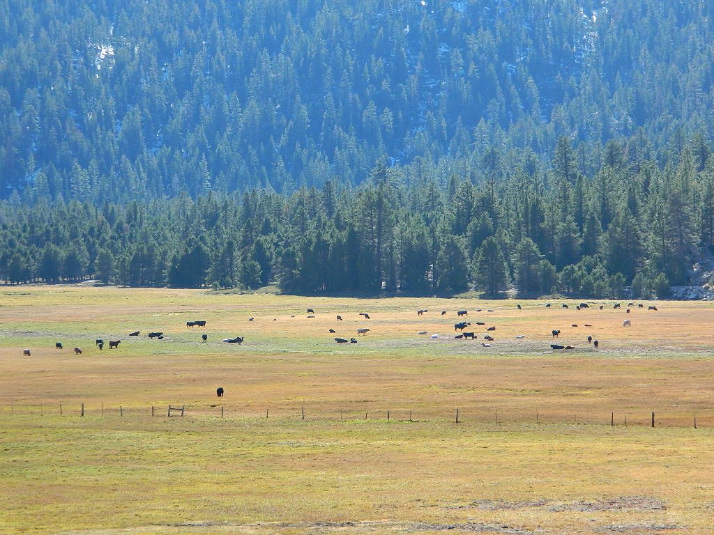
Big Meadow Kern
Big Meadow, Kern Plateau in Sequoia NF

MENDO glade – In the Mendocino National Forest the meadows are called “glades” – and the area has been heavily impacted by wildfire. Snow Mountains Wilderness was totally burnt in the Ranch Fire 2018, the largest wildfire in California history.

NORCAL history – Some Mountain Maidu tribes are known as the “Big Meadow Indians” – they made the Big Meadows of the Upper Feather River their home. Damming the Feather River created Lake Almanor in 1914, which flooded the meadows and forced native people to relocate.
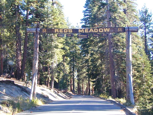
reds meadow
Horse pack station Red’s Meadow, behind Mammoth Mtn. Eastern Sierra

The Big Meadows below are listed from south to north.
Enjoy!

Big Meadow Sequoia, Kern Plateau, off Sherman’s Pass Rd

Big Meadows Road #14S11, Giant Sequoia NM
(in between Kings Canyon NP & Sequoia NP)

Big Meadow Campground, Sequoia, Road #14S11

Big Meadows Campground, Stanislaus NF, near Arnold, CA

Big Meadows Campground, El Dorado National Forest

Big Meadow Campground, Rock Creek Canyon, Eastern Sierra

Big Meadow Campground, Hell Hole Reservoir
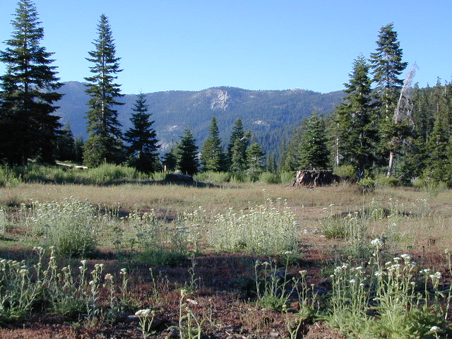
Cherry Mdws

Other awesome meadow areas include –

Monache Meadows, near Kennedy Meadows @ PCT
Horse Meadow Campground NFS, Kern Plateau
Dome Land Wilderness – Manter Meadows
Shirley Meadows Road #25S15
Powell Meadow Rd#21S36, Sequoia National Forest
Jerky Meadows – Lloyds Meadow Road #22S82
(primitive camping & trailhead Golden Trout Wilderness)
Jackass Meadow, Sierra National Forest
Horseshoe Meadows Road, Lone Pine, CA
Dinkey Creek Road, Sierra National Forest
Lake Henshaw, N San Diego County
Laguna Meadows, Cleveland NF, San Diego Mountains
Indian Valley – Greenville & Taylorsville, North Sierra
Grover Hot Springs, Sierra Nevada
Dixie Glade Campground, Mendocino NF
Kingsley Glade Campground, Mendocino NF
Sugarfoot Glade Campground, Mendocino NF
Beasore Meadow, way up behind Bass Lake, CA
Dunderburg Meadow, off Green Creek Road
Butte Meadows – N of Chico, CA
Blue Lakes Road – Sierra Nevada, South of Tahoe
Kaiser Pass Meadows, above Huntington Lake, CA
Jones Valley/Jones Meadow – SR 172 in Lassen NF
Spencer Meadows (hike) – trailhead @ Hwy 36 @ Lassen
Battle Creek Meadows @ Mineral, CA & Lassen NF

Childs Meadows – along Hwy 36 @ Lassen NF
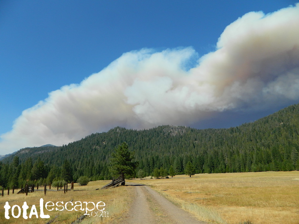
Dixie Fire @ Childs Meadow AUG 2021

MOUNTAIN MEADOWS are the perfect place to watch meteor showers! Bring your tarps, blankets, pillows and lounge chairs, plus plenty of snacks & drinks for the overnight adventure.
LagunaMdws
Laguna Mdws, Cleveland NF
inyohighroad
click to expand

Black Cowboy Parade

I do believe in black cowboys!

Black Cowboy Parade

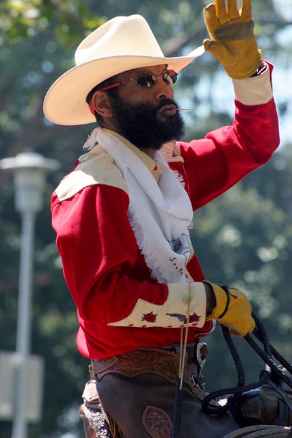
The Oakland Black Cowboy Association is best known for the Black Cowboy Parade & Festival, the only celebration of its kind in the U.S.A. This parade is held in memory of the black cowboys that helped to settle the American West.

Annual event; October
One day event

Oakland CA

blackcowboyassociation.org


califrepublic

Lake Henshaw

henshawabove

Lake Henshaw
North San Diego County

Lake Henshaw is next to Cleveland National Forest with Palomar Mountain State Park closeby. The northern border of Anza Borrego Desert State Park is not too far away either.

MAPS of this region –SAN DIEGO mountains map

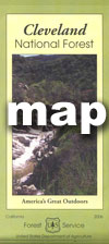
Cleveland National Forest USDA
Cleveland Forest Topo Atlas USDA
Anza Borrego Desert Map
San DiegoBackcountry Map
Agua Tibia Wilderness Map

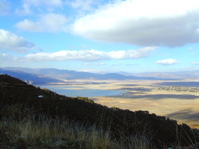
If you are imagining a forested alpine lake near Palomar Mountain, this is not it. Henshaw is a countryside area w/ meadow setting near ranches with open skies and open terrain. Can be windy at times! Can be hot in late summer.

Perfect remote spot for stargazing. Henshaw is the nearest body of water to Mount Palomar & is located on Hwy. 76, but the terrain is quite the contrast to the pine topped mountain nearby.

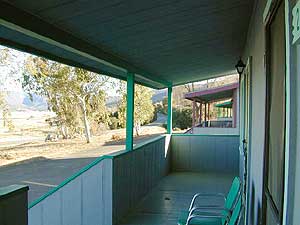
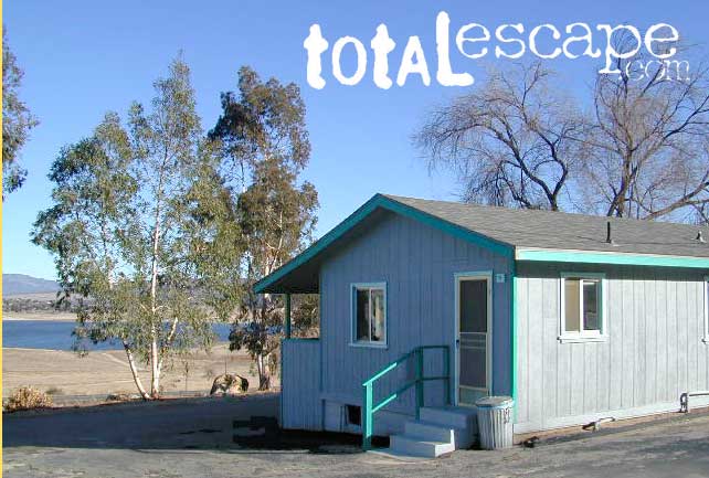
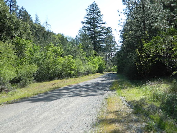
treebwTREES: Lake Henshaw has very few trees; mostly large open spaces & fields surrounding it. Cattle grazing & rolling hills w/ mountain backdrop. Stargazing and fishing cabins is more fitting of a description. This bare bones basic, little cabin resort offers a true get away from civilization for maximum relaxation close to SoCal cities.
Lake Henshaw specs:
elevation: 2740′
surface area: 1137 acres

Lake Henshaw Resort
760-782-3501
lakehenshawresort.com

Camping – 400 developed camp sites for tent and RV. swimming, picnicking, hiking, cabins, groceries

fishing:

  • trout
  • catfish
  • bluegill
  • bass
  • crappie

boating:

  • boat launch ramp
  • canoe
  • kayak
  • row boat
  • power boats
  • boat rentals available
  • inflatables
  • windsurfing

California Fishing Cabins SoCal

20N01- Mendo NF

20N01

Forest Road #20N01 – Mendo National Forest

Road 308 Ivory Mill Road. Located on the EAST SIDE of the coastal mountain range, west of Stony Gorge Reservoir.

South Fork of Elk Creek, California

Lodoga Stonyford Rd #306 – also known as just plain Stonyford Road, skirts the coastal foothills in a north south direction, on the east side of the range. Oaks and ranches, livestock grazing and fences everywhere. CHP out in force, so watch your speed (55). Public lands and forests are up the hill, above the valley, on the dirt roads. Free camping, off roading, hiking, creeks, lakes, mountains.

Drive up paved Road 308 passing the ranch lands and private properties.

Just inside the National Forest boundary, 308 peels off sharply to the left, uphill and steep, super sandy. The views over the valley, hills and reservoir are epic, but the dirt road is fluffy dry dirt, tight curves, no guardrails. A long and winding track, with very little spot to turn around. Maybe designated as OHV route?

This whole area is where the Ranch Fire of 2018 was burning; contained at road 308. The wildfire burnt half a million acres in Mendo NF (the largest fire in California history). Some of these roads may be closed off now. Call the rangers for current, up-to-date accessibility!

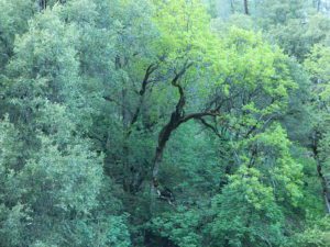
So… back at the National Forest boundary: Straight. Take the right fork instead, which goes straight into the forested canyon, up the creek. Elk Creek, south fork coming from the higher peaks above. This pleasant forest drive is called Mendocino Rd #20N01 and it climbs upward with hairpin turns; continues up to the top of the forested ridges @ 5000’+ elevation.

Forest Oaks Mendo

Wildflowers in Spring. Snow in winter. This back route may have been paved once in 1960, but it is nearly back to dirt again in most sections. Suitable for passenger car travel at slow speeds. Unless of course, it is raining or snowing, then 4WD may be best. And being that this is real Northern California territory, rain and snow are annual.

Campfires on the Back Roads
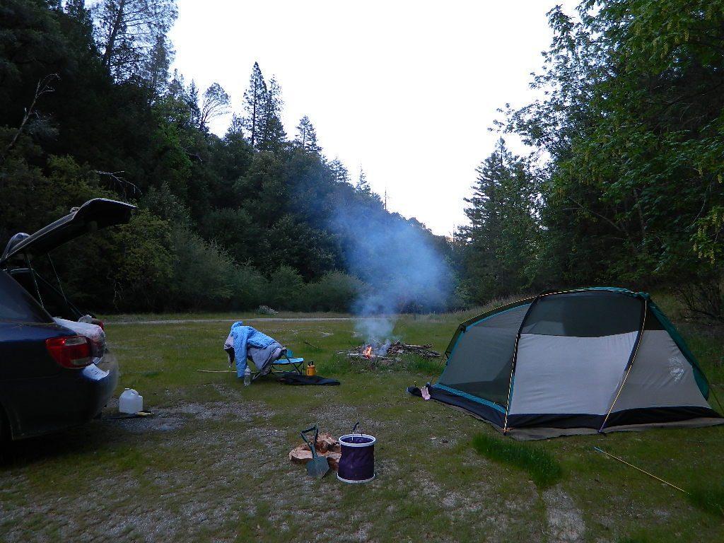
SPRINGTIME: Free Camps and Campfires on the Back Roads

Dispersed camping is allowed in this region with a valid fire permit.

Various camping spots near roadside, after mile 8. Reset trip meter when your turn off main drag (Lodoga Stonyford Road).

Mendo National Forest
Mendocino National Forest Map

Snow Mountains Wilderness
Fouts Springs

towns nearby:

Alder Springs
Elk Creek, CA
Stonyford
Williams, CA
Willows, CA

Map California Baja

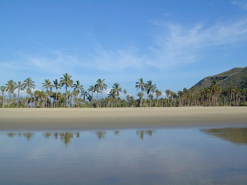
Secret Beaches
Secret Beaches of Baja

2003 Baja Map

Baja Topo Map

Topographic Maps of California Baja
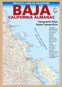
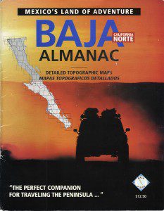
Baja California Almanac

BAJA MEXICO MAP

The mysterious topographic map maker, Landon Crumpton, is gone. Although his Baja Almanac book of the Mexican peninsula is still as popular as ever.

bajaalmaac

The Total Escape crew has been using this amazing topo map for Baja Mexico since our the very first excursions in 1990. Click below to read more about the famous, hard-to-find Baja Almanac publication.

  • Baja California Almanac
  • Topographic Map Book of Baja California

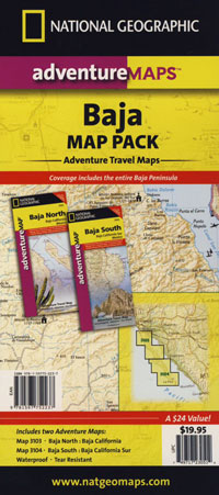
  • National Geographic Baja Maps
  • NatGeo Baja California Mexico Maps

    Baja California Maps

  • Find more Baja Maps
  • Obscure Books & Maps, AAA Maps of Baja

    Baja Snack

    Tejon California

    Tejon Pass / The Grapevine / Tejon Ranch

    tejon poppies

    Interstate 5 California (Kern & LA County)

    Tejon is the largest and oldest privately owned ranch land in California. It spans from the northern slopes of the great central valley to the tops of the oak sided mountains. The Tejon Pass 4144′ elevation, is Interstate 5. The golden state freeway zooms by connecting north Los Angeles to the Central Valley…. at 80mph. Watch for CHP near here. It’s easy to go down hill at 90 and not even realize it.

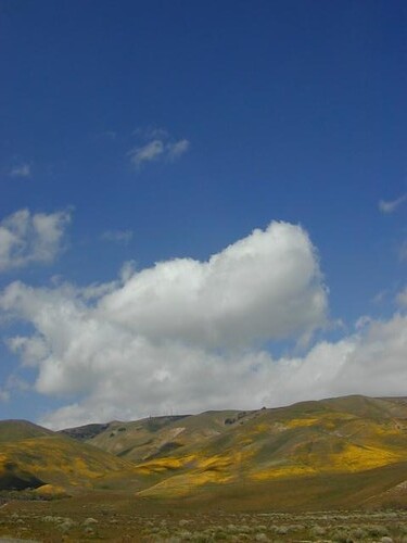
    The old portion of this mountain pass is known as the Historic Ridge Route, and many overgrown miles can still be traveled on the back road. Off road and motorbike trails join up with old sections of crumbling highway between Lake Castiac and Pyramid.  The artist Christo erected 1760 yellow umbrellas along these hillsides between Gorman and Tejon, back in 1991. Awesome wildflowers bloom throughout Tejon, Lebec to Gorman each spring from late March thru May.

    Angeles National Forest is on the east side of the freeway w/ Castiac Lake and Los PadresNational Forest is on the west side, with Pyramid Lake. Back roads camping and total seclusion is prime pickins in this region, if you have a decent map and are willing to drive a little

    Family campgrounds, RV astronomy sites, 4×4 camps on dirt roads, off road parks, walk in campground to alpine meadows, ridge line forest camps, backpacking, horsepacking, mountain biking, hiking. Numerous campgrounds can easily be found by driving 30 minutes from the “Frazier Park Mountain Road” exit off the freeway. Most folks aim for Mount Pinos, but the whole Los Padres forest is devine.

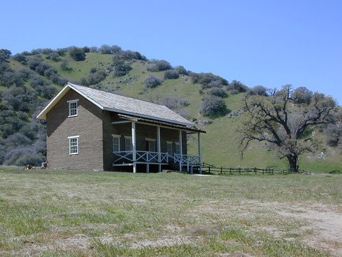
    The fort location was established by the U.S. Army in 1854 and was designed to protect Native Americans. Restored adobes and museum feature exhibits on military life and local history. They also hold living history events performed by volunteers in costume. The park has a number of 400 year-old valley oak trees. Mister Peter Lebeck was killed by a grizzly here and there is even a tree to prove it.

    Tejon photos

    Fort Tejon Uniforms

    Originally uploaded by danamight

    Tejon Industrial Complex: This is the first large scale development in a master planned laid out by the privately owned Tejon Ranch Corporation. Another trucker stop on the opposite side of the freeway is already underway. In-N-Out Burger, Starbucks, McDonalds, IKEA distribution center, gasoline @ the bottom of the Grapevine. 30 miles south of Bakersfield & just down the hill from Lebec.

    towns nearby –


    Angeles National Forest Map
    Angeles Forest Map
    Los Padres National Forest Map: South
    Los Padres Forest Map: South

    Gorman Gold

    Headed to Kern River ?

    KERN COUNTY RD 184 = LAVAL ROAD: Wheeler Ridge. This is your freeway exit northbound if you wanna bypass Bako city traffic, on the way to Lake Isabella & Kernville.

    Gas up in Lamont, it’s cheaper on the north end of town. Great little taco shops abound. Best bypass thru the farm belt to the Sierra Nevada.