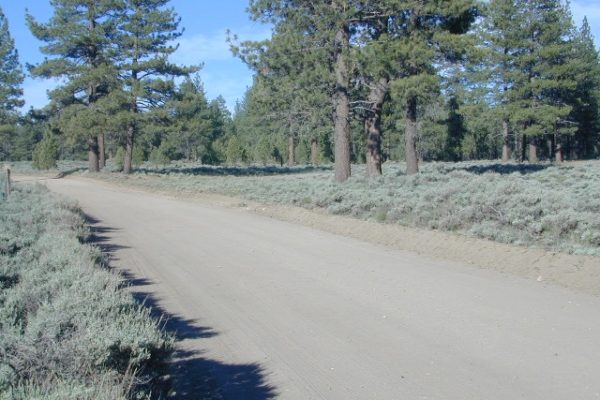
On the eastern mountain slopes of Big Bear Lake, Holcomb Creek creates a forested sage valley – called Holcomb Valley, located only a few miles away from the big lake. A graded dirt road leads out to this pine forest & a prime campground area. Perfect location for picnics and sightseeing.
Holcomb Valley Campground
@ Big Bear Lake
| campground | elev. | veg | toilet | water | comment | |
| Holcomb Valley |
7400′ | 19 | pines | vault | no | Road 3N16, open year round |
National Forest Campground in San Bernardino NF, located at higher elevations.
Although the developed campground is open all year long, please take into consideration that SNOW and mud is the norm for winter months.
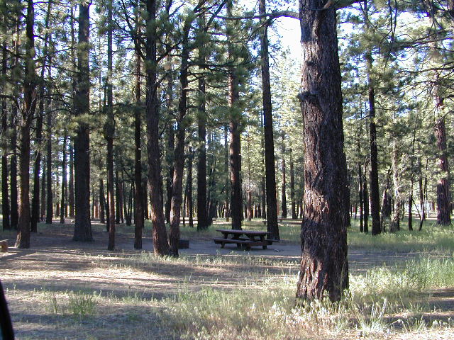
Nice shady sites to beat the summer heat. Camp spots spaced out fairly well. Hikers parking lot is located at one end of the campground. Bears are well known in the region, so please lock all food in the provided metal bear lockers.
- backpacking
- bouldering (rock climbing)
- camping
- cross country snow skiing
- hiking
- mountain biking
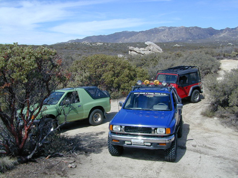
- off roading
- stargazing
- water recreation @ lake

The epic Pacific Crest Trail runs right through the Holcomb Valley. Doble Trail Camp is out this way for PCT parking, next to Holcomb Valley Road #3N16 which encircles this whole forested area inside San Bernardino National Forest.
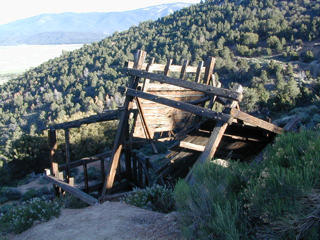
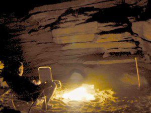
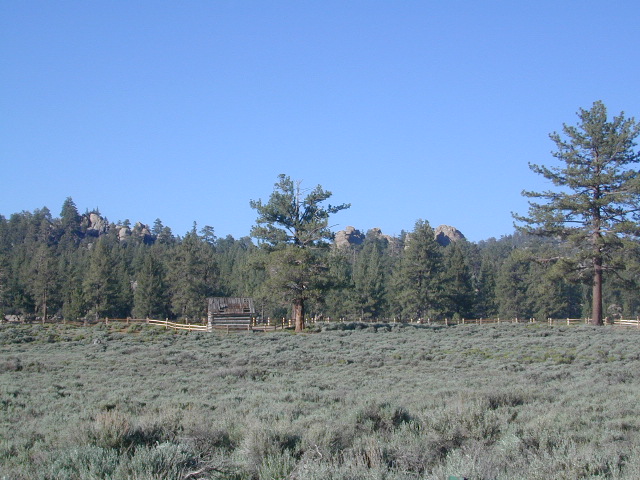 Holcomb Valley has a historic cabin to see. Numerous old mines exist around this area. Nearby Gold Mountain is a popular 4WD route.
The dirt back road leads east down to the high desert @ Highway 162. Down to Pioneertown and Yucca Valley, and eventually Joshua Tree National Park.
towns nearby –