Tag Archives: private

Walk-In Camp Sites

MIneral KIng Walkin Camps

Walk-In Camps

Below are developed campgrounds in California that have walk-in camp spots available. Vehicles are parked and you must carry your gear into the camp site (usually a short distance, but can be up to a half mile).

California Campgrounds with more than a 1-mile trek are not included in this list below. Areas such as – Catalina Island, Crystal Cove SP, Angel Island SP, Point Reyes National Seashore, indeed have many hike-to camps, but most are measured in miles (one way).

walk in campsites are perfect for –

  • people who wish not to see cars @ camp
  • people who prefer less noise while camping
  • physically fit folks, who want exercise
  • backpackers, who plan to hit the trails soon
  • avid hikers, who may be out day hiking
  • cyclists, just passing through
  • mountain bike campers
  • one nighters, travelers who only stay one night
  • late comers to the campground

    (hint: these are usually the last campsites to fill up)
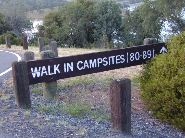
NewMelones WalkIn Camps

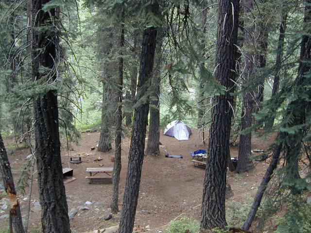
campWalk in campsites are often located away from car campers & RVs. Some camp sites may have more privacy, tucked away in trees, while others have shared community area with fire pits and/or barbecues. All camp sites will have picnic tables and a some kinda toilet nearby. Bear boxes may be available for storing food properly. Sharing these food storage boxes with neighboring campers is common practice.

Campgrounds with walk-in sites range in elevation from sea level marshlands to high altitude alpine lakes. Most of these camps listed below are located inside developed campgrounds with overnight fees. Many are small campgrounds, while others are large hubs of activity. Some may be smaller campgrounds, with just a few camp sites. The most popular places can be reserved, with the links provided.

Many parks can also have day use fees, so know where you park and what time span is allowed. Ask the campground host if needing assistance. Some campgrounds lock their gates at sunset and do not permit entry at night. Others may not allow campers to check in anytime after sundown. Know their rules before you make reservations.

hikerIf you plan on not making camp reservations; make sure to have a plan B or C choice camp – in case your desired campground is already full. Many popular destinations can fill up fast (by noon in the summer).
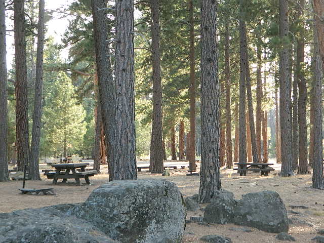
spacious camps
Spacious Camp @ Aspen Grove Campground, Eagle Lake, CA

Walk In Camps in California

hikes campmtb

Andrew Molera State Park, Beach access, North Big Sur Coast
Anthony Chabot Regional Park, East Bay San Francisco
Aspen Grove Campground, Eagle Lake, CA
Austin Creek SRA, Armstrong Redwoods, Guerneville CA
Azalea Cove Campground, Union Valley Reservoir

Bear Campground, North Angeles National Forest
Big Basin Redwoods State Park, Santa Cruz Mountains
Black Rock Campground, Little Grass Valley Reservoir
Blue Lake Campground, PG&E 4×4 @ i80 Donner Pass, Truckee, CA
Boise Creek Campground, Six River National Forest
Bottchers Gap Campground, North Big Sur Mountains
Butano State Park, Pescadero, Santa Cruz Mountains
Butler Creek Camp, Prairie Creek Redwood SP

Carr Campground, i80 Donner Pass, Truckee, CA
Cherry Hill Campground, Butte Creek, Lassen National Forest
Chilcoot Campground, Frenchman Lake, Plumas NF
China Camp State Park, SF @ San Pablo Bay, San Rafael
Chula Vista Campground @ Mount Pinos, Los Padres NF mtb
Clear Lake State Park, North Wine Country, Kelseyville CA
Cold Springs Campground
,
Mineral King @ Sequoia NP
Cool Springs CampgroundPG&E Camp, Butt Valley Reservoirhike
Cottonwood Pass / Cottonwood Lakes
on Horseshoe Meadow Rd, PCT Eastern Sierra @ Lone Pine

coolsprings

Dark Day Campground, New Bullards Bar Reservoir, N Sierra
Donner Memorial State Park, Interstate 80 @ Truckee CA

Dry Lagoon Walk-In, Humboldt Lagoons State Park
Dry Gulch Campground, Sierra NF @ El Portal
18 mi from Yosemite Valley

El Capitan State Beach, North Santa Barbara Coast

Gaviota State Park Campground, North Santa Barbara Coast
Glory Hole Campground @ New Melones Reservoir, Gold Co
Granite Flat Campground, Truckee River @ Lake Tahoe
Gualala Point Park, 6 sites @ Gualala River, Sonoma Co Park

Half Moon Bay State Beach Campground, Half Moon Bay

Headquarters Campground, Salton Sea SRA @ Mecca CA
Henry W Coe State Park, Santa Cruz Mountains
(wilderness permits required)

Horseshoe Meadow, Cottonwood Pass trailhead, Inyo NF

Intake Campground, Bishop Creek, Eastern Sierra

Jackson Flat Walk-In Camp PCT @ Angeles NF
Jedediah Smith Redwoods State Park Campground, NorCal
Julia Pfeiffer Burns State Park, Big Sur Coast

Kidd Lake Group Campground, PG&E @ i80 Donner Pass, Truckee, CA Kayak, canoe, hike-in camp sites

Kirby Cove @ Golden Gate National Recreation Area
5 tent camp sites on a bluff over the mouth of San Francisco Bay; reservations required

Klamath National Forest –
small campsites on a river

Lassen National Park – Southwest Campground 6700′ elev.
Liberty Glen Campground @ Lake Sonoma Recreation Area
Limekiln State Park Campground, Hwy 1 Big Sur Coastline
Lone Rock Campground @ Union Valley Reservoir

MacKerricher State Park Campground, Mendocino Coast
Macumber Reservoir,
PG&E Camp, West of Lassen NPfishing
Manresa State Beach Campground
, Monterey Bay
Marmot Rock Walk-In Camp, Courtright Reservoir
Mary Smith Campground
@ Lewiston Lake, Trinity River

McCabe Flat Campground BLM @ Merced River Yosemiteblm camps
Merced Recreation Area, Merced River, Mariposa CA
3 small, developed campgrounds on dirt road
Briceburg, Yosemite Hwy 140

Mesa Campground, Silverwood Lake SRA, Cajon Pass (I-15)
Mill Creek Campground @ Bucks Lake, Plumas NF
Mill Creek Campground, Del Norte Coast Redwoods SP
Montana de Oro State Park, Morro Bay, San Luis Obispo mtb
Mosquito Flat Trailhead Camp, One night limit! Camp is for backpackers heading into back country at the end of Rock Creek Road, Inyo NF hike

Niagra Creek Campground, OHV 4×4 trails, Stanislaus NF
North Battle Creek Reservoir
PG&E Camp, West of Lassen
North Grove Campground, Calaveras Big Trees State Park

Oak Bottom Campground

Oak Bottom Campground @ Whiskeytown Reservoir NRA
(*wildfire 2018)
Onion Valley CA

Onion Valley Campground, Eastern Sierra @ Independence, CAhike

Pantoll Campground, Mount Tamalpais State Park, Marin
Pfeiffer Big Sur State Park Campground, Big Sur Coast
Pigeon Flat Campground, Stanislaus River, Dardanelle CA
Pomo Canyon Walk-In Camp, Sonoma Coast State Beach
Portola Redwoods State Park, Santa Cruz Mountains
hikePrather Meadows Camp, Bunny Flat @ Mount Shasta
Providence Mountains SRA @ Mitchell Cavern, Mojave

Railroad Flat Campground BLM  @ Merced River
Briceburg Yosemite Hwy 140blm camps

Redwood National Park, NorCal Coast
(no reservations, no fees. open all year) NPS

  • Flint Ridge Walk-In
  • Nickel Creek Walk-In
chulavistacamp
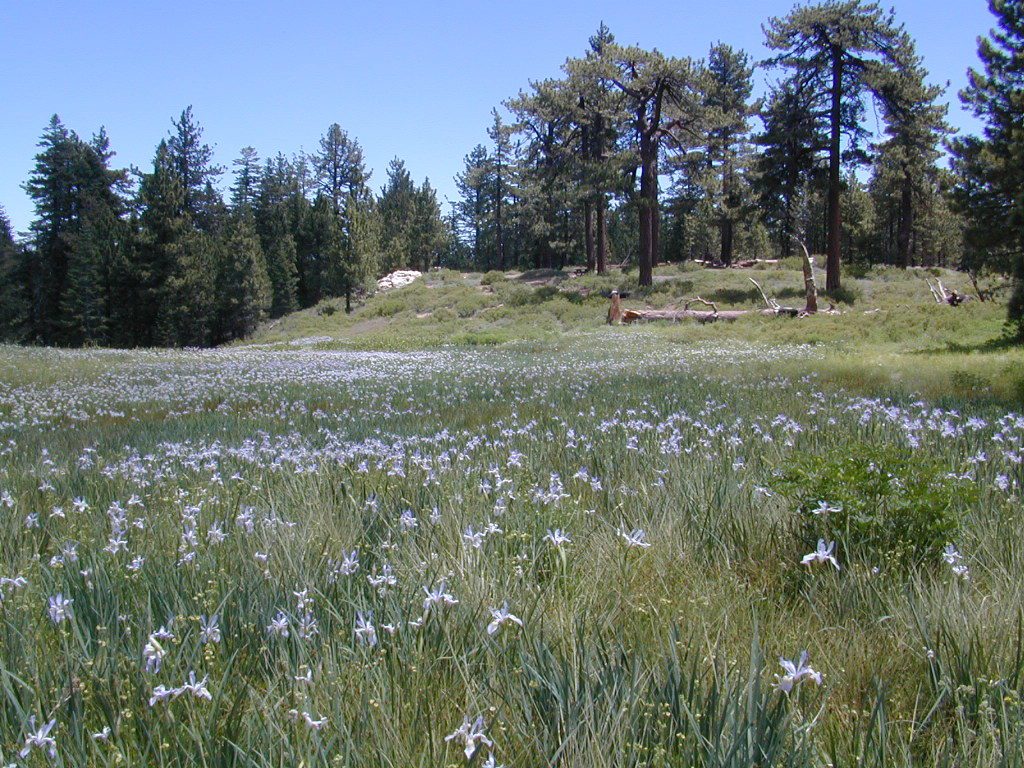
CHULA VISTA CAMPGROUND – Wild Iris Meadow at Mount Pinos

Refugio State Beach, North Santa Barbara Coast
Rock Creek Campground
, Eel River @ Standish-Hickey SRA
Roxie Peconom Campground, Bizz Johnson Trail, W Susanville mtb
Rucker Lake Campground, PG&E @ i80 Donner Pass, Truckee, CA
Russian Gulch State Park Campground, Mendocino Coast
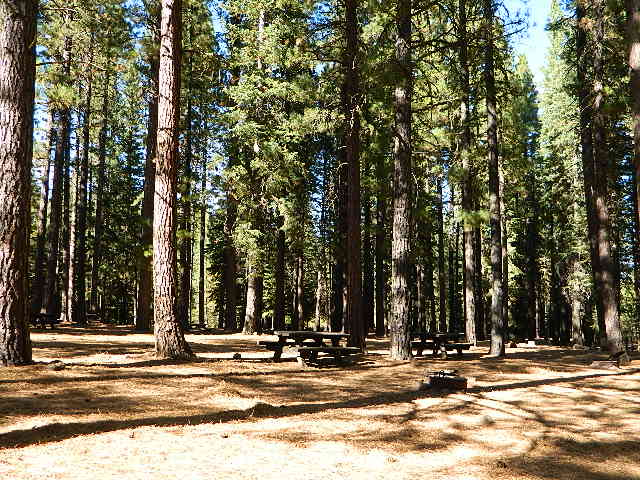
shadycamp
Roxie Peconom Susanville, CA

San Clemente State Beach, Orange County Coast
Sanborn Campground, Skyline County Park, Saratoga CA
Sand Flat Campground, Clark Fork, Carson Icerberg Wilderness
Sawmill Walk-In Campground, 9800′ elev @ Tioga Pass, E Yosemite
Silver Creek Campground, Truckee River @ Tahoe
Southfork Recreation Camp
, south shore @ Lake Isabella, CA

Southwest Walk-In Camp, 6700′ elev @ Lassen Volcanic NP
Squaw Leap Campground, San Joaquin River, Auberry CA
Stillwater Cove Regional Park, N of Fort Ross, Sonoma Coast

Table Mountain Group Camp, Bishop Creek Canyon, Inyo NF

Tahoe National Forest
Donner Area Camping Lakes

NFS 530-265-4531

  • Carr Lake Campground
    10 miles north of Highway 20
    6,700′ elev
    5 walk-in campsites
  • Rucker Lake Campground
    6 miles north of Highway 20
    5,462′ elev
    7 walk-in campsites
  • Sterling Lake Campground
    9 miles north of Interstate 80
    7,000′ elev
    6 walk-in campsites

Toad Lake Walk In Camp, PCT @ Shasta National Forest
Tuolumne Meadows Camp, Yosemite National Park
(reservations & wilderness permits required)

Union Reservoir Walk In Camps, Arnold CA

Union Valley Reservoir – Eldorado National Forest

  • Azalea Cove Campground
  • Fashoda Campground

Van Damme Redwoods State Park, Mendocino Coast

Walker Pass Campground, PCT, East of Lake Isabella CA
Whitney Portal Trailhead Camp, Mount Whitney, Eastern Sierra

Willow Placer Campground BLM, Merced River Recreation Area
Briceburg Yosemite Hwy 140
Woodside Campground, Salt Point State Park, Sonoma Coast
OnionValleyWalkIns

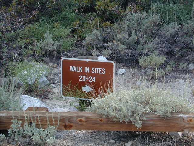
Walk in campgrounds are considered ‘tent camping‘, as opposed to ‘car camping‘, which is literally camping next to your vehicle. This type of hike-in camping may also be referred to as ‘trailhead camping‘, as many ideal hikes begin at these prime locations. Boat-in, bike-in or hike-in camp sites are also available at some of these locations.

Matilija Wilderness

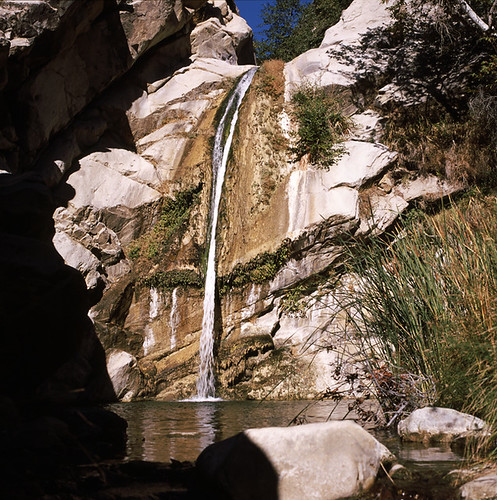
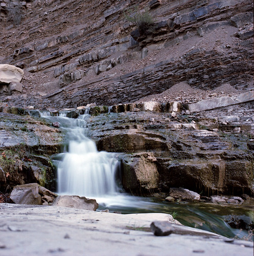
Upper Matilija Fall

Matilija Wilderness
Matilija Falls

Matilija Canyon
North of Ojai, California

Los Padres National Forest Map

Established 1992 by the Los Padres Condor Range & River Protection Act.

29,600 acres
Ojai, CA

Los Padres National Forest
Ojai Ranger District
805-646-4348

USDA web link – Matilija Wilderness

hikelospadres.com/matilija-wilderness

The coastal mountain range wilderness located approximately 12 miles north of Ojai, CA. Drive 5 miles N on Highway 33; left at the Matilija Canyon Road turn off.

Chaparral is the prevalent vegetation with poppies plentiful in springtime. Cottonwood, alder and maple trees dominate the canyon. One trail has trail campsites along it and follows 9 miles of the North Fork, gaining about 3,400′ feet in elevation as it makes a north-south journey, and leaving the Wilderness at a parking area on Cherry Creek Road. This road is open seasonally from Aug. 1 to Dec. 15

small water fall

This whole area burnt in a recent wildfire and much of it may be closed off to the public.

Matilija Canyon Trails & Trailheads

Landowner closes popular trail to Matilija Falls (2010)


View Larger Map

aaron climbing

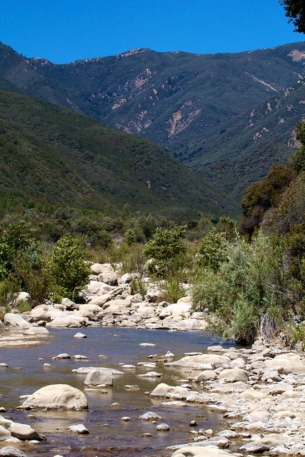
Matilija Creek Bed

Yellow Post Campsites

yellowpost


Yellow Post Camping

Yellow Stake Camp Sites / Back Roads Camping NFS
near Cajon Pass, Big Bear & Idyllwild CA

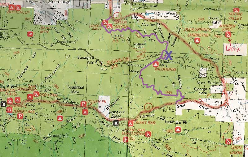
YELLOW POST CAMPS are dispersed camping sites on the back roads in Southern California, where fire danger is greatest. Forest authorities have designated certain spots as ‘fire safe’ for remote, open camping options around Big Bear Lake, Fawnskin and the Idyllwild mountain area.

If you prefer to stay out of the developed campgrounds, you will be the minority. But you must know how to read a map well to reach these beauties.

Map Big Bear

camping

SoCal camping doesn’t have to mean crowded campgrounds. Seek your seclusion on the dirt back roads, where there are no fees, minimal noises & a private site waiting just for you. These are usually on a first come, first serve basis. A high clearance vehicle (SUV, truck or 4×4) may be needed to reach some of the premium camp spots, but there are also sites accessible by passenger cars. And, of course, a fire permit is required.

HeartBar14

In the San Bernardino National Forest there are several back woods ‘fire safe’ camping spots, that are noted with a single yellow post & some may require reservations in busy summer months. You can find out more on reserving from the Big Bear Discovery Center, 909-382-2790

campfires bannedExtra caution should be used when winds are high, camp fires are often banned due to wildfire danger. Check with local rangers for up to date conditions and always get your campfire permit.

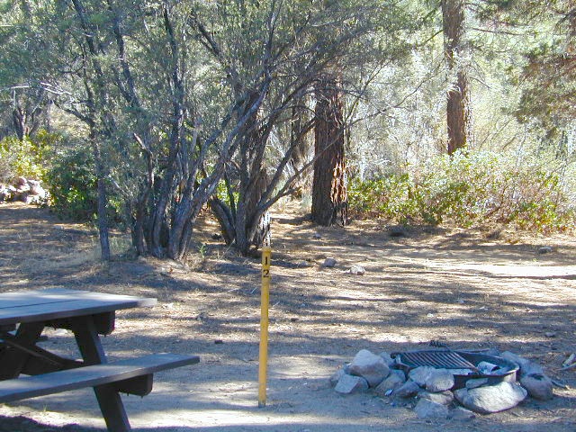
No restrooms, no water, no facilities. Just a dirt road, a fire ring & a single picnic table. Hopefully your table will not be shot up, by the local rednecks who ‘get off’ doing stupid stuff like this. Pick up any litter & leave the place better than your found it.

Yellow Post Camps

These backroad camps are perfect for the 4×4 group, stressed out social club, church group w/ rugged van, or the city SUVer who wants to get away from the crowds. The most sought after camp spots are nearest to the lake or a site accessible by RVs and horse trailers, but there are many more excellent camp sites to be discovered. USDA Forest Service Map is highly advised to reach these remote, dirt road camp areas. Rugged, steep, one lane dirt roads that lead to some of these spots. A passenger car is sometimes not suitable for all dirt roads. Rutted and steep means turn around. Wet weather changes dirt roads. Often routes close for winter w/ locked gates.

Big Bear Back Roads Camping

download PDF maps
on Big Bear Yellow Post Sites

Campsite7

Big Lots

Cajon Pass Camping near I-15

Idyllwild Dispersed Camping

thomas camp
Topo maps, Wilderness hiking maps, Equestrian trails, OHV maps –

Go Solo

Traveling Alone
Camping Solo

Sierra Hiking Path

it’s the way to go… slow & solo

enjoying quality time alone is not weird, wrong, or unnatural, no matter how many strange looks you get from friends & envious co-workers

Solo Outdoor Trips

Stop waiting for someone to do things with. Quit thinking that your best friend or partner will one day magically suggest an outdoorsy road trip, or day hike, or mountain bike ride. YOU are the one who craves the wildness of the earth, the unexplored, the secluded. The time is now for you to start living the life you want, outdoors, in California – today!

maybe it’s time to leave the city, for good

If you’ve just about had it with the pressures of everyday stresses, the wifi city life and the busy pace of civilized society is starting to get to you. Get a clue fast – before you loose your marbles. It’s time for much needed rest and relaxation. Nature is the best place to relax and reconnect with yourself and mother nature.

Looking to relocate to a more RURAL CALIFORNIA?

hiker

A change in scenery. A fresh perspective. A real break from the norm. No shopping, no errands, no phones, no television, no computers, nobody around. No one, except you.

and they might call you anti-social…

Travel Solo

alone, by yourself

away, distant, solely, detached, free, independent, unique, individually


The Call of the Wild

Unplug yourself from the hectic rat race and go exploring. Give yourself time to fully unwind: time to think, time to enjoy the outdoors and really find that special place of peace that comes only from earth. Yes, all by yourself.

VISION QUEST

Call it an annual primal ritual, or a first time experiment, traveling solo can be a blessing in disguise. Learning to be alone outdoors, become more aware of the physical world and enjoying yourself is an important key to a balanced life. Whether you seek a quick refresher course for the weekend or a full blown month long road trip, seeking a new comfortable destination and the art of basic relaxing is the main focus for this trip.

Camping Alone

slow going

When you travel alone, it’s easy to take your own sweet time. Going slow is something we don’t usually do in our busy city lives. Time is so precious, so you may as well stretch that vacation out as long as possible. Savor the moments.

Take as long as you like for – photography, picnicking, hiking, stretching, yoga, cooking and stargazing. Firewood collection becomes the biggest chore of the day, and it could take hours. Walking from camp, every direction will lead to a new adventure. Driving back roads at 20 mph is luxurious. No one to be your back seat driver. Sleep in every day if you want. No pressures, no schedules, no big worries. Sunlight, food, heat, weather, cooking and cleaning. Sit back and learn to really relax. Enjoy a secluded camp site for a full week, and get to know the wildlife on a first name basis.

Boy Camping

Follow the back roads to seclusion, or reserve several days at a unique campground. Imagine night after night of peaceful rest, with the sounds of nature surrounding you & the stars of the heavens dancing across the darkest skies.

Explore new terrain every day & move to a new camp every night. Or make it a “stay put” week-long meditation, in one spot. Whatever fits your needs. Either way, you’ll enjoy the solitude & the healing powers of nature. Answering to no one but yourself, you may feel guilty or kinda selfish the first few days, but this will fade as you learn to embrace the solo journey.

And it doesn’t hafta be all about roughin it either. While backpacking into the almighty wilds of the true wilderness has its good points – along with life threatening dangers possible every day, a simple quick weekend trip to a nearby small inn, fishing lodge,  or a bed & breakfast could work for the pampered types. Choose something different and unique, yet know your own limitations (on comfort & on a physical level). Make sure your destination choice is surrounded by some nature and preferably wilderness.

You won’t miss the television one bit!


Spend One Full Day a Week Outside in Nature

Good California Maps are a must have! Don’t rely on digital cell service or count on online maps being readily available. The hard-copy versions are always the best back up plan. Old paper maps are the very best, cuz they can often show more hidden waterfalls, trails and old mines than the newer maps.

National Forest maps are best for getting and staying away from the tourist crowds. Visit Destinations to decide what kinda place you wanna explore this season.

AtoZsmalltowns

California has it all – A to Z

which is why the golden state population always seems to be increasing, right? Helping you get away from your normal routine and the masses is what we do best here at Total Escape. Discover thousands of pages, photos and links on this site to create your very own unique retreat.

The mountains, deserts, coastal, rolling oak countryside & even urban escape inside city villages, are perfect starting points for planning your little escape. Desert Retreats California

Desert camping in autumn, winter and springtime months is perfect timing for any kinda soul searching, catching up on a good book, or just gazing out at the vast vistas. Meteor showers fall within the latter part of the year, so stargazing and camping is excellent with the new moon. Temps start to drop come September, so be warned. Mountain cabins drop to their off season rates after summer, but be prepared for chilly temps and get proper outdoor gear.

camping destinations
lakes in calif
California State Parks
hiking trails
BLM camping
back roads
usda nfs
mountains of California
California National Parks
stargazer
desert in cali

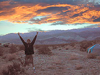
Desert Sunsets in Winter

SAFETY TIPS: Give your schedule to someone. Any bit of info is helpful. A map or written itinerary given to a neighbor or close friend will help ensure your safety and timely return. Bring your cell phone, plenty maps, bear mace, a firearm and emergency supplies for additional security.

California Mountain Maps

The Mountains of California

Camping El Dorado NF, on the Consumnes River

If you know you wanna head up in elevation, higher altitudes – to the pine forests of California, but have no clue where to start, this page may be very helpful in determining your ultimate destination. We have hundreds of pages on adventures & locations throughout the golden state. We sell all California maps for outdoor recreation, hiking topos to off road routes.

Wanna camp under the stars this weekend – and avoid the crowds too? You will need a good back road map to find this awesome camp site, guaranteed. Need a hammock spot, small swimming hole & total seclusion? Or how about a large family camp w/ Sequoia grove nearby? Total Escape has something for every ones budget & lifestyle. See below for an extensive breakdown of California mountain regions.

#1
SoCal mountains have tighter restrictions on campfires, larger number of people camping in a smaller amount of space, minimal primitive camping options in the forests, more fees to access these lands.

#2
The Sierra Nevada mountains are the prime outdoor destination for many in the Central California region. High elevations w/ granite slabs to lower country reservoirs & riverside oak flats. Folks come from all over the world to visit parks and lakes within this mountain range. Indeed, 4 National Parks call the Sierras home: Lassen, Yosemite, Kings Canyon and Sequoia NP – not to mention the 10 National Forest and 15+ Wilderness Areas.

#3
You want big water? Cabins next to a prime fishing river or camping near lakes, creeks with dense forests, then you will have to drive to the mid Sierra or even NorCal to find ’em.

Wilderness maps

California Mountain Regions Defined –
find the details on specific region for California mountains

saabaru_forest
Mountain Home Sequoias

epic finds

Find little known parks, camps and forests within our vast California BACK ROADS data base. Below is a small sampling of our picturesque mountain pages, where you can find the best seclusion: hiking, camping, fishing, mountain biking trails, rivers, creeks and peaks.

NFSlogo

Sierra Buttes
The Sierra Buttes, Northern Sierra near Gold Lake

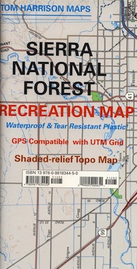
sierra National Forest map

Outdoor Recreation Maps of California:

inyohighroad
Inyo high roads, of the Eastern Sierra


4×4 Off Roading


Off Roading Moab Utah

Originally uploaded by danamight


4×4 offroad

When people hear the phrase “off road” a hundred things can come to mind. Granola types envision rednecks, guns & beer cans tearing up the wilderness; while teen boys may like dirt bikes or motocross races; your co-worker digs the rock crawling rigs (on TV); your lesbian pals like to do desert & ghost town exploring in their Jeep & a million families like to camp out with RV & toys in tow. The quads, the sand rails, the rock crawling machines, the custom built buggies. Trophy trucks, rally racing Subies, 4WD camper vans, dirt bikes, the standard stock SUV, some w/ 4-wheel drive and who can forget the ever-freaking-popular jeaps. Sunday drivers sightseeing or hard core dare devil racers can be found in the realm of off-road: Off pavement.

They are ALL off roaders! And they are all unique, custom & no two created equal. There is certainty of it & the passionate fans will tell you. The off roading interest has gained popularity as more & more recreation vehicles become available to the main stream market. And TV shows promote these awesome rigs, the sport of dirt racing, rock crawling & the fantastic terrain. (And if you still watch television, that will soon change!)

Baby boomers seek retirement vacations: compact 4WD camper vans, or smaller RVs capable of trailering an off-road machine; Fathers look for ways to entertain family out of doors, or escape on solo trips (for sanity sake). The off-road sport and interest has literally exploded over the past 20 years w/ media, hobby, competitions & after market products – along with the rising gas & tire prices.

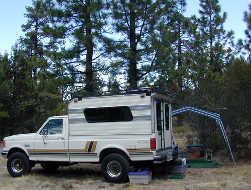
4x4 Ford Camper at a Big Bear Campout
4×4 Ford Camper at a Big Bear Campout

California dirt road heaven

Wheeling

California Back Roads
WHERE TO START?

Plan better trips, learn to really read a topographic map, depart for your trip over-prepared and find new, amazing destinations all over California. Use Total Escape often and get a bumper sticker for your rig!

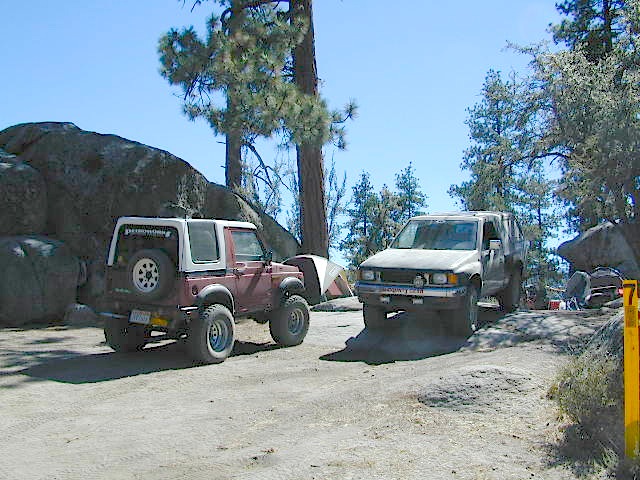
Many folks drive dirt roads just to get to a trailhead and go hiking, mountain biking or rock climbing. Many backpackers trailheads are indeed located miles off pavement on forest dirt roads.

Some outdoor enthusiasts crave seclusion: peace and quite, away from city life, city folks, all noise… well away from the crowds. Preferring to camp outside of developed campgrounds, which means free camping (mostly on dirt roads). Campfire permits are always required. Many excellent, hidden camp sites can be found on rugged, unpaved back roads – some requiring 4 wheel drive, others not.

Gear Heads: those who value ‘vehicle time’ over ‘real nature’ will literally SIT inside their rigs (almost all day) – enjoying scenery from a safe distance. Picnic spot, viewpoint, yes, but rarely ever seeking out a hike, or a waterfall. Should a break-down occur, these dedicated guys will have their heads under the hoods or crawling underneath, for hours if needbe. Always be prepared with food in the cooler.

Tent Campers
And believe it or not, some off-roaders will not even tent camp! They do not sleep on the ground. They prefer a local lodge in the nearest small town or they could own a luxury RV (towing a trailer w/ the overbuilt Jeep). Talk about gas guzlers.

Now, where are those green buggies?

Forest Roads
Backcountry routes may be signed – high clearance needed, or not. Black diamond, double diamond trail. Yikes 4×4 required, what! Did we miss a sign or take a wrong turn?

SIGNS are not always reliable on the back roads.
Small Signs: get shot at, run over, blown over and washed away with erosion
… so best have a hard copy map (at all times).

California dirt road heaven

In Trinity, locals have been known to remove forest road signs to confuse tourists and prevent traffic in certain directions. I can’t imagine why. Cough, cough, Hyampom!

PVT – private property

This brings us to private ROADS & LAND. Just because a dirt road is located in a forest or rural region doesn’t mean it is open to the public. Generally private lands are well marked w/ ‘No Trespassing’ notices, some fenced and gated. In Baja and in ranching areas in general, public access may be allowed to pass through. Inquire at a local ranger stations for the area you wish to explore.

Do Not Litter

Litter removal 101 should be the norm; Don’t Trash California! Teach your children well. Respect the land and always Tread Lightly! Find more about ECO – CAMPING

TreadLightly

Quatal Canyon Red Dirt Road

smoketreewashes

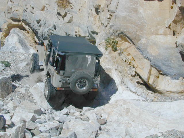
jeepinpanamint

Dumont Dunes OHV Desert Death Valley
Dumont Dunes OHV / Desert Death Valley Xmas Trip

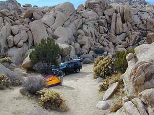
Perfect Tent Spot

Boulder Cove Camping

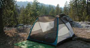
Choosing your Perfect Tent Spot

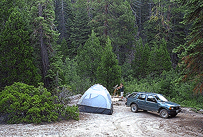
Before you can choose the ultimate place for your tent, you must decide where it is you wanna sleep OUTDOORS. What ultimate location? Your destination can play a huge factor in you getting a peaceful nights rest. And do you really need a campground? Or, are you ready to try to rough it, without the amenities? Best camping is off-the-beaten-path, and usually on the back roads. Trailhead camps, 4×4 camps, best view camps, creek camps; Dispersed camping, often called primitive camping. Focusing here on car camping, tent camping and backpacking routes.

Sierra Granite ViewsJust choosing a flat tent spot isn’t good enough anymore. You crave the best camping experience and seek real nature, with minimal crowds. No annoying neighbors, no parking hassles, no traffic or cars passing by. We at Total Escape are here to help you get to your wilderness goals and experience nature like never before. Right here, right now and it doesn’t hafta cost you a dime.

California Camping Destination:

Let’s start with a terrain overview. California has it all ­ – mountains, deserts, coastal, rolling oaks with rivers in the countryside, plus the infamous wine country and developed campgrounds within city limits. Desert camping in summer months should only be attempted by the experienced camper who loves 90+ temperatures. Mountain camping in winter can be freezing, so make sure you have the proper gear. Good maps are a must have and the readily available National Forest maps are your best avenue for getting and staying away from the masses. Visit our Destinations page to decide what kinda place you wanna ‘call home for the weekend’.

topo mapsIf you are the “I don’t care where I sleep kinda guy, as long as I can do/see this many things” all crammed into a 3-day holiday weekend, then you best do your research ahead of time. Get a good map, measure the mileage, plan picnic stops and sightseeing. Plan to set camp in a central location close to the main highway to call home-base, so you can be off exploring as much as possible.

Schedule in some “down time” or a full day for relaxing. Calculate driving distances and pad it w/ an extra hour. Maybe make a campground reservation if you are visiting a National Park or busy State Park. If you plan to wing it without reservation, always have plan B or plan C  options already picked out. With millions of residents and tourists on the west coast, chances are you won’t be the only person wanting to do Big Sur, Yosemite or Point Reyes that particular weekend.

camp

Helpful Hints
for a Good Nights Sleep @ the Camp Site

  • Bring a decent Sleeping Pad. Air Mattress with the inflator pumps will be the most luxury, without sleeping directly on the hard ground. Therm A Rest sleeping pads are another fine option, for those who like to travel light and still have air underneath them. Extra blankets, always.
  • Flat & Soft ground is the goal in choosing the best tent spot. Park your vehicles over the rocky slanted ground and keep the best flat areas for your camp site.
  • Do not pitch a tent in a meadow, no matter how inviting it looks. Wetlands and meadows are fragile ecosystems, an area that should be protected.
  • Look at the big trees above your sleeping spot and examine them. Do not place your tent near or underneath a dead tree or a dead limb. Trees do break and fall, especially if winds pick up. This could be a life or death choice, so remember to look up.
  • Bring abundant good tent stakes and USE them. Yellow plastic stakes are for soft cedar and sand. Thin aluminum stakes are for backpackers. Large steel nail stakes (some w/ plastic tips) are best stakes for all-around terrain.
  • Bring a mallet to pound stakes or use big rocks to hammer them. Gloves are also a good idea!
  • Never underestimate the use of a big tarp and some rope.
  • Guy lines help hold a tent in place when windy weather turns to big storm. If wind is in the forecast, then do this task before you head out on your day hike away from camp.
  • Make sure selected tent site is flat. Lay on the ground to check it out.
  • Place head of bedding up hill (if any slant can be noticed)
  • Tents should be at least 10 feet away from your campfire. At least 100 feet away from a creek or lakeshore.
  • Beach camping at the ocean edge; Know the high tide mark; place tent accordingly.
  • Slot canyons are awesome, sandy, narrow washes, many with cliffs and caves. In the desert badlands these can become raging rivers w/ flash floods. When rain is heavy in the mountains many miles away, you could get flooded in the low lands. If you hear any thunder – RUN to high ground. Better off picking another camp site, than to die by a wall of water!
  • Shade in the Desert sounds like an oxymoron, unless you find a place with high cliffs, or slot canyons. Tamarisk trees and palm canyon locations are usually an oasis of RV tourists & travelers. Hot Springs are also busy spots. Pinyon pines, juniper and over-sized manzanita can be found in higher elevation deserts above 1000′. The prime desert camping season is generally October thru March, as April can easily soar close to 90 degrees high.
camp

Campgrounds listed individually on
California town pages A to Z

campfires

morning sunshine

Late Nighters & Sunrise:
Determining East & the North Star

reading the stars

Sequoia NF - The Den

Campground vs. Dispersed Camping:

Follow Dirt Roads
Some people swear by the open spaces and back road camping options, as they have more seclusion, plenty privacy and best off all, no campground fees. You might need a GPS and a high clearance SUV to reach some of these camp spots, but you will be blessed with a unique secret spot to call your own.

Campgrounds come in all styles these days: From small primitive camps on a creek to the luxurious RV resorts with laundry room and showers. And then there is everything in between. This web site Total Escape specializes in FREE camping on the back roads and the smallest of campgrounds.

Reservations are usually accepted at the most popular camp locations, many are wide open on weekdays and the majority of campsites overall are available on a first come, first serve basis.

Dispersed Camping Sequoia

bone creek

Sequoia maps

Open Camping in Sequoia National Forest – Forest Road Camping

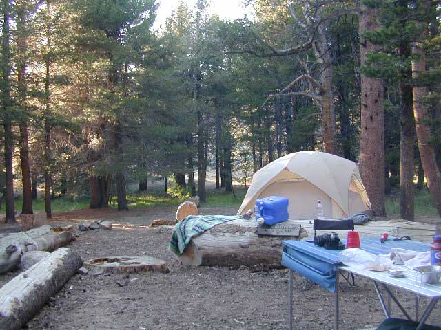
Seeking secluded campsites? This is one of the best areas to camp in pine forest w/ privacy, relatively close to Southern California. Plenty of primitive car camping on the dirt roads throughout this whole Sequoia & Kern River area.

nfs primitive back roads mountain biking hiking mountains

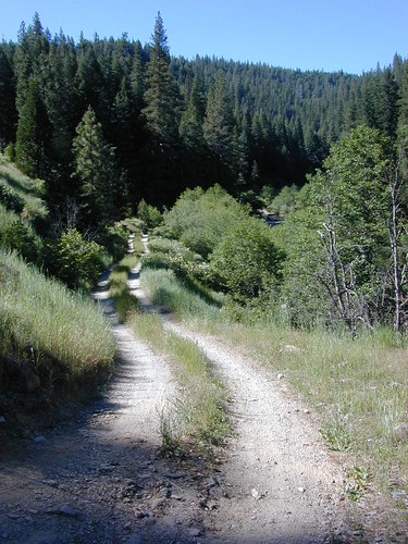
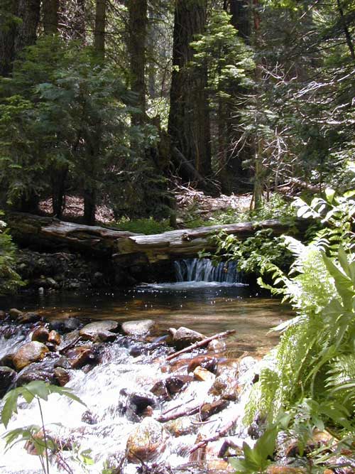
No facilities. No picnic tables, no toilet, no fees. Just a rock campfire ring & a clearing. Previously used sites have already been established usually near streams. Try to use these first, if at all possible. It takes a bit of exploring but you will find the perfect spot. Don’t even attempt to try to find these kinds of camp spots at night. They are often buried deep in the forest with no visible markers what-so-ever. But in trade, you will be lulled to sleep by your own private mini waterfall & no RV generators. Many of these back roads are closed & gated during winter months due to snow & rock slides.

No amenities are available in this neck of the woods, but plenty of seclusion & wilderness. Check official Wilderness rules for proper knowledge of the area restrictions. You must get a free camp fire permit from the ranger station in order to build a fire outside of a developed campground. A large shovel, plus bucket w/ water are a bare minimum for the privilege of camping like this. Certain dry seasons (summers into autumn) have very strict camp fire restrictions. Check with the ranger to see the latest on building campfires on the back roads. camping

A Sequoia Forest Service Map is highly advised for this area. There are so many dirt roads for dispersed primitive camping on the back roads. Due to weather & erosion, some roads may require 4×4 or high clearance, so come prepared with a plan B.

Camping Checklist to make sure you’ll have what you need. The drive up from the Los Angeles area averages 3-4 hours and is well worth the trip. Once you’ve found that perfect spot, take detailed note of it, for the next time you visit the area. Then, you will be able to get there easily in the middle of the night, if need be.

Backroad Camping Sequoia: Follow the forest road numbers with your Sequoia map to discover amazing back road camping options. Your own private stream or meadow. Secluded campsites with your own mini waterfall.
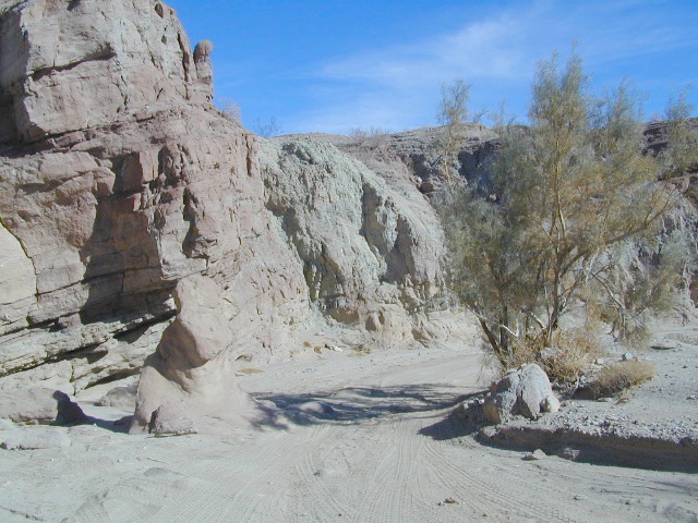
overview

see also –
Sequoia Campground Camping

monache mdw

Long Valley Campground

Secluded Camp Sites

Long Valley Campground BLM

Southern Sierra Nevada
secluded camp, fishing & hiking trails
(free campground, open all year long)

South Fork of Kern River & DomeLand Wilderness

20+ miles from the nearest paved road; a remote camp on Long Valley Loop Road, off Canebrake Road. Both are dirt roads: high clearance vehicle recommended!

High Desert meets the Sierra Mountains

Back in the dry pinyon hills east of Kernville, beyond Sherman’s Pass; high above the Mojave desert and north of Canebrake & Highway 178. Long dirt roads, remote campground w/ fishing & hiking trails. Wilderness access.
hiking fishing trails horse trails back roads back roads sierra mountains

Chimney Peak Back Country Byway
Canebrake, California

These dirt back roads listed above skirt the edge of Dome Land Wilderness & Sequoia National Forest winding through BLM Land bordering the Mojave. The byway networks recreation areas between Kennedy Meadows and Canebrake, east of Lake Isabella. Eastern Kern County, California.

backpacking
camping
fishing
hiking
horseback trails
mountain biking
rock climbing
stargazing
wildflowers

Trailheads Domeland

People come way out here for the seclusion – the peace & the quiet. Mid-week you can have the whole place to yourself. Abundant hiking trails & fishing access. Into the Dome Land Wilderness you will find incredible scenery and diverse terrain – giant granite domes, waterfall canyons, and the South Fork of the Kern River (3 mi hike to river). PCTThe infamous Pacific Crest Trail passes close to Long Valley Campground, but Chimney Creek Campground is much closer to the PCT.
BLM Camping

Long Valley Campground

• Elevation: 5200′
• Number of Sites: 13
• Vehicle Accessibility: High Clearance Vehicle
• Facilities: picnic tables, fire rings, vault toilet
• Campsites Reservation: No
• Camp Fee: None
• Length of Stay: 14 Days
• Season: Open all year
• Operated by: BLM
• Trailheads: S. Fork Kern River & Domeland Wilderness

Bureau of Land Management
BLM Bakersfield Field Office
661-391-6000
Find a BLM page w/ map & info

Recent Domeland Wild Fires:
Manter Fire (2000)
McNally Fire (2002)

Long Valley Loop
Long Valley Loop Road (2001)

2016 NOTE: The part of the LOOP of Long Valley Loop Road that connects this campground to Kennedy Meadows (to the north) is CLOSED due to a huge washout. The Long Valley campground is accessible from the south side, from Hwy 178 @ Canebrake – and requires many miles of dirt road driving. High clearance vehicles are recommended; 4×4 needed in wet weather or snow.

towns nearby:

CANEBRAKE
KENNEDY MEADOWS
KERNVILLE
LAKE ISABELLA
MOJAVE

High Desert Sagebrush
High Desert Sagebrush & Dirt Roads
Wildfire Burn
Manter Wildfire Burn Area (2001)

Faucherie Lake

Faucherie Kayak Camp

Faucherie Lake California

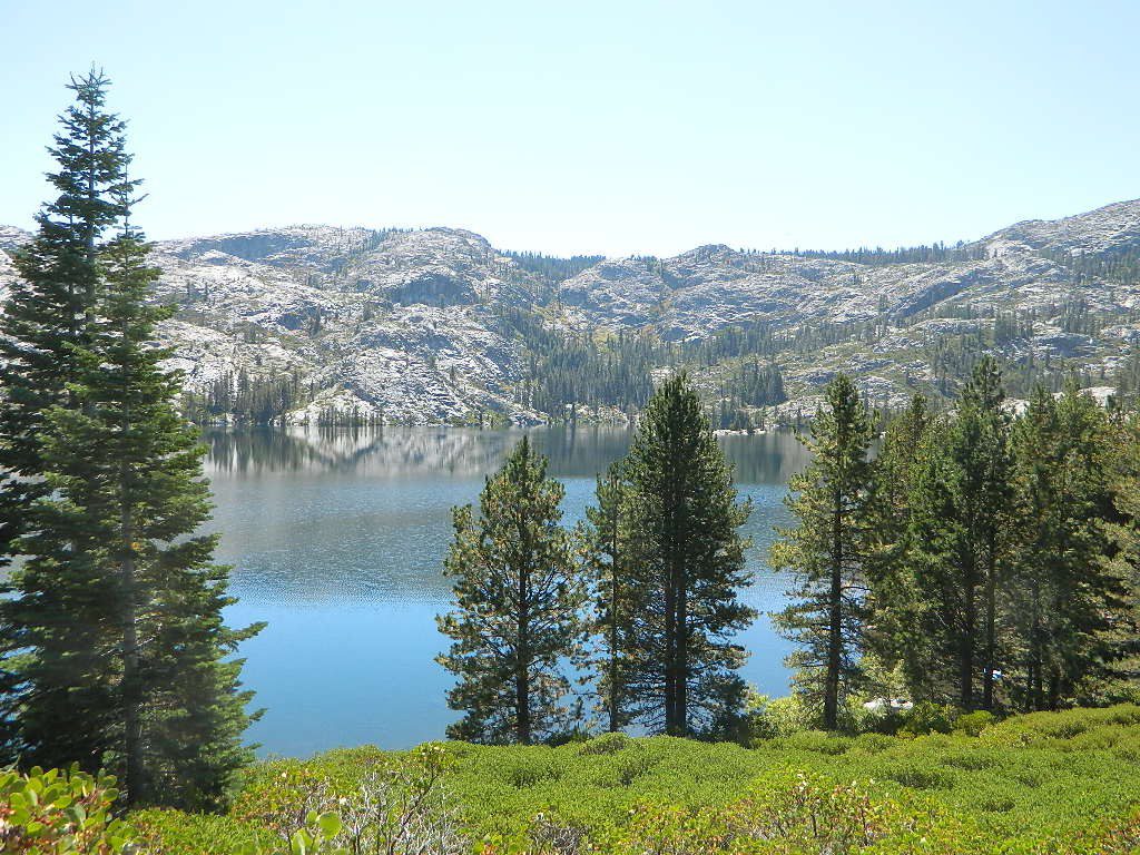
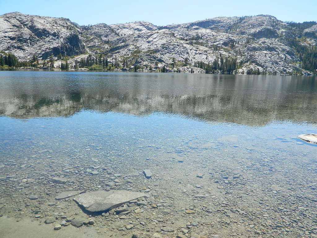
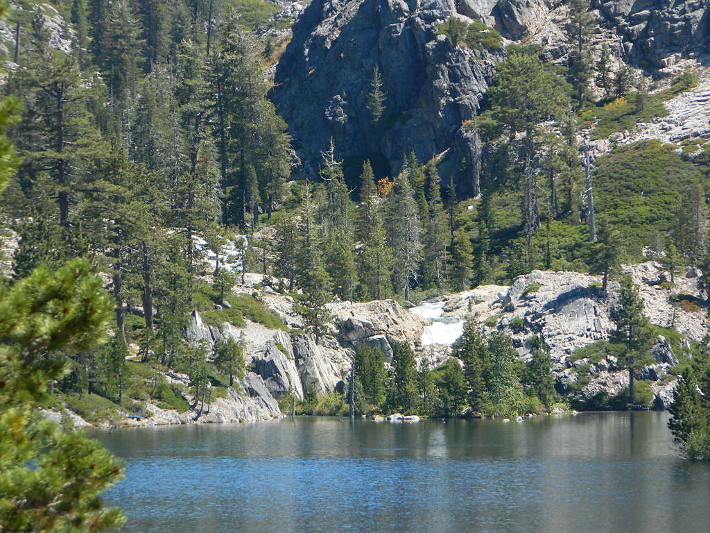
Lake Faucherie is set in spectacular scenery of granite mountains, with peaks and waterfalls all around. Many believe that you could only reach this kinda high elevation beauty by foot, with a backpack, but here it is – accessible by a very long, rough & rocky backroad.

No motorhomes, no camper trailers, no motorboats, no engine noises on the lake, no big families. Just well-deserved solitude, finally. Peace and quiet!

Perfect alpine lake for car-top boaters – those who carry their boats on top of a vehicle. But be warned very few ‘passenger cars’ make it back this far, due to the challenging roads.

BACKPACKING, CAMPING, CANOEING, FISHING, FLOATING, HIKING, KAYAKING, OFF-ROADING, SOAKING, STARGAZING, SWIMMING

No motorized boats or watercraft allowed. One public boat ramp; gravel parking area, vault toilets, gated entry for group campground. No more driving across dam (it is now gated).

NFS NFS NFS kayak camp hiking mountains NFS backroads snowmelt stars

Faucherie Lake Road – a spur road, off of the ‘843 Road’ leads up to both Sawmill & Faucherie Lakes, as well as the Canyon Creek Campground.

This primitive road forks off at Jackson Creek Campground, Tahoe NF, way, way back behind Bowman Lake. The rugged route is also known as Nevada County Rd #843-037. Conflicting numbers appear on USDA web site for this route, so don’t get confused.

The brown Forest Service signage is decent at Jackson Creek Campground – so if you get that far, you’re almost there. Sorta. Did I mention how crazy the road is? Any wet weather or snow will make this route “4×4 required”. This place is closed off about half the year, due to deep snow (NOV-MAY). Although on summer weekends, this area is busy for a remote high Sierra lakes region.

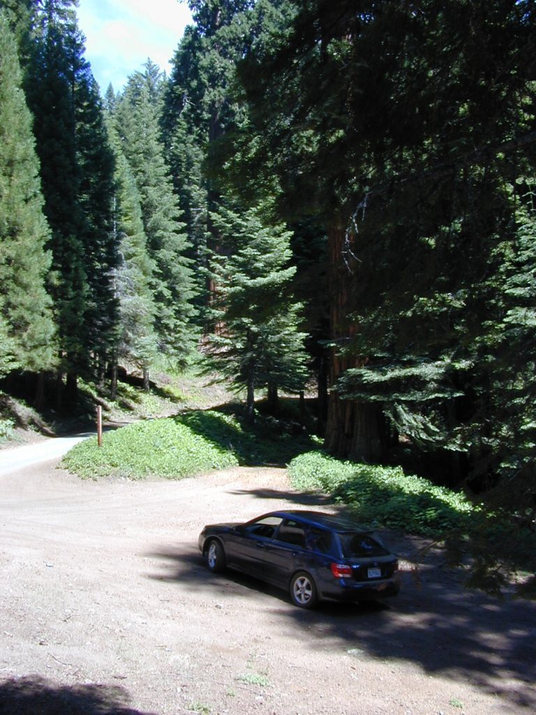
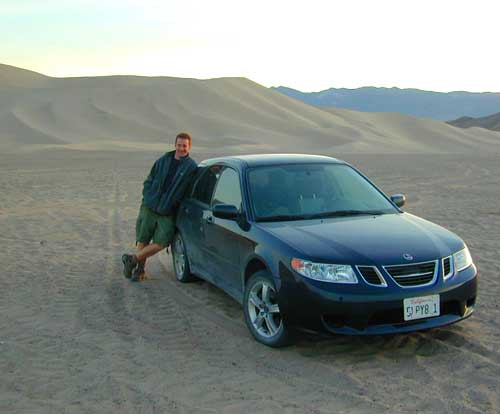
To reach this rugged Canyon Creek takes hours of driving with a good backcountry map and a reliable, high clearance rig. AWD Subies and mini SUVs beware, you’ll need a spotter on the bad sections of this road (or risk serious oil pan damage). Or perhaps maybe, we “shouldn’t be back on these kinda roads in that ‘lil sportwagon’ missy.”

See more details on driving directions for Canyon Creek Campground.

Crystal Clear Faucherie

Faucherie Lake Group Campground
(25 people maximum per site)

• Elevation: 6135′
• Number of Sites: 2
• Vehicle Access: High Clearance Vehicle, no trailers
• Campsites Reservation: Yes
• Camp Fee: Yes
• Season: June – October
• Trailheads: Faucherie Lake Falls, Five Lakes Basin, French Lake, Haystack Mountain

camp
Faucherie Group Camping

Campground Reservations:
Nevada Irrigation District
530-265-5302

incoming flow

Faucherie Falls – Six waterfalls above lake:
Upper Faucherie Lake Falls #1: 39.4257 N, 120.5616 W
Upper Faucherie Lake Falls #2: 39.4257 N, 120.5606 W
Upper Faucherie Lake Falls #3: 39.4262 N, 120.5568 W
Upper Faucherie Lake Falls #4: 39.4268 N, 120.5550 W
Upper Faucherie Lake Falls #5: 39.4270 N, 120.5544 W
Upper Faucherie Lake Falls #6: 39.4272 N, 120.5538 W
USGS Topo: English Mountain

Granite Faucherie