Tag Archives: S2

Vallecito – Anza Borrego

Vallecito Park, San Diego Desert

Anza Borrego Desert

Great Overland Stagecoach Route of 1849

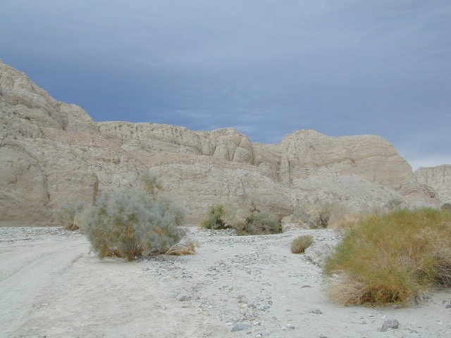
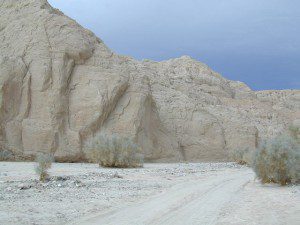
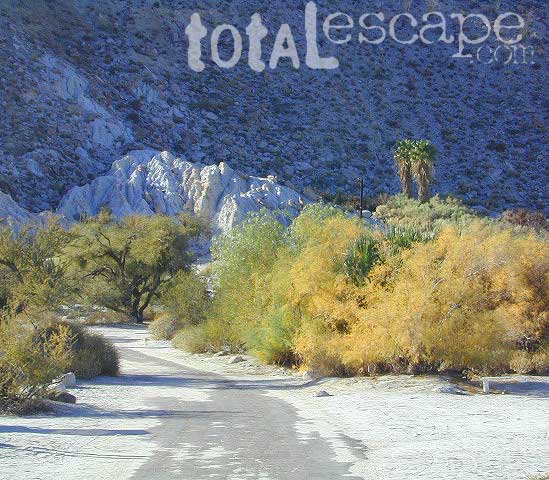
East San Diego County Road S2 winds thru the lower passes & washes of Anza Borrego Desert State Park. On the edge of the State Park boundary Vallecito is a small campground & park, but it was a stage coach route in the 1800’s.

California Historic Marker #304
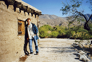
Vallecito

VALLECITO STAGE STOP – A 1934 reconstruction of Vallecito Stage Station (originally built in 1852) on the eastern slopes of the mountains in the high desert. A super important stop on the first official transcontinental route, serving ‘The Jackass Mail‘, the Butterfield Overland Stage Line, and the southern emigrant caravans.

backpacking, birdwatching, camping, cycling, hiking, mountain biking, off roading, stargazing, wildflowers

camp


Vallecito Campground
elev. 1555′
camp sites: 44
overnight fee
first come, first serve
reservations accepted
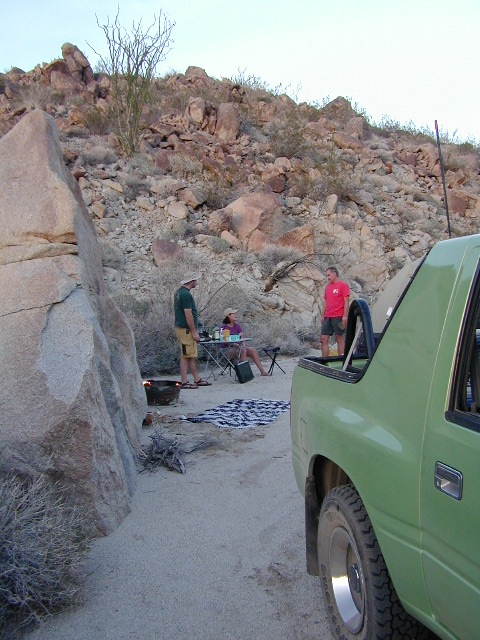
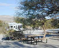
Campfire pits, picnic tables, bathrooms, & historic buildings; 22 sites are tents only. RV 40′ limit; Additional 8 equestrian campsites w/ corrals. No RV hookups, no dump station. No piped water. No gasoline, no store, no amenities. No firewood, no collecting of firewood. No shade trees, just tall desert brush. Arrive adequately prepared for real desert roughin it.

RV

Vallecito Stage Station County Park
760-765-1188
37349 Great Southern Overland Stage Route
County Road S2 @ mile marker 34.7
About 3.5 mi NW of Agua Caliente Hot Springs

Closed during the hottest months of summer: JUNE-AUG. Open seasonally: Labor Day weekend through the fall, winter and spring, up until the last week in May. 

camptruck

see also – Oriflamme Canyon / Mason Valley Truck Trail
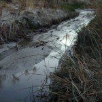
muck to stagecoachA neighboring and very rural stage coach stop is further down a long wash, to the south east. Getting there usually requires 4×4, since you must ford a muddy desert wash w/ creek & deep holes. There are no signs out in this sandy desert wash, so you best have a good map and a compass.

The Old Carrizo Stage Station site is accessible by 4 different dirt roads (desert washes) way off the paved highway. None of these are well signed at the highway: Vallecito Creek, Willow Creek near Mountain Palm Springs, Carrizo Creek near Bow Willow, and Canyon sin Nombre.

Agua Caliente, Bow Willow Campground, Canebrake, Sweeney Pass,  the badlands overlook, mud caves and slot canyons are all located south of Vallecito. California SR 78 and Blair Valley are north of Vallecito.
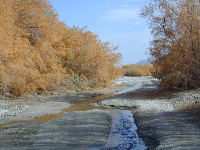
Vallecito Creek

San Diego Desert MapVallecito is located at the apex of the gap in the Carrizo Badlands created by Carrizo Creek and its wash in its lower reach, to which Vallecito Creek is a tributary. Once a seasonal village of the native Kumeyaay people, on a trail across the desert from the Colorado River, this oasis, became a crucial stopping place for Spanish and then Mexican travelers to recover from the desert crossing between Sonora and New Mexico to California. The non native settlement of the site began in 1850, as a camp with a one room sod warehouse as the U.S. Army Depot Vallecito for the supply of Fort Yuma. It was later increased in size and became a store, a stage station, and a ranch house. read more on wiki

find maps for this desert region –

Anza Borrego Desert Map

San Diego Backcountry Map

Cleveland National Forest Atlas

dark skies anza

califrepublic

Another Vallecito, California?

Yep! Small community of about 400 folks in the western Sierra Nevada  foothills. Gold Rush Country, mining region. Up off the Historic 49 and it used to be called Murphy’s Old Diggings.

see Gold Country Maps

Great Overland Stagecoach Route of 1849

Canon Sin Nombre
Sunset view of Canon Sin Nombre

San Diego County Road S-2

Great Overland Stagecoach Route of 1849Canon Sin Nombre
San Diego County Rd S2
San Diego County Highway S2

The awesome southern California desert, a stretch of road that traverses north-south direction on the west side Anza Borrego Desert; from Interstate 8 up to to Lake Henshaw @ San Felipe Road. Driving north you gain elevation from sandy badlands into the mountains, but trees are few and far off. Exit I-8 at 400′ elevation above sea level and gradually climb to 3000′ – over near Lake Henshaw & Palomar Mountain.

San Diego Road S-2 is about 50 miles long, through very scenic desert with interesting vegetation and paved the whole way. Perfect for RV travelers, as it has many camping options – from freebie, primitive camp spots to private campground resorts. Palm canyon hide-aways, secret shady spots, endless hiking canyons, and a campground with hot springs.

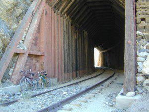
Carrizo Gorge TrestleS2 Road intersects California SR 78 at Scissors Crossing and continues north through the barren San Felipe Hills. The Southern California portion of the Pacific Crest Trail parallels the ridge line on the east side, with the town of Borrego Springs lying behind that ridge at 590′ elevation. The historic mountain town of Julian sits in the hills above Banner Grade (Hwy 78).

California Historical Landmarks, along S2

# 304 VALLECITO STAGE DEPOT
# 472 BOX CANYON (Anza Borrego Desert)
# 639 PALM SPRINGS (Anza Borrego Desert)
# 647 BUTTERFIELD OVERLAND MAIL ROUTE
# 793 SAN FELIPE VALLEY AND STAGE STATION

points of interest along this route:

California Interstate 8
Ocotillo, CA
Yuha Desert
Fossil Shell Canyon (BLM)
Anza Borrego Desert State Park
Mortero Canyon
Dos Cabezas
Carrizo Gorge Wilderness
Carrizo Palms
Carrizo Gorge Railroad Trestle
Carrizo Badlands & Overlook
Canon Sin Nombre
Coyote Mountains Wilderness
THSDmapHollywood & Vine
Fish Creek Wash
Old Carrizo Stage Station
Sweeney Pass
Bow Willow Campground
Canebrake
Agua Caliente Hot Springs
Vallecito County Park
Oriflamme Canyon
Box Canyon Stagecoach Route
Blair Valley
Ghost Mountain
Vallecito Mountains
Pinyon Mountains
Earthquake Valley
Shelter Valley
Scissors Crossing (@ Hwy 78)
Volcan Mountains Wilderness Preserve
San Felipe Creek
PCT – Pacific Crest Trail


View Larger Map

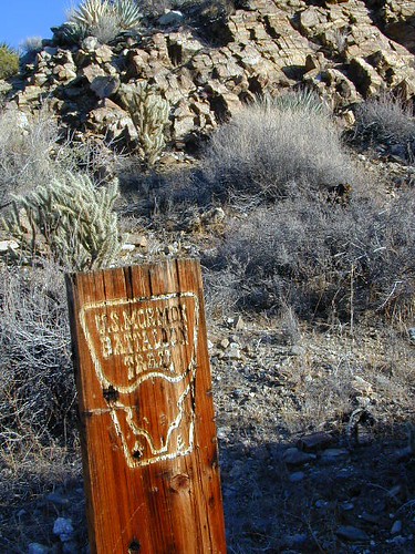
Antique signs still on trail (2001)

Smile Cheps

Oriflamme Canyon Anza

San Diego Picnic

Picnics San Diego – Picnic Area San Diego

IBbeach


picnics

CITY & BAYS & BEACHES:

  • Balboa Park, San Diego – 5 square miles of beautiful city park with lots of gardens
  • Bayview Park, Coronado Island – Small city neighborhood park with great view of downtown skyline
  • Silver Strand State Beach near IB or Imperial Beach, S of Coronado
  • Harbor Island Park, near San Diego airport – facing SD Bay with views of downtown skyline
  • Shelter Island, near San Diego airport – facing SD Bay with views of downtown skyline
  • Mission Bay Park, San Diego, CA – maze of bay front parks & trails; picnic areas, bonfire pits, bike trails & playgrounds
  • Soledad Park, La Jolla, CA – small neighborhood park atop a Mount Soledad, great views of county & ocean
  • Presidio Park, San Diego Mission – park like setting surrounding mission w/ gardens & trees
  • Tidelands Park, Coronado Island – large park with great view of bay, bridge & downtown skyline
  • Mission Trails Park – Mission Gorge – SD river & historic dam, hiking, biking trails
  • Sunset Cliffs, Point Loma – sit on cliff edge or take stairway to beach
  • Torrey Pines Cliffs, Del Mar, CA

San Diego picnic parks

laguna mountains
View east from Laguna Mountain PIcnicgrounds

BACK COUNTRY MOUNTAINS & DESERTS:

vcampoutpinyonwsh

Maps Mountains / San Diego Maps

Agua Caliente Hot Springs

Agua Caliente Springs

Agua Caliente County Park
Agua Caliente Anza Borrego Desert
Agua Caliente Hot Springs

East San Diego County
N of Ocotillo, CA

Anza Borrego Desert MapAgua Caliente Hot Springs County Park is a remote 910-acre San Diego County Park next to the Anza Borrego Desert. A developed hot springs, picnic area & a large campground. This desert destination is perfect for California winter recreation, offering a small air strip for small plane pilots.

Located North of Interstate 8 on San Diego Road S-2 on the south end of Anza-Borrego Desert State Park. Local mountain’s seismic forces created the fault that runs beneath this region & forces water up to tRV campground Anzahe desert surface. A decent water supply also supports plant life & wildlife.
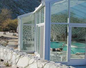
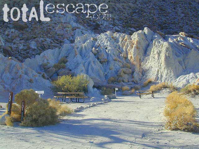
For minimal crowds AVOID THIS PLACE on holiday weekends or peak winter months. Spring & Autumn are excellent times to visit here, but watch the weather forecast for any heat waves. Who wants to soak when it’s 100 degrees outside?

2 natural hot mineral pools:

  • large outdoor pool is kept at natural 96 degrees
  • glass walled indoor pool is heated & has bubbling jets
  • spring-fed, warm showers are available
  • hiking trails, horseshoe & shuffleboard

Indoor Pool

Agua Caliente Campground

140 campsites – tent sites & RV hookups w/ dump station. Shady trees only at some camp sites. Indoor pool, outdoor pools, maybe a hike-in primitive tub too. Individual campsites may be reserved up to 12 weeks in advance 858-565-3600

  • Anza Borrego Desert Map
  • San Diego Backcountry Map

  • View Larger Map

    Anza Borrego Hot Springs
    Several nice camp spots line this canyon on the north side.