Vallecito Park, San Diego Desert
Anza Borrego Desert
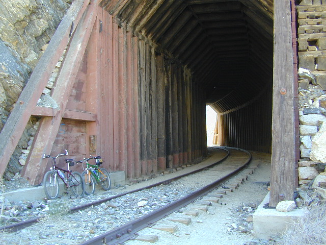
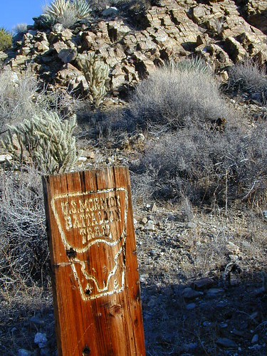
Great Overland Stagecoach Route of 1849
East San Diego County Road S2 winds thru the lower passes & washes of Anza Borrego Desert State Park. On the edge of the State Park boundary Vallecito is a small campground & park, but it was a stage coach route in the 1800’s.
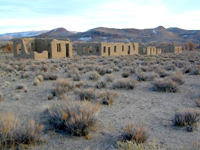
California Historic Marker #304
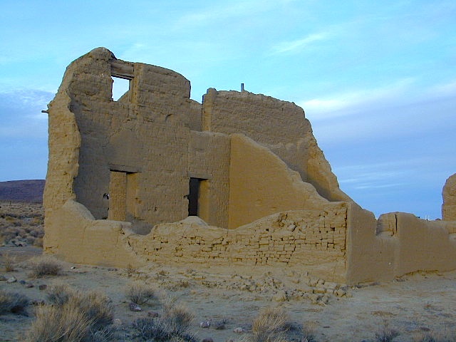
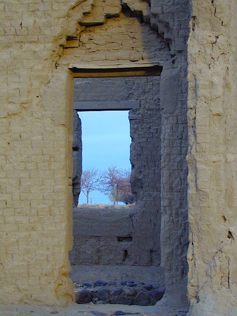
VALLECITO STAGE STOP – A 1934 reconstruction of Vallecito Stage Station (originally built in 1852) on the eastern slopes of the mountains in the high desert. A super important stop on the first official transcontinental route, serving ‘The Jackass Mail‘, the Butterfield Overland Stage Line, and the southern emigrant caravans.
backpacking, birdwatching, camping, cycling, hiking, mountain biking, off roading, stargazing, wildflowers

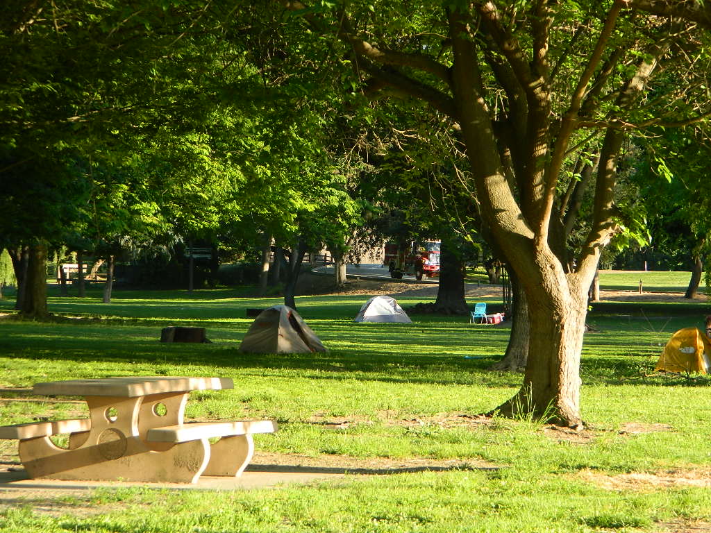
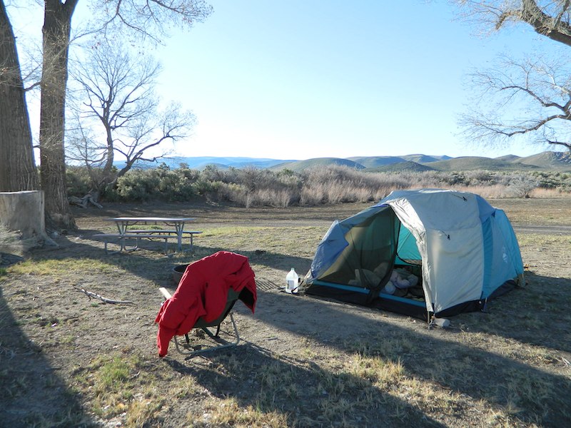
Vallecito Campground
elev. 1555′
camp sites: 44
overnight fee
first come, first serve
reservations accepted
Campfire pits, picnic tables, bathrooms, & historic buildings; 22 sites are tents only. RV 40′ limit; Additional 8 equestrian campsites w/ corrals. No RV hookups, no dump station. No piped water. No gasoline, no store, no amenities. No firewood, no collecting of firewood. No shade trees, just tall desert brush. Arrive adequately prepared for real desert roughin it.

Vallecito Stage Station County Park
760-765-1188
37349 Great Southern Overland Stage Route
County Road S2 @ mile marker 34.7
About 3.5 mi NW of Agua Caliente Hot Springs
Closed during the hottest months of summer: JUNE-AUG. Open seasonally: Labor Day weekend through the fall, winter and spring, up until the last week in May.

see also – Oriflamme Canyon / Mason Valley Truck Trail
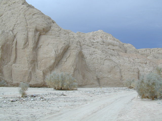
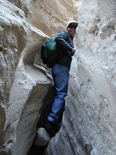
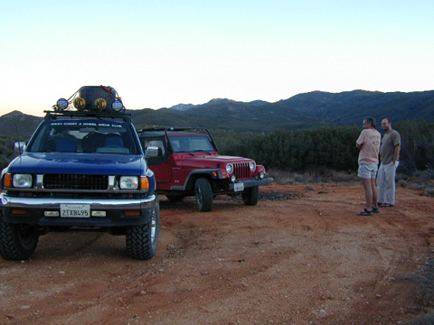
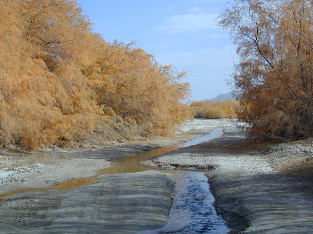
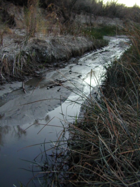 A neighboring and very rural stage coach stop is further down a long wash, to the south east. Getting there usually requires 4×4, since you must ford a muddy desert wash w/ creek & deep holes. There are no signs out in this sandy desert wash, so you best have a good map and a compass.
The Old Carrizo Stage Station site is accessible by 4 different dirt roads (desert washes) way off the paved highway. None of these are well signed at the highway: Vallecito Creek, Willow Creek near Mountain Palm Springs, Carrizo Creek near Bow Willow, and Canyon sin Nombre.
Agua Caliente, Bow Willow Campground, Canebrake, Sweeney Pass, the badlands overlook, mud caves and slot canyons are all located south of Vallecito. California SR 78 and Blair Valley are north of Vallecito.
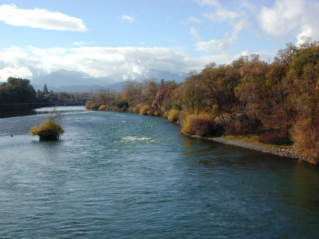
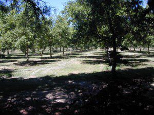
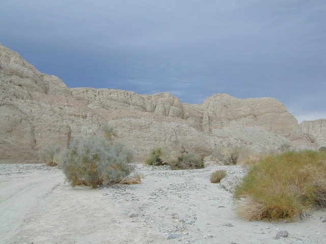
 Vallecito is located at the apex of the gap in the Carrizo Badlands created by Carrizo Creek and its wash in its lower reach, to which Vallecito Creek is a tributary. Once a seasonal village of the native Kumeyaay people, on a trail across the desert from the Colorado River, this oasis, became a crucial stopping place for Spanish and then Mexican travelers to recover from the desert crossing between Sonora and New Mexico to California. The non native settlement of the site began in 1850, as a camp with a one room sod warehouse as the U.S. Army Depot Vallecito for the supply of Fort Yuma. It was later increased in size and became a store, a stage station, and a ranch house. read more on wiki
find maps for this desert region –
Cleveland National Forest Atlas

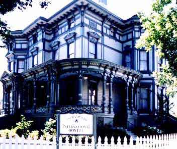
Another Vallecito, California?
Yep! Small community of about 400 folks in the western Sierra Nevada foothills. Gold Rush Country, mining region. Up off the Historic 49 and it used to be called Murphy’s Old Diggings.