Tag Archives: Truckee

Free Campgrounds Sierra

Granite Creek

Free Campgrounds in the Sierra Nevada Mountains, California

no charge camp, no fee camping, free campgrounds

No fee camping: Bare bones. California Sierra Campgrounds without the fee.

NFSlogo
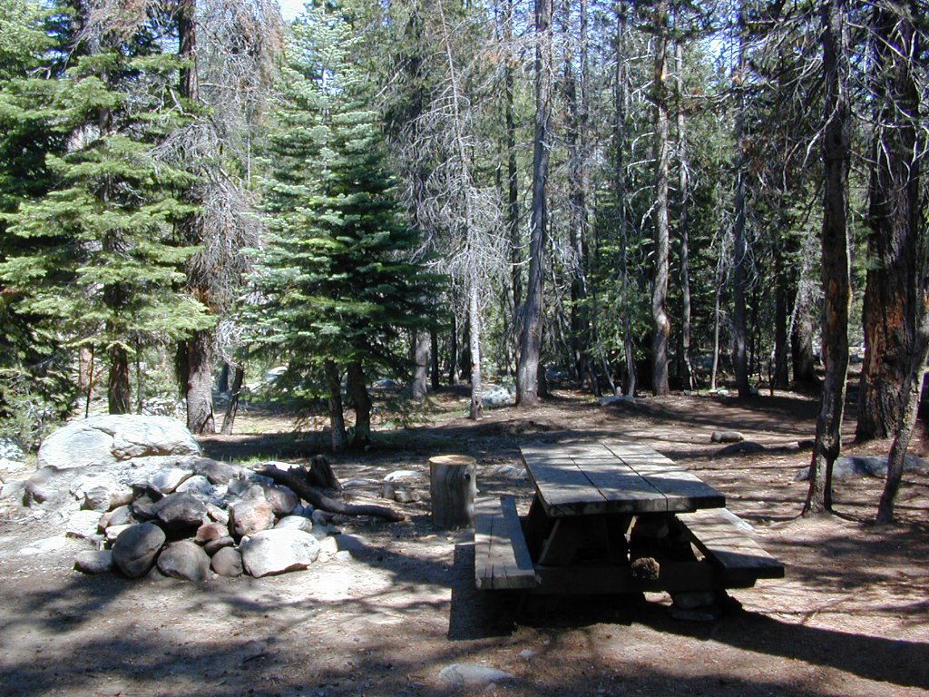
Developed BLM or NFS campgrounds, where you can still have a campfire. Vault toilets, panic tables and fire rings. Use bear boxes when provided for proper food storage.

secluded campgrounds

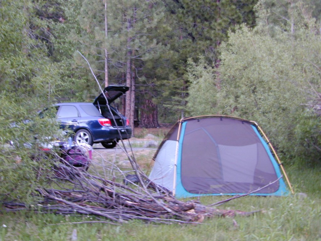
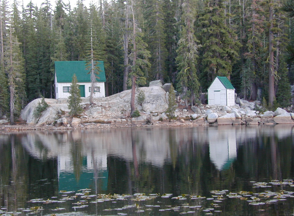
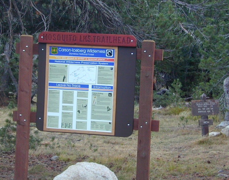
Below is a good long list of some favorite free developed campgrounds in the Sierras. Many will require dirt road driving, as most are located well of the highway. Perhaps the 12 mile rough road will thin out the crowds. Free overnight stay!

2020 update: this list is shrinking, as more California National Forests start charging for the smallest of campgrounds. 

campfirePack in your drinking water and pack out your trash. Campfire permits are not required at developed campgrounds; but a bringing a water bucket and shovel is necessary for tending your campfire. Piped water is not always available, or perhaps, not in working order at these primitive style camps. Be prepared to rough it a little.

Sierra National Forest – Central Sierra

Mammoth Pool Areacamptruck

Granite Creek Camp
Granite Creek Campground

Redinger Lake lakeboatramp
open all year long; no campfires

Redinger Campground

Courtright Reservoirlake
no-fee OHV

Voyager Rock 4×4 Camping

4x4

Huntington Lakelake
no-fee OHV

West Kaiser Camp 4×4

Kaiser Pass Roadlake
no-fee camping

Dinkey Creek Roadlake

Sawmill Flat Campground

Kings River Campgroundfish
free river camping

mosquito_lake
Mosquito Lakes @ Ebbetts Pass Hwy 4

Stanislaus National Forest – Central Sierra

Highway 4 – Ebbetts Passhiker

mosquitoTH

Highway 108 – Sonora Pass

Hwy 120 – West of Yosemite NPcamp
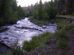
Tuolumne Wild & Scenic River

Eldorado National Forest – Central Sierra

Tahoe National Forest – Northern Sierra

creekcanyon
Canyon Creek, Tahoe NF

Highway 89 – Truckeehiker

Interstate 80 – Donner Pass

French Meadows Reservoircanoe

campsite snag lake
Snag Lake (free) Camping on Gold Lake Highway

Plumas National Forest –  Northern Sierra

Brady’s Campcamptruck
NFS Campground
West of Quincy, CA
Highway 70

breckensign

Sequoia National Forest – Southern Sierra

Breckenridge Campground
Forest Rd# 28S06
South of Kern Rivertree_stainglass

Giant Sequoia Area

Kings River Area

Mill Flat Kings River
Mill Flat @ Kings River
campground mill creek
Kings River Camping

see alsoWalk-In Campsites


Sawmill Lake Sierra

primitive camp spots

Sawmill Lake, California


N of Donner Pass, Sierra Nevada

elevation 5800′Canyon Creek connects Lake Faucherie, Sawmill Lake and Bowman Reservoir in the Sierra, Tahoe National Forest. 20+ miles of backroad travel, off I-80.

While many consider Faucherie to be the most beautiful scenic lake, Sawmill Lake just downstream a couple of miles is still quite attractive – with dense forests and a granite mountain backdrop. Sawmill is especially nice for those who like to primitive camp, ouside of developed campgrounds. Way off the interstate @ Hwy 20, tucked in way back behind Bowman Lake a few miles, you can find Sawmill Lake.

Sawmill Lake California

Fishing and camping, kayaking and canoeing are all popular recreation around this lake. A trailhead on the northend of the lake leads out to even more alpine lakes (a day hike “lake loop” or backpacking option). The Pacific Crest Trail is also routed nearby.

No motorized boats or watercraft allowed. No boat ramps, no pavement, no picnic tables, no bathrooms, no fees.

4×4 Lake
Fishing Lake
Free Camping Lake

The north shoreline is abundant with dispersed campsites: metal fire rings and a clearing only; no picnic tables, no toilets. Self sufficient campers only. Campfire permits, a water bucket and a shovel are required. During extreme fire restrictions campfires may not be allowed. Check with local rangers for up to date info.

Tahoe National Forest
Truckee Ranger Station
530-587-3558

National Forest Lake & Forest Lake Fishing Kayak lake hiking lake

Most campsites are drive up and park, while others closer to the shoreline have only walk-in access. Hauling your gear down hill won’t seem unthinkable once you’ve seen the lakeside views. There is even a camp below the dam, next to the waterfall.

waterfallfromdam

The main access Road #843-037 is very rocky and 4x4s love to frequent the area. The backroads here are best suite for truck travel, high clearance vehicles, off-roaders and SUVs. No small RVs or trailers. Passenger cars are not recommended. The access roads around the lake and up to the lake are dusty and rugged. The road below the dam is quite rough w/ rocks.

For more driving details, please see entry on Canyon Creek Campground.

road at dam
The water at Sawmill Lake is crystal clear snowmelt. The lakes around here are managed by Nevada Irrigation District, so this is why there are no engines allowed on the lake. This canyon area closes to public entry during winter months (NOV-APRIL), due to deep snow.

clear water

Cold Creek Campground

Cold Creek Camp

Truckee Campgrounds, Tahoe NF

Cold Creek Campground: N of Truckee, CA

DSCN0046

A small developed campground along forested Highway 89, with raging creek, fishing spots, and hiking trails and mountain biking trails nearby. Paved, level camp sites, small RVs okay w/ access to the numerous Sierra Nevada destinations with several lakes and reservoirs nearby.

This is a popular overnight stop “in route” for many campers and bikers traveling further on to the Northern Sierra Nevada mountains. You can exit off Interstate 80 @ Truckee, and be at this camp in minutes. Car camp, tent camping, a few spaces for small motorhomes. Plenty hiking and mountain biking trails.

Cold Creek Campground, California

on the Cold Stream;
Campground open May-October
(depending on snow)

High Sierra / Tahoe Truckee Camping

13 camp sites on Cold Stream @ 5800′ elevation; vault toilets, river and piped water, bear boxes; first come, first served camping

Max Camper Length: 22′

Rangers Office: 530-265-4531

The highway traffic noise makes this place a ‘short and sweet’ one nighter top pick, great for those camping in route to another destination. Another developed camp is on the opposite side of the highway, less than a mile north called Cottonwood Campground.

Free Camping nearby.
If you are seeking primitive camping near this area, start with Little Truckee Summit at the lakes turn off road on SR 89 – about 2 miles south of the Cold Creek Campground.

Tahioe USDA MapTake Tahoe Forest Road #5, a major paved road, approximately 12 miles back to the big meadows. Look for the unsigned dirt roads on left side of road nearing Webber Lake. The largest lake in the region, Independence Lake, is a paved side route off to the south. Further back on Road #5 the pavement ends at Jackson Meadows Reservoir. Very rough rocky road out to Bowman Lake w/ several developed campgrounds in the vicinity.


Tahoe trailheads lead out to –
alpine fishing lakes
mountain peaks
Treasure Mountain 7085′
Tahoe National Forest 
OHV Area @ Prosser Reservoir

NEARBY TOWNS:

ROAD CONDITIONS:

Tahoe and Truckee are known for their brutal winters and deep snows pack. Call CalTrans ahead of your departure if you are even slightly expecting any kind of precipitation. Truckee – winter road conditions


View Larger Map