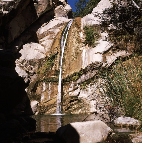
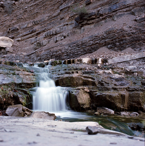
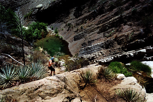
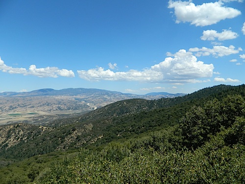
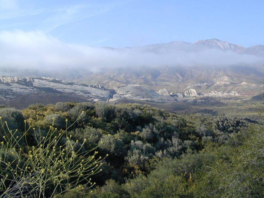
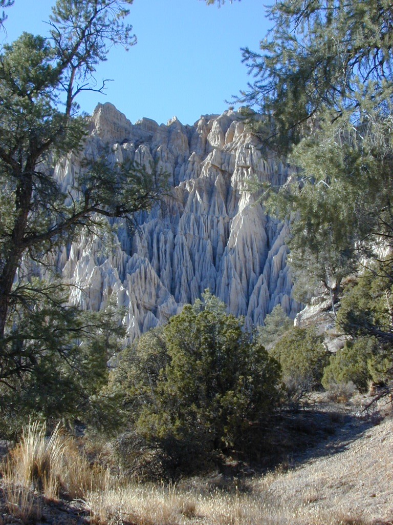
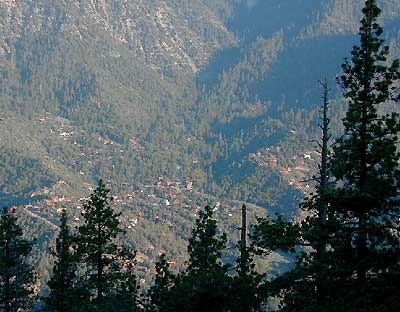
Sierra Madre Mountains, California

Miranda Pines – Camping Los Padres Back Roads & 4×4 Camps, Hwy 41 & Hwy 166 Camping – Santa Lucia District:
| campground | elev | spots | veg | toilet | water | notes |
| Baja Campground | 1400′ | 2 | oaks | pit | no | Rock Front |
| Barrel Spring Campground | 1000′ | 6 | oaks | vault | no | seasonal |
| Bates Canyon Camp | 2900′ | 6 | pines | vault | no | Cottonwood Cyn Rd |
| Brookshire Campground | 1500′ | 2 | – | pit | no | |
| Buck Spring Campground | 1500′ | 1 | – | pit | no | OHV area |
| Cerro Alto Campground | 1000′ | 22 | trees | vault | piped | on Hwy 41 |
| Colson Canyon Campground | 2000′ | 5 | – | pit | no | Colson Canyon Rd |
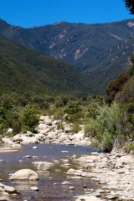
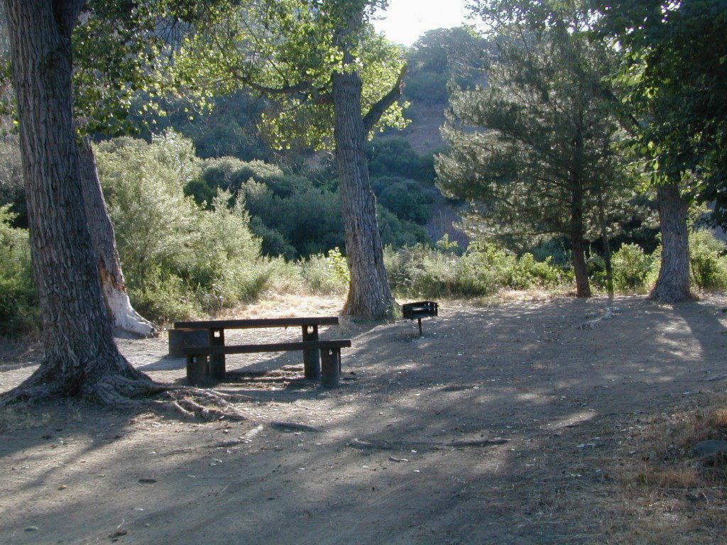
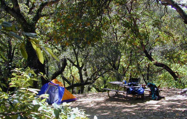
| Davy Brown Campground | 2100 | 13 | mixed | vault | creek | Sunset Valley Rd |
| Figueroa Campground | 3500′ | 33 | oaks | pit | yes | San Rafeal Wilderness |
| Friis Campground | 2200′ | 3 | – | pit | no | Rd# 29S02 |
| Hi Mountain Campground | 2400′ | 11 | – | vault | no | Pozo-Hi Mountain Rd |
| Horseshoe Campground | 1600′ | 3 | – | vault | no | Colson Canyon Rd |
| La Panza Campground | 2400′ | 15 | – | vault | no | Pozo Road |
| Lazy Campground | 1400′ | 2 | – | vault | no | Rd# 30W29 |
| Miranda Pines Campground | 4000′ | 3 | – | vault | no | Sierra Madre Ridge |
| Navajo Campground | 1900′ | 2 | – | pit | no | Rd #29S02 |
| Nira Campground | 1000′ | 11 | – | vault | creek | Manzana Creek |
| Wagon Flat Campground | 1400′ | 3 | – | pit | no | Colson Canyon Rd |
Most of these camps are free; No reservations needed!

see also – Rock Front Ranch for 4WD trails & camping

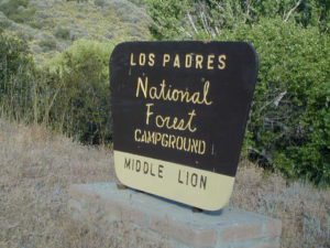
Los Padres National Forest
maps of the Los Padres region –
- Los Padres National Forest Maps (USDA NFS)
- Los Padres EAST Map (NatGeo)
- Los Padres WEST Map (NatGeo)

Davy Brown Campground has lush terrain and a small creek.