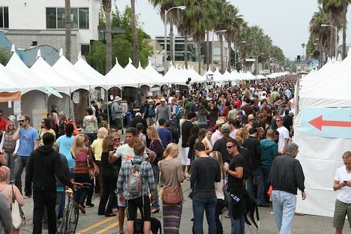
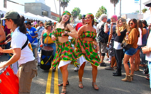
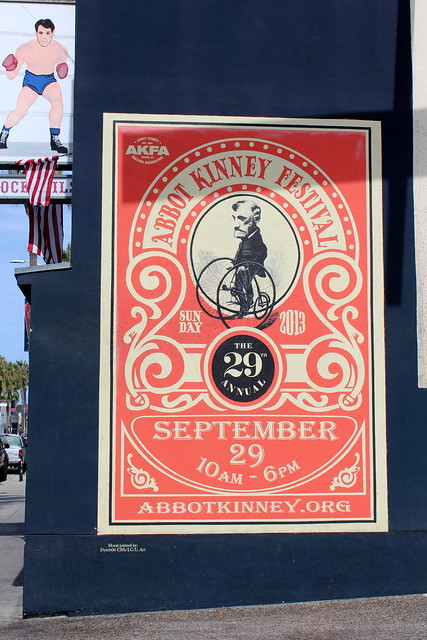
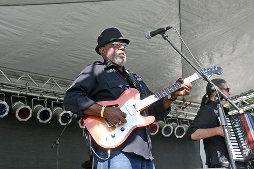
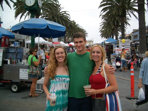
35 years running, held each year on Abbot Kinney Boulevard, in between Main Street and Venice Boulevard. Promotes the vibrant creativity that makes the funky community of Venice Beach so unique. The long running street festival is best known for an array of local artisan crafts, live music, DJs, good food and entertainment. Activities and areas are designed to complement the eclectic, cutting-edge mix of over 100 boutiques, art galleries, restaurants, bookstores, design firms, coffee shops, clubs, salons, and much more along the famed bohemian-chic shopping district of Abbot Kinney Blvd.
Annual event; September
One day event
310-570-7059
Yucaipa’s hidden secret – rural area of OAK GLEN, is a apple orchard canyon near the Inland Empire.
After the harvest is finished and the apples have all been picked from the trees – celebrate the coming winter with a historic festival that traces its roots back to the 16th century.
Public Apple Butter Making
Harvest Dinner and Dance
Historic Crafts
Children’s Games
Live Music
Wagon Rides
Merchant Vendors
Water Color Painting Class
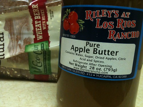
Los Rios Ranch holds the annual Apple Butter Festival & Apple Butter Hoedown on Thanksgiving weekend.
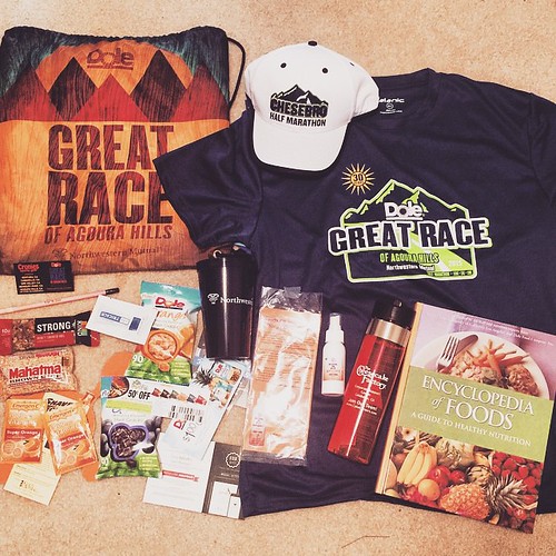
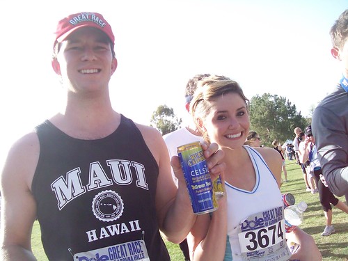
Dole sponsors the Great Race – one of the largest running events in the Los Angeles area.
The Great Race, located in the foothills of the Santa Monica Mountains in the Los Angeles suburb of Agoura Hills, California.
Celebration of running that features six races including: the incredibly scenic Cheeseboro Half Marathon (mostly) Trail Race, the Deena Kastor 5K, Old Agoura 10K, Triple Challenge 10.3 Miles, 15K Combo and a 1 Mile Run.
Long Beach Lobster Festival is now held in a new location, and is renamed:
The Original Lobster Festival
This event has been running over 25 years now. This Original Lobster Festival has become a tradition to over thousands of festival goers annually.
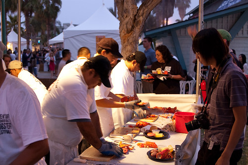
The event combines local popular artists, Swing, Salsa, R&B/Motown, Decades 70s/80s Dance Bands. Plus tons of Fresh Live Maine Lobsters steamed in the World’s Largest Cooker prepared and served by a Master Chef for that mouth watering taste, giant food court, children’s area, dance floor, two stages and beach bars to create the largest Lobster Festival outside of Maine.
This long running beach block party is always held on the extended Memorial Day Weekend – kicking off the summer months. 3 days of live music, art, food & fun.
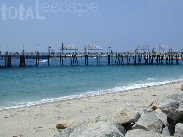
30 years running, this Redondo Beach event is a hot hit, especially for beach-goers near Los Angeles, California
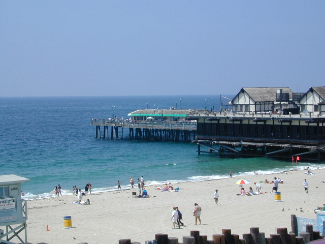
3 day event held at the Seaside Lagoon next to King Harbor, just north of the Redondo Beach Pier. Live music, entertainment, lobster recipes, celebrity chefs, craft beer, kids activities and vendor booths.
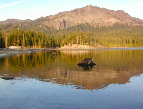
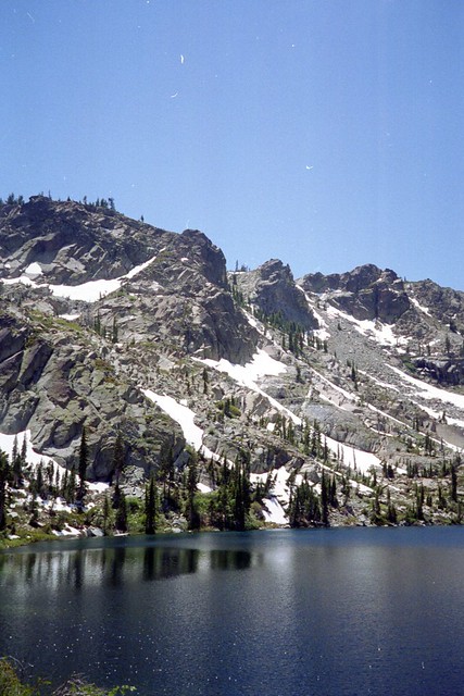
Numerous Silver Lakes, Creeks and other “silver” terrain can be found inside California. After the Gold Rush of 1849 in the western Sierra, Silver was discovered in Nevada shortly after (east of Sierra Nevada mountains). This page is an overview on all places with SILVER in the name, or places that have had a history of silver mining. California Counties are listed in parenthesis. Links below will lead to more detailed pages or campground reservations.
Silver Fork of the American River. Silver Fork Road connects US Highway 50 & Carson Pass Hwy 88. Silver Fork Campground & China Flat Campground (NFS) are both located on this remote, backcountry route, about 8 miles from US Hwy 50
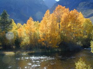
Autumn aspen groves ignite with color in October. Often, some of the best fall colors in the Eastern Sierra. Day trips w/ fishing. Hiking everywhere. Overnighters or backpackers could be greeted with snow at anytime in October or later. The June Lake Loop (SR 158) closes for snow annually!
below are silver mining camps and other silver related destinations, plus some campgrounds
Bodie SHP (State Park)
(Mono Co)
8375′ elev. US Hwy 395 near Bridgeport, CA. Infamous, high desert ghost town, now a California Historic State Park. Large gold mining camp w/ well-preserved, wooden, old town structures. Silver was discovered in nearby Aurora Canyon. All dirt road access. No developed campground @ Bodie, so try nearby Green Creek Road instead. Or high desert, back road camping on Aurora Canyon Road over to Bridgeport Reservoir.
Cerro Gordo
(Inyo Co)
8500′ elev. Inyo mountains, West of Death Valley, east of US Hwy 395 @ Junction 136. Old mining camp rich in silver history. Someone might even live up there. Extreme remote location in rugged, high desert mountains. 4×4 is always required!
Silver City Sequoia
(Tulare Co)
6935′ elev. cabin resort on Mineral King Road, in the South Sequoia National Park
Silver Valley Campground & Silver Tip Campground (Alpine Co)are both located near Lake Alpine on Highway 4 Ebbetts Pass , Central Sierra
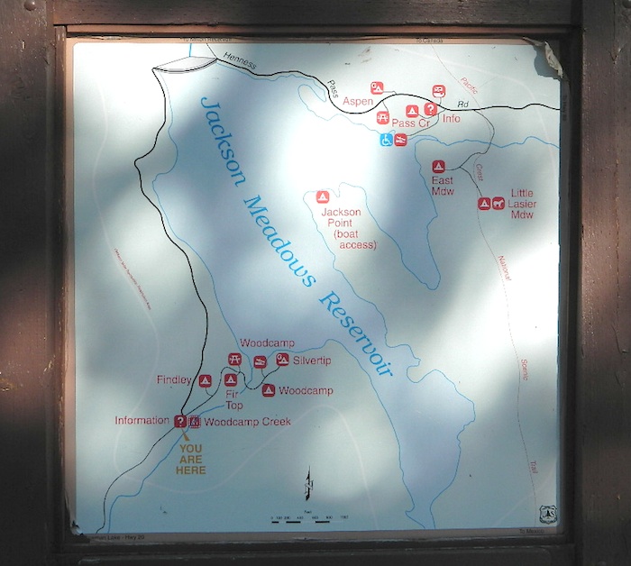
Silvertip is also a Group Camp at Jackson Meadow Reservoir (Sierra Co) off Hwy 89, North of Truckee, CA. Silvertip Group Campground, as with all group camping facilities, is by reservation only.
Silver Lake @ LA (Los Angeles Co) a hip and popular, tree-lined neighborhood in Los Angeles, near Griffith Park.
Silver Lake
(San Bernardino Co)
Silver Dry Lake, a dry lakebed in the Mojave desert, near the Hollow Hills Wilderness, north of Baker, CA off I-15
Silver Lakes
(San Bernardino Co)
2430′ elev. a desert community southwest of Barstow, near Helendale, CA. Located on the Mojave River (which flows underground) in between Historic Route 66 & US Hwy 395. Attraction nearby – Exotic World, the Burlesque Hall of Fame.
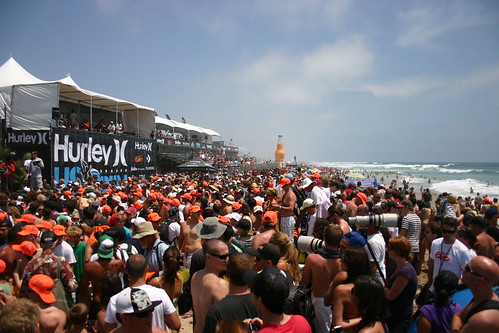
Huntington Beach host the annual surfing contest. Top surfers from around the world, a mix of action sports superstars of skate, BMX and freestyle motocross, as well as top musical talent – all combined in a festival atmosphere for a week-long youth cultural experience that will thrill and excite hundreds of thousands of spectators in beautiful Huntington Beach.
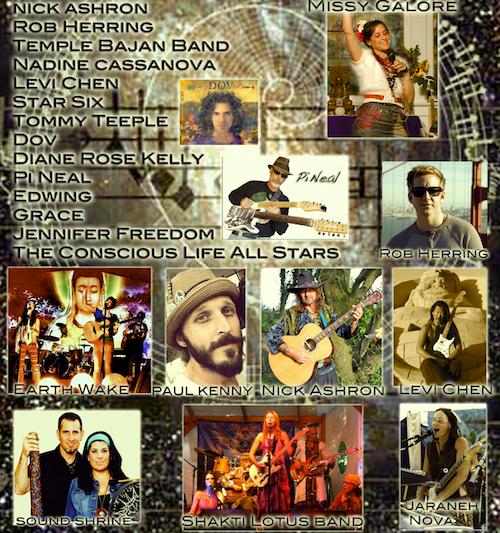
We live in an evolving universe, in an orgasmic nuclear dance of consciousness. Everything is changing, evolving, transforming. Wise men and women throughout history have tried to define the nature of the reality in which they found themselves. Myriad models have existed- most have fallen into the historical garbage heap, others cling by threads. We, these generations, are creating a new model.
The primary intention of the Conscious Life Conference and Exposition is simple: to participate in the conscious co-creation of a new world, a world based on new paradigms in science, in spirituality, in longevity, in local and global community, in relationship, in health and well-being.
The Expo is to bring us all together. This is a multi-day gathering of the tribes, a celebration of evolution and consciousness and a time to meet and do brainstorming sessions on who we are, where we are and where we are going.
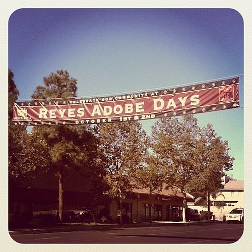
Reyes Adobe Days is held in the City of Agoura Hills, California. Carshow, parade & 5k run. The parade starts at Forest Cove Lane and travels along Thousand Oaks Boulevard to the Reyes Adobe Historical Site.
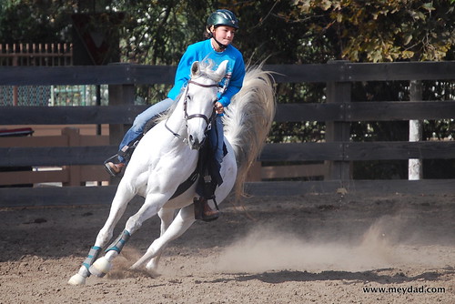
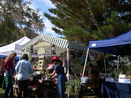
Families can experience California culture, past and present, with free museum tours, a music stage, interactive historical demonstrations, children’s history scavenger hunt, horse competition, pony rides, inflatables and carnival games, Victorian games, beer garden and food vendors.
30400 Rainbow Crest Drive
(next to Reyes Adobe Park)
Agoura Hills, California
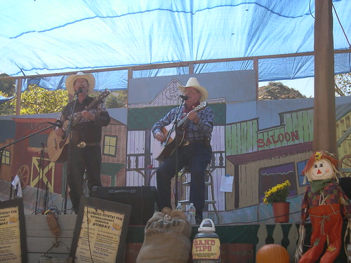
A good ole country style fair in the heart of SoCal. The 40th+ annual event, music and art festival in Silverado Canyon, Orange County. Explore the wonders of canyon history and culture, music, tasty food, handmade arts and crafts, games and silly contests, all nestled under the oak trees below the infamous Saddleback Mountain. Wild West theme! Folk, Country, Bluegrass, and Classic Rock bands will entertain through 2 days.
This one is a huge deal in the Los Angeles area. 4×4 extremes – in every direction. Tons of offroad industry vendors, displays, demos, and custom rigs and hot chicks in skimpy shirts for your viewing pleasure. Drool over every suspension, roll cage and locker. Lucas Oils is the big sponsor and this event is held annually, Family Events off road expo, summertime, air conditioning, in gorgeous Pomona.
Event not held in Silverado Canyon, but close enough. A local, long running tradition for this urban region. Chili cook off & car show, carnival rides & games are just part of the fun this weekend in Buena Park California. The good times can be found at William Peak Park in Buena Park, CA.
Los Angeles Hikes, Angeles National Forest, Angeles Crest, Baldy, Wrightwood, Palmdale, Tujunga, Frazier, and Malibu Coast
You relocated to California for college or your career – and to enjoy the outdoors more, but you ended up in the Los Angeles Basin instead, breathing smog daily. You will need to escape – soon, for sanity sake.
Total Escape – this is your new favorite web site on California outdoors. Bookmark it dude. And be proud to love nature!
PCT hikes – Pacific Crest Trail
The world renowned hiking trail that runs the entire length of the entire West Coast US. Canada to Baja, by way of Washington, Oregon and California – all on foot.
And when you finally get bored with hiking only in Southern California, there’s a whole lot more California to explore – up state!
NORCAL – Well beyond San Francisco and Yosemite, there are meadows to be found. Seclusion and tranquility in nature, without the crowds. Too many dirt roads to drive and dozens of rivers to see. Waterfalls abound, with wildflowers and amazing scenery all around. Small towns to discover!
Fly fishing rivers, kayaking lakes, wineries, organic farms, geysers, volcanoes, caves, old bridges and so much more to find in NorCal.
DanaMite loves to cover the real nooks and crannies of California, just for you – right here on Total Escape.
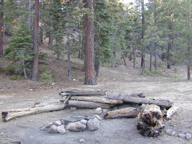
Mount Pinos Fire Circle Camp SpotGold Hill Campground (which is now closed) – right next to Piru Creek.
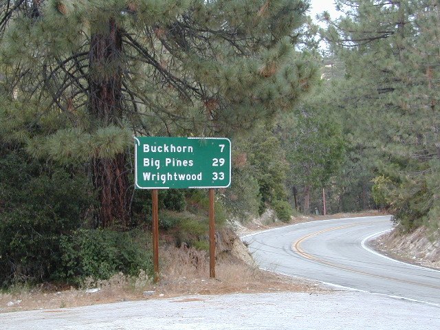
Frazier Park and neighboring towns, like freeway-close Lebec and Gorman, is where the Los Angeles hills meet the Kern County mountains. Mojave Desert meets to Coastal Range. EXIT I-5 @ Tejon Pass (elev 4144′)
Wildflower hills, seasonal creeks, forested peaks, high desert canyons. Bike trails, hike trails, off road routes. High elevation backpacking, hang gliding, mountain biking and camping in every direction.
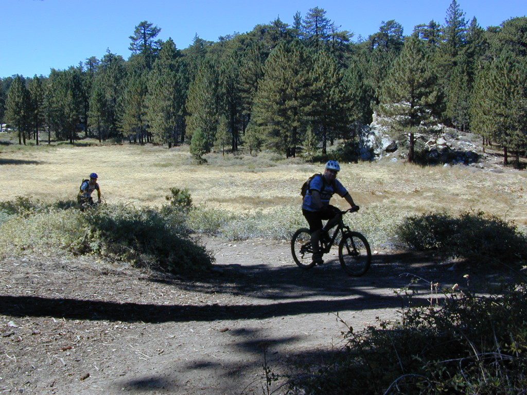
Mountain Bikers love the trails at Mount Pinos.
High desert washes, oak creeks, pinyon pine forests, mountain meadows and numerous peaks – Frazier Peak, Reyes Peak, Alamo Mountain, Mount Pinos, Mount Abel (Cerro Noroeste) and north facing San Emigdio ridge.
Many dirt roads are gated seasonally for wet weather or snow. Call rangers to find out which routes are open before you plan your weekend. Or have a plan B and C camp site ready if route is closed. Flashfloods, thunderstorms, and erosion means you may all-of-a-sudden need to use your 4WD. This is the mountains after all. UNpredictable weather is common.
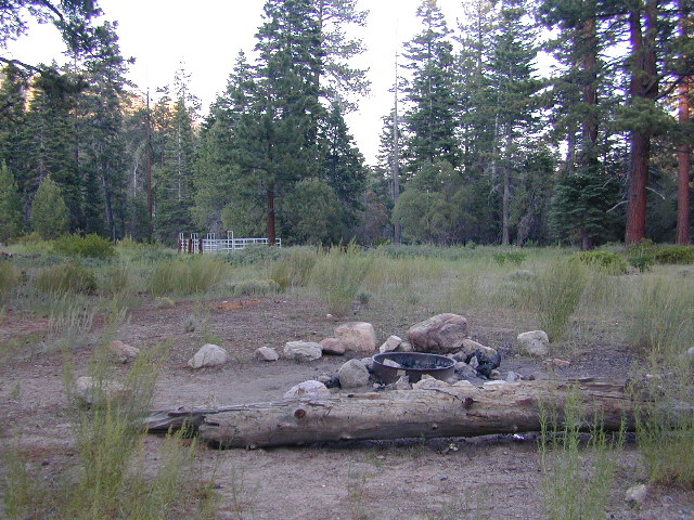
Primitive Camping in Quatal Wash, next to the OHV Route and the Chumash Wilderness
Peak-to-Peak Hike: the toughest climb you’ll do, this decade.
Big Bear – San Bernardino National Forest Camping & Campgrounds
areas include:
Big Bear Lake, Fawnskin, San Gorgonio, Lake Arrowhead, Forest Falls, Green Valley Lake & Idyllwild
Listed below are all the San Bernardino National Forest campgrounds, public lands for outdoor recreation. SoCal campground reservations can be booked online with the linked campsites below.
There are very few camping options along the Los Angeles coastline and what is available is geared toward RV campers and the dreaded, amusement parks. Orange County Coastline has the best camping near the Los Angeles region (without needing to smell the oil refineries). Ventura and Santa Barbara, both north of L.A. also have excellent camping beaches.
blue links lead to State Park pages with camp reservations.
SoCal Camping
Sunny and near perfect temperatures all year long, Southern California seriously pulls in the tourists. L.A. is a major metropolis city right next to the Pacific Ocean. With 22 million people residing in Southern California, and millions of visitors annually, this region is pretty busy all the time – even in winter months. Off season for camping might be November-March, when most of the precipitation falls for the year, but campground reservations are highly recommended all year long.
Dockweiler State Beach RV Park
Situated near LAX airport, the Chevron refinery and the main sewage treatment plant, this location can be stinky at times. Paved bike path along the beach leads north & south.
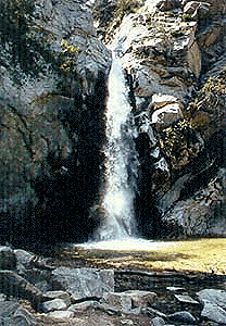
Millard Falls
2 mi RT; 1200′ elevation; oaks.
Arroyo Seco District –
of Angeles National Forest
818-790-1151 Altadena CA
From Interstate 210 in San Gabriel Valley, exit Lake Ave., go N & turn left/west onto Loma Alta Dr. & to Chaney Trail & follow signed dirt road
Sturtevant Falls
5 mi RT; 4600′ elevation; oaks, creek-crossings.
Santa Anita District –
of Angeles National Forest
818-899-1900
inside Big Santa Anita Canyon
From Interstate 210 in San Gabriel Valley, exit Santa Anita Ave.Go North/East, through neighborhood & up mountain to paved parking lot.
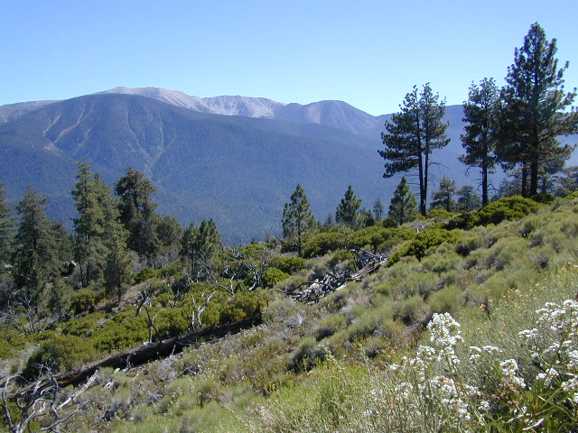
Old Greyback, San Gorgonio Mountain – as seen from forest road #2N93
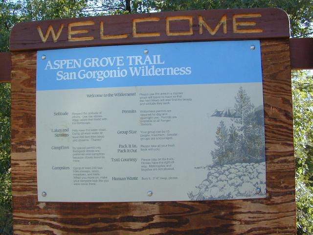
Southern California /San Gorgonio Wilderness Area / San Gorgonio Mountain Peak Hikes / Backpack Gorgonio
The tallest mountain peak in Southern California towers over the often smoggy basin of the Inland Empire, Riverside & San Bernardino. Coachella Valley lies to the southeast. Joshua Tree National Park lies due east.
Old Greyback is a fitting nickname for the peak. The massive, bald, decomposed granite gravel paves the whole top layer, above treeline (altitude nearing 12,000 feet above sea level) and this impressive peak can be seen from most of the Los Angeles basin and the Palm Springs desert. The expanding view of the Pacific Ocean can be seen 70 miles to the west, but only if the skies are clear. Windy, winter days are excellent conditions for viewing, but plan your hike accordingly as this peak could be covered in deep snow during winter or springtime.
This is a very popular backpacking weekend trip to escape from the big urban populations. San Diegans and Angelinos can easily access this location in a few hours from home, via Interstate 10 and some mountain driving on a 2 lane highway.
Santa Anita Canyon, Angeles National Forest
From the 210 freeway, in San Gabriel Valley. East of Pasadena, exit Santa Anita Ave.
Head North/East, through neighborhood, where road becomes Chantry Flats Rd (aka, Forest Road #2N40)
proceed up the mountain to paved parking lot @ Chantry Flat. Falls Trailhead #11W14
5 miles RT hike
4600′ elevation
steep canyon w/ creek crossings
falls and creek subject to seasonal dry up; water flow varies
Los Padres Campgrounds
Big Sur, Mount Pinos, Ojai, Santa Barbara, Santa Lucia
Los Padres National Forest campgrounds span the length of the California Central Coast, from the Monterey Bay to Los Angeles County. Choose a desired area:
Angeles Crest Back Roads – Angeles OHV Routes & Trails
Mt. Gleason Road / Santa Clara Divide Rd.
Angeles Crest Hwy.2 , North 9 mi. Left onto Angeles Forest Hwy.N3, drive 12 mi. to intersection of Santa Clara Divide Rd.
Turn left on paved road to Mt. Gleason. Many dirt roads will eventually branch off on the right side. A forest service map is advised for dirt road exploration.
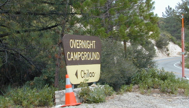
LOOP -Turn right & go up the mountain past Mt. Pacifico & beyond (eventually hooks back up with Hwy.2 near Chilao area.(Check with ranger if your planning on doing this loop to make sure all gates are open)
Angeles Forest provides over 300 miles of designated OHV roads/routes. When off-roading, all vehicles must meet DMV standards for mufflers & registration. Off-highway smaller vehicles must be equipped with approved spark arresters & have valid green stickers. State law requires that ALL ATV riders wear a helmet.
Rowher Flats OHV Area – Santa Clara/Mojave Ranger Dist
Littlerock OHV Area – Santa Clara/Mojave Ranger Dist
San Gabriel OHV Area – San Gabriel Ranger District
California Trail Ettiquette –
CLOSURES: Occasionally areas may be closed due to emergency situations, for resource protection, or during specific seasons when disturbances may drive animals from important habitat. These closures are usually temporary, and your patience and cooperation is appreciated.
RESPECT THE LAND DUDE
Stream banks & lake shores are especially sensitive areas; VERY susceptible to damage. These waterway & creeks in California, are sources of food and shelter to wildlife.
Cross streams at a 90° angle at a slow speed and – DickHead, do not travel up & down stream channels. These are precious areas.
LEAVE A GOOD IMPRESSION: Around developed sites, give other folks the space and quiet you would appreciate. Space out the RVs if possible. It’s not an RV park kinda deal. By law OHV traffic are permitted to exit & enter campgrounds, but not to PLAY within a campground. No one likes dusty salsa. If your muffler is not quiet (you’re an ass!), push your machine in the campground, with the engine shut off.
STAY ON THE TRAIL: Cutting switchbacks, taking shortcuts or hillside climbing may be a big thrill & challenge, but once vehicle scars the earth, other vehicles follow. The mob mentality maybe, Macho shit. The deep muddy ruts do long-lasting damage to vegetation, plus it doe not help w/ erosion. Rains cause further damage by washing deep gullies in tire ruts. Vegetation & wildlife habitat is lost. Ugly, permanent, unsightly scars on the earth result. Staying on trails helps protect the land. And helps keep trails open!!