Tag Archives: sespe

Sespe Hot Springs

Sespe Hot Springs
Los Padres National Forest

Backpackers Below

Sespe Wilderness
Los Padres National Forest

hike

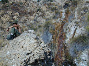
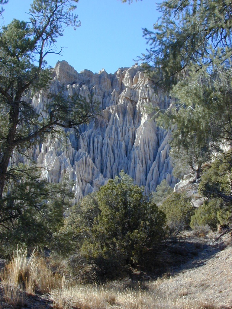
Sespe Hot Springs is one of the hottest thermal springs in the California coastal region. The unique springs, leaking from a cliff high above, leaves a red mark down the white rock wall and it is too hot to touch near the source. Scalding is possible in Sespe Gorge!

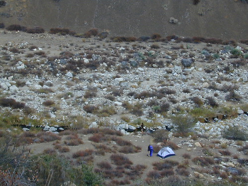
Several clearings and tent spots are located in the sandy canyon, between the cottonwood grove and the springs source. Stack river rocks and boulders to create your own soaking tub and relax. Do bring your backpack and plan on spending the night, cuz if not it’s an 18 mile RT hike (done as a day hike – it can be very long and rough). Weekdays are best for seclusion and having the whole place to yourself. Weekends are the prime time for SoCal trekkers to arrive.
DSCN3022

Sespe Trail MapGrade Valley Road – The access to Sespe Hot Springs trailhead is via Lockwood Valley Road; west of Frazier Park about 12 miles. Take the backroad #7N03 (Grade Valley / Mutau Road) southbound  into the forest and traverses 13 miles of rough dirt road to reach the small dirt parking lot. Deep inside this route, you are now totally surrounded by Sespe Wilderness. Both Thorn Meadows Campground and Half Moon Campground are located back here on the main dirt road. A dead end dirt road is the trailhead for Sespe Hot Springs.

Via Johnston Ridge – The access trail is LONG, with a lot of up and downs, changing in elevation, thru pinyon pine forest and oaks, along dry dusty ridges, very exposed. Cottonwood trees line the large canyon at the Hot Springs.

3 access trails to Sespe Hot Springs

Johnston Ridge Trail

Sespe River Trail

Alder Creek Trail

Ojai Rangers Trail Description (PDF)


hike Another hike is the soaking tub @ Willet Hot Springs

NFS

Los Padres National Forest
Mt. Pinos Ranger Station
34580 Lockwood Valley Rd
Frazier Park, CA 93225
661-245-3731

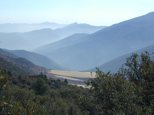
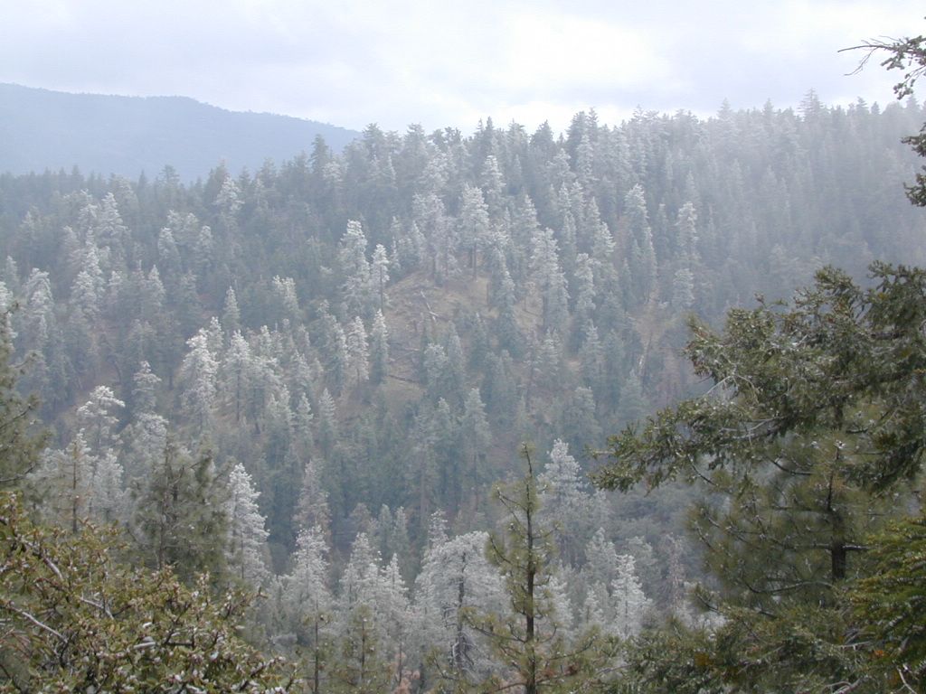
Haze in Los Padres

Los Padres Topo

Los Padres Monterey

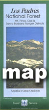
Los Padres National Forest Maps

Los Padres atlas
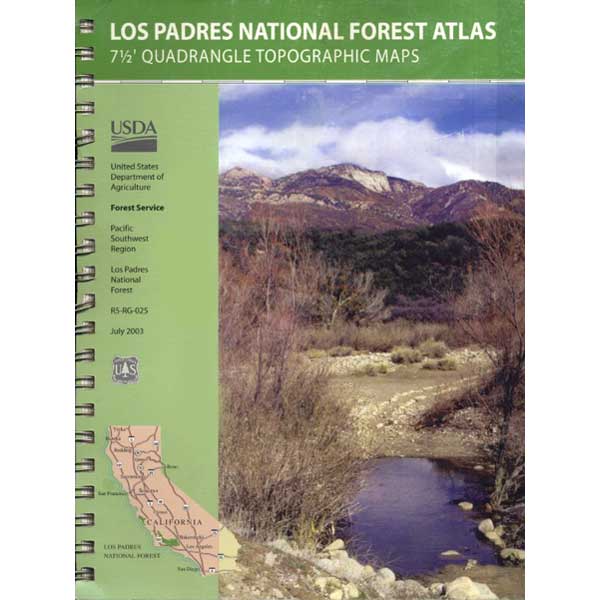
Los Padres National Forest USDA Topographic Atlas

7 minute QUADS (topo maps) inside a spiral bound book. Covers both north & south part of Los Padres National Forest. This map book can be found at ranger station – Los Padres USFS or click the book above to take you to the Total Escape Map Shop!

Los Padres Monterey Los Padres Ojai

Waterproof plastic map; USDA National Forest Service Maps

Additional topo maps for Los Padres region –

Forests

see more about Los Padres National Forest

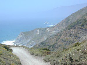
Big Sur Coast

dirtbikeshiker

Links for Los Padres National Forest destinations

hwy33overlook
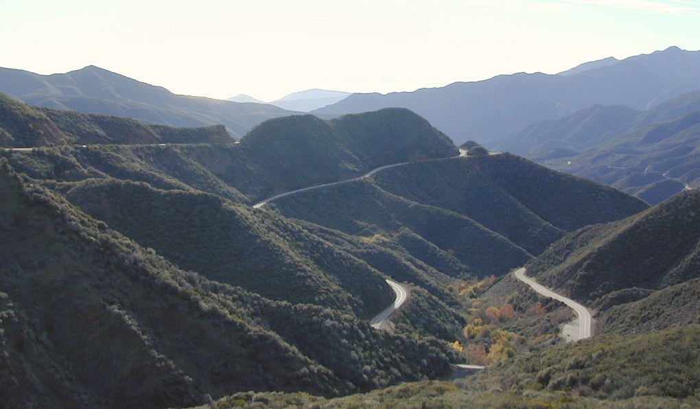
North of Ojai, CA – Highway 33 winds up to Los Padres NF

Chuchupate Campground

Lockwood Valley Campgrounds: Chuchupate

Los Padres National Forest, Mount Pinos Ranger District

chuchupate
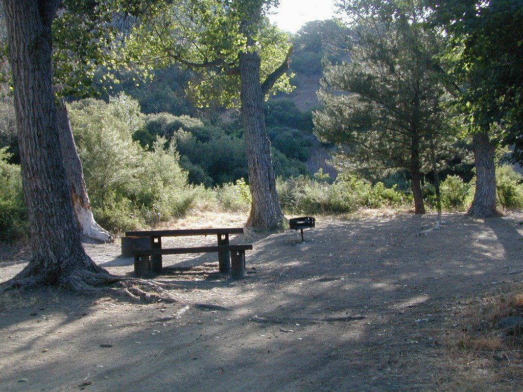
Forested campground, paved access; Up behind the Lockwood ranger station
campground  elev.
spots
 veg toilet water comment
Chuchupate 6300′ 29 pines vault no open year round

open year round; campground reservations 805-434-1996

Chuchupate Views

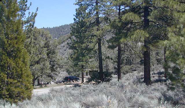
Pinyon w/ jeffrey pines, a high desert feel to this mountain side ideal camp – where the Mojave desert merges with the coastal ranges in Lockwood. Up high near the Tejon Pass @ Gorman. Sage brush slopes w/ forested campground is approx. 6 mi. off Lockwood Valley Rd. via paved road #8N04 (also called, Frazier Mountain  Road).

Adequate for RVs, small creeks around this camp provide
decent vegetation. The sites on the outside back loop are best
for shade & seclusion. Good for a base camp for the weekend
& drive out to see the rest of Los Padres National Forest.
For the mtn. biker, this is a prime spot for hitting up the dirt
back roads on Frazier Mtn. Plenty of hiking and nice views
of the valley around too.

chuchu 21
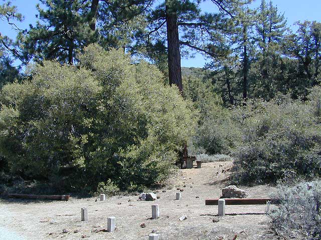
Small campground w/ fee. On forested slopes of Frazier Mountain.

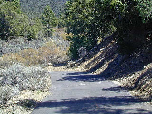
The easy to reach USFS campground can accommodate motorhomes, RVs, camper trailers up to 26 feet long. Paved access road is narrow and curvy and climbs the hill behind the large ranger station on Lockwood Valley Road.

Mt. Pinos Ranger District
34580 Lockwood Valley Rd
Frazier Park, CA
661-245-3731

  • backpack

  • camp

  • hike

  • horseback

  • mountain bike

  • off-road

  • picnic

  • stargaze

8N01
Paved road #8N04 FRAZIER MTN RD – starts @ Lockwood Valley ranger station

also nearby –

lockwood valley snow
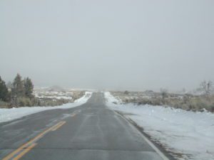
Attention fair weather campers: Snow is possible in this location from DEC-APRIL. Call head for local conditions and know weather forecast before you climb the I-5 (Grapevine).

Ojai Camping

ozenavalley
Highway 33 Camping Ojai, California

Los Padres National Forest / Ojai District:

campground elev spots veg toilet water notes
Holiday Group Camp 2000′ 8 oaks vault creek group site
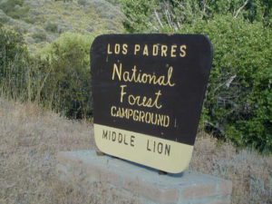
Middle Lion Campground 3150′ 8 oaks vault creek Rose Valley
Pine Mountain Camps 6650′ 6 pines vault no May-Nov
Reyes Peak Camp 7000′ 6 pines vault no May-Nov
Rose Valley Campground 3450′ 9 scrub vault creek Rose Valley Falls
Wheeler Gorge Campground 2000′ 73 oaks pit piped Matilija Creek
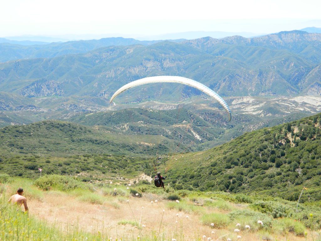
Launch @ Reyes Peak Trailhead

Los Padres National ForestNFS

see also –

middle lion campground
Creek Camping Lion
Creek Camping @ Lion
Piedras Blancas
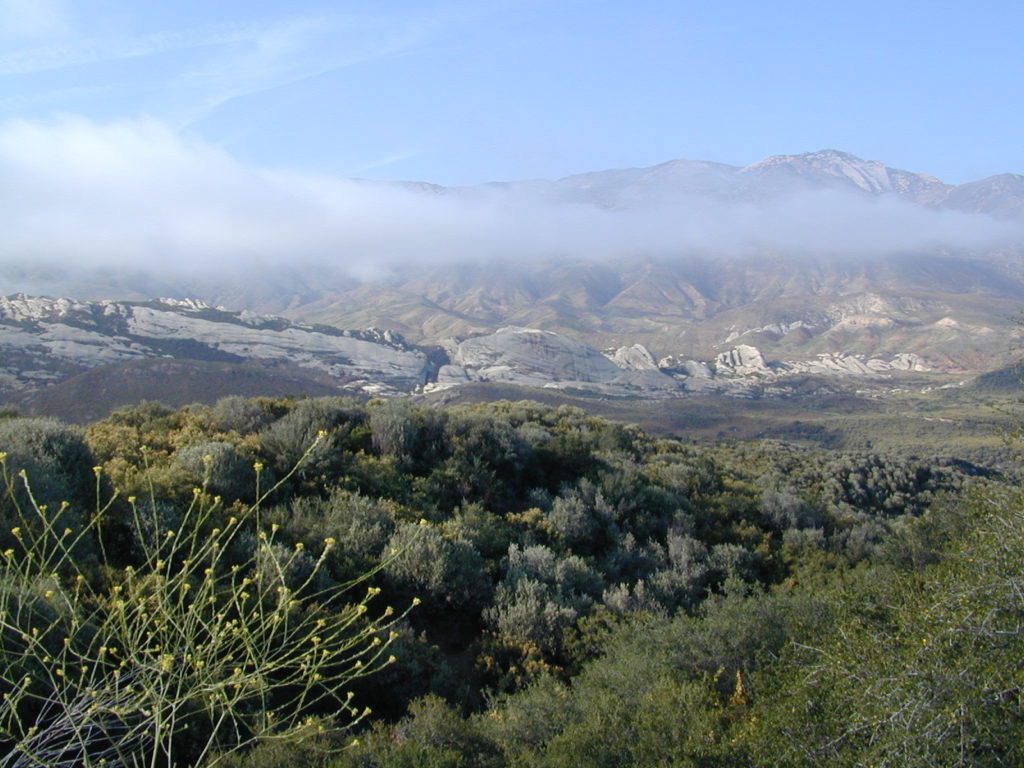
Coastal Foothills and Fog with Piedras Blanca backdrop

primitive camp sitesFREE CAMPING
additional NFS camps in the region:

Chumash Quatal Canyon
Chumash Wilderness access via Quatal Canyon

Open Camping in Quatal Canyon
Hwy 33
@ Ventucopa, California. OHV trails and red dirt canyons; Hike into Chumash Wilderness.

The main road parallels the big wash. Quatal Road #9N09 is graded (annually) and usually passenger car accessible; side routes to camps in the big wash or up any canyons may require high clearance or 4WD vehicle. No services in this canyon at all; Cell service is minmal. Gasoline is somewhere along the hwy (near a pistachio orchard).

Wilderness Areas along Hwy 33backpacking Los Padres

map of the Los Padres region –

Los Padres mountain towns –

DSCN2342

Rose Valley Falls has a small campground at the trailhead


Los Angeles Mountains

LA forest / Los Angeles Mountain / LA National Forest

wrightwood

Los Angeles forest & parks –

San Bernardino National Forest
Angeles National Forest
Los Padres National Forest

Santa Monica Mountains NRA
Malibu Creek State Park
Verdugo Mountains Park
Mount San Jacinto State Park

+ numerous Wilderness Areas

Los Angeles Mountains
Maps & Hiking Trails –

Los Angeles mountain towns –
Big Bear, Angelus Oaks, Arrowhead, Forest Falls, Green Valley Lake, Idyllwild, Wrightwood

Tunnel thru Rock

Angeles Crest Highway
Angeles Crest Highway 2