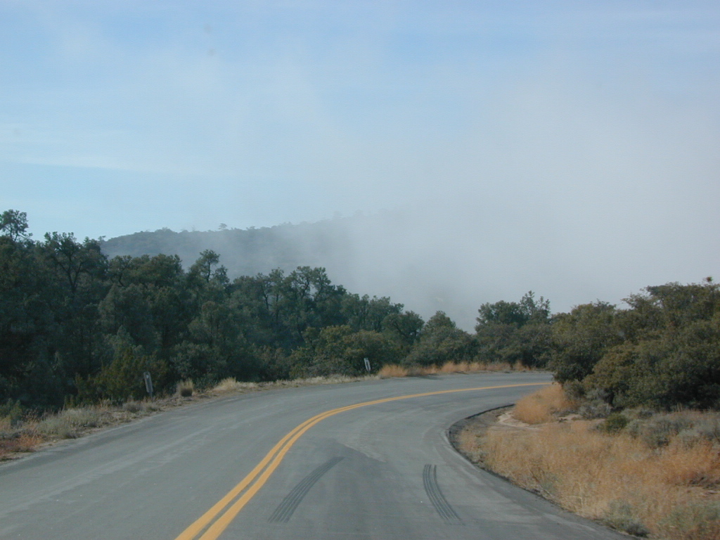
Highway 33 Camping Ojai, California
Los Padres National Forest / Ojai District:
| campground | elev | spots | veg | toilet | water | notes |
| Holiday Group Camp | 2000′ | 8 | oaks | vault | creek | group site |
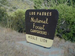
| Middle Lion Campground | 3150′ | 8 | oaks | vault | creek | Rose Valley |
| Pine Mountain Camps | 6650′ | 6 | pines | vault | no | May-Nov |
| Reyes Peak Camp | 7000′ | 6 | pines | vault | no | May-Nov |
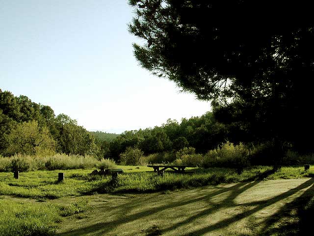
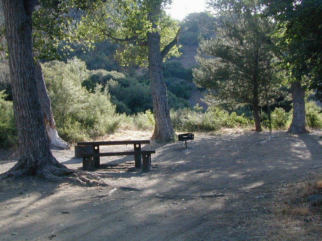
| Rose Valley Campground | 3450′ | 9 | scrub | vault | creek | Rose Valley Falls |
| Wheeler Gorge Campground | 2000′ | 73 | oaks | pit | piped | Matilija Creek |
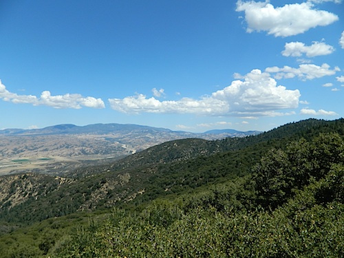
Los Padres National Forest
see also –
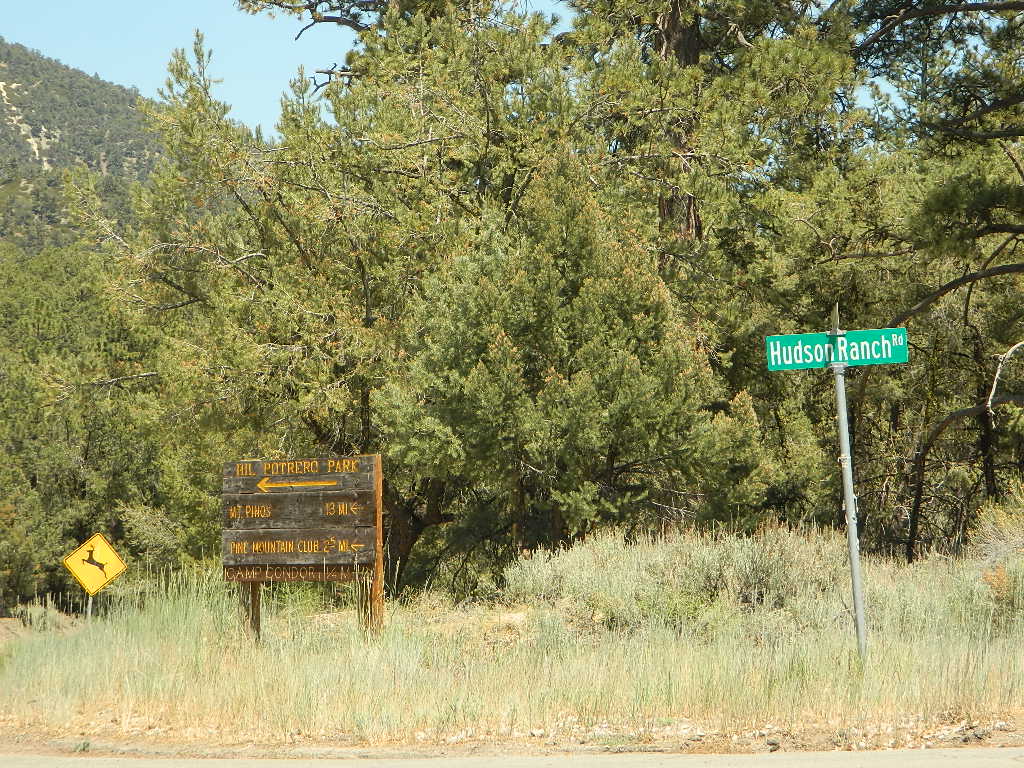
- Frazier Park Camping

- Camp O Alto @ Mount Able
- Mount Pinos Recreation Area
- Mount Pinos Recreation Campgrounds
- Group Camping Sites in Los Padres Forest
 FREE CAMPING
additional NFS camps in the region:
- Nettle Springs
- Ozena Campground
- Pine Mtn @ Reyes Peak
- Tinta Campground
- Toad Spring
- Valle Vista
- Ballinger OHV Park
- Dome Springs
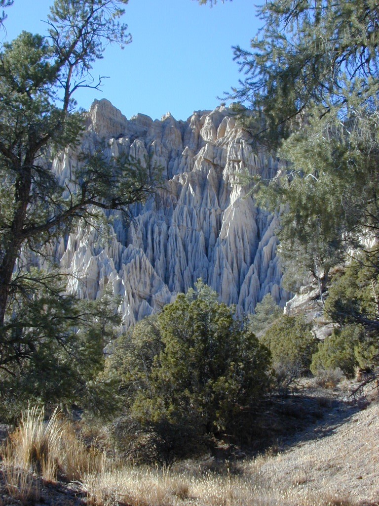
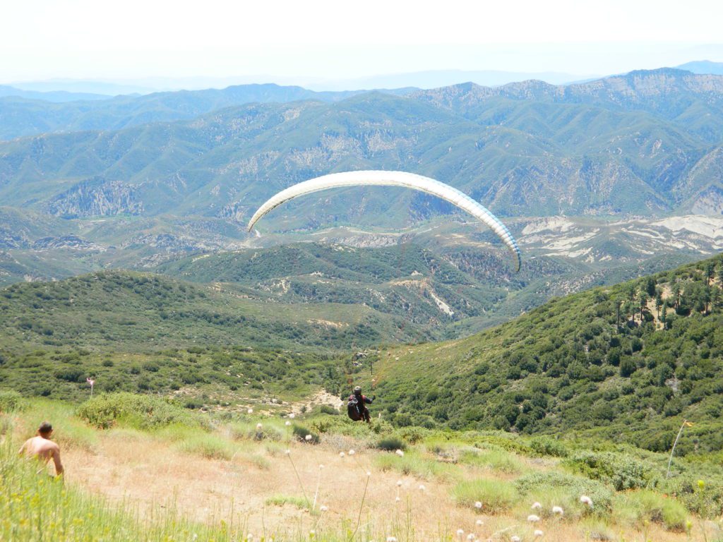
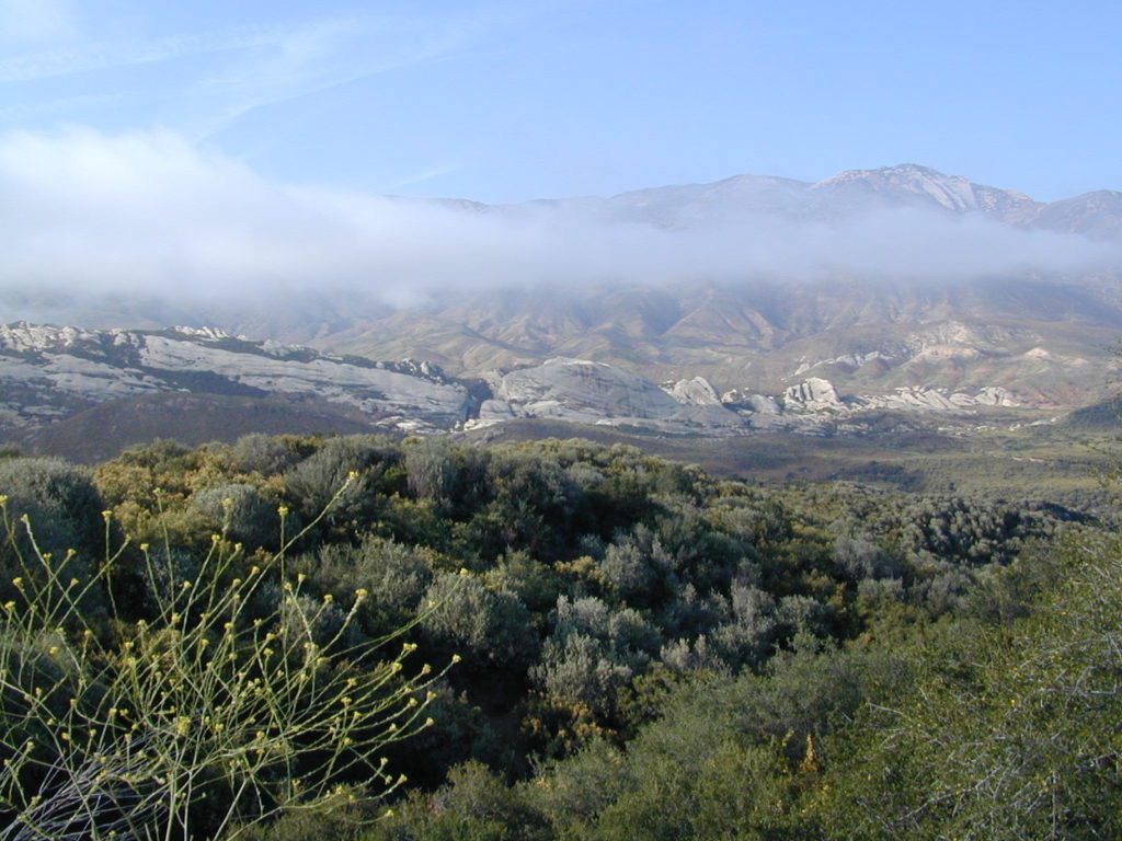
Open Camping in Quatal Canyon
Hwy 33 @ Ventucopa, California. OHV trails and red dirt canyons; Hike into Chumash Wilderness.
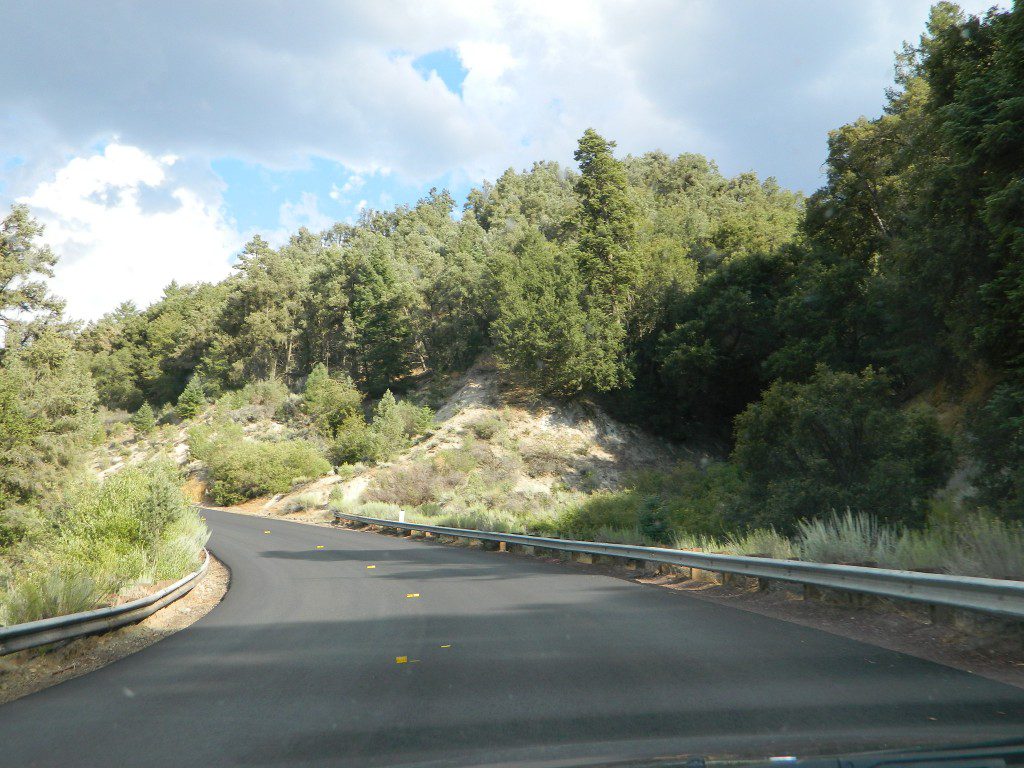
The main road parallels the big wash. Quatal Road #9N09 is graded (annually) and usually passenger car accessible; side routes to camps in the big wash or up any canyons may require high clearance or 4WD vehicle. No services in this canyon at all; Cell service is minmal. Gasoline is somewhere along the hwy (near a pistachio orchard).
Wilderness Areas along Hwy 33 –![]()
- Matilija Wilderness
- Chumash Wilderness
- Dick Smith Wilderness
map of the Los Padres region –
- Dick Smith Wilderness Map
- Los Padres Topo Atlas
- Los Padres EAST
- Los Padres WEST
- Los Padres NORTH
- Los Padres SOUTH
- Sespe Wilderness Trail Map
Los Padres mountain towns –

Rose Valley Falls has a small campground at the trailhead