Category Archives: Group Campgrounds

Samuel P Taylor Campground

San Francisco Redwoods Camping

Samuel P Taylor State Park
Samuel P Taylor Campground

San Francisco Redwood State Park

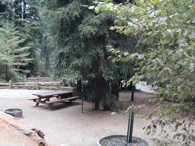
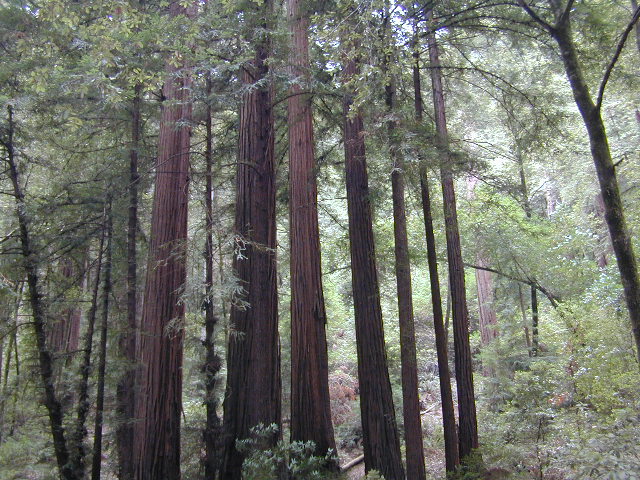
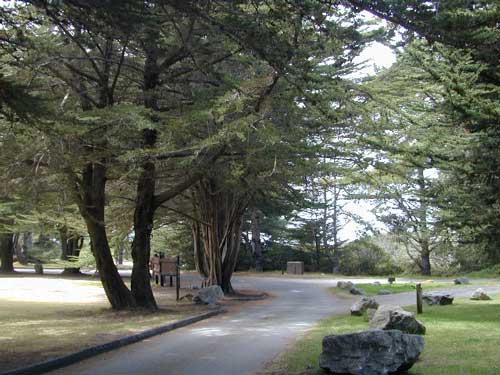
SamP is one of the large redwood parks north of San Francisco, CA. Coastal redwoods can be found in the mountains above Santa Cruz, as well as on the Point Reyes peninsula in Marin County. Hiking in the region is amazing w/ enchanted forests, dramatic fog, waterfalls, numerous trails in every direction.

califrepublic

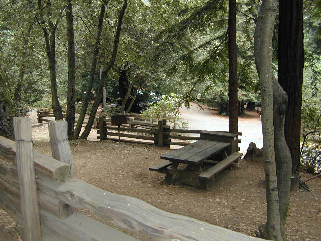
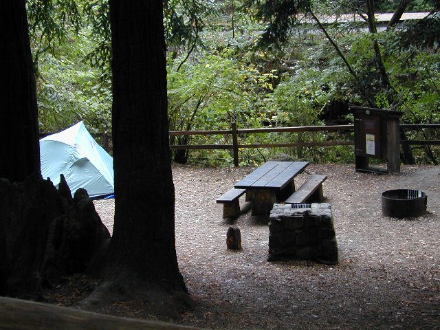
One of the best developed campgrounds in the region for car camping and RV campers.

Consisting of several camp loops, a group camp site, a horse camp and hike-in or bike-in camp sites. There are even cabin rentals in the park. This park has several camp sites that can accommodate visitors with disabilities. Reservations are highly recommended, especially during summer months. Be prepared to pay hefty fees for overnight use.

RVMax RV Camper Length: 31′
Max Trailer Length: 27′

  • Creekside Loop
  • Orchard Hill Loop
  • Madrone Group Site
  • Madrone Cabins
  • Horse Camp
  • Hike & Bike in Sites
    (8 person max)

Marin Redwoods
CA State Park

Samuel P Taylor State Park
59 developed campsites
+ cabin rentals
Sir Francis Drake Boulevard
415-488-9897

15 miles W of San Rafael, CA

Samuel P Taylor

camp

hiker

nearby towns:

State Park link

nearby parks:

  • Mount Tamalpais State Park
  • Point Reyes National Seashore
  • Tomales Bay State Park

Bridge

Oak Bottom Campground

Oakbottom Campground

Whiskeytown Recreation Area:
Oak Bottom Campground

Carr Fire 2018: some portions of this lake, shore, roads and trails may be closed due to the recent wildfire

The large, level, paved campground is right on the north shore of Whiskeytown Lake, on Hwy 299 – E of Redding CA

hiker

101 walk-in campsites
22 RV sites
elevation 1200′

  • boating
  • camping
  • hiking trails
  • kayaking
  • marina
  • mountain biking trails

Campground Reservation on NRA

Camp Sites near Water

Group Camping can be reserved at
Whiskey Creek Group Picnic Area
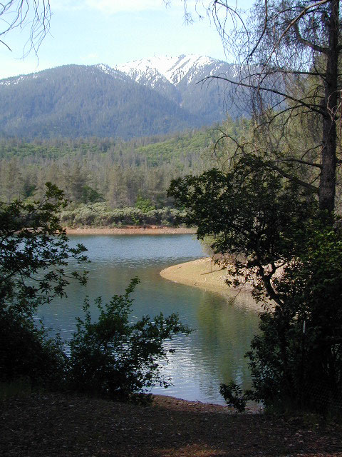
3 group camping sites with excellent views of the lake and mountains, on the northeastern shore of Whiskeytown Lake.

nearby towns:

Views Westward

canoe

Lake Sunset Whiskeytown

And by golly, there is another

OAK BOTTOM CAMP in Northern California,
way over west near Marble Mountain Wilderness

camp

Salmon River @ Somes Bar:
Oak Bottom Campground NFS

elevation 700′
26 sites
No electricity, water or sewer hookups

Six Rivers National Forest – Oak Bottom Campground loops around a forested hillside with large trees providing ample shading for multiple sites within the campground. A variety of wildlife makes its home in the area.

Located off the main highway, on a side road, with the epic Salmon River! This NFS campground is popular with whitewater enthusiasts in the spring. Rafters, kayakers. Many challenging rapids ranging from Class 3 to 5 are available. Swimming is also popular in the summer and numerous river access areas are a short drive or walk from the campground.

Frazier Park Camping

Mount Pinos Camping & Frazier Park Campgrounds

Drum Circle Camp
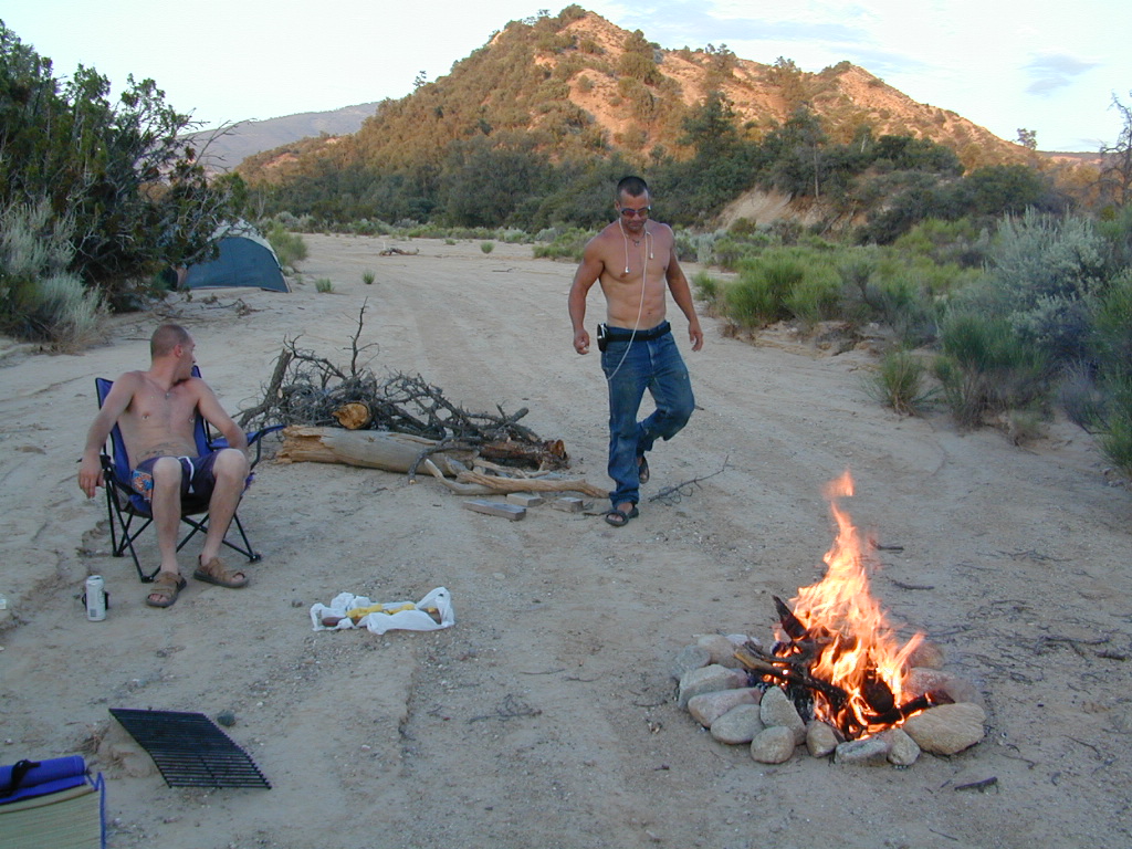
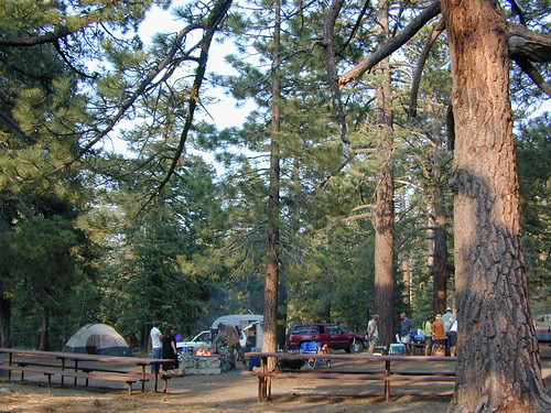
Mount Pinos Fire Circle Camp Spot
camp5
Gold Hill Campground (which is now closed) – right next to Piru Creek.

camp

Frazier Park and neighboring towns, like freeway-close Lebec and Gorman, is where the Los Angeles hills meet the Kern County mountains. Mojave Desert meets to Coastal Range. EXIT I-5 @ Tejon Pass (elev 4144′)

Wildflower hills, seasonal creeks, forested peaks, high desert canyons. Bike trails, hike trails, off road routes. High elevation backpacking, hang gliding, mountain biking and camping in every direction.

MTB SOCAL
Mountain Bikers love the trails at Mount Pinos.

High desert washes, oak creeks, pinyon pine forests, mountain meadows and numerous peaks – Frazier Peak, Reyes Peak, Alamo Mountain, Mount Pinos, Mount Abel (Cerro Noroeste) and north facing San Emigdio ridge.

Mt. Pinos District:

campground elev spots veg toilet water notes
Aliso Park, Cuyama 3200′ 11 oak pit no Aliso Cyn Rd. (#10N04)
Ballinger OHV Camp 3000′ 20 pinyon vault no Rd# 9N10, Cuyama Valley
Camp-O Alto 8286′ 12 jefferey pit no ridge, Cerro Noroeste
Caballo Campground 5850′ 5 oaks pit no Rd# 9N27, Cerro Noroeste
Cherry Creek 4×4 5200′ 2 oak no spring 4WD trail, Cuddy Valley
Chuchapate Campground 6000′ 30 pines vault piped Rd# 8N04, closed winter
Chula Vista Walk-In Camp 8300′ 12 pines vault no walk-in camps & RV lot
Cottonwood Campground 4600′ 2 ctnwd no creek 4WD only trail, fish
Dome Springs Camp 4800′ 4 oak pit no Rd# 8N40, Lockwood
Dutchman Camp 6800′ 8 pines no no Rd# 7N01, 4WD trails
Half Moon Campground 4700′ 10 pines pit no Rd #7N03, May-Oct
Kings Campground 4250′ 7 pinyon vault no OHV & Piru Creek
Marian Campground 6600′ 5 pine pit no closed in winter
McGill Campground 7500′ 50+ pine vault seasonal mountain biking
Mount Pinos Campground 7800′ 19 pine vault seasonal closed winter
Nettle Springs Camp 4400′ 9 pinyon vault no Rd# 8N06, Apache Cyn
Ozena Campground 3660′ 12 cottnwd vault no Lockwood Rd
Pine Springs Camp 5800′ 12 pinyon pit no Road #7N03
Pleito Campsite 5000′ 2 mixed no no dirt rd access, dispersed
Rancho Nuevo 3550′ 2 mixed no no river crossing
Reyes Creek 4000′ 30 oaks vault yes creek camping
Reyes Peak Pine Mt 5200′ 6 pines none no ridge camping
Salt Creek 4×4 3000′ 2 mixed no no 4WD only
Sunset Campground 4300′ 2 cottonwd no no Lockwood / Piru Creek
Thorn Meadows 5000′ 5 pine pit no Rd# 7N03C, horse corral
Tinta Campground 3600′ 3 pinyon pit no river crossing
Toad Springs Camp 5700′ 5 pinyon pit no Rd# 9N09, Quatal Cyn
Twin Pines Camp 6600′ 5 pine vault no Dry weather only
Valle Vista Camp 4800′ 7 mixed pit no condors, new toilet

See Mount Pinos Recreation Campgrounds only

Group Camping Sites in Los Padres Forest

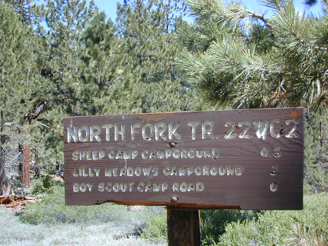
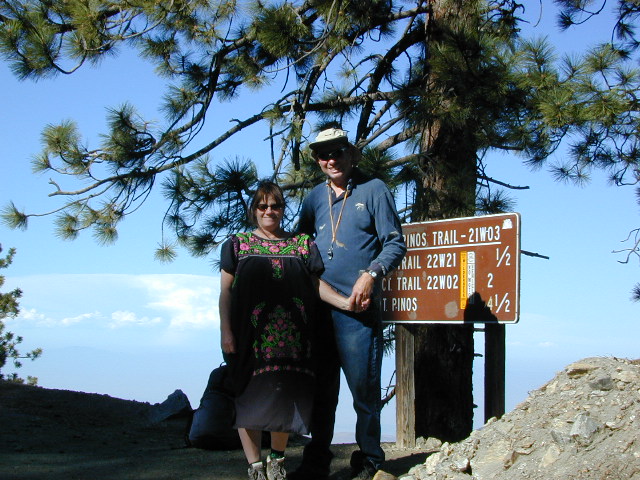
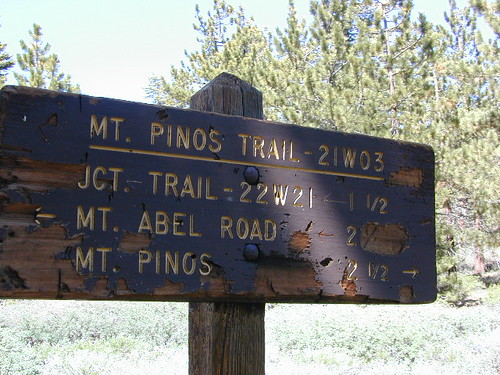
Hiking Pinos Signs
Mount Pinos – Peak to Peak hike.

Maps of Los Padres NF –nettle spring camp

Los Padres mountain towns –

DSCN0043

Toad Springs Campground atop Quatal Canyon. Small camps located in Los Padres NF have no fees, and often no toilets – so bring the shovel.

Many dirt roads are gated seasonally for wet weather or snow. Call rangers to find out which routes are open before you plan your weekend. Or have a plan B and C camp site ready if route is closed. Flashfloods, thunderstorms, and erosion means you may all-of-a-sudden need to use your 4WD. This is the mountains after all. UNpredictable weather is common.

frazier park camping

Primitive Camping in Quatal Wash, next to the OHV Route and the Chumash Wilderness

PeaktoPeak
Peak-to-Peak Hike: the toughest climb you’ll do, this decade.


Group Campgrounds Eastern Sierra

agnewmdws

Group Campgrounds in the Inyo National Forest camping

These group camping facilities are available by advanced reservation only; open for summer and usually closed during winter months .

campground elev spots veg toilet water notes
Agnew Meadow Horse Camp 8400′ 4 pines chem piped Group & Equestrian
Mammoth
Aspen Group 8100′ 4 aspen flush piped Rock Creek
Big Pine Canyon Group 7600′ 1 pines vault piped W of Big Pine; May-Oct
Bishop Park Group 7500′ 21 oaks flush piped Group Camping; May-Oct
Fossil Group Camp 7220′ 11 pines vault no Hwy 168; E of Big Pine
Juniper Group Camp 7000′ 5 juniper vault piped Hwy 168; E of Big Pine
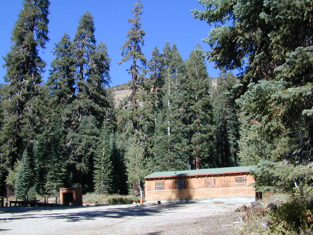
Obsidian Flat Group 6000′ 50 pines vault no Group Camp Mammoth
Pumice Flat Group 7700′ 17 pines flush piped June-Sept; Mammoth
Rock Creek Lake Group 7600′ 1 aspen flush piped Group Camping; May-Oct

RESERVATIONS REQUIRED

Call ranger station to reserve.
Inyo National Forest
351 Pacu Lane #200
Bishop, CA 93514
760-873-2400

see developed tent & RV Campgrounds – Inyo National Forest

rockcreekcliffs

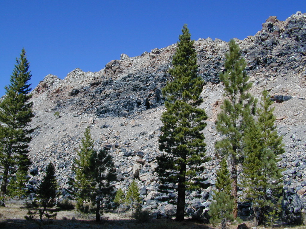
Obsidian near Hwy 395 & Mammoth
Eastern Sierra Obsidian Dome – near US Hwy 395 & Mammoth Lakes, CA

Eastern Sierra maps –

Topo maps, wilderness hiking maps, fishing maps
Equestrian trails, 4×4 routes, OHV maps –

lake mary

southforkbishop

Bishop Creek near Aspendell, CA

Shasta Lakes Camping

camping whiskeytown

Unbeknownst to most California tourists, the “Shasta” region encompasses most of the northern part of the state. From the majestic Trinity Alps to raging Burney Falls; the huge, snow capped peak of Mount Shasta can be seen by half of NorCal. From the high country on the north side, to the Sacramento Valley on the south side. Shasta dominates this region all around Redding and I-5.

Northern California has numerous camping lakes, most of which are very RV friendly. Boating, fishing, hiking, kayaking & even houseboat rentals are available at Lake Shasta.

The Big Lake you see from Interstate 5 is named Shasta Lake, the main drain from the northern reaches of Oregon. The big reservoir in the middle of the North State.

canoeWhiskey Town Lake is west of Redding, with Trinity Lake tucked way back up in the hills – N of Weaverville.

You could spend a lifetime exploring all the lakes in the Shasta area. On foot, by bike, with a fishing pole and a pack llama. Maybe just an old funky motorhome.

camptruck

Lake Road Trinity


boatramp

towns nearby with camping –

Weaverville, CA
Trinity Center, CA
Douglas City, CA
Lewiston, CA
French Gulch, CA
Shasta, CA
Redding, CA
Shasta Lake, CA
O’Brien, CA
Lakehead, CA
Dunsmuir, CA
McCloud, CA
Mount Shasta, CA
Burney, CA
Weed, CA

Los Angeles Group Camping

Los Angeles Group Camping

Angeles Crest Campgrounds

Angeles


campground elev spots veg toilet water notes
Bandido Campground 5,700′ 120 pines vault piped Group Camp
Coulter Campground 5,200′ 50 pines vault piped Group Camp
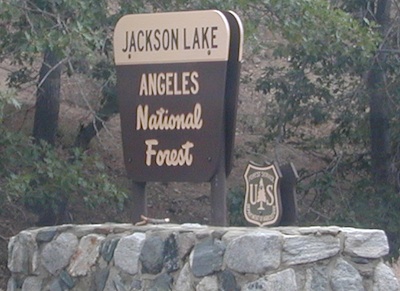
Jackson Flat 3,400′ 180 pines flush piped Jackson Lake
Los Alamos Campground 2,600′ 75 sage flush piped Pyramid Lake
Meadow Group Camp 5,200′ 100 pines flush piped Lower Chilao
Lightning Point 6,200′ 200 pines vault none Group Camp
ODCmapout
Outdoor Clubs, found in L.A.

jacksonsign

nearby towns –

Pyramid Lake
Family Fun @ Pyramid Lake, along Interstate 5

Angeles Maps – hiking, OHV & mountain biking –


Los Padres Group Campgrounds

Los Padres Group Camping – Big Sur, Monterey & Ojai, California

Los Padres Forest is the SoCal camping mecca. Pinyon forests & peaks of nearly 9000′ make this the highest elevations of Kern County. This coastal forest on the San Andreas Fault burns bad due to winds & wildfires, but there is plenty back country to enjoy with minimal crowds – as long as camp fire safety is key.

Southern Los Padres National Forest operates Group Campgrounds for reservations. Several back country camp spots can accommodate a large group. Mount Able’s Camp-O-Alto and Mount Pinos’ Chula Vista walk-in camp can both handle a big crowd, but you may need to call the Lockwood Valley ranger station for more info and availability.

Northern Los Padres – Hwy 1 around the Big Sur/Monterey CA region has 2 Group Campgrounds w/ facilities, flush toilets & reservations online.

Los Padres Group Campgrounds:

campground elev people veg toilet water notes
Arroyo Seco Group Camp 1000′ 49 mixed flush piped Carmel Valley, Greenfield
Holiday Group Camp 2000′ 8 oak vault piped N of Ojai
Plaskett Creek Campsite 600′ 45 pines flush piped South Big Sur coast
Sage Hill Campground 1200′ 50 sycamore flush piped Lake Cachuma

If you are seeking regular campgrounds that take reservations and do not need a large group site, then follow this link below for all other Los Padres campsites.

https://totalescape.com/outside/campsites/los-padres-camping/

Los Padres Camps

Plaskett Campground is across the road from Sand Dollar Beach, a popular day use area. California Coast Campground – the infamous Central Coast Highway – Hwy 1 (so you may hear traffic @ this camp)

camptruck

Hungry Valley SVRA – off-road park located near Interstate 5 @ Gorman, accommodates large and small groups with numerous campgrounds. Expect busy weekends and crowds; sometimes snow during winter months.

Ballinger Canyon OHV Park – off road park near Cuyama River Valley, on Hwy 33 near junction w/ Hwy 166. Campgrounds suited for off-road campers and RVs. Dirt bike trails, off road routes; North of Quatal Canyon (Rd #9N09) & Chumash Wilderness.

maps of Los Padres Central Coast-


Group Campgrounds El Dorado

Group Campgrounds in El Dorado National Forest

camp

group campground elev sites veg toilet water notes
Bear River Campground @ Lower Bear Reservoir 6000′ 3 pines vault piped boating, fishing
Black Oak Campground @ Stumpy Meadows Lake 4400′ 4 oaks vault lake boating, fishing
Loon Lake Group Site 6500′ 3 pines vault lake equestrian
Middle Meadows Campground near Hell Hole Reservoir 4700′ 2 pines vault piped fishing
Red Fir Campground @ Loon Lake 6500′ 1 pines vault pipd handicap access
Wench Creek Group @ Union Valley Reservoir 4900′ 2 oaks flush piped fishing

hiker canoe    fish

see more about El Dorado National Forest, California

nearby towns –

El Dorado Forest Maps –

Borrego Camping

Anza Borrego Park / Anza Borrego Campgrounds

DSCN0034

California Highway 78 cuts across Southern California and right thru the middle of the largest State Park in the lower 48. Anza Borrego Desert State Park is a place that must be visited more than once to really take in all the beauty it has to offer. Free camping in Southern California is abundant here, if you are willing to follow the primitive camp fire rules of the park and you are comfortable camping away from developed campgrounds.

North-South: San Diego County Road S2 skirts the western border with Laguna Mountain towering above. It starts at Ocotillo @ Interstate 8 and heads Northwest to Lake Henshaw at Warner Springs.

East-West: a major route S22, connects Ranchita /Montezuma Valley to the Borrego Valley, and continues East to the Salton Seawhataview. The center of the parks is pretty much the town of Borrego Springs, where the State Parks visitors center is located. San Diego County Road S3 leads from Hwy 78 down the the town of Borrego Springs Valley.

developed campgrounds:

free camping: While the camping facilities listed above provide picnic tables and toilets, or more luxury camping… Total Escape thinks the best part of camping in Anza Borrego Desert is the vast amount of free, open camping available on most back roads. Hundreds of dirt roads lead off in all directions, so you can find the peace and solitude that few inside busy campgrounds ever experience.

  • Anza Borrego Desert Map
  • San Diego Backcountry Map
  • Many Anza desert routes are sandy washes, dirt roads, some for high clearance vehicles only, or 4WD in several canyons. Often there is no signs telling you need 4×4 to proceed. May only find out when its too late and you’re stuck.

    Have a good dirt road map with you and know your vehicles limitations. Passenger cars should be very cautious off road. Cell phone coverage is spotty out here in the most remote wilderness areas. oystercamp

    Fort Churchill Camping

    Desert camping south of Reno? Well there ain’t much to choose from out here. Walker Lake near Hamilton, NV looked dismal, so keep driving northbound and hope for the best.

    Maybe one of the canyons near the reservation has a level pull out along the highway. Just far enough off the main road to hear the midnight traffic, just barely.

    Fort Churchill, Nevada

    churchill terrain

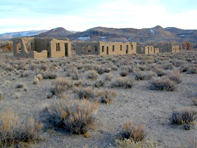
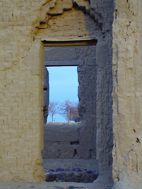
    Fort Churchill was one of the original US Army forts built to help with the flood of overland pioneers making their way to California. Adobe structures in ruin, plus the sagebrush wetlands and cottonwoods along the river make for ideal scenery. A Pony Express route too!

    Shall we call it the first of the California Welcome Centers?
    Or an invasion of the “wildness” of the Sierra Nevada, and the West Coast.

    From the year 1800 on – trappers, hunters, miners, ranchers, prospectors, surveyors, homesteaders – and basically everyone was headed westward, across the continent. The secrets of the golden state were unfolding worldwide. After gold & silver were discovered in the hills, the real rush to Alta California began.

    California [population boom] history

    Nevada California border

    US Highway 95A

    ALT95 – The Yerrington Cutoff

    Ideal “in route camping” if traveling near Reno, south of Interstate 80. You gotta be off on the side route through Yerrington, Nevada to reach this convenient road side campground. Big trucks stick to the main highway, but this rural 2-laner cuts thru residential, reservations, and ranch lands. Rural backroads are abundant and most are private property.

    Fort Churchill State Historic Park
    Ranger Office
    10000 Highway 95A
    Silver Springs, NV 89429
    775-577-2345

    Nevada Desert Camping

    OPEN ALL YEAR LONG

    Driving on rural Nevada Highway 95A you can find the park headquarters and fort on the west side of the road. The camping is on the opposite (east) side of the highway, down an embankment, near the Carson River. A very small brown sign with the word CAMPING (reflects at night) and you may see it – if you aren’t driving 70 mph.

    DESERT CAR CAMPING – VEGAS TO RENO

    In Route Camp

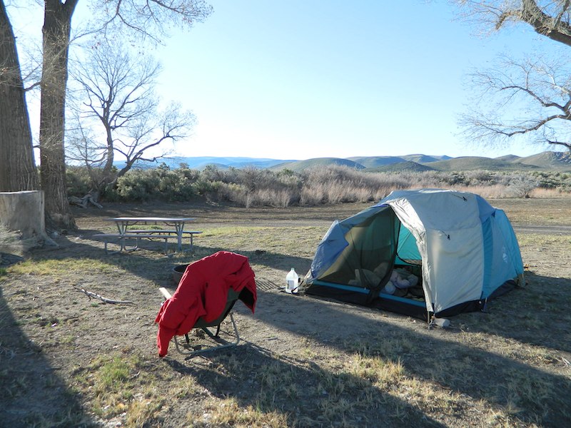
    Perfect refuge for weary travelers, along the long, lonely, desert highways of Nevada. RV campers will like the wide dirt road w/ some level spots, accommodating the largest of motorhomes w/ dump station nearby. Trucks w/ trailers are often seen sleeping along the roadside at this location. Equestrian river access w/ horse trailers too.

    Cottonwoods in some of the lower spots, but mostly sage brush, rabbits and open skies. This is the Carson River Basin, so dirt roads w/ mud and potholes are common. No street light near here. In the dark, the primitive roads are manageable, but the signs are minimal.

    elevation 4250′
    SNOW is minimal in WINTER months (DEC-MARCH)

    Desperate tent campers (willing to drive dirt for a bit) can find the “scout camp”. Most nights are filled with the cries of the coyotes in the distance. Park rangers patrol in the morning to collect camp fees. Or you can find the park headquarters, across the highway.

    fortchurchill

    NO CAMP RESERVATIONS
    Primitive campground has 20 sites suitable for travel trailers, motor homes or tents. Campsites include a table and fire ring, w/ camping limit of 14 days. Group camping is also available.

    churchillruins

    Faucherie Lake

    Faucherie Kayak Camp

    Faucherie Lake California

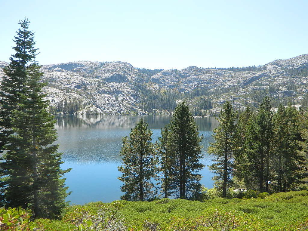
    Lake Faucherie is set in spectacular scenery of granite mountains, with peaks and waterfalls all around. Many believe that you could only reach this kinda high elevation beauty by foot, with a backpack, but here it is – accessible by a very long, rough & rocky backroad.

    No motorhomes, no camper trailers, no motorboats, no engine noises on the lake, no big families. Just well-deserved solitude, finally. Peace and quiet!

    Perfect alpine lake for car-top boaters – those who carry their boats on top of a vehicle. But be warned very few ‘passenger cars’ make it back this far, due to the challenging roads.

    BACKPACKING, CAMPING, CANOEING, FISHING, FLOATING, HIKING, KAYAKING, OFF-ROADING, SOAKING, STARGAZING, SWIMMING

    No motorized boats or watercraft allowed. One public boat ramp; gravel parking area, vault toilets, gated entry for group campground. No more driving across dam (it is now gated).

    NFS NFS NFS kayak camp hiking mountains NFS backroads snowmelt stars

    Faucherie Lake Road – a spur road, off of the ‘843 Road’ leads up to both Sawmill & Faucherie Lakes, as well as the Canyon Creek Campground.

    This primitive road forks off at Jackson Creek Campground, Tahoe NF, way, way back behind Bowman Lake. The rugged route is also known as Nevada County Rd #843-037. Conflicting numbers appear on USDA web site for this route, so don’t get confused.

    The brown Forest Service signage is decent at Jackson Creek Campground – so if you get that far, you’re almost there. Sorta. Did I mention how crazy the road is? Any wet weather or snow will make this route “4×4 required”. This place is closed off about half the year, due to deep snow (NOV-MAY). Although on summer weekends, this area is busy for a remote high Sierra lakes region.

    To reach this rugged Canyon Creek takes hours of driving with a good backcountry map and a reliable, high clearance rig. AWD Subies and mini SUVs beware, you’ll need a spotter on the bad sections of this road (or risk serious oil pan damage). Or perhaps maybe, we “shouldn’t be back on these kinda roads in that ‘lil sportwagon’ missy.”

    See more details on driving directions for Canyon Creek Campground.
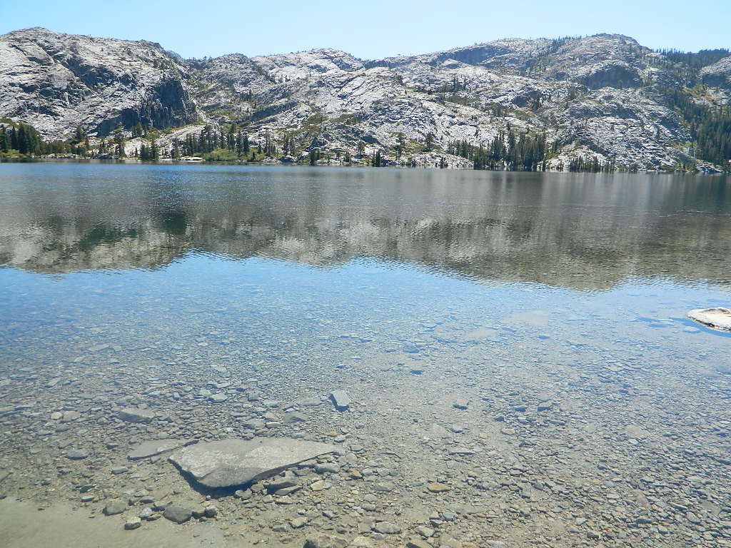
    Crystal Clear Faucherie

    Faucherie Lake Group Campground
    (25 people maximum per site)

    • Elevation: 6135′
    • Number of Sites: 2
    • Vehicle Access: High Clearance Vehicle, no trailers
    • Campsites Reservation: Yes
    • Camp Fee: Yes
    • Season: June – October
    • Trailheads: Faucherie Lake Falls, Five Lakes Basin, French Lake, Haystack Mountain

    camp
    Faucherie Group Camping

    Campground Reservations:
    Nevada Irrigation District
    530-265-5302
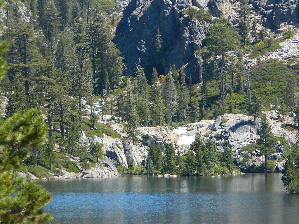
    incoming flow

    Faucherie Falls – Six waterfalls above lake:
    Upper Faucherie Lake Falls #1: 39.4257 N, 120.5616 W
    Upper Faucherie Lake Falls #2: 39.4257 N, 120.5606 W
    Upper Faucherie Lake Falls #3: 39.4262 N, 120.5568 W
    Upper Faucherie Lake Falls #4: 39.4268 N, 120.5550 W
    Upper Faucherie Lake Falls #5: 39.4270 N, 120.5544 W
    Upper Faucherie Lake Falls #6: 39.4272 N, 120.5538 W
    USGS Topo: English Mountain
    Granite Faucherie

    California Summer Camp

    Kids Summer Camps in California

    a child’s fondest memory, summer camp.

    California Camps

    Coppercreek Camp
    Williams Valley Rd
    Greenville, CA 95947
    800-350-0006
    Northern Sierra Nevada mountains

    Gold Arrow Camp
    60378 Highway 168
    Lakeshore, CA 93634
    800-554-2267
    Central Sierra Nevada mountains

    Kennolyn Camps
    8205 Glen Haven Road
    Soquel, CA 95073
    831-479-6714
    Santa Cruz mountains

    Mountain Meadow Ranch
    Susanville, CA 96130
    530-257-4419
    Northern Sierra California

    Plantation Farm Camp
    4285 Kruse Ranch Road
    Cazadero, CA 95421
    510-849-1084
    707-847-3494
    Coastal Sonoma redwoods

    Pine Springs Ranch
    58000 Apple Canyon Road
    Mountain Center, CA 92561
    951-659-4131
    Idyllwild SoCal mountains

    River Way Ranch Camp
    6450 Elwood Road
    Sanger, CA 93657
    800-821-2801
    559-787-2551
    Central Sierra, Kings Canyon

    Shaffer’s High Sierra Camp
    38782 Highway 49
    Sattley, CA 96124
    866-597-6617
    Gold Country Sierra foothills

    Skylake Yosemite Camp
    37976 Road 222
    Wishon, CA 93669
    559-642-3720
    Bass Lake in Sierra NF

    San Diego Group Camping

    San Diego Group Campgrounds

    campground elev spots veg toilet water notes
    El Prado Group Campground 4000′ 100+ pines vault piped Pine Valley
    Falcon Group Campground 4000′ 60+ pines vault piped Lake Elsinore
    Horse Heaven Group Campground 4000′ 60+ pines vault piped Pine Valley
    Indian Flats Campground 3000′ 10+ oaks vault none Warner Springs
    Crestline Group Site 4800′ 40+ pines vault piped Palomar Mountain
    Wooded Hill Group Campground 5000′ 100+ pines vault piped Pine Valley

    Agua Dulce

    San Diego Mountains

    Cleveland National Forests Campgrounds for large groups. Reservations required. Picnic tables, toilets & campfire rings.

    Indian Flat
    Indian Flat, off Hwy 79. Warner Springs, CA

    Los Padres Camping

    Los Padres Campgrounds
    Big Sur, Mount Pinos, Ojai, Santa Barbara, Santa Lucia

    Forests

    Los Padres National Forest campgrounds span the length of the California Central Coast, from the Monterey Bay to Los Angeles County. Choose a desired area:

    Big Sur Campgrounds

    Frazier Park Camping

    Mount Pinos Campgrounds

    Ojai Camping

    Santa Barbara Camping

    Santa Lucia Camping

    Bottcher Gap Campground
    Lush coastal campground is Bottchers Gap near Big Sur, CA

    Los Padres National Forest

    see also Los Padres Group Campgrounds

    maps of the Los Padres regions –

    Los Padres nearby towns & cities –

    Pine Mountain Club from ridge
    Pine Mountain Club from ridge

    Mount Able

    Camp-O-Alto

    MOUNT ABEL, California

    So many misspell Abel like Able, its a wonder anyone can find this place.

    But what a nice find it is! Camp O Alto Campground, among the giant trees. RV friendly

    Cerro Noroeste / Mt Abel / Noroeste Peak
    Los Padres mountains, camping on the back roads, mountain biking, hiking, exploring. This gorgeous 8286′ mountain peak sits just to the west of Mount Pinos @ 8831′ (the tallest peak in Kern County). Home of the Jesus Tree, the best sunset spot for miles and the infamous motorcycle road out west, this mountain is one of the lesser known in Southern California. Oddly shaped, Jefferey and Ponderosa pines towering above have their tops stunted and enormous branches hanging down. Maybe from lightning strikes, or maybe from a historic Tejon earthquake that snapped them?

    Camp-O-Alto is the official name of this primitive open, FREE campground. First come basis. This place is a perfect option B, instead of the busier Mt Pinos Recreation Area that is located to the east. RV campers love this camp, as there is plenty of room to spread out in between the sites. There is also a large group site at the west end of the campground – available to whomever can grab it first, but you must have a large group to utilize this spot.

    Just south of Apache Saddle, there is a faded, large sign that reads Westside Park, but this is the only reference we can find and no one locally calls this mountain by this name. The Cerro Noreste Road gate (near Camp Condor), closes seasonally for winter snow and rock slides.

    Once you are past this gate & start climbing from the saddle, there is a great viewpoint a few miles up on the right side, overlooking red dirt beauty of Quatal Canyon. You can see the mountains out near the coast, as well as the high desert, natural wash on the left side and the faint graded dirt road paralleling it to the right side, all mixed up amongst the pinyons & junipers. The Chumash Wilderness is on the left side.

    DIRECTIONS TO MOUNT ABEL:

    To get here from Interstate 5, exit Frazier & head west, thru Frazier Park, thru Cuddy Valley, turn right on Mil Potrero Hwy (forest road #9N05) & past the golfing community of Pine Mountain Club; continue west to Apache Saddle. At this intersection, turn left on to Cerro Noroeste (#9N25) & drive 10 miles to the top of the mountain.

    To get here from Hwy 166, take the Cerro Noroeste Road turn off just east of Hwy 33. Continue 20-something miles up to Apache Saddle ranger station. At this intersection, turn right on to Cerro Noroeste (#9N25) & drive 10 miles to the top of the mountain.

    Los Padres Trail # 21W03 / Chumash Wilderness

    Hiking Trails / Mountain Bike SoCal

    This area is very popular among mountain bikers and sunset seeking couples. The “Peak to Peak” hike is an all day adventure of 6.5 miles, that should be planned well in advance – with another shuttle car at the Pinos parking lot. This is a moderately, strenuous hike that can take up most of the day – with awesome views over the San Joaquin Valley, Lockwood Valley, Pine Mountain Village and San Emigdio range. The area located in between Pinos & Abel is called the Chumash Wilderness.

    Trail 21W03 Mt Pinos