Tag Archives: 4×4 camping

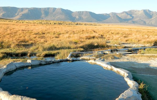
Mammoth Hot Springs

secluded tub

Hot Springs near Mammoth

Eastern Sierra Destination:
June Lake and Mammoth Lakes, CA

The Eastern Sierra Nevada mountains run the length of US Highway 395, through most of the eastern side of California. Mammoth mountain is a volcano, so naturally hot springs come with the package. These hot tub destinations listed here are mostly part of the Long Valley Caldera, an ancient volcanic table land. North of Bishop and near the snow ski destination towns of June Lake and Mammoth, California in Mono County, California.
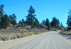
Hot Springs Dirt Road

(This region is not to be confused with Mammoth Hot Springs in Yellowstone National Park, nor the Mammoth Site in Hot Springs, South Dakota.)

Backroads Camping is allowed throughout Inyo National Forest, but there is private ranch lands mixed in w/ public lands. Respect property boundaries, and speed limits around gates and intersections.

Camp sites are not located next to the soaking tubs. A few may be within walking distance. Parking is often limited at these remote, public use hot pools. Total Escape TIP: Behind Lake Crowley: abundant, free camping – wide graded dirt roads (RV and passenger car suitable). Inyo National Forest Map is recommended.

Eastside of Highway 395

Casa Diablo Hot Springs near the Mammoth exit, is a location noted on most maps, but this seems to be the geothermal power plant for the region. If you are looking for hot springs tubs to soak in, you’ll need to get off the main drag for those beauties, way off the highway.

On to dirt roads

Hot Creek

Inyo Forest Road #3S45
Hot Creek Hatchery Road

(near Mammoth Airport)
Minimal dirt road driving. A very popular spot where hot springs are located within the big creek, so you can feel cold and hot water flowing by you. Scalding can occur near vents underwater, so use caution when wading. Large parking lot overlooks the soaking area and creek canyon. Swimsuits required.

Hot Creek Hot Springs: Hot Creek Geological Site

sierraminipano

Benton Crossing Road
leads east, around Lake Crowley, to the small town and camping resort and inn of Benton Hot Springs

Inyo Forest Road #2S84
Benton Crossing Road

This rural intersection at US Hwy 395 is known for the little green church on the corner. Turn east off the highway on to this road > BENTON CROSSING.

Pull over, get out and stretch. Look at your maps, get the GPS out and then start your exploring. First timers might be able to find a soaking tub within half an hour, if you don’t get lost. Or get stuck in a muddy spot, which is easy to do at night.

Hill Top Hot Springs
Latitude: 37.6642
Longitude: 118.7883
Elevation: 6873′
also known as – “Hilltop, Pulky’s Pool”

Willy’s Hot Spring
Latitude: 37.6591
Longitude: 118.8425
also known as – “Wild Willie’s, Crowley Springs”
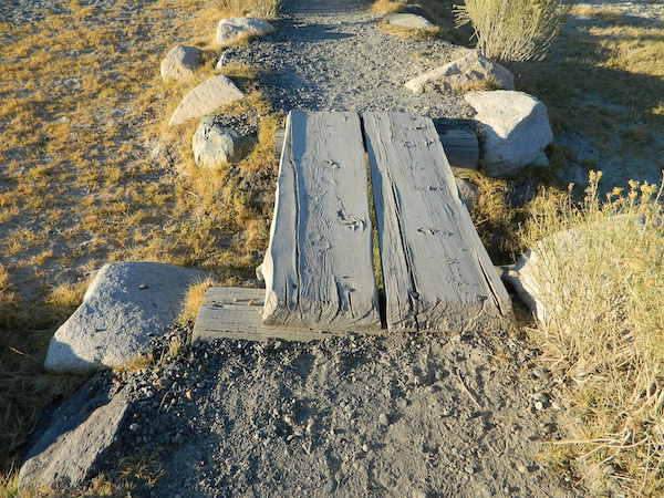
trail to springs

Inyo Forest Road #2S07

Whitmore Tubs Road
a major graded dirt road that leads north off of the paved road, becomes Owens River Road and connects back to US 395 many miles to the north.

Several primitive hot tubs can be found on dirt roads in this region, which lead off the main paved road. At night these remote pools can be hard to find – with no signage, no street lights and pitch black darkness. Plus the mud bogs and grassy fields all around make the landscape difficult to navigate. If you plan a nighttime arrival, then plan to drive in slowly around the pools, have your GPS handy and look for steam in the air. Cut your headlights if you see other cars or people, and proceed slowly.

Be considerate of others and friendly. Do not litter. Do not crank up music. Wait for others to finish soaking and do not rush anybody. Give others space and privacy to get dressed.

Crab Cooker Hot Springs
Latitude: 37.6633
Longitude: -118.7995
Elevation: 6857′
also known as – “Fleur de Lys”

Shepard Hot Springs
Latitude: 37.6668
Longitude: -118.8025
Elevation: 6940′
also known as – “Shepard Springs”

Rock Tub Hot Springs
Latitude: 37.6474
Longitude: -118.8080
Elevation: 6990′
also known as – “The Rock Circle”

Little Hot Creek
Latitude: 37.6902
Longitude: -118.8424
Elevation: 7000′
Inyo Forest Road #3S138
high clearance vehicle required

showers

Whitmore Pool

Whitmore Hot Springs
904 Benton Crossing Road
Mono County Park w/ public swimming pool & day use fee
Phone: 760-935-4222
also known as – “Whitmore Tubs, Whitmore Springs”
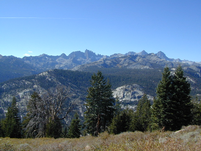
Minarets at Mammoth
Minarets at Mammoth

The Backside

Inyo Forest Road #3S11
Minaret Summit Rd

This wilderness region is located the on the west side of Mammoth Mountain, accessible by the paved Minaret Summit Road, which closes due to deep snow and is generally only open during summer months.

Red’s Meadow Hot Springs

developed campground w/ wooden sheds for baths: showers & tubs.
near Devil’s Postpile National Monument
Latitude: 37.618
Longitude: 119.074
Elevation: 7000′
also known as – “Red’s Meadow Hot Showers”

Iva Bell Hot Springs
remote, wilderness; hike-in hot springs.
south of Mammoth & Rainbow Falls, via trail #2622
Latitude: 37.532
Longitude: 119.025
Elevation: 7400′
also known as – “Fish Creek Hot Springs”

califrepublic

see more primitive hot springs in California

see hot spring camps in California

see resort hot springs in California

Campgrounds in Mendocino

Mendocino Campgrounds

Camping in Northern California / Camp Mendo

foutspicnic

2018 & 2019
Hit especially hard by wildfires recently. Certain campgrounds and roads are closed to the public, due to the significant fire damage.

Mendocino National Forest has an abundance of small campgrounds and 4×4 camps, many of which, due to snow & elevation, can only be accessed in summer months. Many developed campgrounds are located on dirt roads, so know the road conditions before you get out there.

NOTE: all camps 2000′ elevation or lower are OPEN ALL YEAR LONG
Red text for OHV = off road use, dirt bikes, quads, 4x4s, trailers.

campground elev spots veg toilet water notes
Atchison Campground 4300′ 6 mixed yes creek road# 22N11
dispersed
Bear Creek Campground 2000′ 16 yes creek CLOSED
Cedar Camp Campground 4300′ 5 pines yes no No trailers, June-Oct
Davis Flat Campground 1700′ 28 vault no Fouts Springs OHV
Deer Valley Campground 3700′ 13 yes no Upper Lake
OHV
Dixie Glade Campground 3700′ 8 mixed yes no CLOSED
Eel River Campground 1500′ 16 oaks vault piped bike trails
Fouts Campground 1700′ 11 mixed vault piped Fouts Springs OHV
Georges Valley Campground 5000′ 3 no no Yolla Bolly Wilderness
Green Springs Campground 6000′ 4 pines yes spring Yolla Bolly Wilderness
Hammerhorn Lake Campground 3500′ 9 pines vault piped 1 handicap spot
Howard Lake Campground 3500′ 12 vault lake high clearance vehicle
Kingsley Glade Campground 4500′ 4 vault piped June-Oct
Letts Lake Campground 4500′ 44 no CLOSED
Little Doe Campground 3600′ 13 pines vault no June-Oct
Little Stony Campground 1500′ 8 pines vault no OHV trails
Lower Nye Campground 3300′ 6 mixed vault no May-Sept
Middle Creek Campground 2000′ 12 yes no Upper Lake
OHV
Mill Creek Campground 1700′ 5 yes no Fouts Springs OHV
Mill Valley Campground 4200′ 16 vault piped OHV trails
Navy Camp Campground 1800′ 20 vault piped PG&E Camp @
Lake Pillsbury
North Fork Campground 1700′ 10 oaks yes creek Snow Mountain
Oak Flat Campground 1700′ 12 pines yes no Lake Pillsbury
Old Mill Campground 3700′ 10 pines yes no narrow road
Plaskett Meadows Campground 6000′ 35 pines yes piped Plaskett Ridge
Penny Pines Campground 3600′ 5 pines yes piped Upper Lake OHV
Pogie Point Campground 1900′ 50 oaks yes piped Lake Pillsbury
Soldier Ridge Campground 6000′ 3 no no Yolla Bolly Wilderness
South Fork Campground 1700′ 4 vault creek Stony Creek, OHV
Sugar Spring Campground 5400′ 3 vault no Burnt Creek / Eel River
Sugarfoot Glade Campground 4200′ 4 mixed vault creek May-Nov
Sunset Campground 1800′ 54 mixed vault creek May-Nov
Surveyor Camp 3900′ 2 yes no OHV, Rd# 7
Sycamore Grove Camp 300′ 30 mixed yes no Red Bluff,
open all yr
Three Prong Campground 4800′ 6 pine vault piped June-Oct
Wells Cabin Campground 6300′ 15 pines vault piped July-Oct
Whitlock Campground 4300′ 4 mixed vault piped June-Oct

OFF-ROADERS NOTE: 3 OHV camps are located in higher elevations; the rest are 2000′ or lower and open year round. Always check with National Forest for road closures and conditions.

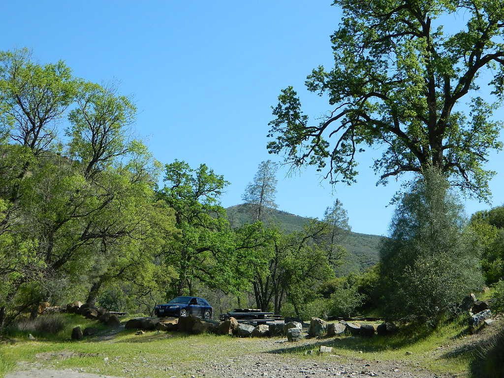
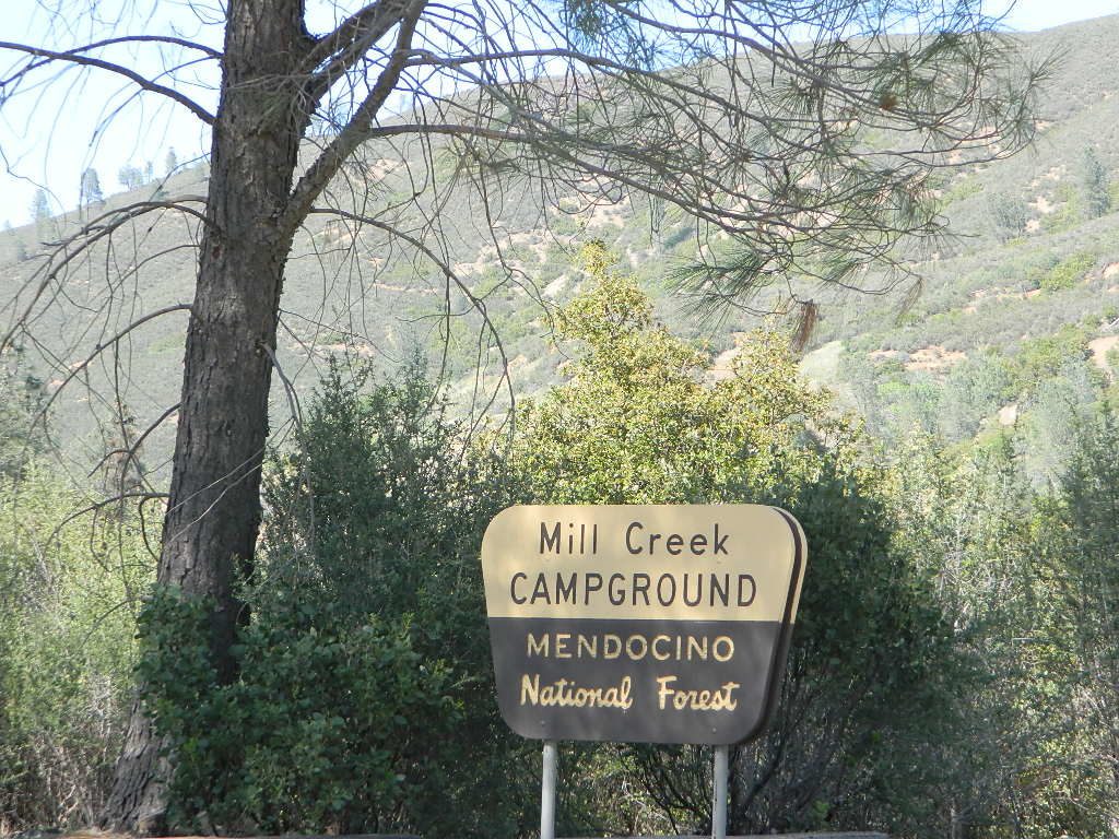
Mill Creek Camp @ Mendo
Mill Creek Camp @ Fouts Springs

Mendocino Ranger Stations can be found on link below

NFSMendocino National Forest


MENDO GROUP CAMPGROUNDS
(reservations required)

GRAY PINE GROUP CAMP @ Stonyford

MASTERSON GROUP CAMP @  Plaskett Lakegroup campground

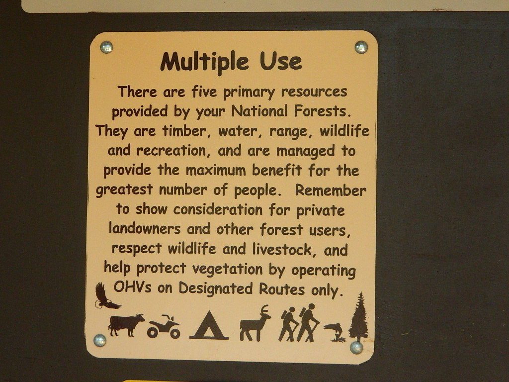
multiuse_sign

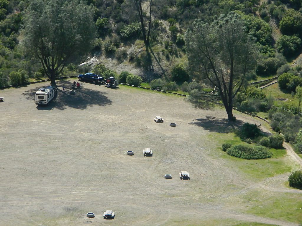
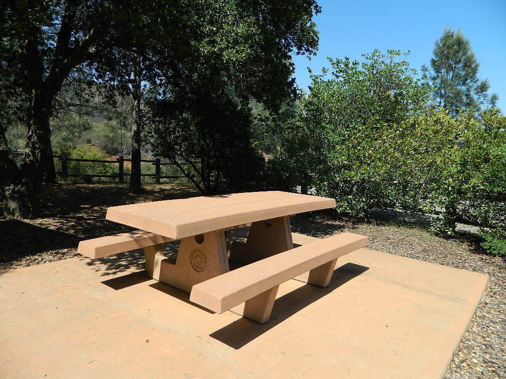
cement_table

group camps Mendocino

Mendocino & North Coast Maps

Cuyama Valley

Cuyama River Valley, California

Ventucopa WineriesNorth of Ojai, Highway 33 meets Highway 166: Ozena, Ventucopa, & New Cuyama make up the 3 small communities inside the Cuyama River Valley, located in south of the San Joaquin (California’s Central) Valley.

On the outter edge of Santa Barbara County, where Kern, San Luis Obispo & Ventura counties all meet, you can find great solitude, a large red dirt, high desert wash & plenty rural trails. Off-roading, backcountry camping, hiking, mountain biking all over this region.

Ozena Ranger Station sits at the south end of Cuyama, at the intersection of Lockwood Valley Rd & Hwy 33. Ozena Campground with 10 spots @ 3660′ elevation, is to the east off Lockwood.

Nettle Springs Campground (8 spots @ 4400′ elevation) can be accessed via Apache Canyon, a 10 mile long dirt road# 8N06, off Hwy 33

2 smaller campgrounds – Tinta and Ranch Nuevo are on the west side of Hwy 33 & may require a high clearance vehicle to reach. Trails out of these campgrounds lead to the Dick Smith Wilderness.

Chumash Wilderness is just east of Ventucopa, as Los Padres National Forest surround this agricultural valley. Quatal Canyon and Quatal Wash reach from the upper elevations of pinyon pines near Mount Able to Cuyama river bed below, as Cerro Noroeste Road skirts the northern rim of the impressive red rock canyon. Toad Spring Campground is at the top. Apache Saddle and Pine Mountain Club are just east of Quatal Cyn.

Cuyama riverbed follows Highway 33 and then turns west, following Highway 166, past the ranch lands, the volcano hills and notorious Rock Front Ranch.

All the pavement around Cuyama is very popular amongst motorcyclists. Scenic touring kinda roads. A very nice 100 mile loop trip is from Pine Mountain Club – W on Mil Potrero Hwy, W on Cerro Noroeste Rd, W on Hwy 166, S on Hwy 33, East on Lockwood Valley Road – back to Frazier Park & I-5 Lebec.

Mahutasan, the indian sweat lodge and the extremely rustic Sage Brush Annies Restaurant w/ winery are the highlights of this rural agriculture valley called Ventucopa CA. Cuyama Peak and fire lookout tower overlooks the whole Cuayama Valley & can be accessed via Santa Barbara Canyon Rd. 4×4 may be required in certain spots. This lovely oak and manzanita lined canyon was scorched by the Zaca Wildfire in mid 2007.

  • Cuyama Wineries
  • Pistacio Orchards
  • Quatal Canyon
  • Ballinger OHV Park

helpful maps of the region –

towns in the valley –

towns close by –


View Larger Map

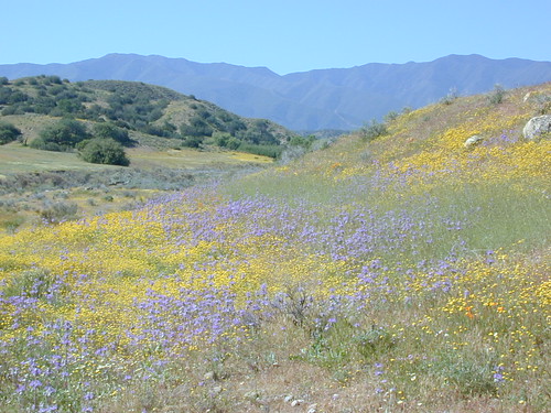
Hwy 166 Wildflowers, School House Canyon


22S12 – Sequoia NF

open camping

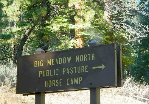
Big Meadow: Forest Road# 22S12 – Sequoia National Forest

Take Sierra Hwy. N of Kernville, past Fairview & over the Johnsondale bridge; Right turn on Sherman’s Pass Road & drive up to a signed intersection (near a snow gate). NOTE: This area may not be accessible during winter months.

Turn right on Big Meadow Road, aka Forest Service Rd# 22S12. This is a very long road which is paved for the first few miles. 22S12 becomes a graded dirt road, suitable for horse trailers; it forks off to other smaller dirt roads, as it progresses through the forests & dead ends back by Cannell Meadow. The main routes are passenger car accessible, but some of the smaller dirt roads can get quite bumpy. A truck or SUV would be advisable to explore these secondary routes. Certain areas have suffered from wildfires 2000-2002.

Big Meadow Sequoia

Horses & equestrian camping are very popular in this region. There is also a fair amount of backpackers heading into the Domeland Wilderness and mountain bikers looking for premium backcountry rides, away from the crowds at the Kern River.

NFS developed Horse Meadow Campground can be found on the right via road# 23S08. Located at 7400′ elevation w/ 41 spots, in the forest. Trailhead to Salmon Creek leads directly from camp.

SPUR – side routes include:

  • #23S14 Cherry Hill – a few camp spots near creek & a meadow with views at the very end
  • #23S41 Poison Meadow
  • #23S13 Salmon Creek
  • #22S07 Big Meadow – loop road around the “Big Meadow”. Plenty of primitive camp sites around Big Meadow, but they are the first ones to fill up during a popular summer weekend. The region is perfect for backpackers or day hikers wanting to access Manter Mdw. & the Domelands Wilderness.
  • #24S13 feeds the last stretch of road to Rattlesnake Meadow. Taylor Creek near 24S43, features numerous waterfalls leading to the South Fork of the Kern River
  • #24S12 Cannell Meadow & Pine Flat. The Cannell Meadow National Recreation Trail runs thru here, from Big Meadow down to Kernville, CA.

North Meadow

Sequoia National Forest

Sequoia National Forest MAP

DOME LAND Wilderness MAP

Nearby towns include:

Mahogany Flat Campground

Mahogany Flat – Death Valley National Park

mahgsign

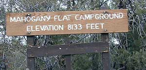
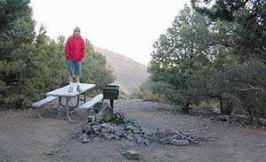
If you want trees in your Death Valley visit, than this is it. Mahogany Flats Campground is located in a juniper forest on a ridge line of the Panamint Mountains. Often windy camp sites with the highest elevation campground in the area. If you seek to get away from the desert heat, this may be the best option. Spectacular views to the east, over the Death Valley basin. Access to hiking, backpacking, off roading, mountaineering opportunities. A great place to escape summer heat, but be warned of thunderstorms. Picnic table, fire ring, pit toilets – maintained with NPS.

  • Elevation: 8,133′
  • Number of Sites: 10
  • Vehicle Accessibility: High Clearance, recommended. No RVs or trailers. 4×4 needed in heavy rain or snow.
  • Campsites Reservation: No
  • Length of Stay: 30 Days
  • Season: March – November
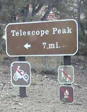
  • Trailheads: Telescope Peak & Tuber Canyon

greatspot_iDirections:

From Stovepipe Wells, follow Highway 190 W to Emigrant Canyon. Turn left on Wildrose Road and follow it thru the tight rocky canyon, climbing in elevation the whole way.

Passing Wildrose Campground where the pavement ends, past charcoal kilns, climbing in elevation past the pinyon pines at Thorndike Campground, up, up, way up Mahogany Flat Road.

From Panamint Valley, take Wildrose Road up. Turn right to Mahogany Flat Rd and proceed on the dirt road to the top.

View Larger Map

The Telescope Peak mountain range is the only place in the lower 48, where you can see both the tallest peak (Mt Whitney) and the lowest point (Badwater Death Valley).

Death Valley MAPS –

Death Valley Park – NatGeo
Death Valley Topo Map – Tom Harrison

Nearby attractions:

Death Valley National Park
Panamint Valley
Ballarat Ghost Town
Skidoo Town Site
Charcoal Kilns
Telescope Peak
Tuber Canyon
Tucki Mine

DSCN0053

telescopehike