Tag Archives: ridge

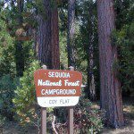
Coy Flat Campground

Coy Flat Camping
Giant Sequoia National Monument

Camp Nelson California

se Campground

Southern Sierra mountains and the Giant Sequoias, inside Sequoia National Forest. In the Camp Nelson area, south of the busy National Parks.

SEPT 2021: Closed due to the Windy Fire

GIANT SEQUOIA HWY 190 – Western Divide Highway is the 7000′ ridge line that separates the Upper Kern River from the great Central Valley to the west.

From the San Joaquin Valley – get to Porterville or Springville, continue up the mountain on the main highway, to the paved road turn off (Road #22S94) on the right side of the highway;

After Pierpoint Springs and before Camp Nelson. This quiet campground is located off the highway more than a mile, so traffic noise will not be an issue for the light sleepers. (Unless of course, a loud 4×4 rig screams by at midnight headed to the backwoods, or a horse trailer cruises by at 5am). This camp does border the Tule River Indian Reservation.
Western Divide Campground
Western Divide Highway 190
Giant Sequoia Campground

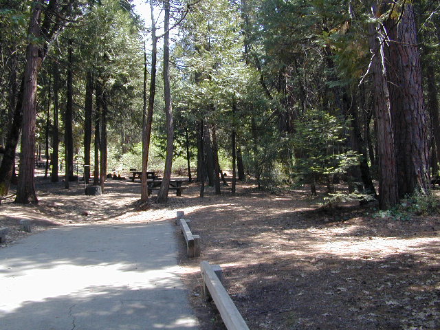
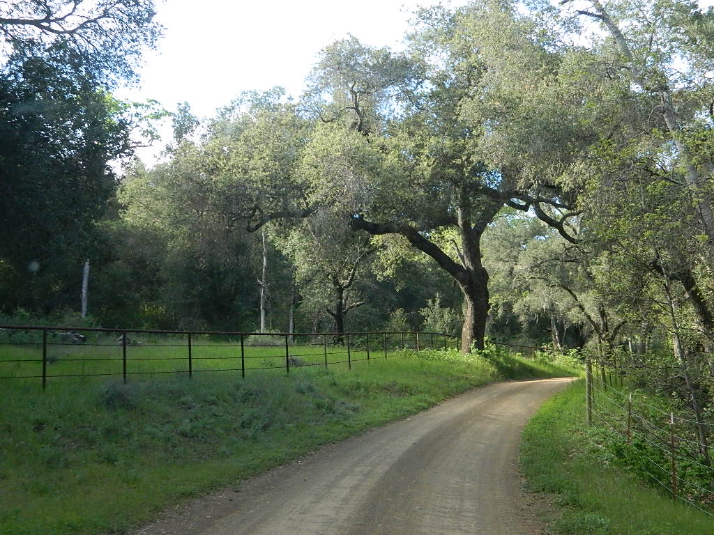
Sequoia Road #22S94 is a loop road leading to many forest meadows, groves, primitive camps and trailhead destinations. Bear Creek and Coy Creek flow near CoyFlat Campground, which both merge north into the Middle Fork of the Tule River @ the highway.

Belknap Grove is nearby, with Black Mountain Grove a few miles further on the dirt back road (Road #22S94) as it continues to Bateman Ridge and Road #21S12, near the Tule Indian lands. Mountain biking, rock climbing, backpacking and hiking all great in this region.

22S94 continues in forest to 8500′ elevation @ Windy Gap, where the Summit National Recreation Trail intersects road. Popular trail among horse riders. 22S94 connects back to Western Divide Highway, in between Ponderosa and Trail of 100 Giants. Awesome loop drive for those seeking seclusion on the dirt roads, away from the tourists and RVs. Call ahead to make sure that the dirt roads and gates are open, before you plan a weekend vacation around it.

COY FLAT CAMPGROUND camping

Elevation: 5,000′
Number of Sites: 19
Reservations: YesCoyFlat Campground Sequoia NF
Sites Available: First come, First serve
Vehicle Accessibility: Vehicle 22 ft. max.
Length of Stay: 14 Days
Water: Piped; Seasonal creek nearby
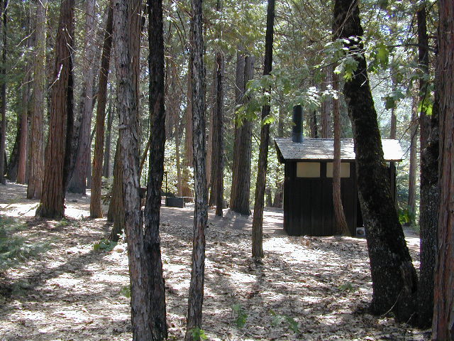
Toilet: Vault
Season: Closed for winter months
Fee: Yes
Operated By: National Forest Service
Closest Town: Camp Nelson, Califronia

Sequoia National Forest
Giant Sequoia Ranger Station
559-539-5230

Due to the spread of invasive insects, firewood from outside the area is not permitted. Help protect our forests by purchasing or collecting firewood at or near your camping destination and burning it on-site.
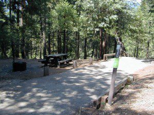
CoyFlat Sequoia
CoyFlat Campground – Giant Sequoia


32S13 – Los Padres NF

Sierra Madre Road
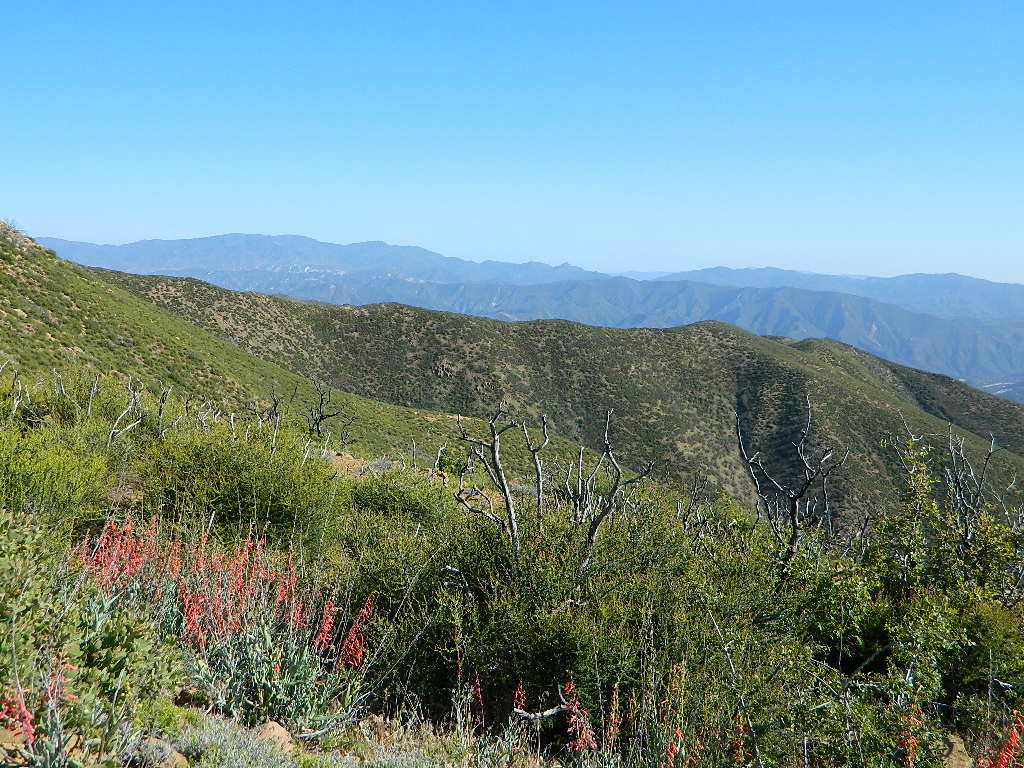
Sierra Madre Ridge, San Rafael Wilderness

Los Padres National Forest
Forest Road #32S13

off of Cuyama Valley Hwy 166

32S13 Sierra Madre Road

East of Santa Maria, CA – along Highway 166 (on the south side of the pavement) are several dirt roads that lead up to the main ridge road that access this part of Los Padres National Forest.

  • backpacking
  • camping
  • dirt bike trails
  • dirt roads
  • hiking
  • horse camping
  • mountain biking
  • off road routes
  • petroglyhs
  • wildflowers

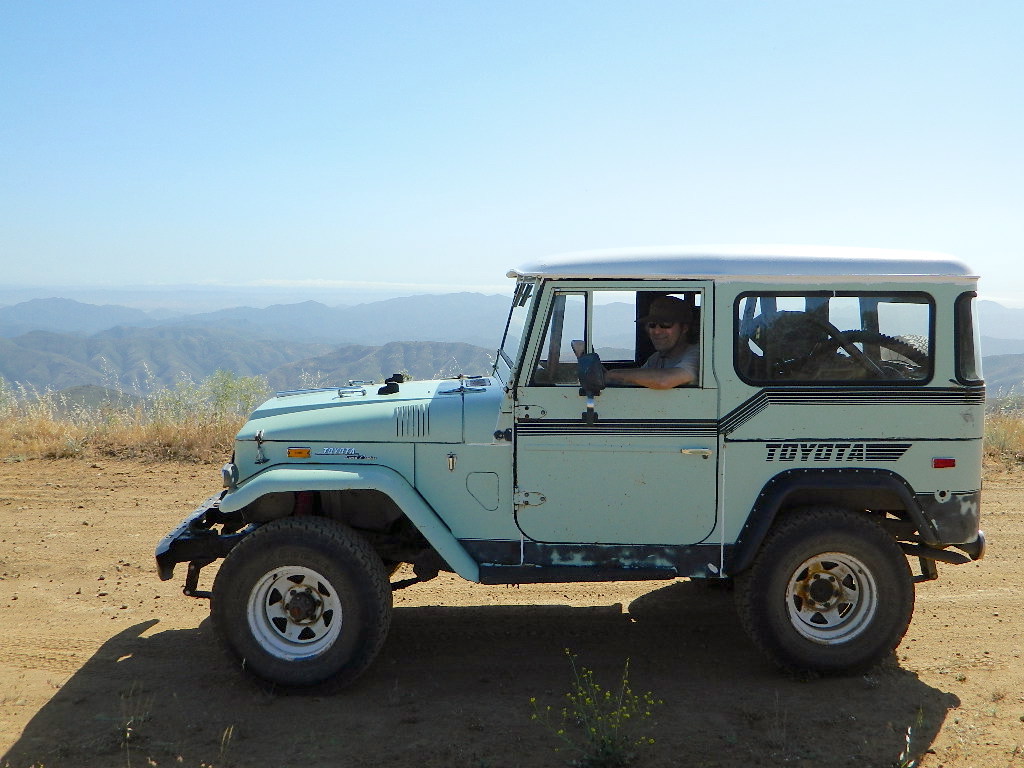
4WD not required, but high clearance is helpful. Open almost all year. Rainy season gate closures (at hwy) during winter months.

4x4

dirtbikes

cruiseronridge

Sierra Madre Mountains

Miranda Pine Mountain (elev. 4120′)
Timber Peak (elev. 4754′)
Peak Mountain (elev. 5843′)
McPherson Peak (elev. 5749′)
Samon Peak (elev. 6221′)

Sierra Madre Ridge is forest road #32S13, which parallels Hwy 166 (Cuyama River) for over 50 miles on the Sierra Madre Ridge at approx. 5000 feet elevation.

NOTE: A good stretch of this dirt road is closed to vehicle traffic. Although it connects to Santa Barbara Canyon near Ventucopa, you cannot drive it. Only hike or mountain bike!

Hog Pen Sign

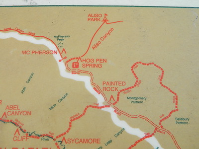
NFS Gate locked at the HOG PEN trailhead, and from there you can bike or walk all the way the other end at Santa Barbara Canyon near Cuayama Fire Lookout @ Dick Smith Wilderness

Still Standing

camp

Small campgrounds in the region:

off Highway 166
Miranda Pine Campground (on 32S13 @ 11N03)
Bates Canyon Campground (via Cottonwood Canyon Rd)
also known as White Oaks Campground
Aliso Canyon Campground (via Aliso Canyon Road)
not accessible by vehicle, from dirt road 32S13; only by trail

in the backcountry
Painted Rock Camp (hike-in)
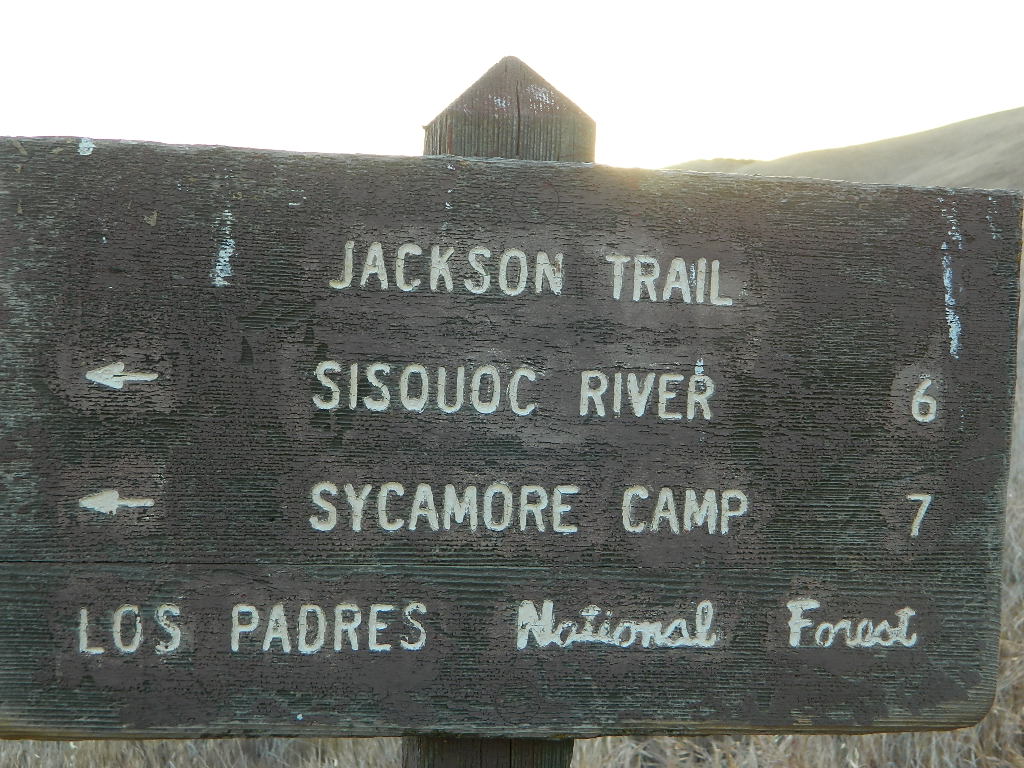
Sycamore Camp (hike-in)

high clearance, off road accessible
Horseshoe Springs (11N04)
Lazy Campground (11N04)
Wagon Flat Campground (11N03)
Barrel Springs (10N06)
Colson Canyon (11N04)

wildflower

coastridges

Highway 166 Cuyama River Valley
EAST San Luis Obispo County

Wildflowers Bloom: APRIL-MAY

mayflowers

redflora

San Rafael Wilderness

Sisquoc River
Native Rock Art
Sierra Madre Mountains

Rock Art Sign

MAPS of the Area:

hiker

Los Padres USFS MAP
Los Padres Topo Atlas
Los Padres West NatGeo Map
Dick Smith Wilderness Map

sisquocriver6nearby destinations: 

Cuyama Peak Fire Lookout
New Cuyama, CA

Rock Front Ranch 4×4
Santa Maria, CA
Ventucopa, CA

Best View Camp Sites

view campsite

Great Overlooks for Camping

Best View Camp Site in California 

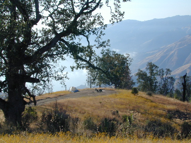
Overlook Camps, View Spot Camp Sites

This camp list is comprised of primitive camp sites and developed campgrounds with good views overlooking a large area (valley, town, canyon, desert, river, ocean). Many ideal spots may require dirt road driving, and a few might need a 4-wheel drive vehicle to reach.

Prewitt Ridge, Big Sur Coast

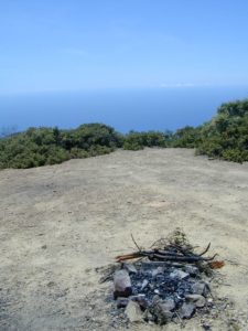
We were suggesting this very spot way back in 1999, well before anyone else was ‘blogging’ about it. This area is by far the best, free coastal camping on the Central Coastline of Big Sur. Dirt roads traverse 10 miles out to vacant ridges overlooking the Pacific, with steep hills down to the highway. Camp above the fog layer and above the crowds. Explore the beaches during the day, and camp above the traffic & crowds at night.

Dry brush is abundant on the mountains of Los Padres National Forest. Camp fire restrictions should be of utmost concern in this area, since wildfires burn here often. Camp fire permits are required for camping on the back roads, and much of the time camp fires are banned in this region. Call ahead to the rangers to find out the current conditions.

Swinger

Julia Pfieffer Burns State Park
Big Sur Coastline

Two prime walk-in camp sites, on a shady point, high above a beach cove w/ scenic waterfall.

Called “environmental camps” these highly desirable spots need advanced reservations w/ fees many months in advance. Tables, fire rings and a vault toilet. Bare bones basics, but the ideal location is worth it. A forested cliff on the edge of the ocean, high above a secluded cove. This location a can get windy if a storm moves in (generally October – March).

Los Padres National Forest

Kirk Creek Campground
on Highway 1 @ Nacimiento Road
Big Sur CA

Willow Creek Road # 23S01
primitive camping on dirt road, above Hwy 1 @ Gorda, CA

sunset watch

Reyes Peak Camping
North of Ojai, CA
Pine Mountain Summit, CA Hwy 33

Off Cerro Noroeste Road, W of Pine Mountain, CA

Above Santa Maria, Highway 166
West of New Cuyama, CA

  • Miranda Pines Campground @ 4100′ elev
    Located well off hwy. on Road #32S13

Mendocino National Forest

There are several primitive campsites off of M10 with views of chaparral and canyons. Just above Stonyford, CA, on the way up to Fouts Springs. Unfortunately Mendocino National Forest is may be closed for 2019 due Ranch Fire (wildfire 2018) w/ Snow Mountain Wilderness completely 100% burnt.

Planning more scouting of this region summer 2019. Stay tuned.

Angeles National Forest

  • Mount Pacifico Campground
    Angeles Forest Highway
  • Lightning Point Group Campground
    near Jackson Lake @ Hwy 2

Fire Safe Spot
Random ridge spot in Big Sur

john bull camp spot
john bull 4×4 camp

San Bernardino National Forest

Toro Peak Campground Rd# 7S02

toro_campsite

  • San Berdu has more than a few trail camps for 4×4 enthusiasts. Weekends can be busy all year long. Snow usually closes some routes. Pine forest in southern California means very tight campfire restrictions. All yellow post camp sites include table and a fire ring. Campfire permits are required.
  • East ridge line, rocky, dusty, 4WD-only route, the John Bull Trail (near Holcomb Valley) has ONE real awesome view camp spot with great spans over the Mojave desert w/ smog and city lights @ night.
  • Mesa Campground @ Silverwood Lake SRA

I-8 East of San Diego, CA

  • Larkin Campground
    McCain Valley BLM OHV
  • Mar Tar Awa above Viejas Casino
  • Sweetwater Summit Co Park San Diego

I-5 North of San Diego, CA

  • San Elijo Campground, San Elijo State Beach
    Coastal cliffs, overlooking beach and ocean
    Solana Beach, CA

S-22  East San Diego County

Montezuma Grade, overlooking Borrego Springs & Anza Borrego Desert

  • Culp Valleyboulders, primitive camps on dirt roads; better views off-road. Vault toilet. Few tables, no signs. Small campground at the highway is easy to find. Boulders and bouldering. Mountain biking and hiking. Wildflowers in spring.

providence

Interstate 15 & I-40 Mojave Desert

view spot mojave

US Hwy 395 Eastern Sierra

inside Death Valley National Park

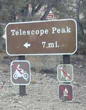
  • Mahogany Flat Campground steep dirt road access. Trailhead for tallest peak in the park, Telescope Peak (11,049′ elev)
  • Tucki Mine, 4×4 route. Unmarked dirt road inside Emigrant Canyon, off Wildrose Road.

inside Inyo National Forest

ohridgeview
oh ridge view

    • Coyote Flat @ Pinyon Boulders – 4×4 required, one primitive camp w/ great views overlooking the Owens Valley & peaks to the east. Coyote Flat has views toward the Sierra
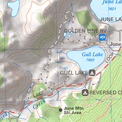
    • Oh! Ridge Campground Off the main highway 158, June Lake Loop
      (148 sites @ 7600′ elev.) near June Lake, CA
    • Onion Valley Campground – High Sierra @ 9200′ elevation. Trailhead to Kearsarge Pass. W of Independence, CA

4x4 Camps

Western Sierra Nevada Mountains
Sierra National Forest

cabin rental

NFSsee also – NFS Fire Lookouts & Rental Cabins
many of which have excellent views of the wilderness areas; a hike or climb may be necessary

Colorado River Camping

Multiple riverside RV havens, county parks, and campgrounds near Parker, AZ

Riverside RV parks in Blythe, CA

Riverside RV parks in Lake Havasu, CA

coloradoriverRV
colorado river camping


California Topo Maps

topo linesCalifornia Terrain

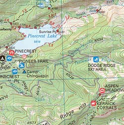
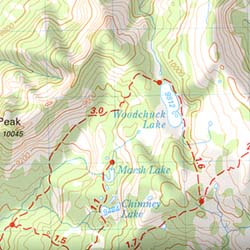
Topographical maps feature the terrain of a wilderness or hiking area, through colored shading & thin contour lines to represent elevations. Park boundaries, trail routes, trail heads & campgrounds are noted, as well as major landmarks like lakes, rivers, creeks, meadows, peaks, canyons, hot springs, waterfalls & all roads (dirt or paved).

Backpackers & hikers must rely on such maps for planning & trekking their journey. Hard copy, printed, waterproof maps are top choice, but topo maps now come in digital format for download as well. DanaMite has recently started including these digital map links within the Total Escape Map Shop – totalescape.net/shop/

Here in California we are lucky to have so much public land available to us for enjoyment. Numerous map vendors make maps for nearly all of the regions across California.

Affiliate Button

QUADS: 7.5 minute topographic quadrangle maps, available from the USGS, can be found online w/ Avenza Maps (often for free) and also, direct from the government site https://www.usgs.gov/products/maps/topo-maps

A while back, the NFS offered handy books of these sought-after topo maps. They were compiled into booklet form called an ATLAS, with sturdy covers & a spiral bound. Overall size is close to 9″x12″ & they are much easier to handle than the individual paper maps. Look for Forest Topo Atlases

List of topo maps available for California:

wilderness maps CA kings canyon

conradkid
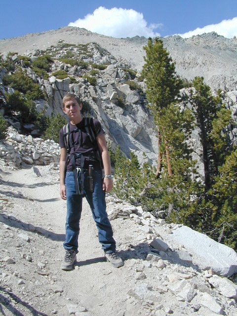
Hiking the High Sierra @ 12,000 feet above sea level

20N01- Mendo NF

20N01

Forest Road #20N01 – Mendo National Forest

Road 308 Ivory Mill Road. Located on the EAST SIDE of the coastal mountain range, west of Stony Gorge Reservoir.

South Fork of Elk Creek, California

Lodoga Stonyford Rd #306 – also known as just plain Stonyford Road, skirts the coastal foothills in a north south direction, on the east side of the range. Oaks and ranches, livestock grazing and fences everywhere. CHP out in force, so watch your speed (55). Public lands and forests are up the hill, above the valley, on the dirt roads. Free camping, off roading, hiking, creeks, lakes, mountains.

Drive up paved Road 308 passing the ranch lands and private properties.

Just inside the National Forest boundary, 308 peels off sharply to the left, uphill and steep, super sandy. The views over the valley, hills and reservoir are epic, but the dirt road is fluffy dry dirt, tight curves, no guardrails. A long and winding track, with very little spot to turn around. Maybe designated as OHV route?

This whole area is where the Ranch Fire of 2018 was burning; contained at road 308. The wildfire burnt half a million acres in Mendo NF (the largest fire in California history). Some of these roads may be closed off now. Call the rangers for current, up-to-date accessibility!

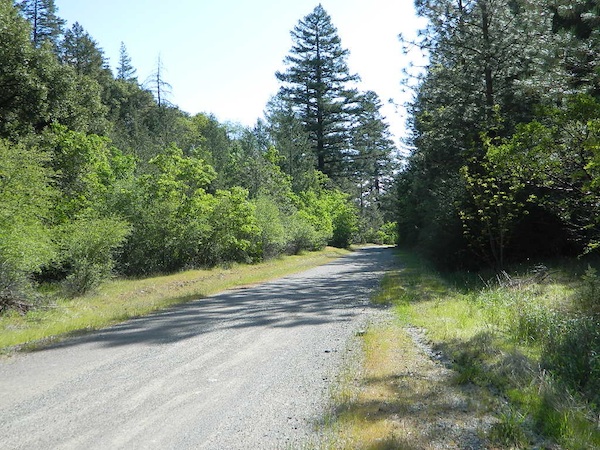
So… back at the National Forest boundary: Straight. Take the right fork instead, which goes straight into the forested canyon, up the creek. Elk Creek, south fork coming from the higher peaks above. This pleasant forest drive is called Mendocino Rd #20N01 and it climbs upward with hairpin turns; continues up to the top of the forested ridges @ 5000’+ elevation.

Forest Oaks Mendo

Wildflowers in Spring. Snow in winter. This back route may have been paved once in 1960, but it is nearly back to dirt again in most sections. Suitable for passenger car travel at slow speeds. Unless of course, it is raining or snowing, then 4WD may be best. And being that this is real Northern California territory, rain and snow are annual.

Campfires on the Back Roads
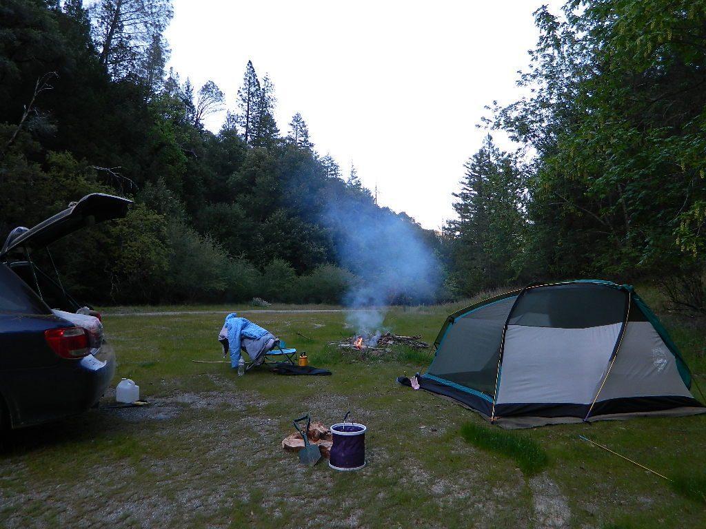
SPRINGTIME: Free Camps and Campfires on the Back Roads

Dispersed camping is allowed in this region with a valid fire permit.

Various camping spots near roadside, after mile 8. Reset trip meter when your turn off main drag (Lodoga Stonyford Road).

Mendo National Forest
Mendocino National Forest Map

Snow Mountains Wilderness
Fouts Springs

towns nearby:

Alder Springs
Elk Creek, CA
Stonyford
Williams, CA
Willows, CA

Reyes Peak

CA 33 N
Ojai Camping
North of Ojai, CA

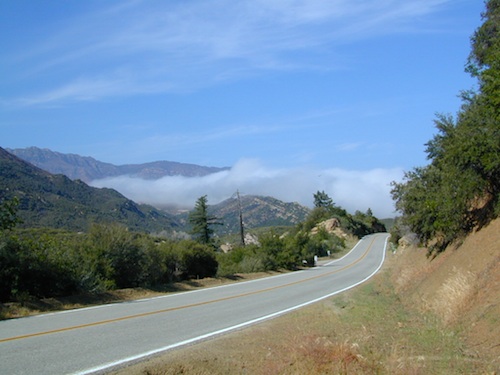
Camp out among tall pines, well above the coastal fog.
Los Padres National Forest Road #6N06

Ojai, CA – NORTH on HWY 33
a very scenic drive, in North Los Angeles County

Coastal Foothills

Near the Pine Mountain Summit (elev 5080′) on California Highway 33, the small sign only reads PINE MTN and points east, to a rugged side road. By far one of the worst paved roads around.

This Reyes Pine Mountain, should not to be mistaken for the golf course community of Pine Mountain Club, many miles north of here, around the other side of Mount Abel.

This is Reyes Peak, also known as Pine Mountain Ridge “north of Ojai”, on the sorta paved Pine Mountain Road. (Los Padres National Forest Rd # 6N06)

overozena
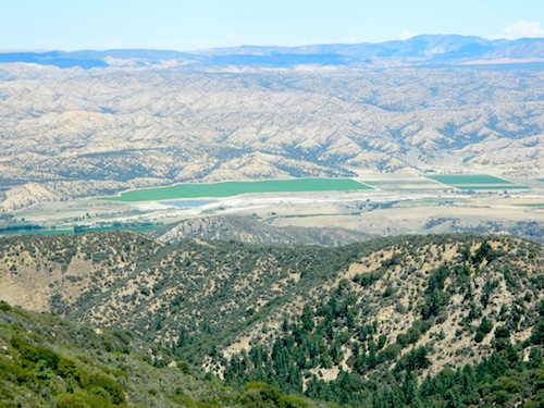
The view above is from one huge dirt pull out, on the left – over looking Ozena Valley, on the west end of Lockwood Valley Rd. Motorhomes, trailers, off-roaders and hunters like this as a last minute camp site, very close to the highway.

If your vehicle can endure 9 long miles of poor pavement, pot-holed roads, then maybe you can find seclusion back in the woods around here.

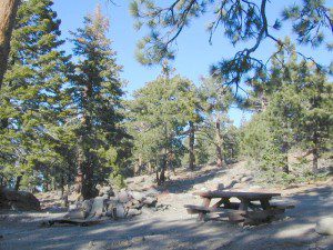
Six or more primitive campsites, spread out along a forested ridge line (around 5000′ elevation). Tables and fire rings only. No fees, no toilets. Bring a shovel and plenty water. No pipes, no running water up here.

The scattered camp sites are located far enough away from each other, that the location provides some privacy and still relatively close to town. Some sites are in forested settings, while others have big boulders, but are exposed to wind and sun. Although these few sky view camps are perfect for the stargazers.

Dark night skies can be okay, if the coastal fog stays low. Neighboring Mount Pinos is all paved – usually best choice for RV campers w/ telescopes, who need large areas of flat level ground.

reyespeakcamp

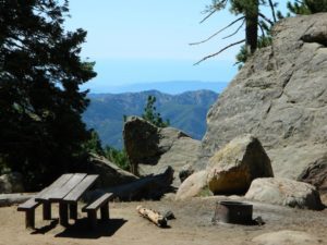
One particular camp site is located at a very decent view spot. Boulders, pine trees and mountain views to the south. Click the image above to expand.

PRIMITIVE CAMPGROUNDS
Campfire permits are required.

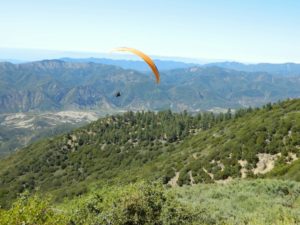
Launch Spot

The end of the road is a top destination LAUNCH spot for hang gliders & para-sailers. Watch them jump on YouTube compliments of DanaMite.

Youtube


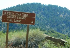
The hiking Trailhead for Reyes Peak and the Chorro Grande Trail #23W05 are also at the end of this dead end road #6N06. Reyes Peak Trail leads east, out to 7510′ elevation, overlooking the whole lower Los Padres region – Lockwood Valley, Ozena, Piedra Blanca, Sespe Gorge, Potrero Seco.

reyespeaktrail

Get outside this weekend. There are no more excuses!

MAPS: Los Padres National Forest Maps

NEAREST TOWNS:

Mahogany Flat Campground

Mahogany Flat – Death Valley National Park

mahgsign

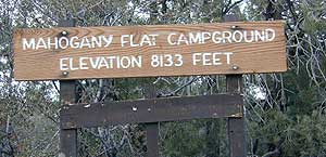
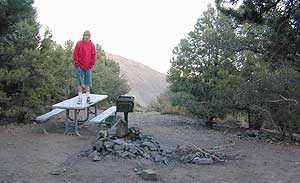
If you want trees in your Death Valley visit, than this is it. Mahogany Flats Campground is located in a juniper forest on a ridge line of the Panamint Mountains. Often windy camp sites with the highest elevation campground in the area. If you seek to get away from the desert heat, this may be the best option. Spectacular views to the east, over the Death Valley basin. Access to hiking, backpacking, off roading, mountaineering opportunities. A great place to escape summer heat, but be warned of thunderstorms. Picnic table, fire ring, pit toilets – maintained with NPS.

  • Elevation: 8,133′
  • Number of Sites: 10
  • Vehicle Accessibility: High Clearance, recommended. No RVs or trailers. 4×4 needed in heavy rain or snow.
  • Campsites Reservation: No
  • Length of Stay: 30 Days
  • Season: March – November
  • Trailheads: Telescope Peak & Tuber Canyon

greatspot_iDirections:

From Stovepipe Wells, follow Highway 190 W to Emigrant Canyon. Turn left on Wildrose Road and follow it thru the tight rocky canyon, climbing in elevation the whole way.

Passing Wildrose Campground where the pavement ends, past charcoal kilns, climbing in elevation past the pinyon pines at Thorndike Campground, up, up, way up Mahogany Flat Road.

From Panamint Valley, take Wildrose Road up. Turn right to Mahogany Flat Rd and proceed on the dirt road to the top.

View Larger Map

The Telescope Peak mountain range is the only place in the lower 48, where you can see both the tallest peak (Mt Whitney) and the lowest point (Badwater Death Valley).

Death Valley MAPS –

Death Valley Park – NatGeo
Death Valley Topo Map – Tom Harrison

Nearby attractions:

Death Valley National Park
Panamint Valley
Ballarat Ghost Town
Skidoo Town Site
Charcoal Kilns
Telescope Peak
Tuber Canyon
Tucki Mine

DSCN0053

telescopehike

Garcia Wilderness

Garcia Wilderness, Los Padres NF

14,100 acres
Garcia Peak – 3146′ elevation
Los Padres National Forest
Huasna River
Pozo Creek

himtncampgroundcampgrounds nearby –

American Canyon Campground
Hi Mountain Campground
La Panza Campground
Lake Lopez Campground
Navajo Campground

trailheads for Garcia Wilderness

  • Hi Mtn
  • Santa Lucia
  • Garcia OHV

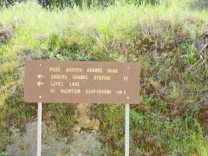
POZO ROAD is also known as

  • Pozo La Panza Rd
  • Hi Mountain Rd
  • Pozo Arroyo Grande Rd

San Luis Obispo’s Los Padres Pozo Rd is a 4×4 route that accesses the Garcia Wilderness; the dirt route connects Lake Lopez to Pozo Saloon, out near Santa Margarita. Los Padres National Forest 

Located inland from the Pismo Coast in south San Luis Obispo county.
Garcia Peak OHV Route, off Pozo Road behind Lake Lopez, Arroyo Grande, CA

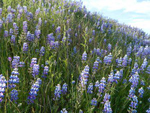
  • backpackingLupine on Pozo Rd
  • camping
  • hiking
  • mountain biking
  • off roading
  • waterfalls
  • wildflowers

Steep lush coastal mountains, rugged, remote landscapes close to Central Coast San Luis Obispo.

Garcia Ridge Road #30S18

Garcia Ridge Trail #15E11

Hi Mountain Road #30S11


DSCN5297

also nearby – Machesna Mountains Wilderness and Santa Lucia Wilderness