Tag Archives: forest roads

California Off Road Maps

Jeeping

Dirt roads, backroads, desert trails, OHV routes, single tracks, dunes, fire roads, gravel roads, 4×4 roads

When you wanna explore a new area, California has plenty of public land to offer. Off Road Maps can get you away from the crowds & the main staging areas. Maps can show you prime areas to ride & camp that you may not have ever imagined. Secluded, wide open, or freeway close. Terrain – the endless deserts, the mountain foothills, the higher hills , way above the city. The choice is yours.

Whether you seek secluded stream side camp sites, with some fishing or a dusty, long, desert trail that spans the entire Mojave desert, you can find these secret spots with good old fashioned topographic maps. Hard copies! The real deal. No cell signal? No problem.
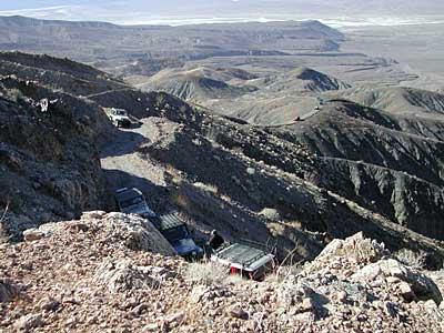
4x4 routes

4×4 Panamint Valley has numerous canyons & ridges to conquer

our random list
California off-roading maps:

Jeep Roads Atlas
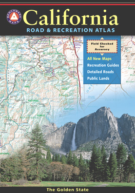
Benchmark California Atlas


The most trusted full-state book-atlas that Total Escape recommends. When you must have a (hard copy) map for local road trips – Benchmark Atlas is the best one by far.

NFS, USDA
NFSlogo
Forest Atlas:
National Forest Topo Atlas
Spiral bound book of all topographic quads, of select National Forests in California.
delorme
DeLorme California Gazetteer

National Forest Service State Parks California BLM backroads camping jeeping

  • SAN BERNARDINO OHV MAP (outta print)
  • HUNGRY VALLEY OHV MAP (outta print)
  • ANGELES FOREST OHV MAP (outta print)
  • MOUNT PINOS OHV TRAILS (outta print)
  • ROCK CREEK OHV Eldorado

NorCal Backroads & 4-Wheel Drive Trails (book)

SoCal Backroads & 4-Wheel Drive Trails (book)

OHV maps California

California Off Road Areas


Awesome California locations w/ off-road trails nearby. DanaMite has compiled a list of first-hand knowledge information, links, photos, campsites, maps, all revolving around rural California. Check out the ever growing list and get ready to explore the back roads, like never before.

PDF Off Road Maps


OHV area, motor vehicle use, 4×4 camps, dirt trails, forest routes; Download maps for various off-roading areas in California.

Quatal Canyon

What the heck is it ???

4WD = 4 wheel drive
4×4 = (same as above)

2WD = 2 wheel drive
4×2 = (same as above)

AWD = All wheel drive
SUV = Sport Utility Vehicle

MTB = Mountain Bike
MX = Motocross (dirt bike motorcycle)
SNOMO = Snow Mobile (sled machine)

GAS-POWERED RECREATION: The past two decades have emerged with vehicle redesigns from well known brands, creating a number of new “utility vehicles” for the sport of off-roading (otherwise known as, burning gasoline while recreating in the outdoors). Here is a breakdown on the acronyms, but they all basically refer to much of the same “off road type vehicles”.

ATV = All Terrain Vehicle (quad)
MOHUV = Multipurpose Off-Highway Utility Vehicle
ROPS = Roll Over Protection System
ROV = Recreational Off-Highway Vehicle
RUV = Recreational Utility Vehicle
SxS = Side by Side Vehicle (2 seated)
SSV = (same as above)
UTV = Utility Task Vehicle

https://en.wikipedia.org/wiki/All-terrain_vehicle
https://en.wikipedia.org/wiki/Side_by_Side_(UTV)

Common abbreviations for off-road on public lands:

OHV – Off Highway Vehicle
SVRA – State Vehicular Recreation Areas
BLM – Bureau of Land Management
NFS – National Forest (USDA)
MVUM – motor vehicle use map (NFS)

PVT – private land / keep out
MTR – motorized

RD – road
CO – county
RTE – route
SR – state route
FR – forest route / road
EXT – exit
CK – creek
EL – elevation
MT – mountain
STA – station (ranger/fire station)
PO – post office
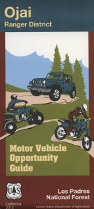
Big Bear Backroads

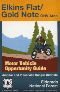
Ojai Map Elkins Flat

Around 2012 the National Forest Service printed up a bunch of nice off-road maps for various popular regions of California. Oddly, they told me not to sell them and I never heard anything about them again after that. Not even sure if these above are available to the public, but if you dig around you might find ’em. Call the rangers, they might know.

off road maps

If interested, you could call the ranger station and ask about any local off-road maps, and availability. Mostly they have freebie one page print-outs, black & white — to keep the crowds where they want them. Other times they might have real color, printed maps for sale at the station. Maps that can get you deeper into the terrain, with wild edges of reality nearby. 4×4 maps, OHV map, MVUM

BLM Maps (Bureau of Land Management)

Government agency that manages large amounts of California land. Public lands that do not fall into the National Forest or National Park or State Park realm. BLM oversees some mountain areas, river canyons and primarily, desert regions within California. Visit a local BLM office to see the selection of area maps.
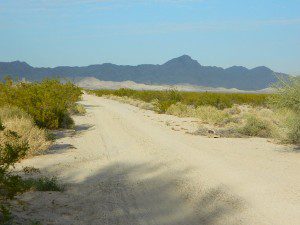
Turtle Mountain Rd
Turtle Mountain Road

Decent & FREE: dirt road maps can be found at BLM ranger station, south of NEEDLES, on US Hwy 95. Explore Turtle Mountain and find free camping IN ROUTE; Eastern California Desert.

Off-Road Maps PDF

Off Pavement California

PDF Off-Road Maps for California

Printable, downloadable
“Portable Document Forms” collected from various sources.

Anza Borrego Ocotillo Wells Map
https://totalescape.com/tripez/PDFs/ocotillowells.pdf

Burney Falls Back Roads
https://totalescape.com/tripez/PDFs/burneyfalls.pdf

Death Valley Overview Road Map
https://totalescape.com/tripez/PDFs/DEATHVALLEYmap.pdf

Eagle Lake Off Road Map
https://totalescape.com/tripez/PDFs/eaglelake.pdf

Hat Creek Off Road Map
https://totalescape.com/tripez/PDFs/hatcreek.pdf

Kern Plateau OHV Road Map
https://totalescape.com/tripez/PDFs/kernplateauOHV.pdf

Lake Almanor Off Road Map
https://totalescape.com/tripez/PDFs/almanor.pdf

Lake Mohave NRA Map (South)
https://totalescape.com/tripez/PDFs/LakeMohaveNRA_S.pdf

Lassen Forest Off Road Map
https://totalescape.com/tripez/PDFs/lassenpark.pdf

Pozo Off Road Map
https://totalescape.com/tripez/PDFs/pozo_map.pdf

Rock Front Ranch OHV Map
https://totalescape.com/tripez/PDFs/rockfrontOHVmap.pdf

Shasta Chappie Off Road Map
https://totalescape.com/tripez/PDFs/Chappie_Map_Side.pdf

Westwood Susanville Off Road Map
https://totalescape.com/tripez/PDFs/westwood.pdf

Dirt Roads Map

California back roads are plentiful, beautiful and exquisitely wonderful – if you know where to look.

Off Road typically means “off the pavement”

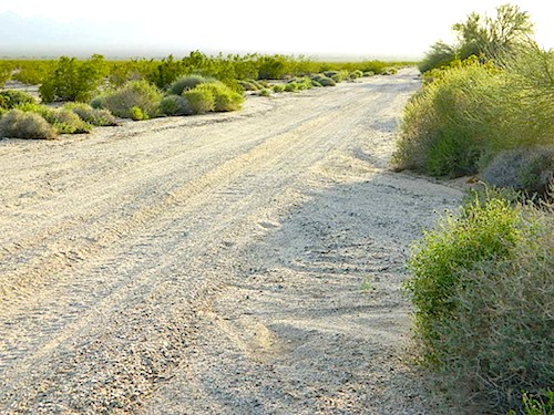
graded dirt road

PLUMAS_i

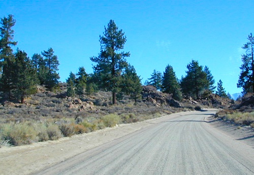
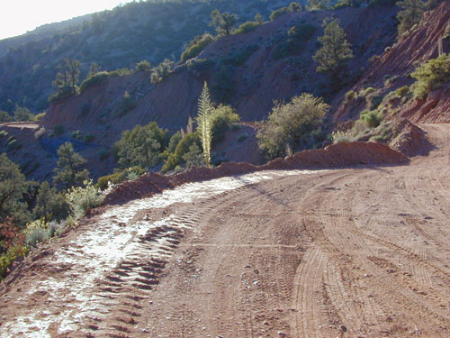
While many argue the phrase “off-road” means only hard core 4×4 routes, rock crawling or rally racing, here at Total Escape, any road that is not paved is a dirt road and “off road” to us, and always well worth exploring. Graded dirt roads, gravel roads, access roads, washboard routes, forest roads, fire roads, secondary roads, desert washes, one laners, single tracks, OHV trails – can all be dirt roads.

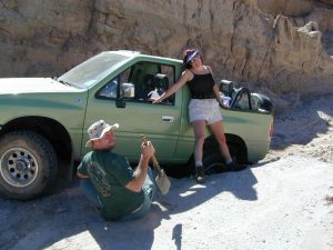
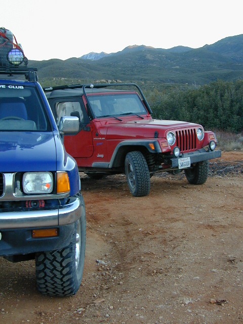
Whether or not your vehicle can handle them is your decision, but believe me, you do NOT need a modified Jeep to start your adventuring. Most dirt roads can easily be accessed with a normal passenger car – if you pay close attention to terrain, deep mud ruts and the rocks in the road.

stuck

Vehicle clearance is usually the first thing that will have you hesitating. If you own a truck or SUV – this is enough to be considered a “high clearance vehicle” and good to go on 90% of dirt roads in Cali. Many dirt roads will become 4×4 required or recommended when mud or snow are present, and no signs to warn you, so always check the weather forecast in advance. And most importantly, BRING A REAL MAP.

Paper Maps vs. Online Maps

Driving on Interstates and state highways is one thing, exploring and discovering new routes and real sightseeing is another animal all together. Go prepared to be delayed: to stop and sit, to listen to the wind, to picnic outside, to watch the weather change, photograph the clouds forming above your head, enjoy the process. Remember the journey: Half the fun is getting there!

ELDORADO_iIf you’ve ever tried to travel across the state with a GoogleMap, YahooMap or MapQuest one page printout, you will soon realize the limitations. Stuck in a small town called Julian, at night, on Christmas Eve, arguing with your partner, trying to find your way over to Interstate 10. Not a good plan! A statewide atlas will save you from many unexpected route changes, as well as prove to be an invaluable tool while traveling. Free as a bird, ready to explore the open road and well prepared is the key to less stress in route.

Exploring California

Know your vehicle limitations, and if in doubt, pull over, get out and look. Examine the ruts, the mud depth, the height of the rocks. Sometimes a good camp site is dependent on how far up that dirt road you can drive. RV campers like to stick to the wider, graded dirt roads and plenty can be found on typical topo maps. Tom Harrison, National Geographic & National Forest maps all have dirt roads as well as trails, trailheads, campgrounds listed.

Nearly every map sold on Total Escape has dirt roads noted:

  • US National Forest Maps have all the main routes, the dirt roads and some main hiking trails. Trailheads, ranger stations and campgrounds are well marked.
  • CA Wilderness Map collection have the topographical features you will need to hike the region, peaks, streams, and all dirt roads leading up to the trail heads. Nearby campgrounds will be shown. Equestrian (horse back riding) is okay, but no mountain biking is allowed inside these Wilderness Areas.
  • OHV Routes & Maps will display the “off highway vehicle” routes, which include single tracks for dirt bikes/motorcycles, wider routes for quads and all roads rated for 4×4 only use. Several selected maps will also show hiking biking and equestrian routes.
  • Recreation Maps can feature various types of activities all on one map, from off-roading to snowmobiling, river rafting to waterfalls. These maps cover a smaller area or popular region to enjoy.

dirtroad primtive

dirt roads lead to:

canyons
caves
creeks
dirt bike trails
fire lookouts
fishing holes
forests
groves
hiking trails
horseback trails
hot springs
meadows
mountain biking trails
mountain peaks
off-road trails
petroglyphs
picnic sites
ranches
rafting spots
rivers
scenic viewpoints
secluded campsites
small campgrounds
swimming holes
trailheads
waterfalls
wildflowers

log cabin mine road

‘FROADERS: see also –

California Off Road Areas

California 4×4 Trails

California Off Road Maps

Off-Road Maps PDF

Mason Valley Truck Trail

jeepinoriflamme

Mason Valley – Oriflamme Canyon

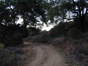
Mason Valley Truck Trail refers to a network of dirt roads on the west side of San Diego County Road S2, on the steep mountain slopes overlooking the desert badlands of Anza Borrego State Park. These primitive back roads lead up to the Pacific Crest Trail (PCT) on the edge of Laguna Recreation Area.

Oriflamme Canyon, Chariot Canyon & Rodriguez Trail are all in the area. Chaparral mountain trails lead off in many directions with dead end canyons and side routes. This high desert region consists of private property, ranches with gates, various trails and desert dirt roads – between 2400′ and 4000′ elevation.

A good portion of the lands on the west side of paved S2 are not inside the State Park boundary, but Oriflamme is the exception. The Anza Borrego Desert State Park borders includes this particular back road canyon, almost up to the Cleveland National Forest. Awesome locals little secret!

Laguna Recreation Area

  • Oriflamme Mountain @ 4611′ elevation
  • Chariot Mountain @ 4644′ elevation

San Diego Backcountry MapThe main access to Mason Valley Truck Trail is located near the bottom of Box Canyon (on Co. Rd. S2). The sign at the turn off reads Oriflamme Canyon. The first sandy mile or so gets kinda confusing, as the ranch road, dirt trails and natural desert wash merge with the seasons and rains. You might encounter locked gates if you take the wrong turn. In the wash look for signage for Oriflamme.

Approximately 2 miles from S2 the dirt road splits. To the left is Mason Valley Truck Trail, which continues up  Oriflamme Canyon and into wooded Chariot Canyon, eventually connecting with Hwy 78 (at Banner Grade). And the other choice on the right is a rugged 4×4 route called Rodriguez Truck Trail which is 7 miles long and meets back up with the main Oriflamme road about a mile from the highway. These back roads encircle the biggest peak around called Chariot Mountain.

Mountain bikers, hikers, horses and vehicles all use these routes, so be prepared to see others out exploring and please, always yield to equestrian traffic.

Mason Valley Truck Trail Anza Views

Several open, free camp spots lower in the canyon w/ large cottonwood trees. More hidden camps to be found higher up the mountain. A decent topo map, a campfire permit and a metal fire bucket is highly advised.

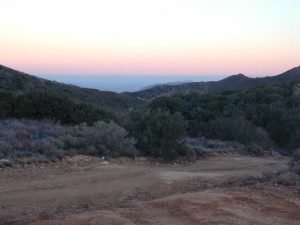
PCT: Pacific Crest Trail traverses the ridge line near 4000-6000′ and the desert valley below is nearing 2000′ elevation. The ambitious plan for the California Riding and Hiking Trail is still under construction and routed nearby as well.

Butterfield RV Ranch and the historic adobe Vallecito Stage Stop, are the closest thing to civilization you will find around these parts Don’t count on gasoline or cell phone coverage anywhere near here.

NEARBY TOWNS:Anza Borrego Desert Map

Desert / Mountains
SOCAL MAPS:


View Larger Map