Mammoth Motocross Race
#MAMMOTHMX
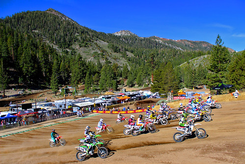
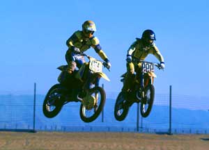
Dubbed the ‘oldest continuously running motocross event’ in the United States. This Eastern Sierra event draws some of the best dirt bike riders in the world.
Annual event: June
800-626-6684
mammothmotocross.com



#MAMMOTHMX
Dubbed the ‘oldest continuously running motocross event’ in the United States. This Eastern Sierra event draws some of the best dirt bike riders in the world.
Annual event: June
800-626-6684
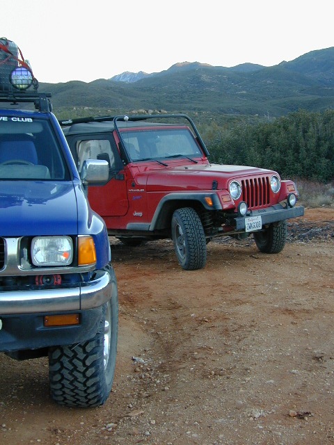
Dirt roads, backroads, desert trails, OHV routes, single tracks, dunes, fire roads, gravel roads, 4×4 roads
When you wanna explore a new area, California has plenty of public land to offer. Off Road Maps can get you away from the crowds & the main staging areas. Maps can show you prime areas to ride & camp that you may not have ever imagined. Secluded, wide open, or freeway close. Terrain – the endless deserts, the mountain foothills, the higher hills , way above the city. The choice is yours.
Whether you seek secluded stream side camp sites, with some fishing or a dusty, long, desert trail that spans the entire Mojave desert, you can find these secret spots with good old fashioned topographic maps. Hard copies! The real deal. No cell signal? No problem.
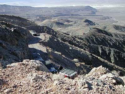
4×4 Panamint Valley has numerous canyons & ridges to conquer
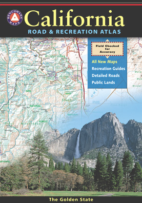
The most trusted full-state book-atlas that Total Escape recommends. When you must have a (hard copy) map for local road trips – Benchmark Atlas is the best one by far.
NFS, USDA
Forest Atlas:
National Forest Topo Atlas
Spiral bound book of all topographic quads, of select National Forests in California.


NorCal Backroads & 4-Wheel Drive Trails (book)
SoCal Backroads & 4-Wheel Drive Trails (book)

Awesome California locations w/ off-road trails nearby. DanaMite has compiled a list of first-hand knowledge information, links, photos, campsites, maps, all revolving around rural California. Check out the ever growing list and get ready to explore the back roads, like never before.
OHV area, motor vehicle use, 4×4 camps, dirt trails, forest routes; Download maps for various off-roading areas in California.
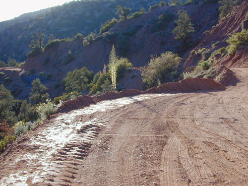
What the heck is it ???
4WD = 4 wheel drive
4×4 = (same as above)
2WD = 2 wheel drive
4×2 = (same as above)
AWD = All wheel drive
SUV = Sport Utility Vehicle
MTB = Mountain Bike
MX = Motocross (dirt bike motorcycle)
SNOMO = Snow Mobile (sled machine)
GAS-POWERED RECREATION: The past two decades have emerged with vehicle redesigns from well known brands, creating a number of new “utility vehicles” for the sport of off-roading (otherwise known as, burning gasoline while recreating in the outdoors). Here is a breakdown on the acronyms, but they all basically refer to much of the same “off road type vehicles”.
ATV = All Terrain Vehicle (quad)
MOHUV = Multipurpose Off-Highway Utility Vehicle
ROPS = Roll Over Protection System
ROV = Recreational Off-Highway Vehicle
RUV = Recreational Utility Vehicle
SxS = Side by Side Vehicle (2 seated)
SSV = (same as above)
UTV = Utility Task Vehicle
https://en.wikipedia.org/wiki/All-terrain_vehicle
https://en.wikipedia.org/wiki/Side_by_Side_(UTV)
Common abbreviations for off-road on public lands:
OHV – Off Highway Vehicle
SVRA – State Vehicular Recreation Areas
BLM – Bureau of Land Management
NFS – National Forest (USDA)
MVUM – motor vehicle use map (NFS)
PVT – private land / keep out
MTR – motorized
RD – road
CO – county
RTE – route
SR – state route
FR – forest route / road
EXT – exit
CK – creek
EL – elevation
MT – mountain
STA – station (ranger/fire station)
PO – post office
 |
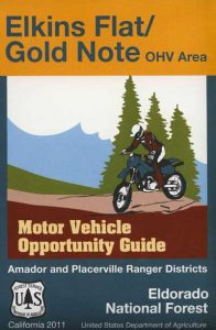 |
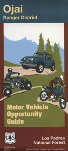
Around 2012 the National Forest Service printed up a bunch of nice off-road maps for various popular regions of California. Oddly, they told me not to sell them and I never heard anything about them again after that. Not even sure if these above are available to the public, but if you dig around you might find ’em. Call the rangers, they might know.
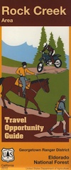
If interested, you could call the ranger station and ask about any local off-road maps, and availability. Mostly they have freebie one page print-outs, black & white — to keep the crowds where they want them. Other times they might have real color, printed maps for sale at the station. Maps that can get you deeper into the terrain, with wild edges of reality nearby. 4×4 maps, OHV map, MVUM
Government agency that manages large amounts of California land. Public lands that do not fall into the National Forest or National Park or State Park realm. BLM oversees some mountain areas, river canyons and primarily, desert regions within California. Visit a local BLM office to see the selection of area maps.
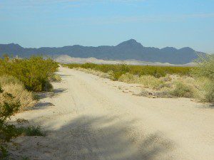
Decent & FREE: dirt road maps can be found at BLM ranger station, south of NEEDLES, on US Hwy 95. Explore Turtle Mountain and find free camping IN ROUTE; Eastern California Desert.
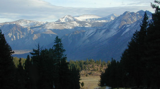
Long Way Down BMW Check out the Bikes!
California Scenic Drives – On a Road to Nowhere
Google Earth Community – California Motorcycle Riding Areas
Motorcycle Ride California – Tours & Trails
CA Motorcycle Maps & OHV Maps California – All Roads, All Trails
Off Road Destinations – Baja California MX Towns
California Motorcycle Events & Races
California Motorcycle Association – Racing as a Business

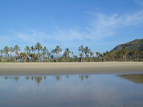

Topographic Maps of California Baja
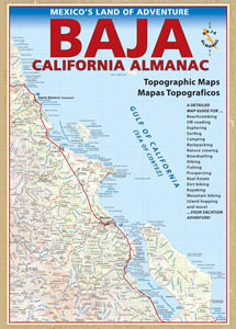
BAJA MEXICO MAP
The mysterious topographic map maker, Landon Crumpton, is gone. Although his Baja Almanac book of the Mexican peninsula is still as popular as ever.
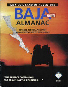
The Total Escape crew has been using this amazing topo map for Baja Mexico since our the very first excursions in 1990. Click below to read more about the famous, hard-to-find Baja Almanac publication.
Topographic Map Book of Baja California
NatGeo Baja California Mexico Maps
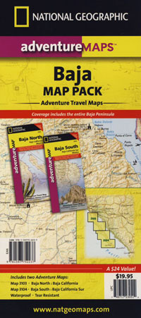
Obscure Books & Maps, AAA Maps of Baja
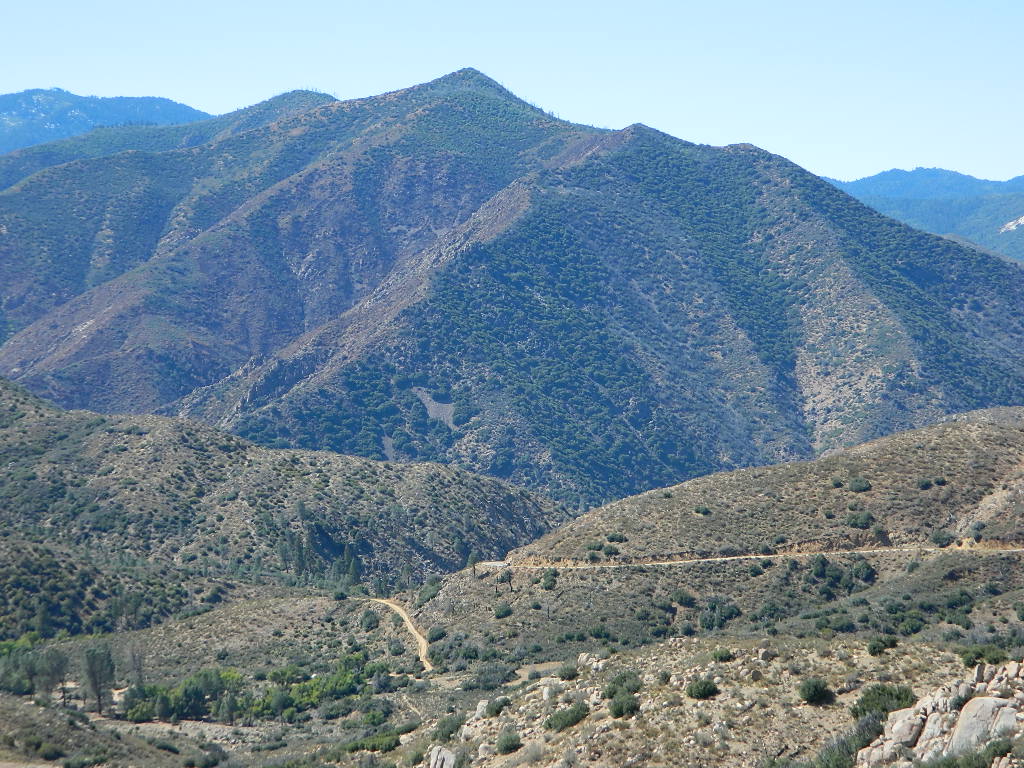
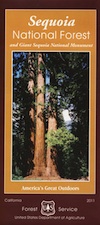
Sequoia National Forest covers a large portion of the Southern Sierra, surrounding the Kern River canyon. This trail list is NOT for off-roading in the Sequoia groves!
The regions here are further south, below the Western Divide & Trail of 100 Giants.
If you are looking for more than a leisurely Sunday drive or a self guided back road tour, listed below are areas to “tear it up” on dirt w/ your motor bikes, machines & off road toys. Camping is common in certain spots.
CAMPS: Please be respectful of other campers and hikers; do not ride circles around camp sites, stir up dust or rev up engines at night. Choose a camp away from main roadways and access trails for a more enjoyable experience. Equestrian campers often use these same areas for meadow camping and horseback riding. A campfire permit is required.
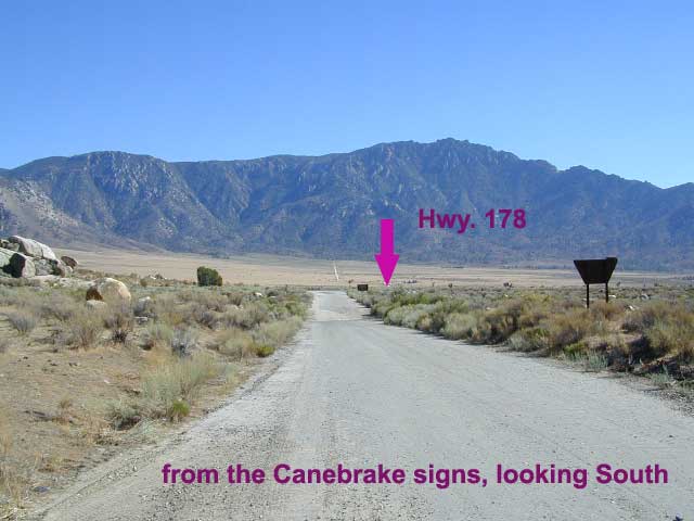
ATV offroad trails, OHV routes & 4×4 Jeep Roads
 |
 |
DIRT ROADS in KERN CYN & SEQUOIA
Just looking for some dirt roads to explore – at a more leisurely pace?
Check out DanaMite’s Sequoia Back Roads list, where you can find awesome unpaved roads throughout the Sequoia Forest & Kern Canyon region. Some of these secluded routes lead to great primitive camping sites, waterfalls, fishing holes, or amazing view points, but are not necessarily popular ATV routes.
CA Kern / western Kern county
Kern County is known for its oil, its agriculture, and outdoor recreation. The Kern River is the highlight of the region with lush, green and grey granite canyons, a big reservoir & the Sequoia trees just up the road. On the western side of Kern County are small towns like Frazier Park, the golfing cabin community of Pine Mountain Club, plus the oil meccas of Maricopa and Taft. Expansive Lockwood Valley enters into Ventura County. Cuyama River borders Santa Barbara & SLO counties.
Much of the western Kern area is rural ranch land, desert or forest. Los Padres National Forest, Chumash Wilderness, Bittercreek Wildlife Refuge, Wind Wolves Preserve, Buena Vista Reservoir, Ballinger Canyon, Hungry Valley and Fort Tejon State Park all call this region home, right on the mighty tangent of the San Andreas fault line. The San Emigdio range and the surrounding mountains of Mt Pinos and Mount Able design a perpendicular range to the Central Cali coastline, connecting the huge Mojave desert to the ocean. Cerro Noroeste is a very scenic drive.
The 17 mile long Quatal Canyon, where the indian camp of Mahu Tasen hosts a Bear Dance every summer is also a wild place of bird watching, camping and hunting. The indian word for Mount Pinos is “Iwihinmu” – a sacred spot for Chumash Indians, as well as others; Chumash call it the ‘center of the world’. Locals respond regularly with music, hikes, star gazing, drum circles (seasonally) and local festivals (annually) .
PHOTOS: Los Padres Photos | Miller Jeep Trail Off Roading Photos
Drum Camp Pinos | Drumming Cerro Noroeste
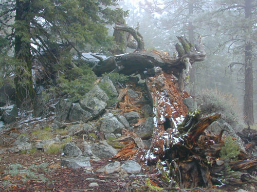
Tecuya Ridge, Cuddy Valley 4×4 trails can keep you busy for a whole weekend of back road exploring.
boating, camping, dirt biking, fishing, hiking, horseback, hunting, mountain biking, off roading, skydiving, xc skiing
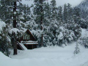
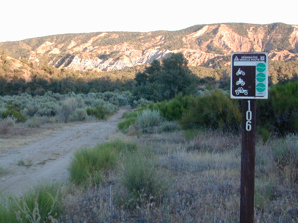
MOUNT ABEL, California
So many misspell Abel like Able, its a wonder anyone can find this place.
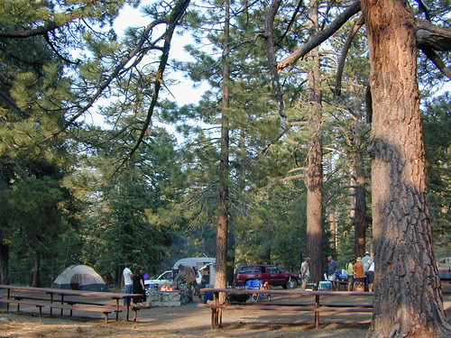
But what a nice find it is! Camp O Alto Campground, among the giant trees. RV friendly
Cerro Noroeste / Mt Abel / Noroeste Peak
Los Padres mountains, camping on the back roads, mountain biking, hiking, exploring. This gorgeous 8286′ mountain peak sits just to the west of Mount Pinos @ 8831′ (the tallest peak in Kern County). Home of the Jesus Tree, the best sunset spot for miles and the infamous motorcycle road out west, this mountain is one of the lesser known in Southern California. Oddly shaped, Jefferey and Ponderosa pines towering above have their tops stunted and enormous branches hanging down. Maybe from lightning strikes, or maybe from a historic Tejon earthquake that snapped them?
Camp-O-Alto is the official name of this primitive open, FREE campground. First come basis. This place is a perfect option B, instead of the busier Mt Pinos Recreation Area that is located to the east. RV campers love this camp, as there is plenty of room to spread out in between the sites. There is also a large group site at the west end of the campground – available to whomever can grab it first, but you must have a large group to utilize this spot.
Just south of Apache Saddle, there is a faded, large sign that reads Westside Park, but this is the only reference we can find and no one locally calls this mountain by this name. The Cerro Noreste Road gate (near Camp Condor), closes seasonally for winter snow and rock slides.
Once you are past this gate & start climbing from the saddle, there is a great viewpoint a few miles up on the right side, overlooking red dirt beauty of Quatal Canyon. You can see the mountains out near the coast, as well as the high desert, natural wash on the left side and the faint graded dirt road paralleling it to the right side, all mixed up amongst the pinyons & junipers. The Chumash Wilderness is on the left side.
DIRECTIONS TO MOUNT ABEL:
To get here from Interstate 5, exit Frazier & head west, thru Frazier Park, thru Cuddy Valley, turn right on Mil Potrero Hwy (forest road #9N05) & past the golfing community of Pine Mountain Club; continue west to Apache Saddle. At this intersection, turn left on to Cerro Noroeste (#9N25) & drive 10 miles to the top of the mountain.
To get here from Hwy 166, take the Cerro Noroeste Road turn off just east of Hwy 33. Continue 20-something miles up to Apache Saddle ranger station. At this intersection, turn right on to Cerro Noroeste (#9N25) & drive 10 miles to the top of the mountain.
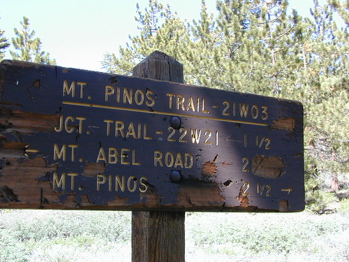
Los Padres Trail # 21W03 / Chumash Wilderness
Hiking Trails / Mountain Bike SoCal
This area is very popular among mountain bikers and sunset seeking couples. The “Peak to Peak” hike is an all day adventure of 6.5 miles, that should be planned well in advance – with another shuttle car at the Pinos parking lot. This is a moderately, strenuous hike that can take up most of the day – with awesome views over the San Joaquin Valley, Lockwood Valley, Pine Mountain Village and San Emigdio range. The area located in between Pinos & Abel is called the Chumash Wilderness.