
22,700 acres
Kaiser Pass Road
Sierra National Forest
2020 wildfire: CREEK FIRE
has burnt the majority of this wilderness, roads, trails, lake shores and most campgrounds
Central Sierra Nevada Mountains/ Kaiser Pass & Kaiser Peak / Highway 168
One of the best cell phone coverage areas for any California Wilderness location, this central Sierra region is located south of Yosemite National Park and known primarily for Shaver Lake.
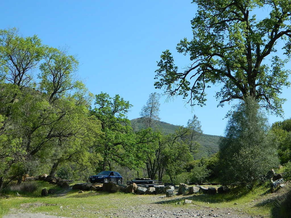
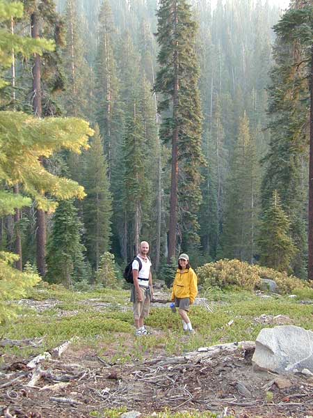
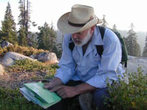
California Hwy 168, along with Dinkey Creek Road (southward) and Kaiser Pass Road (northward) leads off in all splintered directions to secluded campsites, rivers, creeks, lakes, developed campgrounds and amazing forest scenery. Off road trails and hiking trails, everywhere back here! But it is best to have several good maps for cross reference.
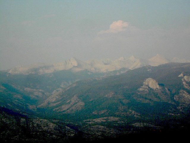
This Sierra National Forest region includes all hydroelectric dams and lakes surrounding Shaver and Huntington Lake, including Florence Lake, Ward Lake, Edison Lake, Mammoth Pool, Courtright Reservoir and Wishon Reservoir.
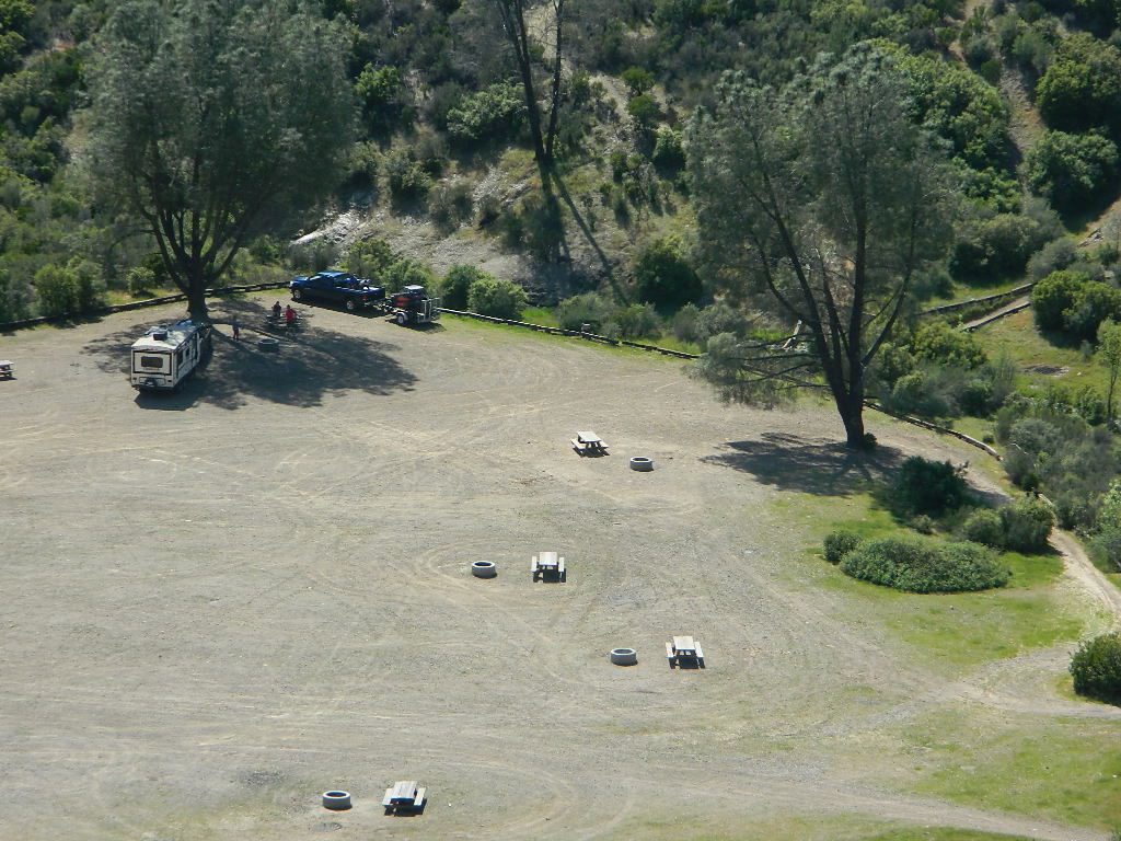
Dusy Ershim Trail 4×4 travels past Kaiser Peak and the cell phone towers. Several primitive camp sites with views on ridge. Numerous developed NFS Campgrounds out this way along Kaiser Pass Road.
Trailheads for horseback, hiking, backpackers, mountaineers, rock climbers. Snowmobiles love this amazing route when the snow is deep; some west coast winters can be better than others. Know before you go!
Kaiser Wilderness are granite mountain peaks, near Huntington Lake & the China Peak ski resort, formerly called Sierra Summit Ski; One lane narrow backcountry paved roads: Kaiser Pass Road 80 (east of Huntington Lake) and Stump Springs Road 5 is West Kaiser (west of Huntington Lake)


Sierra National Forest
Kaiser Pass Road, elevation 9184′
25 mph – pothole paved, barely maintained one lane road, 20+ miles. Kaiser Pass is closed in winter months, but accessible by snow-mobile.

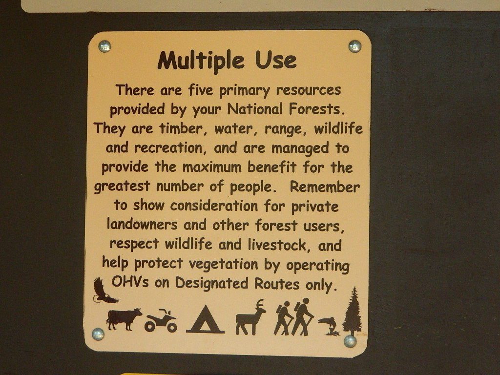
recreation –

- backpacking
- camping
- creeks
- cross country ski
- fishing
- hiking
- lakes
- mountain biking
- mountaineering
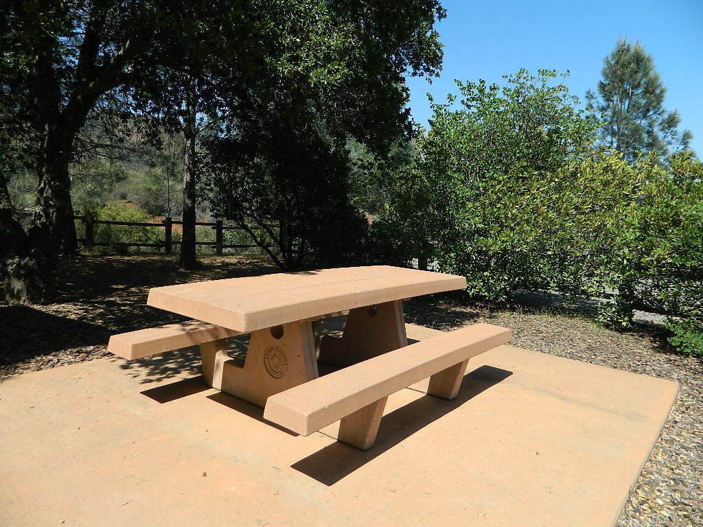
- picnicking
- rock climbing
- rivers
- snow mobiling
- snow skiing
Sierra Topo Maps
Sierra Map Tom Harrison
Sierra NF Map USDA
Kaiser Wilderness Map
Ansel Adams Wilderness USDA
Ansel Adams Trail Map
Dinkey Lakes Wilderness USDA
Dinkey Lakes Trail Map
John Muir Trail Maps
Mono Divide High Country
NatGeo Mono / Mammoth Map

surrounding wilderness and forest lands –
Ansel Adams Wilderness
Dinkey Lakes Wilderness
Inyo National Forest
John Muir Wilderness
Kings Canyon NP
Sierra National Forest
Yosemite National Park
National Forest & Wilderness Permits –
More Kaiser Wilderness Info & Links –
sierrawild.gov/wilderness/kaiser
summitpost.org/kaiser-peak
Kaiser Wilderness Wiki
San Joaquin River
Don’t Tell Anyone Campsites
Mono Hot Springs