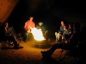
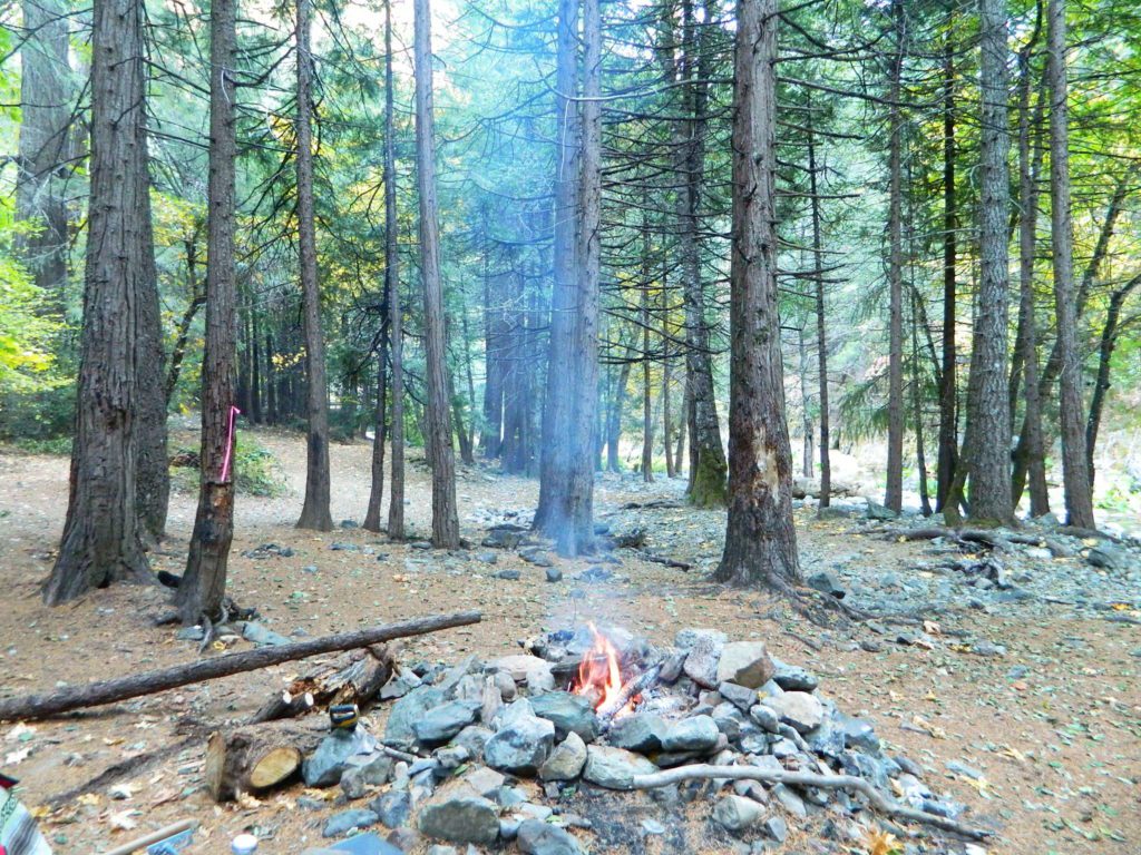
Campfire Bans for 2020
locking down the forests, before they burn (again)
Outside of developed campgrounds and permitted facilities, igniting, building, maintaining or using a fire on national forests in California will be prohibited.


List of Current Fire Restriction Orders for all USFS National Forests in California w/ links.
Fire Restrictions are now in effect for most all public lands in California. Data and news change weekly, so follow links for most up-to-date restrictions, before you make your drive.
These are the earliest and most restrictive campfire orders ever. No? Maybe the long drought years would be equivalent. Below is a brand new list broken down by federal land regions – forest and deserts, including BLM camping areas.
Looks like we are already into Stage II Restrictions for the begining of summer 2020.
 NOTE: BBQ grills, all stoves, smoking, firecrackers, welding, chainsaws, off roading, dirt biking, hunting and target shooting are restricted within these orders. A few of these fire restrictions are dated to extend until DEC 31, 2025
More details and specifics can be found on each forests .gov web site, so please use THESE LINKS BELOW (before they break).
The land is dry and wildfire threat is an ongoing battle in California.
FOREST-WIDE FIRE RESTRICTIONS IN PLACE


Northern California
BLM (Bureau of Land Management)
no campfires outside of developed campgrounds (statewide)
(APR 29, 2020 – DEC 31, 2025)
see the current 2020 BLM Campfire Map
Six Rivers National Forest
campfires only allowed @ developed recreation areas, campgrounds and certain designated fire safe sites
(MAY 29 – NOV 1, 2020)
https://www.fs.usda.gov/alerts/srnf/alerts-notices
Klamath National Forest
campfires allowed only @ developed campgrounds & inside wilderness areas (MAY 29 – NOV 1, 2020)
https://www.fs.usda.gov/alerts/klamath/alerts-notices/?aid=59110
Modoc National Forest
no campfires outside of developed campgrounds (MAY 28)
https://www.fs.usda.gov/alerts/modoc/alerts-notices/?aid=5889
USDA PDF map shows only 26 places that you have have a campfire inside Modoc. The far drive could be worth it – for minimal crowds, darkest skies and maximum fishing. Best for week long road trips, super lazy summer style.
Shasta Trinity National Forest
no campfires outside of developed campgrounds (MAY 29)
https://www.fs.usda.gov/detail/stnf/news-events/?cid=FSEPRD745550
Persons with a valid California Campfire Permit are not exempt from the prohibitions.
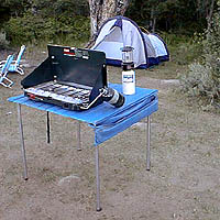
However, persons with a valid California Campfire Permit may use a portable campfire ring/pit, stove, or lantern ( 5+ feet from flammable materials) IF THE UNIT burns gas, kerosene, jellied petroleum or pressurized liquid fuel, and is EQUIPPED w/ a shut-off valve.
Wow, what a mouthful. Guess the propane campfire is okay?
Lassen National Forest
no campfires outside of developed campgrounds ( MAY 29)
https://www.fs.usda.gov/alerts/lassen/alerts-notices/?aid=59049
SUSANVILLE, Calif. May 29, 2020 – Lassen National Forest is enacting campfire restrictions… effective immediately and until further notice. Outside of developed campgrounds and certain permitted facilities, igniting, building, maintaining or using a fire on national forests in California will be prohibited.

BLM Eagle Lake
no campfires outside of developed campgrounds
(APR 29, 2020 – DEC 31, 2025)
see the current 2020 BLM Campfire Map
Mendocino National Forest
campfires allowed only @ developed campgrounds & inside wilderness areas (MAY 29 – NOV 30, 2020)
https://www.fs.usda.gov/alerts/mendocino/alerts-notices


Sierra Nevada California
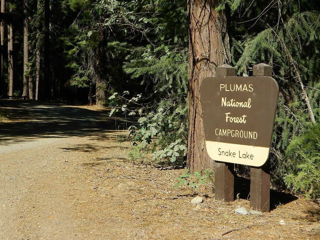
Plumas National Forest
no campfires outside of developed campgrounds (MAY 29)
https://www.fs.usda.gov/alerts/plumas/alerts-notices
North Sierra where the granite meets the volcanic rock of Lassen. Feather River Watershed, Lake Oroville SRA, Bucks Lake Wilderness, Bald Rock, Quincy, Lakes Basin Recreation Area

Tahoe National Forest
no campfires outside of developed campgrounds (MAY 29)
https://www.fs.usda.gov/alerts/tahoe/alerts-notices/?aid=58962
Donner Summit and Lake Tahoe get a majority of the Sierra Nevada snowfall and traffic. Deepest snowpacks are measured way up here, with dozens of small lakes surrounded by granite. Less snow means drier forests for 2020, and more tourists means more campfires. One spark is all it takes!
Sierra National Forest
campfires allowed only @ developed campgrounds & inside wilderness areas (JUNE 4 – NOV 30)
https://www.fs.usda.gov/alerts/sierra/alerts-notices/?aid=34784
Yosemite’s west side w/ Bass Lake, Mammoth Pool, Granite Creek, Dinkey Creek, McKinley Grove, Shaver Lake, Huntington Lake, San Joaquin River, Mono Hot Springs, Edison Lake, Florence, Ward, Courtright, Wishon, Blackrock, and the Kings River. Biggest water reservoirs draws the largest crowds. Be fire safe and camp inside of a developed campground this summer.
Stanislaus National Forest
no campfires outside developed campgrounds
(MAY 28 – NOV 30)
https://www.fs.usda.gov/alerts/stanislaus/alerts-notices/?aid=59004
Sonora Pass and the Gold Country have been hit hard by recent wildfires in the past decade, so now we pay the price w/ much tighter campfire restrictions. Popular mid Sierra region, easy access w/ many lakes and reservoirs; highways of CA 108 & CA 44
Eldorado National Forest
no campfires outside of developed campgrounds
(MAY 29 – NOV 30)
https://www.fs.usda.gov/alerts/eldorado/alerts-notices/?aid=58902
BLM Mother Lode
(Gold Country Foothills)
no campfires outside of developed campgrounds (MAY 29)
https://www.blm.gov/press-release/blm-mother-lode-field-office-initiates-seasonal-fire-restrictions
see the current 2020 BLM Campfire Map
Humboldt-Toiyabe National Forest
no campfires outside of developed campgrounds
(MAY 31 – OCT 31, 2020)
https://www.fs.usda.gov/alerts/htnf/alerts-notices/?aid=58910
Eastern Sierra, south of Lake Tahoe, alpine lakes and the headwaters to the Carson River. Walker River, Twin Lakes, Bridgeport, CA
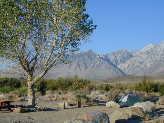
Inyo National Forest
no campfires outside of developed campgrounds
(MAY 13, 2020 – DEC 31, 2022)
https://www.fs.usda.gov/alerts/inyo/alerts-notices/?aid=23491
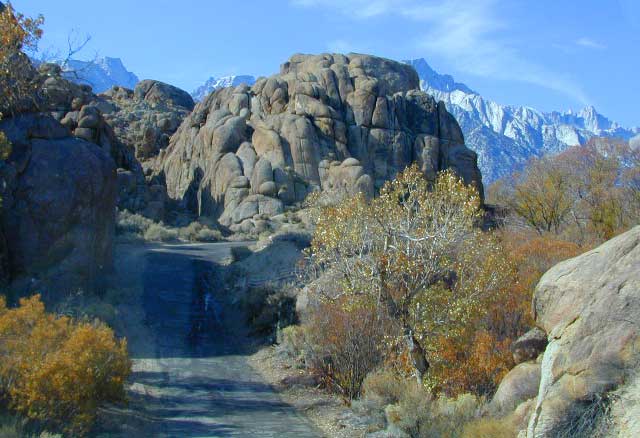
Campfires banned throughout the Eastern Sierra region until the end of 2022, within both the USFS and BLM campgrounds. US Highway 395, Mount Whitney, Mammoth, June Lake Loop & Mono Lake
BLM Bishop
no campfires outside of developed campgrounds
(APR 28 – NOV 1, 2020)
https://www.blm.gov/press-release/blm-bishop-field-office-issues-seasonal-fire-restrictions-0
see the current 2020 BLM Campfire Map
Sequoia National Forest
no campfires outside of developed campgrounds
ABOVE 5000′ elevation (MAY 28 – NOV 30, 2020)
https://www.fs.usda.gov/alerts/sequoia/alerts-notices/?aid=58934
Tighter than normal campfire rules for the drier Southern Sierra. Kern River Canyon, Kennedy Meadows, Chimney Peak and beyond. Drive up hill, gaining levation to Sherman’s Pass or the Western Divide Highway and find a cooler campground in the dense trees. Forget the triple digit heat, brushy river and the masses, and climb to a higher altitude for the Big Trees and Big Meadows. Breckenridge, Horse Meadow, Long Valley, Mountain Home.

BLM Bakersfield
no campfires allowed at all (APR 28)
https://www.blm.gov/press-release/blm-bakersfield-field-office-issues-seasonal-fire-restrictions
see the current 2020 BLM Campfire Map
Southern California
& Central Coast
Cleveland National Forest
no campfires outside of developed campgrounds (all year)
https://www.fs.usda.gov/detail/cleveland/home/?cid=fseprd549882
San Bernardino National Forest
no campfires outside of developed campgrounds
(MAY 29 – DEC 15, 2020)
https://www.fs.usda.gov/detail/sbnf/learning/safety-ethics/?cid=FSBDEV7_007776
Angeles National Forest
no campfires outside of developed campgrounds
(DEC 10, 2019 – FEB 1, 2021)
https://www.fs.usda.gov/alerts/angeles/alerts-notices/?aid=55824
Los Padres National Forest
no campfires outside developed campgrounds
(MAY 12 – NOV 30, 2020)
https://www.fs.usda.gov/alerts/lpnf/alerts-notices

BLM Deserts Southern California
no campfires allowed at all (APR 29)
see the current 2020 BLM Campfire Map

Stages of Fire Restriction in California
![]()
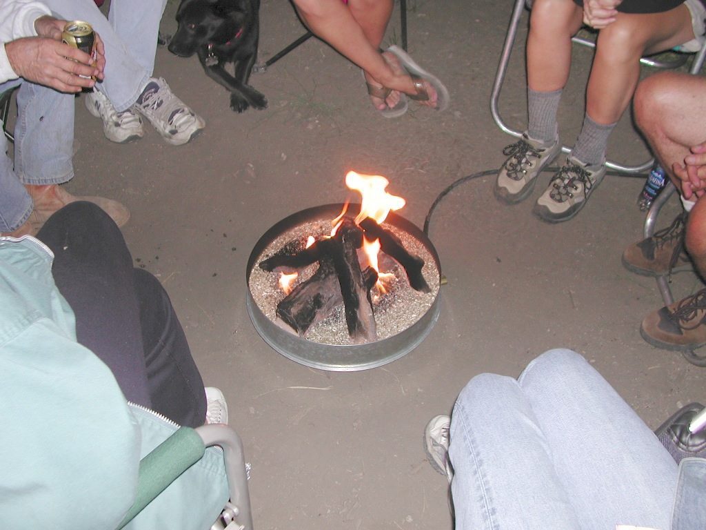
Stage I Restriction (ALL YEAR-ROUND):
- The possession or use of any steel jacketed or steel core ammunition of any caliber. This would include handgun, rifle and shotgun ammunition unless a person is in possession of a valid State of California hunting license and is actively engaged in the legal take/pursuit of game and non-game species in accordance with current California hunting regulations, and
- During the issuance of Red Flag Warnings and Fire Weather Watches, as determined by the National Weather Service (NWS), all recreational shooting and use of campfires, is temporarily suspended to reduce the potential of unintended wildland fire ignitions for the period of the event.
Stage II Restriction:
- All the restriction in Stage I above, and
- Setting, building, maintaining, attending, or using open fire of any kind is prohibited, except campfires within approved fire pits and grills provided for in developed recreation sites; or campfires within the Imperial County Special Recreation Management Areas with a valid California Campfire Permit. Controlled flame devices such as portable stoves and lanterns with shut-off valves,using gas, jellied petroleum, or pressurized liquid fuel are allowed and require a valid California Campfire Permit, and
- Smoking, except within an enclosed vehicle or camp trailer or while stopped or standing in a three-foot diameter area barren or cleared of all flammable materials and away from federal facility doors, windows and air ducts.
Stage III Restriction:
- All the restrictions in Stage I above, and
- Setting, building, maintaining, attending, or using open fire of any kind is prohibited. Controlled flame devices such as portable stoves and lanterns with shut-off valves,using gas, jellied petroleum, or pressurized liquid fuel are allowed with a valid California Campfire Permit, and
- Smoking, except within an enclosed vehicle or camp trailer unless prohibited by State or local laws.


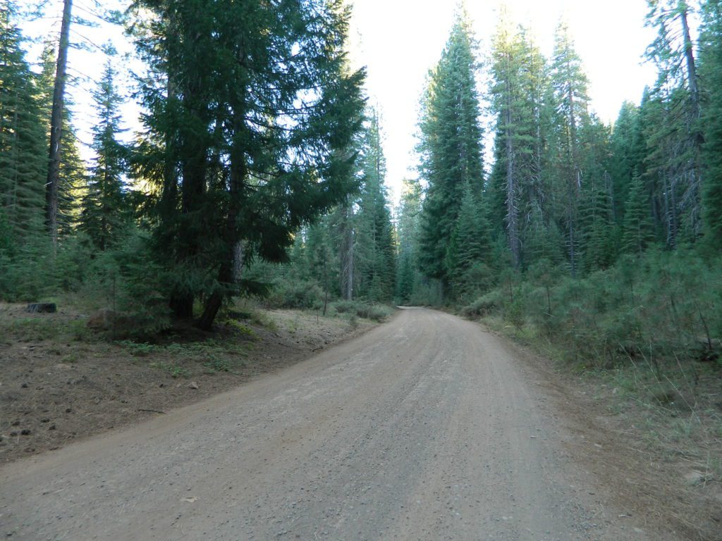
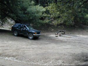
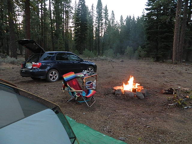
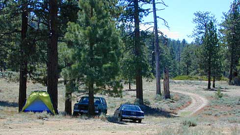
 A high clearance vehicle may be needed to reach certain camp spots, but many can be accessed with a standard passenger car. Low riders will likely bottom out and motorcycle riders will get dusty.
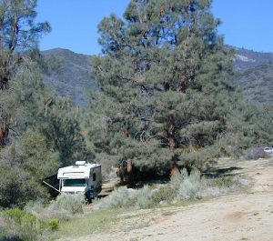


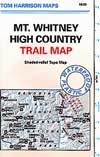 When the snow melts in the High Sierra, the rush is on! This is one of the most popular backpacking trips in the Eastern Sierra, as Mt Whitney is the highest peak (14505′ elevation) in the contiguous United States of America.