Tag Archives: Hiking Trails

Angeles Crest Hiking

Hiking Trails Los Angeles

another two bite the dust

localhikes.com – GONE
latrails.com – GONE

Millard Falls
2 mi RT; 1200′ elevation; oaks.
Arroyo Seco District –
of Angeles National Forest
818-790-1151
Altadena CA
From Interstate 210 in San Gabriel Valley, exit Lake Ave., go N & turn left/west onto Loma Alta Dr. & to Chaney Trail & follow signed dirt road
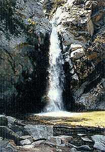
LA waterfalls

Sturtevant Falls
5 mi RT; 4600′ elevation; oaks, creek-crossings.
Santa Anita District –
of Angeles National Forest
818-899-1900
inside Big Santa Anita Canyon
From Interstate 210 in San Gabriel Valley, exit Santa Anita Ave.Go North/East, through neighborhood & up mountain to paved parking lot.

More hikes on Angeles Forest

  • Big Tujunga Wash
  • Circle X Ranch
  • Mendenhall Ridge
  • Mount Lukens
  • Newhall Pass
  • Strawberry Peak
  • Towsley Canyon
  • Verdugo Mountains

Hiking Los Angeles Area

Angeles Forest – Los Angeles California

nearby towns –

Angeles Maps – hiking, OHV & mountain biking –

19S01 – Inyo NF

south sierra ridges

Walker Creek Road #19S01
– Inyo National Forest

Southern Slopes, Eastern Sierra Nevada

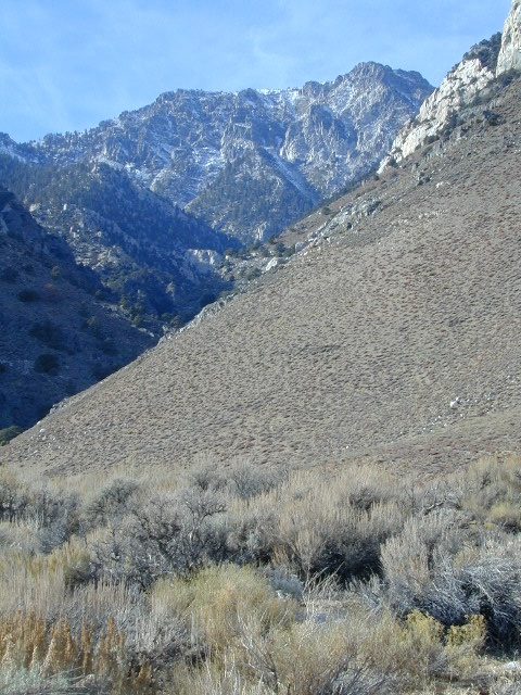
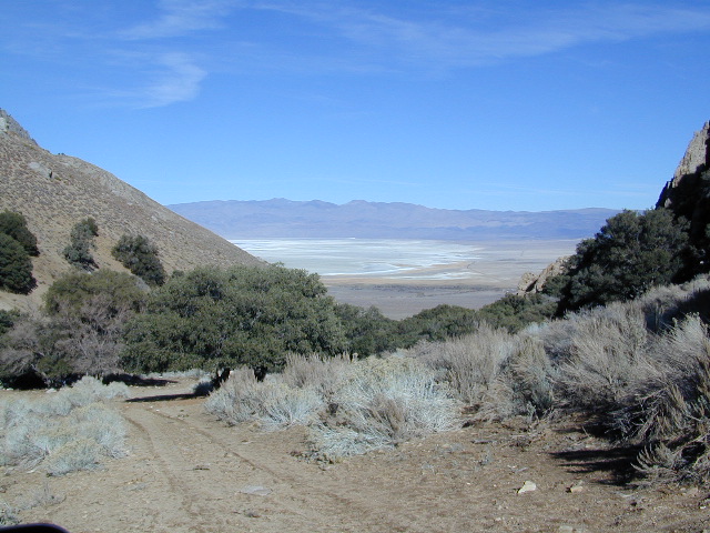
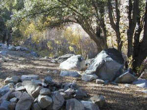
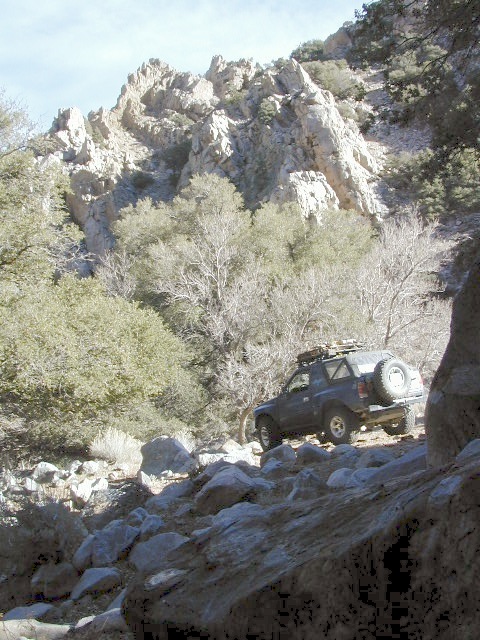
Just south of Olancha, off US Hwy 395 is a dirt road that takes you 5 miles up to an oak canyon lined with rocks. There are several primitive camp sites along the Walker Creek. A high clearance vehicle may be needed in some sections, but 4×4 is not required. Small RVs might attempt this, but if the first mile frightens you, turn around while you’re ahead.

Dirt Road near 395

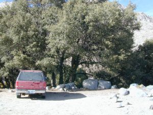
This private, shaded, creek area is perfect for those traveling Highway 395, looking for a quick and free camp spot near Olancha, CA

nice shady spots
Shady picnic or camp spots above 4000′ elevation.

some granite
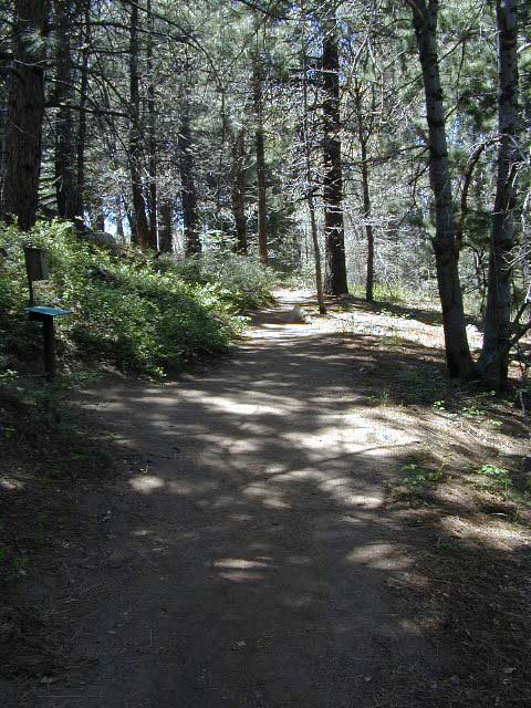
Hiking trails at the end of the road lead deep into the mountains. One on the right takes you to waterfalls. The trail on the left will take you to meet up with the Sage Flat Trail, which leads up to Olancha Pass, Summit Meadows & a small lake, in the South Sierra Wilderness. The Pacific Crest Trail runs the ridges here, just west of Monache Meadows, which is at 8000′ elevation, way above here – up on top. 

First Camp

US 395 highway – the dirt road turn off is very close to a gas station, and it maybe be signed, or not. The gas stop may be in business, or perhaps not. This is rural California, wide open desert and things come and go quickly.

On a good topo map, located Olancha Creek and Summit Creek to the south. Walker Creek is the canyon in between those two, just so know where you are going and can visualize. This one is an easy-to-miss dirt road turn off – especially if you are going over 50 mph.

Santa Lucia Wilderness

RanchesAG
Rancho Arroyo Grande, California

Santa Lucia Wilderness

South San Luis Obispo Hiking Trails

18, 679 acres
Central California Mountains
East of Arroyo Grande, CA
US Highway 101
exit #187A – Grand Ave

backpacking, camping, creek fishing, hiking, swimming holes, waterfalls

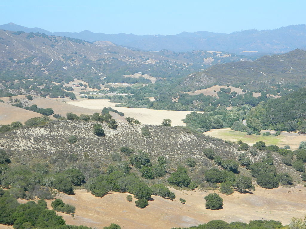
Santa Lucia Wilderness is the mountain range in between Santa Margarita Lake and Lake Lopez inside Los Padres National Forest, in a very remote and rugged portion of San Luis Obispo county. In the hills behind Arroyo Grande, past the Huasna turn off, above the local reservoir, beyond the big ranches – the waterfall trails of Santa Lucia can be found. Super steep canyons with only two dead end roads leading to trails. Waterfalls, swimming holes, way back there behind Piney Ridge.

tallest mountain peak elevations

  • Bald Mountain – 2834′
  • Lopez Mountain – 2868′
  • Black Butte – 2749′

Upper Lopez Canyon can be challenging drive with water in the creek, but it has 3 trailheads back in this canyon.

Pozo Road / Hi Mtn Road (#30S05 on the way to Pozo) will lead to a Santa Lucia trailhead @ Hi Mtn Campground and on to Big Falls trailhead. Locals call the whole route POZO, which leads from Lake Lopez to Pozo.

Road #15E11 Garcia Ridge OHV trail is off this same main route, Hi Mountain Road. The Rinconada trailhead can be found along the paved Pozo Road, west of the Pozo Saloon and east of the KOA Campground.

San Luis Obispo Area
HIKING MAPS

NGLPNFW

Los Padres Big Sur Map

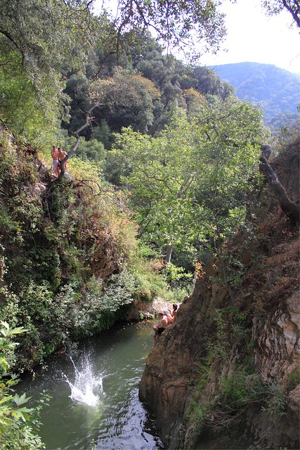
The Plunge Pool