Foothills: North Los Angles County
I-5 Freeway Close, Camping on Dirt Road
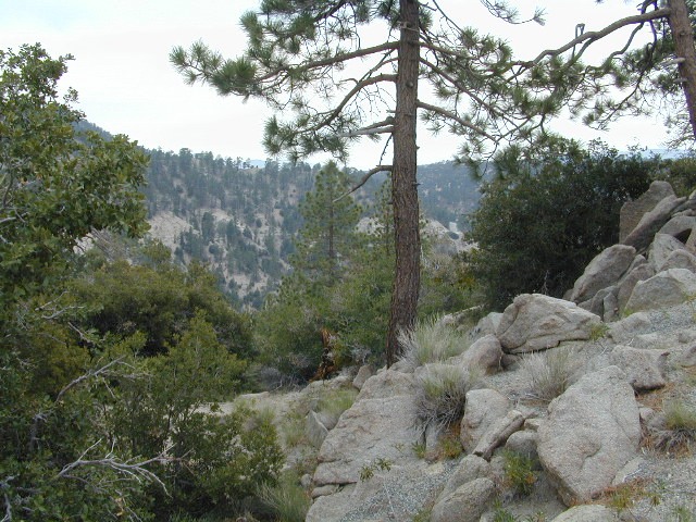
Angeles National Forest extends far north of Santa Clarita, CA. Way up Interstate 5, almost to Tejon Pass (4144′ elev). On the west side of the freeway is Los Padres National Forest and on the opposite side is Angeles National Forest. Both sides have abundant off roading and dirt roads, trails and camping areas.

A few developed campgrounds exist along I-5, but who really wants to camp out and listen to the freeway traffic? This route is a skinny dirt road, leading out to small remote campgrounds, often visited by off roaders. No facilities and no running water; you’ll be lucky if the picnic table isn’t shot up. Simple, bare bones, middle of nowhere for L.A. County.
Forest Road # 7N23
Long dirt road that begins at Three Points Road, off of Hwy 138 – the Antelope Valley freeway which connects the Grapevine and Tejon Pass @ I-5 to the Mojave Highway 14 out east.
USDA National Forest Map is advised, a high clearance vehicle is recommended – and free time needed to enjoy such a spot. 4WD may be needed during snow and really wet weather.

PCT access
 The ever popular Pacific Crest Trail passes by this small NFS campground listed below. Backpackers, horse packers, dirt bikes and truck campers can all access this dirt road, but be warned it is WAY OUT THERE.

Yes, it snows up here (very infrequently) – terrain elevations range from 1000-5000′ around this region. Basic note: if Interstate 5 has snow warnings, this small, backcountry dirt road will get winter weather too. And sometimes that can be significant, during JAN-MARCH. If more than a few inches of snow are predicted, you best have a 4×4 and/or snow chains.
- camping
- dirt roads
- hiking
- off roading
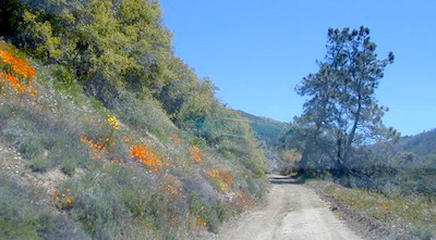
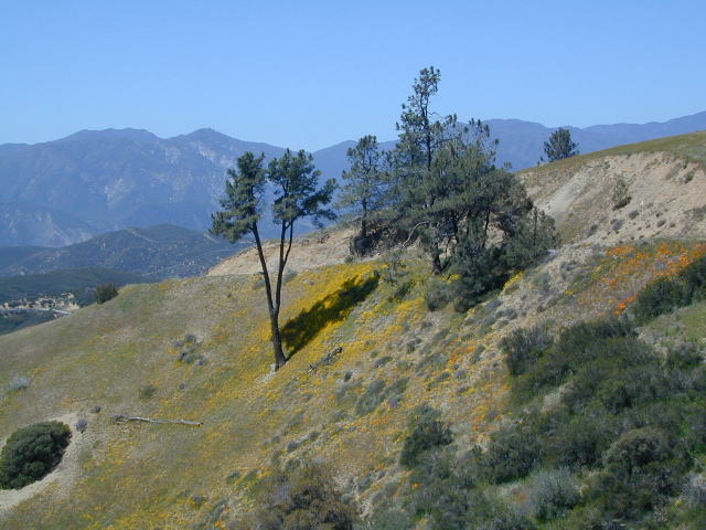
- wildflowers

Wildflowers bloom in April, and will need a decent amount of winter rain/snow to display the vivid colors. This area is not too far from the California Poppy Reserve in the Antelope Valley.
Hungry Valley SVRA is a large, popular off road park, located to the north. On the edge of the Los Padres National Forest @ the GORMAN exit.

Bear Campground
[2021 CLOSED, due to wildfire from 2020]
open all year
elevation: 5400′
7 camp sites
no toilets
no water
no fee
Oak trees, sage, chaparral w/ wide open sky views. Picnic tables, fire rings and fresh air. Well spaced sites, with lots of room to spread out. OHV trucks & trailers do frequent this spot, so be warned.
Far from everything, so no impromptu beer runs to the mini -market. Bring everything you will need for any overnight stay, including ice, food, drinking water, washing water, and campfire water. LOTS of water is always good. No creeks flow year round. Summer and autumn can be very hot in these hills.
nearby destinations: