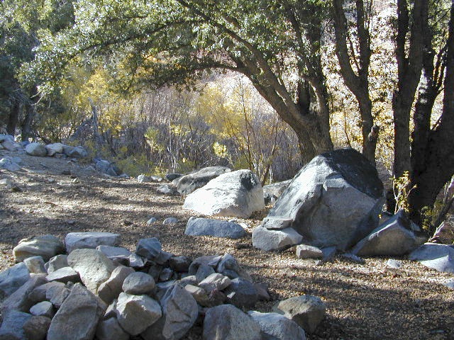
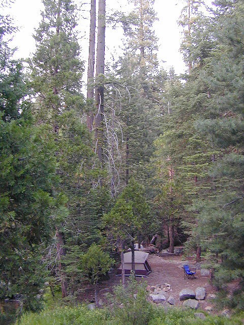
Coy Flat Camping
Giant Sequoia National Monument
Camp Nelson California
Southern Sierra mountains and the Giant Sequoias, inside Sequoia National Forest. In the Camp Nelson area, south of the busy National Parks.
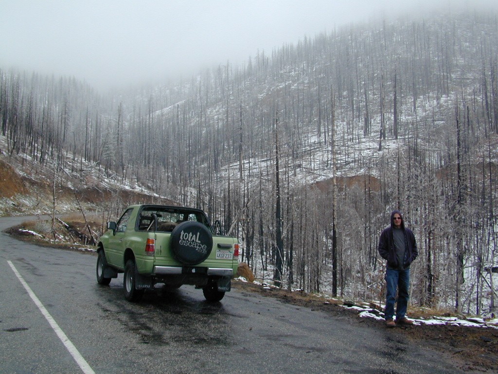
SEPT 2021: Closed due to the Windy Fire
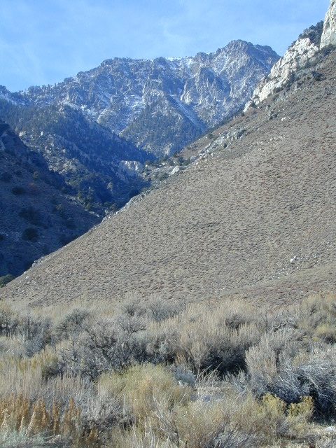
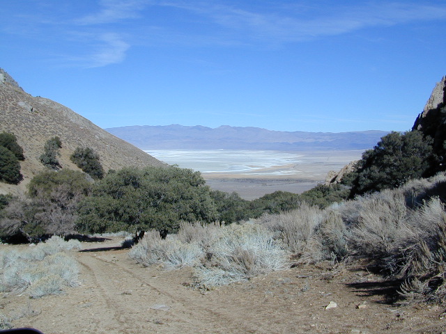
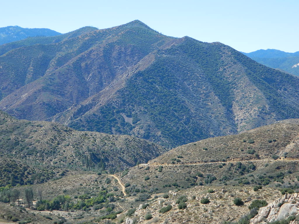
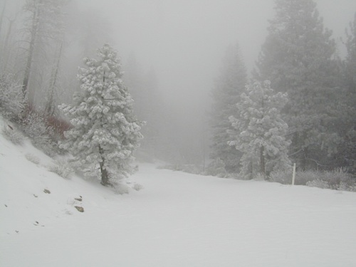
GIANT SEQUOIA HWY 190 – Western Divide Highway is the 7000′ ridge line that separates the Upper Kern River from the great Central Valley to the west.
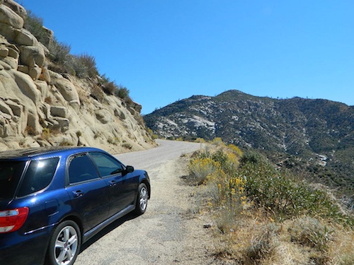
From the San Joaquin Valley – get to Porterville or Springville, continue up the mountain on the main highway, to the paved road turn off (Road #22S94) on the right side of the highway;
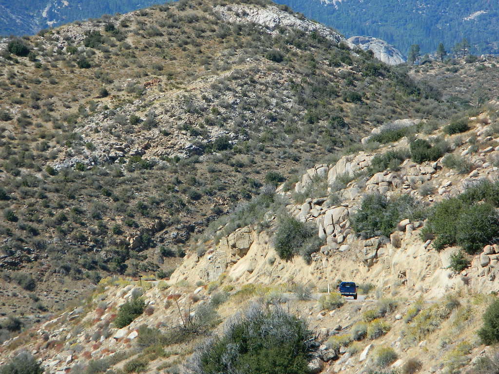
After Pierpoint Springs and before Camp Nelson. This quiet campground is located off the highway more than a mile, so traffic noise will not be an issue for the light sleepers. (Unless of course, a loud 4×4 rig screams by at midnight headed to the backwoods, or a horse trailer cruises by at 5am). This camp does border the Tule River Indian Reservation.

Western Divide Highway 190
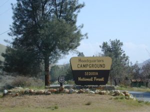
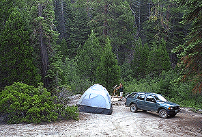
Giant Sequoia Campground
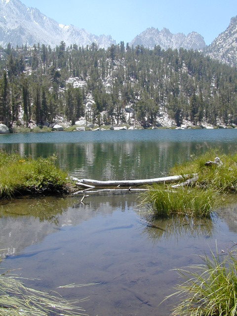
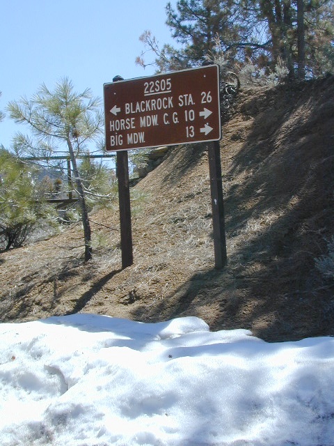
Sequoia Road #22S94 is a loop road leading to many forest meadows, groves, primitive camps and trailhead destinations. Bear Creek and Coy Creek flow near CoyFlat Campground, which both merge north into the Middle Fork of the Tule River @ the highway.
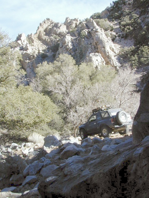
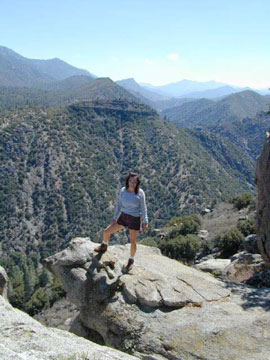
Belknap Grove is nearby, with Black Mountain Grove a few miles further on the dirt back road (Road #22S94) as it continues to Bateman Ridge and Road #21S12, near the Tule Indian lands. Mountain biking, rock climbing, backpacking and hiking all great in this region.
22S94 continues in forest to 8500′ elevation @ Windy Gap, where the Summit National Recreation Trail intersects road. Popular trail among horse riders. 22S94 connects back to Western Divide Highway, in between Ponderosa and Trail of 100 Giants. Awesome loop drive for those seeking seclusion on the dirt roads, away from the tourists and RVs. Call ahead to make sure that the dirt roads and gates are open, before you plan a weekend vacation around it.
• Elevation: 5,000′
• Number of Sites: 19
• Reservations: Yes
• Sites Available: First come, First serve
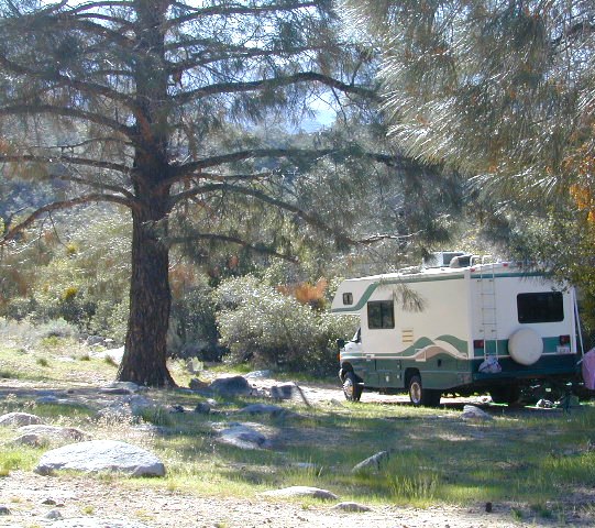
• Vehicle Accessibility: Vehicle 22 ft. max.
• Length of Stay: 14 Days
• Water: Piped; Seasonal creek nearby
• Toilet: Vault
• Season: Closed for winter months
• Fee: Yes
• Operated By: National Forest Service
• Closest Town: Camp Nelson, Califronia
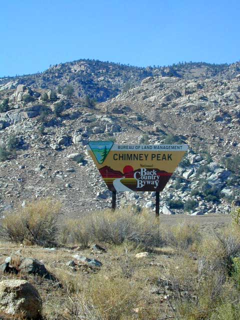
Sequoia National Forest
Giant Sequoia Ranger Station
559-539-5230
Due to the spread of invasive insects, firewood from outside the area is not permitted. Help protect our forests by purchasing or collecting firewood at or near your camping destination and burning it on-site.


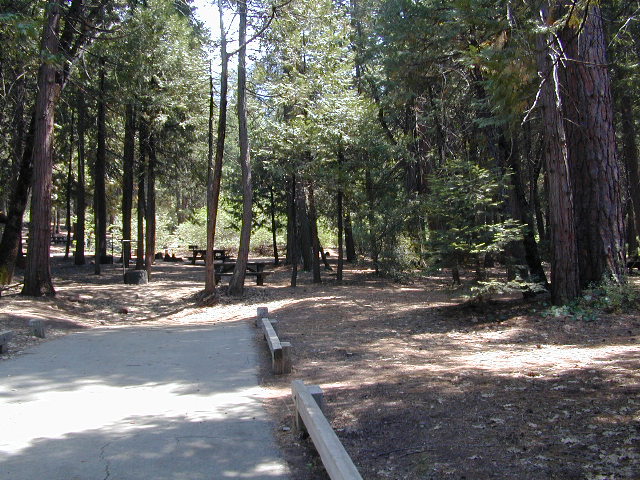
 Sequoia National Forest Campgrounds


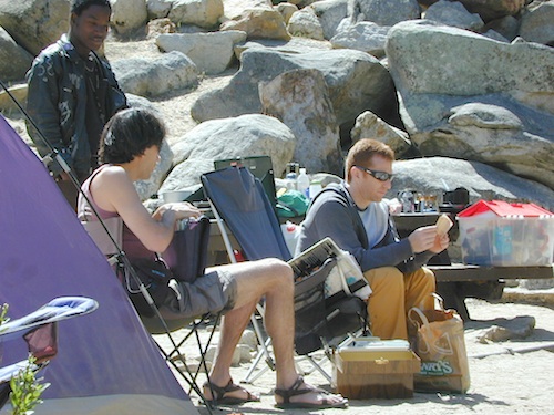
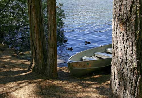
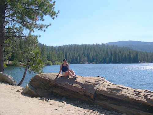
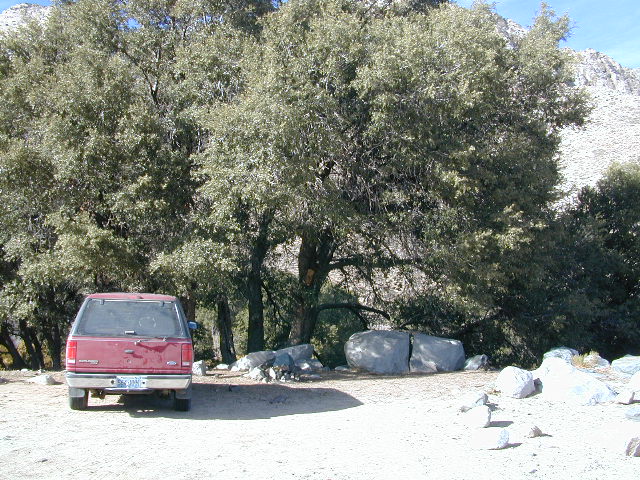
 No day use parking lot inside the campgrounds. Park outside the camping grounds for recreation: fishing, hiking, mountain biking, rafting or wildflowers.