

Numerous Mill Creeks exist in the golden state of California. Here we will list most of them, some with campgrounds and others without. Waterfalls, big rivers and
![]()
LASSEN NF
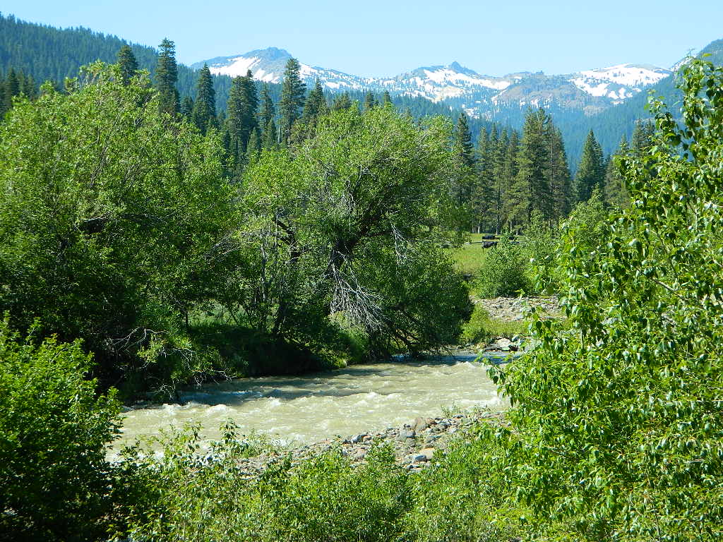
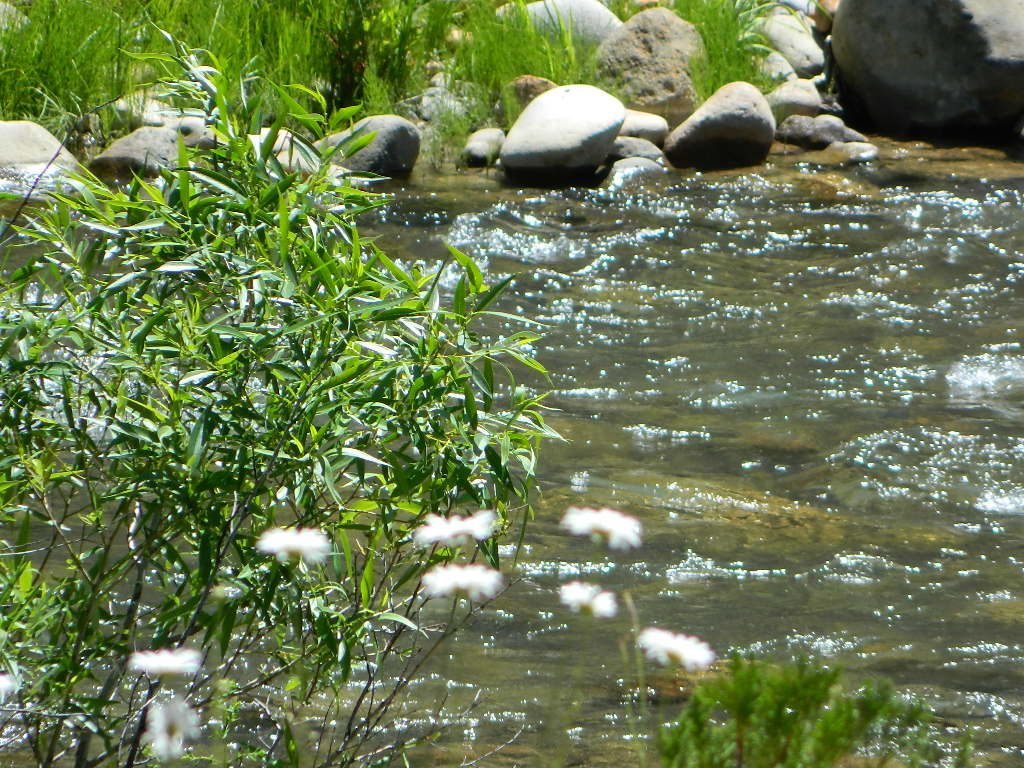
The well-known Mill Creek, is the one south of Lassen Volcanic National Park.
Certain areas could be closed to the public, due to the 2021 Dixie Fire

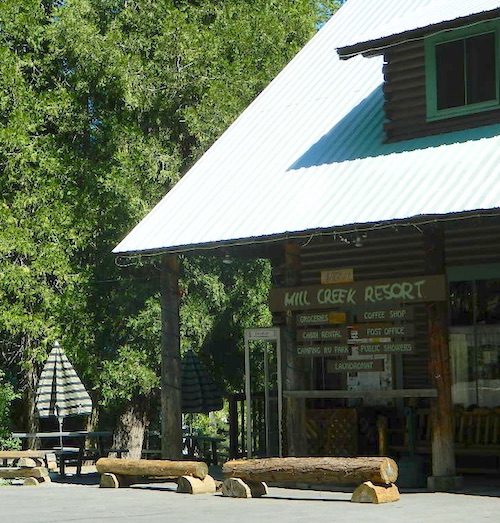
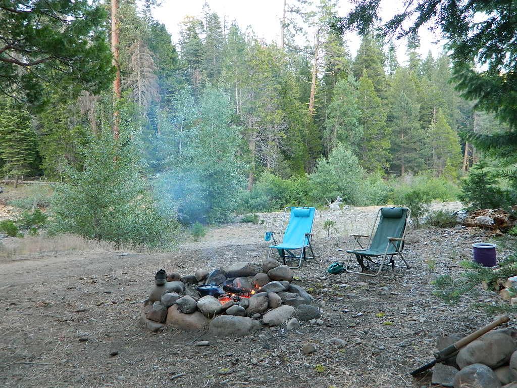
Small mountain resort in the forest near Mill Creek, with cabin rentals, RV camping and campgrounds nearby. A general store is open in summer months, and snow can be found in winter. Highway 172 makes a nice paved loop around this forested area and joins back to Hwy 36. Route may be closed due to snow in winter & spring. Free camping can be found along this creek, although a campfire permit is always required for camping outside of developed campgrounds.
Mill Creek Resort
40271 Highway 172, Mill Creek CA 96061
530-595 4449
Mill Creek Resort Campground
elevation = 4720′
- 14 tent sites
- 8 RV sites
- reservations & fees
- closed in winter
- showers & flush toilets
- picnic tables
- camp fire rings
Mill Creek Indians: Described as a group of ‘renegade and outlaws’, from multiple tribes in NorCal. Mill Creek Indians took shelter in secluded Mill Creek gorge, located below the Mill Creek Rim, a volcanic ridge which extends from Mount Lassen to the Sacramento River Valley. See more on Ishi Wilderness.
see also – Hole in the Ground Campground in Lassen NF
![]()
MENDO NF
Fouts Springs is a popular off-road camping area on the far east side of Mendocino National Forest. Many miles off I-5, near Stonyford, CA. Numerous NFS campgrounds exist is this rugged canyon. One of them is called Mill Creek Campground and it has few pine tree and lots of chaparral, plus a decent little creek flowing nearby. OHV – off highway vehicle use is heavy in this region, so know when to go. At certain times of the year this remote canyon can be quiet and peaceful. Call the local rangers to find out.

Stonyford Workcenter
5171 Stonyford-Elk Creek Road
Stonyford, CA 95979
530-963-3128
NOTE: RANCH FIRE, this whole Mendocino Forest was badly burned by recent wildfires.
Mendocino Complex Fire 2018
All of the Snow Mountain Wilderness was burnt and affected, including all the National Forest land surrounding it. Fouts Springs Campgrounds may have been spared, but the hills, trails and roads now lead to blackened forest. Many routes could be closed; check with ranger station in advance of travel.

![]()
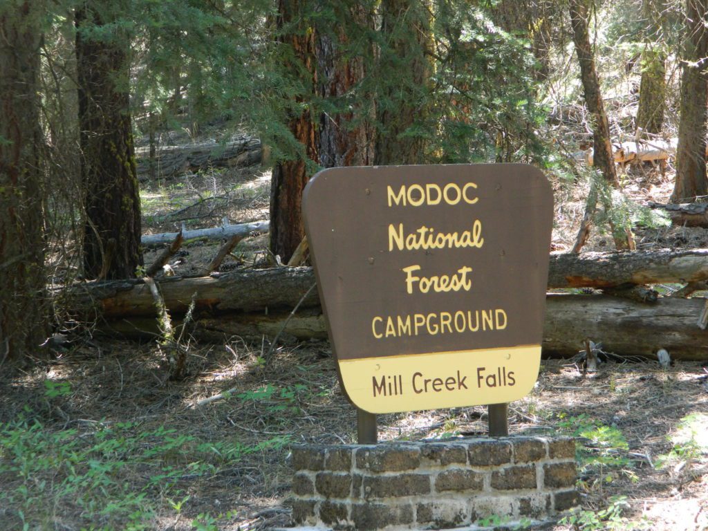
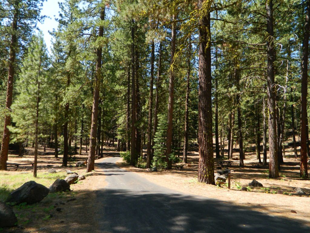
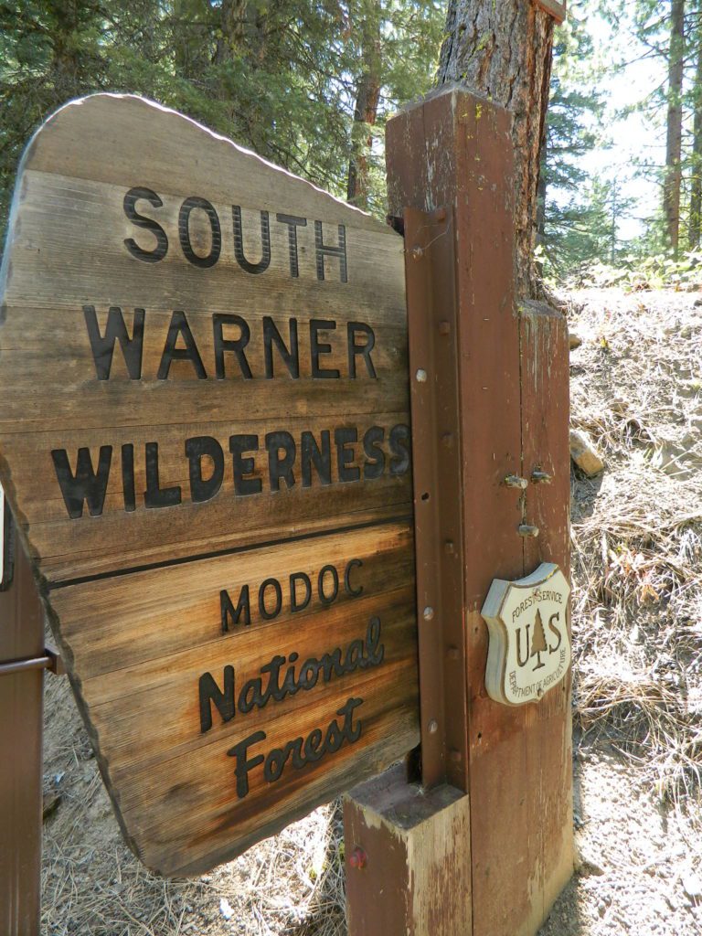
MODOC NF

Warner Mountains 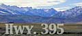
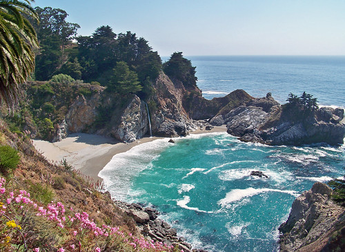
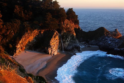
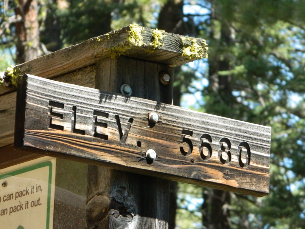
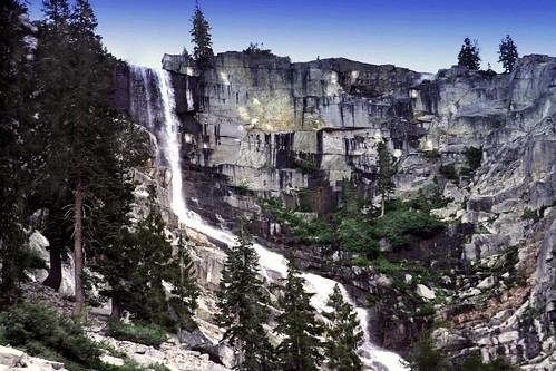
Mill Creek Waterfall is located on the western slopes of the Warner Range, near the South Warner Wilderness. On the headwaters to the Pit River; About 6 miles east of US Highway 395, near the town of Likely, south of Alturas, California
elevation = 5680′
- Mill Creek Falls Campground
- short hike to waterfall
- lake fishing & wilderness trailhead access

![]()
KLAMATH NF
Mill Creek inside the Marble Mountain Wilderness.
- Mill Creek Ponds Trailhead – Mill Creek Ponds Trail
- Etna Mill Creek Trailhead – Etna Mill Creek Trail
(Pacific Crest Trail access)

![]()
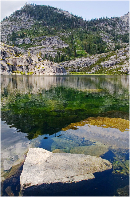
PLUMAS NF
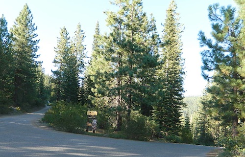
The Bucks Lake Wilderness region also has a developed NFS Mill Creek Campground. The camp location is well off the Bucks Lake Road, tucked deep in a tight canyon; northern most point and near a dam for the large  Bucks Lake.
elevation = 5200′
- 10 camp sites
- fee
- closed in winter
- 14 night camp limit
- RV = 21′ max
- pit toilets
- picnic tables
- camp fire rings
Bucklin Road (aka Bucklin Dam Rd and Road 33) #24N24 a paved road on the west end of Bucks Lake, connects to Road #24N88X which leads back to this smaller campground; camp sites are paved. Steep driveway down.
This Mill Creek intersects Bucks Lake at the campground, then connects to the PCT hiking trail, although the narrow dirt road #24N88X veers away from creek a few miles up.
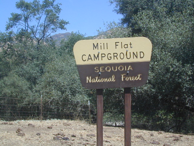
SEQUOIA / SIERRA National Forest
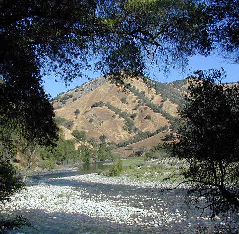
This Mill Creek is located on the south shore of the lower Kings River, above Pine Flat Reservoir. This is the boundary where Sequoia NF meets the big river, and on the other side of the water is the Sierra NF.
Mill Flat Campground (also known as Mill Creek Camp) is a shady, oak flat campground on a dirt road, located at a dead end canyon site, right on the rocky rivers edge.
As usual – the further you drive, the more seclusion you will find. This observation holds true for this Mill Creek location. During peak summer months, there may be families enjoying this spot, but most of the year it is virtually empty and rarely used.
Oak foothills, canyons, granite rocks, wildflowers. Fishing, camping, hiking, rafting, kayaking.
No cell phone coverage back in this deep canyon.
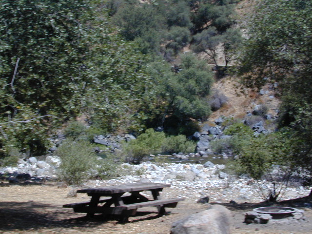
NFS Mill Flat Campground @ Lower Kings River
elevation = 1167′
- 5 camp sites
- free, no charge
- open year round
- 14 night camp limit
- RV = 25′ max
- pit toilets
- picnic tables
- camp fire rings


