Lassen Back Roads
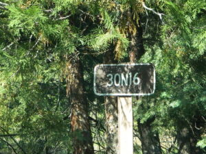
Lassen Rd #30N16 – Lassen National Forest
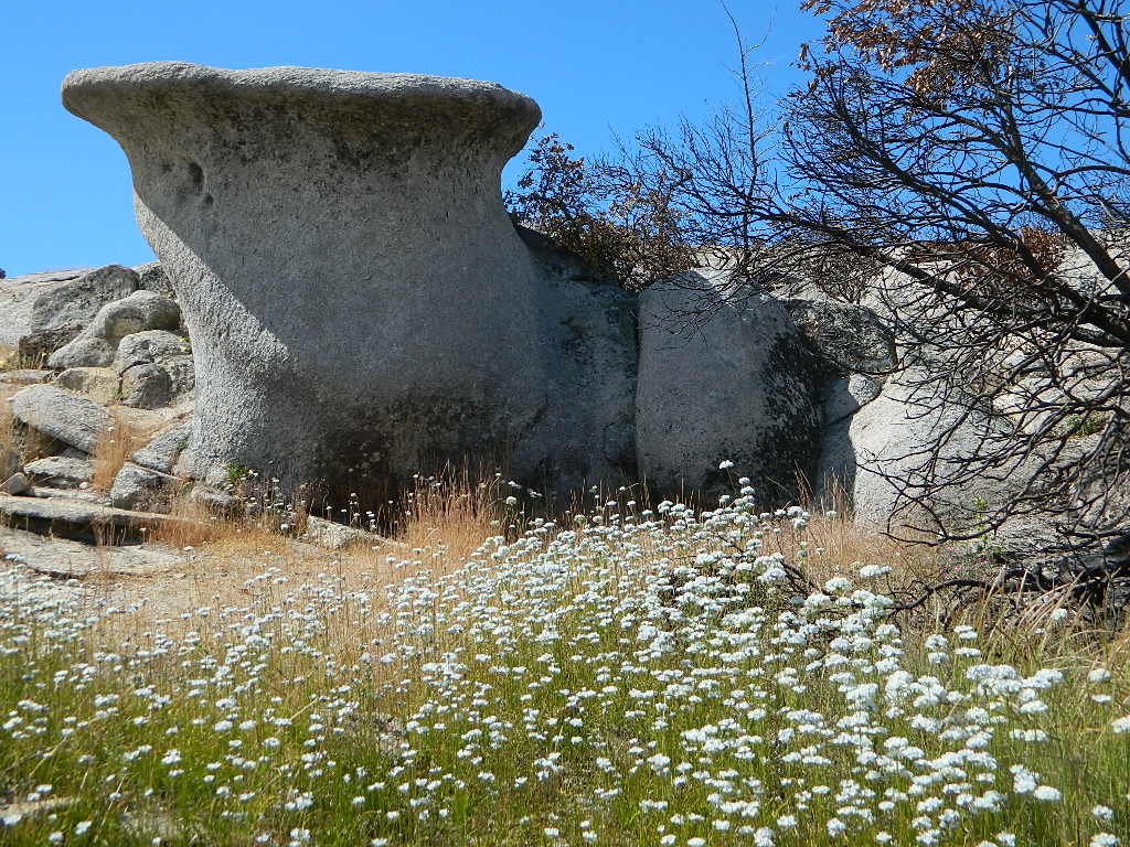
Nanny Creek / McGowan XC
E of Mineral, CA
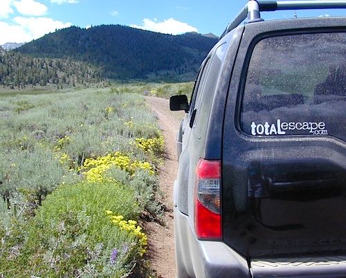
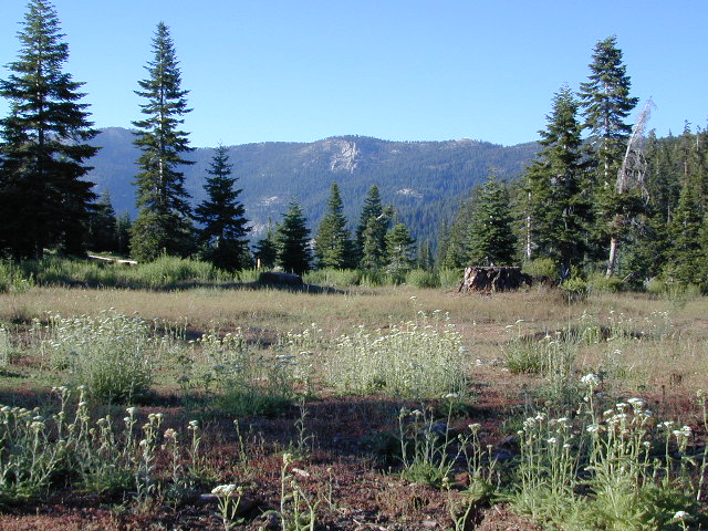
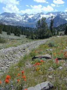
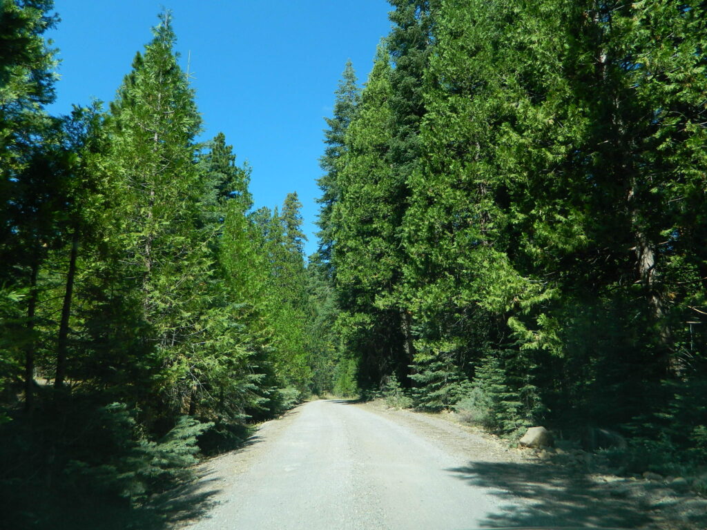
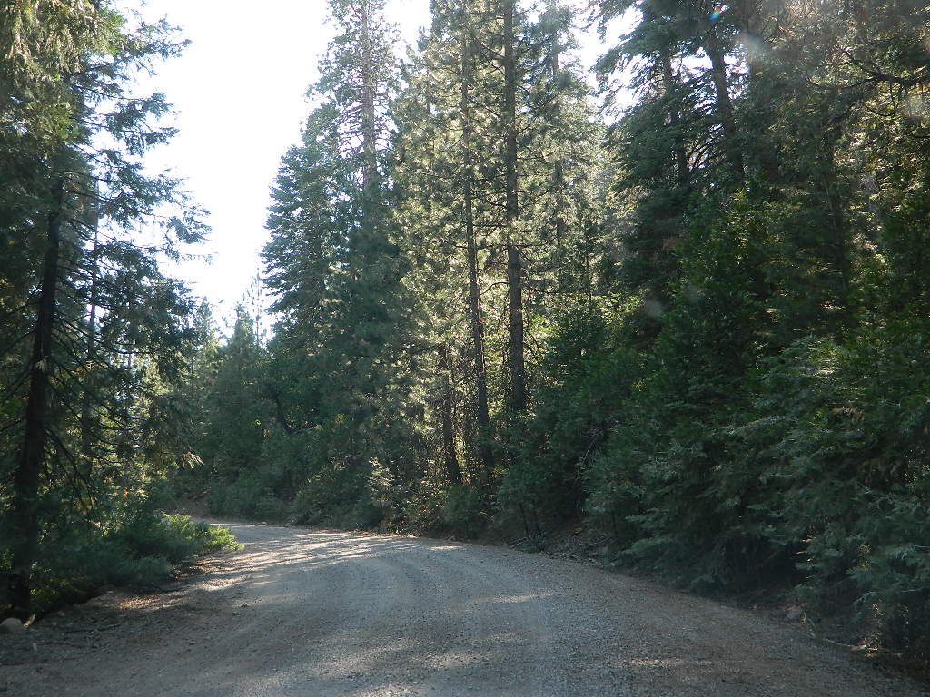
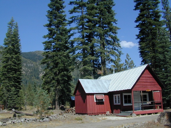
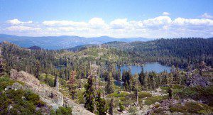
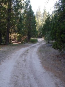
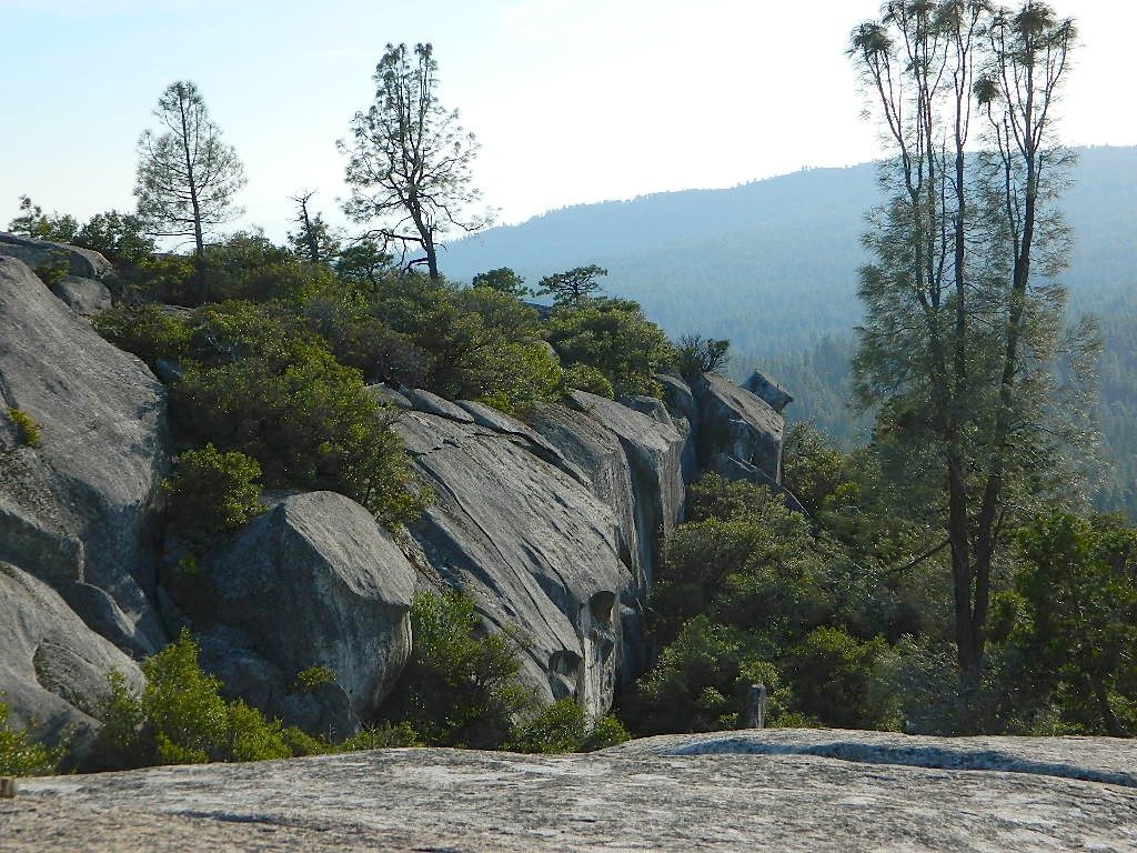
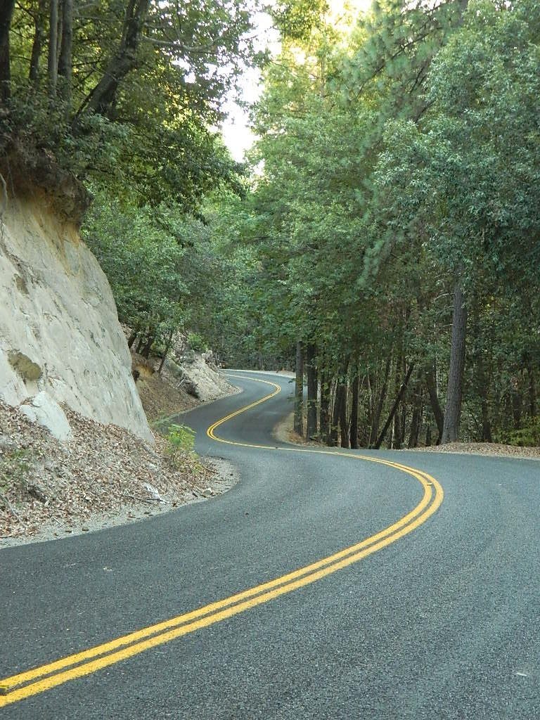
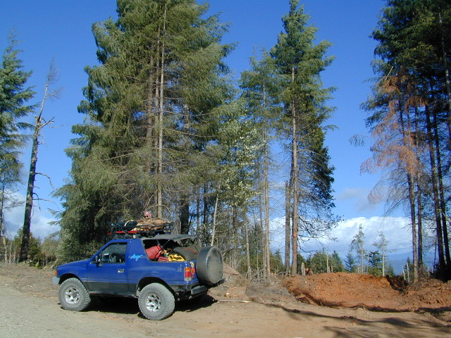
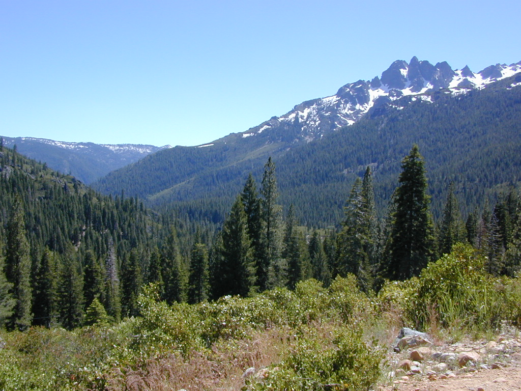
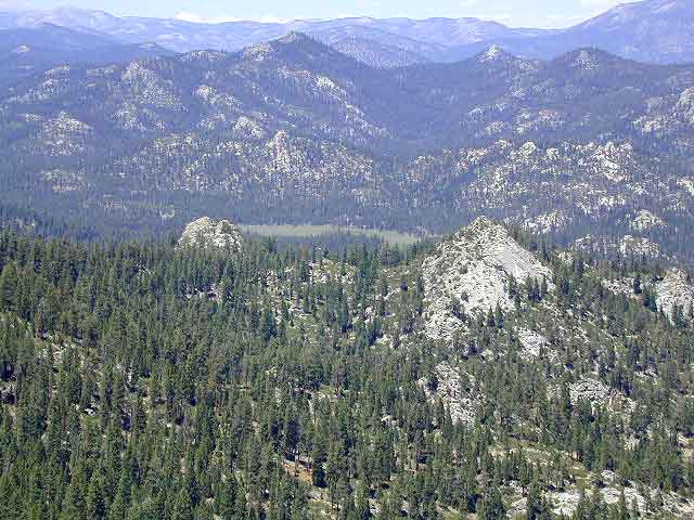
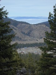
Narrow dirt road thru dense forest, connects Highway 36 to Lassen Route #29N22 (Dry Lake Trail) and then heads west to meet with Lassen Road 17 (aka #31N45)
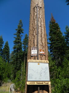
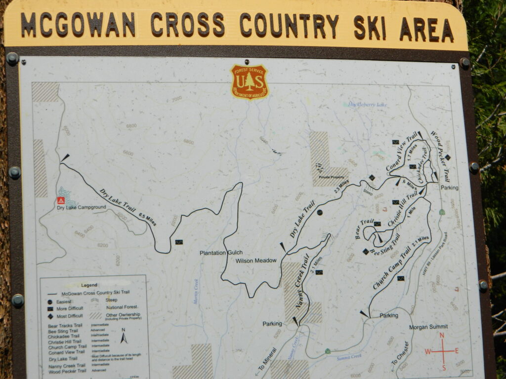
The McGowan Lake Cross-Country Ski Area has been in existence since 1982 and offers 10 miles of trails, 5 miles of which are periodically groomed.
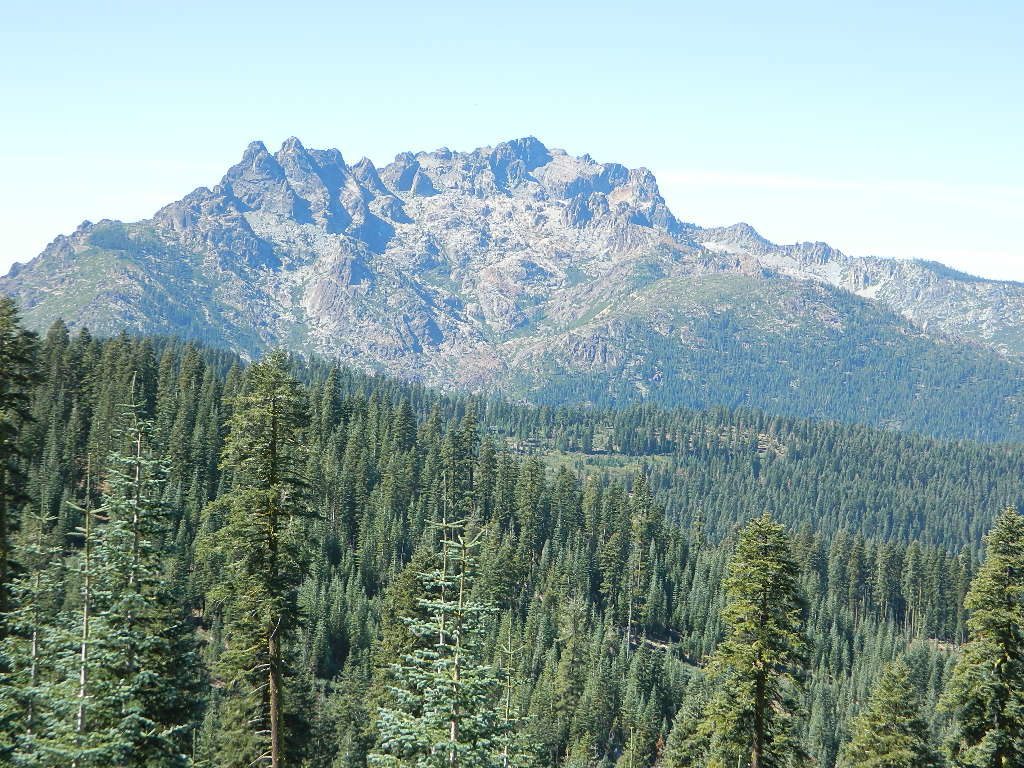
Literally in the shadow of Lassen Peak, McGowan area trails wander through mixed conifer forest and are popular with beginning to advanced skiers. Elevations range from 5,020 to 6,200 feet. McGowan cross-country ski trails are closed to all motorized vehicles.
click to enlarge map
NOTE: No OHV riding, nor snowmobiling on this route!
WINTER – snow fall begins as early as November and lasts thru May. Road can be muddy in late spring.
SUMMER – this dirt road is accessible by automobiles during warmer months only and is not gated.
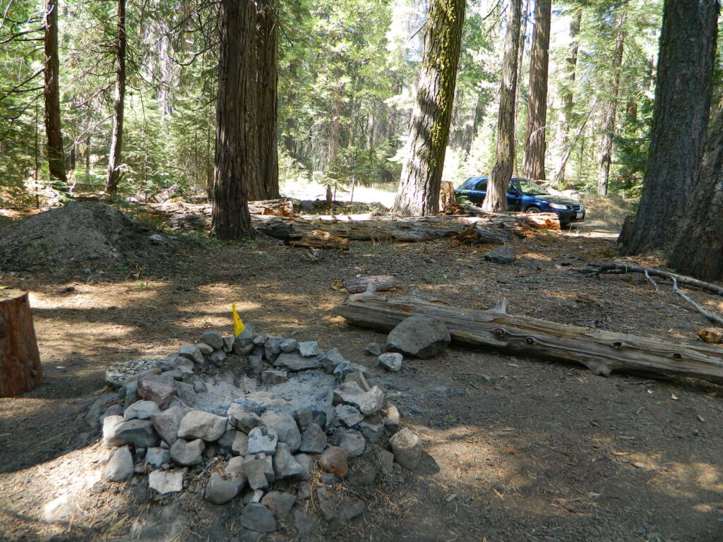
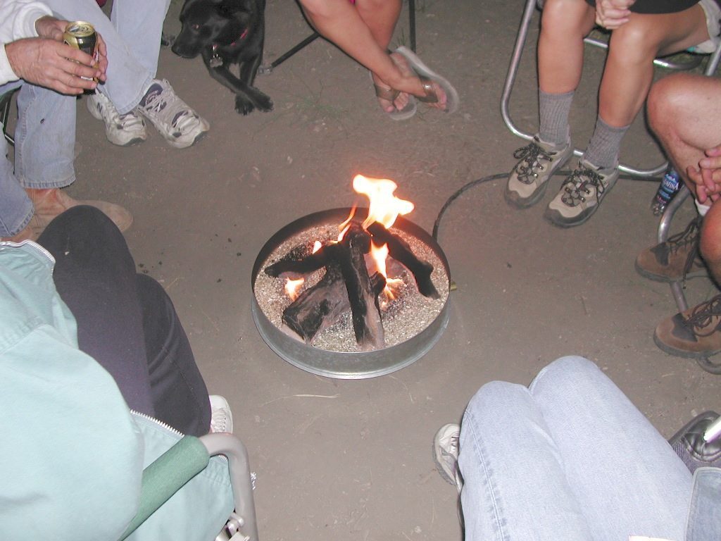
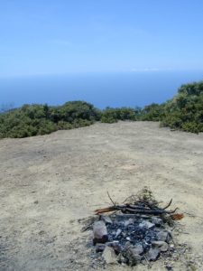
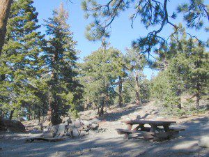
A few dispersed campsites along route 30N16, within the first mile from the pavement (Hwy 32). These precious few camps are usually in high demand during summer months! Head up hill a few more miles, deeper into the forest and find a real secluded site, dispersed style. Campfire Permits are always required for back country fires; found at nearest ranger station USFS in Mineral, CA
The first portion is a 2.1 mile long dirt road follows Nanny Creek about a mile, then it banks left, uphill to meet with 29N22. Sugar Pine Trailhead is located on this upper section of 30N16; a small wooden sign in a dense thicket can be seen on right side of road.
Junction with 29N22 #30N16 @ wide intersection w/ #29N22 – right turn for McGowan Lake, Christie Hill and the Volcanic National Park.
Road 30N16 continues westbound – Left turn for Heart Lake Trailhead, secluded boondock campsites and eventually, this dirt road ends @ Lassen Road 17 (#31N45) which is also a dirt road (and locally known as the Viola-Mineral Road), connecting Hwy 44 to Hwy 36.
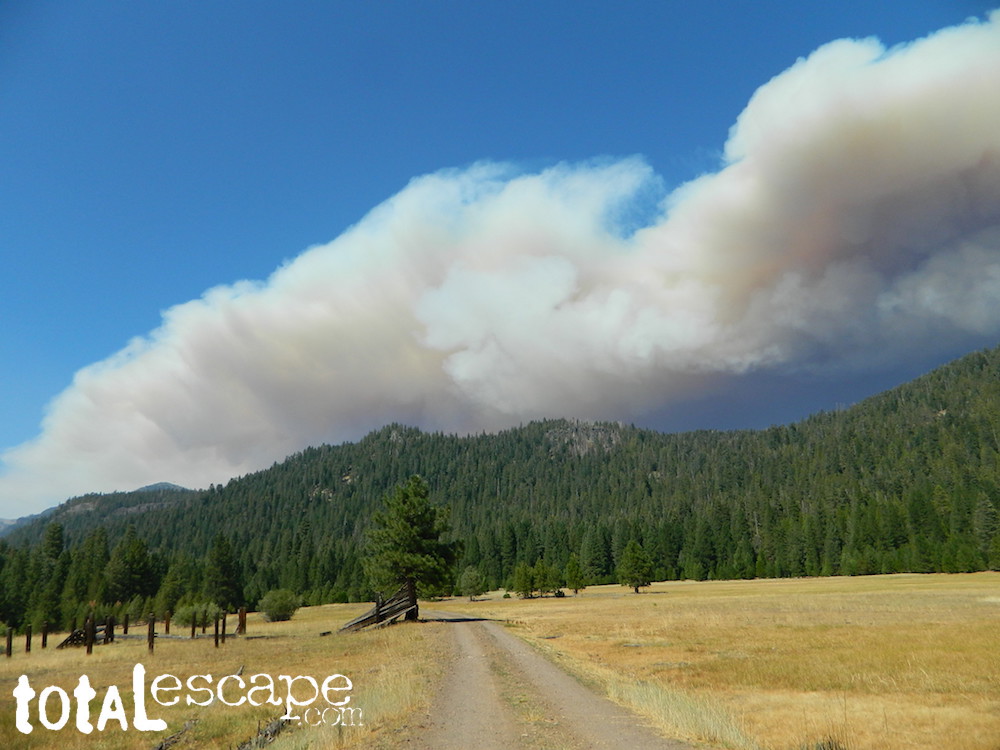
DEEP SNOW can keep these dirt roads closed well into summer months, depending on the snow year. Keep this in mind when planning any early season recreation.
Broke Off Trail Lane intersects this 30N16 road right at the highway (36). It is the hard left that heads steeply up the rocky incline and skirts the highway headed west; Connects to the White Fir Lane road system above the small town of Mineral, CA.
(before the dot com crash, before digital cameras, before GPS, before social media & way ahead of smartphones)
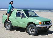
Sole creative force of Total Escape, Dana Williams left her 3D animation career to start living and working her dream job, online and off. Utilizing artistic talents, computer skills, a vast knowledge of the California landscape and a simple love of nature, to make it all come together for a killer web site called Total Escape.
27 years online means fresh content & updates every month; reworking web code every few years to keep up with various browsers, apps, maps, and wildfires.
“travel agent to the back woods”
Living close to the earth with organic gardening and rural living, DanaMite strives to offer California residents, new-comers and visitors unique, local destinations, concentrating on the outdoors – well away from overcrowded, busy, urban cities and tourist traps. Total Escape can show you how to discover the secret, hidden spots on your public lands that the gov web sites will not even dare to mention.
help keep
total escape
online
the independent source for California travel
NO CORPORATE sponsorship No venture capital No government subsidies No annoying pop-up ads
No scripts chugging bandwidth No membership needed
Decades without a television set lends plenty of time for studying terrain, topographic maps, GPS coordinates and thousands of photographs to compile more than 8000 pages on just California travel. Far from the daily grind of everyday life, DanaMite continues in educating the public about local travel, camping, family farms, organic cafes, outdoor recreation, respecting the land, responsible use of our resources & how to get more enjoyment out of weekend travels.
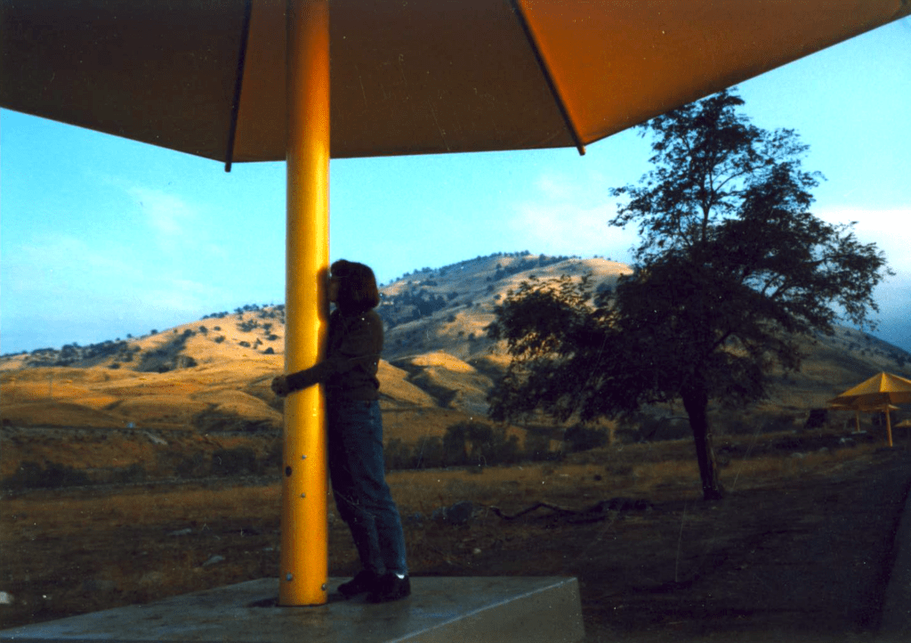
40+ years of documenting back roads of California, plus some Baja & Utah too!DanaMite loves Utah, almost as much as she loves California.Tejon Pass “Cristo’s Umbrellas” art installation 1991. Photo copyright – Kevin Robinson
California Fire Lookouts for Rent
US Forest Service Cabins
Rent a secluded cabin with an amazing view, a historic tower for wildfire spotting, or a USFS guard station – hidden deep inside USDA California National Forests. Several of these NFS lookouts have been closed recently, so the ones listed below have links to status and reservation information.
Dirt road access is common to reach these remote locations. Some require stair climbing, or steep access hikes. Winter months are usually snowy, inaccessible and sometimes dangerous for these high country locations. Access roads suffer from closures due to rock slides or landslides. Check with the locals ranger station for current conditions.
A few of these rentals are open all year long – in the southern part of the golden state.
El Dorado National Forest
Harvey West Cabin
4,720′ elev. on Silverfork American River, Gold Rush
step 1. kill your television step 2. get outside, everyday step 3. sleep overnight, under the stars
For those who may be still trapped in TV-Land, welcome to Total Escape, a dedicated web site all about the “real world” of wilderness and non-fiction, California style.
Before I started my web business people would suggest to me that I need to write a book. So I naturally chose the world wide web. Now decades later, they are still asking the same question. “Why don’t you write a book on this stuff?”
I say “I did, it’s online. On the internet already. Go look.”
Puzzled, they would turn away to gaze at their device.
Total Escape was created in the web 1.0 days (1996), so I could easily keep track of my many travels, the awesome destinations, my recommendations, my travel logs, zillons of photographs, camping trips, the back roads, signs, maps, GPS, all of it. I worked my day job doing 3D & then moonlighted starting this small web biz. My biggest draw to the internet format at first was being able to update outdoor info instantly. Secondly, it was the ability to work from anywhere with a phone line. (56k anyone?)
No toxic inks, no newspaper. No glossy mag. No waste. Just free digital energy about outdoor destinations, transferred across the cyber waves, just for you the avid Escaper.
Then came the buy-out offers and seasonal magazine ideas from sources in San Diego. By late 2003, none had solidified. Several print magazines did however mention totalescape.com in a few articles, which resulted in some nice traffic spikes. Eternally grateful for the early on-lookers and participants!
Quite personally, I had already had my share of smelly inks, papers & paints in art college. Working in a computer career field, I was fully aware of the web in the early 1990’s. I was ready for the computer age & the internet. Eager in fact! Ready to make that leap from graphics & print concepts over to web windows was all I thought about for years.
I did not want to print anything; waste anything. I wanted my biz to be state of the art, futuristic – so here I am, 26 years later. WOW!
Thousands of photos, hundreds of destinations, all local to California. All by itself, Total Escape is a Parks and Recreation Magazine online – and always updating.
DanaMite
Total Escape – California, Off the Beaten Path totalescape.com
CALIF WILDFIRE:
Bear Fire, North Complex Fire @ Berry Creek, CA
Sequoia Swipe
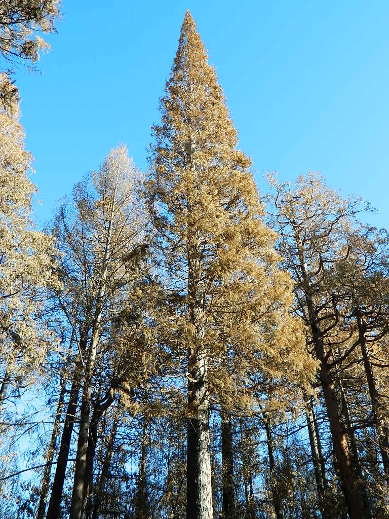
No this is not Sequoia National Park, nor Giant Sequoia National Monument, although certain historic groves did burn this past summer – inside Mountain Home SF.
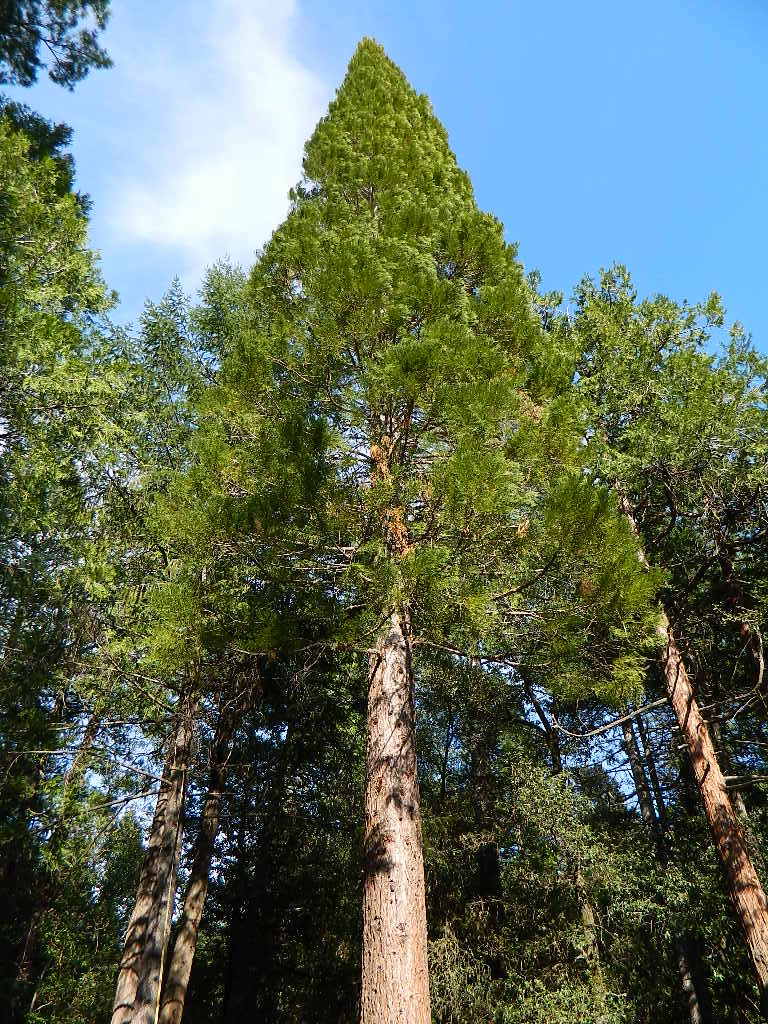
This Sequoia here, is the best tree in our front yard.
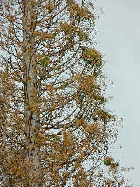
Some say that older Sequoia trees can withstand fire, but not if the fire burns the crown (tippy top). Since our tree is young (60+ years old), compared to most Sequoia trees, we’re not too sure if ours will survive. But we have been watering it for months and hoping for a good winter rain w/ snow.
UPDATE DEC 2021
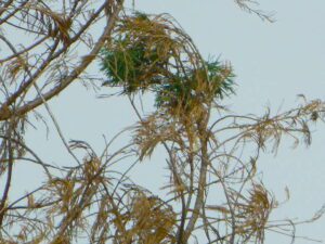
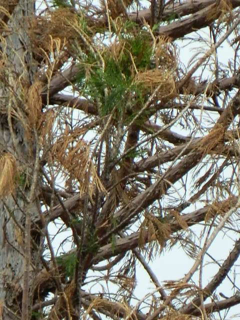
Puff of green started appearing late Spring. However minimal, I still got excited enough to photograph it.
Mostly brown, but green appearing May 2021.Holding out hope for the Sequoia.
We watered this Sequoia all summer (2021) long and now we have a good rain spell in Autumn heading into Winter, so I am hoping our Sequoia – plus the neighbors 2 Sequoias, can make a serious come back.
SEQUOIA PROGRESS
Will keep posting our growth progress, as soon as I see more green – mid 2022.
No one is sure when these Sequoia trees in the Berry Creek region were established, since these pre-date our knowledge and the county records.
June & Curly may have planted these back in 1950; or maybe Mr. Coe or Sorensen around 1960. Could it have been the Maidu tribe (native Americans) who transplanted seeds from south to north? Doubtful.
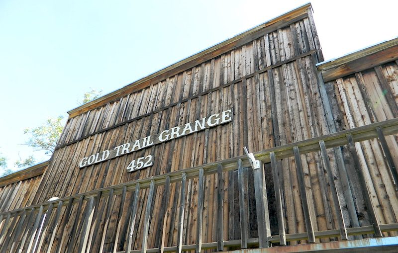
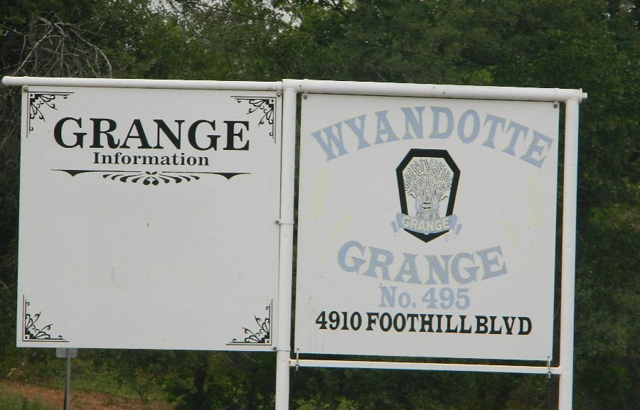
Why are most California Granges now called Guild Halls?
Simply, it’s FOOD politics.
Corporate food power versus local food production: organic, GMOs, bees, pesticide drift and a host of other issues. In 2011, all hell broke loose with the historic Grange Halls – newly elected officials, and the national goals versus the local community interests.
The following year California was voting to label GMO foods, a proposition which educated millions of eaters and chemical corporations spent gazillions opposing the bill, but it was only narrowly defeated. The National Grange was standing on the opposite side from the California State Grange on this important food issue. This may be when the chasm began to widen.
Hippies, yuppies, left coast thinkers. Fruits, flakes and nuts! Tree huggers, eco-terrorist. Damn liberals. Food and California.
Remember that half of California voters knew about genetically engineered ingredients a decade ago. Many of them made diet decisions based on new information readily available. Maybe they sometimes exercise outdoors, and dig this web site. Others choose to ignore the food topic and ingredients listed. Call it denial. Call it an obesity epidemic.
Although the labeling law did not pass, many companies begin putting NON-GMO labels on the front of the food packages anyway. Health food manufacturers, now major brands, especially food produced inside California.
The local food movements in cities and in rural communities started growing, prior to the year 2000; Grange membership began increasing (for the first time since the 1950s) as young farmers and organic farmers took a new interests in “creating community” and finding a cleaner, greener way to the future of food.
Now we have farmers markets and CSA’s (community supported agriculture programs) all over the nation. Fresh food deliveries on a weekly basis. Awareness has only been accelerating on the food topic – with organic food sales rising steadily over the past few decades.
The California State Grange backed 2012’s Proposition 37, which mandated labeling of genetically modified foods….
The National Grange suspended the California State Grange’s charter in September 2012, and revoked it in May 2013
We are anti-pesticide, anti-fracking but we are for food sovereignty. The National Grange is dynamically opposed to all of those. They are pro-GMO, pro-pesticides, pro-big farming as opposed to small and local farms. Politically there is a dynamic difference.
Food Movies: Food Documentaries, GMO Movie, Farm Documentary Films
Great rural location, in-route to many destinations in Southern Cal. Temecula wine country, Warner Springs, Culp Valley, Anza Borrego Desert State Park, Borrego Springs.
Campground is a popular spot with locals, so note that some weekends can get rowdy. Ask about a more secluded camp site option if needed. There is plenty of primitive land out here.
Oak trees and boulder hills, dirt roads, near Hot Springs Mountain. North San Diego County.
There once was a time when we connected more with nature. Before we closed ourselves off, behind the doors and windows, behind the computer screens, before the internet became part of daily life.
Overweight and obesity is now epidemic in America (as if you didn’t notice). Fast food feasting and soda pop, GMO-gut disorders – and yet we’re still frustrated or disappointed with life; Addicted to television, processed food, copious amounts of sugar, daily coffee, smoking, prescription drugs, and what else.
Wi-fi streaming, video games, always indoors, online, enjoying air conditioned cubes. Inactive physically, emotionally vacant, bored with our choices and always on social media.
Stop and think. Look what has happened to us.
Is this the life you envisioned?
Cooking over a camp fire and real conversation are just a few examples of what we have lost in our modern world of technology, fantasy and face-time. Fresh air, wild flowers, alpine lakes, star filled skies and total silence – all still exist in certain areas, but you must know where to look. Birds and bees, wildlife is disappearing at extinction levels. Pollution, powerful corporations and politics.
Stop and look. See what has happened to earth.
Is this the world you envisioned?
Gone! Away, split, out of town. Off work, out of school, on vacation. Outdoors, always. Far, far away. Unplugged, out of range, vacant lands, big trees, open skies, clear views. California is the land of dreams. Opportunity, fantasy, education, agriculture, terrific terrain and epic scenery. Campfires, waterfalls and mountain meadows are waiting for you.
Taking time off of work – or your typical daily routine – is often rewarding physically as well as mentally. Imagine a week away in a gorgeous location, with minimal to do. Really relax, zone out, chill. Gaze at the water, nap in a hammock, find wildflowers, deer bones, or bear fur on a tree. Cook over the campfire, stargaze every night.
Running to a general store for ice will be your biggest task of the week.
Wilderness boundary, abundant dirt roads and freedom; cell phone calls dropped. Beyond the city limits. Well past the county line.
Roads do lead out of the matrix, if you desire to follow them. Concentrate on a new reality – and disconnect long enough to commune with nature. Find the free time to really relax and re-evaluate life. Explore other options, consider real life in the bigger picture. Hike, bike, walk, camp, birdwatch. Be outdoors, often!
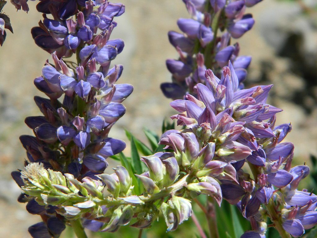
Beat the Summer Heat and head to upper elevation Cool ForestsCurly Lupine @ Mill Creek, CA
Cheap Road Trips
Total Escape is your California planner. We’ve been doing this “region” for more than 30 years, always focusing on the back roads. Discover hidden secrets, meadows and unknown waterfalls. Find free campsites, canyons, rivers, creeks and new places to explore.
Sierra Madre Road Sierra Madre Ridge, San Rafael Wilderness
Los Padres National Forest Forest Road #32S13
off of Cuyama Valley Hwy 166
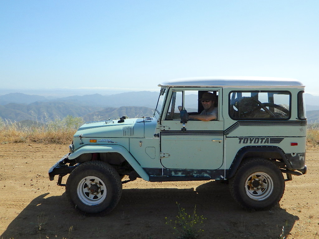
East of Santa Maria, CA – along Highway 166 (on the south side of the pavement) are several dirt roads that lead up to the main ridge road that access this part of Los Padres National Forest.
backpacking
camping
dirt bike trails
dirt roads
hiking
horse camping
mountain biking
off road routes
petroglyhs
wildflowers
4WD not required, but high clearance is helpful. Open almost all year. Rainy season gate closures (at hwy) during winter months.
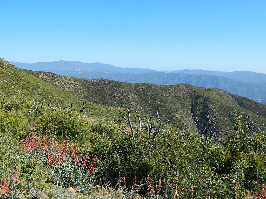
Sierra Madre Ridge is forest road #32S13, which parallels Hwy 166 (Cuyama River) for over 50 miles on the Sierra Madre Ridge at approx. 5000 feet elevation.
NOTE: A good stretch of this dirt road is closed to vehicle traffic. Although it connects to Santa Barbara Canyon near Ventucopa, you cannot drive it. Only hike or mountain bike!
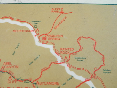
NFS Gate locked at the HOG PEN trailhead, and from there you can bike or walk all the way the other end at Santa Barbara Canyon near Cuayama Fire Lookout @ Dick Smith Wilderness
Small campgrounds in the region:
off Highway 166 Miranda Pine Campground (on 32S13 @ 11N03) Bates Canyon Campground (via Cottonwood Canyon Rd) also known as White Oaks Campground Aliso Canyon Campground (via Aliso Canyon Road) not accessible by vehicle, from dirt road 32S13; only by trail
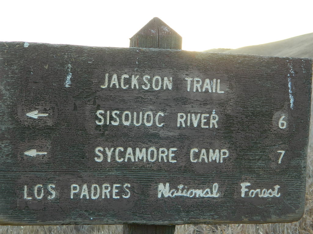
in the backcountry Painted Rock Camp (hike-in) Sycamore Camp (hike-in)
Decimated forest at Bald Rock: Trail Closed 2020-2021
Bald Rock, North Sierra Nevada Mountains
Big Bald Rock
elevation: 3350′
2021: CLOSED due to wildfire damage
Bald Rock Trailhead, Berry Creek, CA Located above Lake Oroville and near the Middle Fork of the Feather River, this well known trailhead is a 1 mile (short, steep & sweet) climb on top of granite rocks – to a wonderful view over the North Sacramento Valley. Dirt parking lot w/ bathroom in a forested setting. Can get muddy during winter. Seasonal creek runs along first part of the hiking trail. Locals like to party here at night. Families hike during daylight and sunset hour. Trailhead sign is well marked on paved Bald Rock Road, about 6 miles from the Oro Quincy Highway.
The granite dome hike (above) is often confused with a neighboring trail to the south, called Bald Rock Dome, located at the granite gorge of the Middle Feather River. A much longer hike w/ a canyon view, switchbacks, and longer dirt road access…..
Another dome hike in the same area as above, but on the other side of the pavement; gravel parking lot, and trailhead via dirt road; a right turn off Bald Rock Road (when going north). Near the residential forest of Berry Creek, CA
The official map for Lake Oroville SRA has a granite dome marked as Little Bald Rock @ 3334′ elev. The USDA Plumas National Forest map has both a Little Bald Rock and a Bald Rock Dome (3509′) located on this side of Bald Rock Road.
As you can see listed below, giant granite domes or mountain peaks or river canyons often have the generic name of ‘bald rock’ There are also a heck of a lotta Bald Mountains inside the golden state.
also, in the vicinity –
Bald Rock Canyon is downstream from the big waterfall, Feather Falls, on the Middle Fork of the Feather River; This stretch of wilderness waterway is called Feather Falls Scenic Area which includes, Milsap Bar Campground; Maybe be accessible, by 4×4 and steep foot trail – from the opposite side of the river. Off Lumpkin Road, which is off Forbestown Road (@ 162 above Lake Oroville) 2021: CLOSED due to wildfire damage
Bald Rock Peak (elev 7166′) a mountain peak near Chilcoot Campground and Frenchman Lake, N of Hwy 70 in East Plumas National Forest
Bald Mountain (5780′) off the Skyway, next to Stirling City, CA
Fire Lookout CDF, weather cam & antenna site
On the north side of the lake is Grass Valley Bald Mountain (5906′ elev) in between Black Rock Creek and the northern shore.
The La Porte Bald Mountain Peak (5906′ elev) is located in dense forest, in Plumas National Forest; In between LGVR and the town ofLa Porte, CA 4959′
Area accessible via a long and curvy La Porte Road, which closes in winter on the north end (East Quincy). This Plumas County area is popular w/ snowmobiling due to the amount of snow they receive.
Bald Mountain Range, due north of Truckee and Stampede Reservoir. Near the CA / NV border. Babbitt Peak @ 8790′ is the tallest peak within this range. Historical Henness Pass Road passes through this area.
Bald Mountain Peak @ Sugarloaf Ridge State Park (2279′ elev) located in between Napa Valley and Sonoma Valley.
M22 Mendocino Forest, eastside Forest Route #M22 is on Valentine Ridge, east of South Yolla Bolly (elev 8092′) and near Bald Rock Mountain (7762′). Road M-22 is also known as Bald Rock Road. Mendocino National Forest – Two trailheads up this way are Ides Cove and Horsepacker. M22 wraps around south to Ball Rock @ 6663′ elevation, near Rocky Cabin Campground. Cold Springs Guard Station, Ball Mountain 6557′ and Whitlock Campground are on this route. Much this region has been burnt in recent wildfires of 2020 #ElkhornFire
Popular, local snow ski destination for “the southland”; south of Pasadena, near Rancho Cucamonga, in the San Gabriel Mountains.’
Bald Mountain Road, also known as Inyo Forest Road #01S05, near Indiana Summit and the Mono Craters. East of the Eastern Sierra & US 395; south of Mono Lake, California.
Bald Mountain Road, near Bummerville, California.
Gold Country Sierra Forests, East of Hwy 49 @ Jackson, CA
Bald Mountain Road, rural ranches & residential;
and Bald Mountain Nursery in Browns Valley, near Marysville, CA
Bald Hills Road, Redwoods NP
Bald Hills Road, Northern California
Well- traveled, graded dirt road connecting the Redwood National Park to the Klamath River @ Hwy 96. Primitive camping, but check on fire restrictions. Must have camp fire permit. Active logging roads on National Forest land, so weekdays could be busy: watch for equipment and big trucks.
Gold Lake, Sardine Lake, Upper Sardine, Smith Lake, Packer Lake, Grass Lake, Sand Pond, Goose Lake, Snag Lake, Long Lake, Jamison Lake, Round Lake, Deer Lake, Tamarack Lakes, Young America Lake, Frazier Falls
California is the land of granite peaks. Rocky, exposed mountains that stick up out of the landscape for all to see. Southern Cal has a few of them, but most granite peaks in California are found in the Sierra Nevada.
US 395 Eastern Sierra impressive ridge lines are the highest and most photographed and Lake Tahoe has plenty of big granite surrounding it. The farther you go north, the less granite you will see – not because it isn’t there, mostly cuz it is just buried with tall dense forests.
lakes basin day hikers
NORTH SIERRA – The Sierra Buttes are the impressive granite peaks located in between the North fork of Yuba River and Sardine Lake.
SE of Mount Lassen and NW of Lake Tahoe, at the tippy top of the historic gold country. Gold Lake Road #24 connects Gold Country Highway 49 to North of Tahoe Highway 89. Road #24 is often closed for winter snow, so most visitors enjoy this region in the summer months.
The infamous PCT (aka. Pacific Crest Trail) passes the peak and goes north through this basin of alpine lakes, so backpackers are often seen. Tent camping is very popular, as well as RV camping w/ numerous developed campgrounds and open camping as well. Some of the hard to reach primitive camp sites (next to lakes) can be accessed via 4×4 vehicle. Gotta have a good topo map.
Downieville is well known for the mountain biking trails, so this whole region is covered with amazing trails. Snowmobilers and cross country skiers love the area during a good winter snow and they can access this area from the north off Hwy 89.
enjoying quality time alone is not weird, wrong, or unnatural, no matter how many strange looks you get from friends & envious co-workers
Stop waiting for someone to do things with. Quit thinking that your best friend or partner will one day magically suggest an outdoorsy road trip, or day hike, or mountain bike ride. YOU are the one who craves the wildness of the earth, the unexplored, the secluded. The time is now for you to start living the life you want, outdoors, in California – today!
maybe it’s time to leave the city, for good
If you’ve just about had it with the pressures of everyday stresses, the wifi city life and the busy pace of civilized society is starting to get to you. Get a clue fast – before you loose your marbles. It’s time for much needed rest and relaxation. Nature is the best place to relax and reconnect with yourself and mother nature.
A change in scenery. A fresh perspective. A real break from the norm. No shopping, no errands, no phones, no television, no computers, nobody around. No one, except you.
Unplug yourself from the hectic rat race and go exploring. Give yourself time to fully unwind: time to think, time to enjoy the outdoors and really find that special place of peace that comes only from earth. Yes, all by yourself.
VISION QUEST
Call it an annual primal ritual, or a first time experiment, traveling solo can be a blessing in disguise. Learning to be alone outdoors, become more aware of the physical world and enjoying yourself is an important key to a balanced life. Whether you seek a quick refresher course for the weekend or a full blown month long road trip, seeking a new comfortable destination and the art of basic relaxing is the main focus for this trip.
slow going
When you travel alone, it’s easy to take your own sweet time. Going slow is something we don’t usually do in our busy city lives. Time is so precious, so you may as well stretch that vacation out as long as possible. Savor the moments.
Take as long as you like for – photography, picnicking, hiking, stretching, yoga, cooking and stargazing. Firewood collection becomes the biggest chore of the day, and it could take hours. Walking from camp, every direction will lead to a new adventure. Driving back roads at 20 mph is luxurious. No one to be your back seat driver. Sleep in every day if you want. No pressures, no schedules, no big worries. Sunlight, food, heat, weather, cooking and cleaning. Sit back and learn to really relax. Enjoy a secluded camp site for a full week, and get to know the wildlife on a first name basis.
Follow the back roads to seclusion, or reserve several days at a unique campground. Imagine night after night of peaceful rest, with the sounds of nature surrounding you & the stars of the heavens dancing across the darkest skies.
Explore new terrain every day & move to a new camp every night. Or make it a “stay put” week-long meditation, in one spot. Whatever fits your needs. Either way, you’ll enjoy the solitude & the healing powers of nature. Answering to no one but yourself, you may feel guilty or kinda selfish the first few days, but this will fade as you learn to embrace the solo journey.
And it doesn’t hafta be all about roughin it either. While backpacking into the almighty wilds of the true wilderness has its good points – along with life threatening dangers possible every day, a simple quick weekend trip to a nearby small inn, fishing lodge, or a bed & breakfast could work for the pampered types. Choose something different and unique, yet know your own limitations (on comfort & on a physical level). Make sure your destination choice is surrounded by some nature and preferably wilderness.
Good California Maps are a must have! Don’t rely on digital cell service or count on online maps being readily available. The hard-copy versions are always the best back up plan. Old paper maps are the very best, cuz they can often show more hidden waterfalls, trails and old mines than the newer maps.
National Forest maps are best for getting and staying away from the tourist crowds. Visit Destinations to decide what kinda place you wanna explore this season.
which is why the golden state population always seems to be increasing, right? Helping you get away from your normal routine and the masses is what we do best here at Total Escape. Discover thousands of pages, photos and links on this site to create your very own unique retreat.
The mountains, deserts, coastal, rolling oak countryside & even urban escape inside city villages, are perfect starting points for planning your little escape.
Desert camping in autumn, winter and springtime months is perfect timing for any kinda soul searching, catching up on a good book, or just gazing out at the vast vistas. Meteor showers fall within the latter part of the year, so stargazing and camping is excellent with the new moon. Temps start to drop come September, so be warned. Mountain cabins drop to their off season rates after summer, but be prepared for chilly temps and get proper outdoor gear.
SAFETY TIPS: Give your schedule to someone. Any bit of info is helpful. A map or written itinerary given to a neighbor or close friend will help ensure your safety and timely return. Bring your cell phone, plenty maps, bear mace, a firearm and emergency supplies for additional security.
One of the scariest experiences of my life. In route to a camping trip to the Sierra. Driving northbound we stopped in Bakersfield CA Friday night to see family, on the way up to Kings Canyon. Pulled into McDonalds for some cholesterol and sugar. The dining room was closed, so we opted for the drive-thru.
When we got to the drive-thru window, we gave the cashier girl our cash. A few minutes later I wondered what the heck was taking so freakin long. As I leaned forward in my seat to peer into the kitchen, a large black man jumped across the counter with a semi automatic weapon and demand cash. Standing in the doorway, he looked at us and said ” Don’t move, don’t go anywhere and don’t look at me”.
The nervous cashier girl was stuffing money into a bag from the register, while he screamed to ‘unlock the safe’. My boyfriend was in the drivers seat trying to calm me down. Clasping my hand, we were both shaking like a leaf. I knew that there could easily be bullets our way at any second – with the windows wide open. The robber was standing literally six feet from us and waving the gun back ‘n forth. As soon as he got what he wanted, the manager unlocked the door on the opposite side of the restaurant. We floored it and pealed outta the parking lot. Luckily in time, before the homeboys driving the get-away car could get around the building.
Saw the police zoom by two blocks later. What a way to start a camping trip. Went on our way with the wilderness trip and had a blast. Any kind of wild animals we experienced out in nature were welcomed and mild compared to that hoodloom experience. I’ll take unpredictable mother nature and wildlife any day over city gang bangers and tugs.
If you were indeed looking for the real wild animals in Bakersfield, they can be found, caged up, over at the
CALM ZOO
10500 Alfred Harrell Hwy
Bakersfield, CA 93306
California Living Museum (CALM) was opened to the public in 1983. CALM exists to display and interpret native California animals and plants for education, conservation and research.. CALM operates the most extensive wildlife rehabilitation center in the Southern San Joaquin Valley.
Bald Mountain (elev 9382′) Lookout in Sequoia National Forest
NFS Fire Lookout Towers
JULY 2019 – Many thanks goes to Pike County Lookout for initially spotting the #RockFire – in the Plumas National Forest, near Berry Creek, CA
Lookouts in the California National Forests
Ready to see far and wide – with wild terrain? Views for 100 miles out and the best scenery California has to offer. Be prepared to off road or hike to reach one of these destinations.
Below is a list of historic look out towers & cabins used for spotting wildfires. Some are located on steep granite peaks, ridge lines or dirt roads. 4WD may be recommended to reach some of these. Road conditions can change w/ harsh mountain weather, so be prepared to rough it. Thunderstorms are common on these mountain ridges.
Several of these places are cabins, some are stone houses, but most fire lookouts are basic metal towers – with high climbing staircases, so you must be in decent physical strength to haul your ass up this high.
Cabins are also called guard stations, huts, bunkhouses. Most are located on mountain tops, but a few exist in desert regions. Some are refurbished & available for overnight rentals. Bare bones furnishings, so forget the frills. People come up here for the thrills. To be outside w/ epic views, way away from the urban grind & to feel on top-of-the-world.
See the full list of overnight accommodations on mountain peaks & ridges, some near meadows @ National Forest Cabin Rentals
Bald Mountain Lookout (no overnight stays) off of Sherman’s Pass Road #22S05, 4×4 may be needed.
Bald Mountain 9382′ elevation; in between the Kern Plateau & Kern River
Always check for local fire conditions at nearest ranger station, obtain a free campfire permit when camping outside of developed campgrounds, and always practice fire safety when visiting our public lands. You can be held liable for wildfires. Outta control campfire, cigarettes, idling vehicles on tall, dry grass. Be very cautious with fires on the often dry, west coast.
The Mt Pinos Recreation Area is located on the border of Southern and Central California, inside Los Padres National Forest. After passing Frazier Park, the winding, paved, mountain road starts atop Cuddy Valley and is approximately 12 miles from Interstate 5 @ Tejon Pass. The 8831′ peak is the tallest in Kern County and is a popular spot for both summer and winter recreation: cross country skiing, snow shoeing, backpacking, hiking, mountain biking. The snow gates often close during heavy snow.
Mount Pinos Road starts atop Cuddy Valley Rd, at the “Y” – where it intersects with Mil Potrero Highway, which heads out to Pine Mountain Club, California.
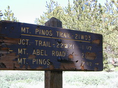
One mile up the Mount Pinos route, you will find McGill trailhead on the right side (it is popular w/ mountain bikers) and then the first snow gate at Burbank Rd. Another 4 miles up hill, you come to the only set of dirt roads accessible on this range. A left turn will take you winding thru pine forest to the valley below. 4×4 is not required, but a National Forest map could be very handy. Unfortunately all the private properties at the bottom have locked gates & no thru access to Cuddy Valley is allowed. Although it is an awesome drive to just go exploring in the woods, there is no way out (once you get down the hill), so you must return the same way you came.
Back on the main route, shortly after the dirt roads is McGill Campground on the right side & another snow gate. In another mile and a half you will reach Mt Pinos Campground on the left side; the entrance is easy to miss. From here you are less than 2 miles from the end of the main road.
Mountain Bike, Hike, Backpack, Camp, XC Ski, Snow Sled
Darkest Skies for Stargazing in Southern California
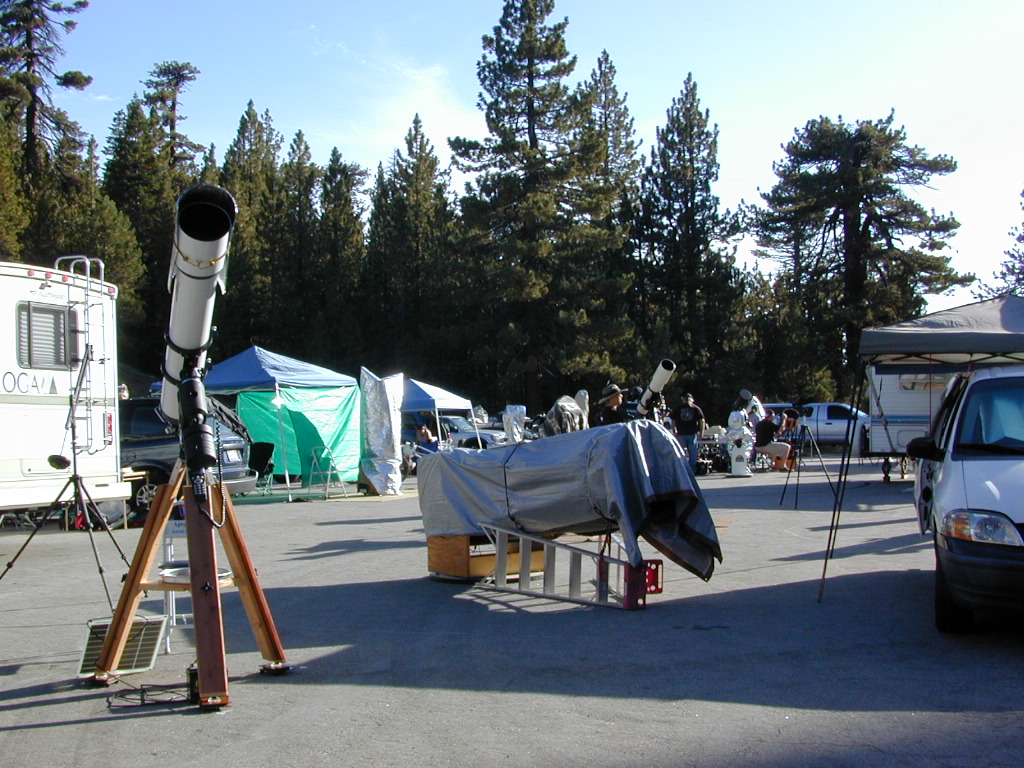
The huge paved parking lot is the dead end (2 miles from the peak of Pinos) – very popular with astronomers, mountain bikers, plus the families and snow sledders in winter (if the gates are open). A National Ski Patrol’s Nordic Base, the only building you will see up this way. At 8300′ elevation, the large parking area is perfect overnight spot for amateur astronomers, so be considerate when visiting night. New moon (no moon) weekends APR-OCT are optimal viewing months. In busy summer months you can often find motorhome campers all set up with expensive equipment tracking the heavens all night long. Please be respectful of their hobby & eyes; Turn off headlights when you approach the parking area at night.
ROAD CONDITIONS to Mount Pinos, call the rangers 661-245-3731
Pinos – Peak to Peak Hike
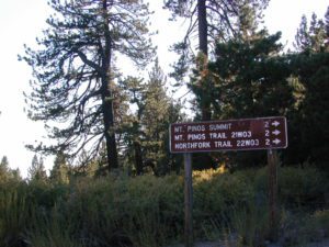
The trailhead for Pinos Summit starts at this parking lot. It is a 2 mile moderate, but steep hike on an old fire road. The neighboring peak to the west is called Mount Abel @ 8286′ elevation (aka Cerro Noroeste). The infamous peak to peak hike along the ridge line from Mt Pinos to Mt Abel is 6.5 miles one way – and very popular in summer months. This hike requires 4-6 hours & a car shuttle should be arranged in advance. The Chumash Wilderness sits between Mount Pinos and the tiny community of Pine Mountain, which can be seen below on many places along the hike.
There are 3 developed campgrounds in the Mount Pinos Recreation Area:
This camp list is comprised of primitive camp sites and developed campgrounds with good views overlooking a large area (valley, town, canyon, desert, river, ocean). Many ideal spots may require dirt road driving, and a few might need a 4-wheel drive vehicle to reach.
We were suggesting this very spot way back in 1999, well before anyone else was ‘blogging’ about it. This area is by far the best, free coastal camping on the Central Coastline of Big Sur. Dirt roads traverse 10 miles out to vacant ridges overlooking the Pacific, with steep hills down to the highway. Camp above the fog layer and above the crowds. Explore the beaches during the day, and camp above the traffic & crowds at night.
Dry brush is abundant on the mountains of Los Padres National Forest. Camp fire restrictions should be of utmost concern in this area, since wildfires burn here often. Camp fire permits are required for camping on the back roads, and much of the time camp fires are banned in this region. Call ahead to the rangers to find out the current conditions.
Two prime walk-in camp sites, on a shady point, high above a beach cove w/ scenic waterfall.
Called “environmental camps” these highly desirable spots need advanced reservations w/ fees many months in advance. Tables, fire rings and a vault toilet. Bare bones basics, but the ideal location is worth it. A forested cliff on the edge of the ocean, high above a secluded cove. This location a can get windy if a storm moves in (generally October – March).
There are several primitive campsites off of M10 with views of chaparral and canyons. Just above Stonyford, CA, on the way up to Fouts Springs. Unfortunately Mendocino National Forest is may be closed for 2019 due Ranch Fire (wildfire 2018) w/ Snow Mountain Wilderness completely 100% burnt.
Planning more scouting of this region summer 2019. Stay tuned.
Angeles National Forest
Mount Pacifico Campground
Angeles Forest Highway
Lightning Point Group Campground
near Jackson Lake @ Hwy 2
San Berdu has more than a few trail camps for 4×4 enthusiasts. Weekends can be busy all year long. Snow usually closes some routes. Pine forest in southern California means very tight campfire restrictions. All yellow post camp sites include table and a fire ring. Campfire permits are required.
East ridge line, rocky, dusty, 4WD-only route, the John Bull Trail (near Holcomb Valley) has ONE real awesome view camp spot with great spans over the Mojave desert w/ smog and city lights @ night.
Culp Valley – boulders, primitive camps on dirt roads; better views off-road. Vault toilet. Few tables, no signs. Small campground at the highway is easy to find. Boulders and bouldering. Mountain biking and hiking. Wildflowers in spring.
Interstate 15 & I-40 Mojave Desert
Providence Mountains SRA @ Mitchell Cavern. Campground is perched on rocky hill overlooking desert.
Boulder Outcroppings w/ primitive camp spots, tucked back on one lane dirt roads, behind Mid Hills Campground. Mojave National Preserve
Coyote Flat @ Pinyon Boulders – 4×4 required, one primitive camp w/ great views overlooking the Owens Valley & peaks to the east. Coyote Flat has views toward the Sierra
Oh! Ridge Campground Off the main highway 158, June Lake Loop
(148 sites @ 7600′ elev.) near June Lake, CA
Cottonwood Lakes Campground, Golden Trout Campground & Horseshoe Meadows Campground… all next to Mount Whitney. This is a prime side option for Whitney & Southern High Sierra packing. Perfect for equestrian travelers, backpackers & day hikers.
Sitting at Tuttle Creek Campground at dusk, just outside of Lone Pine , in the Eastern Sierra – you may have wondered what the hell those lights were. Way off in the distance – to the south. Way up high.
There must be another road that also heads up into the Sierra’s. Yep! Go find this special valley. It is well worth the drive, even for just a day trip. A long and winding drive up from Hwy. 395, in Lone Pine CA – take Whitney Portal Rd up to Tuttle Creek Campground, see the road called Horseshoe Meadows Road on the left. Take it, all the way up, you will be glad you did. Allow hours for the drive, views, hike, & the picnic. It’s bear country so be concerned about your food. Use bear lockers, even for day trips.
Cottonwood Campground is located in the Inyo National Forest , this area is just south of Mt. Whitney, is by far much quieter than the masses at the Portal. Although camping is limited to a ‘one nights stay’, the terrain is spectacular with ample parking for backpackers, sightseers & horse trailers alike. The paved switchback road is steep & long, to say the least. RV are not recommended on this Eastern Sierra Horse Shoe Meadows Road.
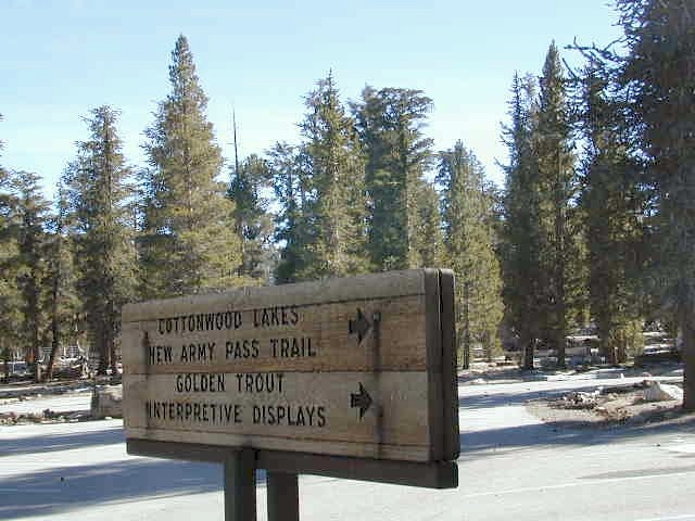
This area is definitely geared towards Sierra backpackers & equestrian trips. The parking lots are pretty roomy, plus there is a one night stay limit on the campgrounds: Golden Trout, Cottonwood Lakes, Horseshoe Meadow. New Army Pass & the Golden Trout Wilderness are both accessed from these high Sierra trail heads. Meadows up here are large & lined with pines. They can range from lush wildflowers to golden dry. Granite, horses & high elevations!
Trailheads to the High Country Sierra
walk-in camp sites:
These campgrounds up here are large and spacious with walk in access only. A common parking area is shared, along with the community fire rings & steel bear boxes. Wide open areas with tons of room for star gazing. The camp areas are not considered secluded. Very open skies & perfect for stargazing.
These camp sites are designed for overnighters preparing for their backpacking ventures into the nearby Sierra wilderness. This high altitude mountainous area closes for winter snows (anytime between October-May) & the campgrounds/trail heads will not be accessible. If road is open in early Spring, I imagine the cross country skiing & snow shoeing would be incredible in those huge meadows. Sierra wildflowers are abundant on certain years.
From Hwy 395 & Lone Pine CA, take Whitney Portal Rd. up to Horseshoe Meadow Rd & turn left. Follow this long & steep road due south hugging the mountain’s edge. This steep winding entrance will take you to some spectacular views over the dry desert Owens Lake & Lone Pine. Then turns sharply west headed straight into the pine filled Southern Sierras. This region is so high in elevation that you can actually see ‘tree line’. At 10,000′ alpine glory, this is prime backpackers country. Exposed granite mountain peaks loom above the tall ponderosa pines.
ADDITIONAL COTTON:
There’s more than one Cottonwood Campground in California.
JTNP – A more popular spot is the Cottonwood Campground, on the south end of Joshua Tree National Park, near the Interstate 10 park entrance. Click here for camp information.
ABPF – Cottonwood Canyon – 4×4 accessible route which leads to aspen grove and old cabin, on the eastern side of the White Mountains and near the Ancient Bristlecone Pines. Cottonwood Basin is a result of Cottonwood Creek, which flows east toward the state of Nevada.
In the mountains numerous places called ‘big meadows’ exist in California. Large meadows, huge meadows, high elevations and low. We are truly blessed by such a natural beauty in our local region. Remember those who have protected the land for future generations.
camping
picnic
grazing
hike thru
bike around
horseback
wildflowers
Inyo National Forest – highcountry backroads
For Southern California meadows – Mount Pinos has a large meadow next to the walk-in campground, Chula Vista. San Diego’s Laguna Mountain has some meadows and Big Bear Lake offers sage meadows, on the Fawnskin side.
Wild Meadows range from 3000′ elevation in the foothills, to about 11,000′ elevation in the highcountry. Vacant of trees, these wide open areas are generally colder spots, with moisture and with fragile ecosystems.
Eastern Sierra’s Inyo has gorgeous meadows of lupine wildflower (see above). Cattle grazing and 4×4 roads all over, up to 12,000′. High country mountain peaks surround. That area is called Coyote Flat w/ Coyote Lake. 4WD needed! Winter, snowy and almost inaccessible.
SNOW – Since meadows are generally located in the mountain regions, deep winter snow can make these special places impossible to reach (for about half the year). Summer is the prime time to explore the higher elevations, so plan accordingly.
WILDFLOWERS – Remember that the higher the elevation, the later the wildflowers will bloom. High Sierra meadows often bloom well into July & August.
AUTUMN COLORS – Aspen groves are often located next to meadows. Fall colors can be quite decent around October, before the first snow fall of the season.
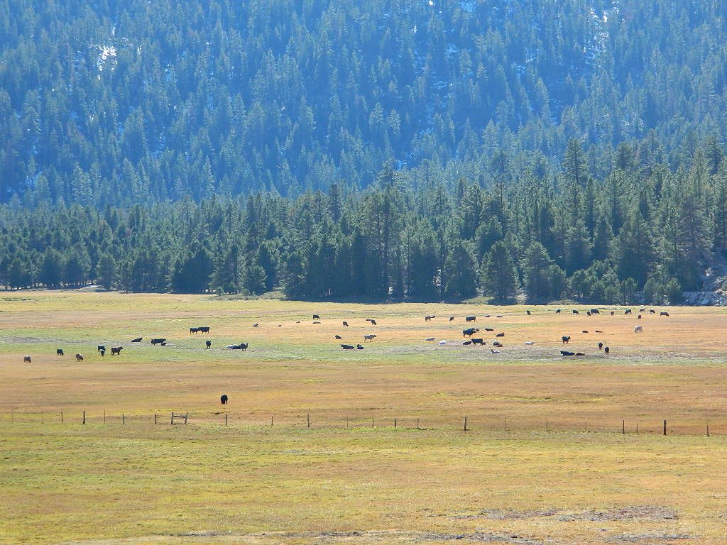
MENDO glade – In the Mendocino National Forest the meadows are called “glades” – and the area has been heavily impacted by wildfire. Snow Mountains Wilderness was totally burnt in the Ranch Fire 2018, the largest wildfire in California history.
NORCAL history – Some Mountain Maidu tribes are known as the “Big Meadow Indians” – they made the Big Meadows of the Upper Feather River their home. Damming the Feather River created Lake Almanor in 1914, which flooded the meadows and forced native people to relocate.
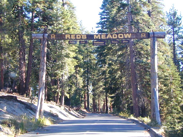
Horse pack station Red’s Meadow, behind Mammoth Mtn. Eastern Sierra
The Big Meadows below are listed from south to north.
Enjoy!
GIVE THANKS, we live in the “illusion of prosperity”
Now, it’s time to get serious and educated on the matters at hand.
The majority of the population does not even understand what is being done to them. Major food corporations know that eating heavily processed foods is addictive and an edible path to heart disease, cancer, diabetes and other deadly diseases, but they keep pushing those foods on us anyway. Junk food is making them rich and making us sick!
energy drinks
soda pop
candy
fast food
The average American diet is extremely self-destructive, and it is well time for a change. Which is why we at Total Escape decided to focus on the topic of FOOD for this autumn month of Thanksgiving.
On the towns pages we link to local farmers markets, health food stores, community co-ops, family farms, organic farms, farm stays and vineyards.
OMG, GMO – soy, corn, sugar
* May contain ingredients partially produced with genetic engineering.
High fructose corn syrup, soy lecithin, natural flavors….
you may not realize how much GMO is in your food.
Why Care about Food
If you are concerned with your physical health & well-being, you already know that nutritious, real food is the best for your daily diet. You are what you eat!
Almost half of California voters voted to label genetically engineered foods, way back in 2012. So if you didn’t understand about healthy food choices 5 years ago, you might be willing to look at the food issue more closely these days.
Although the labeling law did not pass, many companies begin putting GMO-free or NON-GMO labels on the front of the food packages anyway. Health food manufacturers, major national brands, and especially food produced inside California – can be found with the non-gmo verified label.
FOOD as medicine, in light of recent news:
Americans are the fattest culture ever; Declining bee population, continued environmental pollution, and the link to our epic diseases. Gut disorders, allergies, autism, cancer, diabetes, the list goes on and on.
Most Prevalent Pesticides
Glyphosate is a potent and dangerous chemical found in Monsanto’s Roundup weed killer, the most commonly used herbicide in history. Glyphosate has contaminated the planet, and is now found in mother’s milk, our bloodstreams, and in our food and water supply. The World Health Organization announced in 2015 that glyphosate ‘probably’ causes cancer.
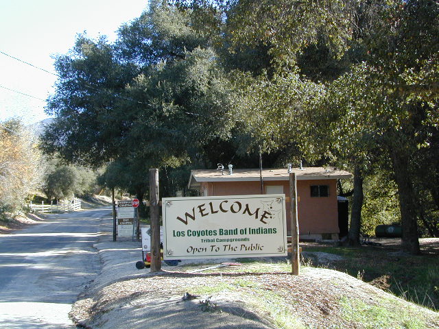
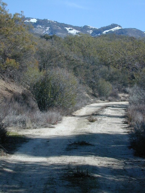
Levels of the herbicide Roundup in human urine have increased dramatically among California residents in the past two decades, a new study reports. Roundup is used to protect genetically modified corn and soy crops from weeds; Also sprayed on wheat and oats, during harvest; And blindly used by public and private land owners to control weeds on their property, which ends up in run-off water, as poison to lakes and rivers.
This chemical corporate push in agriculture is a decades-long experiment with our very own ecosystem: Our health and the health of our planet.
Amy’s Kitchen
Bragg’s Apple Cider Vinegar
Bob’s Red Mill
Cal-Organic
Cliff Bar
Dr. Bronner’s Soap
Full Belly Farm
Lundberg Family Farms
Masumoto Family Farm
Organic Valley Coop