Tag Archives: ridgeline

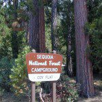
Coy Flat Campground

Coy Flat Camping
Giant Sequoia National Monument

Camp Nelson California

se Campground

Southern Sierra mountains and the Giant Sequoias, inside Sequoia National Forest. In the Camp Nelson area, south of the busy National Parks.

SEPT 2021: Closed due to the Windy Fire

GIANT SEQUOIA HWY 190 – Western Divide Highway is the 7000′ ridge line that separates the Upper Kern River from the great Central Valley to the west.

From the San Joaquin Valley – get to Porterville or Springville, continue up the mountain on the main highway, to the paved road turn off (Road #22S94) on the right side of the highway;

After Pierpoint Springs and before Camp Nelson. This quiet campground is located off the highway more than a mile, so traffic noise will not be an issue for the light sleepers. (Unless of course, a loud 4×4 rig screams by at midnight headed to the backwoods, or a horse trailer cruises by at 5am). This camp does border the Tule River Indian Reservation.
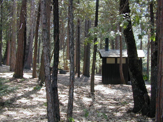
Western Divide Campground
Western Divide Highway 190
Giant Sequoia Campground

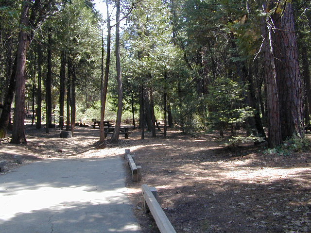
Sequoia Road #22S94 is a loop road leading to many forest meadows, groves, primitive camps and trailhead destinations. Bear Creek and Coy Creek flow near CoyFlat Campground, which both merge north into the Middle Fork of the Tule River @ the highway.

Belknap Grove is nearby, with Black Mountain Grove a few miles further on the dirt back road (Road #22S94) as it continues to Bateman Ridge and Road #21S12, near the Tule Indian lands. Mountain biking, rock climbing, backpacking and hiking all great in this region.

22S94 continues in forest to 8500′ elevation @ Windy Gap, where the Summit National Recreation Trail intersects road. Popular trail among horse riders. 22S94 connects back to Western Divide Highway, in between Ponderosa and Trail of 100 Giants. Awesome loop drive for those seeking seclusion on the dirt roads, away from the tourists and RVs. Call ahead to make sure that the dirt roads and gates are open, before you plan a weekend vacation around it.

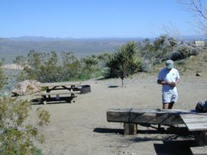
COY FLAT CAMPGROUND camping

Elevation: 5,000′
Number of Sites: 19
Reservations: YesCoyFlat Campground Sequoia NF
Sites Available: First come, First serve
Vehicle Accessibility: Vehicle 22 ft. max.
Length of Stay: 14 Days
Water: Piped; Seasonal creek nearby
Toilet: Vault
Season: Closed for winter months
Fee: Yes
Operated By: National Forest Service
Closest Town: Camp Nelson, Califronia

Sequoia National Forest
Giant Sequoia Ranger Station
559-539-5230

Due to the spread of invasive insects, firewood from outside the area is not permitted. Help protect our forests by purchasing or collecting firewood at or near your camping destination and burning it on-site.
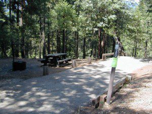
CoyFlat Sequoia
CoyFlat Campground – Giant Sequoia


Best View Camp Sites

view campsite

Great Overlooks for Camping

Best View Camp Site in California 

Overlook Camps, View Spot Camp Sites

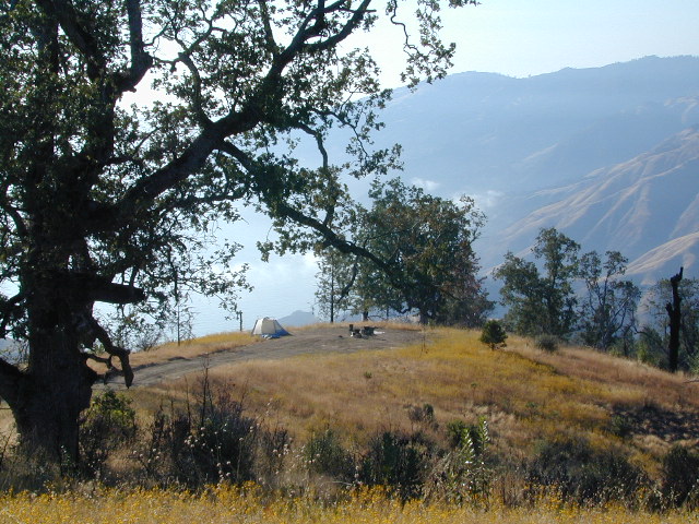
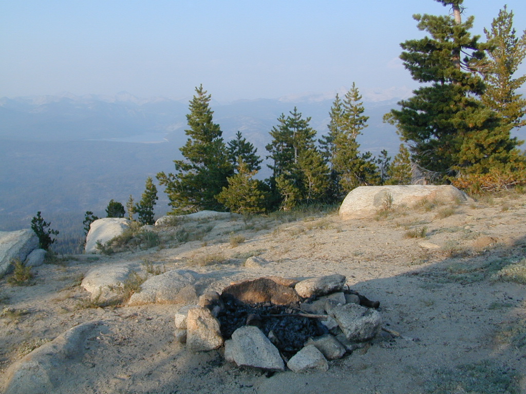
This camp list is comprised of primitive camp sites and developed campgrounds with good views overlooking a large area (valley, town, canyon, desert, river, ocean). Many ideal spots may require dirt road driving, and a few might need a 4-wheel drive vehicle to reach.

Prewitt Ridge, Big Sur Coast

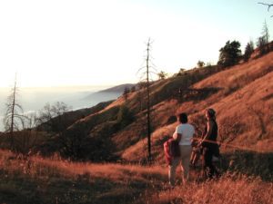
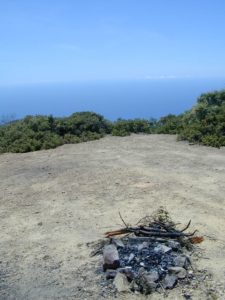
We were suggesting this very spot way back in 1999, well before anyone else was ‘blogging’ about it. This area is by far the best, free coastal camping on the Central Coastline of Big Sur. Dirt roads traverse 10 miles out to vacant ridges overlooking the Pacific, with steep hills down to the highway. Camp above the fog layer and above the crowds. Explore the beaches during the day, and camp above the traffic & crowds at night.

Dry brush is abundant on the mountains of Los Padres National Forest. Camp fire restrictions should be of utmost concern in this area, since wildfires burn here often. Camp fire permits are required for camping on the back roads, and much of the time camp fires are banned in this region. Call ahead to the rangers to find out the current conditions.

Swinger

Julia Pfieffer Burns State Park
Big Sur Coastline

Two prime walk-in camp sites, on a shady point, high above a beach cove w/ scenic waterfall.

Called “environmental camps” these highly desirable spots need advanced reservations w/ fees many months in advance. Tables, fire rings and a vault toilet. Bare bones basics, but the ideal location is worth it. A forested cliff on the edge of the ocean, high above a secluded cove. This location a can get windy if a storm moves in (generally October – March).

Los Padres National Forest

Kirk Creek Campground
on Highway 1 @ Nacimiento Road
Big Sur CA

Willow Creek Road # 23S01
primitive camping on dirt road, above Hwy 1 @ Gorda, CA

sunset watch

Reyes Peak Camping
North of Ojai, CA
Pine Mountain Summit, CA Hwy 33

Off Cerro Noroeste Road, W of Pine Mountain, CA

Above Santa Maria, Highway 166
West of New Cuyama, CA

  • Miranda Pines Campground @ 4100′ elev
    Located well off hwy. on Road #32S13

Mendocino National Forest

There are several primitive campsites off of M10 with views of chaparral and canyons. Just above Stonyford, CA, on the way up to Fouts Springs. Unfortunately Mendocino National Forest is may be closed for 2019 due Ranch Fire (wildfire 2018) w/ Snow Mountain Wilderness completely 100% burnt.

Planning more scouting of this region summer 2019. Stay tuned.

Angeles National Forest

  • Mount Pacifico Campground
    Angeles Forest Highway
  • Lightning Point Group Campground
    near Jackson Lake @ Hwy 2
Fire Safe Spot
Random ridge spot in Big Sur
john bull camp spot
john bull 4×4 camp

San Bernardino National Forest

Toro Peak Campground Rd# 7S02

toro_campsite

  • San Berdu has more than a few trail camps for 4×4 enthusiasts. Weekends can be busy all year long. Snow usually closes some routes. Pine forest in southern California means very tight campfire restrictions. All yellow post camp sites include table and a fire ring. Campfire permits are required.
  • East ridge line, rocky, dusty, 4WD-only route, the John Bull Trail (near Holcomb Valley) has ONE real awesome view camp spot with great spans over the Mojave desert w/ smog and city lights @ night.
  • Mesa Campground @ Silverwood Lake SRA

I-8 East of San Diego, CA

  • Larkin Campground
    McCain Valley BLM OHV
  • Mar Tar Awa above Viejas Casino
  • Sweetwater Summit Co Park San Diego

I-5 North of San Diego, CA

  • San Elijo Campground, San Elijo State Beach
    Coastal cliffs, overlooking beach and ocean
    Solana Beach, CA

S-22  East San Diego County

Montezuma Grade, overlooking Borrego Springs & Anza Borrego Desert

  • Culp Valleyboulders, primitive camps on dirt roads; better views off-road. Vault toilet. Few tables, no signs. Small campground at the highway is easy to find. Boulders and bouldering. Mountain biking and hiking. Wildflowers in spring.

providence

Interstate 15 & I-40 Mojave Desert

view spot mojave

US Hwy 395 Eastern Sierra

inside Death Valley National Park

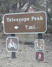
  • Mahogany Flat Campground steep dirt road access. Trailhead for tallest peak in the park, Telescope Peak (11,049′ elev)
  • Tucki Mine, 4×4 route. Unmarked dirt road inside Emigrant Canyon, off Wildrose Road.

inside Inyo National Forest

ohridgeview
oh ridge view
    • Coyote Flat @ Pinyon Boulders – 4×4 required, one primitive camp w/ great views overlooking the Owens Valley & peaks to the east. Coyote Flat has views toward the Sierra
    • Oh! Ridge Campground Off the main highway 158, June Lake Loop
      (148 sites @ 7600′ elev.) near June Lake, CA
    • Onion Valley Campground – High Sierra @ 9200′ elevation. Trailhead to Kearsarge Pass. W of Independence, CA

4x4 Camps

Western Sierra Nevada Mountains
Sierra National Forest

cabin rental

NFSsee also – NFS Fire Lookouts & Rental Cabins
many of which have excellent views of the wilderness areas; a hike or climb may be necessary

Colorado River Camping

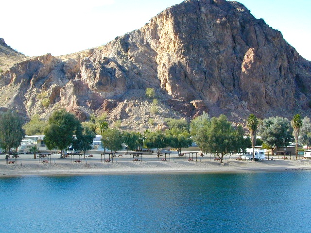
Multiple riverside RV havens, county parks, and campgrounds near Parker, AZ

Riverside RV parks in Blythe, CA

Riverside RV parks in Lake Havasu, CA

coloradoriverRV
colorado river camping


Mahogany Flat Campground

Mahogany Flat – Death Valley National Park

mahgsign

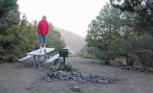
If you want trees in your Death Valley visit, than this is it. Mahogany Flats Campground is located in a juniper forest on a ridge line of the Panamint Mountains. Often windy camp sites with the highest elevation campground in the area. If you seek to get away from the desert heat, this may be the best option. Spectacular views to the east, over the Death Valley basin. Access to hiking, backpacking, off roading, mountaineering opportunities. A great place to escape summer heat, but be warned of thunderstorms. Picnic table, fire ring, pit toilets – maintained with NPS.

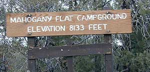
  • Elevation: 8,133′
  • Number of Sites: 10
  • Vehicle Accessibility: High Clearance, recommended. No RVs or trailers. 4×4 needed in heavy rain or snow.
  • Campsites Reservation: No
  • Length of Stay: 30 Days
  • Season: March – November
  • Trailheads: Telescope Peak & Tuber Canyon

greatspot_iDirections:

From Stovepipe Wells, follow Highway 190 W to Emigrant Canyon. Turn left on Wildrose Road and follow it thru the tight rocky canyon, climbing in elevation the whole way.

Passing Wildrose Campground where the pavement ends, past charcoal kilns, climbing in elevation past the pinyon pines at Thorndike Campground, up, up, way up Mahogany Flat Road.

From Panamint Valley, take Wildrose Road up. Turn right to Mahogany Flat Rd and proceed on the dirt road to the top.

View Larger Map

The Telescope Peak mountain range is the only place in the lower 48, where you can see both the tallest peak (Mt Whitney) and the lowest point (Badwater Death Valley).

Death Valley MAPS –

Death Valley Park – NatGeo
Death Valley Topo Map – Tom Harrison

Nearby attractions:

Death Valley National Park
Panamint Valley
Ballarat Ghost Town
Skidoo Town Site
Charcoal Kilns
Telescope Peak
Tuber Canyon
Tucki Mine

DSCN0053

telescopehike

Angeles Campgrounds

Camping Los Angeles – Angeles Crest Camping

Angeles Crest Hwy CA 2

campground elev spots veg toilet water notes
Appletree Campground 6,200′ 8 pines vault piped Big Pines Hwy
Basin Campground 3,400′ 15 CLOSED
Bear Campground 5,200′ 15 vault no
Big Rock Campground 5,000′ 8 vault crk sm RV, 4WD
Blue Ridge Campground 8,000′ 8 pines vault no May-Nov, sm RV
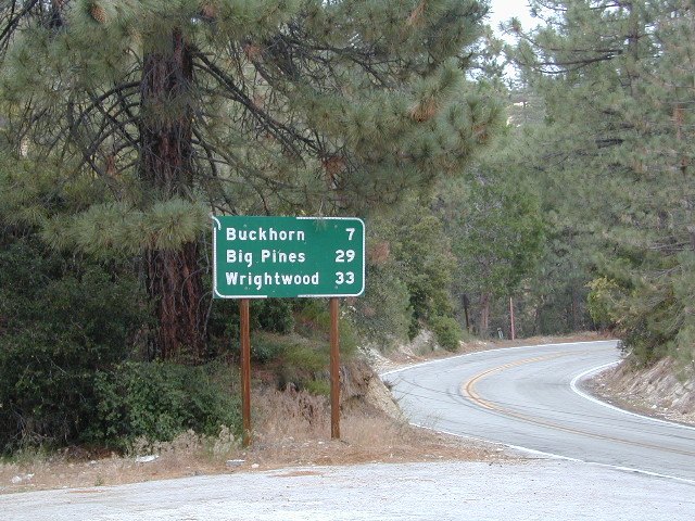
Buckhorn Campground 6300′ 40 pines vault no May-Nov, sm RV
Cabin Flat Campground 5,300′ 12 vault no CLOSED
Cienaga Campground 2,100′ 12 oaks vault no May-Dec
Coldbrook Campground 3,350′ 22 vault piped sm RV
Cottonwood Campground 2,600′ 22 vault no
Guffy Campground 8,300′ 6 vault no May-Nov, 4WD
Horse Flats Campground 5,700′ 25 pines vault no April-Nov
Jackson Lake Campgr 6,100′ 8 pines vault summer May-Dec
Live Oak Campground 2,000′ 7 oak CLOSED
Manker Flats Campground 6,000′ 21 flush piped sm RV
Messenger Flats Camp 5,500′ 10 pines vault no Corrals, April-Nov
Millard Campground 1,900′ 5 oaks vault no Altadena, Chaney Trail
Monte Cristo Camp 3,600′ 19 oaks vault piped RV, Hwy 2, N3
Mount Pacifico 7,100′ 7 pines vault no May-Nov
Mountain Oak 6,200′ 17 oak flush piped May-Nov
Peavine Campground 6,100′ 4 vault piped Big Pines Hwy
Prospect Campground 2,100′ 22 CLOSED
Rocky Point Camp 3,400′ 3 vault summer
Sage Campground 3,400′ 4 vault no Cheseboro Rd
Sawmill Campground 5,200′ 8 vault no sm RV
Soledad Campground 2,000′ 6 CLOSED
South Fork 4,500′ 21 oaks vault no May-Nov, sm RV
Spring Camp 4,700′ 3 vault no Rincon-Shortcut Route
Spunky Campground 3,300′ 10 vault no
Streamside Campground 2,500′ 9 vault no poison oak
Sycamore Flats 4,200′ 11 vault summer sm RV
Upper Shake 4,400′ 18 vault no May-Dec.
Zuni Campground 1,700′ 10 vault no

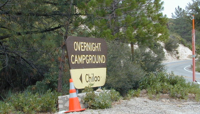
Chilao Campground

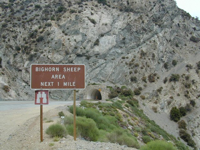
tunnel angeles crest

nearby towns –

Angeles Maps – hiking, OHV & mountain biking –