20+ years running, the Snow Goose Festival’s mission is to increase public awareness, understanding, appreciation and conservation of the diverse wildlife and unique habitats of the northern Sacramento Valley.
Workshops and field trips; advanced reservations online
State Parks, State Forests, State Recreation Area, National Parks, National Monuments, National Forests – What is the Difference?
Forest, Park, Reserve, Monument, Recreation Area, BLM, Nature Preserve… arghh!
Don’t let all the park and forest names confuse you. It is all California and it is your public land! No bikes on trails, No gathering wood, No dogs here, No camping there; Now what?
Below is our overview graph for all California parks and forests – the basic concepts & the rules broken down for anyone to understand. Permits may be needed in certain areas. Only the government officials understand the true nature of all the ridiculous red tape.
Back country lands very protected from roads and human impact. Off limits to vehicles & mountain bikes. Only accessible by backpacking, hiking or horseback. Endangered species; Hard to reach terrains in the High Sierra. Overnight visits may require a wilderness permit.
Federal lands are national parks, preserves & monuments; highly regarded as some of the most scenic in world & protected. Very popular places and crowds often in summer. Limited use areas for camping & recreation. No mountain biking on trails. No dogs on trails. Try off-season. Drive thru entrance fees.
NM: California
National Monument
Located within the National Park System & more specific to a region. Historic buildings, geological features and deserts ruins qualify. Some National Monuments become National Parks. Many locations have entrance fees.
NRA: National Recreation Area
Located within the National Park System & somewhat specific to a waterways, coastlines, lakes and reservoirs. Some locations have entrance fees.
NSA:
National Scenic Area National Seashore
Located within the National Park System & is basically scenic area worth preserving. Usually no entrance fees.
Areas of forest lands throughout state; some surround the National Parks. 18 national forests make up 20 million acres of federal land. Multiple use areas: snow skiing, mining, grazing, off-roading. OHV & SVRA Tons of small campgrounds, recreation & primitive spots for real seclusion. Best bet for finding a spot away from the crowds. Get a free fire permit & camp on back roads. No entrance fees, some parking or day use fees; SoCal requires an Adventure Pass.
California Department of Parks & Recreation manages more than 260 parks. These smaller parks are located near cities with historical parks, as well as remote wild state land & coastal beaches. Entrance fees, day use, picnic and some have campgrounds. State Parks charge fees for day use, parking and overnight camping.
California SF: California State Forest
California Demonstration Forests, areas to be protected. Redwoods & Sequoia Groves; fragile eco-systems. Handle with care. May charge entrance fee or day use fee.
California SRA:
State Recreation Areas
California Department of Parks and Recreation. Lakes, Reservoirs, Rivers. Many have boat rentals and active marina. Recreation lakes charge entrance, day use, parking or boat launch fees.
Off Roading folks and dirt bikes can have their fun wheelin. Lands set aside for OHV use; dune buggies, quads & 4×4 enthusiasts. Most in desert regions; forest lands. Developed campgrounds large enough to accommodate RVs and trailers. Fees may apply in these off-road areas for day use or camping.
California County Parks
Desert hot springs, oak foothills and campgrounds, local hills w/ hikes, parks close to urban regions. Back roads & rural land protected from freeways & development. May require parking or entrance fees. Find these listed on the California A-Z town pages
City Parks in California
Urban Parks & Recreation, inside the city limits. Usually no entrance fees. Find these on California A-Z town pages
All public lands that do not fall into the above categories. Little to no fees for day use, recreation or overnight camping. Plenty of desert & off roading areas. Some forest lands, certain lakes. Small campgrounds or open camping allowed. Fees may apply in developed campgrounds. Camp overnight almost anywhere out here for free, with a ranger issuedcamp fire permit.
Sequoia – which one?
Sequoia National Park
Sequoia National Forest
Giant Sequoia National Monument
Imagine that the Southern Sierra mountains is home to 3 different public parks named Sequoia. Yep, it’s true. Sequoia National Park, Sequoia National Forest, and Giant Sequoia National Monument. Other parks that have Sequoia groves are – Mountain Home State Forest, Calaveras Big Trees State Park, as well as Yosemite National Park.
As far as the Coastal Redwoods, most are included under State Parks. Find these parks on the Central Coast Big Sur and Santa Cruz mountains, plus Marin County, and all along the north coast US Hwy 101 from Mendocino to the Oregon border. Numerous redwoods parks are located along rivers.
The super scenic Big Sur coastline is home to Julia Pfieffer Burns State Park and to the similarly named Pfieffer Big Sur State Park. Leave it to park personnel, state officials or the non-locals to create such a confusing naming system within our most-visited state.
Lava Rock @ Blue Lake in Modoc CountyHolcomb Valley Camp, Big Bear Lake, CA
Lassen Camping near a creek in Northern California
California Outdoor Recreation:
All parks, forests, preserves, monuments, public lands, lakes, rivers, wilderness, historical sites and museums can be found listed separately on our super duper local A-Z town pages
Warner Mountains
Modoc Country
Northeast California
Wide open spaces, mountains, rivers and ranch lands. The very last of the unexplored high country of California. Rural and rustic regions are full of forested mountain ranges with sage brush meadows lying below. Valleys are high elevation deserts with a base terrain sitting above 4000′; Peaks @ 8000′ above sea level.
South Warner Wilderness is in the southern portion of the Warner Mountains, a north south positioned range, located in the top corner of the golden state. Surprise Valley lies to the east, bordering the Nevada state line and Alturas w/ US Hwy 395 on the west side.
California SR 299
Hwy 299, the only paved thoroughfare cuts right through the middle of the Warner Mountains. Paved Parker Creek Road #56 climbs up Parker Creek from Alturas, accessing camping, hiking, dirt back roads and wilderness trailheads. Warner Mountains State Game Refuge is north of the wilderness area.
One dirt route skirts the wilderness boundary – West Warner Road #5, which leads from Parker Creek due south to Jess Valley Rd #64. Blue Lake Road, Patterson Mill and Road #39N15 are nearest to East Creek. Winter driving tips from NFS.
All these campgrounds listed can be accessed by a vehicle, most by narrow back roads (some dirt). If you prefer to drive on paved roads only, then you’ll need to choose Blue Lake or Mill Creek Falls. Deep snow closes forest roads and campgrounds are generally only open a few months per year, from May to October.
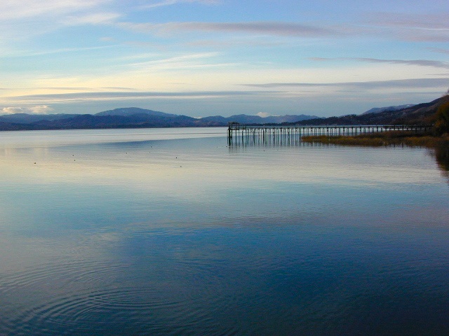
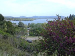
CLEAR LAKE, California – aka Clearlake
North of San Francisco. Large freshwater lake, in the hills above Napa/Sonoma wine country. Vineyards, residential, small towns and parks surround the large lake. Boating, fishing, and retirement living.
Upstream from Mill Creek waterfall sits a small Clear Lake, at the south end of the Warner Mountains. Lake is hiking distance from camp @ 5680′ elevation. Good fishing destination, but only accessible by trail, foot or horseback.
Far Northern California
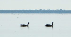
Clear Lake Reservoir is a National Wildlife Refuge
20,000 acres of open water surrounded by over 26,000 acres of upland bunchgrass, low sagebrush, and juniper habitat. Nearest town is TuleLake, CA near the Oregon border.
The main artery from the North; the Big River of California
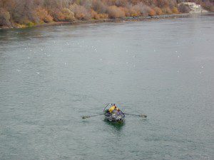
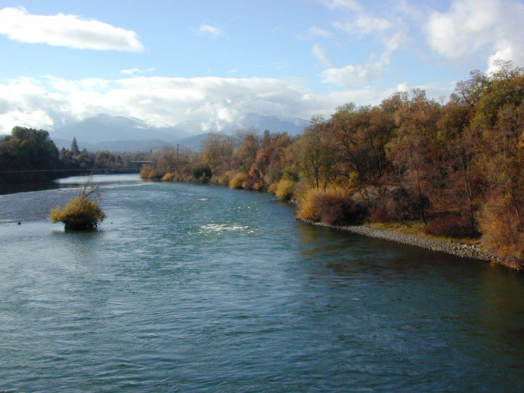
Mighty Mount Shasta snowmelt flows south, bound to meet the giant Lake Shasta, which merges with the Pit River and numerous other major waterways, becoming the big Sacramento River. Running right down the center of the North Sacramento Valley to merge into the California Delta. Shipping channel links the State Capital city of Sacramento with the San Francisco Bay and the Pacific Ocean. Agriculture and wildlife depend on this river heavily.
Sacramento River National Wildlife Refuge
Willows, CA
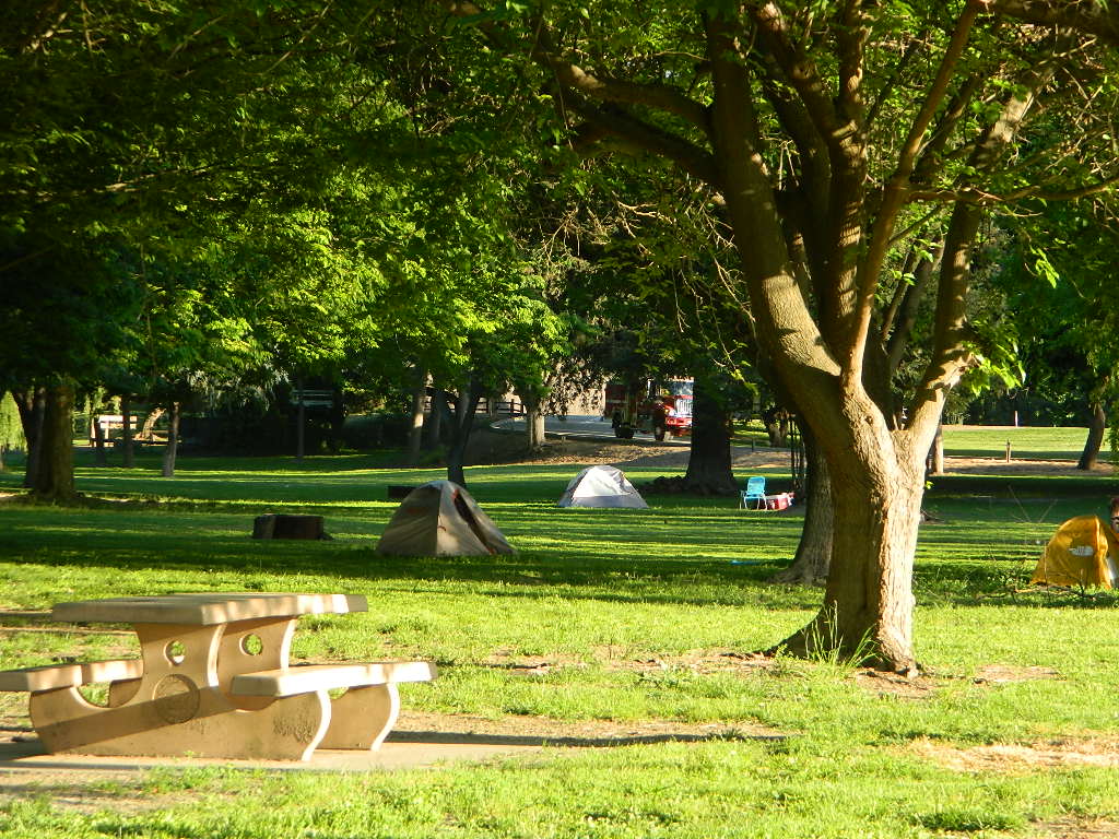
~ Camping is not permitted on the Sacramento NWR. Along the Sacramento River, camping is permitted on GRAVEL BARS for up to 7 days during a 30 day period. For waterfowl hunting, overnight stay is permitted in a vehicle or RV in designated areas. Tents are prohibited. No person may build or maintain fires except in portable gas stoves.
If you are thinking about fishing or camping the Eastern Sierra, North of Bishop & you are not up for the crowds at Mammoth or June Lakes, then try the Bridgeport area, north on Hwy 395. Rural ranch lands along main road, Bodie ghost town turn off across the highway and Virginia Creek Settlement are also nearby
Green Creek is a 11 mile long dirt road in the lush Eastern Sierra the northern portion. The wide, graded dirt road is signed and dead ends at a Toiyabe National Forest campground called Green Creek Campground. The drive up can be washboard bumpy in some parts, but that doesn’t stop the hundreds of adventurous motorhomes that make this trek annually. This place features some of the best prime Sierra back roads camping options for RVs.
Another dirt route, Dunderberg Meadow Road peels off to the left. Dunderberg departs off Green Creek a couple of miles from the highway and well maintained. This route leads to meadows, aspens, picture perfect scenery and much more seclusion. Passenger car accessible, wide graded dirt roads to wilderness edges. Two-track one lane trails lead to meadow edges and more creeks. Very impressive views of the Sierra peaks over here on this side. Meadows are sensitive areas, wonderful for picnics and you should always minimize impact.
Plain old passenger cars can easily make this route deep into the Eastern Sierra aspen canyon. Graded dirt and4x4 could be needed winter months. Backpackers can enjoy easy access to the Hoover Wilderness trailheads. There is plenty semi-primitive camping spots along the way, right on the creek, for free…. so no need to sleep in your vehicle upon arrival.
Autumn Aspen Groves: fall colors peak in October, which is usually when the first snows for the winter season start. November – usually the freeze gets them and lifeless brown leaves dangle, until the Sierra Nevada wind gust blow real good.
Green Creek Camping
DIRT ROAD CAMPING
alpine lakes
backpacking
car camping
day hikes
fishing camping
meadows
RV camping
tent camping
Dispersed, primitive camp spots along this main dirt road are on a first come basis. You’ll need a fire permit. Many flat camps are set along the creek in aspen groves, some pines, others have cubby hole privacy. Large granite valley, big creek, bird, scenery and nature everywhere. Some folks spend weeks camping out here in the warm weather months. Fishing is a big attraction.
Old Cabin in autumn leaves, up near the top of the dirt road deep in the aspen groves
Kern County is known for its oil, its agriculture, and outdoor recreation. The Kern River is the highlight of the region with lush, green and grey granite canyons, a big reservoir & the Sequoia trees just up the road. On the western side of Kern County are small towns like Frazier Park, the golfing cabin community of Pine Mountain Club, plus the oil meccas of Maricopa and Taft. Expansive Lockwood Valley enters into Ventura County. Cuyama River borders Santa Barbara & SLO counties.
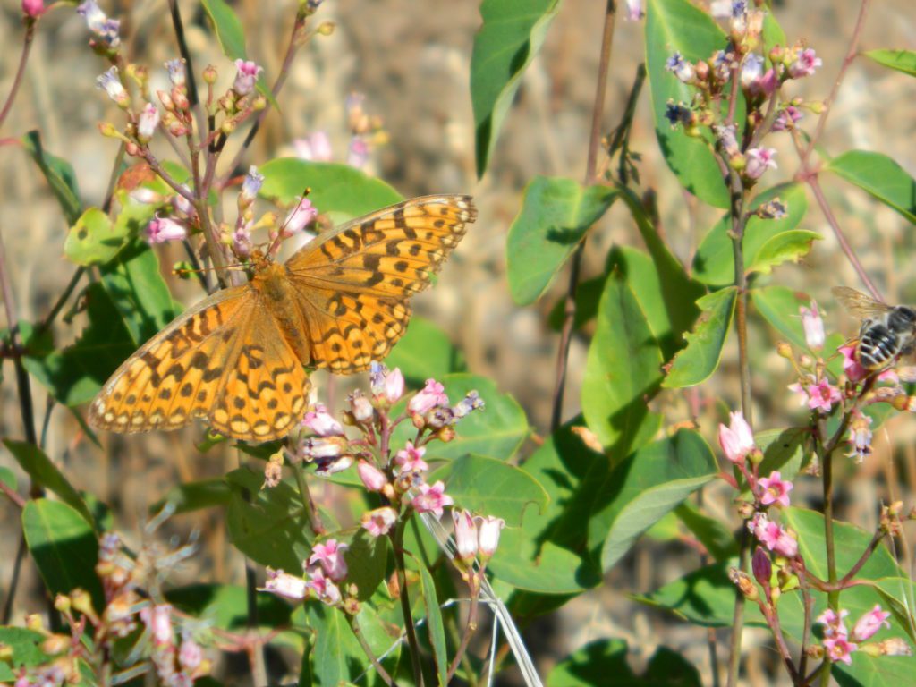
The 17 mile long Quatal Canyon, where the indian camp of Mahu Tasen hosts a Bear Dance every summer is also a wild place of bird watching, camping and hunting. The indian word for Mount Pinos is “Iwihinmu” – a sacred spot for Chumash Indians, as well as others; Chumash call it the ‘center of the world’. Locals respond regularly with music, hikes, star gazing, drum circles (seasonally) and local festivals (annually) .
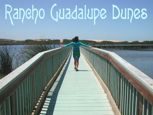
Guadalupe Dunes / Rancho Guadalupe Dunes County Park
Beach sand dunes on the Central California coastline, located in between Point Sal and Pismo Beach. Three different wildlife preserves (and one oil refinery) make up this sandy beach strand W of Guadalupe, CA
From the north
Oceano Dunes SVRA– also known as Pismo Dunes this is where all the yahoos can get their thrills riding quads and driving on the beach dunes. One of the few spots in ca, where you can drive your vehicle on the beach, right at the tideline.
OSO FLACO LAKE – estuary with boardwalk on the California Central Coast, surrounded by sand dunes and farm lands. Birdwatch right from the middle of the lagoon. Bring a picnic too!
Guadalupe-Nipomo Dunes National Wildlife Refuge – the refuge is situated between Oso Flaco Lake & Ranch Guadalupe Dunes. The main office is located along Highway 1, at 1045 Guadalupe Street, Guadalupe, CA
Rancho Guadalupe Dunes County Park – just north of Point Sal is this public access beach. Well known for miles of pristine sand dunes. This is a place to truly enjoy nature and solitude. Near to Pismo Dunes, Rancho Guadalupe is a county park in the Santa Barbara County Parks system. This protected wildlife area is north of Lompoc & south of Pismo Beach CA. The refuge was established to protect breeding habitat for the endangered species.
All this located west of Santa Maria & Nipomo CA. The Santa Maria River meet the Pacific ocean here at this estuary and sand dune area. From Coast Hwy 101, exit Main Street in Santa Maria; follow Hwy 166 west, past the small town of Guadalupe, CA & past the farmlands – straight to the coast.
Horses & dogs are not allowed in the preserve. Off-road vehicle play area is to the north of Oso Flaco Lake. The fence line is visible from the beach hike and engine noises can be heard from Oso Flaco. Enter the Ocean Dunes SVRA (State Vehicular Recreation Area), further up Hwy 1 at Oceano CA


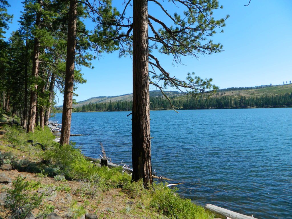


 Upstream from Mill Creek waterfall sits a small Clear Lake, at the south end of the Warner Mountains. Lake is hiking distance from camp @ 5680′ elevation. Good fishing destination, but only accessible by trail, foot or horseback.