
Toro Peak
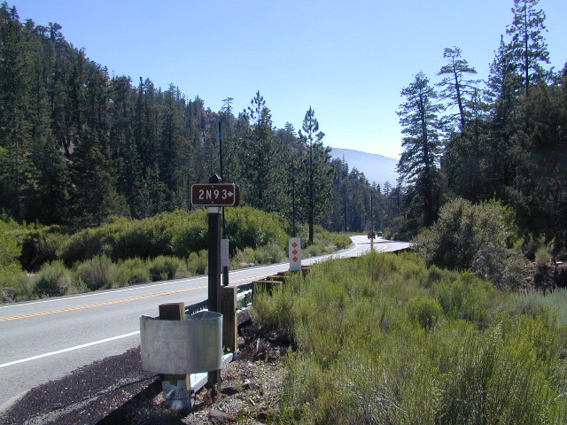
Forest Road# 7S02
Santa Rosa Truck Trail
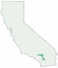
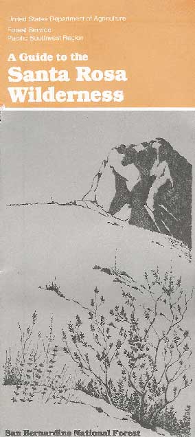
San Bernardino National Forest
South of Palm Desert, CA
Southeast of Idyllwild, CA
SE of Lake Hemet
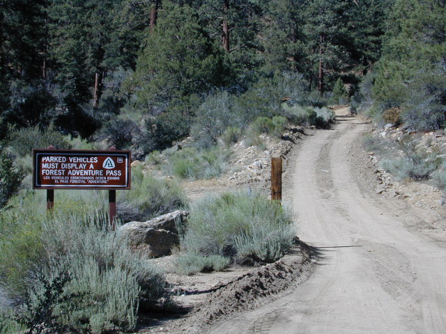
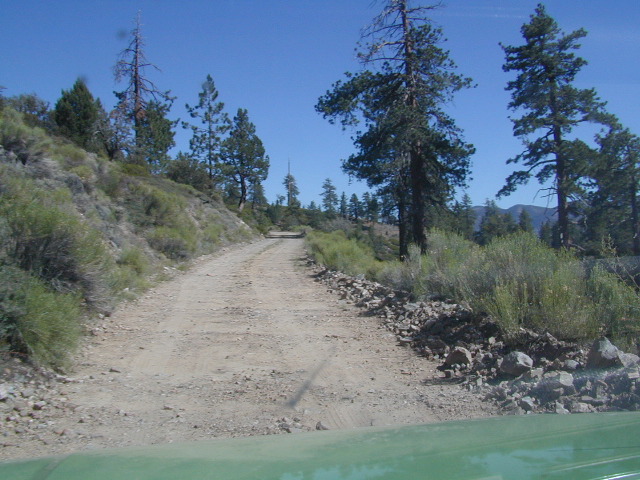
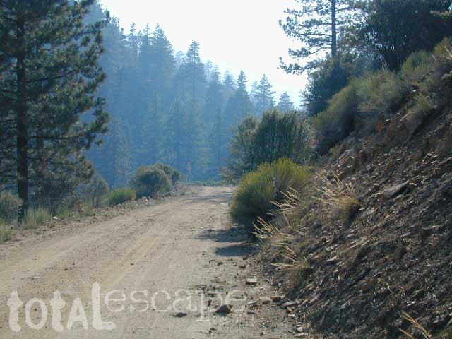
Graded dirt road – southbound, off Palms to Pines Hwy 74

Road conditions on dirt roads change with the weather and the seasons. This route can be rocky and uneven in spots. One lane road, on a big hill w/ minimal pullouts. Snow is possible, during winter & springtime. This route often closed during winter months – or for rock slides. Trailers and RVs are not recommended on this dirt road, although small motorhome campers can try.
ROUTE CURRENTLY CLOSED? find out on USDA web site link
Elevation approx 6000′ @ HWY
w / route continuing up to Toro Peak @ 8740′![]()
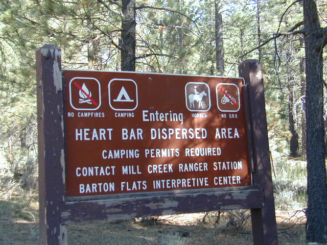
NFS local camp sites:
- Santa Rosa Campground
- Santa Rosa Springs Campground
- Toro Campground
Bare bones, primitive camp sites. Tables, fire rings. Must have a campfire permit for this region. Vault toilets? None.

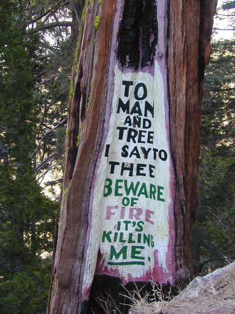
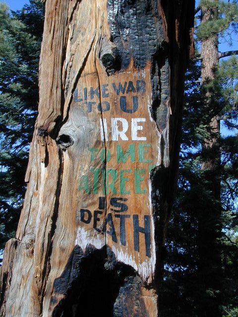
Did I mention the wind yet? Tall trees do block a majority of the wind, but some areas get whipping – so choose your tent site wisely. And stake it down well, before that quick day hike. Since this is a mountain ridge line, expect thunderstorms, wind and possibly light snow.
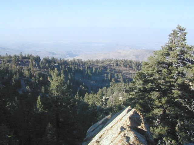
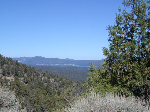
The big, famous Palm Canyon in Palm Springs starts below. The impressive desert canyon trails lead up to highway 74. Continue on foot uphill, southbound, cross the pavement, and end up in this Toro Peak region. Small campgrounds, few people, great views over the desert. Pick a smog free weekend (with wind) for best Coachella Valley views.


