Tag Archives: idyllwild

7S02 – San Berdu NF

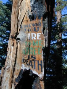
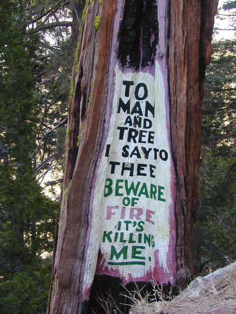
Fire Safe Trees

Toro Peak
Forest Road# 7S02

Santa Rosa Truck Trail
San Bernardino National Forest

South of Palm Desert, CA
Southeast of Idyllwild, CA
SE of Lake Hemet
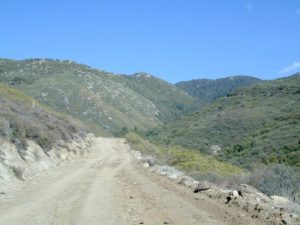
Graded dirt road – southbound, off Palms to Pines Hwy 74

7S02 up hill

Road conditions on dirt roads change with the weather and the seasons. This route can be rocky and uneven in spots. One lane road, on a big hill w/ minimal pullouts. Snow is possible, during winter & springtime. This route often closed during winter months – or for rock slides. Trailers and RVs are not recommended on this dirt road, although small motorhome campers can try.

ROUTE CURRENTLY CLOSED? find out on USDA web site link

Elevation approx 6000′ @ HWY
w / route continuing up to Toro Peak @ 8740′NFS

NFS local camp sites: 

  • Santa Rosa Campground
  • Santa Rosa Springs Campground
  • Toro Campground

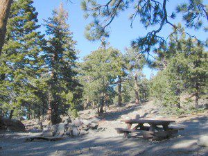
Bare bones, primitive camp sites. Tables, fire rings. Must have a campfire permit for this region. Vault toilets? None.

toro_campsite

Did I mention the wind yet? Tall trees do block a majority of the wind, but some areas get whipping – so choose your tent site wisely. And stake it down well, before that quick day hike. Since this is a mountain ridge line, expect thunderstorms, wind and possibly light snow.

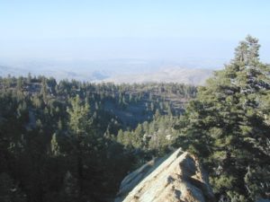
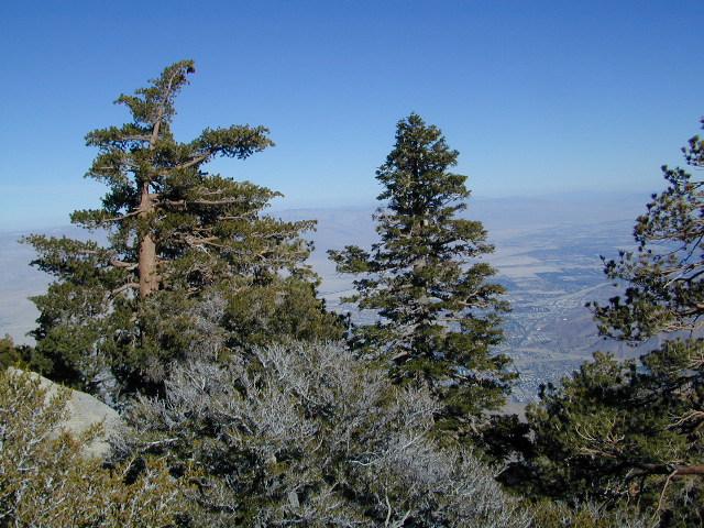
The big, famous Palm Canyon in Palm Springs starts below. The impressive desert canyon trails lead up to highway 74. Continue on foot uphill, southbound, cross the pavement, and end up in this Toro Peak region. Small campgrounds, few people, great views over the desert. Pick a smog free weekend (with wind) for best Coachella Valley views.
San Berdu Idyllwild SoCal

Santa Rosa Wilderness

San Jacinto Camping

jacinto campground

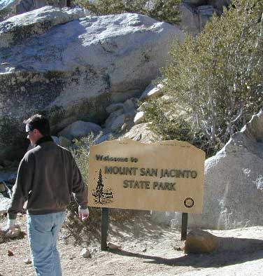
Mt San Jacinto State Park & Idyllwild Campgrounds

San Jacinto State Park Headquarters
25905 Highway 243
Idyllwild, CA 92549

Rangers & Wilderness Permits
951-659-2607

Mount San Jacinto State Park is surrounded by Wilderness area, the village of Idyllwild & the Palm Springs Tram station. Tahquitz Peak close to Idyllwild, is a rock climbing favorite.

Stone Creek Campground is located in the forest, along Highway 243. Elevation 5900′ w/ 50 camp sites & max RV = 24′

Idyllwild Campground is walking distance from town. North end of Idyllwild, CA. 33 camp sites & max RV = 24′

San Jacinto State Park
takes campground reservations!

For more Idylwild Camping options see –

San Bernardino Campgrounds & Yellow Post Sites

Topo trail maps, wilderness hiking maps –

nearby towns:

Los Angeles Mountains

LA forest / Los Angeles Mountain / LA National Forest

wrightwood

Los Angeles forest & parks –

San Bernardino National Forest
Angeles National Forest
Los Padres National Forest

Santa Monica Mountains NRA
Malibu Creek State Park
Verdugo Mountains Park
Mount San Jacinto State Park

+ numerous Wilderness Areas

Los Angeles Mountains
Maps & Hiking Trails –

Los Angeles mountain towns –
Big Bear, Angelus Oaks, Arrowhead, Forest Falls, Green Valley Lake, Idyllwild, Wrightwood

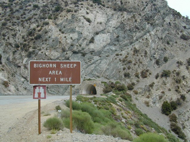
Tunnel thru Rock

Angeles Crest Highway
Angeles Crest Highway 2

San Jacinto Wilderness

Jacinto Maps

Southern California / San Jacinto Wilderness Area / San Jacinto Mountain / Palm Springs Mountain Hike

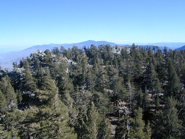
The well-photographed snowy mountain backdrop behind the desert deluxe resort-land known as Palm Springs, Mount San Jacinto is the second tallest peak in Southern Cal.

Mighty San Gorgonio peak, across to the east – on the other side of the valley, is the very highest mountain in this desert region. Granite Jacinto peak is located in between the mountains of Idyllwild and the low deserts of Palm Springs.

32,248 acres

Mount San Jacinto – 10,834′ elevation

San Bernardino National Forest

JACINTO PARK access –

Palm Springs via Tram

Book tickets online!

Nearest towns:
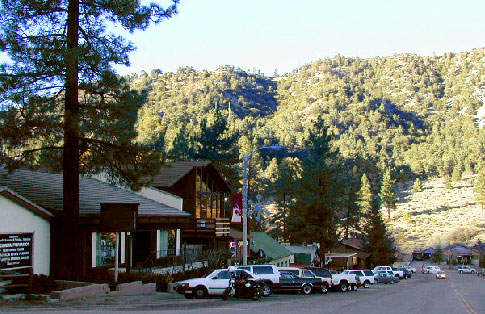
Idyllwild CA
Pine Cove CA

jacinto peak

Day hikes, picnic in the forest, backpacking, horseback rodes w/ SUPER easy access via the fantastic Palm Spring Tram ride, up to 8000′ elevation.

The San Jacinto Wilderness is managed by 2 different agencies: The National Forest Service and California Department of Parks & Recreation.

If you are camping overnight in the forest, you must get your wilderness permit from the agency that administers the area where you plan to spend the night. Day-use permits can be obtained on the day of your trip by visiting one of the ranger stations below. Day-use permits issued by either agency are honored by both, except during the busy summer months when permits to enter the Wilderness via Devil’s Slide Trail can be obtained only from the National Forest Service.

Camping permits can be obtained in advance by mail, in person, or online w/ PDF. National Forest Service accepts requests up to 90 days in advance; Mount San Jacinto State Park accepts them up to 56 days in advance. You can also get them on the day of your trip, if any are available at that time.


USDA National Forest Service
San Jacinto Ranger District
54270 Pine Crest Ave
Idyllwild, CA 92549
951-659-2117

Mount San Jacinto State Wilderness
25905 Highway 243
Idyllwild, CA 92549
951-659-2607

regional trail maps –

San Jacinto Hiking Maps

Mount San Jacinto State Park is surrounded by San Jacinto Wilderness

More San Jacinto Wilderness Info & Links –

summitpost.org/jacinto-peak
San Jacinto Peak Wiki
USDA San Jacinto Wilderness
Mount San Jacinto State Park