Tag Archives: stargazing

Big Meadows California

Highlands Ranch
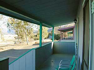
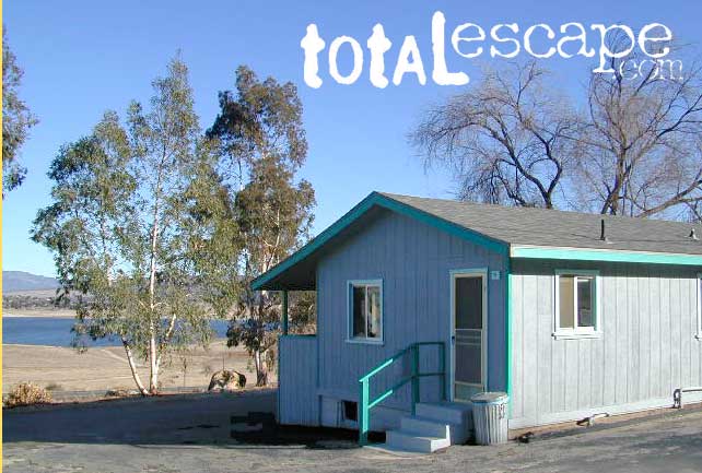
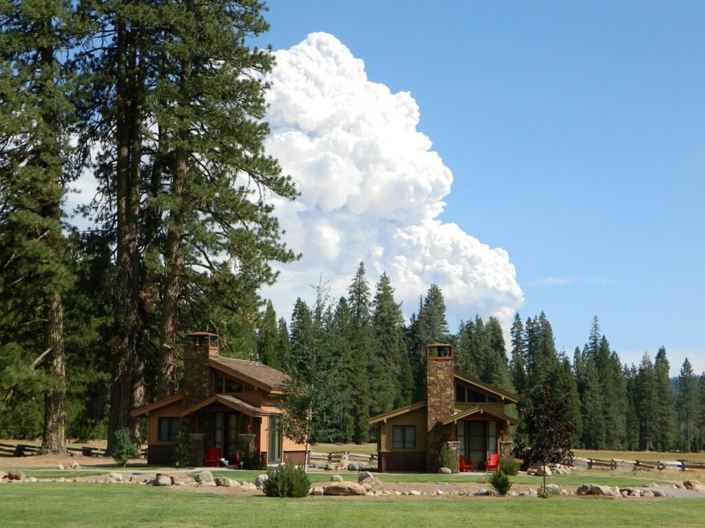
Highlands Ranch Resort cottages on Child Meadow
Childs Meadows Lassen
Childs Meadows @ Lassen

Big Meadows, California

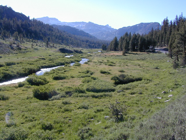
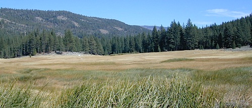
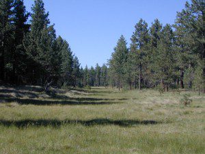
In the mountains numerous places called ‘big meadows’ exist in California. Large meadows, huge meadows, high elevations and low. We are truly blessed by such a natural beauty in our local region. Remember those who have protected the land for future generations.

  • camping near
  • picnic
  • cattle grazing
  • hike thru
  • bike around
  • horseback riding
  • cross country ski
  • snowmobiling
  • stargazing
  • wildflowers
meadowroad
Inyo National Forest – highcountry backroads

For Southern California meadows – Mount Pinos has a large meadow next to the walk-in campground, Chula Vista. San Diego’s Laguna Mountain has some meadows and Big Bear Lake offers sage meadows, on the Fawnskin side.

Wild Meadows range from 3000′ elevation in the foothills, to about 11,000′ elevation in the highcountry. Vacant of trees, these wide open areas are generally colder spots, with moisture and with fragile ecosystems.

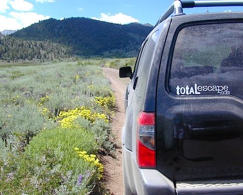
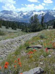
Eastern Sierra’s Inyo has gorgeous meadows of lupine wildflower (see above). Cattle grazing and 4×4 roads all over, up to 12,000′. High country mountain peaks surround. That area is called Coyote Flat w/ Coyote Lake. 4WD needed! Winter, snowy and almost inaccessible.

SNOW – Since meadows are generally located in the mountain regions, deep winter snow can make these special places impossible to reach (for about half the year). Summer is the prime time to explore the higher elevations, so plan accordingly.wildflower

WILDFLOWERS – Remember that the higher the elevation, the later the wildflowers will bloom. High Sierra meadows often bloom well into July & August.

AUTUMN COLORS – Aspen groves are often located next to meadows. Fall colors can be quite decent around October, before the first snow fall of the season.
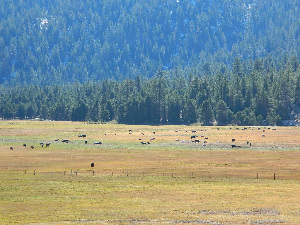
Big Meadow Kern
Big Meadow, Kern Plateau in Sequoia NF

MENDO glade – In the Mendocino National Forest the meadows are called “glades” – and the area has been heavily impacted by wildfire. Snow Mountains Wilderness was totally burnt in the Ranch Fire 2018, the largest wildfire in California history.

NORCAL history – Some Mountain Maidu tribes are known as the “Big Meadow Indians” – they made the Big Meadows of the Upper Feather River their home. Damming the Feather River created Lake Almanor in 1914, which flooded the meadows and forced native people to relocate.
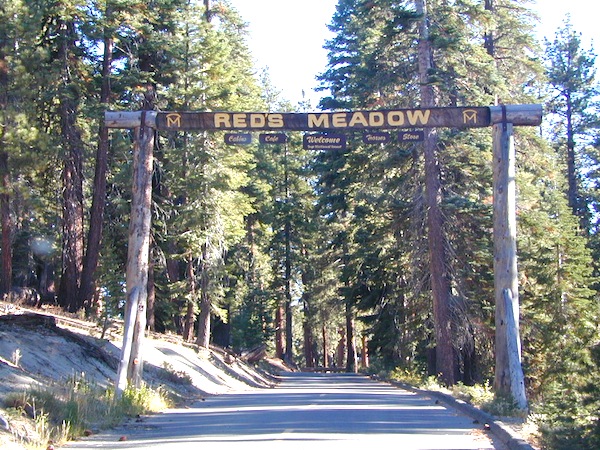
reds meadow
Horse pack station Red’s Meadow, behind Mammoth Mtn. Eastern Sierra

The Big Meadows below are listed from south to north.
Enjoy!

Big Meadow Sequoia, Kern Plateau, off Sherman’s Pass Rd

Big Meadows Road #14S11, Giant Sequoia NM
(in between Kings Canyon NP & Sequoia NP)

Big Meadow Campground, Sequoia, Road #14S11

Big Meadows Campground, Stanislaus NF, near Arnold, CA

Big Meadows Campground, El Dorado National Forest

Big Meadow Campground, Rock Creek Canyon, Eastern Sierra

Big Meadow Campground, Hell Hole Reservoir
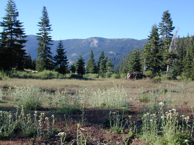
Cherry Mdws

Other awesome meadow areas include –

Monache Meadows, near Kennedy Meadows @ PCT
Horse Meadow Campground NFS, Kern Plateau
Dome Land Wilderness – Manter Meadows
Shirley Meadows Road #25S15
Powell Meadow Rd#21S36, Sequoia National Forest
Jerky Meadows – Lloyds Meadow Road #22S82
(primitive camping & trailhead Golden Trout Wilderness)
Jackass Meadow, Sierra National Forest
Horseshoe Meadows Road, Lone Pine, CA
Dinkey Creek Road, Sierra National Forest
Lake Henshaw, N San Diego County
Laguna Meadows, Cleveland NF, San Diego Mountains
Indian Valley – Greenville & Taylorsville, North Sierra
Grover Hot Springs, Sierra Nevada
Dixie Glade Campground, Mendocino NF
Kingsley Glade Campground, Mendocino NF
Sugarfoot Glade Campground, Mendocino NF
Beasore Meadow, way up behind Bass Lake, CA
Dunderburg Meadow, off Green Creek Road
Butte Meadows – N of Chico, CA
Blue Lakes Road – Sierra Nevada, South of Tahoe
Kaiser Pass Meadows, above Huntington Lake, CA
Jones Valley/Jones Meadow – SR 172 in Lassen NF
Spencer Meadows (hike) – trailhead @ Hwy 36 @ Lassen
Battle Creek Meadows @ Mineral, CA & Lassen NF

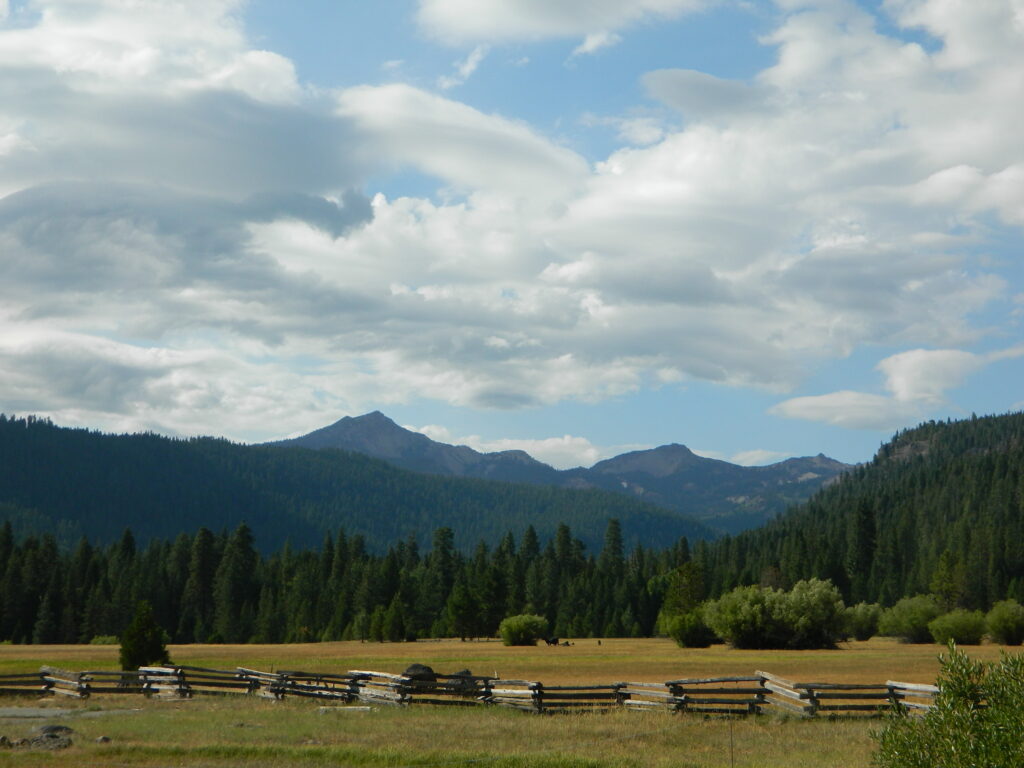
Childs Meadows – along Hwy 36 @ Lassen NF
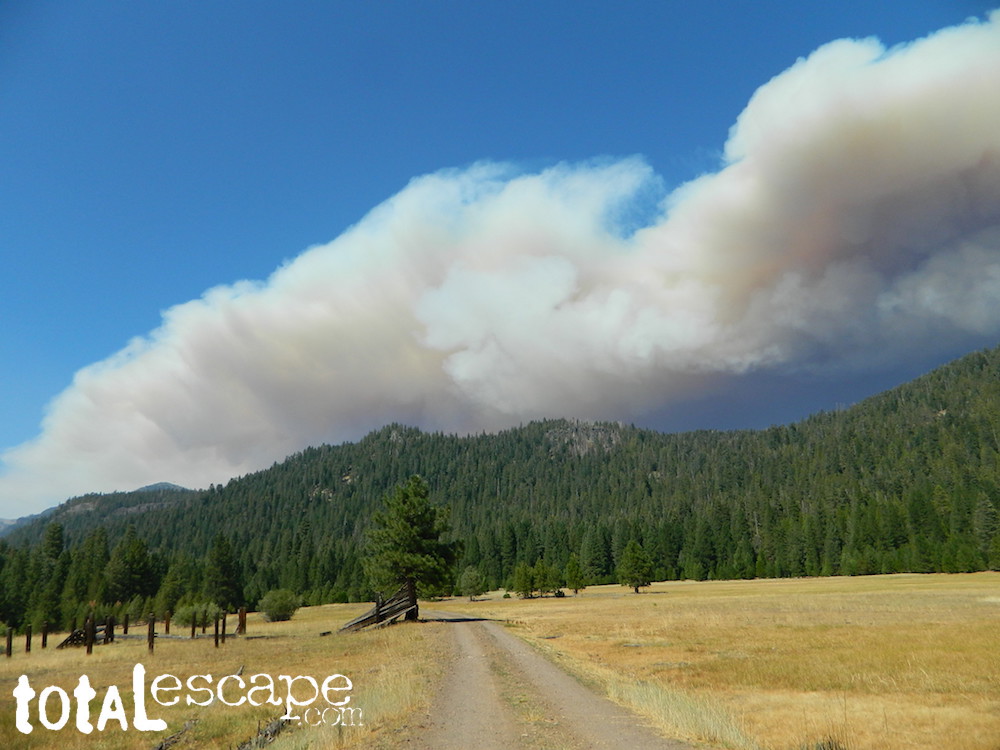
Dixie Fire @ Childs Meadow AUG 2021

MOUNTAIN MEADOWS are the perfect place to watch meteor showers! Bring your tarps, blankets, pillows and lounge chairs, plus plenty of snacks & drinks for the overnight adventure.
LagunaMdws
Laguna Mdws, Cleveland NF
inyohighroad
click to expand

7S02 – San Berdu NF

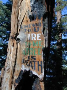
Fire Safe Trees

Toro Peak
Forest Road# 7S02

Santa Rosa Truck Trail
San Bernardino National Forest

South of Palm Desert, CA
Southeast of Idyllwild, CA
SE of Lake Hemet
Graded dirt road – southbound, off Palms to Pines Hwy 74

7S02 up hill

Road conditions on dirt roads change with the weather and the seasons. This route can be rocky and uneven in spots. One lane road, on a big hill w/ minimal pullouts. Snow is possible, during winter & springtime. This route often closed during winter months – or for rock slides. Trailers and RVs are not recommended on this dirt road, although small motorhome campers can try.

ROUTE CURRENTLY CLOSED? find out on USDA web site link

Elevation approx 6000′ @ HWY
w / route continuing up to Toro Peak @ 8740′NFS

NFS local camp sites: 

  • Santa Rosa Campground
  • Santa Rosa Springs Campground
  • Toro Campground

Bare bones, primitive camp sites. Tables, fire rings. Must have a campfire permit for this region. Vault toilets? None.

toro_campsite

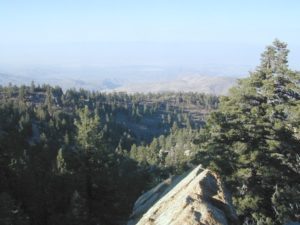
Did I mention the wind yet? Tall trees do block a majority of the wind, but some areas get whipping – so choose your tent site wisely. And stake it down well, before that quick day hike. Since this is a mountain ridge line, expect thunderstorms, wind and possibly light snow.

The big, famous Palm Canyon in Palm Springs starts below. The impressive desert canyon trails lead up to highway 74. Continue on foot uphill, southbound, cross the pavement, and end up in this Toro Peak region. Small campgrounds, few people, great views over the desert. Pick a smog free weekend (with wind) for best Coachella Valley views.

San Berdu Idyllwild SoCal

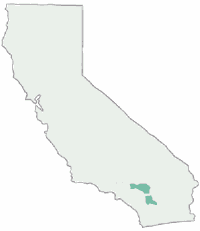
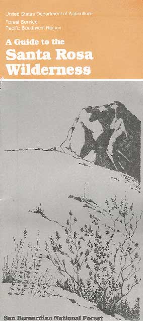
Santa Rosa Wilderness

Los Coyotes

los coyotes SD

Los Coyotes Camping
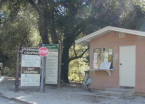
Los Coyotes Reservation Campground

North County San Diego
Camping SD

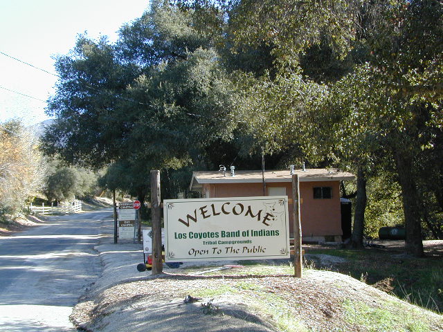
Way out there, on your way to the Borrego desert, past Warner Springs somewhere is this little gem of a location. Near the southern slopes of Palomar Mountain, on the edge of Cleveland National Forest.

Los Coyotes Band of Indians Tribal Campground

open to the public

Great rural location, in-route to many destinations in Southern Cal. Temecula wine country, Warner Springs, Culp Valley, Anza Borrego Desert State Park, Borrego Springs.

Campground is a popular spot with locals, so note that some weekends can get rowdy. Ask about a more secluded camp site option if needed. There is plenty of primitive land out here.

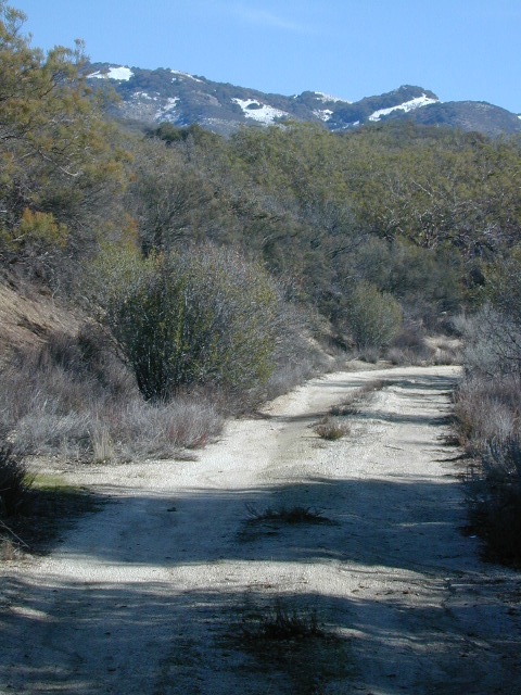
Oak trees and boulder hills, dirt roads, near Hot Springs Mountain. North San Diego County.

Los Coyotes Band of Cahuilla & Cupeño Indians

Warner Springs, CA 92086
RECREATIONAL# 760-782-0712
ADMIN# 760-782-0711

payherebooth

snowx
Hot Springs Mountain SD

California Eclipse

Moon Eclipse

The Blood Moon

Solar Eclipse & Lunar Eclipse

Eclipse schedule, as seen from California

Make plans for your nights spent camping out, under the stars, watching the celestial events and meteor showers. Comfortable: Hat, blanket, radio. Hot cocoa and sugary treats will help keep you awake and alert.

Next Solar Eclipse, 2024

April 8, 2024 — Great North American Eclipse
(see more info)

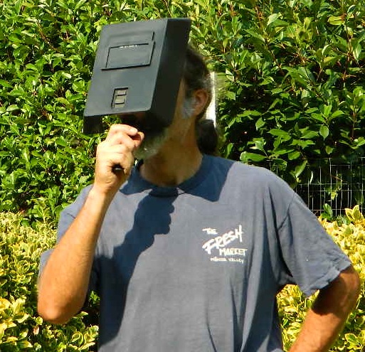
faceshield

stars

Upcoming Lunar Eclipse

2021 Lunar Eclipses


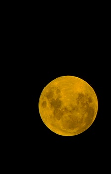
May 26: “Blood moon” total lunar eclipse

Across western North America you will be able to witness the moon blush red as it undergoes a total lunar eclipse. This dramatic astronomical event happens when the sun, Earth, and moon are precisely aligned so that our planet’s shadow completely blankets the moon’s face. (see more info)

orange, red or amber colored moon
A total lunar eclipse is sometimes called a Blood Moon, because of the reddish tinge the Full Moon takes on when fully eclipsed.

November 19: Partial lunar eclipse

Last lunar eclipse of the year will greet sky watchers across North and South America. Technically a partial eclipse, up to 95 percent of the full moon will be cast within Earth’s dark shadow. During the maximum phase, it should briefly appear as a total eclipse, which means the lunar disk may show hints of orange or red. (see more info)

moonfire

best places to watch the skies

 The California Deserts are sometimes the best place to watch the nights sky, unless the winds are kicking up. Deserts are warmer than other locations and if you position yourself well you can be far from any city lights.

The California Foothills, both coastal foothills or mountain foothills – are the second best choice, if you can drive up canyons and get well away from the sprawling suburbs. Choice spots would be ridges above 2000′ elevation, with minimal trees. Oak foothills are choice spots. Higher than 4000′ and you will be chillin overnight.

The California Mountains are the prime choice for summertime recreation of all kinds. Primitive camping on the back roads will save you fees at a developed campground. The higher in altitude, the less atmosphere above you – the better night sky viewing is above. Choose a meadow or mountain ridge w/ minimal trees. Burn areas provide wide open spots, so you can seek old wildfire ridges. Nights can get pretty chilly most all year long, so go well prepared. Jackets, gloves, hats and all. Keep all campfires to a bare minimum after 9pm, so you can focus on the stars in the sky.

your pupils will welcome the dark skies

The California Coast is often covered with a thick layer of clouds and moisture, so star gazing along the ocean front is not always great. Central Coast and NorCal beaches have less less population, so these would be the ideal locations. Choose an inland valley w/ rolling oak hills and dirt roads, over the busy beaches. There might be clear days and nights, especially if forecast call for heat – check the local weather forecast for accurate up to date conditions.

Large urban areas, the cities and towns of California are the worst place you can sky watch, due to light pollution, traffic and smog. Drive to the outskirts of town – pick a dark location, a park, open space or forest lands nearby. Arrive before dark to get the best spots, well off the main road. Choose viewing spots without street lights and without passing traffic. Find a nice level spot to set chairs up and bring lots of snacks.

Stargazing California

How to watch a meteor shower

Follow YouTubeYoutube
SuspiciousObservers

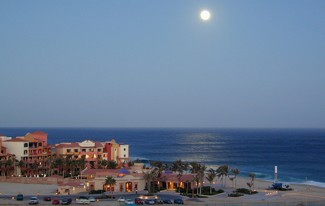
moonrise


Camping for Thanksgiving

Turkey Casserole
Turkey Leftovers?

California Camping on Thanksgiving

If you’ve had it with the traditions, the big meal prep, or just sick of the family. Maybe you are a solo traveler, or a new transplant to California and need to explore more. Take a holiday away – for once this time.

Camping for turkey day? What a concept.

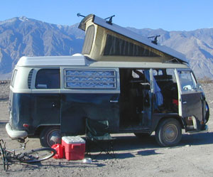
VWBus Death Valley
California is the perfect place for camping, all year long!


Stick to the lower elevations, look for canyons, and seek seclusion

California mountains often have snow during November. Avoid camping in snow @ 4000-5000′ elevation and above; Freezing temps above 3000-4000′ elevation.

Deserts, coastal regions and foothills are top choices for late Autumn car camping. Always check the weather ahead of departure, and have a plan B as an alternative. NorCal will be much wetter than the rest of the state.

MEALS: Prepare dinner meals ahead of trip departure. Bake turkey days before your trip and create meals based around that. Make mash potatoes at home and don’t forget to bring the butter. Pack pre-baked turkey for sandwiches, plus other quick snacks & meals for on-the-go travel.

seafood
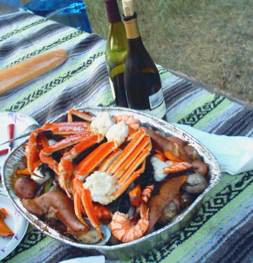
Non Traditional: Seafood Feast

Desert Camping is premium at this time of year. Luckily the eastern half of Southern Cal is desert. The lower the elevation, the better the temps will be overnight. Be prepared for wind when the ‘storm fronts’ approach, the winds do get a cranking! Dirt roads can become flowing washes during a good rainstorm, so know the weather forecast.

Coastal campgrounds may need advanced reservations. Be prepared for wet weather, especially up north. The redwoods groves are gorgeous anytime of year.

Gold County Reservoirs are prime areas for relaxing in nature, while everyone else is out shopping. Oak hills, rivers and canyons. RV campers love these large lakes; boating, fishing, mountain biking trails, kayak rentals, hiking near historic Gold Rush towns.

River Canyons of California are always beautiful destinations in the autumn months with fall leaves changing color. Many campgrounds can be found at lower elevation, river access areas.

California’s abundant Hot Springs are also top picks for holiday weekends.

Joshua Tree Campout

Joshua Tree National Park may be busy during this weekend. Instead try nearby Mecca: Box Canyon and Mecca Hills Wilderness, BLM desert lands near Interstate 10.

Anza Borrego Desert State Park is always a nice, easy and relatively close get-away for any holiday. Open camping on the backroads (for free) makes it one of the most attractive camping options in all of SoCal. Many dirt roads are accessible for passenger cars, if extreme caution is used. Don’t plan on driving more than a few miles on dirt.

froaders

Masses of off roaders love to camp out, especially on Thanksgiving weekend. Wheel all day, eat, drink, bon fires every night and rumor has it ‘they roast their big bird outdoors – deep in a dirt pit’. Really?

El Centro, Glamis, Imperial Dunes, Ocotillo Wells, Truckhaven Hills, Johnson Valley. All popular off roading areas in Southern California, so consider yourself warned.

Imperial Dunes

Mojave Desert, near US Hwy 395
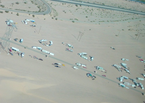
Jawbone Canyon expect to see RVs, toy-boxes and families outside enjoying the weekend. OHV style. Often the group tries to create a round corral with their huge convoy of vehicles, to keep thru traffic to a minimum around “their camp”. Just stay well away from those gear-heads. In general, it is a very busy area around Mojave up to Hwy 178 during the holidays. Try high desert Horse Canyon instead.

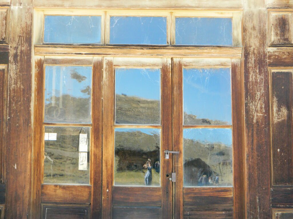
Bodie State Park
Bodie State Park

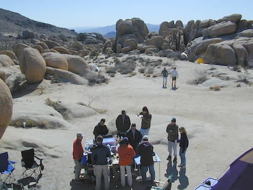
Tent Camping

Death Valley National Park is one of the best destinations for Thanksgiving, cuz Panamint Springs serves their free turkey dinner.

Did someone say FREE?

Leon at Mahogany

California Meadows

Cherry Mdws

California Meadows

California meadow is a common term people search for when dreaming of their mountain retreat vacation or upcoming weekend camping trip.

Meadows are places in the forest where cool air collects and settles. Deer among other wildlife, can often be found here grazing around dawn and dusk. Alpine meadows are usually surrounded by trees with lush green grasses, located at higher altitudes above 6000′ – the ‘highcountry’ as most like to say.

Find meadows on National Forest lands from 3000-10,000′ elevation, and it is not uncommon to see cattle grazing in these same regions. California National Parks have some of the most protected meadows in the golden state!

MT SAGE – mountain sage meadows

High desert mountains have drier landscapes, with large sage brush meadows surrounded by sparse pinon pine and/or juniper forest. The Mojave desert’s sagebrush reaches out westward to the peaks of West Kern County. High deserts and mountain meadows can both have significant wildflower blooms. The deserts start to show color in March & April, while the highest elevations of the Sierra Nevada can bloom as late as July & August. All California Wildflowers depend on autumn seasonal rains & snow melt.

Kennedy Meadows from Bald
Kennedy Meadows from Bald Mountain Fire Lookout

Wilderness Meadows

The best places to find secluded wildflower meadows is on the high country trails of various mountains – Mount Pinos, Sierra Nevada, Shasta, Trinity & Lassen – all have marvelous meadows, some have easy access w/ parking nearby and others are hike-in only. Locate hiking trailheads for meadows and possibly find camp nearby.

Excellent near Meadows:
Stargazing, Wildflowers, Wildlife Viewing, Horse Camping

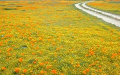
Explore dirt back roads of California to find your very own meadow. If you would like to explore at this level, a good topo map is highly advised. The Sierra Nevada mountains have the most beautiful meadows in the state (by far). Their scenery w/ granite outcroppings and wild flowers, surpasses all else. Although on rare occasions, even the Antelope Valley can look amazing — with poppies.

Common Wildflowers

BEST PLACES TO FIND MEADOWS

Lupine Drive

Rules of the Meadow

Mountain Meadows are sacred spaces: Do not disturb the lush, grassy landscape, as wildlife rely on these areas for survival.

No driving on meadows. No camping on meadows; No Campfires; Camp next to (or nearby), but not on top of the meadow. Picnicking should be kept on the sidelines.

4x4Stay on designated dirt roads: No tires across the meadow; No mountain biking, No dirt bikes, No off roading. You’re not spreading the seeds, you’re destroying a fragile ecosystem.

Ranch FENCING w/ barbed-wire is quite common around meadows, to keep cattle out of certain problem areas. Fences also help keep the wandering public out of private lands or sensitive areas.

hikerWhen hiking – stay out of the muddy spots and know that if you choose to hike directly across meadow, you may encounter water and deep, sinking mud. HINT: There is usually a shallow creek running through most meadows, during all times of the year.

Winter snow usually blankets these fragile areas in winter, and when deep enough – making this terrain prime destinations for snowmobilers.

Snow Mobiling

highmeadows

meadow views

Canyon Creek Campground

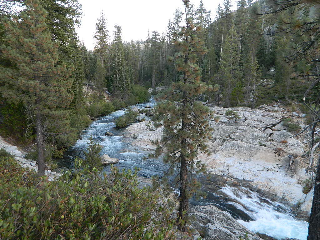
Tucked way back in the granite high elevations, near Donner Pass is a wilderness water flow called Canyon Creek. Connecting small lakes and big reservoir, this creek is part of the Nevada District water supply. The Sierra Nevada region is Tahoe National Forest and the terrain is abundant rock.

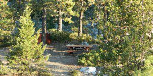
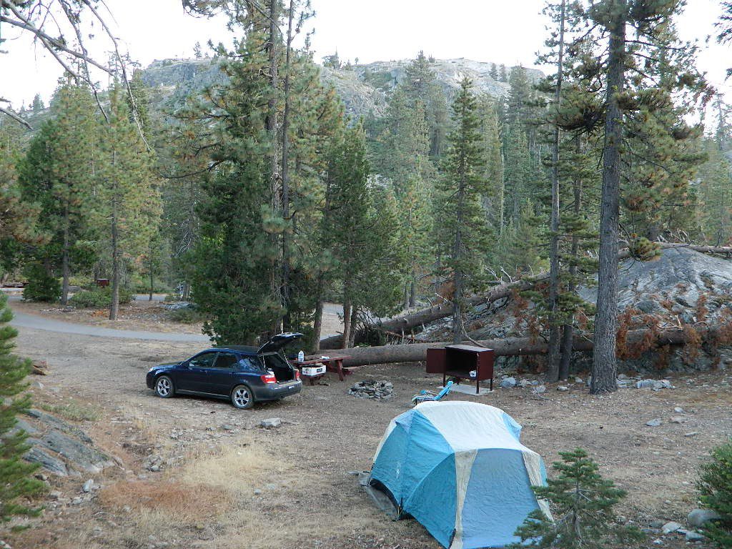
Campground is perched on the edge of rock overlooking the impressive whitewater; sounds of crashing water at certain campsites is deafening. Half of the campsites are located in a forest loop and the rest are out in the open, with much granite and fewer trees, perfect for star watchers.

Canyon Creek California


creekcanyon

Lake Faucherie is a mile up the creek and Sawmill Lake is a mile down stream, so it’s a great fishing location, as well as hiking, kayaking and canoeing destination. The Pacific Crest Trail (PCT) is also routed close by. A hiking trailhead at the north end of Sawmill Lake leads to a loop hike of small lakes.

Tahoe Rd 843

roughest roads in the region


Campground loop is paved, but the 12+ mile access road is NOT.
Twenty plus miles of paved & gravel backroads in boulder-hopping bliss, leads to granite lined lakes and forested campsites. Two different driving routes into this canyon:

  • One is the longer way Road 18 – paved access off of Gold Country Highway 20, which becomes an 8 mile long, rocky, rough, one-lane road around Bowman Lake.
  • The other is slightly shorter, county road #843 that comes in the back way from Jackson Meadow Reservoir (off Hwy 89, N of Truckee).

Both of these primitive roads join at Jackson Creek Campground, a favorite among off-roaders.

Canyon Creek Campground is another few miles up Road ##843-037, a rugged canyon route towards Lake Faucherie, where the road comes to a dead end.

Don’t let the old maps fool you: these National Forest Roads are labeled as gravel roads, but boulders and rock slides are quite common. 4×4 would be nice, but high clearance is recommended.

Minimal signs designate trails, roads and lake access; What signs that do exist are old, faded and broken. No warning signage reading ‘high clearance’ or ‘4WD recommended’ – so obviously Tahoe NF won’t be installing new signs anytime soon.fish

  • backpacking

  • camping

  • canoeing

  • fishing

  • hiking

  • kayaking

  • stargazing

Grassy Picnic Faucherie Lake

Faucherie, Sawmill and Bowman Lakes are all along this waterway called Canyon Creek.

National Forest Campground
Latitude: 39.436863
Longitude: -120.579564

Canyon Creek Campground

• Elevation: 6600′
• Number of Sites: 20
• Toilet: Vault
• Vehicle Access: High Clearance Vehicle, no trailers
• Campsites Reservation: No
• Camp Fee: No
• Length of Stay: 14 Days
• Season: June – October
• Trailheads: Faucherie & Sawmill Lakes
• Managing agency: Nevada Irrigation District
530-265-5302

Small Site

Canyon Creek Campground is an excellent campground for staying away from the crowds, which seem to focus more around Bowman Lake & Jackson Meadows Reservoir.

check

All campsites at this campground have steel bear boxes – for proper food storage in black bear country.

granite camp

Prefer camping outside of developed campgrounds? then the primitive camp sites that line Canyon Creek will be a welcomed surprise. Most are clearly marked with small signs and some may require 4×4 to access. When fire restrictions are tight, campfires are only allowed in the developed campgrounds.

granite loop
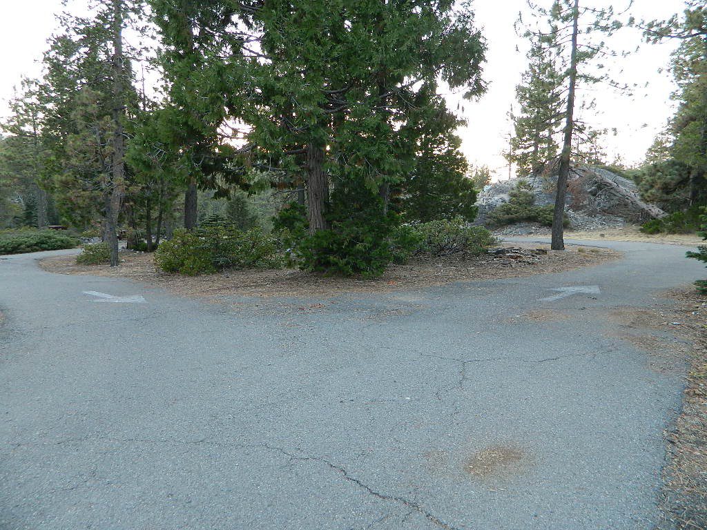
Two paved loops at this small campground.

pinetree

Lake Henshaw

henshawabove

Lake Henshaw
North San Diego County

Lake Henshaw is next to Cleveland National Forest with Palomar Mountain State Park closeby. The northern border of Anza Borrego Desert State Park is not too far away either.

MAPS of this region –SAN DIEGO mountains map

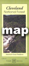
Cleveland National Forest USDA
Cleveland Forest Topo Atlas USDA
Anza Borrego Desert Map
San DiegoBackcountry Map
Agua Tibia Wilderness Map

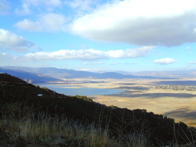
If you are imagining a forested alpine lake near Palomar Mountain, this is not it. Henshaw is a countryside area w/ meadow setting near ranches with open skies and open terrain. Can be windy at times! Can be hot in late summer.

Perfect remote spot for stargazing. Henshaw is the nearest body of water to Mount Palomar & is located on Hwy. 76, but the terrain is quite the contrast to the pine topped mountain nearby.

treebwTREES: Lake Henshaw has very few trees; mostly large open spaces & fields surrounding it. Cattle grazing & rolling hills w/ mountain backdrop. Stargazing and fishing cabins is more fitting of a description. This bare bones basic, little cabin resort offers a true get away from civilization for maximum relaxation close to SoCal cities.

Lake Henshaw specs:
elevation: 2740′
surface area: 1137 acres

Lake Henshaw Resort
760-782-3501
lakehenshawresort.com

Camping – 400 developed camp sites for tent and RV. swimming, picnicking, hiking, cabins, groceries

fishing:

  • trout
  • catfish
  • bluegill
  • bass
  • crappie

boating:

  • boat launch ramp
  • canoe
  • kayak
  • row boat
  • power boats
  • boat rentals available
  • inflatables
  • windsurfing

California Fishing Cabins SoCal

The Geminids Meteor Shower

palomar cabin

Geminid Meteor Shower

One of the better winter star shows. This well known meteor shower peaks in mid December, right in the middle of Christmas Rush. It’s a nice time to plan a desert camping trip around or a weekend away in the mountains. Look in the southern part of the nights sky these shootings stars.

The meteors from this shower are slow moving, can be seen in December and usually peak around the 13th – 14th of the month, with the date of highest intensity being the morning of the 14th. The shower is thought to be intensifying every year and recent showers have seen 120–160 meteors per hour under optimal conditions, generally around 02:00 to 03:00 local time.

The meteors in this shower appear to come from a radiant in the constellation Gemini (hence the shower’s name). However, they can appear almost anywhere in the night sky, and often appear yellowish in hue. Well north of the equator, the radiant rises about sunset, reaching a usable elevation from the local evening hours onwards.

http://en.wikipedia.org/wiki/Geminids

Annual event; December

xmascabins

How to best view a Meteor Shower

California Deserts

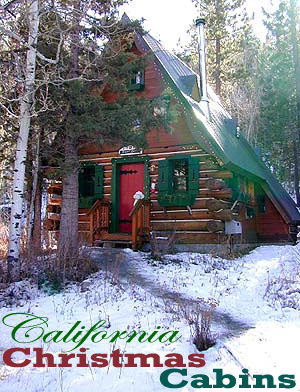
California Christmas Cabins

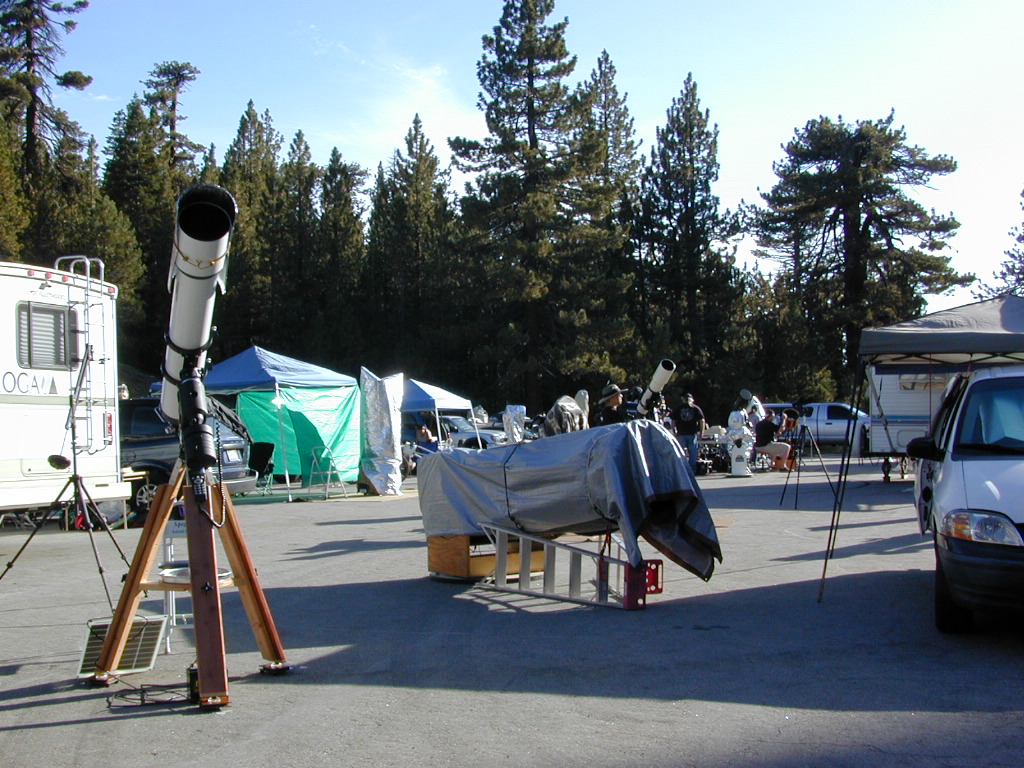
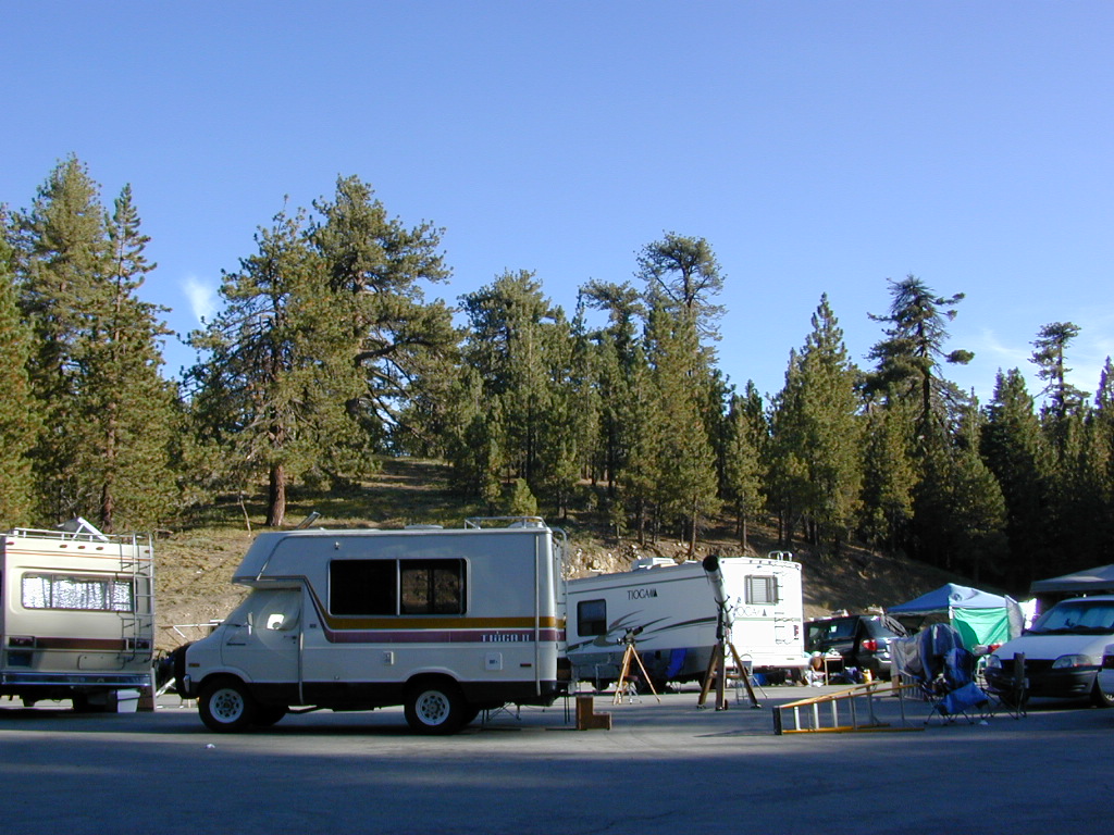
California Amateur Astronomy

List of California Astronomy Clubs & Groups

Mount Pinos Lot

Southern California


Star Gazer

DSCN0012

Central & Northern California


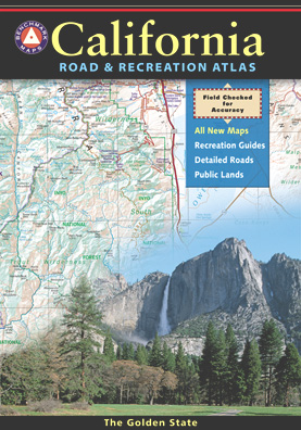
Benchmark Map for California

California Camping Maps

California Campground Maps

Maps are the key to finding your very own slice of heaven in the Wilderness. Online map sources can barely get you to your city destination correctly, much less the remote waterfall you desire. You will need a real map for your adventure. A topographical map, with all the details, dirt roads & hiking trails. If you are seeking to stay away from the touristy crowds, this is the best possible place you can be…. on this site, searching for ways to make it happen – this weekend.
BACKPACKERS BACKPACKING MAPS –

maps of California
Mount Whitney, John Muir & way beyond the High Sierra. DanaMite has all the California Wilderness maps on the new map shop. Various brands and types of maps. Most are printed on waterproof plastic now & are tear-resistant.

CAR CAMPING MAPS –

El Dorado Camping
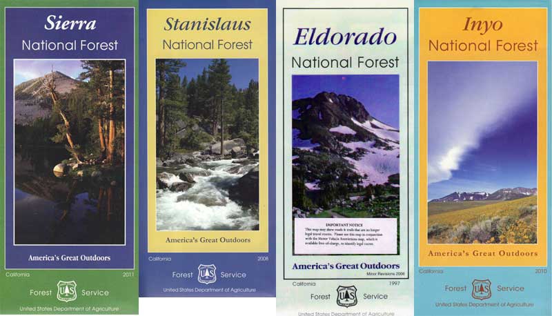
Planning on camping outside of the developed campgrounds & finding that perfect stream side spot without the reservation & the fees? Then you will need a free fire permit (from a ranger station), plus a good map of the forests & a vehicle capable of handling the rugged the back roads. Much of California is prone to wildfires, so make sure campfires are even allowed on the backroads, before you get out there. Call the “field rangers” for back road advice and current recommendations.

CALIFORNIA OFF ROAD MAPS –

Wanna take that 4×4 vehicle somewhere really special this season? Camp well beyond the masses, way down that dirt road. We have OHV maps for SoCal, the deserts & all the National Forest maps too.

CALIF CAMPGROUND MAPS –

Start your search on the perfect campground or camp site with the destination in mind. Mountains, deserts, coastal. Parks & forests all have their own maps with all nearby camp grounds listed. We feature all the National Forest maps, as well as some State Park & National Park maps

See all California topo, hiking, camping maps

Sierra Nevada maps

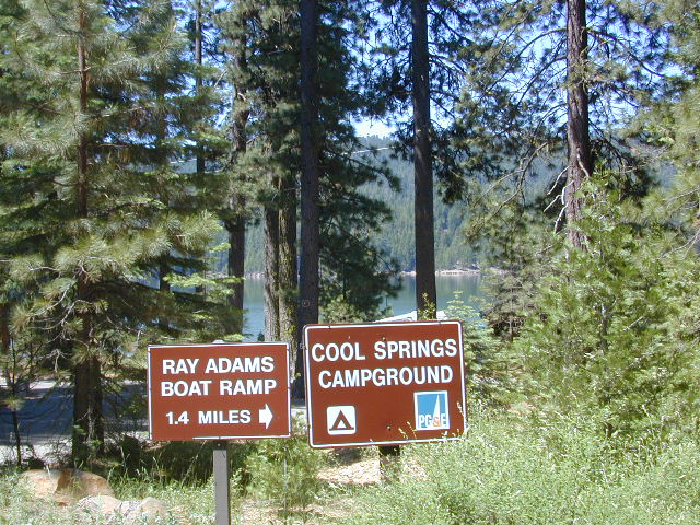
coolsprings

  • California A to Z
  • California Camping
  • California Elevations
  • Camp Firewood
  • Camp Potty
  • RV camping deep in the Sierra
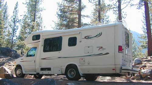
    RV camping at it's best in the Sierra; This rig found themselves deep in the alpine lush meadows with towering trees and a view and a very private camp site.
    Big Bend CA
    Big Bend Ranger Station, off I-80

    Faucherie Lake

    Faucherie Kayak Camp

    Faucherie Lake California

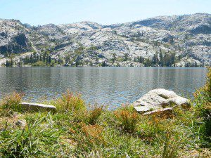
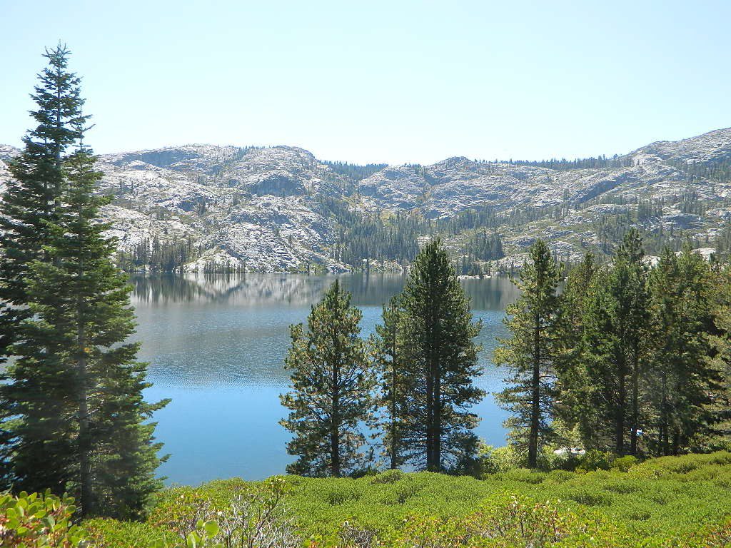
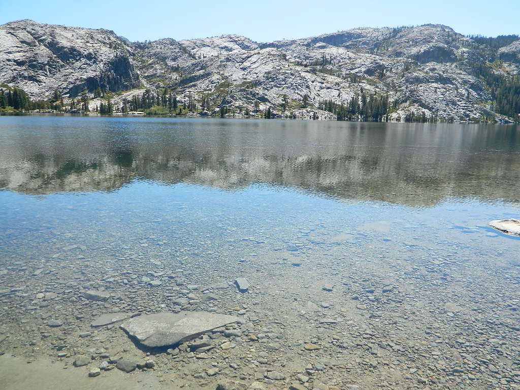
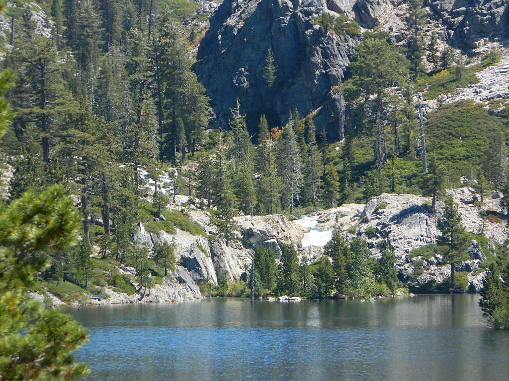
    Lake Faucherie is set in spectacular scenery of granite mountains, with peaks and waterfalls all around. Many believe that you could only reach this kinda high elevation beauty by foot, with a backpack, but here it is – accessible by a very long, rough & rocky backroad.

    No motorhomes, no camper trailers, no motorboats, no engine noises on the lake, no big families. Just well-deserved solitude, finally. Peace and quiet!

    Perfect alpine lake for car-top boaters – those who carry their boats on top of a vehicle. But be warned very few ‘passenger cars’ make it back this far, due to the challenging roads.

    BACKPACKING, CAMPING, CANOEING, FISHING, FLOATING, HIKING, KAYAKING, OFF-ROADING, SOAKING, STARGAZING, SWIMMING

    No motorized boats or watercraft allowed. One public boat ramp; gravel parking area, vault toilets, gated entry for group campground. No more driving across dam (it is now gated).

    NFS NFS NFS kayak camp hiking mountains NFS backroads snowmelt stars

    Faucherie Lake Road – a spur road, off of the ‘843 Road’ leads up to both Sawmill & Faucherie Lakes, as well as the Canyon Creek Campground.

    This primitive road forks off at Jackson Creek Campground, Tahoe NF, way, way back behind Bowman Lake. The rugged route is also known as Nevada County Rd #843-037. Conflicting numbers appear on USDA web site for this route, so don’t get confused.

    The brown Forest Service signage is decent at Jackson Creek Campground – so if you get that far, you’re almost there. Sorta. Did I mention how crazy the road is? Any wet weather or snow will make this route “4×4 required”. This place is closed off about half the year, due to deep snow (NOV-MAY). Although on summer weekends, this area is busy for a remote high Sierra lakes region.

    To reach this rugged Canyon Creek takes hours of driving with a good backcountry map and a reliable, high clearance rig. AWD Subies and mini SUVs beware, you’ll need a spotter on the bad sections of this road (or risk serious oil pan damage). Or perhaps maybe, we “shouldn’t be back on these kinda roads in that ‘lil sportwagon’ missy.”

    See more details on driving directions for Canyon Creek Campground.

    Crystal Clear Faucherie

    Faucherie Lake Group Campground
    (25 people maximum per site)

    • Elevation: 6135′
    • Number of Sites: 2
    • Vehicle Access: High Clearance Vehicle, no trailers
    • Campsites Reservation: Yes
    • Camp Fee: Yes
    • Season: June – October
    • Trailheads: Faucherie Lake Falls, Five Lakes Basin, French Lake, Haystack Mountain

    camp
    Faucherie Group Camping

    Campground Reservations:
    Nevada Irrigation District
    530-265-5302

    incoming flow

    Faucherie Falls – Six waterfalls above lake:
    Upper Faucherie Lake Falls #1: 39.4257 N, 120.5616 W
    Upper Faucherie Lake Falls #2: 39.4257 N, 120.5606 W
    Upper Faucherie Lake Falls #3: 39.4262 N, 120.5568 W
    Upper Faucherie Lake Falls #4: 39.4268 N, 120.5550 W
    Upper Faucherie Lake Falls #5: 39.4270 N, 120.5544 W
    Upper Faucherie Lake Falls #6: 39.4272 N, 120.5538 W
    USGS Topo: English Mountain

    Granite Faucherie