Centerville is a popular place name inside California
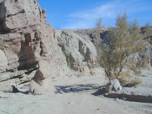
Centerville Flat Campground
Alpine Co.
@ California State Route 4 (Hwy 4 east Ebbetts Pass). Silver Creek meets the east fork of Carson River in the majestic Eastern Sierra, W of US Hwy 395.
Humboldt-Toiyabe National Forest
Centerville Flat Dispersed Campground NFS
Open all year, no fee, vault toilet
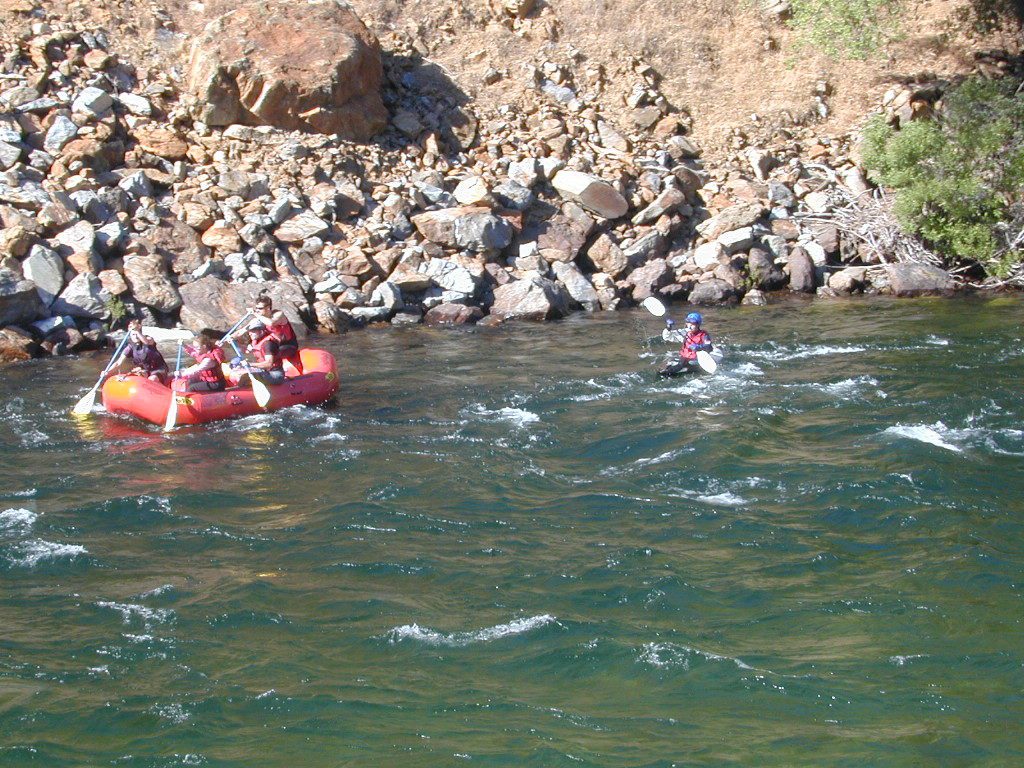
Latitude : 38.631372
Longitude : -119.723082
![]()
Centerville Beach
Humboldt Co.
Centerville Beach County Park
4000 Centerville Road
Ferndale, CA
Contact: 707-445-7651
North Coast California, Humboldt County – This long steep coastline was the place of a historic event in 1860s, a ship wreck off the coast. In heavy seas, the ship beached 20 miles below the mouth of Humboldt Bay, near the village of Centerville. https://en.wikipedia.org/wiki/Centerville_Beach_Cross
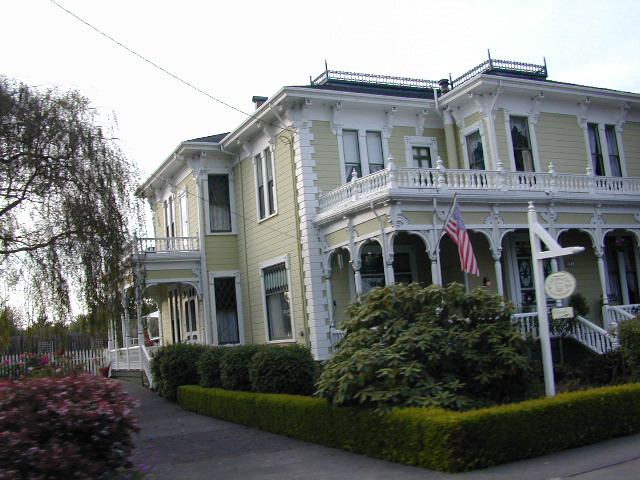
Northern Cal
Ferndale, CA – has dining, accommodations, local business, and maybe an RV park. Mostly residential. Rural farmlands, forests, and remote. Wild, windy, rugged coastline.
![]()
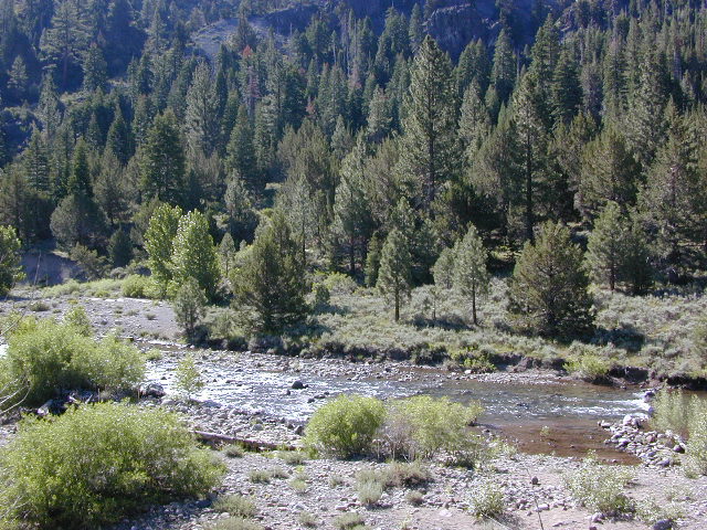
Centerville, CA
Butte Co.
In between Chico and the volcanic ridge (called Paradise), is the historic Centerville Road, which leads to oak lined canyon of the small community of Centerville. Mostly rural residential w/ a museum, schoolhouse, creek, covered bridge, maybe a winery, orchards and a oak canyon.
CAMPFIRE, Butte County – This particular area has been scared by the wildfires of 2018, so expect some back roads to be closed. Landslides and tree falls are quite common after a wildfire, especially on narrow mountain roads. Nearby Paradise got destroyed, but they are rebuilding. rebuildparadise.org
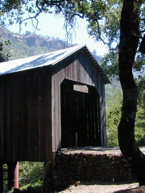
BELOVED BRIDGE
Located along Honey Run Road. Chico’s historic Honey Run bridge, was built in 1887, reconstructed in the late 60’s, and recently destroyed by wildfire in late 2018. Honey Run Road intersects w/ Centerville Road further up the canyon.
2020: Reconstruction on a new bridge is already underway.
Honey Run Covered Bridge Association
![]()
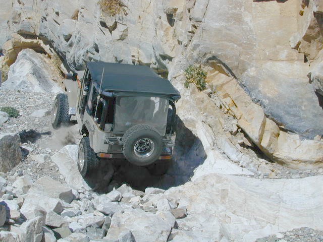
Centerville Road
Modoc County Rd #54
Southwest Alturas, CA
A major backroad (paved connector) in Modoc; connecting South Alturas @ US 395 to Canby @ Highway 299
a whole lotta nuthin’
Rural residential w/ farmlands and cattle grazing. California Pines (POA), Donovan Reservoir and the Pit River is along this route called Centerville. Portions of zoom on GoogleMaps has this Centerville Road listed as N West Street

Modoc National Wildlife Refuge is @ US Highway 395
![]()

Centerville, CA
Fresno Co
Rural, residential farm community along Highway 180
E of Fresno, CA
W of Sequoia & Kings Canyon National Park