Tag Archives: oak bottom

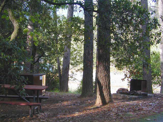
Oak Bottom Campground

Oakbottom Campground

Whiskeytown Recreation Area:
Oak Bottom Campground

Carr Fire 2018: some portions of this lake, shore, roads and trails may be closed due to the recent wildfire

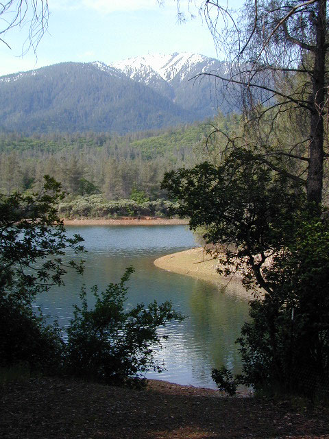
The large, level, paved campground is right on the north shore of Whiskeytown Lake, on Hwy 299 – E of Redding CA

hiker

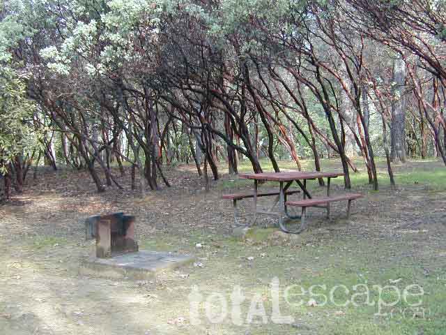
101 walk-in campsites
22 RV sites
elevation 1200′

  • boating
  • camping
  • hiking trails
  • kayaking
  • marina
  • mountain biking trails

Campground Reservation on NRA

Camp Sites near Water

Group Camping can be reserved at
Whiskey Creek Group Picnic Area
3 group camping sites with excellent views of the lake and mountains, on the northeastern shore of Whiskeytown Lake.

nearby towns:

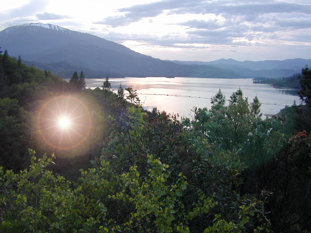
Views Westward

canoe

Lake Sunset Whiskeytown

And by golly, there is another

OAK BOTTOM CAMP in Northern California,
way over west near Marble Mountain Wilderness

camp

Salmon River @ Somes Bar:
Oak Bottom Campground NFS

elevation 700′
26 sites
No electricity, water or sewer hookups

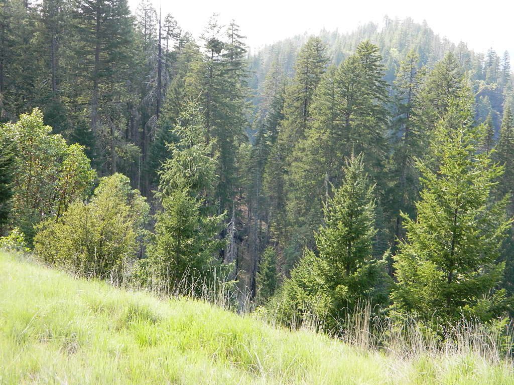
Six Rivers National Forest – Oak Bottom Campground loops around a forested hillside with large trees providing ample shading for multiple sites within the campground. A variety of wildlife makes its home in the area.

Located off the main highway, on a side road, with the epic Salmon River! This NFS campground is popular with whitewater enthusiasts in the spring. Rafters, kayakers. Many challenging rapids ranging from Class 3 to 5 are available. Swimming is also popular in the summer and numerous river access areas are a short drive or walk from the campground.

Trinity Alps Camping

Trinity Alps Wilderness Campgrounds

Northern California Camping
Shasta Trinity National Forest

Trinity Alps Wilderness

camp


  • backpacking
  • camping
  • fishing spots
  • floating
  • hiking
  • hunting
  • kayaking
  • mountain biking
  • off-roading
  • soaking
  • swimming holes
  • tubing
  • stargazing

trinitydetail

campgrounds near Trinity trailheads –

camping Highway 3
(California State Route 3):

  • Horse Flat Campground, near Eagle Creek trailhead
  • Eagle Creek Campground @ Hwy, near Stoddard Lake & Eagle Creek trailhead
  • Goldfield Campground, near Boulder Creek trailhead
  • Big Flat Campground (via Coffee Creek Road #104)
  • Preacher Meadow Campground @ Hwy, near Swift Creek trailhead

camping Highway 299
(California State Route 299):

  • Ripstein Campground, near Canyon Creek trailhead
  • Hobo Gulch Campground, on Road #34N07
  • Hayden Flat Campground, near Big French Creek & Green Mountain
  • Denny Campground, near Jim Jam Ridge, East Fork & New River; Way out west
  • Groves Prairie Campground, near Grizzly Camp trailheadtrinityalps_lg
  • Happy Camp Campground, near Grizzly Camp trailhead

camping Highway 96
(California State Route 96):

  • Tish Tang Campground, near Tish Tang trailhead
  • Box Campground, near Red Cap Lake, Bear Hole & Mill Creek Lake
  • Klamath Riverside Campground @ Hwy, near Salmon Summit

camping Salmon River (Cecilville Road #1C02):

trinitysign
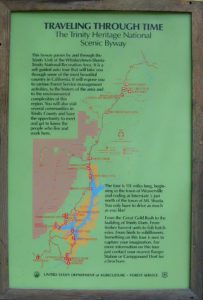
Trinity Scenic Byway (CA SR 3)

NorCal Topographic Maps – Trinity Map

Shasta Trinity National Forest Map

Pacific Crest Trail Map #6 (Shasta Cascades)

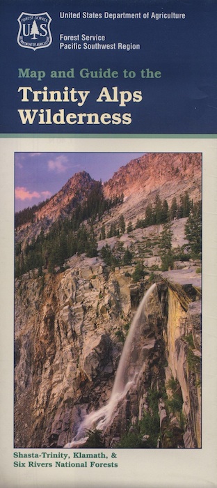
Trinity Alps Wilderness Map

outdoor destinations also nearby –


View Larger Map