Tag Archives: salmon river

Trinity Alps Wilderness

NorCal Mountains – Trinity Alps Wilderness

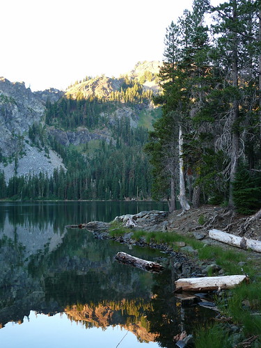
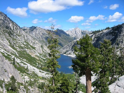
Sapphire Lake -- Suicide Ridge -- Trinity Alps

525,627 acres

North of Weaverville & Lewiston, about 10 miles
West of Trinity Lake & Redding, CA
Headwaters of the Trinity River & the Salmon River

Shasta-Trinity National Forest

Thompson Peak – 9002′ elevation
Trinity Mountain – 6094′
Granite Peak – 8091′

Trinity is NorCal’s jewel of alpine lakes and granite peaks – many above 8000′ elevation, about 40 miles inland from the ocean. Trinity is located in between the infamous redwood coast and the I-5 corridor. Rivers, creeks, lakes, and trails into the high elevations regions, bqckpackers and equestrian campers alike.
trinityalps_lgHiking trailheads are accessed from all sides -On the east side you have Trinity Lake & Trinity River w/ Highway 3 running lengthwise in a north-south direction. Hwy 299 runs east-west along the south side of the wilderness. Klamath River Hwy 96 lies on the west side of the wilderness. Salmon River, Scott Mountains and Cecilville are north of the alps.

Both the small Russian Wilderness & the larger Marble Mountain Wilderness are located to the north of Trinity Alps, along with rural towns near the Scott Mountains and the Salmon River. Castle Crags Wilderness is to the eastern side, near Interstate 5.

towns nearby –

camp

Campgrounds near Trinity Alps Wilderness

hike

Trinity Alps Trailheads

lake

Waterfalls & Lakes near Trinity

NFS


View Larger Map

The mountainous area is quite unique, as exposed granite mountain peaks and alpine lakes are pretty rare in the coastal Cascade ranges. The only other spot in California that has an 8000′ peak nearing the coast is just north of Los Angeles – Los Padres’s Mount Abel & Mount Pinos peaks, both over 8000′ in elevation.

TRINITY ALPS TOPO MAP

camp

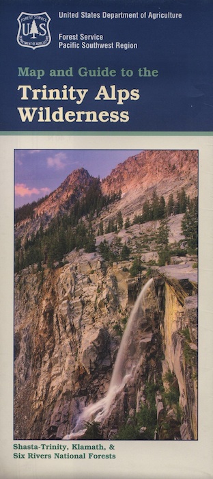
The USDA map for Trinity Alps Wilderness was outta print for nearly 2 years and it has recently been updated and reprinted. New edition released in 2013 and now available at the Total Escape map store. Printed on waterproof map paper and updated in 2012.

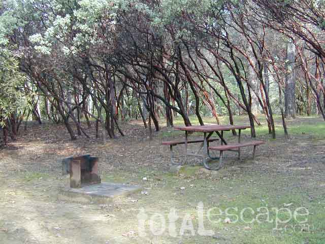
Oak Bottom Campground

Oakbottom Campground

Whiskeytown Recreation Area:
Oak Bottom Campground

Carr Fire 2018: some portions of this lake, shore, roads and trails may be closed due to the recent wildfire

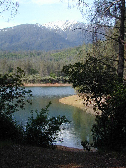
The large, level, paved campground is right on the north shore of Whiskeytown Lake, on Hwy 299 – E of Redding CA

hiker

101 walk-in campsites
22 RV sites
elevation 1200′

  • boating
  • camping
  • hiking trails
  • kayaking
  • marina
  • mountain biking trails

Campground Reservation on NRA

Camp Sites near Water

Group Camping can be reserved at
Whiskey Creek Group Picnic Area
3 group camping sites with excellent views of the lake and mountains, on the northeastern shore of Whiskeytown Lake.

nearby towns:

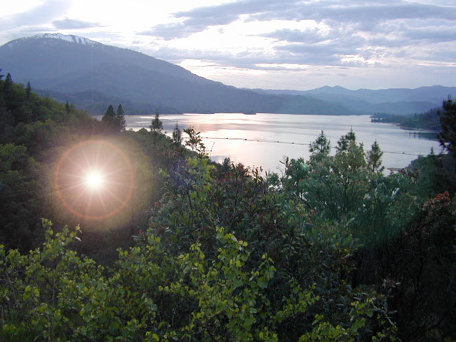
Views Westward

canoe

Lake Sunset Whiskeytown

And by golly, there is another

OAK BOTTOM CAMP in Northern California,
way over west near Marble Mountain Wilderness

camp

Salmon River @ Somes Bar:
Oak Bottom Campground NFS

elevation 700′
26 sites
No electricity, water or sewer hookups

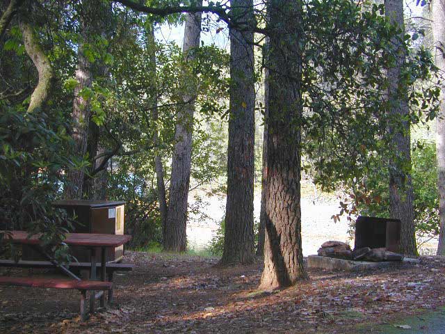
Six Rivers National Forest – Oak Bottom Campground loops around a forested hillside with large trees providing ample shading for multiple sites within the campground. A variety of wildlife makes its home in the area.

Located off the main highway, on a side road, with the epic Salmon River! This NFS campground is popular with whitewater enthusiasts in the spring. Rafters, kayakers. Many challenging rapids ranging from Class 3 to 5 are available. Swimming is also popular in the summer and numerous river access areas are a short drive or walk from the campground.

Marble Mountain Wilderness

Marble Mountain Wilderness
Northern California

241,744 acres

Klamath River
Klamath National Forest

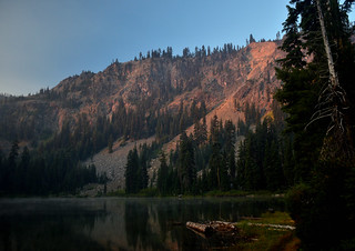
Craggy granite peaks, abundant meadows, big streams, w/ 89 lakes are the main highlights of this wild land area in Northern California.

Marble Mountain itself, a stark, red-and-gray marbled peak. Most of the peaks exceed 6,000 feet in height, with Boulder Peak being the highest at 8299 feet. Long recognized for its wild value, this region became a Primitive area in 1931, a Wilderness in 1953, and a part of the NWPS in 1964. Numerous trails provide excellent and extensive access to the Wilderness, and human use is rated as moderate.

Majority of the lakes are tranquil gems set in rocky settings. At least one-third of the wilderness is cloaked in a great variety of trees, dominated by Tanbark oak, madrone, and Douglas fir populate lower elevations, with whitebark pine, foxtail pine, and mountain hemlock higher up in altitude.

pct

Alpine meadows and bare rock in the highest elevations. Bear, deer, and many other species of wildlife are plentiful.  The Pacific Crest Trail crosses the entire Wilderness for 32 miles north-south, and accesses many other trails. Most of the trails offer relatively easy travel for people and horses, and excellent campsites are to be had along the way. Nearby guest ranches offer pack trips and accommodations during summer season.

NorCal weather = Rain and snow is common for more than half the year, so winter access could be muddy, snowy, rainy, windy and cold. Kayakers, anglers and hunters may not mind the inclement weather, but most of the hikers, backpackers and horse like the warmer months.

Marble Mountain Wilderness USDA link

NFSlogoSalmon & Scott Rivers Ranger District
Fort Jones, CA
530-468-5351

hiker

nearest towns –


Cliff Lake Backpacking Trip, Marble Mountain Wilderness, California, Aug 2007

Sky High Basin 05

Summit Lake


Marble Mountains

Trinity Alps Trailheads

Trinity Alps Wilderness Trailheads
NorCal Hiking Vacations

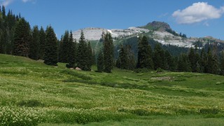
Meadow on Trinity Alps Long Canyon Trail

Northern California, Trinity Lakes
Shasta Trinity National Forest

  • backpacking
  • camping
  • fishing lakes
  • hiking trails
  • horseback trails
  • waterfalls

Trinity Alps Wilderness

hike


Trinity Wilderness trailhead locations –

trailheads from Highway 3:

  • Scott Mountain (PCT access)
  • Bear Creek
  • Eagle Creek
  • Stoddard Lake
  • Boulder Creek
  • Big Flat
  • Swift Creektrinityalps_lg

trailheads from Highway 299:

  • Canyon Creek
  • Hobo Gulch
  • French Creek
  • Green Mountain
  • Jim Jam Ridge
  • East Fork
  • New River
  • Grizzly Camp

trailheads from Highway 96:

  • Tish Tang
  • Red Cap Lake
  • Bear Hole
  • Mill Creek Lake
  • Salmon Summit

trailheads from north @ Salmon River, Cecilville Rd #1C02:

  • Hidden Horse
  • Trail Creek
  • Carter Meadows Summit (PCT access)
  • Middle Boulder

Trinity Alps Wilderness Trail
Overview @ SummitPost