Tag Archives: snow

American River California

american 1

American River, Central Sierra Nevada

Donner Pass – Gold Country California
El Dorado National Forest
Folsom Lake, Sacramento, CA

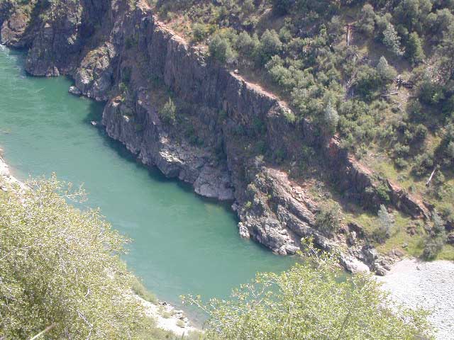
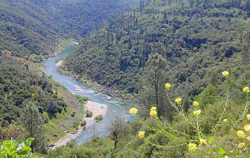
This is a major river in the Sierra Nevada landscape, as well as in the Gold Rush history of California. Many mining camps, railways, old abandon mines, dirt roads, hiking trails, mountain biking routes, waterfalls and even ancient artifacts can be found on the back roads. The native tribes once heavily populated these river canyons since the location is ideal, half way between the big mountains and the sunny warm valley.

snowNorth fork of American River drains most of the Donner Pass region, all along Interstate 80. Indian Creek is a feeder stream coming from Sugar Pine Reservoir. No large reservoirs exist along this American North Fork, although there is a wide section of the river, above Auburn, called the North Fork Lake.

Middle fork of American River comes down from the Granite Cheif Wilderness, next to Lake Tahoe; Foresthill (3225′ elev) is a small mountain community w/ a ranger station; French Meadows Reservoir is way back in there, toward the highest peaks @ 9000′ elevation.

South fork of American River parallels the State Highway 50, which connects Placerville to Lake Tahoe via the Kyburz Pass. Union Valley Reservoir and Ice House Reservoir make up this part of the drainage for abundant snow melt.

The north and middle flows of this river join in Auburn, near the freway @ I-80. The south fork joins the rest downhill in the Central Valley, at Folsom Lake, NW of Sacramento, CA

rapids: turbulent, fast moving water

canoe

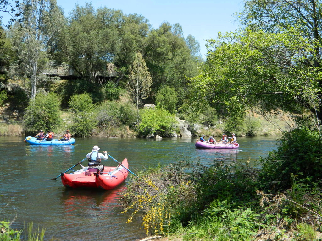
River Rafting on the American River

This is a rapid moving river, with serious force. Not to be taken lightly. Wear life vest and stay alive; Don’t swim in dangerous conditions and spare your life!

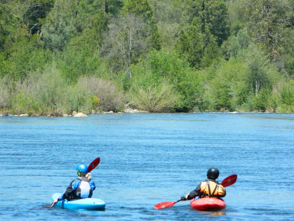
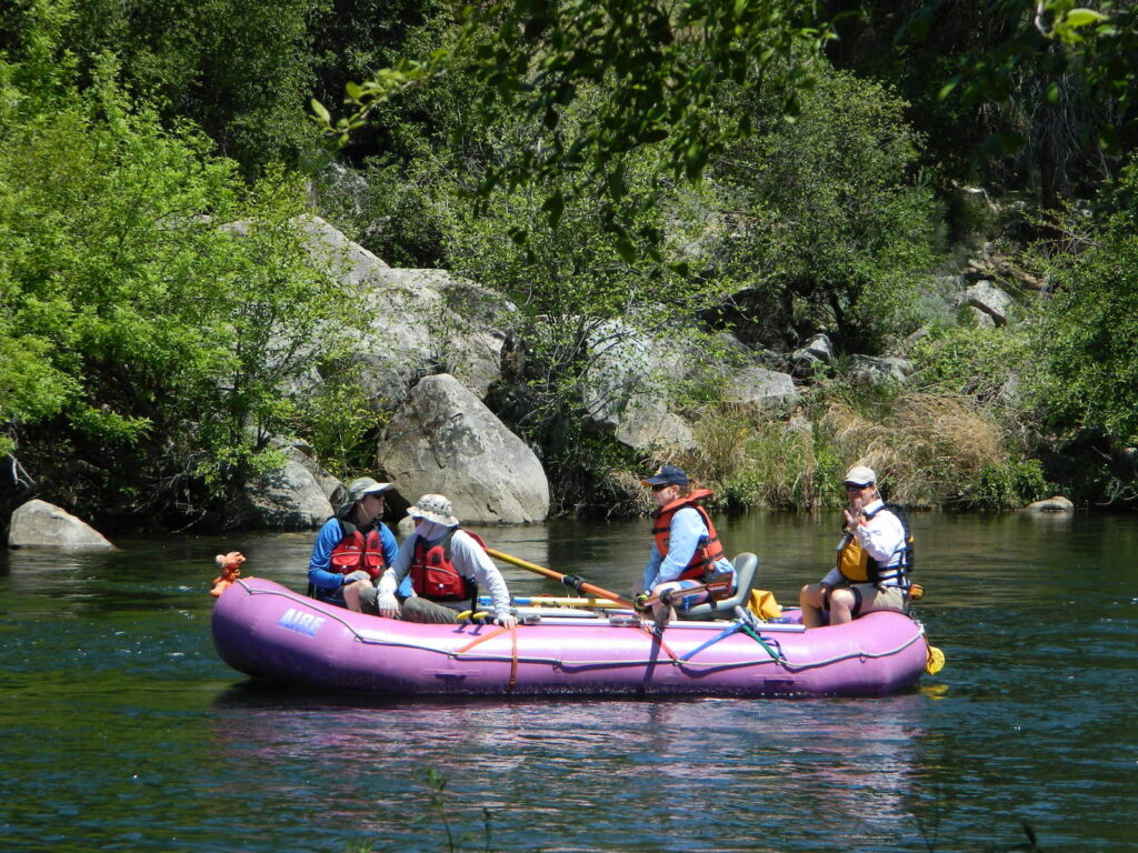
Go whitewater river rafting with experienced leaders, who offer professional guide rafting tours. Always wear a life vest in the water. Toying around with an inflatable cheap raft on a big river, can leads to all kinds of trouble.
rafting

American River south fork James W. Marshall discovered gold in January of 1848 on the South Fork of the American River

  • backpackfish
  • camp
  • fish
  • hike
  • kayak
  • mountain bike
  • museums
  • off-road
  • raft
  • swim

Numerous feeder creeks and rivers drain into American River:

  • Indian Creek
  • Owl Creek
  • Pilot Creek
  • Rubicon River
  • Secret Ravine
  • Silver Creek (flows to south fork)
  • Silver Fork of the American River (flows to north fork)

camp

Camping & Campgrounds on the American River

south fork (CA Hwy 49 & US Hwy 50)

middle fork (CA Hwy 49)

north fork (CA Hwy 49 & I-80)

hiker

americanriverabove

Auburn Lodging near the American River with numerous unique overnight options closeby. Colfax, the rail-town up the interstate, also has small motels and inns, most are freeway close. Foresthill is a residential area near the Middle Fork of the American River. Placerville, on the South Fork has more hotel choices. See more on Historic Gold Country


rafters

Towns along American River:

kayaking


Snow Towns in California

snow towns

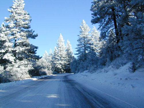
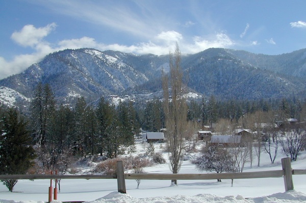
People visit higher elevation towns & parks just to hang out in the snow. Ski resorts are plentiful, but not every snowy town has a ski lift. They may just have a great sledding hill or a big meadow to cross country ski.

Elevations range from 4000′-9000′ above sea level.

Most California snow locations have a wide variety of outdoor recreation, lodging, restaurants, shops. Cute cabins to rent for that upcoming weekend get-away. Or that week-long fishing trip. But with millions people in the state you better make overnight reservations in advance.
snow
California WINTERS:
When does winter actually ‘set in’ for California?

eastern sierra: OCT- APR
western sierra: NOV- APR
high sierra: OCT- MAY
northern coast: OCT- MAY
northeast: OCT- APR

snow

Winter Recreation in California

winter road conditions
California Road Conditions

CALIFORNIA SNO-PARKS: Locations listed below with California State Snow Parks nearby, are listed in bold.

sledding

SoCal Snow

While Southern California doesn’t receive nearly the amount of snow that the rest of the state gets, it does on occasion get some winter storm precipitation. Perhaps just a winter dusting, or maybe a few inches, but sledding families usually enjoy it. For real snow skiing opportunities, head to the Sierras!

Angeles National Forest
Angelus Oaks
Big Bear City
Big Bear Lake
Cleveland National Forest
Fawnskin
Frazier Park
Idyllwild
Julian
Laguna Mountain
Lake Arrowhead
Los Padres National Forest
Palomar Mountain
Pine Cove
Pine Mountain
Ramona
Running Springs
San Bernardino National Forest
Sky Forest
Twin Peaks
Wrightwood

huntington lake

Sierra Nevada Snow

Arnold
Aspendell
Avery
Bear Valley
Blairsden
Blue Lakes
Bridgeport
Calaveras Big Trees State Park
Camp Nelson
Convict Lake
Dorrington
Downieville
El Dorado National Forest
Fish Camp
Hume Lake
Huntington Lake
Inyo National Forest
Kirkwood
June Lake
Lakeshore
Lake Tahoe
Mammoth Lakes
Markleeville
Norden
Pinecrest
Plumas National Forest
Ponderosa
Rock Creek Canyon
Sequoia National Park
Shaver Lake
Sierra City
Sierra National Forest
Sierra Nevada Mountains
Stanislaus National Forest
Tahoe National Forest
Tahoe City
Tahoe Vista
Tahoma
Toiyabe National Forest
Tom’s Place
Truckee
Twain Harte
Twin Lakes
Yosemite
Yosemite National Park

sierrasnowbelt
Sierra Snowbelt

snowmo

NorCal Snow

Blairsden
Bucks Lake
Burney
Butte Meadows
Cedarville
Chester
Childs Meadow
Etna
Fall River Mills
Fort Jones
Gold Lake
Graeagle
Greenville
Happy Camp
Inskip
Klamath National Forest
Lake Almanor
Lassen National Forest
Lassen Volcanic National Park
McCloud
Mill Creek
Mineral
Mount Shasta
Portola
Quincy
Shasta Trinity National Forest
Shingletown
Six Rivers National Forest
Soda Springs
South Lake Tahoe
Trinity Center
Trinity Lake
Westwood

snow towns california

Virginia Lakes California

lakeshore in autumn

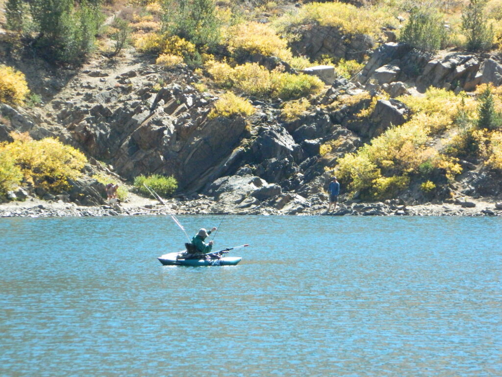
fishing by float tube
A top high elevation fishing destination in the Eastern Sierra, California

Eastern Sierra Lakes – US Hwy 395

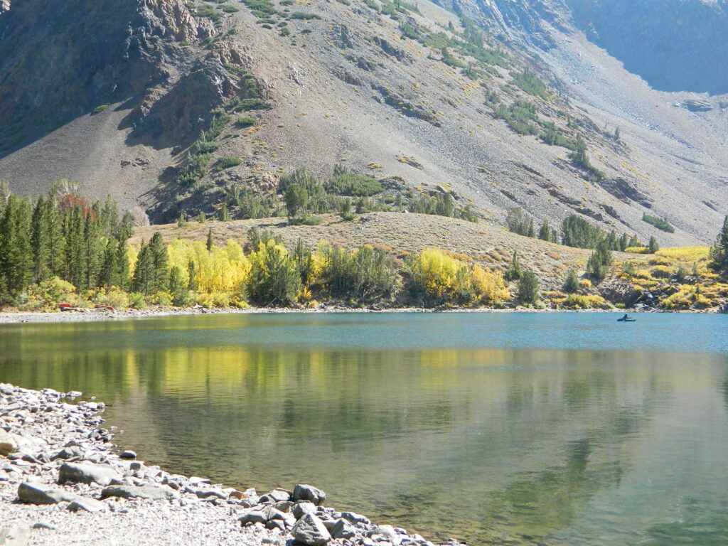
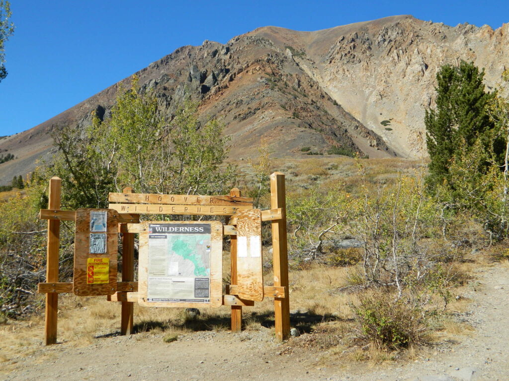
A grouping of small lakes on the Eastern slopes of the Sierra Nevada mountains near Bridgeport, California. Camping & fishing are the main attractions here, along with a high elevation trailhead. Awesome back country access for the backpackers who love hiking the Hoover Mountain Wilderness.
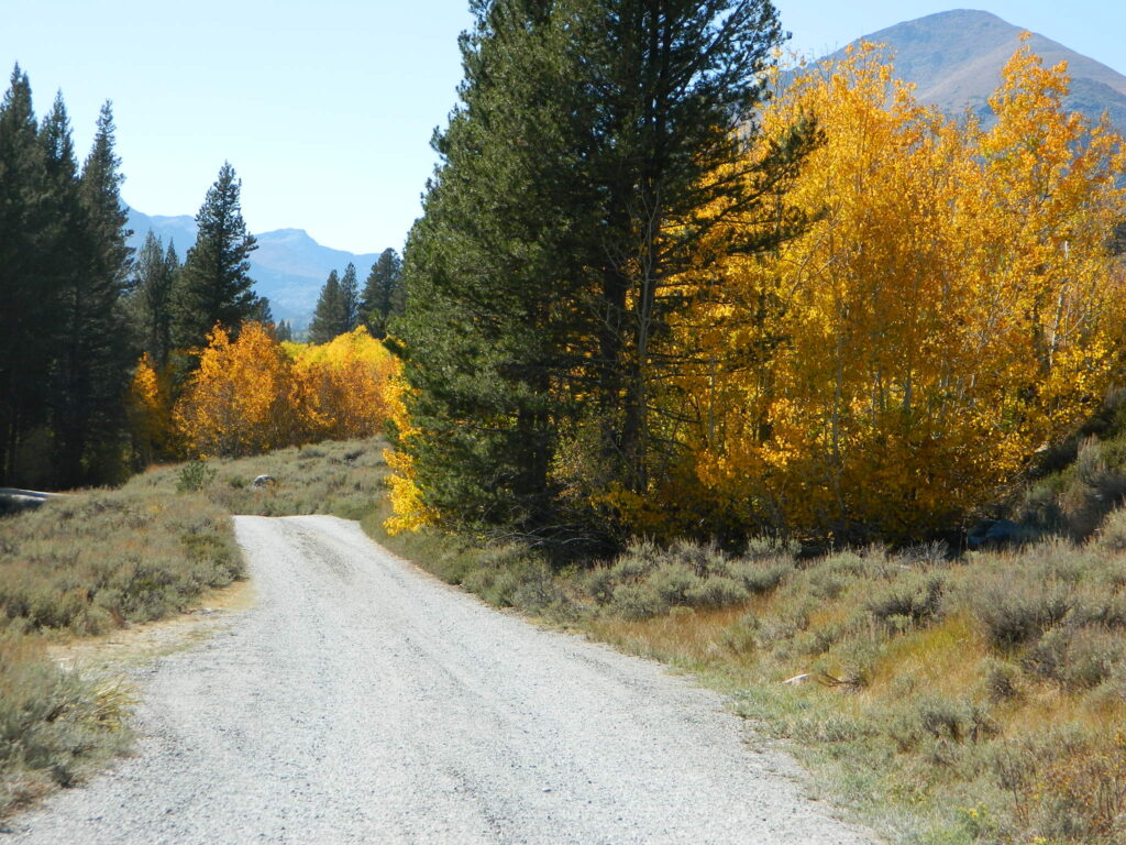
Aspen trees turn golden colors as freezing temps lower in Autumn, and can be breathtaking in October. Sometimes the window of opportunity is very short, as the first snow of the season usually falls at the same time of year.
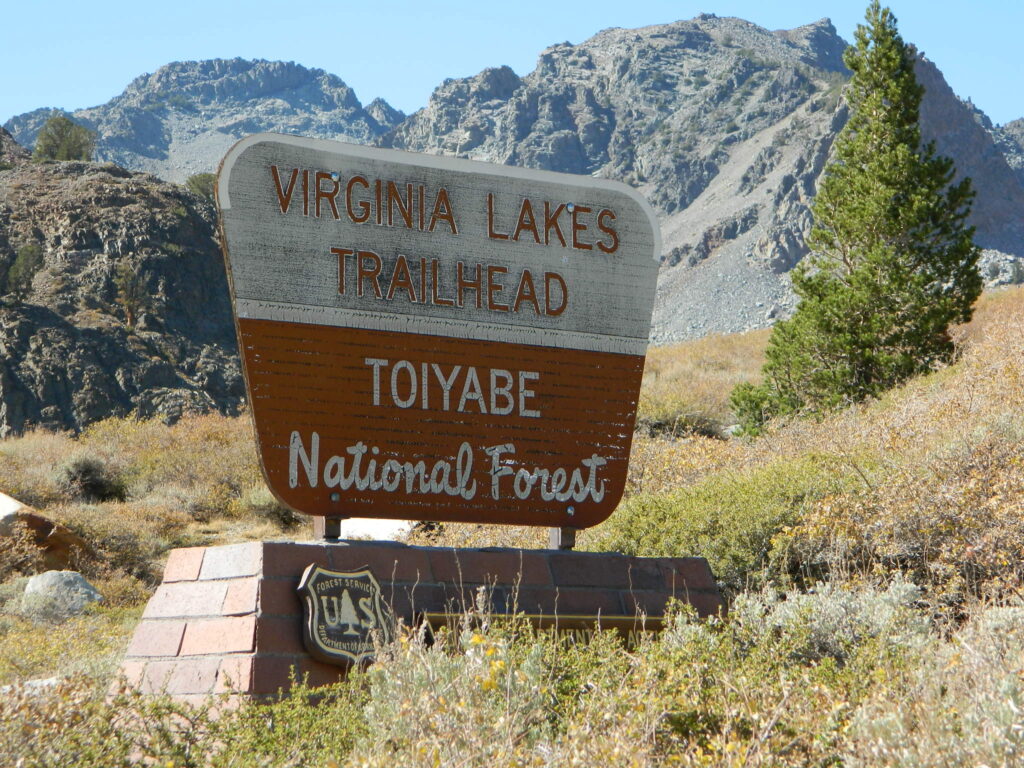
Virginia Lakes Trailhead

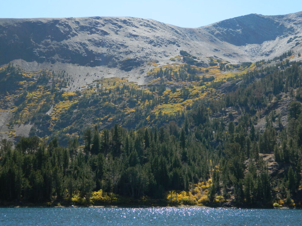
mountain lakes next to tall granite peaks, inside Toiyabe National Forest, Eastern Sierra, right off US Hwy 395.

fish

location:
Eastern Sierra California
Mono County
W off US Hwy 395
on Virginia Lakes Road
Just south of Bridgeport, CA

elevation: 9500′

inside this Eastern Sierra canyon:

Virginia Creek
Trumbull Lake
Virginia Lake
Blue Lake
Red Lake
Cooney Lake
Moat Lake
Frog Lakes
Burro Lake

Virginia Lakes Trailhead

Virginia Lakes Road (snow may close in winter)
Virginia Creek Rd #32139
Dunderberg Road #020

snow

trailhead
Hoover Wilderness hiking trails and trailhead

area activities:

camp

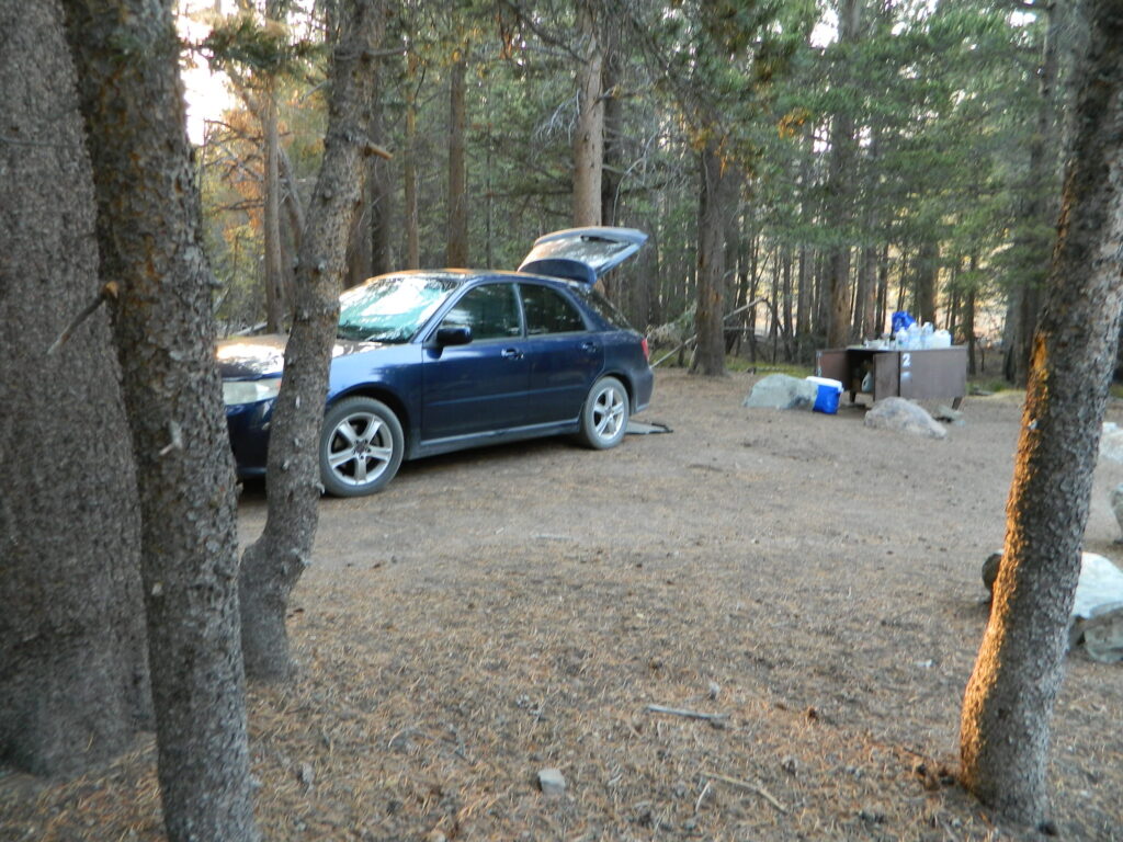
Eastern Sierra Camping:
Lake Campgrounds, Primitive Camping,
Dispersed Creek Camp Sites

freecamp139
BOONDOCKING: free camping on dirt road #139
road 139
Dirt Road parallels the paved road on the south side.

canoe

nearby towns:

Bodie Ghost Town
Bridgeport
Lee Vining
Twin Lake

wilderness trail maps:

virginia lake aspens
Autumn colors with aspen groves above 9000′ elevation

San Joaquin River California

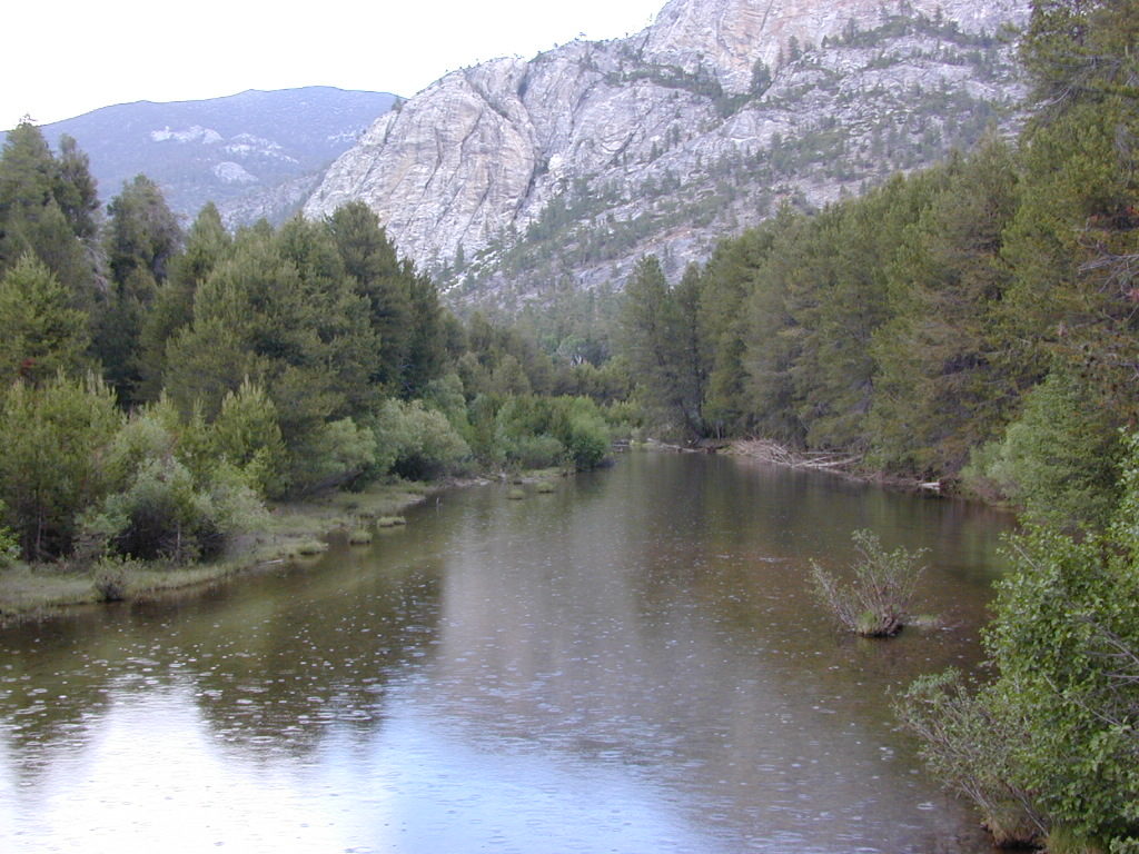
Light Rain on San Joaquin

San Joaquin River, Sierra Nevada

Edison Lake, Florence Lake, Shaver Lake, Huntington Lake
Kaiser Wilderness, Sierra National Forest

2021 – MUCH OF THIS RIVER may be INACCESSIBLE,
due to the Creek Fire 2020

The San Joaquin watershed begins way up in the High Sierra, Ansel Adams Wilderness to be exact. Eastern Sierra ranges, up behind Mammoth Mountain peaks called The Minarets, the snow drains westward. Far from the San Joaquin Valley, way above Fresno, CA

Green Bridge San Joaquin
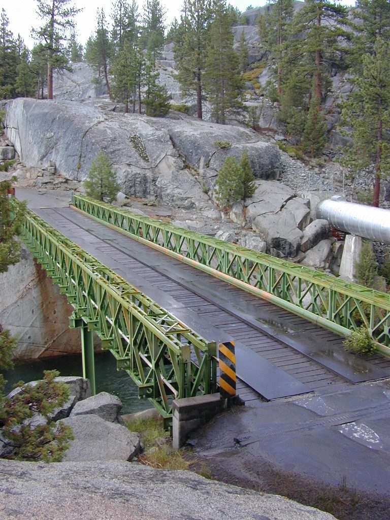
Green Metal Bridge @ San Joaquin River

Sierra National Forest Map USDA

  • backpack
  • camp
  • canoe
  • fish
  • hike
  • horseback
  • hot springs
  • kayak
  • mountain bike
  • off-road
  • picnic
  • snow-mobile
  • stargaze
  • waterfalls
  • wildflowers
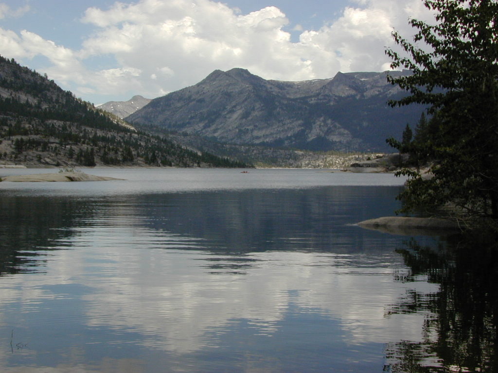
Florence Lake
Florence Lake

Sierra Forest Road #80 is Kaiser Pass Rd. Starting next to China Peak Ski Resort (formerly Sierra Summit) Take the right turn, near Huntington Lake. Kaiser Pass Road is a paved back country road climbing steeply up into the high country.

Sierra Nevada / Central California

Forests along San Joaquin River:pinetree

Sierra National Forest
Dinkey Lakes Wilderness
Kaiser Wilderness
Ansel Adams Wilderness
John Muir Wilderness

Lakes & Hot Springs along San Joaquin River:boatramp

Florence Lake
Ward Lake
Edison Lake
Mammoth Pool Reservoir
Mono Hot Springs
Redinger Lake
Kerckhoff Lake
Milleron Lake SRA

Campgrounds along San Joaquin River:camp

(Florence Lake)
Jackass Meadow Campground
Ward Lake Campground

Mono Hot Springs Campground

(Edison Lake)
Mono Creek Campground
Vermillion Campground

(Kerckhoff Lake)
Smalley Cove Campground

Mammoth Pool Campground
Sweetwater Campground
Rock Creek Campground
Redinger Campground

Milleron Lake State Recreation Area

Towns near San Joaquin River:ranger

Bass Lake, CA
Fresno, CA
Clovis, CA
North Fork, CA
Shaver Lake, CA
Huntington Lake, CA
Friant, CA
Auberry, CA
Prather, CA
Alder Springs, CA

USFS

Sierra National Forest Headquarters
1600 Tollhouse Road
Clovis, CA 93611
559-297-0706

snowtree2
Serious, big snow country

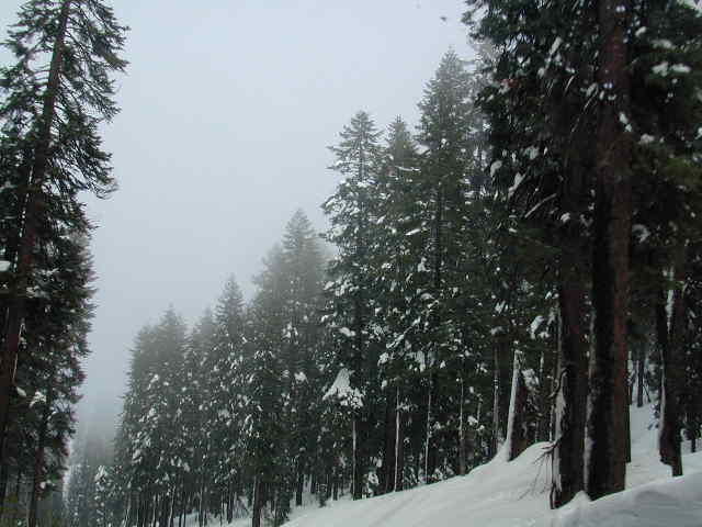
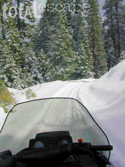
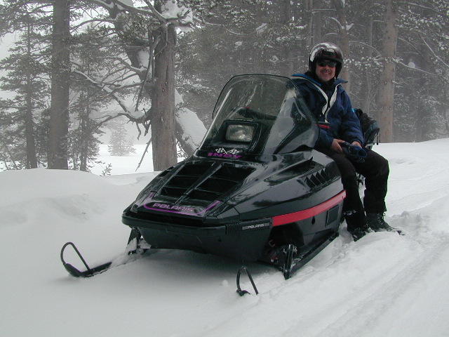
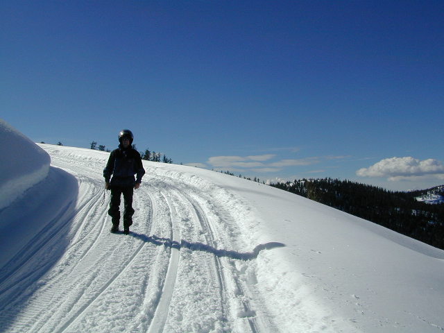
snowWINTER ACCESS: Kaiser Pass is one of the few areas to enjoy snowmobiling trails and hot spring soaking. The distance to the springs is about 25 miles, one way and requires either cross country skis, snow shoes or snow mobile to reach.
windshldview
Snow Mobile Trails (January-April)
Rentals @ Rancheria
Rentals @ Rancheria

snowmoSNO MO RENTALS: Snow depth is usually best after the first of the year and last through April. The round trip hot springs (self-guided) excursion can be done w/ a half day rental, but only if you follow some guidelines: Reserve machine @ Rancheria Enterprises, way ahead of time;  Pack a lunch and snacks. Arrive early, gear up, get instructions and have a topo map; Be on the trail and traveling, not stopping on side routes, or play in the meadow or sightsee.

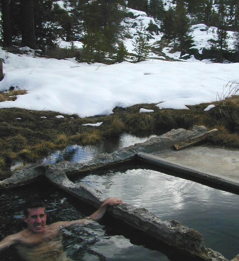
Narrow route continues on passing the meadow and goes for many miles. Trail traverses some steep terrain, with curves and cliffs, especially coming down hill to the river & green metal bridge. Parking spot is before bridge on left side. Hike a short distance, across marshy hillside to reach the 2 primitive hot tubs.

pano5
Panoramic Views
pools
Hot tubs @ Mono Hot Springs, 2001
SJoaqriver
River, right next to hot springs.

hiker

Sierra National Forest Map USDA
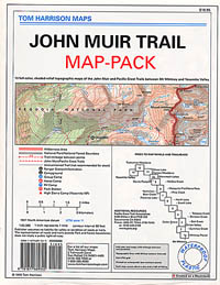
john muir maps
John Muir Trail Maps
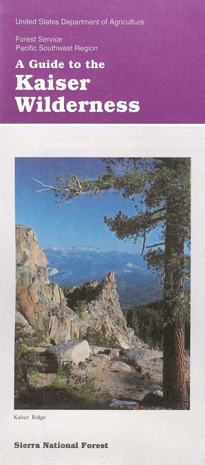
kaiser
Kaiser Wilderness Map


Destination Unknown

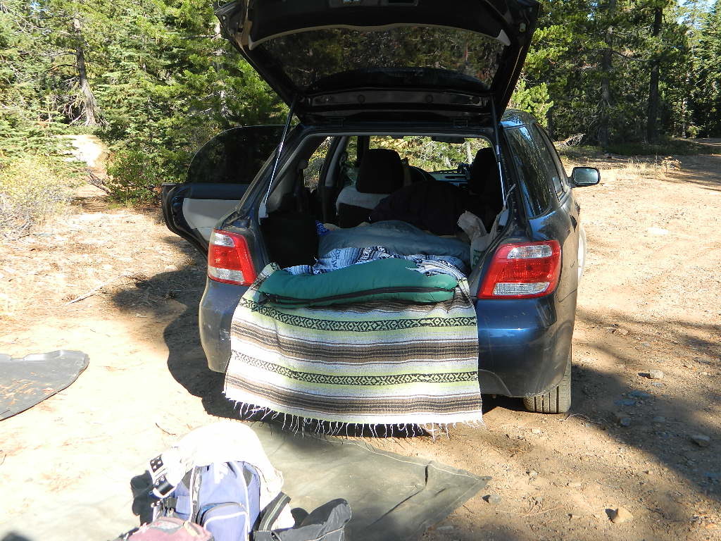
Tent less
Tent-less Car Camping

exploring California – on a budget

destinations
Don’t have any ideas on WHERE you want to go? Never heard of that little town? Follow our links below to explore a variety of California hidden secrets.

This whole web site is dedicated to finding new places to visit within California. Cheap, free, inexpensive options. We concentrate on the back roads, rural areas and park lands. More space, more nature, less people.

California Escapes

Coastal
Mountain
Country
Desert
City

yourfacehere

Budget weekends, outdoor trips, hiking and camping, SUV road trips and much more; all, off the beaten path. Total Escape has California covered.

Explore the Backroads
Find Ghost Towns
Romantic Get-Aways
Seasonal Camping
Snow Weekends
Soak in Hot Springs
Spring Wild Flowers
SUV Vacations
Various Sample Trips
Take the Train

smalltownCA

campfireCar Camping is FREE on the back roads of California. Primitive camping requires that you be a self-sufficient campers, obtain a free camp fire permit, have a shovel, bucket and water at camp to extinguish fire.
back roads in cali

DanaMite has an extensive list of forest roads in California. Guide to the backwoods: find photos, map links, wilderness trailheads, best places to look for a camp. Look on USDA USFS National Forest web sites for Dispersed Camping Areas, also called Open Camping or Primitive Camping. Buy a printed map and then go explore.

worth1000

wildatheart

Panamint City California

panahills
Photo Credit © Lttlbddy Steve Gardiner

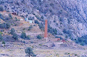
Panamint City, a super remote mining camp on the edge of Death Valley National Park

elevation: 7300′

(Not to be confused w/ Panamint Springs, CA which is NW, along the main Highway 190 on the west side of DVNPhiker

Panamint Valley, Death Valley NP
Inyo County, NE of Ridgecrest
East of Hwy 395, south of Hwy 190

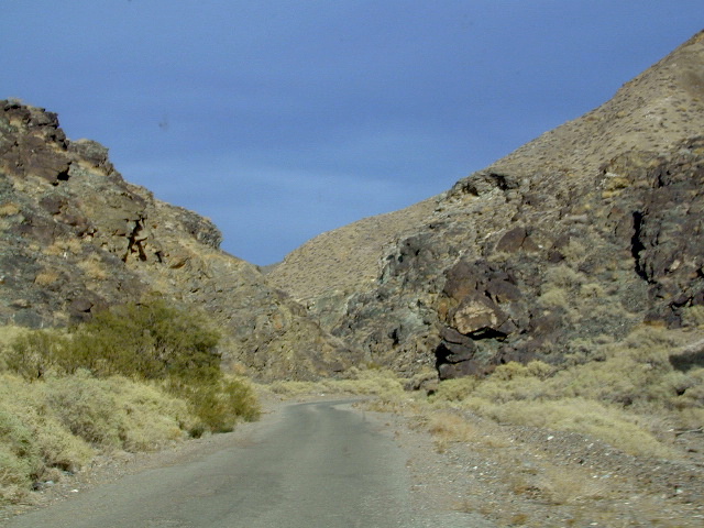
Hard to reach ghost town / abandoned mining camp on the mountainous edge of Death Valley National Park. Access via dirt road and steep trail,  off the paved Trona Wildrose Road. Panamint Valley, west of Death Valley

best time to visit: November – April
Triple digit heat is common in the warmer months, so spring, autumn and winter time is best for this region, but beware of winter storms.snow

Snow is common on  the peaks, and at higher elevations (like this place) during winter (DEC-APRIL). If you see trees on the terrain – joshua trees or pinyon pines, that indicates that snow falls here often enough. Snow is possible around Death Valley, down to 3000′ elev. during coldest of winter storms.

Surprise Canyon Wilderness BLM – Desert mountains, steep rocky terrain w/ peaks and very few trees. Surprise Canyon can become a waterfall, during heavy desert rains. The canyon is the  only access up to reach this hidden town4x4

NO MORE 4×4
Hike or backpack up Surprise Canyon
No longer 4WD accessible .Gotta hike it on foot now. So get that fat ass outta the rig for some elevated heart rate (real exercise).

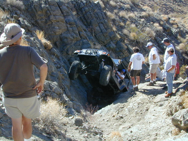
This desert destination used to be a very popular off-road trail, where Jeeps would wench and crawl up the narrow, rocky passage; but all that changed with a wilderness designation (1994)  and no longer are machines allowed in this specific canyon area. No vehicles (engines) and no mountain bikes. No wheeled anything.

Off-roading and free-wheelin is still allowed and abundant in neighboring canyons of Nadeau Road & Panamint Valley – Pleasant Canyon, South Park Canyon, Jailhouse Canyon, Goler Wash, Isham Canyon

stack
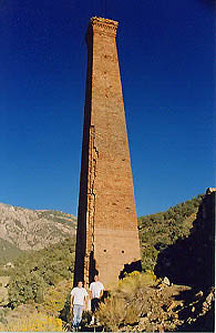
Smoke stack has collapsed in the recent past, so this structure is no longer standing. Photo Credit © Lttlbddy Steve Gardiner

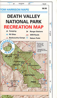
DVNP Topo Map

area activities & links:

  • lookinN
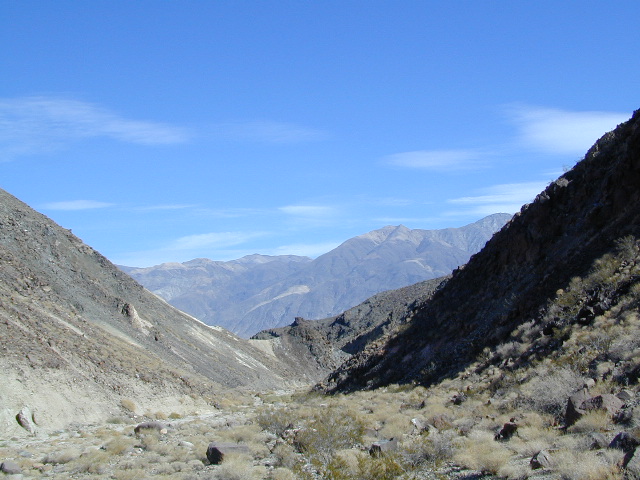
    Looking north in a neighboring canyon

    Campgrounds nearby –

    Ballarat ghost town has a camper bathroom w/ showers and a fee to go along with that. Panamint Springs has a small motel and a big restaurant, plus a large campground (across the highway) which can accommodate tents, camper trailers and RVs.

    campDeath Valley National Park boundary means developed campgrounds are a few miles away up Wildrose Canyon.


  • Primitive Camping around Panamint Valley

    Boon-docking, dispersed, FREE, open camping is allowed almost anywhere in Panamint Valley and the neighboring desert canyons. Campfire permits are required and are available at BLM office in Ridgecrest. There is no firewood, nor wood collecting around these parts, so bring your own.

    camptruck

    Nadeau Road has abundant flat spots for RVs; Well stocked 4x4s can find secluded camping further up the canyons, but must be a self-sufficient camper and bring water, plenty of ice, extra gasoline, food and firewood.

    More Mining Camps & towns nearby:check

    Ballarat, CA
    Pleasant Canyon
    Randsburg, CA
    Skidoo, DVNP
    Tucki Mine, DVNP

    wildrosedrive
    Wildrose Canyon Road, DVNP

    lodging nearby – lodge

    Locating a ‘real bed’ near this remote desert region will require some driving. The closest option in Panamint Springs, which only has a few rooms. The next closest, would be Stovepipe Wells inside the National Park.

    mike_up5
    This is the kinda wheeling craziness that goes on in other canyons nearby.
    bestnite
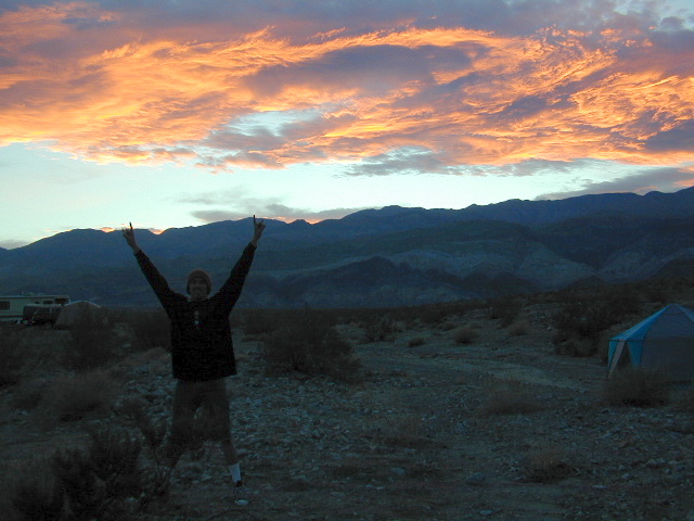
    Leon from San Diego enjoys a spontaneous vacation.

    Camping in Panamint Valley is best in cooler months.  NOTE: Triple digit heat in summer!