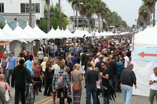
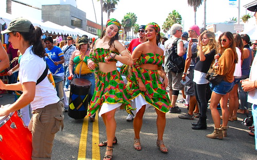
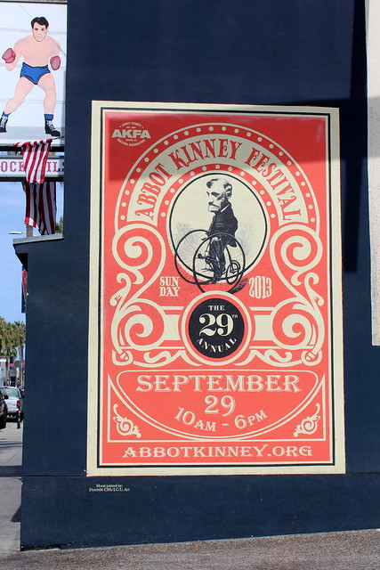
35 years running, held each year on Abbot Kinney Boulevard, in between Main Street and Venice Boulevard. Promotes the vibrant creativity that makes the funky community of Venice Beach so unique. The long running street festival is best known for an array of local artisan crafts, live music, DJs, good food and entertainment. Activities and areas are designed to complement the eclectic, cutting-edge mix of over 100 boutiques, art galleries, restaurants, bookstores, design firms, coffee shops, clubs, salons, and much more along the famed bohemian-chic shopping district of Abbot Kinney Blvd.
Annual event; September
One day event
310-570-7059
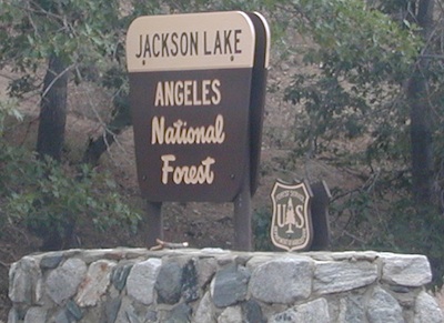
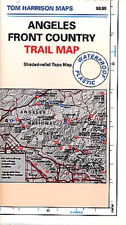
Los Angeles Hikes, Angeles National Forest, Angeles Crest, Baldy, Wrightwood, Palmdale, Tujunga, Frazier, and Malibu Coast
You relocated to California for college or your career – and to enjoy the outdoors more, but you ended up in the Los Angeles Basin instead, breathing smog daily. You will need to escape – soon, for sanity sake.
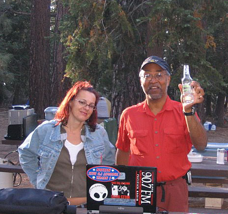
Total Escape – this is your new favorite web site on California outdoors. Bookmark it dude. And be proud to love nature!
PCT hikes – Pacific Crest Trail
The world renowned hiking trail that runs the entire length of the entire West Coast US. Canada to Baja, by way of Washington, Oregon and California – all on foot.
And when you finally get bored with hiking only in Southern California, there’s a whole lot more California to explore – up state!
NORCAL – Well beyond San Francisco and Yosemite, there are meadows to be found. Seclusion and tranquility in nature, without the crowds. Too many dirt roads to drive and dozens of rivers to see. Waterfalls abound, with wildflowers and amazing scenery all around. Small towns to discover!
Fly fishing rivers, kayaking lakes, wineries, organic farms, geysers, volcanoes, caves, old bridges and so much more to find in NorCal.
DanaMite loves to cover the real nooks and crannies of California, just for you – right here on Total Escape.
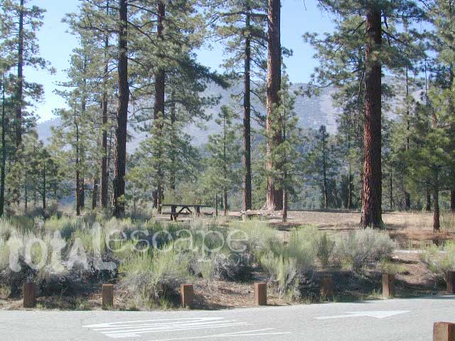
San Bernardino National Forest: Heart Bar Campground
At Hwy 38 & Forest Road #1N02 is a huge, pine forested valley, right next to San Gorgonio Wilderness. Heartbar Campground, Heart Bar Horse Camps, RV Dispersed Sites. Highway 38 – SE of Big Bear Lake, California; Mountain Bike, Hiking & Equestrian Trails with ridges of 10,000′ elevation. SAN GORGONIO peak nearby. Best high elevation scenery for SoCal by far.
backpacking
camping
fishing
hiking
mountain biking
mountain peaks
waterfalls
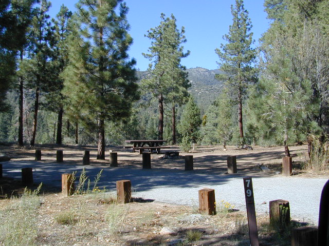
Primitive Camps on the Back Road #1N02
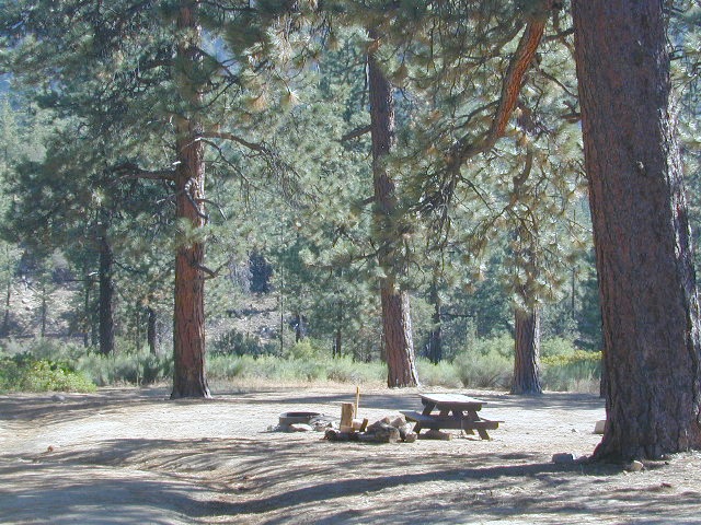
Heart Bar Campground
Big Bear Forest – HEART BAR
This gorgeous valley is a developed recreation area w/ 89 camp sites, plus big equestrian area. Picnic, hiking, mountain biking, horseback trails, plenty RV spots, even a creek. (Oooops I meant the Santa Ana River) Highway 38 is kinda the long way into Big Bear Lake, up thru Angelus Oaks. Locals call this stretch of the highway Barton Flats.
Bring the Horses & RVs
Group Campground facilities
Barton Flats – San Gorgonio Recreation Area
Leading out the back way of HeartBar, past the horse camp – is a nice one lane dirt road, narrow in spots, with random, primitive camp sites along the roadway. Authorities refer to these spots as yellow post camp sites.
This backcountry route is marked as Forest Service Rd #1N02 – graded dirt road that leads back to Coon Creek Cabin.
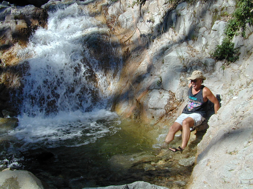
Forest Falls is well worth a stop for a quick picnic or hike – and head dunk. Weekends can be busy and crowded. Since this location is close to Southern California and the population centers, expect weekends to be busy in the Big Bear mountains. Plan a trip for week days to experience less people, and more nature.
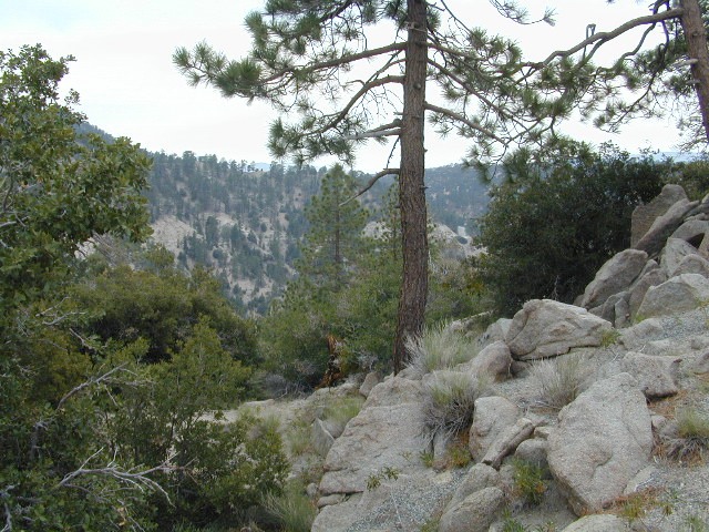
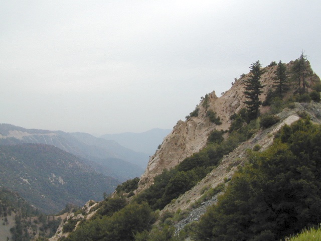
Angeles Crest Mountains
Los Angeles Forests Hiking Maps
If you’re feeling trapped in the smoggy LA Basin & need a quick escape to nature this is your place to find a good nature trail, a hiking trailhead, a picnic spot or camp site. Whether or not you are looking for a mountain bike trail after work, or a weekend of camping under the stars surrounded by natural settings, we can get you to your preferred destination with all the local maps of this region.
Angeles forest map: Angeles Forest Highway & Angeles Crest Highway 2 both lead into the Angeles National Forest. Off roading routes, hiking & backpacking, equestrian trails, dirt back roads, mountain peaks, campgrounds or picnic grounds.