Tag Archives: best fishing lakes

Eastern Sierra Lakes

Camping Lakes – Campground Lakes
Lake Eastern Sierra California

There is not enough room on this web site to list every single alpine lake in the majestic Eastern Sierra range, since there are hundreds, but we highlight a few of the hike-in accessible ones & the more popular camping lakes below.

DSCN0100

June Lake Loop is a paved, scenic drive highway that has multiple lakes with cabin rentals, camping, fishing, boat rentals. One of the best places to spend autumn looking for fall colors among the aspens.

DanaMite also knows a picture is worth 1000 words, so just click links for photos & enjoy!!!
convict lake Eastern SierraLone Pine Lakes include –

  • Diaz Lake (on US Hwy 395)
  • Cottonwood Lakes camping (hike in)
  • Lone Pine Lake (hike in)

Onion Valley camping
@ Independence, CA
Kearsarge Lakes include –

(all are hike-in lakes)


mountains

Bishop Lakes include – (Hwy 168)

ROCK CREEK CANYON
US 395

Paved road dead ends at over 9000′ elevation
Wilderness Access w/ Trailheads & Parking
NFS Campgrounds
Remote Cabin Resorts

hiker

LAKE CROWLEY CA

CONVICT LAKE CA

Mammoth Lakes include – (Hwy 203)

Walker Lake @ June Lake Loop
Walker Lake @ June Lake CA

June Lake Loop includes – (Hwy 158)

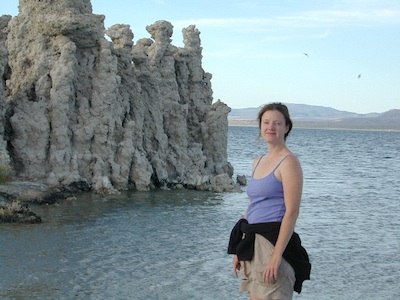
MONO LAKE CA

US 395 @ LEE VINING, CA
Yosemite NP [EAST ENTRANCE]
Tioga Pass Lakes include –
(Hwy 120)

califrepublic

LUNDY LAKE CA

Bridgeport, CA

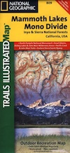
NatGeo Mammoth MapEastern Sierra topographic trail maps to lakes

Mono Maloy

Fishing Maps California

owensfishing

California Fishing Maps & Destinations

California fishing recreation ranges from sport-fishing, an open sea adventure, to solo casting in deep river canyons. Big Sierra Reservoirs near Gold Rush Country to High Country Alpine Lakes, the golden state has the water – and the outdoor recreation you crave.

Below is an alphabetical list of popular fishing destinations within California. Mountains to coastline, there are many maps to choose from.

American River, California

gonzagadusk

Baja California Maps
Surf, Camp, Fish, Kayak, Dive
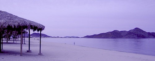
Sea of Cortez, Baja CA Mexico

Big Bear Trail Map
San Berdoo Mountains Map
San Bernardino National Forest Map USDA
San Bernardino National Forest
Big Bear Lake, Arrowhead & Idyllwild
SoCal Mountains

Lake Berryessa California
Wine Country Reservoir

Bishop Creek Eastern Sierra

Bishop Pass Trail Map
North Lake, Sabrina, South Lake
Bishop Creek, Eastern Sierra

Bucks Lake Wilderness Map
Bucks Lake Wilderness, Quincy CA
Bucks Lake Campgrounds
North Sierra Mountains

California Delta Maps

Carson Pass, Sierra Highway 88
Carson Iceberg Wilderness Map
Central Sierra Nevada Lakes & Rivers

Casitas Lake, Ventura County

Clear Lake, Wine Country California

Crystal Basin Sierra Nevada

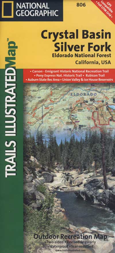
Crystal Basin / Silver Fork Map
Central Sierra Nevada Mountains
Eldorado National Forest

El Dorado National Forest Map
Mokelumne, American River

Dinkey Lakes Wilderness Map
Tom Harrison Map
Sierra Hikes, Dinkey Creek

Golden Trout Wilderness Map
Upper Kern River, Southern Sierra

Green Creek Road
creek fishing, trailhead campgrounds
Bridgeport, CA Eastern Sierra

Hat Creek California 
Headwaters to the Pit River

Lake Havasu, California 

Hoover Wilderness Map
Hoover Wilderness
Bridgeport, CA Eastern Sierra

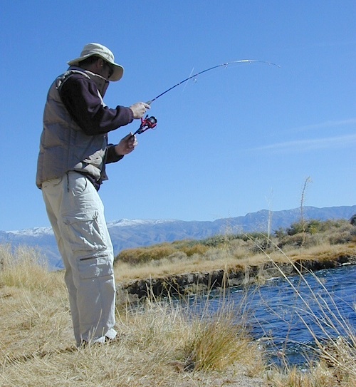
Hot Creek @ Mammoth Lakes, Eastern Sierra

Inyo National Forest Map
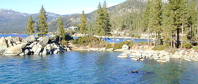
Mount Whitney, Owens River, High Sierra Lakes
Bishop, Crowley, Mammoth & June
Eastern Sierra Nevada Mountains

Kearsarge Pass Topo

Kearsarge Pass Trail Map
Rae Lakes Loop, High Sierra
Onion Valley, Eastern Sierra

Kings Canyon High Country Map
Kings Cyn National Park
Trails, Peaks, hike-in only Lakes

Klamath National Forest Map
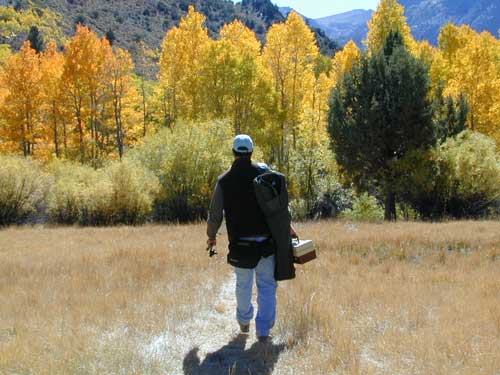
Klamath River, NorCal
Hwy 96, Happy Camp, Hupa/Hoopa

Lakes Basin Recreation Area
Lakes Basin Map USDA
over a dozen small lakes, w/ trails, fishing
Gold Lake California
Sierra Buttes, North of Gold Country

Lake Isabella, Kern River

Lake Tahoe, Sierra Nevada Mountains

Lake Tahoe Map

Lake Tahoe Basin Map NatGeo

Tahoe Eastshore

Lassen Forest Map
Lassen National Forest &
Lassen National Park
Feather River, Lassen Lakes

Mammoth Map

Mammoth Lakes Map NatGeo
Mammoth Lakes CA
Mono Divide, High Sierra
June Lake, Eastern Sierra Recreation

Rush Creek

Lake Mead, Nevada

NatGeo Lake Mead Map

Lake Mohave, Nevada

Merced River Recreation Map NatGeo
Merced River & Tuolumne River
Yosemite Camping & Fishing
Gold Country, Western Sierra Rivers

Millerton Reservoir, West Sierra
Fresno, CA

Mineral King Trail Map
Southern Sequoia National Park
day hike to wilderness lakes

Owens River, Eastern Sierra

Plumas National Forest Map
Lake Almanor, Lake Oroville
Feather River (all 4 forks)

Piru Lake, California

Pit River Fishing Map 

Sacramento River, North State

Sequoia National Forest Map
Kern River, Lake Isabella
Kern Plateau, Kennedy Mdws

Shasta National Forest Map
Sacramento River, Lake Shasta
NorCal fishing, Mount Shasta

Sierra National Forest Map
San Joaquin River, Dinkey Creek
Dinkey Lakes Map
Kings River, Pine Flat Reservoir
Lake Edison, Florence
Shaver Lake Map, Huntington Lake
BlackRock, Courtright, Wishon

Stanislaus National Forest Map
Stanislaus National Forest
Sonora Pass, Dardalelle
Stanislaus River, Gold Country

sierra buttes

Tahoe National Forest:

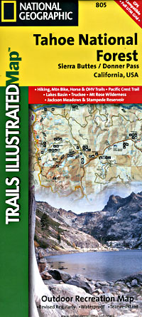
Tahoe Sierra Buttes Map NatGeo
Sierra Buttes / Donner Pass
Lakes Basin Recreation Area

Tahoe Yuba Map NatGeo
American River, Yuba River
Gold Country California

Toiyabe National Forest:
Eastern Sierra Nevada Mts

Toiyabe Carson Map
Carson River, Markleeville
Eastern Sierra, South of Tahoe

Toiyabe Bridgeport Map
Walker River, Twin Lakes
Eastern Sierra, Yosemite East

walker river California
Walker River California

Walker River Fly Fishing Map
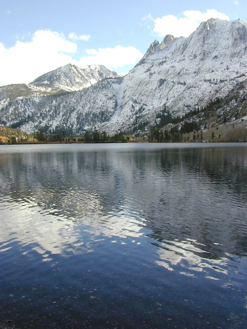
lakes

let’s not forget the ever expanding…

California Lake List

rocklakefishing

Silver Lake @ June

June Lake Loop

Silver Lake @ June Lake Loop

(Mono Co)

7700′ elev. Hwy 158, Backside of June Lake Loop, north of Mammoth.

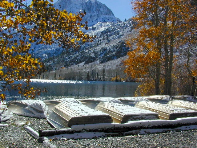
Prime hiking and fishing destination of the Eastern Sierra, California. With impressive Carson Peak (10,909′) towering as a granite backdrop for the lake, every day out here is super scenic. Unless, of course, blizzard white-out conditions occur – which is possible during winter.

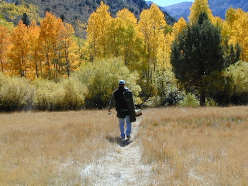
fishOctober-November, Autumn colors – at this particular location – tend to be fantastic, with aspen groves encompassing the lake, nearby streams and steep canyons.
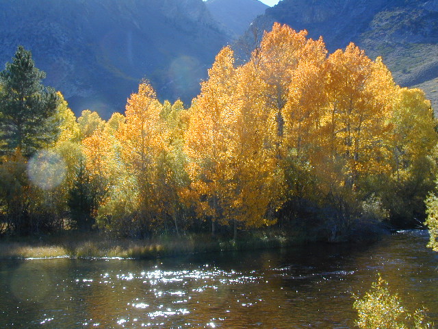
fish: Reverse Creek, Rush Creek, Silver Lake, Grant Lake, Gem Lake, Gull Lake, June Lake

golden glow june

Winter weather & deep snow can close the paved highway loop, so know road conditions and weather forecast before you go. This beautiful Silver Lake is within walking distance of two lodges – Whispering Pines & Double Eagle Resort, so if rain or snow is predicted make your reservations.

  • aspen groves
  • autumn colors
  • backpacking
  • camping
  • canoeing
  • fishing lake
  • hiking trails
  • horseback trails
  • kayaking
  • mountaineering
  • picnic grounds
  • RV camp

Rental Boats

Ansel Adams Wildernesshiker
Inyo National Forest
June Lake, CA

This gorgeous, 80 acre alpine lake is a popular campground for fishing, picnicking, hiking, summer and autumn camping. Accommodates tent camping and RVs. Boat ramp, grocery store, coin-op laundry – all nearby. Camp closes for snow annually.

Silver Lake Campground NFS campground

• Elevation: 7600′
• Number of Sites: 28
• Vehicle Accessibility: RV 20′
• Campsites Reservation: Yes
• Camp Fee: Yes
• Toilets: Flush
• Water: Piped/Potable
• Length of Stay: 14 Days
• Season: April – October

NFS
Inyo National Forest
Mono Lake Ranger Station
North US Hwy 395
Lee Vining, CA 93541
760-647-3044

lets go fishing

stars

See all Silver Lakes in California

Bucks Lake Campgrounds

indian rock
Indian Rock is a beach (day use only) on the west side.

Bucks Lake, California

Below is a list of all the developed campgrounds & RV Parks surrounding the Bucks Lake region of Plumas National Forest in the Northern Sierra Nevada mountains. The infamous Pacific Crest Trail (PCT) runs through Bucks Lake Wilderness, so there are also trailhead camps and backcountry camp sites that are not in this list. This high elevation region closes the campgrounds for winter: NOV- APRIL

campgrounds RV campgrounds fishing lakes campgrounds launch lake camping hiking lakes

Campgrounds at Bucks Lake

campground elev spots veg toilet water
Hutchins Group Camp 5200′ 10 pines flush piped
Lower Bucks Campground 5200′ 6 pines vault piped
Mill Creek Campground 5200′ 10 pines vault piped
Sundew Campground 5200′ 19 pines vault piped

NFS camps

NFS Camps nearby

campground elev spots veg toilet water
Deanes Valley Campground 4400′ 7 mixed vault creek
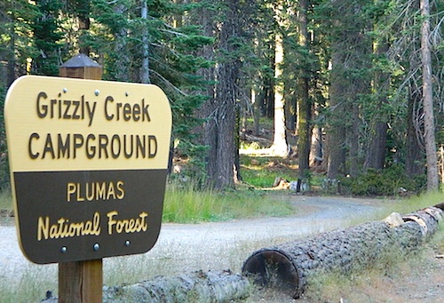
Grizzly Creek Campground 5400′ 8 pines vault piped
Silver Lake Campground 5800′ 9 pines vault lake
Snake Lake Campground 4200′ 14 mixed vault lake
Whitehorse Campground 5200′ 20 pines vault creek

USDA
Plumas National Forest

Oroville Ranger Station NFS
530-534-6500

Quincy Ranger Station NFS
530-283-0555

Bucks Lake CA

PG&E Campground @ Bucks Lake

Haskins Valley Campground
16731 Bucks Lake Rd
530-283-0256

Grizzly Forebay Campground
CLOSED in 2013 by PG&E
530-896-4263 (for more info)

RV Parks @ Bucks Lake

Bucks Lake Camp & RV
280 Bucklin Road
530-283-2221

Bucks Lake Marina
16469 Bucks Lake Rd
530-283-4243

Lakeshore Resort
16001 Bucks Lake Rd
530-283-2848

grizzly creek