California Fishing Maps & Destinations
California fishing recreation ranges from sport-fishing, an open sea adventure, to solo casting in deep river canyons. Big Sierra Reservoirs near Gold Rush Country to High Country Alpine Lakes, the golden state has the water – and the outdoor recreation you crave.
Below is an alphabetical list of popular fishing destinations within California. Mountains to coastline, there are many maps to choose from.

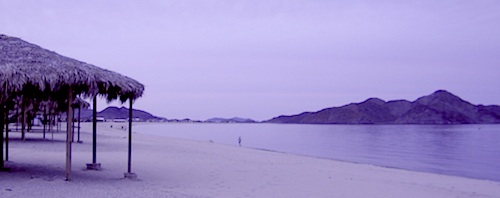
Baja California Maps
Surf, Camp, Fish, Kayak, Dive
Sea of Cortez, Baja CA Mexico

Big Bear Trail Map
San Berdoo Mountains Map
San Bernardino National Forest Map USDA
San Bernardino National Forest
Big Bear Lake, Arrowhead & Idyllwild
SoCal Mountains
Lake Berryessa California
Wine Country Reservoir


Bishop Pass Trail Map
North Lake, Sabrina, South Lake
Bishop Creek, Eastern Sierra
Bucks Lake Wilderness Map
Bucks Lake Wilderness, Quincy CA
Bucks Lake Campgrounds
North Sierra Mountains
California Delta Maps


Carson Pass, Sierra Highway 88
Carson Iceberg Wilderness Map
Central Sierra Nevada Lakes & Rivers

Casitas Lake, Ventura County

Clear Lake, Wine Country California

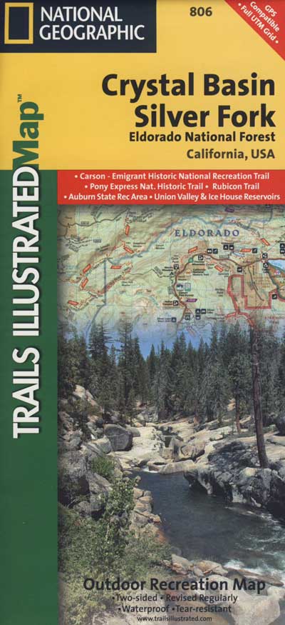
Crystal Basin / Silver Fork Map
Central Sierra Nevada Mountains
Eldorado National Forest
El Dorado National Forest Map
Mokelumne, American River
Dinkey Lakes Wilderness Map
Tom Harrison Map
Sierra Hikes, Dinkey Creek
Golden Trout Wilderness Map
Upper Kern River, Southern Sierra
Green Creek Road
creek fishing, trailhead campgrounds
Bridgeport, CA Eastern Sierra
Hat Creek California
Headwaters to the Pit River


Hoover Wilderness Map
Hoover Wilderness
Bridgeport, CA Eastern Sierra
Hot Creek @ Mammoth Lakes, Eastern Sierra

Inyo National Forest Map
Mount Whitney, Owens River, High Sierra Lakes
Bishop, Crowley, Mammoth & June
Eastern Sierra Nevada Mountains

Kearsarge Pass Trail Map
Rae Lakes Loop, High Sierra
Onion Valley, Eastern Sierra
Kings Canyon High Country Map
Kings Cyn National Park
Trails, Peaks, hike-in only Lakes
Klamath National Forest Map
Klamath River, NorCal
Hwy 96, Happy Camp, Hupa/Hoopa
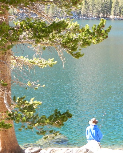
Lakes Basin Recreation Area
Lakes Basin Map USDA
over a dozen small lakes, w/ trails, fishing
Gold Lake California
Sierra Buttes, North of Gold Country

Lake Tahoe, Sierra Nevada Mountains

Lassen Forest Map
Lassen National Forest &
Lassen National Park
Feather River, Lassen Lakes

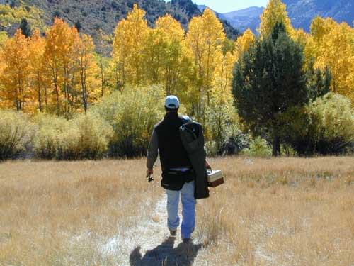
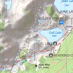
Mammoth Lakes Map NatGeo
Mammoth Lakes CA
Mono Divide, High Sierra
June Lake, Eastern Sierra Recreation
Lake Mead, Nevada


Merced River Recreation Map NatGeo
Merced River & Tuolumne River
Yosemite Camping & Fishing
Gold Country, Western Sierra Rivers
Millerton Reservoir, West Sierra
Fresno, CA

Mineral King Trail Map
Southern Sequoia National Park
day hike to wilderness lakes
Owens River, Eastern Sierra
Plumas National Forest Map
Lake Almanor, Lake Oroville
Feather River (all 4 forks)

Sacramento River, North State

Sequoia National Forest Map
Kern River, Lake Isabella
Kern Plateau, Kennedy Mdws
Shasta National Forest Map
Sacramento River, Lake Shasta
NorCal fishing, Mount Shasta

Sierra National Forest Map
San Joaquin River, Dinkey Creek
Dinkey Lakes Map
Kings River, Pine Flat Reservoir
Lake Edison, Florence
Shaver Lake Map, Huntington Lake
BlackRock, Courtright, Wishon
Stanislaus National Forest Map
Stanislaus National Forest
Sonora Pass, Dardalelle
Stanislaus River, Gold Country
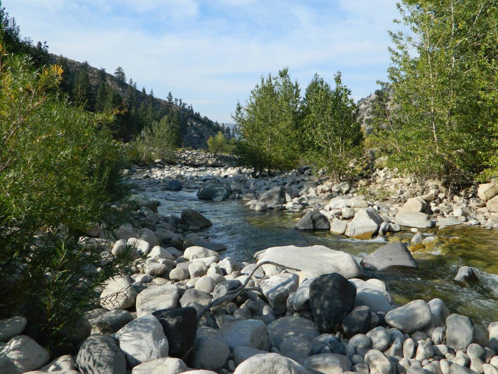
Tahoe National Forest:
Tahoe Sierra Buttes Map NatGeo
Sierra Buttes / Donner Pass
Lakes Basin Recreation Area
Tahoe Yuba Map NatGeo
American River, Yuba River
Gold Country California

Toiyabe National Forest:
Eastern Sierra Nevada Mts
Toiyabe Carson Map
Carson River, Markleeville
Eastern Sierra, South of Tahoe
Toiyabe Bridgeport Map
Walker River, Twin Lakes
Eastern Sierra, Yosemite East
![]()

let’s not forget the ever expanding…
California Lake List

 California Terrain