Tag Archives: Western Sierra

New Bullards Bar Reservoir

Bullards Bar California

Bullards Bar Boat-in Camps

BULLARDS BAR Dark Day is a lakeside walk-in campground on a small reservoir, located deep in the Gold Country foothills. Flush toilets and hiking trails, kayak rentals and fishing.

fish

West of Highway 49. Huge dam for hydro-electric power. Minimal roadways along the lake and steep canyons make for optimum hiking and boating. Floating and fishing. Relaxing in the mountains, with fresh water!

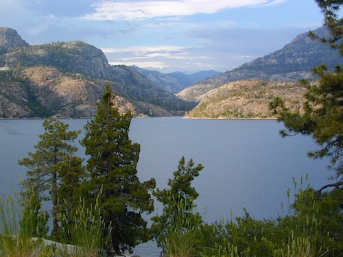
On most maps the official name of this lake may read New Bullards Bar Reservoir, or Lake Bullards Bar, but locals just call it simply – Bullards Bar!

Sierra Nevada Foothills. Yuba River, California.

Northern Gold Country, California

Near Camptonville, West off Hwy 49
in between Oroville and Nevada City, CA

Located not far from historic Downieville, Bullard’s Bar is an excellent base camp location for exploring the upper reaches of the Gold Country region. Old mining locations, museums, a covered bridge, various parks, Yuba River, Sierra Buttes, Lakes Basin. Grass Valley & Nevada City are also nearby. Mountain bike trails, river rafting and hiking all around.

New Bullards Bar

lake surface area: 969,600 acrespaddle sports

lake elevation: 2000′ above sea level

lake county: Yuba County California

roads around lake: Marysville Road (south of lake and east side w/ Hwy 49), Moonshine Road (south of lake), Oregon Hill Road (west side), Pendola Road (north side), and Forest Route #47 (dirt road on north side)

boatramp

nearest towns:

Bullards Bar
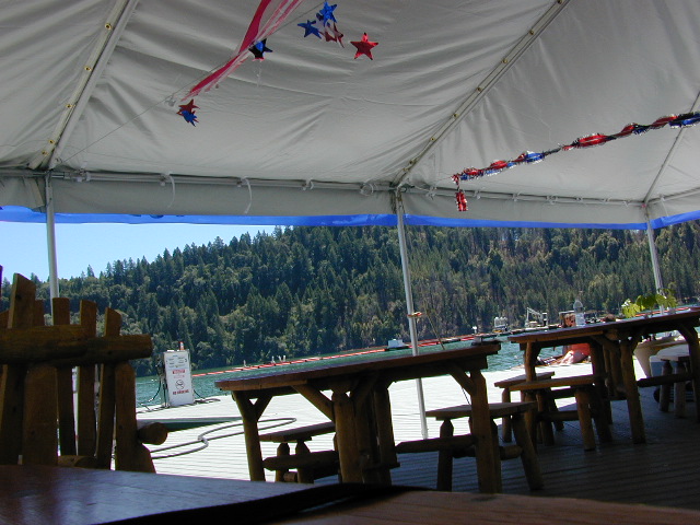
Shade @ the marina, just when you needed it most

Yuba River Recreation

camp

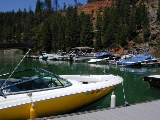
Bullards Bar water is a beautiful teal color of greenish-blue – due to heavy mineral content in the local soil (red dirt) and the dense forest above.

This water comes down the north fork of the Yuba River, as snowmelt from Lakes Basin Recreation Area, the Sierra Buttes, and the Yuba Pass on Highway 49. Northern Gold Country, California.

Bullards Bar Lake – Emerald Cove Marina
New Bullards Bar Reservoir
877-692-3201

boating boating gasoline marina

New Bullards Bar Reservoir

boat in camping

One of the few lakes in the Sierra Nevada that offer boat in camping at developed camp sites, and also to allow boaters primitive camping along the shoreline. No drinking water is available. No pit toilets, so a portable chemical toilet is always required. Plus, pack out all garbage.

No charge for DAY USE areas: parking or boat launch ramps

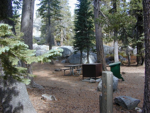
NOTE: Dark Day & Schoolhouse Campgrounds are the only car camping & RV accessible camping on this lake. These both have flush toilets and drinking water piped in. Hiking trails & boat launch nearby. Wheelchair accessible campsites are available.

CAMPS OPEN: APRIL – OCTOBER
Campgrounds @ BullardsBar are usually open from April to October annually and all are closed for winter months.

camping walkin camps hiking camping boating camping RV camping mountains

Bullards Bar Campgrounds

camp information 530-692-3200

  • GardenPoint: 17 boat-in sites
  • Madrone Cove: 10 boat-in sites
  • Shoreline Camp: 2 boat-in sites
  • Dark Day Walk-In Camp: 30 sites
  • Schoolhouse Campground: 56 sites
  • Hornswoggle Group Camp

Frenchy Point Campground USDA

Located 5 miles northwest of Dark Day Boat Ramp on the west side of the reservoir. Boat in only access. It is used as an over flow campground. There are campsites, but no bathrooms. Portable chemical toilet required. More info call Emerald Cove Marina at (530) 692-3200

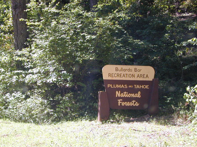
National ForestsBullards Bar Lake located on the Yuba River, bordering
between Tahoe National Forest & 
Plumas National Forest
 

bullards bar California

lake recreation 

  • boat in camps
  • canoe
  • fish
  • houseboat rentals
  • kayak
  • picnic sites
  • sail
  • watercraft rentals

land recreation

  • backpack
  • campgrounds
  • hike
  • mountain bike
  • walk-in camps

bikingbullardsdam

also in the area


View Larger Map

califrepublic

Second Spillway – in the works?
Yuba Water Agency has just committed to building a $160 million second spillway at the New Bullards Bar Dam; beginning in 2021, with a completion date of 2025.

check

https://en.wikipedia.org/wiki/New_Bullards_Bar_Reservoir
https://en.wikipedia.org/wiki/New_Bullards_Bar_Dam

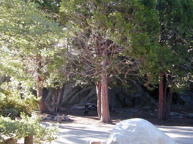
Balch Park

Balch Park / Sequoia Park

Balch Park Campground

BALCH PARK campground is on a first come basis; no campground reservations needed.

2021 – THIS CAMPGROUND IS CLOSED indefinitely,
due to the Castle Fire 2020

Balch Park open May to October
Park info # 559 539-3896

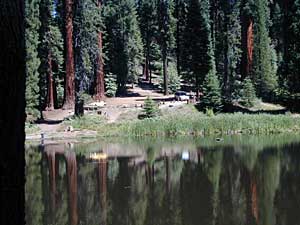
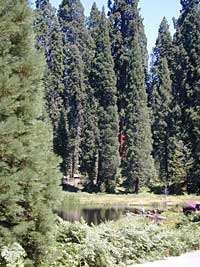
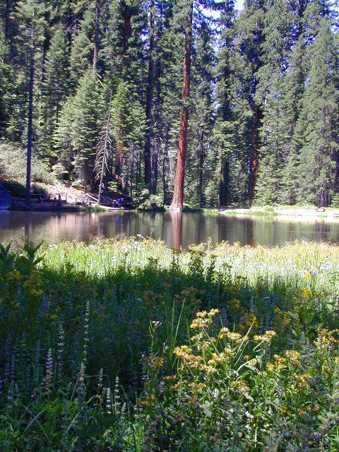
Hedrick Pond lined w/ Sequoia trees

Balch County Park is right in the middle of Mountain Home State Forest, which is within the bigger Sequoia National Forest (aka Giant Sequoia National Monument). But don’t let all the bureaucracy mislead you, this is an ideal park and location, well worth your trip. The campground is the most developed one within the area – with paved roads, RV spaces, flush toilets and a fee to go along with all that. Even gotta fishing pond.

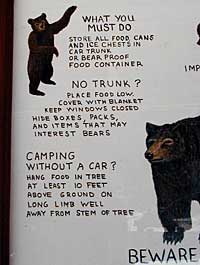
  • Bears are a big deal in these neck of the woods. Please store all your food properly to avoid a un-welcomed visitor
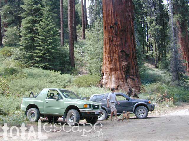
  • A Sequoia Grove is nearby with plenty of creeks & meadows.
  • Trailers not recommended due to the long curvy road leading up the mountain.

Balch Park & Campground NOT TO BE CONFUSED with utility company residences of BALCH CAMP between Pine Flat & Blackrock Reservoirs


View Larger Map

Helpful Maps:

Nearby cities & towns:

campground elev. spots veg toilet water fee
Balch Park
559-539-3896
6500′ 71 pines flush piped yes no reservations
first come basis

DSCN0021

Hidden Falls Campground

waterfall hidden
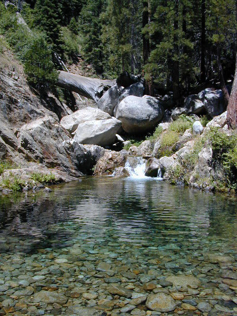
Hidden waterfall is tucked inside a cove of granite, at the far end of the parking lot.


2021 – THIS CAMPGROUND IS CLOSED indefinitely,
due to the Castle Fire 2020

Hidden Falls Campground
Middle North Fork of Tule River

Northside of Western Divide Highway 190, near Springville, CA

Mountain Home State Forest
559-539-2321 summer
559-539-2855 winter

Located right on the middle north fork of the Tule River

Inside an unknown area called Mountain Home State Forest, this small campground has a few spots that fill up quickly on weekends and at anytime during in the summer months. Campground closes seasonally, for winter snow.

Usually open: MAY-OCT

HIDDEN FALLS CAMPGROUND camping

Elevation: 6,150′
Number of Sites: 8 walk-in camp sites
Reservations: No
Sites Available: First come, First serve
Vehicle Accessibility: 20′ max.
Length of Stay: 14 Days
Water: River nearby
Toilet: Vault
Bear Boxes: Yes
Season: Closed for winter
Fee: Yes
Operated By: National Forest Service
Closest Town: Springville, California

tent camping on river

Motorhome RV campers beware; no hook-ups, no paved roads.  This is a primitive style camp, way back on a dirt road – not suitable for large vehicles.

NOTE $ This used to be one of our favorite FREE spots, but they recently started charging an overnight fee for this campground.

viewsfromcamp
Views from Camp
  • hikerbike
  • camp
  • fish
  • hike
  • picnic
  • stargaze

Golden Trout Wilderness trailheads nearby. Plenty of hiking opportunities, great scenery and several Sequoia groves to visit.Mountain biking is allowed on the dirt roads. Single track trails may be overgrown or even off-limits, due to the fragile eco-system around Sequoia trees.

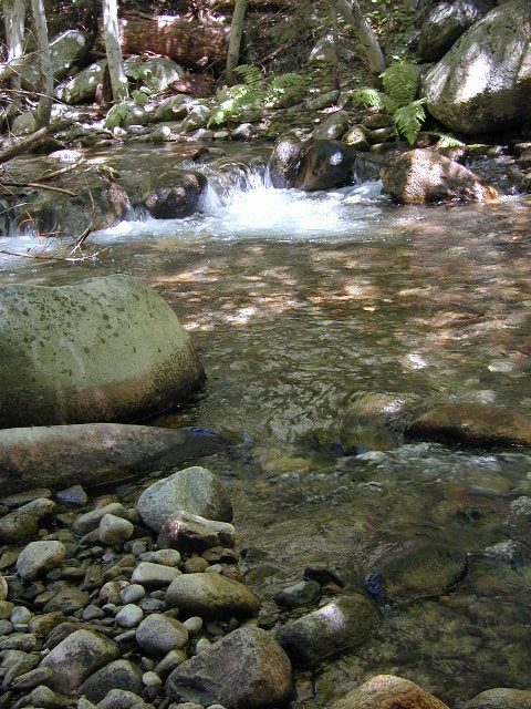
You may actually love this little camp so much, you won’t want to go anywhere else. How ’bout just chillin out: relaxing near the water. Shady swimming holes. Fishing in the Tule River.

Pack a picnic: Back road exploration is a great day trip, for there are many dirt roads weaving in and around this park, near the Giant Sequoia.

Tule River, South Fork
Tule River, North Fork

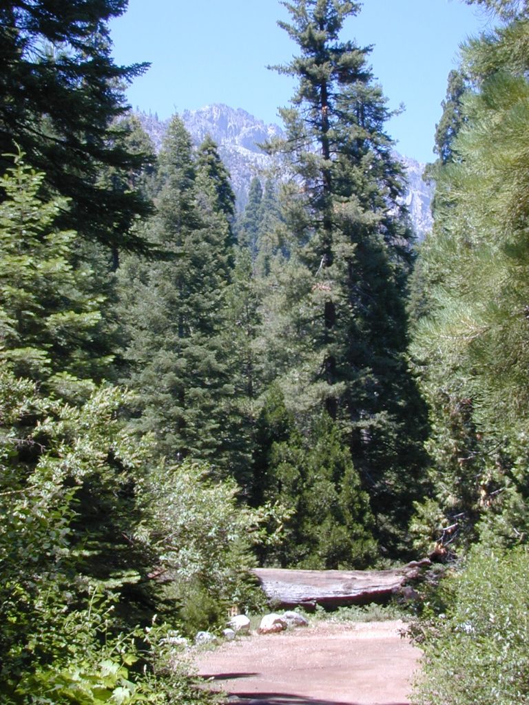
SEQUOIA_mapHidden Falls is accessible via a long, narrow, paved mountain road; then a dirt road, leading 3 miles back to two very secluded campgrounds: this one & neighboring Moses Gulch Campground.

western south sierra

North of Springville on Highway 190, turn left (north) on to J37, some call it  Balch Park Road (Google Maps has it as Wagner Drive) and follow it up 3.5 miles to Bear Creek Road (#220). Drive 17.5 miles on curvy Bear Creek Road, turn right and follow signs to campground.

saabaru_forest

Rent Camping Gear

Camp Gear Rental / Camping Equipment Rental /

Outdoor Equipment Rentals

Backpacks

recreational equipment

California Camping Rentals: Outdoor gear rentals in California are more common in big cities with large retailers and harder to find in specific, small towns on the back roads. Plan ahead trying to rent gear. Recreation destinations such as Joshua Tree, Mammoth & Bishop might have rental shops, but finding a rental store in an unfamiliar area could be ‘just chancing it’.

Be sure, before you go.

DanaMite has revised this handy list for your wilderness vacation planning, recreational equipment and rental needs.

2020 UPDATE: Recently deleted 4 shops on this page, so don’t be surprised if more gear rental shops vanish.

RENTAL SHOPS specific to California

major retail chain:

REI rents gearREI rents gear!

hiker

independent rental shops in small town Cali:

(listed from south to north)

Stone Equipment Rental (Bishop) 760-873-7907
MammothGear.com (Mammoth Lakes)
Yosemite Equipment Rentals (Yosemite Valley)
Sierra Nevada Adventure Company (Gold Country)
MountainSportsChico.com (Chico)
TheFifthSeason.com (Shasta)
Humboldt State Rentals (Arcata)

camp

California gear rentals

RENTAL SHOPS online

There are many reason people rent gear. Tourists or vacationers passing through, wanting to experience a non-hotel night outdoors; Beginner backpackers wanting to try out equipment before committing to a big purchase; College students on an impromptu road trip; Novice cross country snow skiers;  Doggy now packs in his own food & water too.

A new concept now being delivered is online gear rental, from camping to fly fishing. Seriously. They can ship you quality rental gear, and you can use it, test it, review it, all hands-on, out in the field. These 2 players in the West both ship nationwide. Imagine what else the web will rent in the future?

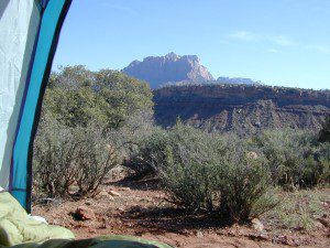
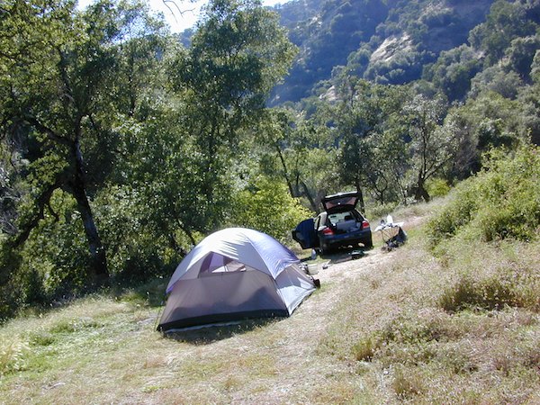
viewfromtent

Wishon Reservoir

Lake Wishon – Sierra NF

Western Sierra Nevada Lake
Central Sierra California

lake wishon

East of Fresno, CA
East of Shaver Lake

EB from Fresno, Hwy 168 up to Shaver, w/ another 30+ miles on paved backroads
(Dinkey Creek Rd & then McKinley Grove Rd)
Way, way back, beyond Dinkey

You gotta really wanna BE at places like this. Magical High Sierra mountains – California’s finest. Sheer beauty surrounds this lake w/ granite domes, granite cliffs, granite trails, forests, peaks and plenty hiking, fishing, water and boating. It does take planning (way ahead) to make it out here, cuz the area is only accessible during summer months. Typical of high altitude lakes, snow buries them annually and the roads get closed off to the public (usually NOV-MAY is winter). Some backcountry routes become snowmobiling trails during winter, and the Sierra National Forest has plenty of great snomo action (if snow is deep).

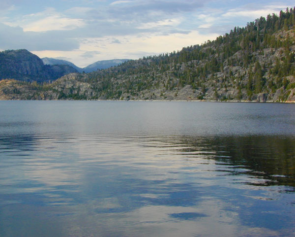
Wishon Lake, California
elevation: 6600′

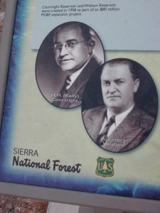
High Sierra Granite Reservoir with pines trees and rocky, granite shoreline. Not nearly as amazing as its cousin w/ the domes to the north, Courtright, Wishon has less granite & less wind, but more accessible backroads to explore, plus more car camping options. Both lakes are part of the Helms Creek hydro-electric project (dams) that make up the PG&E water infrastructure out in these parts – The Kings River Drainage System.

Backpacker trailheads, Woodchuck, Rancheria & Crown Valley all lead to dead end dirt roads – with nothing but solitude for miles & miles. Some might be passenger car accessible. Winter weather changes dirt road conditions (often).

The Kings River Geological Area is nearby, as well as both the John Muir Wilderness & Dinkey Lakes Wilderness.

Wishon Sierra Nevada

Large Reservoir with 8,000-10,000′ high sierra mountain peaks surrounding. Pine forests, views, fishing, camping, hiking in every direction, secluded dirt roads. Perfect high elevation trailheads, next to John Muir Wilderness. Great for backpackers!

All boating, but no waterski or jet ski.
One public boat ramp. Fishing boat rentals available.

WARNING: Water level changes daily.


lake area recreation:

Backpacking
Boating
Campground Camping
Dinkey Lakes Wilderness
Fishing
Hiking
Horse Pack Trips
John Muir Wilderness
Mountain Biking
Primitive Camping
Sierra National Forest
Snowmobiling the Sierras
Spanish Lake 4×4 Route

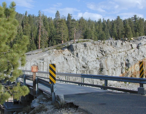
bridgewishon

Wishon is a summer vacation paradise for trout fishing, hiking, backpacking and back road exploring.

CLOSED FOR WINTER: NOV-APRIL = Snow closes the road for winter. For all you hardcore campers and hikers, you must call ahead to see if roads are open. It is rural forest, well traveled, but snow storms will shut everything down out here (for many months). Although, in some mild winters you can drive as far as Dinkey Creek on pavement. Gates are locked beyond that.

Central Sierra Wishon Lake Camping

LilyPad Campground @ Wishon Lake

Upper Kings Group Campground (by reservation only)

helpful numbers:

High Sierra Rangers Office: 559-855-5355
Pineridge and Kings River Ranger Districts
29688 Auberry Road, Prather, CA 93651

Dinkey Creek Ranger Station
(June thru September)
559-841-3404

Wishon Village RV
66500 McKinley Grove Road, Shaver Lake, CA 93664
559-865-5361

Engineering

Other places nearby


Black Rock Lake
Sierra Forest Road #11S12
Courtright Lake
Dusy Ershim 4×4 Trail

Dinkey Creek Campground
Dorabelle Campground
Gigantea Campground
McKinley Sequoia Grove
Sawmill Campground (dirt road)

Free, primitive or open camping abundant on the dirt backroads in Sierra National Forest. 4 wheel drive is not required for most routes, but a high clearance rig would help. Some gravel roads are graded annually and suitable for passenger cars – during summer months and only for about the first mile or two, off of the main road (pavement). Mud and snow are common on backroads!

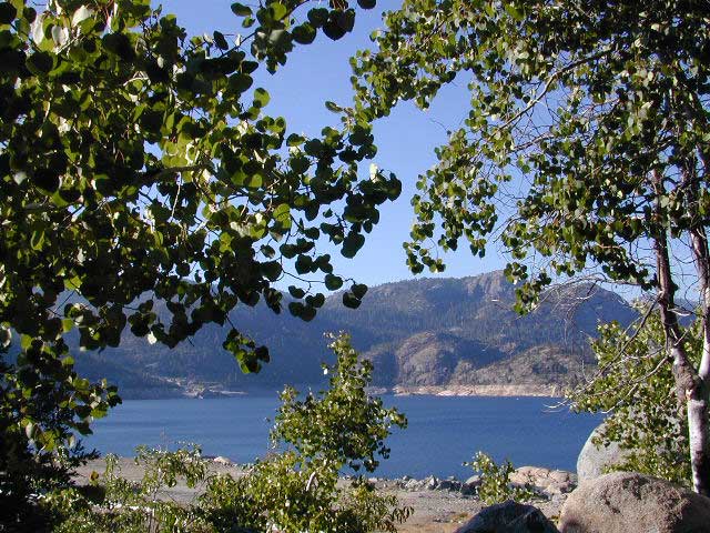
Aspens @ Wishon, Western Sierra
nearby towns:
Fresno, CA
Huntington Lake
Lakeshore
Pine Flat
Prather
Shaver Lake


Sierra National Forest Map
Dinkey Lakes Map
Dinkey Lakes Map
John Muir Wilderness Trail Maps Sierra Nevada Topo Map

Wilderness Wishon California

wish on

NOT TO BE CONFUSED WITH:
Wishon in Giant Sequoia & Wishon @ Bass Lake

There is another popular camp spot called Wishon Camp – on the Western Divide Highway, much further south in the Sequoia National Forest.

Wishon Campground on the Tule River in the Giant Sequoia National Monument. Just up from Springville, CA

And also, the Bass Lake Wishon; there is another WISHON Campground at popular Bass Lake, South of Yosemite NP.

Central Sierra Nevada Mountains

Small Camping Lake
Kirkwood Lake Campground

Central Sierra Nevada: Sequoia to Donner

Although Sequoia trees can be found in the southern Sierra, the National Park is located more in the mid-Sierra. From the Kern River to Kings River,  the southern stretch of Sierra Nevada is home to the southern most Sequoia groves, the longest river in California, and the granite dome wonderlands that overlook the Mojave Desert.

The Tehachapi range is on the tail end to the south w/ Hwy 58, while Kings Canyon Park borders more High Sierra Wilderness to the north end. If you are heading up from SoCal, this is the most accessible portion of the Sierra Nevada range.

While the Kern River Valley can get hot in the summer months, the rivers, streams & higher elevations surrounding it, make it a prime destination for folks seeking cooler mountain breezes, creeks and dark skies. Springtime is one of the best times of year to visit the Kern River. While summer is best for the high wilderness areas, since the snow usually doesn’t melt until May.

Mountain Home State Forest is a little known haven for campers & hikers seeking less-crowded Sequoia groves. With the Tule River, fishing ponds, waterfalls, swimming holes & meadows, this place provides a nice solitude to the busier parks to the north. Balch Park is a county park w/ large campground, that sits adjacent to Mountain Home Forest.

Both National Parks (Seqouia & Kings) are both busy in summer & tourists can be seen lining the main road, Highway 198. Crystal Cave & Boyden Cavern both offer daily tours during the warmer months. Sequoia National Park is open during winter months & is popular among winter sports enthusiasts. Kings Canyon National Park & Hwy 180 are also open during winter, with winter sports recreation.

Big Meadows Road (14S11) offers great camping options for those that wish to camp outside the National Park boundaries.

Sequoia groves

Sequoia forest & parks –

Sequoia National Forest
Mountain Home State Forest
Sequoia National Park
Kings Canyon National Park

Sequoia maps & trails –

Sequoia towns nearby –
Alta Sierra, Camp Nelson, Fairview, Kennedy Meadows, Kernville, Lake Isabella, Mineral King, Ponderosa, Springville, Three Rivers, Wofford Heights

Sierra Nevada

Central Sierra Nevada forest & parks –


Sierra National Forest

Yosemite National Park

Stanislaus National Forest

Eldorado National Forest

Tahoe National Forest

Sierra Nevada

Central Sierra Highways –

Central Sierra Nevada maps & trails –

Rancheria Falls
Rancheria Falls, Huntington Lake, CA

Central Sierra Nevada towns nearby –
Bass Lake, Fish Camp, Huntington Lake, Pine Flat Reservoir, Shaver Lake

stanislaus sonora pass

Gold Country California

is located in the western foothills of the Central Sierra Mountains

Historic Highway 49 is the Gold Country Hwy, which begins down near Yosemite and leads north, thru the foothills, up to Sierra Buttes & ends out near Loyalton, CAgold miner

Sierra NF – Road #9

sierra10S69

Sierra National Forest
Big Creek Road #9

aka. Rd #10S69

Connects Pine Flat Reservoir @ Lower Kings River, to upper elevation Sierra forests near Dinkey Creek Road. McKinley Grove of Sequoia

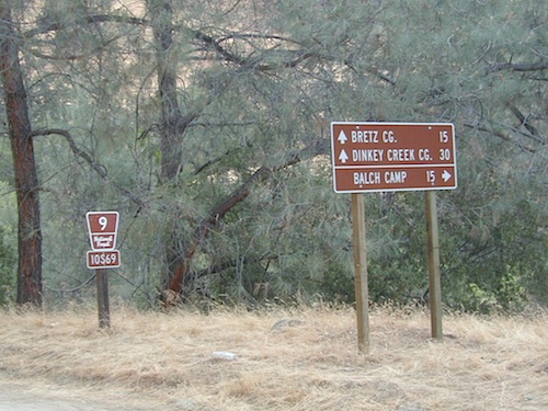
Sierra Road number 9 is a north turn off of Trimmer Springs Road. Marked as National Forest Rd #10S69, as well as just plain NINE. Big Crk. canyon is after the Maxson Road junction, and before the Balch Camp / Blackrock Reservoir turn off on #11S12. The area is known for abundant wildflowers in the early season.

dirt road climbs 25+ miles thru Sierra NF

sierra9

  • back road exploring
  • camping
  • fishing
  • hiking
  • hunting
  • kayaking
  • picnic areas
  • swimming
  • wildflowers
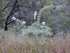
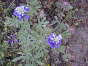
Tall White Lupine
Tall White Lupine

Big Creek Rd 9

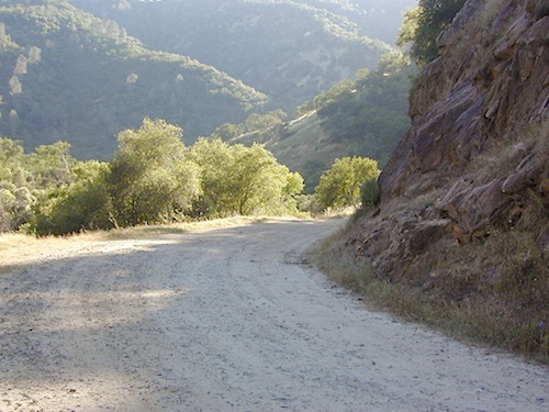
A popular dirt road drive for the western Sierra – Pine Flat Lake region. A forested, south facing canyon in the Southern Sierra Nevada Mountains. Big Creek, wide, graded, dirt road w/ primitive camp sites. 4×4 could be needed in wetter months.

The higher you go on this route, the more pine trees you will experience. Winter weather can close this route. A campfire permit is required to camp along this road.

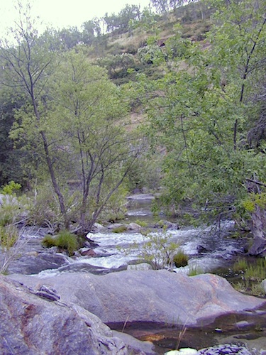
The lower part of the canyon has rock features, small waterfalls, swimming holes, picnic spots and sometimes cattle grazing. Several prime unmarked, primitive camp sites along this road – but few and far between. High clearance or 4WD may be needed, depending on road conditions.

sierra hiker

Soaproot Saddle Road is a not-so-obvious left fork (dirt, without signs) that leads steeply up away from main road. Climbs a steep hillside, way up above and along Rush Creek; continues for many miles. Less people back this way, if you are seeking seclusion. Few primitive camp sites on right side of road, near where the creek breaks away from road. Good for stargazing way back here. 4×4 may be needed. Road may or may not connect through to desired destination.

The mid-route climbs into pine forest and the dirt road switchbacks, steeply, with a few more camp sites available; usually found on short side roads off the main road.

sierra creek camps

At Sierra #9, a major junction w/ dirt road #10S69, called Dinkey Trimmer Road. This leads way off through the rugged terrain, many miles, over to the pavement at Dinkey Creek Jct – Campground, Trailhead and Dinkey Lakes Wilderness.

Big Creek will turn left (north), and follows the large Big Creek Canyon. Several steep miles climb up into the dense pine forest, following the creek the whole way. Several prime creekside camp sites fill up fast in this stretch. Great views, steep dirt roads. GPS waypoint these camp driveways – so you can find it next time, (first, before everyone) on Friday, Thursday before midnight.

Peterson Mill Road is Rd #10S02, found on the left (west) side of Sierra #9. That westbound route becomes pavement half way back to Highway 168. This way is the quickest way from Fresno, out to the developed NFS Bretz Campground.

Sierra #9 Big Creek Road arrives in the densest of forests. Many camp sites and side routes to explore. Dark, upper elevations, snow lingers long in the shade. 4WD may be needed in wet areas. Mud is quite common MOST of the year in this spot, so know your vehicles capabilities before you get yourself stuck (or stranded). It’s a very long walk to any kinda civilization!

Hunters like to use these upper camps during hunting season. A camp fire permit is required, so bring your shovel and bucket; self-sufficient campers enjoy the back roads most often.

wild sierra flora

Bretz Campground NFS is up here on the main road, number nine. Clock it w/ dash trip meter; 15 miles from the road start @ Pine Flat Lake. Popular with OHV and 4×4 groups. Max RV or trailer length = 24′
Open all year long; No fee.

Sierra Forest Road #9 the far north end, enters Blue Canyon @ #10S18, but the Rd #9 route continues NE as Providence Creek Road. Eventually intersecting @ Dinkey Creek Rd w/ Rock Creek & Dinkey Dome closeby. Great granite 4×4 Trail @ Bald Mountain (elev. 7832′) overlooking Shaver Lake.

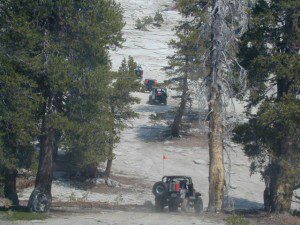
Jeepers on granite @ Bald Mtn, above Shaver Lake, CA

Kings River Camping

2 tone lupine

SIERRA MAP
sierra National Forest map

places nearby –
shaver lake map

Balch Camp (utility & NFS)
Black Rock Reservoir
Courtright Reservoir
Dinkey Creek
Huntington Lake
Lakeshore, CA
Pine Flat Lake
Shaver Lake, CA
Trimmer Springs
Wishon Reservoir

Sequoia Cabins

Sierra Cabins near Sequoia Groves

Sequoia trees naturally grow in the Sierra Nevada mountains, on the west side of the range. Several parks & forests make up what is known as “the Sequoias” – in the Southern Sierra, Sequoia National Forest; Giant Sequoia National Monument; Mountain Home State Forest; Central Sierra is home to Sequoia National Park & neighboring Kings Canyon NP; Sierra National Forest & Yosemite NP. Yep, all those areas have Sequoia groves!

See all the Sequoia & Redwood Groves in California!

California Cabin Rentals near to Sequoia groves –

Sequoia cabin rentals

TOPO MAPS of California Redwoods –

  • Sequoia Maps by NatGeo
  • Yosemite NP Maps
  • NorCal Redwoods Map
  • If you are searching for tallest species, the Coastal Redwoods located on the shores of Northern California, then you can find them over here – NorCal Redwoods

    Dinkey Creek

    Dinkey Creek, California

    dinky what?

    Dinkey Creek California
    Dinkey Creek really ain’t all that small is it?

    Dinkey Creek elevation 5700′

    Dinkey is a major feeder creek originating with high altitude lakes in the Wilderness above, flowing down to the Kings River. Dinkey Creek has a seasonal large campground and a general store that is open during the summer months. Campground Reservation are common since this is a well-known destination of the Western Sierra.

    in the mountains above Fresno

    Located deep in the Sierra National Forest, 15 miles south of Hwy 168 @ Shaver Lake, via a very long, winding, paved road. Not suitable for large motorhomes.

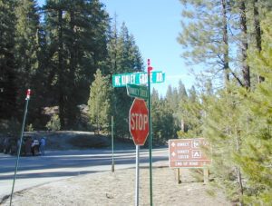
    Dinkey Creek Road becomes McKinley Grove Road @ intersection of historic, wooden Dinkey Creek Bridge. McKinley Grove Rd  leads further south, past Sequoia trees, numerous other NFS campgrounds and on to the 2 big reservoir lakes (Wishon & Courtright). The Dinkey Road is usually only open during warmer months (MAY-OCT), snow & weather permitting.

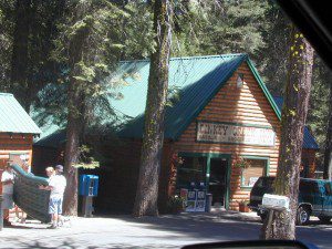
    Dinkey Creek Store

    A very popular place for summer vacations, fishing, hiking and picnicking. The day use area near the historic wooden bridge has numerous dirt parking lots, trails, picnic tables and pit toilets. Excellent place for exploring on foot with the family, or creek fishing from the boulders.

    mountains backroad horseback trails picnic fishing mountain bike camps hikesnight skiesNFS
    wooden bridge
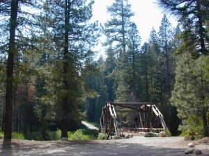
    Historic Dinkey Creek Bridge

    Dinkey Creek Campground RV camping

    • Elevation: 5,700′
    • Number of Sites: 128
    • Water: piped
    • Toilets: flush
    • Amenities: showers, horse corrals
    • Vehicle Accessibility: 30′ max RV
    • Campsites Reservation: Yes
    • Length of Stay: 14 Days
    • Season: May – September
    • Trailheads: Dinkey Lakes Wilderness

    Mckinley Grove intersection

    hikesDinkey Lakes Wilderness 

    Dinkey Lakes Wildernesstopo mapsDinkey Lake Trail Map


    Back roads are abundant around Dinkey, leading higher up to large, granite reservoirs (with more camping options) and numerous forest dirt roads zig-zag across the mountain terrain wherever possible.
    Dusy Ershim Trail is a famous Sierra 4×4 route that connects Courtright Lake to the Kaiser Pass. Granite everywhere, slow-go rock crawling, skirting in between two Wilderness Areas.

    Sierra Forest Road #11S12, is a dirt road that leads downhill, past the North Fork of Kings River, from high elevations near Dinkey to the Black Rock Reservoir and meeting up with Kings River near Pine Flat. An excellent loop trip for those wanting to experience dispersed camping on the back roads, but a high-clearance vehicle is required. This road is gated and closed for winter, so call ahead to the rangers, to see if it is open before you make the journey.

    Wilderness Wishon California
    Wilderness Wishon

    This whole Western Sierra is home to major hydroelectric dams that create a water supply for farms and cities located in the Central Valley below.

    nearby lakes –


    Gold Country California

    Gold Country Sierra Nevada

    historic murphys hotel

    1849:
    California Gold Rush began

    These foothill regions below are the rivers & mountains of the infamous California Gold Rush of the mid-1800’s. Many mountain dirt roads will lead to your secluded, private camp site, near a creek or river. Or plan on camping in a developed Campground near a recreation lake lined with amenities, pine trees & oaks. River rafting & kayaking can be found throughout this area, as well as backpacking, mountain biking and hiking trails. Fishing is very popular as well.

    Waterfalls, back roads, granite features, historic mining camps, big fishing rivers all abound. Wilderness backpacking in the High Sierra can be accessed by Hwy 108 (Sonora Pass) Hwy 4 (Ebbetts Pass) Hwy 88 (Carson Pass), Sierra US Route Hwy 50 & Interstate 80. Numerous small towns populate Historic Highway 49 for every tourists need – meals, laundry, grocery, coffee, lodging & shopping.

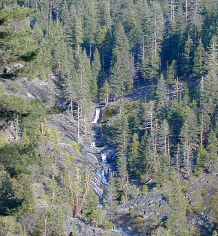
    waterfalls Sierra Nevada

    Gold Country California forest & parks –

    Hwy 4 Ebbetts Pass & Hwy 108 Sonora Pass

    Stanislaus National Forest
    Columbia State Park

    Arnold, Columbia, Dardanelle, Jamestown, Long Barn, Mi-Wuk, Murphys, Pinecrest, Sonora, Strawberry, Twain Harte

    Sierra Nevada

    Hwy 4 Ebbetts Pass & Hwy 88 Carson Pass, US Hwy 50

    El Dorado National Forest

    Amador City, Bear Valley, Georgetown, Jackson, Kirkwood, Meyers, Placerville

    Sierra Nevada

    Interstate 80 Donner Pass

    Tahoe National Forest

    Alta, Colfax, Foresthill, Grass Valley, Norden, Sierraville, Soda Springs, Tahoe City, Tahoma, Truckee

    Sierra Nevada

    North Hwy 49 Yuba River

    Malakoff Diggins State Park

    Downieville, Nevada City

    red brick alley

    Lily Pad Campground

    Lilypad Campground @ Lake Wishon Reservoir
    Sierra National Forest, California

    The long journey up the mountain into the Sierra National Forest is only for the true adventure seekers. First off, get a good forest map. Second, plan several days if not a full week off of work to explore this region in depth. It is a long drive from most anywhere in California, and this spot is way, way tucked back in there right up against the High Sierra peaks and wildness.

    East of in Fresno, historic village of Clovis is a good lunch stop in route. Drive up mountain on Hwy. 168, turn right at Shaver Lake on to Dinkey Creek Rd. Now you will clock the mileage 28.7 miles to the camp. Drive past McKinley Grove and past Dinkey Creek. Follow signs to Wishon Reservoir. This campground is located adjacent to the road before you reach the dam.

    All this travel time will have you asking ‘is it worth it’? The answer is ‘yes’….. if you want an uncrowded lake with plenty of wilderness surrounding you. Granite rock and forest all around. Lake Wishon is a hydroelectric reservoir operated by PG&E

    Lily Pad Campground

    Central Sierra Camping – Wishon Lake

    High Sierra Rangers Office: 559-855-5355

    • Elevation: 6,500′
    • Number of Sites: 15
    • Camping Reservations: No
    • Sites Available: First come, First serve
    • Vehicle Accessibility: 35′ limit on RVs & trailers
    • Length of Stay: 14 Days
    • Toilet: Vault
    • Water: Piped
    • Season: Closed in Winter Snow
    • Fee: Yes

    camp sites at lake

    Large granite boulder coves provide cubby-hole privacy w/ shady trees and well spaced camp sites. Very unique design with paved driveways, adequate for handicapped camping with some sites with better access than others. 4 camp sites are considered walk-in sites.

    Lake views from camps are only a mere climb up to the top of the nearest granite, which will show you just how close you are sleeping to the big water.

    As with any Sierra location, holiday and summer weekends are the most busy. Tourists, family campers and RVers are all out enjoying the sunshine. Mid-week camping is good for fishing, relaxing w/ peace and quiet. Off season is best for having the place to yourself.

    Outdoor recreation in the area include – hiking, camping, backpacking, rock climbing, mountaineering, sightseeing, kayaking, canoeing, mountain biking, off-roading, creek fishing, lake fishing.


    Neighboring Wishon Village has a small general store, RV park w/ wifi & boat rentals.