Tag Archives: budget

California Camping River

map river | hiking river | map gorge

California Rivers & River Topo Maps
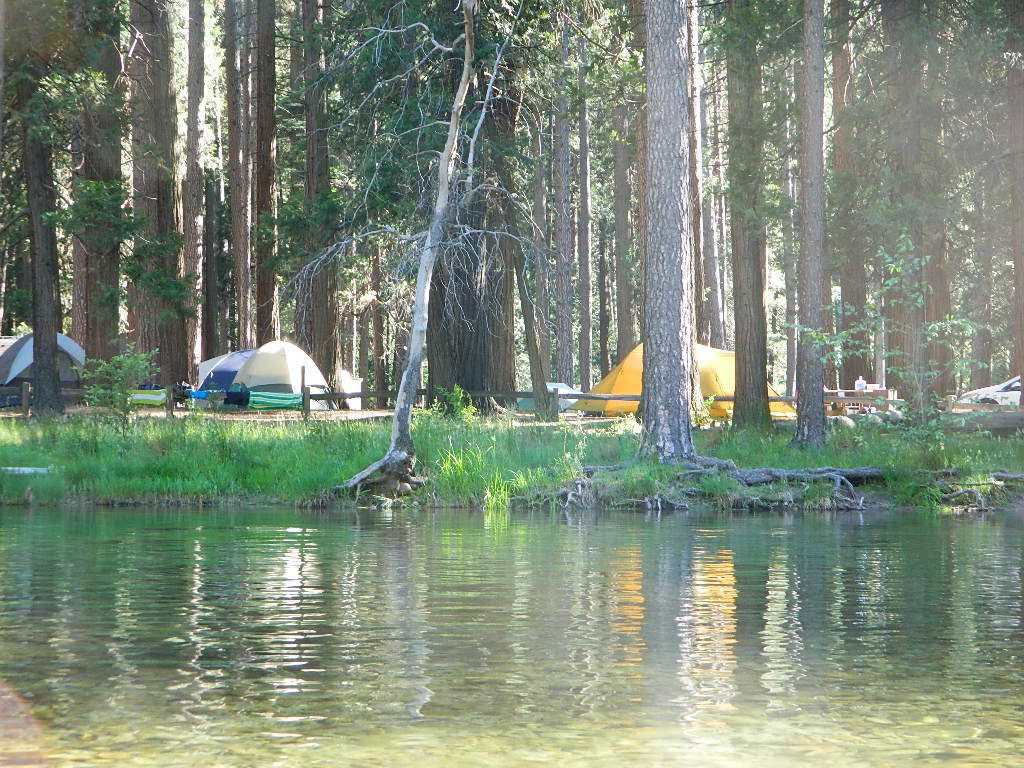
Tent Camp Yosemite Valley

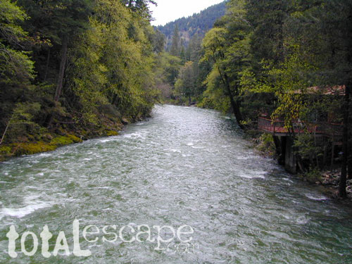
There are many gorgeous rivers in California that are perfect for camping and fishing, but none are located in Southern California. None! Yep, you read that right. If you think about it, the golden state is about half desert! The majority of our natural water in our state is coming from the north – so take this as a warning: you might need to drive a few hours to find your ideal river camp.

The easy-to-access waterways are found mostly along highways in the Sierra Nevada – or way up in NorCal. Deep granite gorges carved out by glaciers, surrounded by forested peaks is only half the appeal. High elevation lakes, waterfalls, big trees, abundant wildlife, and the alpine villages are all part of the Sierra Nevada experience.  Raft, kayak, fly fish, hike, bike or just camp out next to a big, rushing, flowing river. Our selection of California maps will get you narrowed down to a specific region, so you can find that perfect river campground, or explore and discover the back roads – for the most seclusion.

NorCal Rivers:
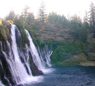
Burney Falls
Burney Falls, is part of the Pit River

EEL RIVER
KLAMATH RIVER
Klamath NF Map
MAD RIVER – NFS Campground
MATTOLE RIVER
McCLOUD RIVER

NAPA RIVER
NAVARRO RIVER
NEW RIVER
NOYO RIVER
PIT RIVER
RUSSIAN RIVER
SACRAMENTO RIVER CAMPING
SALMON RIVER
6 RIVERS NATIONAL FOREST MAP
SMITH RIVER
TRINITY RIVER
VAN DUZEN RIVER
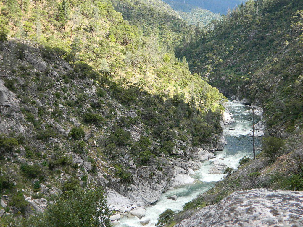
MiddleForkFeather
Middle Fork of Feather River, Berry Creek, CA

Sierra Nevada Rivers:

AMERICAN RIVER
AMERICAN RIVER – El Dorado NF Map
CONSUMNES RIVER – Stanislaus NF Map

FEATHER RIVER
FEATHER RIVER Recreation Map
FEATHER RIVER – Plumas NF Map
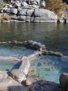
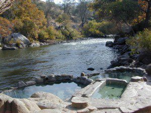
Kern River Hot Tub
Kern River Hot Tub

KAWEAH RIVER – Sequoia
KERN RIVER CAMPING
KERN RIVER – Sequoia
KINGS RIVER California
KINGS RIVER CAMPING
KINGS RIVER – Sequoia Kings Canyon Map
KINGS CANYON NP
MERCED RIVER – Sierra
MERCED RIVER – Yosemite Map
MOKELUMNE RIVER – El Dorado NF Map
OWENS RIVER – Inyo NF Map
SAN JOAQUIN RIVER – Sierra
SOUTH YUBA RIVER Recreation Map
STANISLAUS RIVER – Sonora Pass
STANISLAUS RIVER – Stanislaus NF Map
SUSAN RIVER – Lassen
TULE RIVER – Sequoia

YUBA RIVER – North Gold Country
YUBA RIVER – Tahoe NF Map

Central Coast Rivers:

BIG SUR RIVER
SALINAS RIVER

SoCal Rivers:

COLORADO RIVER CAMPING
Colorado River Jet Ski
LAKE HAVASU
LAKE MEAD (NV) Recreation Map
LAKE MOHAVE

SANTA YNEZ RIVER @ Lake Cachuma – Santa Barbara Mountains
SESPE RIVER – more creek than river, Los Padres NF & SESPE WILDERNESS
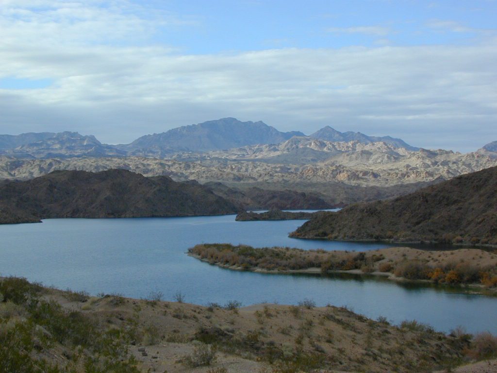
Colorado River California


LOCAL TIPS
River Destinations in California

califrepublic

calmrivers
Lower Kern River – Calm but Dangerous

KERN RIVER: The Kern River is one of the most popular of all the Sierra rivers due to its proximity to SoCal. Hurried, stressed-out, Angelinos (LA) can be at this destination in under 3 hours – which makes it a very busy place most months.

So, let it be told, that summer is not the best time to enjoy the Kern. If you do plan a summer outting, make sure you head for the Upper Kern (10+ mi N of Kernville & Lake Isabella) or the North Fork of the Kern (out in Monache Meadows) where 4×4 is often needed.

The Lower Kern River has only 2 developed campgrounds: Hobo (closed for damage 2019) and Sandy Flat (open all year). Numerous primitive camp spots are available along Old Kern Canyon Rd, which parallels the Hwy 178 on the south side. None of which are located at the rivers edges. Remington Hot Springs is a popular spot for soaking. Fishing trails, mountain biking trails and hiking trails, all over. Fire danger is great in this area, so pay extra close attention to signs and fire restrictions.

Kern River above Lake Isabella and Kernville is a better choice for camping availability.
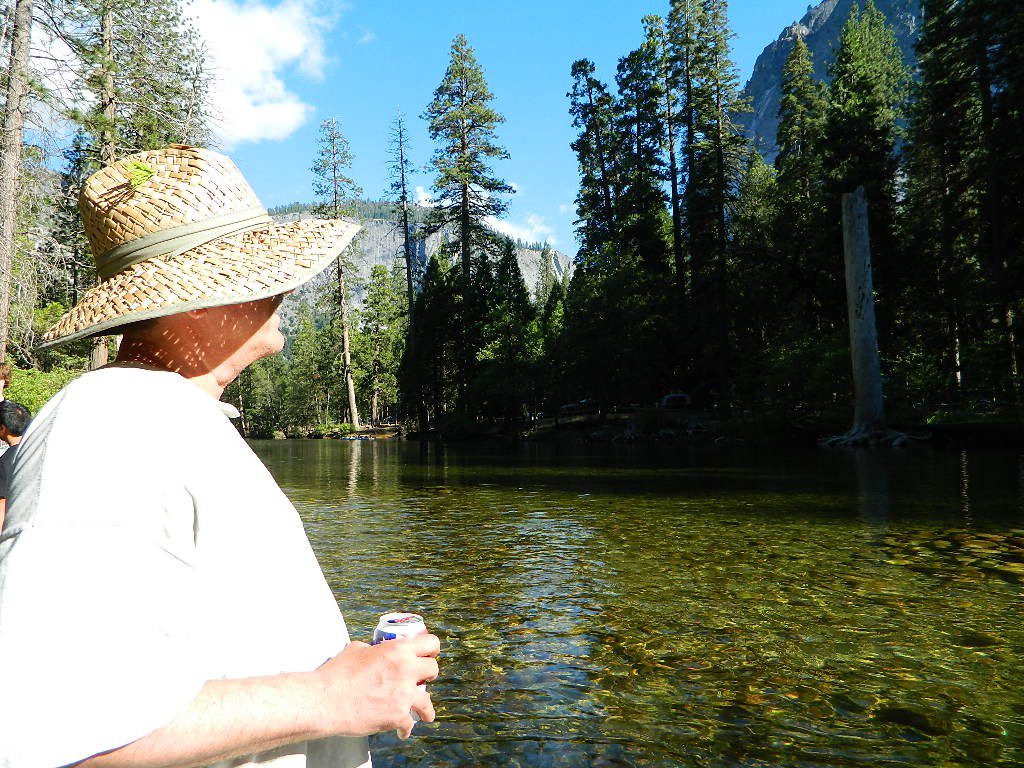
Beer at River

YOSEMITE RIVER: Yosemite National Park –
Merced River & Tuolumne River

NPSEverybody loves Yosemite! This is the most popular park in the whole state; maybe the whole nation.

The majority of campers want to stay “right on the river” when they visit Yosemite NP, but that is just plain old impossible, since reservations go fast and there is only so much room for everyone in this enclosed, narrow, precious valley.

This particular park has some major floods (1997 & 2005) that wiped out bridges, road ways; all the old wooden cabins (at Yosemite Lodge) are gone and only half of the campgrounds are still available. Yosemite has had 11 winter floods since 1916 that have caused substantial damage to property. That number is expected to increase, as winter precipitation is getting less predictable.

Reservations are taken for camping and cabins – far in advance; like one year. No joke!

3 Yosemite Campgrounds are located next to the Merced River (inside spectacular Yosemite Valley)

hikehike

Way up in the Yosemite high country, which is only open a few months outta the year, the beautiful Tuolumne Meadows Campground is located next to lush meadows and the scenic Tuolumne River. All Yosemite campsites must be reserved well in advance, so visit links above – if you are serious about a Yosemite camping trip anytime soon.

check

Mokelumne

MOKELUMNE RIVER: Way up the road, deep in the western Sierra, Gold Country. Small NFS campgrounds, right on the river; Access is long, narrow paved, switch-back road, not suitable for RVs or trailers.

STANISLAUS RIVER: The Sonora Pass, the fishing is very decent way back in this granite gorge. Highway 108 is only open a few months outta the year, due to deep snow & rock slides – so time is of the essence. Summer time is prime vacation weather up here. Several campgrounds are located right on the river, or on the major feeder streams. Or you can opt for secluded primitive camping on the back roads. Find Sonora camping in Stanislaus National Forest.

YUBA RIVER: The biggest play time river in the northern Gold Country, this runs along Hwy 49 near Downieville and also has a major South Fork for the best swimming holes and primitive camping in this region. Tubing, rafting, kayaking, fishing, camping, gold panning, you name it, Yuba has it. Look for more on the South Yuba Recreation Map, or the USDA issued Tahoe National Forest Map

FEATHER RIVER: Top fishing river in the Lassen to Oroville area. Chester and Lake Almanor in the upper reaches. High Bridge Campground is nice paved-camp-site camping; a forested spot where you can fish 2 rivers on the same day. A Plumas NF or Lassen NF map would be quite helpful for this region. Lower down the mountain, lower Feather Rivers which include all 4 forks which feed Lake Oroville – West Fork (Paradise, CA), North Fork, Middle Fork Feather, (Berry Creek, CA) and the South Fork (Lumpkin). Lots of waterways and creeks worth exploring in between Chico and the mountain town of Quincy.

KINGS RIVER: This one particular river is the longest in the Sierra Nevada mountain range, pulling snow melt from the upper reaches of the High Country and Mount Whitney. The river area just to the West of the National Park, over to Pine Flat Reservoir, is all prime for outdoor recreation. Several river rafting companies work this stretch of river.

CAMP FOUR & A HALF CABIN RENTAL
NFS KINGS RIVER
NFSrangers

hikehike

Kings River Rafters

River Beach Campground
Trinity River Camping, Douglas City, CA
riverrunsclear
Sierra Nevada Rivers are the dreams that Summers are made of.


Central Valley Reservoirs

California’s Central Valley Recreational Lakes & Reservoirs

boatingcampingRV campshiking fishing

(listed from north to south)

North State / North Valley / North Sacramento Valleyboatramp

Black Butte Reservoir
Stony Gorge Reservoir
East Park Reservoir
Lake Berryessa
Lake Oroville SRA
Thermalito Afterbay
Thermalito Forebay
New Bullards Bar
Collins Lake

Sunset at the Lake
fishOak foothills of the Historic Gold Country, at the edge of the Sierra Nevada mountains.
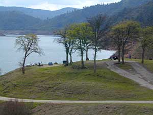
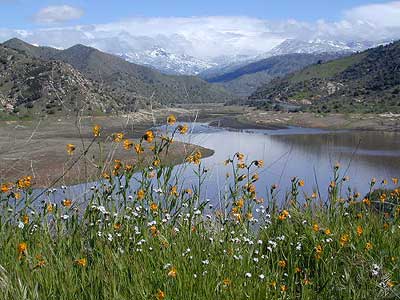
  • boating
  • canoe
  • camping
  • fishing
  • hiking
  • houseboats
  • kayaking
  • wildflowers

Most Central Valley Reservoirs have blooming wildflowers in early springtime. Summer heat can measure triple digits for months as most of these lakes are located below 1000′ elevation.

Central Sacramento & California Delta

Trimmer Boat Ramp
Trimmer Boat Ramp @ Pine Flat

Central Valley / San Joaquin Valley

Lake Amador
Lake Camanche
Pardee Reservoir
New Hogan Lake
New Melones Lake
Woodward Reservoir
Salt Spring Valley Reservoir
Lake Tulloch
Don Pedro Lake
Turlock Lake SRA
Modesto Reservoir
Lake McClure
San Luis Reservoir SRA
Eastman Lake
Hensley Lake
Woodward Reservoir
Millerton Lake SRA
Redinger Lake
Pine Flat Reservoir
Lake Kaweah
Lake Success
Buena Vista Reservoir

Walk-In Camp Site at Lake
Walk-In Camp Site at New Melones Lake, Gold Co

Kaweah Sequoia Sierra
Lake Kaweah, near Mineral King & Southern Sequoia NP

San Diego Camping

Anza Backroads

Cleveland National Forest Camping – San Diego Campgrounds – Desert Camping Anza Borrego – SD County Campgrounds – BLM Campgrounds – San Diego Beach Camping – San Diego Mountains

campground elev spots veg toilet water notes
Bobcat Meadow 3800′ 16 oaks vault no no RVs
Burnt Rancheria 5000′ 100+ pines vault piped Sunrise Hwy
Cibbets Flats 4200′ 23 oaks vault piped Interstate 8
Corral Canyon 3500′ 20 oaks vault piped OHV near I-8
Dripping Springs 1800′ 26 oaks vault piped Hwy 79, E Temecula
El Cariso North 2600′ 24 oaks vault piped small RV
Fry Creek Campground 4900′ 20 oaks vault piped Palomar Mountain
Indian Flats Campground 3600′ 17 oaks vault piped off Hwy 79
Laguna Mountain 5500′ 75 pines vault piped Sunrise Hwy
Palomar SP Campground 7000′ 13 pines vault piped Palomar Mountain

Anza Camping

Anza Borrego Desert Camping & Campgrounds

Desert Mountain Biking Open Camping Stargazing Hiking

San Diego County Campgrounds

Sweetwater Reservoir, Otay Lakes, Agua Caliente, Vallecito
Camping Reservations 877-565-3600 or 858-565-3600

Camping

Bureau of Land Management

San Diego BLM Camping

Lark Canyon, Cottonwood @ McCain Valley near Interstate 8
El Centro Desert OHV, Hot Springs, Colorado River

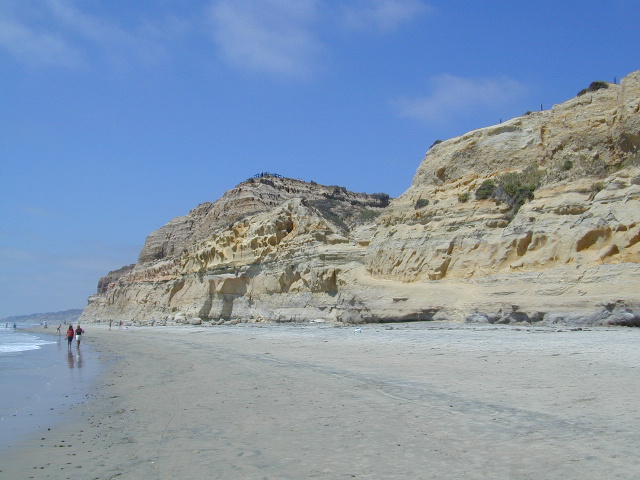
Coastal Cliffs San Diego

San Diego Beach Camping

Coastal Towns with Camping near San Diego –

Chula Vista
Coronado
San Diego
Mission Beach & Bay
Del Mar
Cardiff
Carlsbad
Oceanside

Indian Flats Campground

Indian Flats Campground is located on a dirt road off Hwy 79, near Warner Springs CA. Boulder ridges & manzanita surround this oak filled secluded canyon. Small seasonal creek & waterfall is a short walk from campsite.

Los Coyotes Campground is a tribal camp, located on Hot Spring Mountain in North San Diego County. High desert chaparral, oak groves and boulders.

Free Camping
Anza Borrego Desert by far has the best free camping options available near San Diego.

Maps Mountains / Desert Topo / San Diego Area Maps

Northern California Mountains

Mountains of Northern California / NorCal Mountain

California sure has a lot of mountains. West Coast land is home to the tallest Sierra Nevada range, plus the Cascade range, which extends northwards to Canada. (Many of which have volcanic peaks.)

We break down all the mountainous regions in the north part of the state below w/ links, topo maps, lakes, rivers, wilderness, parks and forests. Small towns & cities are linked in red.

sacramento river
Sacramento River, above Lake Shasta

North Coast Mountains

canoeRedwood forests and rivers are what make up most of the Northwest part of California, just below the Oregon coast. Logging and fishing are the big industries up here. Lumber mill towns and camps still exists today. Wilderness areas, dirt back roads, river kayaking, stream fishing, camping and real wild indians. Oh yeah, and Big Foot!
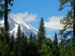
The landscape in more dramatic along the North Coast of California, as the steep rocky terrain tumbles into the sea w/ the San Andreas fault running parallel to the shore. Marine life, rocky shores w/ small towns. Del Norte County & Humboldt County. Wild rainy weather, at least half the year; fog and sun the other half.

Six River National Forest

California towns near Redwoods & Mountains:

NorCal California

the North State

fishThe furthest north is Siskiyou County, which borders the state of Oregon. We have the Klamath River flowing south into California, with plenty of mountain peaks, forests and wilderness. Interstate 5, Highway 3 and Highway 96

Pacific Crest Trail passes through the area and backpacking is common (all year long). Notable spots – Klamath Knot and The Eddy’s. Prominent Mount Shasta is actually situated inside Siskiyou County, not Shasta.

Klamath National Forest

California towns near Klamath Mountains:

NorCal California

shasta

Shasta Trinity Mountains

Giant Mount Shasta is located inside Siskiyou County, and Shasta County & Trinity is everything located to the south of it. Interstate 5, Highway 3 and Highway 299. Recreational lakes, rivers and streams, and off roading trails.hiker

Waterfalls, hot springs, mountain biking and stream fishing can be found within this region. Mining history and museums are primarily situated around Weaverville. Houseboats and boat rentals can be found on the big reservoirs. Whiskeytown was totally toasted in wildfire of 2018. Alpine lakes, granite spires, campgrounds and cavern tours, all located along the Interstate 5 corridor.

Shasta Trinity National Forest

California towns near Trinity Alps & Shasta Forest:

Lee Fong Park
Beautiful park setting @ Lee Fong Park, in historic Weaverville, CA
River Beach Campground
Trinity River Camping, Douglas City, CA

Mendocino Mountains

dirtbikesCoastal mountains located above the Napa & Sonoma wine country. US 101 & Highway 20. Rivers, forests, wilderness and redwoods is the key terrain that make up the Mendocino County mountains.
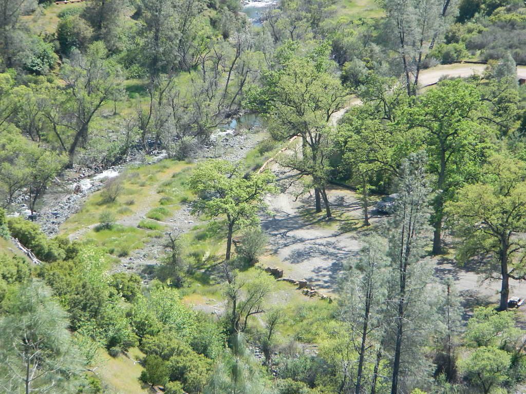
There is a fair amount of off road trails and dirt roads located in and around Mendocino, so you can expect to see 4x4s, dirt bikes and toy haulers on the east side of the mountain range. The coastal side of the Mendo National Forest will have the rivers and redwood parks.

Mendocino National Forest

California towns near Mendocino Mountains:

Spring Fouts Mendo
Fouts Springs Camping OHV

Plumas Mountains

pctNorthern Sierra Nevada mountains is where the granite rock of the Sierra meets to volcanic rock of Lassen Volcano.  Butte County and Plumas County is the Feather River drainage, all flowing south from Mount Lassen.
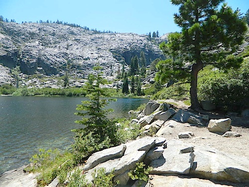
Pacific Crest Trail is routed through Bucks Lake Wilderness and the Feather River Canyon, so backpacking is popular. Highway 70

Plumas National Forest

California towns around the Plumas Mountains:

goldshore
Mini Gold Lake, near Silver Lake @ Bucks

Lassen Mountains

snowmoTechnically speaking, the Susan River is the top waterway of the Sierra Nevada mountains. Lassen County spans the distance from the Nevada state line, west to Plumas forest and the Feather Rivers (all 4 forks).
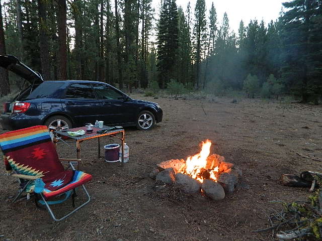
Lassen Peak is the middle of the National Park and the National Forest totally surrounds that. Numerous lakes, hiking trails, wilderness areas and dirt roads make up this huge forested area. Snow-mobiling is popular in winter months around the town of Chester.

Lassen National Forest

California towns around the Lassen Mountains:

nlassen
Camping N Lassen

Northeast California

The far northeast corner of the golden state is the remote cattle range lands of Modoc Country inside Modoc County. Drier than the rest of NorCal, the high desert sage brush meadows, a few lakes and pine forest mountains. Highway 299 & US 395

Modoc National Forest

California towns near Modoc Mountains:

mill creek falls
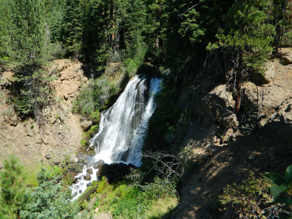
Mill Creek Falls in Modoc

Camp Fires Correctly

desert bonfires
Deserts & beaches are the only places for bonfires.

kill your television

Camp Fires
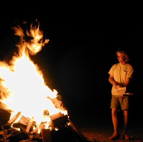
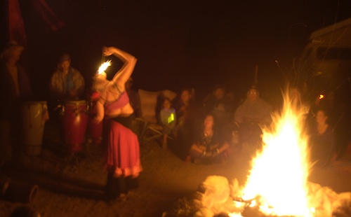
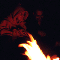
The heat source, the light source, the cook source, the sock drier, the night supplier, the outdoor LIVING ROOM. The campfire is the center stage for all entertainment, dining, drinking, music, true tales and ghost stories alike.

Since the beginning of time humans have gathered around the campfire at dark. This nightly ritual is built into us on the deepest level. We miss this today. We miss the real conversations, the community, the bonding, the stories, the soul searching. We miss the connection with nature, the fresh air and the great outdoors. The night sky filled with stars and maybe a meteor shower, a hot drink and the glow of the campfire coals. Enjoying the wilderness requires certain skills. FIRE is only ONE skill – for survival, for cooking, for warmth, for safety.

Total Escape is dedicated to those who yearn to camp, often.

In Certain Circles
photo – Charlie Sweeney 2010

Some folks cannot imagine camping without a campfire, but we better get used to it here on the West Coast. Weather patterns swing from years of super-dry drought to deluge and drenching – as we’ve seen of recent in California. Dry conditions means high wildfire dangers, tight camp stove and strict campfire restrictions.

Each California region, National Forests and State Parks have their own fire restrictions, so call ahead to rangers for current fire conditions on the place you wish to visit. Certain mountain locations will ban fires in the back country, fires on the back roads and sometimes in extreme conditions, no fires allowed even inside a developed campground.

Campfire Basics
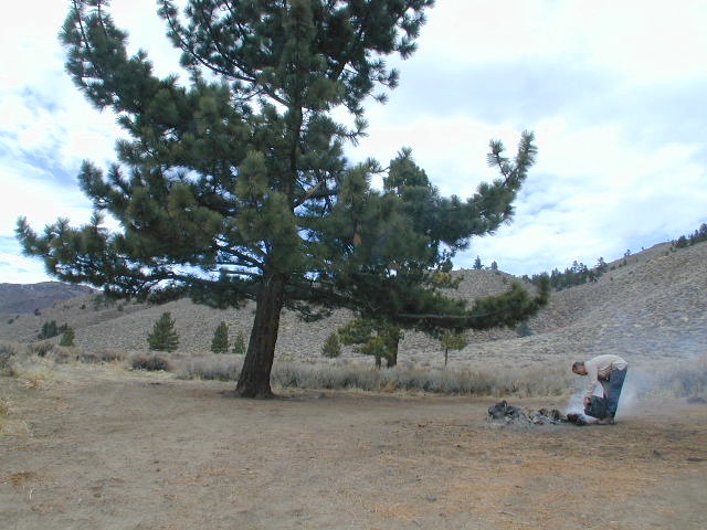
Sagebrush could be cleared back another few feet, at least.

Campfire Restrictions

fire

California is well known for its unforgiving drought conditions and its seasonal wildfire danger. Always know the fire conditions in the area you plan to camp. Most Southern California regions have banned ‘open campfires’ in forested areas, due to wildfire threat and population density. Call ahead to get an update on road closures and current campfire restrictions. Find California BLM offices & NFS ranger stations

rockfirering

Campfire Permits

If you plan on camping outside of a developed campground, you will need to get a free “camp fire permit”, which can be obtained at the local rangers office.

Find more on FREE camp fire permits

DSCN3700

California Camp Fires

  • RULE # 1 – Never leave a campfire unattended
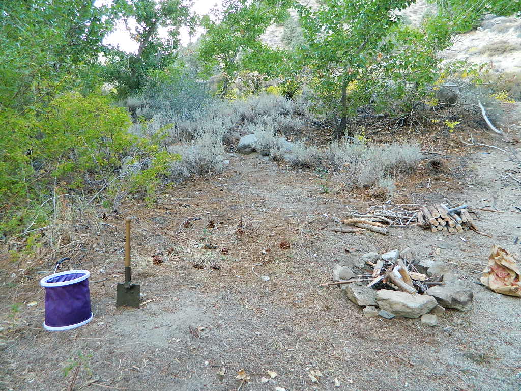
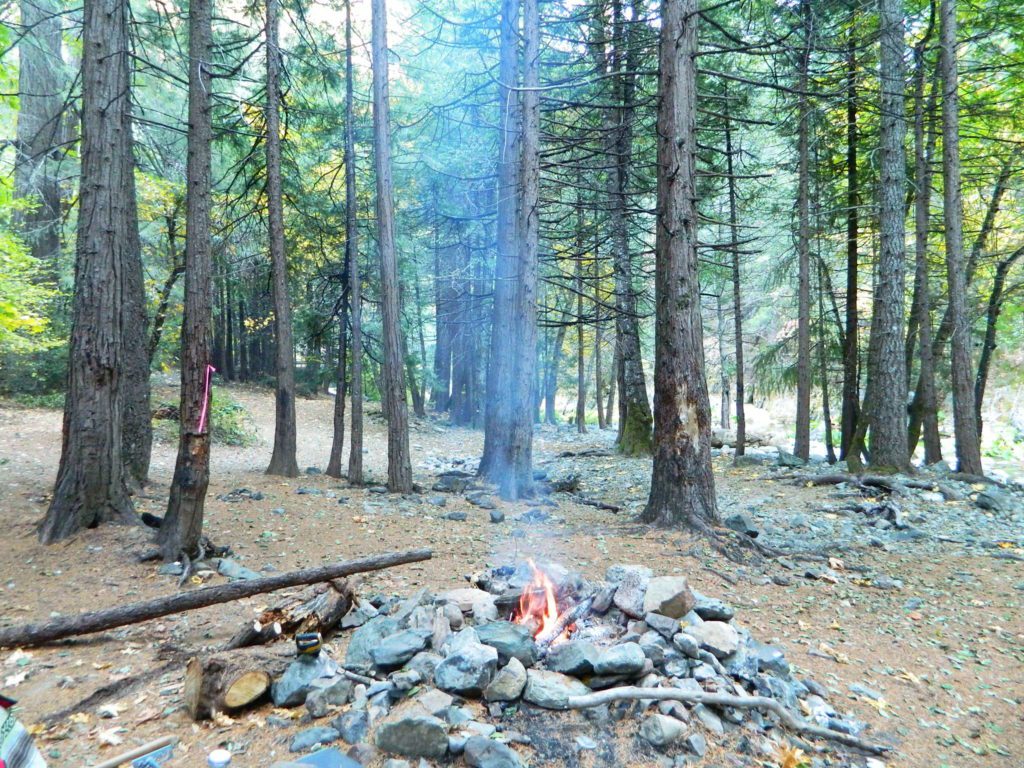
  • Build campfires in designated rings. Always try to use an existing ring when possible. If you must build a new rock fire ring, follow the guide on FireSafe
  • You will need water source & bucket, plus a decent shovel for building, maintaining and controlling a campfire. BRING enough water & tools with you to control a fire.
  • A ten foot clearance – all around, down to the bare dirt is the best practice. No brush close to the ring, no bushes, no leaves or pine needles. No dry over-hanging tree branches.
  • You might need to clean trash out of the fire pit, so bring heavy duty trash bags, or a spare old box. Shovel comes in handy here.
  • Kindling is key to getting a good fire going fast, so gather more of the small stuff. Wood gathering away from camp is usually better pickens.
  • Use environmentally friendly fire starters (with damp wood, if you must); not the BBQ lighter fluid or gasoline
  • Building fires up against a big boulder scars them w/ black soot, and although it can reflect heat back to you, it is seldom worth the unsightly damage
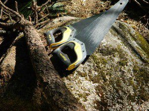
  • Bring chainsaws or hand saws for cutting your own campfire wood in the forest
  • Gathering wood for fuel — use only dead and down wood
  • A ranger issued “wood cutting permit” is required if you plan on cutting a full cord
  • Firewood page – buying locally, in California
  • Never burn plastics, batteries or other toxic materials in campfires
  • Tossing beer bottle caps into a campfire only litters site for future campers
  • While glass bottle smelting is a real treat among boys at night, which one is actually gonna get their hands dirty & clean up broken glass out of the campfire the following morning?
  • Do not leave any hot coals during the day (if you are away from camp). Winds could pick up.
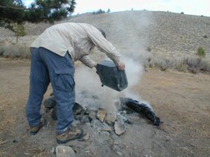
  • Always douse campfire with water completely when breaking camp. Stir it, feel for heat, and drown it more if you hear sizzling or see bubbling.
  • Read more wild fire / campfire info on our FireSafe page

Drown Fires

Last Final Step
The Final Step of Breaking Camp

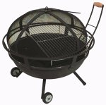
Campfire Pits & Fire Containers

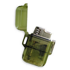
Stormproof LIghters
Stormproof Lighters

duskatblue

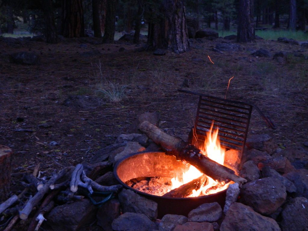
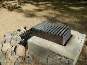
Developed Campgrounds offer sturdy, permanent, metal campfire pits. Many have adjustable grills built in.nlassenPrimitive Camping is allowed in National Forests throughout California. Campfire permits are required. This style of camping is more peaceful and secluded, without neighbors, without fees and without amenities (no table, no fire ring, no toilet)

leftovers

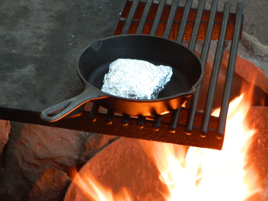
Cast Iron and a Campfire (no fuel cost, no stove needed)

Dirt Cheap Camping

Rustic Camping California

Budget Outdoor Adventures

Campfire Nights

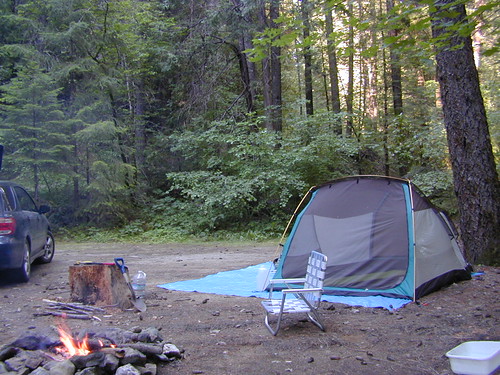
Camping is so inexpensive for the sheer entertainment factor. Reconnecting with nature can be so rewarding and good for your health. Sleeping outside doesn’t need to cost anything really. Stargazing, campfires, and listening to the wildlife are all still free.

Outdoor Gear – these purchases will be the most expensive part of your trip, but you’ll be able to use this same gear for decades of travel exploring the outdoors.

Coyote Canyon

A whole weekend for under $100, seriously?

camping expense chart below for approximate cost per person for 2-day weekend

gasoline $50 depending on destination & your gas mileage
firewood $10 cheaper when bought in larger quantities
(bring hand saw for free wood in forest)
campgrounds $20 find cheap BLM campground, or hit up the primitive camp areas
to avoid all campground cost
food $20 can’t count this expense
(you would eat groceries at home anyway)

Free Firewood

Camping Free

Taylorsville Campground

northvalleycurves

Taylorsville Campground

at Indian Valley, Northern Sierra Nevada mountainscampfire

also known as –
Taylorsville County Campground
Taylorsville Community Campground
Taylorsville Park Campground
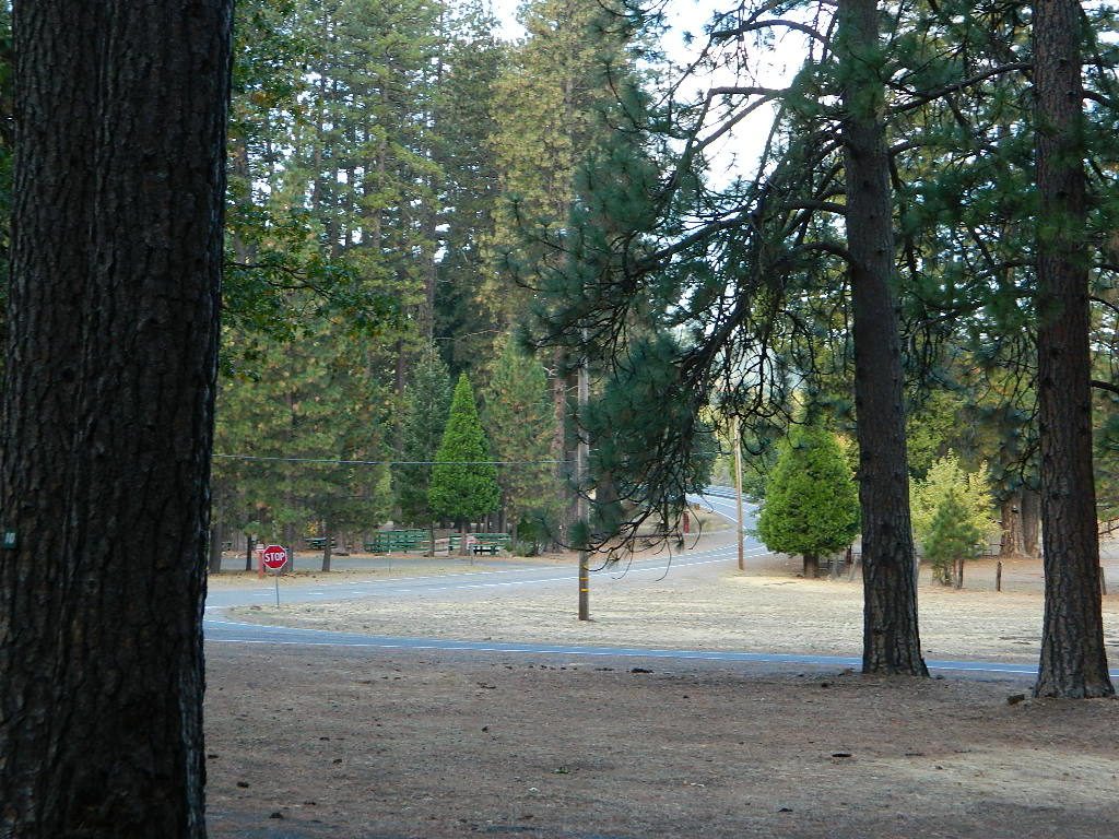
sepiacampBeautiful North Sierra Nevada. The rural country life is out here… in the mountains of NorthernCal. Cattle ranches, a few sheep, grazing deer, big old barns, bike races and much residential. Taylorsville is a very small town, on the edge of the Indian Valley. Right across the valley from Greenville and Round Valley Reservoir.

All surrounded by Plumas National Forest

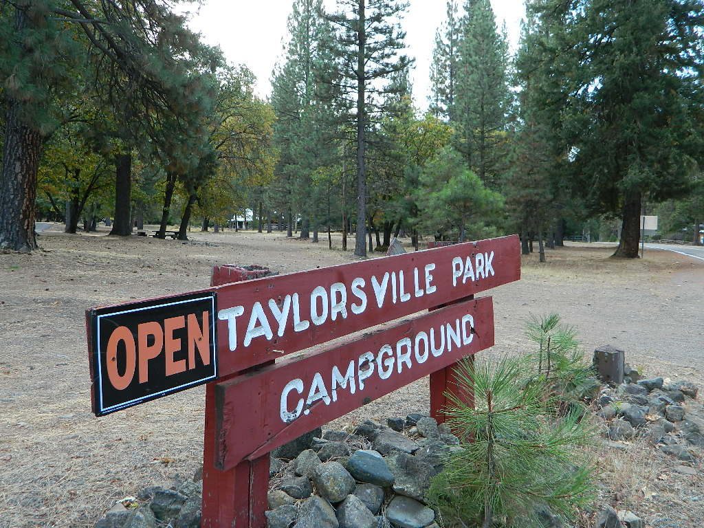
campTaylorsville Park Campground

elevation: 3200′
camp sites: 32
piped water near camp: yes
toilets: flush
showers: yes
fee: yes
season: May-October

walktotown
Easy Walk to Town – Taylorsville, CA

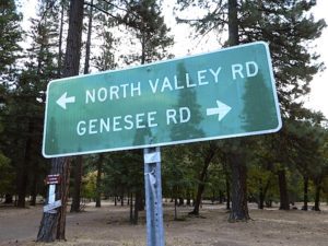
The wooded campground is located at the intersection of North Valley Road, Genesee Rd and Arlington Rd –  a few miles off the main highway 89.

Looking for a quiet place to tent camp in between Quincy & Greenville? then this is it. The best developed campground option in the whole region. Closed for winter months – cuz it does snow pretty good up here.

grillsurface

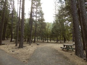
This shaded tent campground loop is on a hillside; across the street from the small rodeo grounds, the community park w/ picnic areas, tennis courts and a small RV park. Campground host located behind the bathrooms.
Nearest local laundromat in nearby Greenville, behind the main grocery market.

showers

bathing… would be nice

Flush toilets and showers, affordable overnight prices, plus ideal walking-hiking-biking location make this a special campground worth mentioning!

  • walk to townhiker
  • mountain biking
  • cycling
  • hiking
  • tennis

taylorsvillecamp

towns nearby:fish

maps of the region:


northvalleyrd600


Campgrounds Beach

California Campgrounds –
Camping at the Beach

Costal Cliffs

Autumn and Spring are often the best months to enjoy the (somewhat) uncrowded coastline of California. Kids are in school, summer vacation rush is over, and there is plenty of sunshine before those winter storms come rolling in.

reservations are highly recommended

Anything & any place along the coast is “much desired”, worthy of charging for. From seaside restaurants to convenient, paid parking lots – face it – California can be expensive.

Beach camping is no different. Coast camping in California is abundant, but state run campgrounds will run you a pretty penny. Camping fees are well above $20 per night. If you want flush toilets in the bathroom and a level, paved spot for a big RV, it will cost even more. Make sure to reserve a campsite as far ahead as possible. Ask about off-season months to visit.

Privately run campgrounds are often more expensive, but they might be a nicer facility and be in a better location. If you want free camping, then head to the northern part of the state – and take a dirt road to reach your seclusion. Both the Big Sur and Lost Coast both have excellent dispersed camping on backroads, at no charge, and a campfire permit is required for such camping.

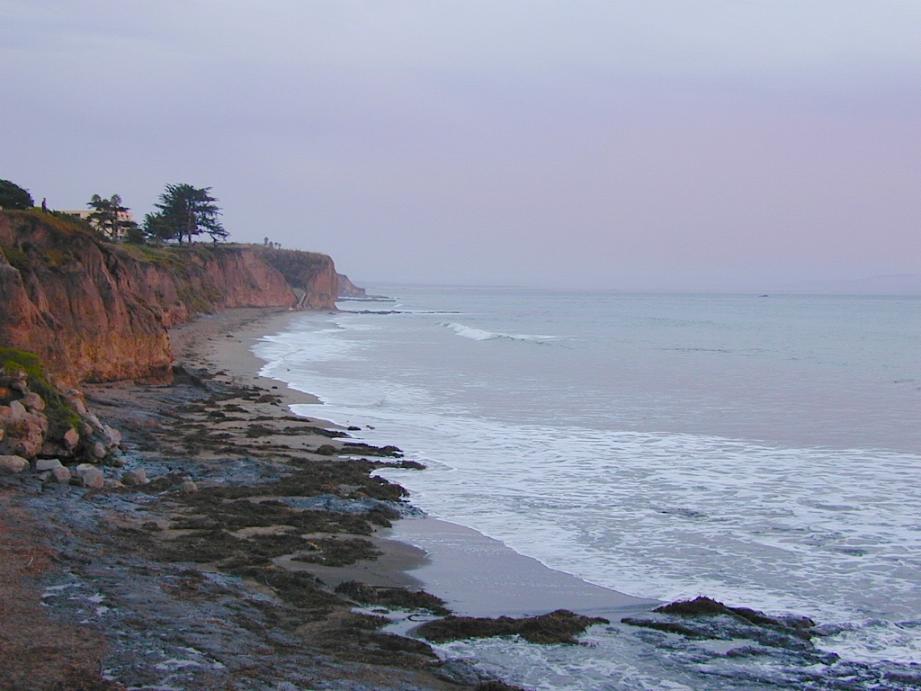
Campgrounds situated on a sandy beach or right on a cliff edge overlooking the ocean. Private cove camp sites, tent cabin rentals, yurt resorts, RV campgrounds; Several coastal canyons (from sycamores to redwoods) usually have creeks and abundant camping options.

Pismo Clear Winter Day

Campgrounds Beach: a popular search phrase for camping near the coast in California. The best months to camp along the coast depends on what part of California you wish to visit – at what time of the year.

With 700 miles of ocean front there is a lot to choose from – RV parks w/ small marina, 4×4 camps, hike-in only sites, and plenty of California State Parks & Beaches.

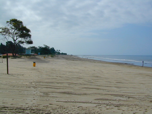
Much of the coastal camping is NOT “on-the-sand” beach camping. Most of the coastline in California is rugged, some forested and usually full of ‘wildfire prone’ chaparral. Cliffside campgrounds, redwood canyons with creeks, green grassy lawns w/ shade trees and paved camp sites, US 101 busy, freeway campgrounds; all are close enough to the shore to be considered COASTAL camping.

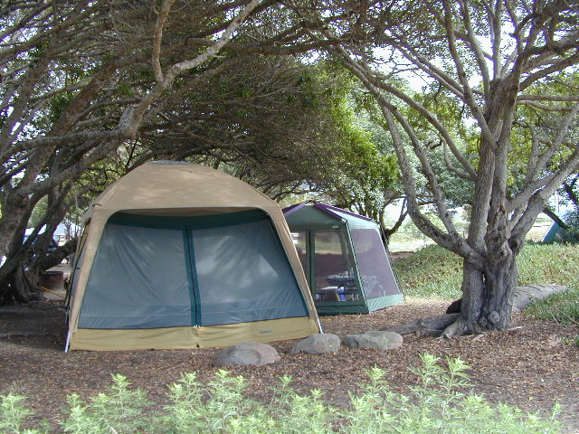
Tents at Capinteria
Tents at Capinteria SB

Even in winter, the coast can be quite mild in Southern Cal, so the campgrounds are open all year long. NorCal Coast gets the brunt of WET & COLD winter weather, so those camps are open seasonally, during warmer, drier months (APRIL-OCT).

JUNE GLOOM is a cloud layer that covers the coastline in the early part of summer. Weather is warm to cool with clouds, or the weather can be bright and sunny – if the marine layer ‘burns off’ by mid-day. Consider these local weather patterns, May Gray & June Gloom, when planning a vacation to the beaches of California.

listed from south to north

Southern California Beach Camping

Coronado Island
San Diego Beach Camping
Encinitas
Carlsbad
Orange County Beach Camping
San Clemente
Dana Point
Laguna Beach

carpinteriabeach

carpfirewood

Los Angeles Beach Camping

Bolsa Chica State Beach
Capinteria SB
Doheny State Beach
Malibu Creek State Park
Ventura Coast Camping

Coast Campgrounds


Central Coast Beach Camping

Santa Barbara Beach Camping
Pismo Beach Camping
Morro Bay Camping
Big Sur Campground

marina

Monterey Bay Camping

Monterey Bay Camping
Half Moon Bay
Santa Cruz Camping
Santa Cruz Redwoods

Angel Island

San Francisco Camping

Point Reyes Camping
Marin Redwoods Camping
Sonoma Coast – Camping Jenner

Northern California Coast Camping

Mendocino Coast
Kings Range
Lost Coast: Shelter Cove
Usal Beach Campground
NorCal Redwoods Camping
Crescent City Camping

Stairwell to Beach


Sacramento River Camping

The Sacramento River of Northern California

The main artery from the North; the Big River of California

Sac River California

Mighty Mount Shasta snowmelt flows south, bound to meet the giant Lake Shasta, which merges with the Pit River and numerous other major waterways, becoming the big Sacramento River. Running right down the center of the North Sacramento Valley to merge into the California Delta. Shipping channel links the State Capital city of Sacramento with the San Francisco Bay and the Pacific Ocean. Agriculture and wildlife depend on this river heavily.

tent camping camp sites, campground camping, RV camps, dump stations, marinas, bait, gasoline, public boat ramps, boating, fishing, kayak rentals

Redding Winters

CAMPGROUND PARKS below listed from NORTH to SOUTH

JGW RV Park
Riverland Drive
South Redding, CA

Sacramento River RV Park
Riverland Drive
South Redding, CA

Wildlife Refuge
Sacramento River National Wildlife Refuge
Willows, CA
~ Camping is not permitted on the Sacramento NWR. Along the Sacramento River, camping is permitted on GRAVEL BARS for up to 7 days during a 30 day period. For waterfowl hunting, overnight stay is permitted in a vehicle or RV in designated areas. Tents are prohibited. No person may build or maintain fires except in portable gas stoves.

Orchards

Chico Area

Lake Red Bluff Recreation Area
Red Bluff, CA

Driftwood RV & Fishing Resort
@ Mill Creek Park
Los Molinos, CA

Hidden Harbor Marina & RV Park
Los Molinos, CA

River’s Rest Resort
Los Molinos, CA

Woodson Bridge RV Park
Corning, CA

State Parks
Woodson Bridge State Recreation Area
Historic State Park w/ Campground
South Avenue (A9)
Corning, CA

Bidwell-Sacramento River State Park
Chico, CA

Colusa Landing & RV
Butte Slough Road
Colusa, CA

State Parks
Colusa-Sacramento River State Recreation Area
Colusa SRA Camping

Camping Colusa
Tent Camping Colusa SRA

California Delta Region

State Parks
Brannan Island State Park
Rio Vista, CA

Sandy Beach Solano County Park
2333 Beach Drive
Rio Vista, CA

Vieira’s Resort
California Delta
Isleton, CA

State Parks
Old Sacramento State Historic Park
Downtown
Sacramento, CA

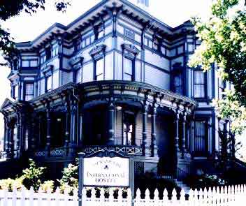
Sacramento Hostel, see more budget lodging

Mono Lake California

The Great Basin meets California, at the Eastern Sierra Nevada Mountains

Navy Beach, Mono Lake

Mono Lake


elevation: 6383′
Eastern California
US Hwy 395 @ CA SR 120

East of Yosemite NP
Lee Vining, CA

Mono Lake

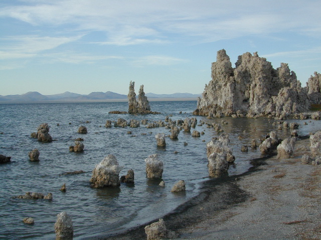
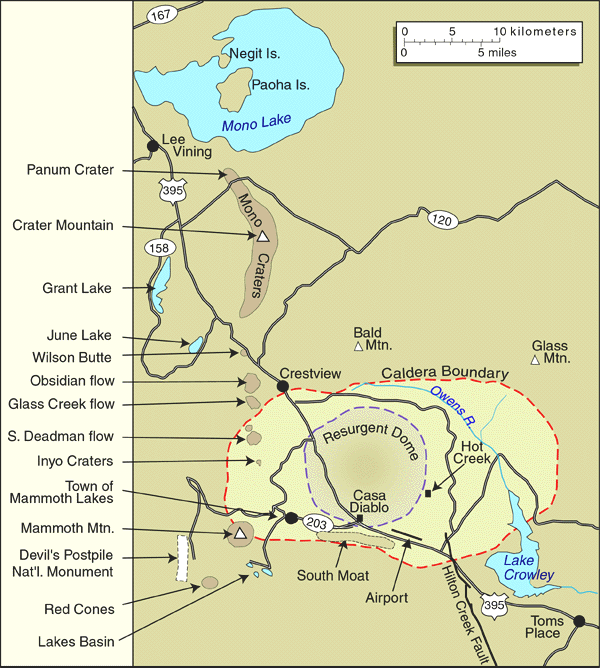
Rumor has it this lake basin could be the ancient super volcano of the region. MonoLake is located on the north end of the Long Valley Caldera, a volcanic ridge which stretches down to Bishop and parallels Mammoth Mountain & US 395.

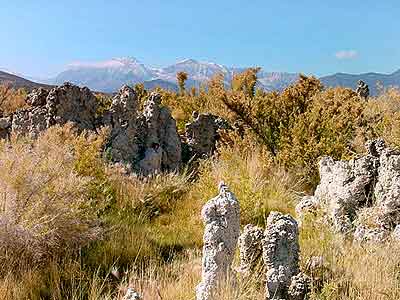
Huge shallow lake with a very turbulent history. Signs and plaques throughout the lake shore give info on ancient history of the lake, the wildlife, and regional detail. Majestic views of the Sierra Mountains, with sparse vegetation, lunar type landscape. Eerie with storm clouds; Beware of bad weather. Kayakers love this lake too!

Sierra Nevada backdrop

Canoeing
Hiking
Hot Springs
Kayaking
Picnic
Primitive Hot Springs
Stargazing
Volcanic Landscape

Mono Lake Camping

Camping is closeby, but not located on the fragile lakeshore.
open camping
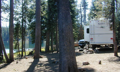
Dispersed camping (FREE) is allowed in Mono Basin National Forest Scenic Area, the region that surrounds the Tufa State Natural Reserve. Campfire permits are required. Contact the park listed below for all the details on the camping policy.

campgrounds
Camps include National Forest Campgrounds in Lee Vining Canyon (8 miles), June Lake Loop (15 mi), Lundy Lake (12 mi). Private RV parks can be found in nearby Lee Vining and further south, at Lake Crowley.

[PDF download]
Camping In The Mono Basin
by LeeVining.com

Inyo National Forest USDA
Camping Mono Lake Ranger District

local links:

Mono Lake Tufa State Natural Reserve
California State Park
760-647-6331

Mono County Tourism
MonoCounty.org

760-924-3699

Mono Lake Committee
MonoLake.org

Bookstore @ 3rd, Lee Vining
760-647-6595

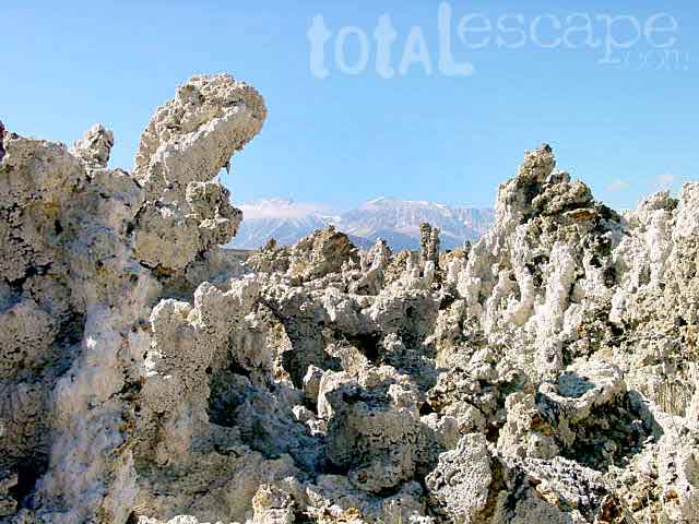
Tufa Towers

nearby interests:

Yosemite National Park
Inyo National Forest
Toiyabe National Forest
Benton Hot Springs
Bodie Ghost Town
Convict Lake
Mono Craters – Panum Crater & Crater Mountain
Long Valley Caldera
Lundy Lake
California Aspen Groves
Autumn Colors Camping

Long Valley Craters Mono Lake
Long Valley Caldera Craters near Mono Lake

regional maps:

Tom Harrison Mono Lake Map

NatGeo Mammoth Lakes & Mono Map

Inyo National Forest USDA Map

Ansel Adams Wilderness Maps

nearby towns w/ lodging:

Benton Hot Springs
Bridgeport, CA
Lee Vining, CA
June Lake, CA
Mammoth Lakes, CA


View Larger Map

Campground Lakes

RV California / Campground Lakes / Camping Lake

RV lake Camping

Wanna vacation near a lake this season? So does everyone else in California.

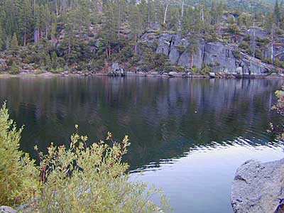
“Mountains” & “lakes” are the top camping destinations sought by most web surfers. Be prepared to search for your ultimate lake side camp. Summertime is prime time at all water sources, so make your reservations, or better yet – find a secluded lake all to yourself. (4×4 may be required).

boating marina camping RV Camp boating

Lakes area recreation & camping sites in California

granite domes


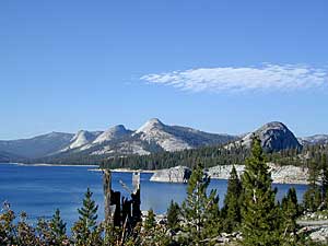
Sierra Nevada Lakes

Kern River Hot Springs

Kern Hot Springs

Kern River Hot Tub

From Lake Isabella down to Bako, along Hwy 178, numerous natural hot springs can be found in this lower Kern river canyon. Old Kern Canyon Road has plenty of primitive spots to camp along the road, way above the Kern River. This Southern Sierra Nevada scenic route, a 20 mi winding narrow paved road, is the old highway that leads up to Bodfish CA.

At least a dozen dispersed camp sites can be found along the Old Kern Cyn Rd, some spots with views over canyon, some hidden & shady, many spots are level & large – suitable for RVs. No facilities, no fees, just a flat, dispersed site. Campfire permits are required for fires outside of developed Campgrounds & fire restrictions are often high, so no fires are allowed much of the year. Most of the gates on the Lower Kern are now locked & only accessible by Forest Service personnel, ranchers or local rafting companies with permits.

2 developed Lower Kern Campgrounds are located on the Old Kern Canyon Road, which parallels the 4 lane portion of the highway: Hobo Campground & Sandy Flat Campgrounds, if you really need a picnic table & bathroom. You can reserve camps by clicking the links.

Miracle Hot Springs – next to Hobo Campground. This hot tub park is closed for good. A few portable bathrooms, picnic tables & trash bins, the hiking trails clear; 2 shallow pools partially filled. Maybe enough room to soak your butt, but not fully submerse yourself. Someone really needs to renovate this place! Update 2012 – the signs for Miracle are now completely gone.

Remington Hot Springs

This one is by far the most popular now that Miracle is gone. The hike-in only access doesn’t deter people much and many choose to set camp overnight close by. The local authorities are always making the rounds to double check on the area – which is good for security and bad for the 2 AM party animals.

Kern recreation

Democrat Hot Springs

private resort now open? Heck, I dunno. (2017, democrathotsprings.com is down. They might be trying to promote a River Festival held in May.)

The hotel and cottages were constructed to accommodate guests that came in stage coaches to dine and relax during the early 1900’s. Five springs on the property flow at 115 degrees into large soaking tubs and a swimming pool. Closed to the public for more than thirty years, the resort is once again ready to be brought to life for groups and private events only.

Kern recreation

The hot springs listed below are Private Property, so don’t get caught – and don’t get shot:

Delonegha Hot Springs

Concrete tubs were built by homesteaders, later a hotel and boarding house were constructed. Stage coaches from the San Joaquin Valley took 2 days to get visitors to this area. The hotel closed in 1912, when more accessible areas of Democrat and Hobo were built. Remaining cement tubs run along a rock peninsula overlooking the Kern River; water temperatures average 112 degrees. This private property is fenced.

Scovern Hot Springs

Also known as the Hot Springs House. 1902 mud baths were being offered and the wooden tubs were replaced by galvanized tubs. A swimming pool and bath houses were added when the Scoverns bought the property in 1929. Bath house burned to the ground in 1971 and only a vacant lot remains. Steam can still be seen in the fields across from the springs, where water runs at 140 gallons a minute @ 115 degrees.


NEARBY TOWNS –

ALTA SIERRA CA

KERNVILLE CA

LAKE ISABELLA CA

WOFFORD HEIGHTS CA

MAP OF THE KERN RIVER –

Sequoia National Forest Map

Kern Hot Springs