Tag Archives: day hike

McKinley Sequoia Grove

McKinley Grove

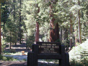
McKinley Grove Big Trees

Sierra National Forest

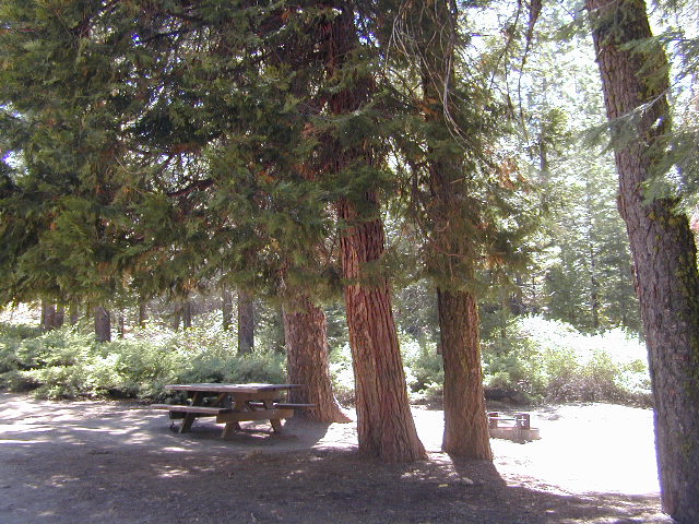
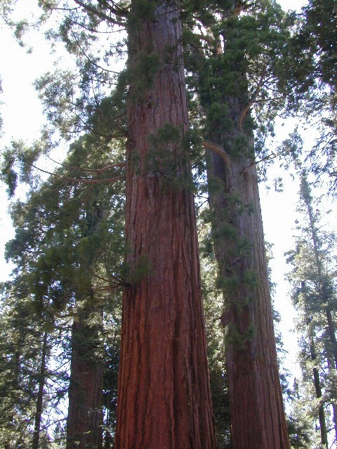
Mc Kinley Grove is a small grouping of Sequoia trees in the Central Sierra Nevada; Located off Hwy 168 & way down Dinkey Creek Road (Sierra Rd #40). deep inside Sierra National Forest, past the Dinkey Creek Campground turn off. It’s a good stretch break and picnic stop on your way to Wishon & Courtright Reservoirs.

Located 17 miles; East of Shaver Lake CA

McKInley Sequoia

camp

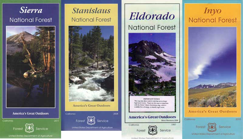
Sierra National Forest Map USDA

closest campgrounds –

hikes


nearby destinations –

NFS

local rangers:

Sierra National Forest
High Sierra Ranger District
29688 Auberry Rd
Prather, CA 93651
559-855-5355

Sequoia campsite


1S23 – Inyo NF

inyoroad1S23

Inyo Forest Rd #1S23

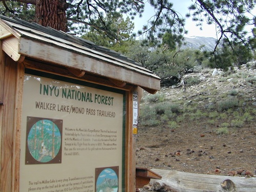
Walker Lake & Mono Pass
Bloody Canyon Trailhead

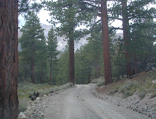
North of June Lake Loop, off of Road #1N17

also known as Little Walker Lake trailhead

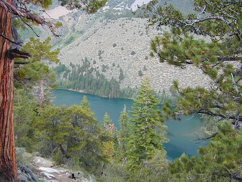
1 mile walk downhill to Walker Lake; very steep trail with 800′ elevation decent.
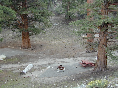
Vault toilet & one campsite at parking lot.

trailheadcamp

Trailhead camp for backpackers who arrive late. Nearby Parker Creek offers more in the line of free camping, more creeks, private setting.

Slim pickins on campsites, means have a plan B or C ready in case these few ideal canyons are full. Minimal camping spots, down on the main drag Road #1N17

Bloody Canyon leads further up the steep ravine to Upper & Lower Sardine Lakes.

walkerlake


Walker TH

Bohler Canyon near #1S19 (locked gate)
private property along some portion of this lake, so be aware of signage

California Camping Maps

California Campground Maps

Maps are the key to finding your very own slice of heaven in the Wilderness. Online map sources can barely get you to your city destination correctly, much less the remote waterfall you desire. You will need a real map for your adventure. A topographical map, with all the details, dirt roads & hiking trails. If you are seeking to stay away from the touristy crowds, this is the best possible place you can be…. on this site, searching for ways to make it happen – this weekend.

BACKPACKERS BACKPACKING MAPS –

maps of California
Mount Whitney, John Muir & way beyond the High Sierra. DanaMite has all the California Wilderness maps on the new map shop. Various brands and types of maps. Most are printed on waterproof plastic now & are tear-resistant.

CAR CAMPING MAPS –

El Dorado Camping
Planning on camping outside of the developed campgrounds & finding that perfect stream side spot without the reservation & the fees? Then you will need a free fire permit (from a ranger station), plus a good map of the forests & a vehicle capable of handling the rugged the back roads. Much of California is prone to wildfires, so make sure campfires are even allowed on the backroads, before you get out there. Call the “field rangers” for back road advice and current recommendations.

CALIFORNIA OFF ROAD MAPS –

Wanna take that 4×4 vehicle somewhere really special this season? Camp well beyond the masses, way down that dirt road. We have OHV maps for SoCal, the deserts & all the National Forest maps too.

CALIF CAMPGROUND MAPS –

Start your search on the perfect campground or camp site with the destination in mind. Mountains, deserts, coastal. Parks & forests all have their own maps with all nearby camp grounds listed. We feature all the National Forest maps, as well as some State Park & National Park maps

See all California topo, hiking, camping maps

Sierra Nevada maps

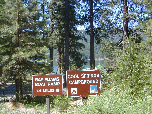
coolsprings

  • California A to Z
  • California Camping
  • California Elevations
  • Camp Firewood
  • Camp Potty
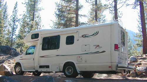
  • RV camping deep in the Sierra
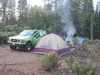
    RV camping at it's best in the Sierra; This rig found themselves deep in the alpine lush meadows with towering trees and a view and a very private camp site.
    Big Bend CA
    Big Bend Ranger Station, off I-80

    John Muir Wilderness

    John Muir Hiking / John Muir Map

    High Sierra Hiking

    California Wilderness Area Acres Topographical Maps
    John Muir Wilderness

    elevations: 4000′-14,496′

    584,000 John Muir Wilderness Maps
    Inyo National Forest

    JMT

    High Sierra Nevada / Eastern Sierra

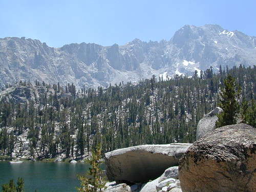
    Rugged Sierra Nevada high country. The highest peaks in the Sierra Nevada mountains can be found inside this Wilderness. Many peaks are well above 13,000 feet. Granite, glaciated basins, big snow, alpine lakes, meadows, wildflowers, streams, creeks, cliffs, jagged peaks. Mount Whitney stands as the tallest mountain in the lower 48 states.

    John Muir Trail Maps
    – JMT Topo Map

    lacontedivide
    Le Conte Divide, Sierra Nevada California – 12,000′ elevation peaks

    Eastern access via steep granite hiking, off US Hwy 395 (Bishop, Independence, Lone Pine)
    Western access backpacking thru Kings Canyon National Park, Hwy 180
    or Sequoia National Park, Hwy 198 (Mineral King, Three Rivers)
    or Sierra National Forest, Hwy 168 (Lake Edison, Florence Lake, Courtright Reservoir)
    North access via backcountry Yosemite National Park, Hwy 120
    or Mammoth Area towns (Lee Vining, June Lake, Mammoth Lakes)

    Hundreds of miles of hiking trails, some of the highest peaks in the nation. Trails open to equestrian and foot traffic only. Trailhead quotas limit the amount of day hikers and backpackers that an access the Wilderness daily. Wilderness permit required: Inyo National Forest Permits

    Eastern Sierra Visitor Center
    Inyo Visitors Office

    JM Topo Trails

    USDA National Forest
    USFS, NPS, BLM

    NFS NPS

    Eastern Sierra Interagency Office
    US Hwy 395 @ SR 136
    Lone Pine, CA 93545
    760-876-6200

    JMT
    JOHN MUIR TRAIL- John Muir Wilderness

    nearby towns, parks & resorts:

    Aspendell
    Big Pine
    Bishop, CA
    Courtright Reservoir
    Florence Lake
    Independence, CA
    Kings Canyon National Park
    Lake Edison
    Lone Pine, CA
    Mammoth Lakes
    Olancha, CA
    Tom’s Place
    Wishon Reservoir
    Yosemite National Park

    www.flickr.com

    Trinity Alps Lakes & Waterfalls

    Trinity Wilderness Lakes & Waterfalls

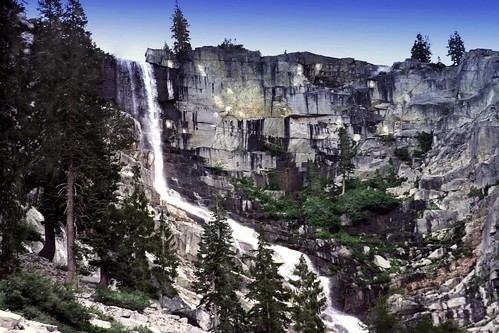
    Grizzly Falls -- Trinity Alps Wilderness

    Northern California Lakes
    Shasta Trinity National Forest

    NFS


    Trinity Alps Wilderness

    lake


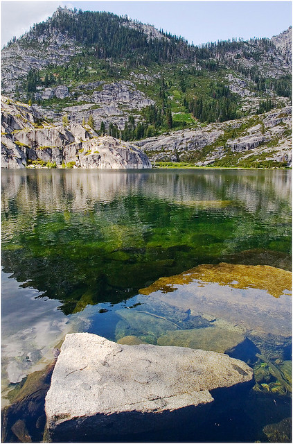
    Lakes & Waterfalls in the Trinity Alps region –

    Canyon Creek Fallstrinityalps_lg
    Trinity Lake
    Josephine Lake
    Hidden Lake
    Caribou Lake
    Lost Lake
    Grizzly Lake
    Sapphire Lake
    Papoose Lake
    Emerald Lake
    Conway Lake
    Barker Lake
    Foster Lake
    Boulder Lake
    Cecil Lake
    Lion Lake
    Ward Lake
    Mirror Lake
    Long Gulch Lake
    Trail Gulch Lake
    Fox Creek Lake
    Red Cap Lake
    East Boulder Lake
    Middle Boulder Lake
    Big Boulder Lake
    Big Bear Lake
    Big East Fork Lake
    Little Bear Lake
    Canyon Creek Lakes


    Trinity Alps Lake

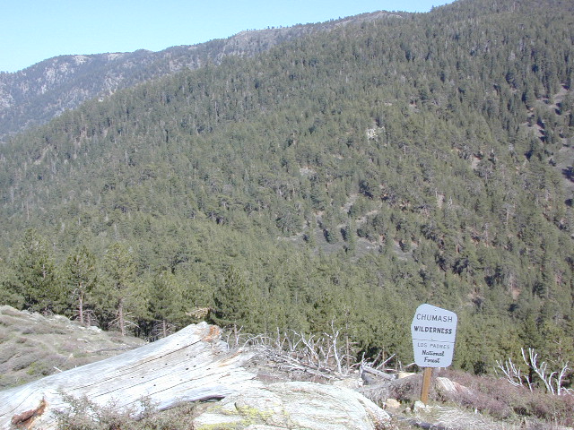
    Chumash Wilderness

    Chumash Wilderness
    Los Padres National Forest

    38,150 acres
    Mount Pinos – 8831′ elevation
    Cerro Noroeste – 8286′ elevation
    Los Padres National Forest

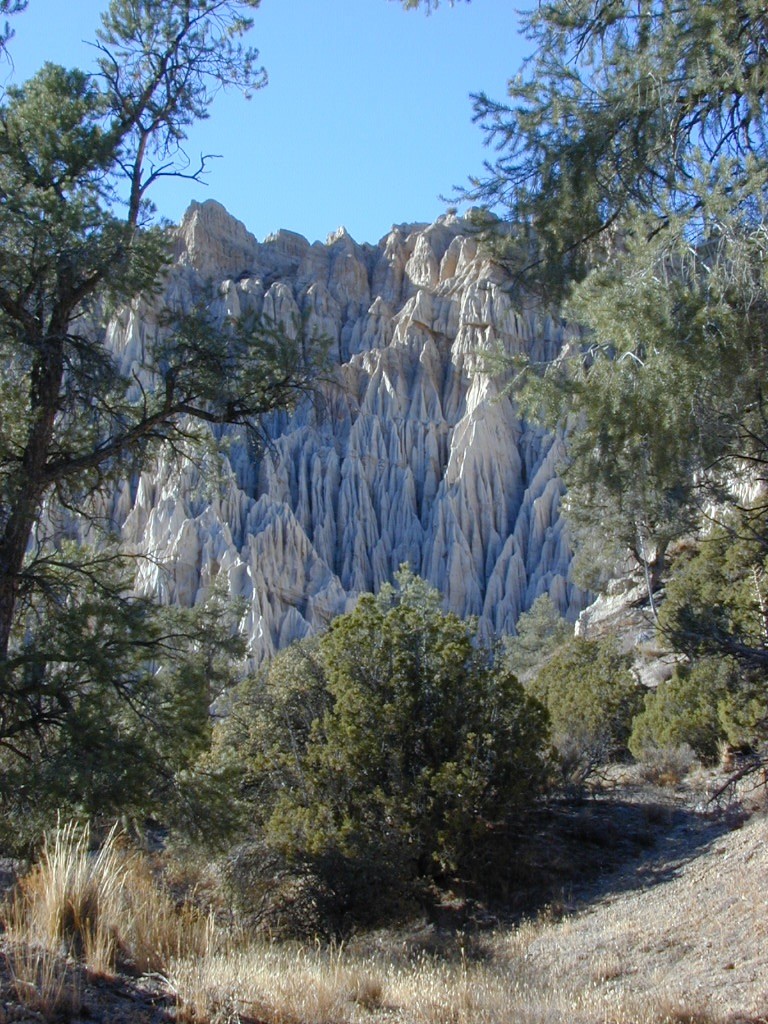
    Terrain consists of high mountain peaks, badlands of Quatal Canyon Wash & Lockwood Valley; Steep slopes of forests, rock outcroppings, sparse forest areas, on border of Kern County & Ventura County. This area is sacred to the native California Chumash tribe.

    Quatal Canyon Rd #9N09
    DSCN0042Mount Pinos, Mount Abel, Cerro Noroeste, Westside Park, Hudson Ranch Road, Mil Potrero Highway, Lockwood Valley Road, East Dry Canyon, Apache Canyon, Cuyama River

    campgrounds nearby –

    The Peak to Peak Hike is a 7 mile, high elevation, ridge line day hike that traversed 2 of the tallest peaks in Kern County – Mt Pinos (elevation 8831′) and Mt Abel (8286′). Day hikes, equestrian trails, backpacking, mountain biking areas nearby. Steep, granite, chaparral, lightly forested w/ ponderosa and Jeffrey pines. From this ridge trail you have a 360 degree view over the entire region. The cabin community of Pine Mountain Club is to the north side (and IF the skies are really clear, you can see the Sierra Nevada mountain range too); Lockwood Valley & Ozena Valley are located to the south; Cuyama Valley to the west and the Tejon Pass w/ Frazier Park to the east.

    Off road use 4×4, dirt bikes, ATVs, and quads are common in Quatal Canyon, Apache Canyon, East Dry Canyon leading up to the wilderness edge. Rangers will ticket if they find you on the Chumash side of Quatal wash. The secluded yet inviting, wide, white sandy washes are just too tempting for some bad boys.

    Chumash trailheads are located

    • about a mile before Camp-O-Alto Campground (Mount Abel)
    • along lower end of Quatal Canyon Wash (OHV areas parallel)

    nearby towns –
     

    DSCN0060


    View Chumash Wilderness Area in a larger map
    Sturtevant Falls

    Santa Anita Canyon, Sturtevant Falls

    a day hike in the San Gabriel Mountains

    Day hikes near Los Angeles, CA

    Santa Anita Canyon, Angeles National Forest
    From the 210 freeway, in San Gabriel Valley. East of Pasadena, exit Santa Anita Ave.
    Head North/East, through neighborhood, where road becomes Chantry Flats Rd (aka, Forest Road #2N40)
    proceed up the mountain to paved parking lot @ Chantry Flat. Falls Trailhead #11W14

    • 5 miles RT hike
    • 4600′ elevation
    • steep canyon w/ creek crossings
    • falls and creek subject to seasonal dry up; water flow varies
    • backpack camping only, no developed campground


    more photos on trailhead


    View Larger Map