Tag Archives: boat launch

Silver Lake California

Silver Lakes @ Bucks
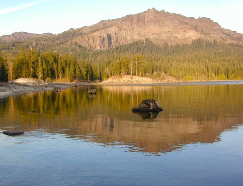
Silver Lake, near Bucks Lake Wilderness

Numerous Silver Lakes, Creeks and other “silver” terrain can be found inside California. After the Gold Rush of 1849 in the western Sierra, Silver was discovered in Nevada shortly after (east of Sierra Nevada mountains). This page is an overview on all places with SILVER in the name, or places that have had a history of silver mining. California Counties are listed in parenthesis. Links below will lead to more detailed pages or campground reservations.

Silver Lake @ Lassen

(Lassen Co)

silver kayaker

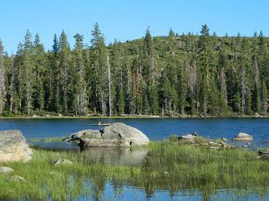
Silver Lake @ Bucks

(Plumas Co)

silver88

Silver Lake @ Carson

(Alpine Co)

Silver Fork of the American River. Silver Fork Road connects US Highway 50 & Carson Pass Hwy 88. Silver Fork Campground & China Flat Campground (NFS) are both located on this remote, backcountry route, about 8 miles from US Hwy 50 campground

golden glow june

Silver Lake @ June

(Mono Co)

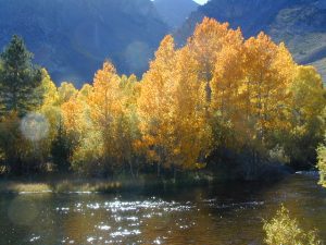
Autumn aspen groves ignite with color in October. Often, some of the best fall colors in the Eastern Sierra. Day trips w/ fishing. Hiking everywhere. Overnighters or backpackers could be greeted with snow at anytime in October or later. The June Lake Loop (SR 158) closes for snow annually!

California Lakes named Silver

Silver Lake @ Gold Lake

(Plumas Co)

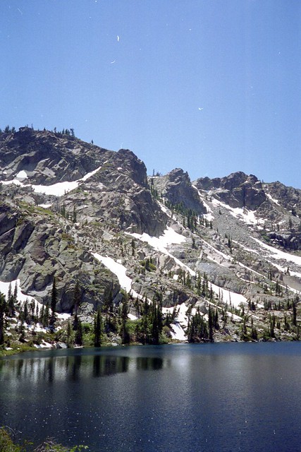
Lakes Basin Recreation Area also has a hike-in Silver Lake, trailhead near Gold Lake on Gold Lake Highway

Silver Lake @ Gold

califrepublic

below are silver mining camps and other silver related destinations, plus some campgrounds


Bodie SHP (State Park) calsp
(Mono Co)
8375′ elev. US Hwy 395 near Bridgeport, CA. Infamous, high desert ghost town, now a California Historic State Park. Large gold mining camp w/ well-preserved, wooden, old town structures. Silver was discovered in nearby Aurora Canyon.  All dirt road access. No developed campground @ Bodie, so try nearby Green Creek Road instead. Or high desert, back road camping on Aurora Canyon Road over to Bridgeport Reservoir.

Cerro Gordo
(Inyo Co)
8500′ elev. Inyo mountains, West of Death Valley, east of US Hwy 395 @ Junction 136. Old mining camp rich in silver history. Someone might even live up there. Extreme remote location in rugged, high desert mountains. 4×4 is always required!

Silver City Sequoia NPS
(Tulare Co)
6935′ elev. cabin resort on Mineral King Road, in the South Sequoia National Park

Silver Creek Campground NFS campground
(Alpine Co)
Developed Campground south of Markleeville, Highway 4, Ebbett’s Pass, Central Sierra Nevada

Silver Creek Campground campground
(Placer Co)
Camp right on the Truckee River, and on busy Hwy 89. in between Truckee & Lake Tahoe, California

Silver Valley Campground & Silver Tip Campground (Alpine Co) are both located near Lake Alpine on Highway 4 Ebbetts Pass , Central Sierra

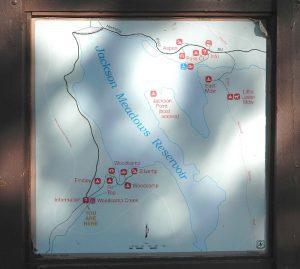
jacksonmdwsign

Silvertip is also a Group Camp at Jackson Meadow Reservoir (Sierra Co) off Hwy 89, North of Truckee, CA. Silvertip Group Campground, as with all group camping facilities, is by reservation only.

Silver Lake @ LA
(Los Angeles Co) a hip and popular, tree-lined neighborhood in Los Angeles, near Griffith Park.

Silver Lake
(San Bernardino Co)
Silver Dry Lake, a dry lakebed in the Mojave desert, near the Hollow Hills Wilderness, north of Baker, CA off I-15

Silver Lakes
(San Bernardino Co)
2430′ elev. a desert community southwest of Barstow, near Helendale, CA. Located on the Mojave River (which flows underground) in between Historic Route 66 & US Hwy 395. Attraction nearby – Exotic World, the Burlesque Hall of Fame.
 

silverstrand

Silver Strand State Beach State Park

(San Diego Co)
A sliver of sand makes up this narrow beach, barrier island for San Diego Bay. RV Camping, best in SD. South San Diego, Coronado Island campground

silverwood

Silverwood Lake SRA State Park

(San Bernardino Co)
State Recreation Area @ Cajon Pass I-15
in the San Berdu National Forest


lacontedivide

High Sierra, California

hike-in only

backpacking

Silver Pass Lake
Silver Divide & Silver Pass
(Fresno Co)
11,000′ elev

Located in between two 12,000′ peaks
near PCT – Pacific Crest Trail
John Muir Wilderness

backpacking

Silver Lake
(Tulare Co)
11,000′ elev

via Mineral King trailheads
Golden Trout Wilderness
South of Sequoia NP
Southern Sierra Nevada
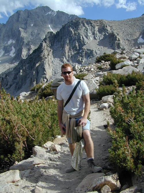
Another Hike


Blue Lake Modoc

Modoc Blue Lake
Blue Lake in Modoc National Forest
Hiking Lake
Hiking Lake w/ Loop Trail in far Northern California

Blue Lake
Modoc National Forest

When you really wanna get away from it all, take a week off and head up to Modoc – the top northeast corner of California, where the volcanic mountains line the Great Basin.  The population is minimal, cattle are abundant and the campers few. Even in mid summer, this ideal lake campground rarely fills up.

camp

Jess Valley Road leads east off US 395 @ Likely, CA – 16 miles back to this hidden gem.

Headwaters to the Pit River.

NFS Campground is shady, well managed, and spread out on the eastern slope w/ numerous paved loops. Tent campers, cross country cyclists, truck campers w/ canoes, SUV families, motorhomes with kayaks and kids.

modoc map
Modoc Map

Blue Lake Campground NFS
• Elevation: 6,050′
• Number of Sites: 48
• Vehicle Accessibility: 32′ RV
• Camp Fee: Yes
• Campsite Reservation: No
• Water: Piped
• Length of Stay: 14 Days
• Season: May –October
• Trailhead: Lake Loop
• Boat Ramp: Yes

Group Camp Facilities (by reservation only)
Modoc NF Warner Ranger District
@ 530-279-6116

Lava Blue Lake
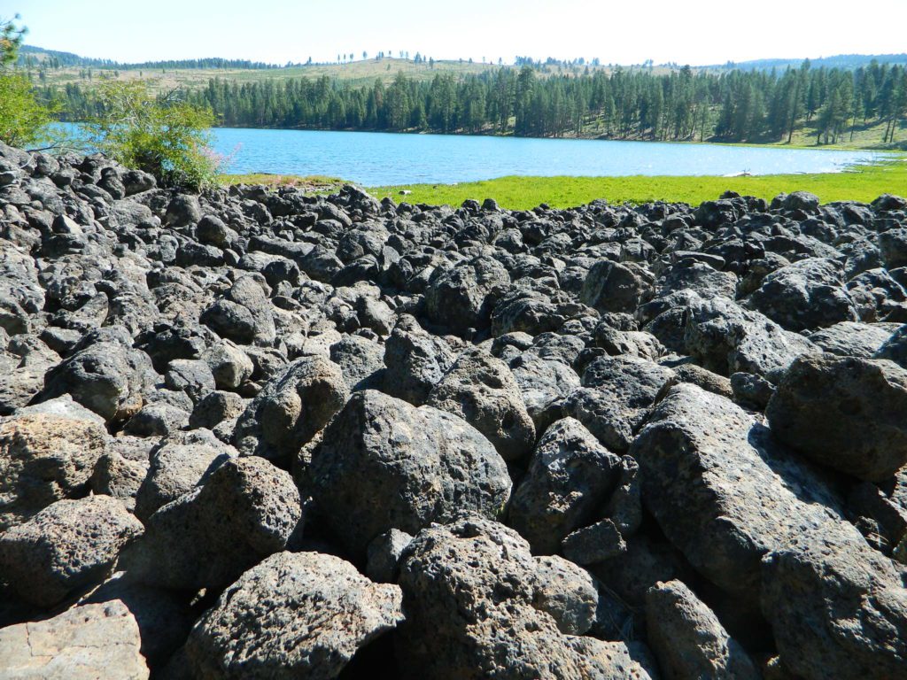
Lava Rock @ Blue Lake Loop, in Modoc County, CA

Blue Lake National Recreation Trail

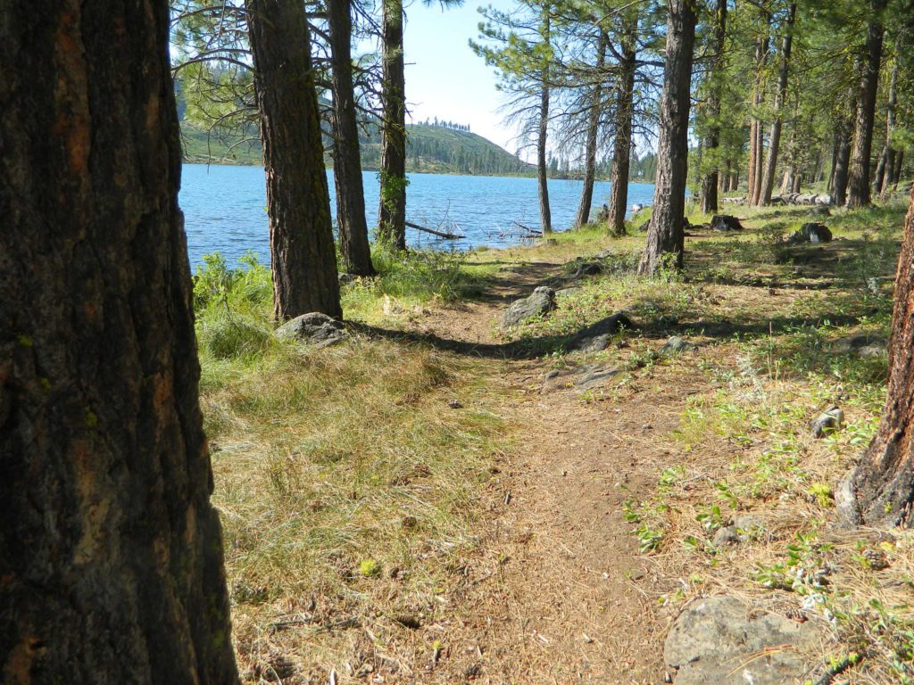
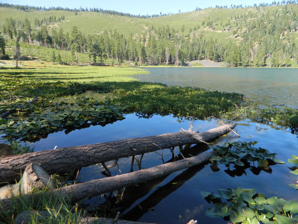
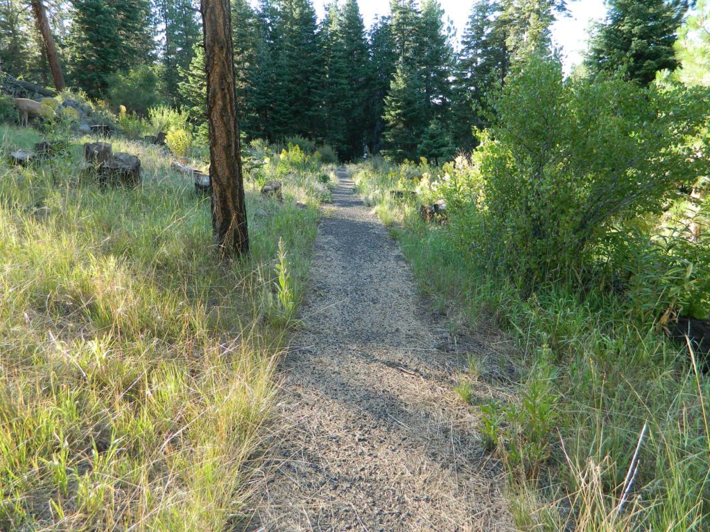
hikerRight next to camp: A pretty much perfect LAKE LOOP (1.5 mi) hiking trail is worth a serious stroll; footbridge, wildflowers, fishing spots, minimal hills, lava rocks, and awesome scenery. Plenty of wildlife can be seen, including butterflies and bald eagles. Trail is shaded by tall white fir and ponderosa pine trees. Trailhead is located at the Day Use parking lot, w/ paved boat ramp, dock, and picnic area.

stars canoe  fish

  • back roads
  • boating
  • camping
  • canoeing
  • fishing
  • hiking
  • kayaking
  • mountain biking
  • picnicking
  • swimming
  • stargazing
  • wildflowers
  • wildlife

Wild Blue Lake

NOTE: not every CAMPSITE has a LAKE VIEW

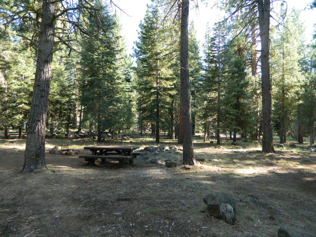
Certain campsites are adjacent to the lake; some are set facing a meadow (Autumn w/ aspen groves), or the alpine forest w/ deer grazing. Perhaps an inner circle (interior) campsite, for those who like to be close to bathrooms and piped water. Large families will love the abundance of camp settings and accommodations.

Paved Loop
Plenty of Vault Toilets
Piped Water
Recycles & Trash Service

Large Campsites
Large Campsites can accommodate Motorhomes
  • no paved camp stall
  • no hook-ups
  • no dump station
  • no cell phone signalcamptruck

popular lake camp for motorhomes

When driving a large RV back in here, be courteous of other campers. Nothing sucks more than driving a long distance to the boonies, to arrive at camp just before dark and annoying everyone else already there.

Those needing to drive the campground loops (more than twice) looking for the biggest, levelest, best camp site – and burning $10 in gasoline doing so, should consider walking in.RV

Park that beast (near boat ramp area, before the camp entrance). Get out and walk the hills and loops, BREATHE & relax – prior to a choosing camp site.

Unhitch any tow vehicles; use that to scout out your perfect spot, if you cannot hike it. Trailers and large motorhomes will find this place ideal, but getting the right camp, can make all the difference.

Trail around Campground

Paved Trail around Campground

The wildfire: BLUE FIRE burned this region in 2001, but it is lush and green again (2019). Northern California gets some real weather. Rain and snow, more than half the year. The campground closes annually due to snow.

Kayaking is best done in the morning, cuz wind picks up in the afternoon. Canoes can launch at boat ramp, or at shoreline from trails near campsite.

Hiking trails can be found all around lake and campground. Wilderness access can be found at South Warner trailheads within a short drive from the lake.

Cyclists also love this camp, as it is located near a major highway and is a perfect place to really relax, soak in the scenery and get some quiet-nights sleep.

Modoc National ForestNFSlogo
225 West 8th Street
Alturas, CA 96101
530-233-5811


south warner sign

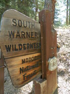
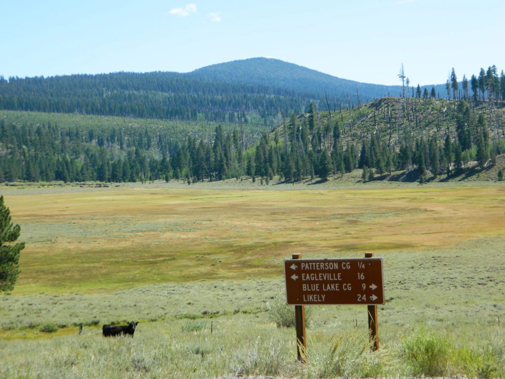
South Warner Wilderness is close by, driving distance; accessible by graded dirt roads. Signage is decent.

Modoc Forest Road #64 is a through-route, across the lower South Warners – 40
miles connecting to east side of the mountain, at Eagleville, CA.

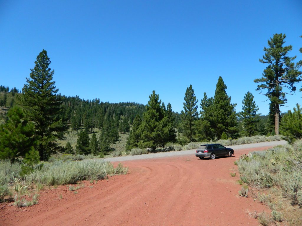
Dirt Roads are suitable for trucks w/ trailers. SUVs and rugged passenger cars are okay. Motorhomes are not advised on this route.  Washboard conditions are typical. Winter closure on this route is common.

south warner mountains map

MODOC RD 64

Several miles away from Blue Lake, 2 rustic trailhead campgrounds are located back this way – East Creek Campground & Patterson Campground. Less than 10 camp sites each, equipped  w/ horse stalls, vault toilets and maybe piped water. Trailhead parking for backpackers. No RVs!

Autumn colors w/ aspen groves. Open, large meadows and mature forests w/ wildfire scars. Cattle can be found grazing all around, many cattle crossing.

Minimal primitive camping options, along road sides. Campfire permits required. No camping within one mile of a developed campground.

Cow Country
Modoc is Cow Country
Road64
Day Trippin – Out exploring Modoc Road 64 (and cutting firewood)

nearby towns –

see also –
Mill Creek Falls Campground

Redinger Lake

redinger lake

Redinger Reservoir

south of Yosemite NP, Bass Lake, CA

dammed lake canyon NFS sierra river sierra mountains

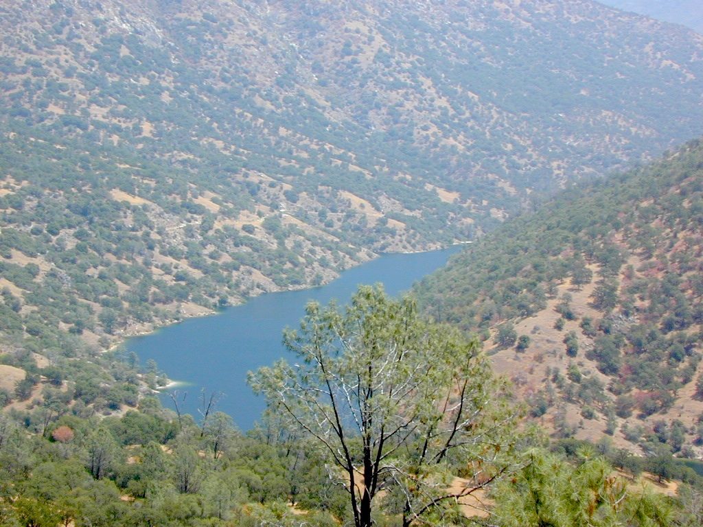
Officially this lake is actually a reservoir, located in the low lands of the Sierra foothills country. Narrow, winding back roads, a way outta the way kinda spot.

a long, narrow lake w/ steep hills, inside a tight canyon

  • canoe
  • fishing
  • hiking
  • jetski
  • kayak
  • waterski

The San Joaquin River flows west, down from the highest granite peaks of the Sierra Nevada and into the Central Valley foothills. If you find your way off the main highway 41, exploring way back behind Bass Lake, CA – then you may consider this scenic loop to Redinger.

off the beaten path

Truthfully, this place is usually an afterthought, sorta near Yosemite National Park. Not exactly a top destination for tourists, but it is very accessible most anytime of the year due to low elevation.

Spring wildflowers can be decent. Summers do get super hot here, so take that into consideration when planning your visit. Due to extreme wildfire danger, no campfires are allowed at any time.

redinger bridge

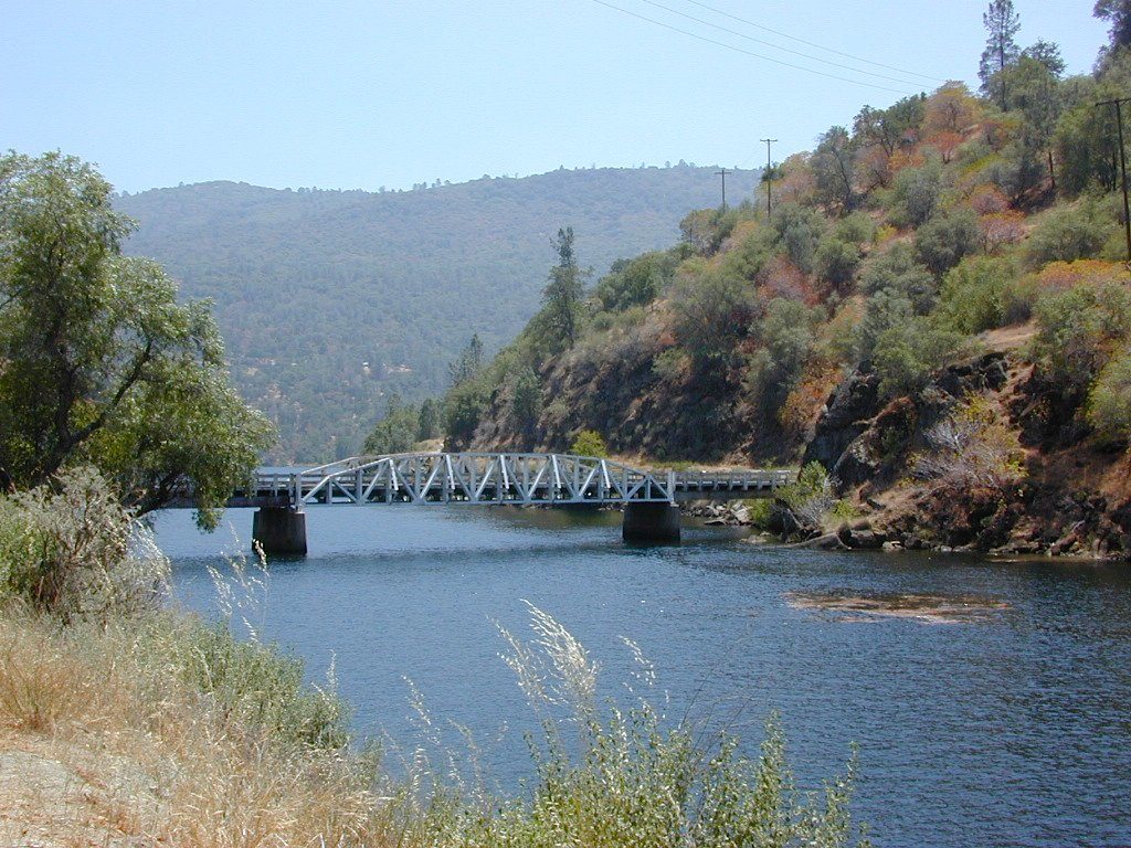
Lake, Reservoir, or a good wide section of the San Joaquin River w/ hydro-electric dam.

elev. 1000′

open camp no fires boating fish

public boat launch ramp
Camping is restricted to a large open area near the dam. No fee is charged. No campfires are permitted. Services limited, no drinking water or garbage pick-up available. Nearest town 7 miles away.

NORTH FORK, CA

Redinger Lake Road (Rd# 235) can be found south of the town of North Fork, CA. The paved route down is long, steep and winding. At the bridge crossing, the road loops to Joe Basin Road, which connects to the small community of Auberry, CA

Way up river, a dozen plus miles, is the utterly beautiful Mammoth Pool, only accessible half the year.

A few miles down river from Redinger, around the horse shoe bend, another neighboring reservoir called Kerschoff Lake (elev 971′) has a developed campground.

campSmalley Cove Campground NFS

Contact:
Bass Lake Ranger StationNFS
559-877-2218

https://www.fs.usda.gov/


Lake Mohave

viewpoint mohave

Lake Mohave NRA

Lake Mohave National Recreation Area

Mojave Reservoir @ Colorado River: AZ / NV / CA
@ the V, bottom of Nevada state = Arizona – Nevada – California, all merge together

National Park Service

The Colorado River travels through the southwest desert, splitting the Grand Canyon and further south, separating California from Arizona at the southern tip of Nevada. Agriculture lines the big river down to Baja, Sea of Cortez, Mexico.

Up near Las Vegas and down to Searchlight, NV

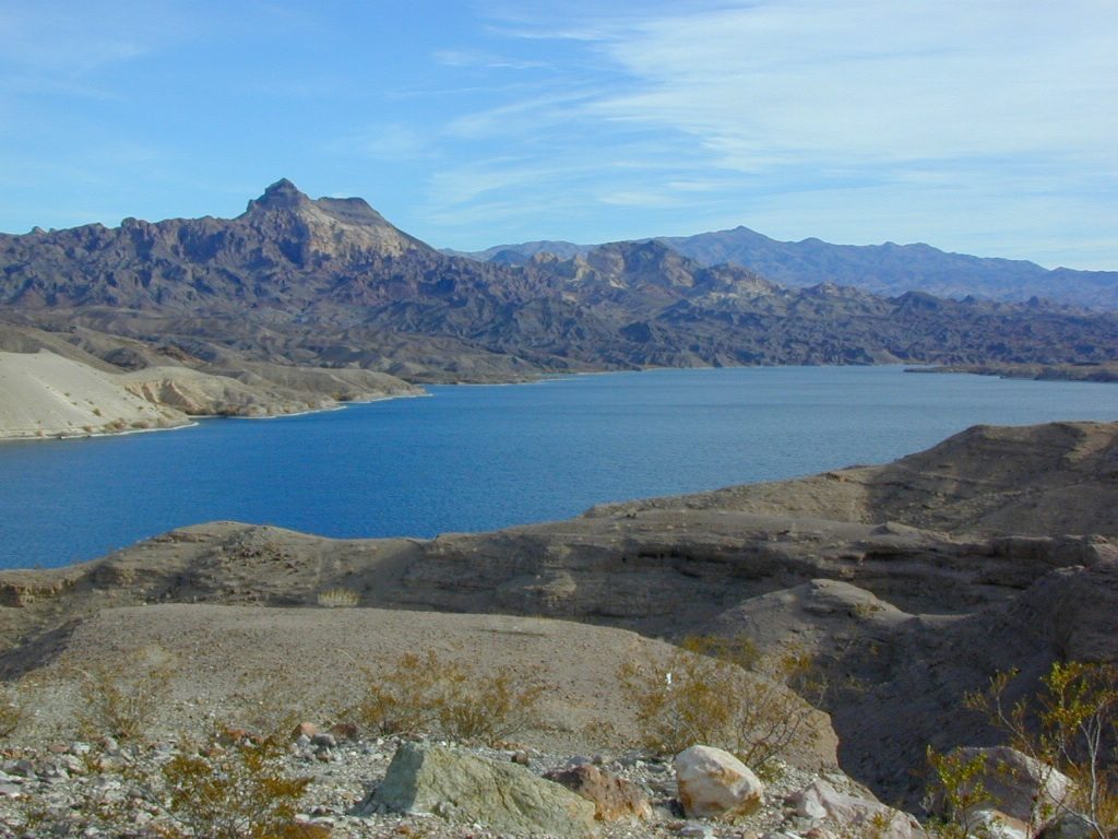
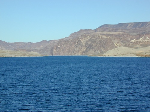
Above Hoover Dam is Lake Mead, sediment from Utah National Parks. Red dirt and silt shorelines. South of Hoover dam is a super deep rock gorge w/ hike-in hot springs. Beyond that, this beauty called Lake Mohave – with the super clear water, secluded coves and abundant fishingfish

Lake Mohave: elevation 647′

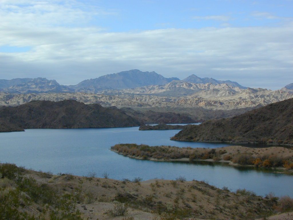
Desert peaks in this region are around 2000-3000′ elevation. Mohave Lake is actually a wide section of the Colorado River, spanning the region from massive Black Canyon south to busy Laughlin w/ river casinos. This lake is long and skinny in spots with lots of shoreline cliffs, canyons and coves. Minimal vegetation, so please bring your own firewood and don’t chop down the few trees trying to survive. Summer temps exceed 100 degrees, so plan your visit for the winter time.

boatrampLake Mohave Ranger Stations
Cottonwood Cove
Katherine Landing

boating, camping, fishing, hiking, hot springs, kayaking, off-road, picnics, viewpoints

camping areas below listed from north to south

Willow Beach RV Park & Campground
Arizona side, off Hwy 93
928-767-4747

car camp mohave

El DORADO CANYON

El Dorado Canyon Road, main paved route can be accessed near California’s state border. North of Searchlight, Nevada – off main highway 95, on side route 165 to Nelson, NV

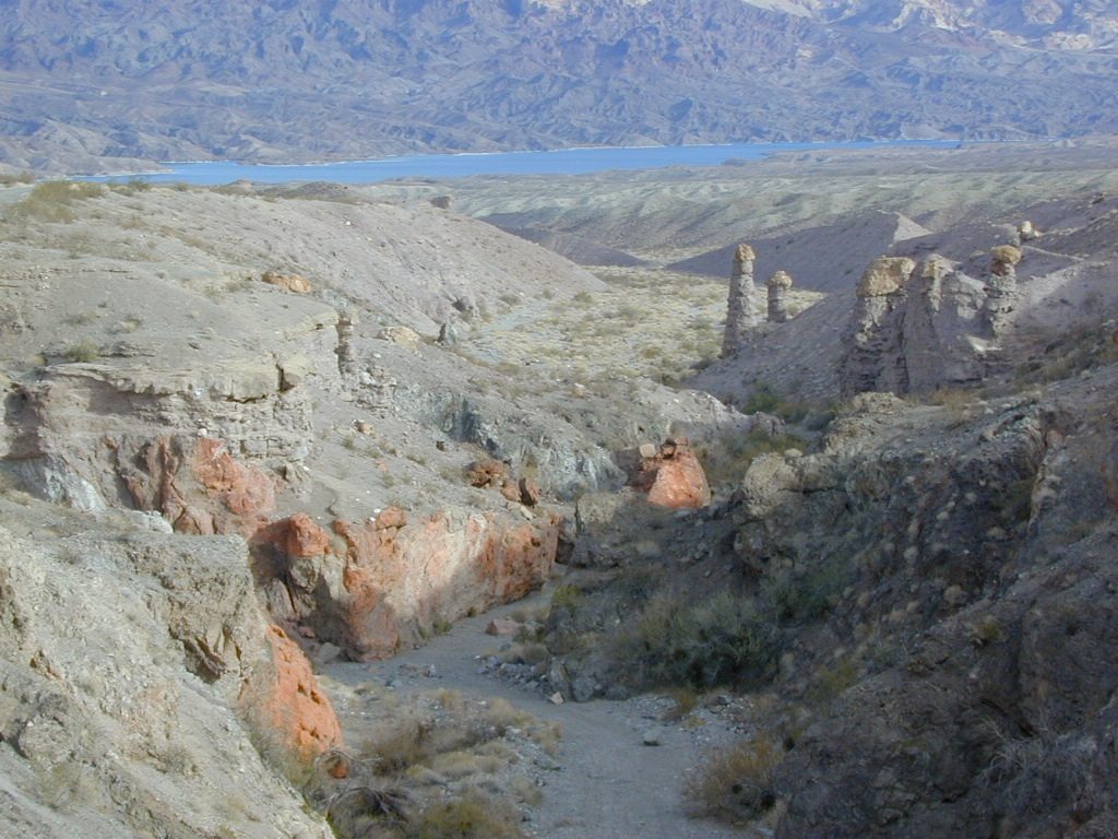
Secluded dirt roads up and down canyons near El Dorado Canyon Rd. Minimal vegetation, maximum open scenery and dark skies. Kayak rentals @ El Dorado Canyon.

desert badlands erosion

deep washes
Ireteba Peaks Wilderness

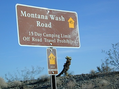
4×4 camping routes: 15 day camping limit

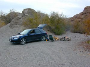
Find your own route with many to choose from, drive the soft sandy washes (with a few boulders to dodge) and camp for free, right at the waters edge. Adventurers: Only for the self-contained campers. Some routes marked 4WD only, so pay attention to signs. AWD (all wheel drive) vehicles should fare well on the sandy roads; but standard passenger cars and vans will need to keep their speed up in the soft sand areas.

No garbage collection. Pack it in, pack it out.
No facilities, no fees. No buildings. No campfire rings, no picnic tables, very few vault toilets. Bring your shovel!

Driving off the roads is strictly prohibited. Primitive camp sites can be found both at numerous coves and also inland inside the canyons. The ridges get windy in the deserts, but are favorable for night sky views and self contained camper vans.

Always know the weather forecast, cuz flash floods are possible and these dirt roads will be impassible during big rain. This is the main drainage to the big river!

Dogs Allowed

DRIVING TIPS

Most desert washes here are signed routes 4×4, but mini vans, AWD sport-wagons, trucks, SUVs, small RVs can all be found camping near Lake Mohave. That is – if you know how to ‘drive off road’, which is not fast, but not too slow either.

Avoid getting stuck in the deep sand: keep speed up, do not turn sharply and do not brake hard. Carry tow strap in case you need an emergency pull. Be nice to strangers and you may find help.

Campfires are allowed, but you need to bring firewood. Dogs are allowed. Party animals tend to trash these desert coves, so be warned that there is a fair amount of litter. Bring a black trash bag and take some out! This trash problem could get the area closed off to vehicles so keep that in mind.

The canyons here have giant power lines that cross @ Aztec Wash; they can easily be avoided.

montana wash

primitive camping 4x4 camping boat camping

4×4 recommended @ MOHAVE:

Eagle Wash Road #46 – popular spot
Montana Wash #45 – camping ok
Placer Wash #47 – no camping

The rangers don’t wanna be pulling your ass out of the sand, which is why they post the 4×4 signs. Don’t expect to find help without walking a few miles first, or waiting several hours.


desert wilderness

Several wilderness areas are located along the west side of this lake & river. Often dirt roads will parallel a portion of the wilderness boundary, providing excellent access to secluded coves and beaches. Emergency CALL boxes are placed in remote parts of these shores.

  • Ireteba Peaks Wilderness (northwest, next to El Dorado Canyon)
  • Nellis Wash Wilderness (western side)
  • Spirit Mountain Wilderness (southwest)
  • Bridge Canyon Wilderness (southwest, near Laughlin)

mohave2011

RV camp campground marina

COTTONWOOD COVE
developed campground, boat launch, marina, lodging, hiking, picnic areas

Cottonwood Cove Resort
near Searchlight, NV
702-297-1464

primitive camping boat camping RV camp campground marina

LAUGHLIN, NV
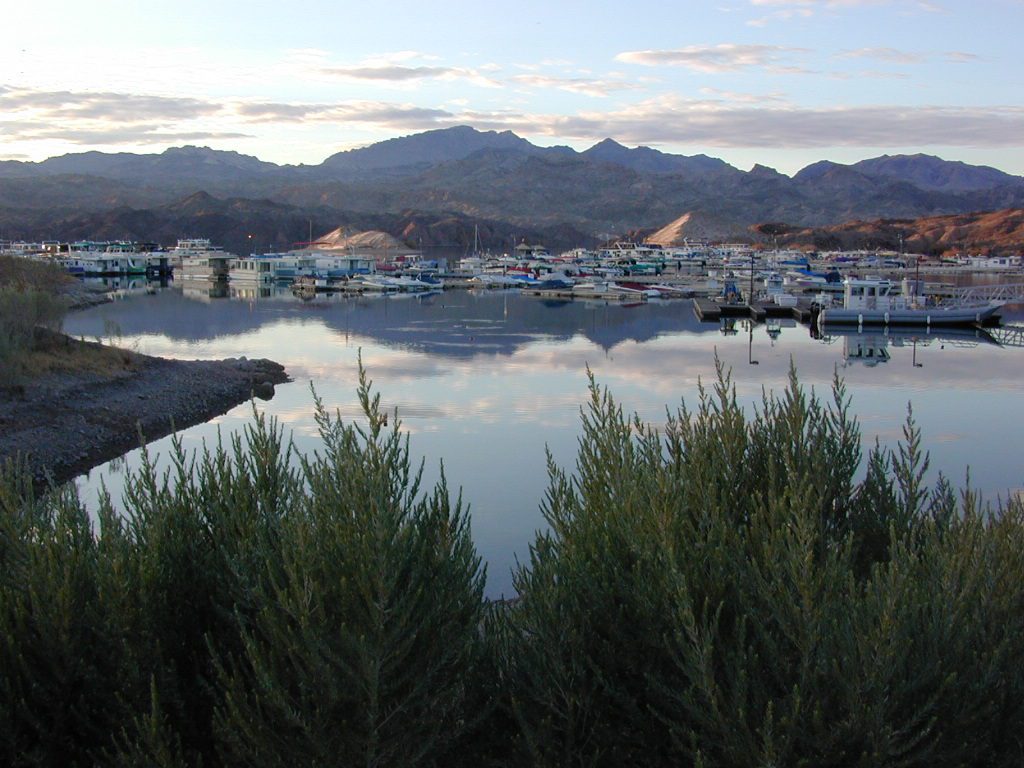
Nevada, California and Arizona states join down in this part of the world. Katherine Landing, full service marina, slip rentals, lodging, city services and casinos.

Lake Mohave Resort
928-754-3245

katherine landing camping
Katherine Landing offers back roads camping, via rough dirt roads.
Laughlin Marina
Laughlin Marina @ Katherine

Lake Mohave NRA
NPS Headquartersnevada_atlas
601 Nevada Way
Boulder City, NV 89005
Visitor Center open daily
702-293-8990

maps of the region:

covecamps

Mojave Desert – This river-created lake is located on the Colorado River, in between Las Vegas, Nevada and Needles, California. The river water here is crystal clear, very swimmable and the fishing is decent.  No paved boat rampsclearest water

nearby towns: (with elevation)

Avi Casino
Bullhead City, AZ (540′)
Laughlin, NV (535′)
Kingman, AZ (3340′)
Needles, CA
Nelson, NV (2954′)
Nipton, CA (3042′)
Oatman, AZ
Searchlight, NV (3470′)