Tag Archives: year round

Kings River Camping

Camping areas along Kings River, Sierra Nevada California
dirtroadskings

Kings is the longest river in the Sierra Nevada and very rugged and remote in most of the length. The Upper Kings is situated in the Wilderness and National Park at the highest of elevation. Granite alpine back country, with abundant small lakes, the Pacific Crest Trail and numerous Wilderness areas.

pct

The tallest peak, Mount Whitney, drains this way – down waterfalls and whitewater, westward to the San Joaquin Valley. Agriculture, farmlands and orchards of fruit.

The mid section of this mighty Kings River runs close to Hwy 180 inside the Kings Canyon National Park

fish

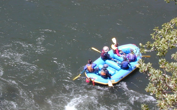
The Lower Kings is popular among campers, fishermen, kayakers and rafters, accessible most of the year. Upper Kings River is located inside the National Park boundaries.

hiker

Upper Kings River Headwaters

8000-10,000′ elevation
PCT trail camping, hiking trails lead 20+ miles from Cedar Grove, skirting the Joh Muir Wilderness

camp

NPS Campgrounds @ National Park
South Fork Kings River

Inside Kings Canyon National Park:
Cedar Grove Village @ end of Highway 180

elevation 4600′

may be closed during winter months.
reservations recommended.
NPS

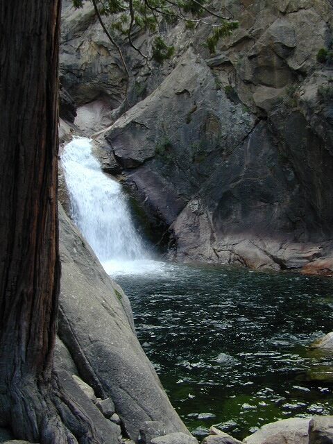
roaring falls

Roaring River Falls

Sentinel Dome (9115′ elev)

hikes
Roads End Trailhead
Backpacking trails lead up river from the paved parking area.
NPS – wilderness permits required for overnight stays.
Camping, day hikes and horseback trails. Wildlife and wildflowers abundant in this Cedar Grove / South Fork canyon.
Kings Highcountry Topo Map

bridge kings

Camping near Lower Kings River

Open all year round. Outside the National Park boundary, westward in lower elevations, many more camping options are available.

NFS

NOTE: Sierra National Forest is located  on the north side, along the river shore in between Pine Flat Lake & Kings Canyon National Park. But Sequoia National Forest is located on the south side, so you may need more maps. Cell phone service is spotty or non-existent in this deep canyon.

Lower Kings is best accessed via the paved roads, up behind Pine Flat Lake, California

river
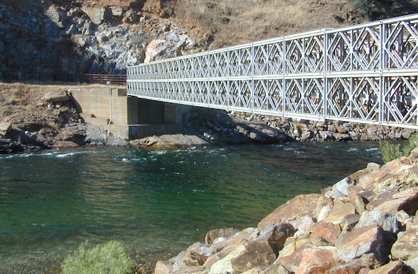
Trimmer Springs Road #11S12: a paved access road, that wraps around the northern shore of Pine Flat Reservoir. Very curvy and long, with 25 mph curves; this main route continues east into the massive Kings River Canyon.

Google Maps may have this road crossing the river, towards the end. Proper signage is questionable in the area, since local rednecks love to shoot up signs. Trimmer route quickly peters out to narrow dirt roads, anywhere past the Mill Flat Campground area.

Lower Kings is NOT easily reached via the National Park, nor Kings Canyon Highway 180. Dirt road travel is required on Road #12S01, which can be steep and rocky at best. The drive is a steep climb up to the highway, which may require 4 wheel drive in some sections, depending on weather and land slides. This road is rough, so you will need at least a high clearance rig and a good forest map. Winter brings some snow and abundant rains (NOV – APRIL).

LANDSLIDES and ROCK SLIDES are common with ROAD CLOSURES not always posted on the Sierra National Forest, NFS web site.
big river kings


poppy

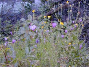
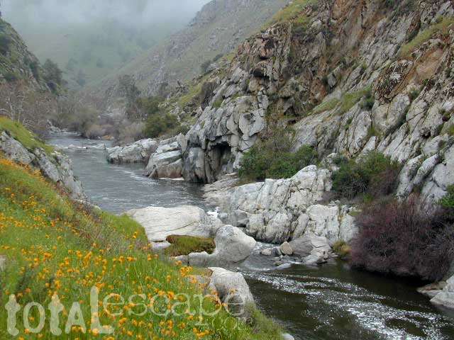
Wildflowers are abundant in this region for springtime. (MARCH-MAY)

camp

(north shore)
Lower Kings River
elevation 1100′

Sierra National Forest fish

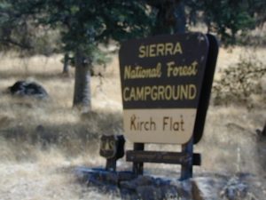
Kirch Flat Campground NFS (17 sites)

tables & toilets

both above camps are free camp spots: boondocking, dispersed camps, primitive car camping, tent camping, RV camping, river fishing, kayaking, rafting

Sierra Road #12S01 – primitive camping, few pit toilets; fishing access, some trailhead camps and RV spots along river. The northern most arm of this road is also referred to as Road# 12S001 Garnet Dike, on the NFS web site.
newbridge
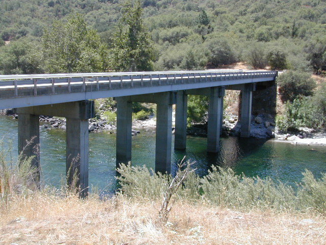
Along paved routes, near bridges, some dispersed camping is also allowed. Campfire permits are required.

Sierra Road #9 is Big Creek Canyon a side route, graded dirt road worth exploring for primitive camping options. The farther you drive up, the more vegetation you will find. Campfire permits are required.

BlackRock Reservoir Road #11S12, another side route (paved) climbs steeply in elevation, along a cliff edge. This spot offers a small NFS campground near a lake, and is located along the North Fork of the river.
kingsflow2010
click to enlarge

(south shore)
Lower Kings River

elevation 1000′

Sierra National Forest

NFS

Lake View

boatramp

Pine Flat Reservoir

elevation 952′

rafterskings

Avocado Lake Park is down river and a perfect spot for a picnic or BBQ. A 210 acre day use park providing recreation that includes swimming, fishing and picnicking. The park has picnic tables, a group picnic area, BBQs, boat launching ramp and a playground. West of Pine Flat Reservoir, this grassy county park is only open during daylight and no overnight camping is allowed.

picnic

Next park down river is
Kings River Green Belt Park, which seems to be popular with joggers and dog walkers. Also run by the county, this place closes at sundown and no camping facility is offered.

RV

@ Highway 180

Riverbend RV Park
17604 E Kings Canyon Rd
Sanger, CA 93657
with seasoned organic firewood


Fouts Springs

fout springsFouts Springs California

dirtbikes

2018 Mendo Complex Wildfire has affected this area. Expect some closures on trails and roads.

Stonyford Recreation Area
USFS Grindstone Ranger District
Mendocino National Forest

roadtofouts
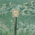
Paved Road M10, Mendo National Forest

Fouts Campground NFS

Lat – 39° 21′ 35.05307″
Long – 122° 39′ 07.87442″

4x4

OHV

off highway vehicle use is abundant

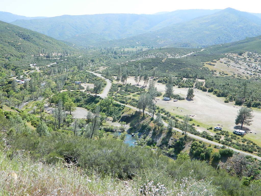
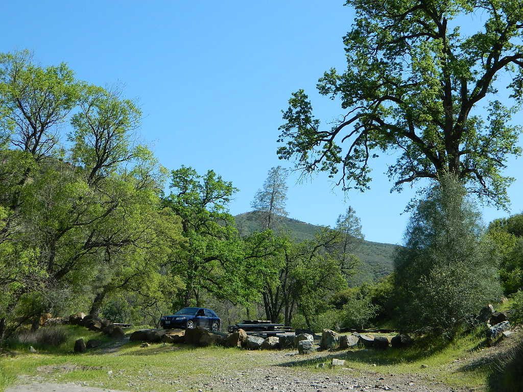
Fouts Springs is multi-use recreation area on the east side of Mendocino National Forest. Located near the Snow Mountain Wilderness trailhead, this region is popular with the off-roaders and dirt bikers. Expect some noise if camping overnight on a weekend.

Excellent picnic spots along creek in springtime. Wildflowers bloom March-May. Campfire restrictions may begin as early as July, so know current fire conditions.

fouts water

fouts camp

camp

campground elev spots veg toilet water notes
Davis Flat Campground 1700′ 20 mixed vault no OHV + RV trailers
Fouts Campground 1700′ 11 mixed vault piped OHV trails
Little Stony Campground 1500′ 8 pines vault no OHV trails
Mill Creek Campground 1700′ 5 mixed yes no OHV trails
South Fork Campground 1700′ 4 mixed vault creek Stony Creek

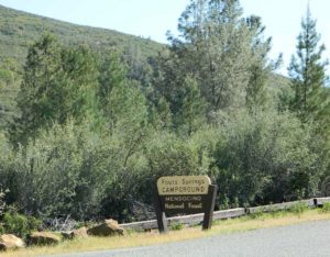
Spring Fouts MendoFouts campgrounds are located on the EAST SIDE of Mendo NF on paved road M10. Situated below 2000′ elevation and open year round.

Road M10 Mendo
Road M10 Mendocino

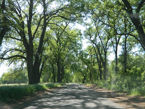
TRAVELERS NOTE: Tent campers, RV and truck campers can easily access this area, all paved roads. Exit Williams or Willows on I-5 and head west. A decent back country map or Mendocino National Forest Map is advised; Numerous canyons, forested creeks and campgrounds. Always check with Mendocino National Forest for road closures and conditions.

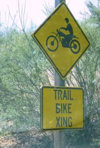
dirt bike crossing

OFF-ROADERS NOTE: Use caution on paved access road M10, especially when driving with trailers or large RVs. Narrow road, long and winding with blind curves and no guard rails. Always check with Mendocino National Forest for road closures and trail conditions.

4x4

Mendocino Ranger Stations can be found on link below

NFSMendocino National Forest

foutspicnic

picnic

wildflower

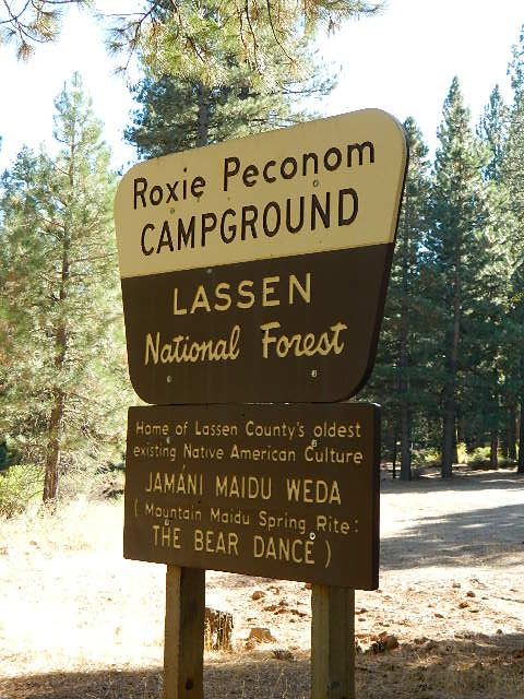
Roxie Peconom Campground

Lassen Forest Road #29N03
Roxie Peconom Camp

Roxie Peconom

MAIDU INDIANS: Roxie was a native medicine woman and lived over 100 years in these parts. Read more here

AUG 2021: Closed due to the Dixie Fire

Wild onions were found along the top of Thompson, Diamond, Eagle Lake, Willard, and Mountain Meadows.

Lassen National Forest – W of Susanville, CA

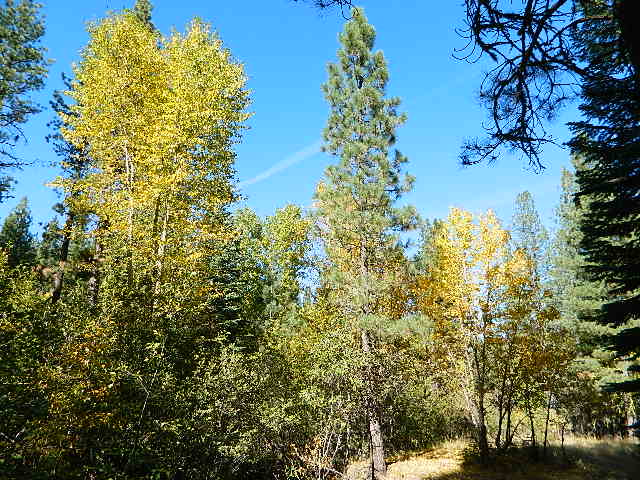
This pine forest is home to the developed NFS campground – which has been named after the tribal elder. The camp location is a sacred spot to the local native tribes. Just above Susanville, CA on the west side, south of the highway; forested w/ creeks and aspen groves. Autumn colors can be found in the creek beds.

Dirt roads all over the place, leading to far away destinations like Diamond Mountain, Antelope Lake and Taylorsville. The backcountry region was recently damaged by wildfires: 2020 Sheep Fire and now the Dixie Fire 

pinetree

FREE CAMPING – W Susanville, CA
en route camp

Less than 3 miles of dirt road #29N03 driving will get you back off the highway and into this forest, Hwy 36 W of Susanville. Bring the mountain bike for abundant usage and a week of exploring.

Only 13 miles to downtown Susanville, via the back road. Chaney Creek Road is a main dirt road near Highway 36, which parallels the river, the red rock bluff and the road, downhill into town.

This FREE campground is popular with the hipcampers and pediums – and gets rave reviews; small RV campers do like to use this camp spot, if they don’t mind a little dirt road driving; they’ll need to park in the dirt parking lot, 40+ feet away (not adjacent to the picnic tables or fire rings).

  • camping

  • ceremony

  • drum circle

  • fishing

  • hiking

  • horseback trails

  • hunting

  • mountain bike

  • off road trails

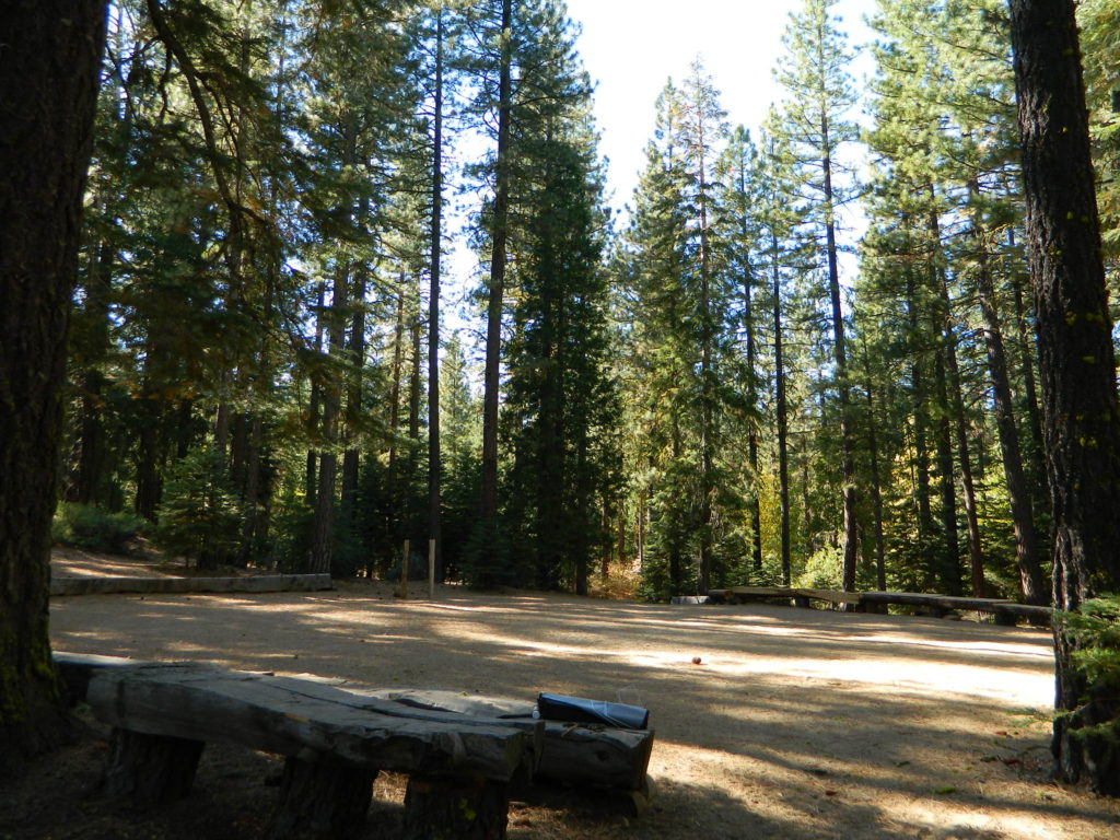
Roxie Circle
Bear Dance Circle @ Roxie

roxie seating

walk in campground, and close to town

hiker

Shady Campground

Walk-In Campsites @ Roxie

AUG 2021 – CLOSED due to the Dixie Fire

Roxie P Campground
Susanville, CA – Lassen NFNFSlogo

• Elevation: 4,800′
• Number of Sites: 10 (walk-in only)
• Vehicle Accessibility: any
• Campsites Reservation: No
• Campsite Fee: No
• Length of Stay: 14 Days
• Season: open all year
• Trailheads: Diamond Peak


shadycamp

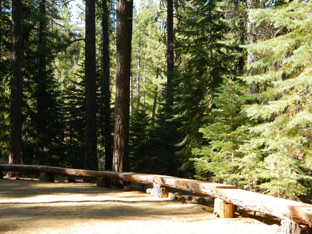
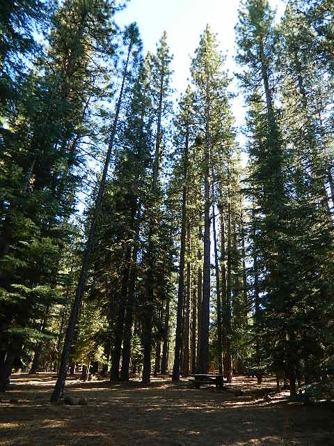
Flat forest and easy to walk. Shade and pine needles, picnic tables and group fire pits. All facilities are encompassed with a  sturdy wooden, fence line. No RV or trailer access to camp sites. Mountain bikers like this spot and so do horseback riders. Travelers passing through eastern California will welcome the convenient location, plus the ease of dirt road.

The Roxie Camp is situated near Willard Creek on the south side of the Highway 36, close to Susanville. Willard is a feeder stream into the Susan River, which flows into town.  Quiet camp, most of the time. If a big family is camping here w/ children, or there is a tribal gathering, it could get loud.

PLAN B –  head over to Goumaz Campground NFS, due north. Located in between, near the junction of Hwy 38 & 44. Near the railroad tracks and the Susan River. Smaller camp near the NRT (National Recreation Trail), the  Biz Johnson Trail (BLM).
2021, this camp is CLOSED!

so find someplace else: PLAN C
(make sure any camp is open by calling rangers before traveling).

Fire Lookout hike near Milford Grade

Susanville Hiking Trails PDF
BLM Southside Trails
mountain bike, hike, horseback

aspenroxie
Aspen trees at Roxie in Autumn

dirtbikes

off road Susanville

OHV activity may be passing the developed campground, but are discouraged – due to the layout of camp. Plenty spots for ‘froaders further out – at the end of the road. Way back there!

Jeeps, 4×4 trucks, quads, dirt bikes, anglers and hunters travel these dirt back roads, as well as rangers, campers, horses, mountain bikes, and big logging trucks. 25 mph slow is always best. Daytime headlights help you get seen in the shadows. Forest is dense and road conditions are ever changing.

Forest Road #29N03 is Gold Run Road, the bumpy dirt road – that skirts around Diamond Mountain on the south side. Lots of one single track or one-lane dirt roads, which will require a National Forest map or a decent topo map to navigate properly.

OHV is common in these areas, but not so busy at this camp. If you seek peace and quiet and solitude, know how to read a map and where the noise is expected to be. Avoid the OHV areas, if you want to nap in the hammock and read a book.

Wild red necks with guns live in NorCal, so pay close attention to property lines and trespassing signs.

ranger

USFS Ranger Station is located on the west side, just outside of town, on the wide downhill grade on the highway @ the Eagle Lake turnoff. Cal Fire station is also located along this stretch of road.

Lassen National Forest
Ranger Station USFS

CA-36 @ Eagle Lake Rd
Susanville, CA 96130
530-257-4188

Cal Fire Station
697 CA-36, Susanville, CA 96130
530-257-4171

fish

NEARBY TOWNS:

Chester, CA
Lake Almanor, CA
Susanville, CA
Westwood, CA

Susan River is nearby, but not really walking distance from Roxie Camp

eagleclouds
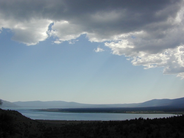
Large Eagle Lake, N of Susanville, CA

Year Round Camping

Year Round Adventures

CampingCalifornia is an outdoor recreation paradise, with near perfect weather, diverse terrain and breathtaking scenery around every corner. Many folks gravitate to the west coast specifically to be outdoors more.
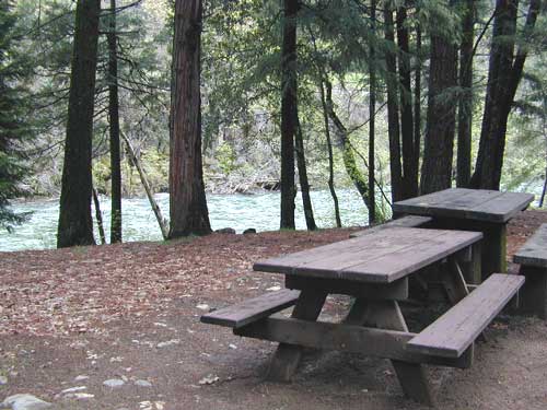
Soaking in the sunshine, every day, every week. Reconnecting with nature and choosing to live a more healthy lifestyle, eat well and learning to relax often. Camping can be a real vacation – without the high cost of travel.

Summer isn’t the only time to go camping in California

Avoid crowds
Try getting out there before Memorial Day or after Labor Day!

Desert camping is popular during winter months, while mountain destinations are preferred in summer. Find a secluded small campground or even try roughing it w/ primitive car camping. Motorhome campers who like to boondock, will enjoy the extensive back roads section of Total Escape. If you own a 4WD vehicle, you can reach the most secluded 4×4 camps, lookout towers and some historic cabins.

season description recommended
Summer hot in deserts & country foothills,
smoggy in cities; coastlines can be foggy
mountains & coast
Autumn great camping all around,
early winter storms in mountains
coast, deserts, country
Winter snow in mountains & very cold,
windy on coast as seasonal storms move in
deserts (possibly)
Spring snow melt in mountains may be late,
storms can last into late springtime
deserts & country

Picnic Tables

annual timelines to consider

  • summer – busiest time for traffic and travel; many travelers, families, tourists; National Parks and coastal towns are  crowded; hottest in desert areas, cities and in the mountain oak foothills
  • autumn – meteor showers, fall colors, fishing, hunting, hiking, mountain biking; fire restrictions higher, firewood collecting, less families out and about, cuz kids are back in school
  • winter – prime time for desert camping, off roading, ghost towns, museums and meteor showers; coldest months w/ winter storms; snow is possible down to 1000′ elevation
  • spring – wildflowers, birdwatching, rainy season, lakes, rivers, creeks flowing well; rafting & kayaking; snow storms tapering off w/ snowmobiling in mountains; snow camping

SEASONAL RATINGS on LOCAL TRAVEL DESTINATIONS

perfect okay iffy no way
Coastal Desert Country Mountain City
winter winter winter winter winter
spring spring spring spring spring
summer summer summer summer summer
autumn autumn autumn autumn autumn

watermelon snacks

Pismo Camping

Pismo Beach Camping – Oceano Dunes SVRA (Pismo Dunes)

This might be the only place on the entire California coast where you can take your vehicle on the sand. Drive on the beach!

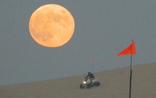
RV CampingOpen dispersed camping is available along Oceano Beach. Watch the high tide line and set camp well beyond that mark. A typical weekend is busy year round. Sand rails, quads, the beefy family SUV, or the ‘garage queen’ trucks. With all these motorized toys, you’re thinking either – yeah, or no way. Option B is listed below.
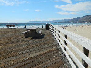
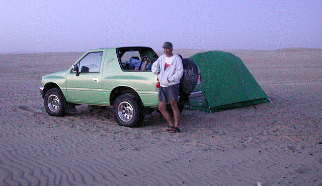
SAND DUNES
Off-Road playground, Oceano Park is also referred to as Pismo Dunes.

San Luis Obispo: SLO is north of Pismo a few miles. North of Avila Hot Springs. Other amazing parks include – Montana de Oro & Morro Bay.

DSCN1054

Oceano Dunes Camping open camping

Oceano State Vehicle Recreation Area has open camping on the beach, with a toilet within walking distance. No tables, no fire rings or paved anything! This is where all the big boys with the big toys like to hang out. Toy box trailers, bon fires, crowds & exhaust fumes. This crew can be seen each weekend driving Hwy 166, over to Bako.

Option B:

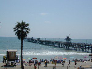
a large 82 site coastal campground is better suited for RVers & tourists wanting to avoid dune buggies. Horseback riding, beach, bike trails, laundry, market, shops & restaurants all close by. State Park Campground within walking distance to downtown Pismo & the Pismo pier.

Pismo State Beach State Park

Pismo State Beach Campground camp

more Pismo camp options:

Coastal Dunes RV Park RV Parks Pismo

La Sage Riviera RV Campground RV Parks Pismo
319 North Highway 1, Pismo Beach

Oceano County Campground
Oceano, CA

Pismo Coast Village RV Resort RV Parks Pismo
Pismo Beach, CA

Lake Lopez, inland
Arroyo Grande, CA

beach camps

nearby cities include:

pismo dunes

see also – Rock Front Ranch

Orange County Beach Camping

Orange County Coastal Camping

OC Beach Campgrounds

The overdeveloped Orange County coast is packed with condos, homes, parks and beaches, coastal villages, restaurants, shops and train tracks, so campgrounds in this region are few and far more popular than one might expect. Since Los Angeles has very limited beach camping options, most tourists wander further south for SoCal beach camping on the OC or San Diego coast line.

blue links lead to State Park pages with camp reservations.

State Park

Orange County Coast Campground reservations are highly recommended all year long, so make sure to plan ahead.

pierscene

Bolsa Chica State Park
Huntington Beach, CA

Crystal Cove State Park
Tent Camp & Beach Cottages
Laguna Beach, CA

Doheny State Beach
Dana Point, CA

Huntington State Beach
Huntington Beach, CA

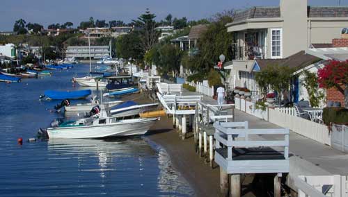
Newport Canals

Newport Dunes RV Resort
Newport Beach Resort & Marina
Newport Beach, CA

San Clemente State Beach
San Clemente CA


DSCN0037

see more on OC towns –
Seal Beach, CA
Huntington Beach, CA
Newport Beach, CA
Laguna Beach, CA
Dana Point, CA
Capistrano Beach
San Clemente CA

Kirch Flat Campground

Kirch Flat NFS
Camp Kings River

kirch flat

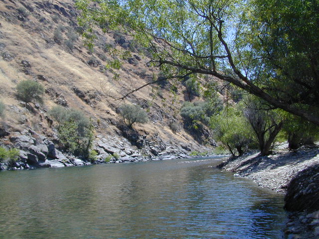
Low elevation Western Sierra: a big river at the beginning of Kings Canyon. Fishing, biking and hiking. The Kings Cyn National Park is directly east, upriver.

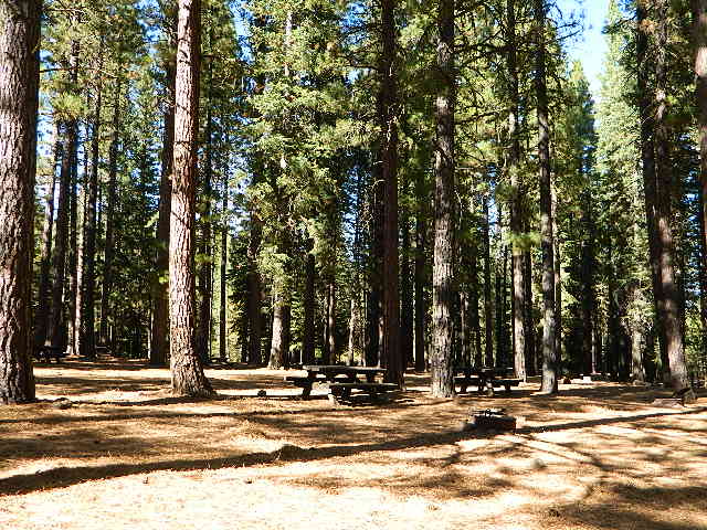
Oak woodlands, steep granite canyons, waterfall hikes, rock beaches, river fishing, mountain biking and wildflowers. Day time temperatures get triple-digit in summer months, so best time to visit is the rest of the year. Small RV accessible, paved road, river close – and best of all, open all year long!

flora west sierra

Kirch Flat Campground

Due EAST of Fresno, California in a large river canyon, Western Sierra Nevada
Located 18 miles up Trimmer Springs Road (paved), 5 miles above Pine Flat Lake. Sierra National Forest; River rafting take-out spot for Middle Kings River.

• Elevation: 1100′
• Number of Sites: 17
• Camp Fee: No
• Vehicle Accessibility: RV 22′ max
• Campsites Reservation: No
• Length of Stay: 14 Days
• Season: Open Year Round
• Trailheads: Kings River

lowerkings

see also Kings River Camping

nearby destinations –

Big Creek Rd #9
Blackrock Reservoir
Dinkey Creek
Dinkey Lakes Wilderness
Fresno, CA
Kings Canyon NP
Monarch Wilderness
Pine Flat Reservoir
Reedley, CA
Shaver Lake, CA
Sierra National Forest
Sequoia NP
Wishon Reservoir

Kern Flats Camping Free

chamise flat

Dispersed Camping Kern River

boondocking
primitive camping
undeveloped sites

KERNVILLE, CA

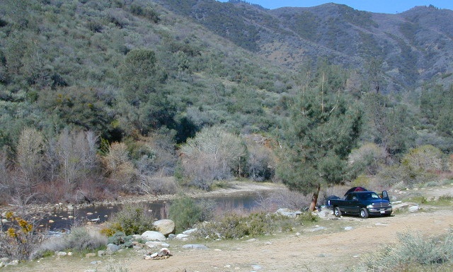
Located north of the small community of Riverkern and south of the Johnsondale Bridge, numerous flat camp spots adjacent to the rivers edge can be found.

johnsondale bridge @ KERNAnt Canyon Dispersed Area
Brush Creek Campground
Calkins Flat Dispersed Area
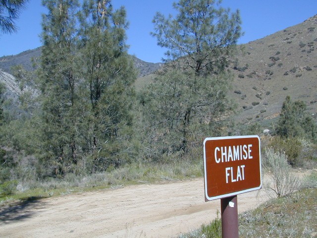
Chamise Flat Dispersed Area
Chico Flat Campground
Corral Creek Campground
Springhill Dispersed Area


Kern River Road
Sierra Way in Kernville travels north along the Upper Kern River & becomes Mountain Hwy 99 – which eventually connects with the Western Divide Highway in Giant Sequoia National Monument.

California NFS Kern RVing kern campgrounds open camping

truckcamping

Dispersed Camping Areas along the Kern River

Open Year Round! These FREE camp areas are called dispersed camping sites. No pavement, no picnic tables, no bathrooms, no piped water. Portable toilets & trash bins may be available in the busier summer months. Campfire permits are required for all campfires, BBQs, and camp stoves. Fire restrictions are common in extreme dry conditions. 14 day limit on camping.

Mountain Biking Kernville kern hiking fishing Kern snow Kern

camping, fishing, kayaking, mountain biking, rafting

Many flats are signed w/ small brown signs, while others are not. Some are actually flat and easy to access, while others are steep, eroded dirt trails unsuitable for RV travel.

Kelly’s Hole, overgrown, unknown, well-known or burnt beyond recognition? Roads End is no more.

Camp sites listed on this page are dispersed camping areas around the Kern River Area. Not all camp spots are listed, cuz many are unnamed. Bring your GPS to mark your favorite camp sites and you can arrive in the dark, late at night, anytime, (avoiding city traffic after work).

chamise pre-wildfire

Several spots known as “dirt flats” are easy accessible right off the pavement of Sierra Way. Primitive river camping, fishing spots and raft launch areas north of town. Vault toilets might be available during busy summer months, but you’re on your own the remainder of the year. Bring a shovel and take a hike, away from the water flow. And if that sounds like too much work for a potty break, maybe you are not cut out for the primitive kinda camping style. No garbage service either: pack it in, pack it out.

Wildflowers are abundant in the Kern Canyon nearly every Spring season (April & May), which is a popular time to enjoy this region. Autumn brings minimal fall colors to this dry, desert mountainous landscape, but the fishing is decent at that time of year.

campfiresCAMPING OUTSIDE OF CAMPGROUND means you must obtain a free fire permit from the local rangers. Sometimes these dispersed spots are fire-safe areas, and you are allowed to have camp fires. Other times campfire restrictions are in place w/ wildfire dangers too extreme and no fires are allowed, anywhere. (Not even inside a developed campground!)

Kern RV spot

river Kern WILDERNESS NOTE: The USDA National Forests web site states that “Camping and campfires within 25 feet of the water’s edge is prohibited due to the Wild and Scenic Designation”, but that doesn’t seem to stop some from setting up right on the fragile rivers edge. Doubtful that this rule is being enforced by the rangers, but consider yourself warned unless they start to get serious about this restriction. Many believe that the free camping along the Kern river is destroying it, so don’t be surprised if these areas get closed or barriers placed at the flats.
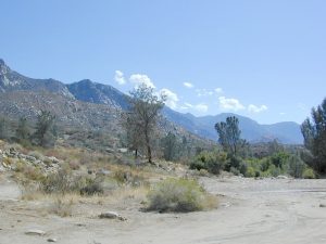
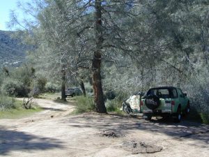
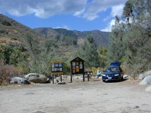
Caulkins FLAT has some new boulder barriers put in place which prevent cars from reaching certain ideal camp spots (right at the waters edge). Tough luck. Now we have to hike more.

California rivers

kern flat camping

Upper Kern River
North of Kernville, CA

all camps below listed from south to north

ALL CAPS = developed campgrounds managed by US Forest Service, w/ links to Kern River Campgrounds. California NFS

HEADQUARTERS CAMPGROUND (NFS)

Both Halfway & Thunderbird used to be dispersed camps, but they were converted to reservation-only Group Campgrounds by the National Forest in 2014

Chico Flat
2500′ elev
Just south of Hospital Flat Campground.
This camp area is known as “Chico Flat Campground” on GoogleMaps.

HOSPITAL FLAT CAMPGROUND (NFS)

Corral Creek
3200′ elev
Hike to Corral Creek Beach & Picnic Area.
This camp area is known as “Corral Creek Campground” on GoogleMaps.

Spring Hill
This camping area is marked as “Upper Springhill Campground & “Lower Springhill Campground” on GoogleMaps.

GOLD LEDGE CAMPGROUND (NFS)

Ant Canyon
Just north of Goldledge Campground, along the Upper Kern River.
South of Salmon Creek; Hike to Salmon Creek Falls.

Chamise Flatchamisespot
12 miles north of Kernville, CA
This camping bluff could be the most forested of all the ‘kern flat’ camping areas, but river is a short hike down a very steep cliff. Fishing is excellent in this stretch.

Calkins Flat
15 miles north of Kernville, along the Upper Kern River. Just south of Fairview (McNalley’s). Sign at the location reads a different spelling of “Caulkins Flat”. Kayak and rafting put-in spot. One of the best sites for large groups. Area is also known as simply “Lower Campground” on GoogleMap.

free kern river camp

FAIRVIEW CAMPGROUND (NFS)

LIMESTONE CAMPGROUND (NFS)

Brush Creek
3600′ elev
Just south of Sherman’s Pass Road turnoff. This place also serves as a Day Use Area, where Brush Creek meets the Kern. Kayaking put in spot. Popular fishing area. Large open dirt parking lot with a vault toilet.


California rivers

Lower Kern River
Southwest of Kernville, CA

Lake Isabella has some shoreline camping with wide open access to the lake. Paradise Cove perhaps?

Historic Keyesville – “off-roaders camping paradise” along the river, but no swimming is allowed due to the extremely dangerous section of river. OHV trails lead (west) down river for many miles. Dirt bikes love the rugged boulder-scapes and steep hills. FREE camping; BLM Kern.

SANDY FLAT CAMPGROUND (NFS) – Open all year long! Terraced & paved hillside with numerous camp sites and plenty of room to spread out. RV campers like this location, due to the proximity to Hwy 178. elev 2300

HOBO CAMPGROUND (NFS)

Remington

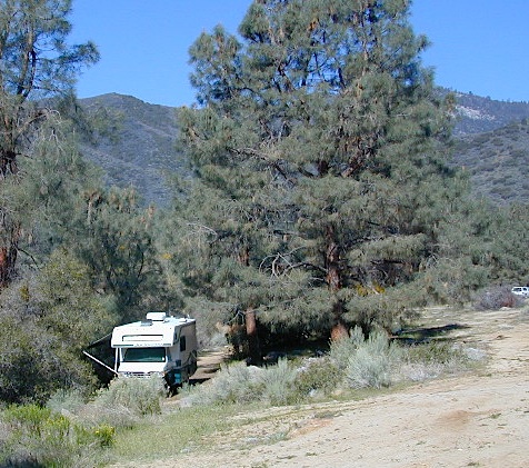
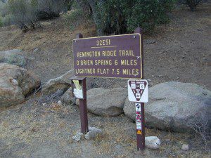
Remington Hot Springs can be a zoo at times w/ the amount of people who love to stop here. A busy dirt parking lot, right across from the Remington trailhead sign. Many vehicles park here daily for day hikes, hot springs, fishing – and people also like to camp out, although camp sites are on slopes (not ideal), only a few and they fill up fast (before sunset).

Total Escape TIP: The very best camps at Remington are actually the ones you hafta hike down to. Less than a half mile down to the rivers edge to find a private mini beach. Pack light and arrive prepared to walk several miles (back & forth, several times).

Old Kern Canyon Road parallels Sierra Highway 178 and sits well above the river, so any flat spots you find will have great views w/ minimal river access.

Lower Kern River
Lower Kern River has very limited camping options.