Walk-In Camps
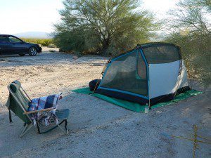
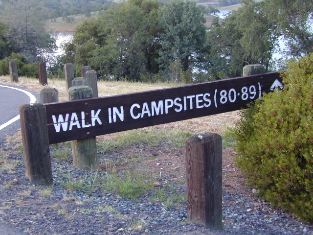
Below are developed campgrounds in California that have walk-in camp spots available. Vehicles are parked and you must carry your gear into the camp site (usually a short distance, but can be up to a half mile).
California Campgrounds with more than a 1-mile trek are not included in this list below. Areas such as – Catalina Island, Crystal Cove SP, Angel Island SP, Point Reyes National Seashore, indeed have many hike-to camps, but most are measured in miles (one way).
walk in campsites are perfect for –
- people who wish not to see cars @ camp
- people who prefer less noise while camping
- physically fit folks, who want exercise
- backpackers, who plan to hit the trails soon
- avid hikers, who may be out day hiking
- cyclists, just passing through
- mountain bike campers
- one nighters, travelers who only stay one night
- late comers to the campground
(hint: these are usually the last campsites to fill up)
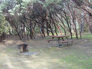
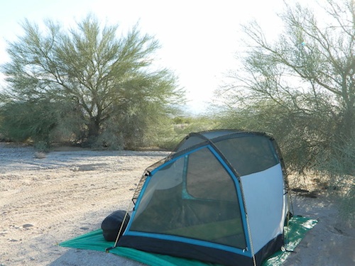
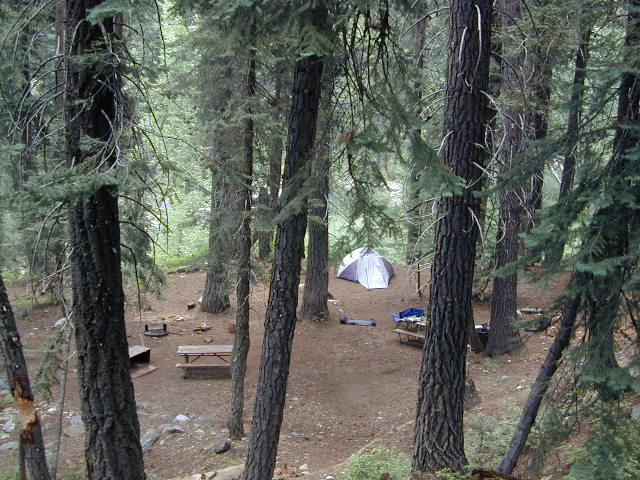
 Walk in campsites are often located away from car campers & RVs. Some camp sites may have more privacy, tucked away in trees, while others have shared community area with fire pits and/or barbecues. All camp sites will have picnic tables and a some kinda toilet nearby. Bear boxes may be available for storing food properly. Sharing these food storage boxes with neighboring campers is common practice.
Campgrounds with walk-in sites range in elevation from sea level marshlands to high altitude alpine lakes. Most of these camps listed below are located inside developed campgrounds with overnight fees. Many are small campgrounds, while others are large hubs of activity. Some may be smaller campgrounds, with just a few camp sites. The most popular places can be reserved, with the links provided.
Many parks can also have day use fees, so know where you park and what time span is allowed. Ask the campground host if needing assistance. Some campgrounds lock their gates at sunset and do not permit entry at night. Others may not allow campers to check in anytime after sundown. Know their rules before you make reservations.
 If you plan on not making camp reservations; make sure to have a plan B or C choice camp – in case your desired campground is already full. Many popular destinations can fill up fast (by noon in the summer).
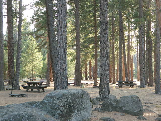
Walk In Camps in California
![]()
![]()
![]()
Andrew Molera State Park, Beach access, North Big Sur Coast
Anthony Chabot Regional Park, East Bay San Francisco
Aspen Grove Campground, Eagle Lake, CA
Austin Creek SRA, Armstrong Redwoods, Guerneville CA
Azalea Cove Campground, Union Valley Reservoir
Bear Campground, North Angeles National Forest
Big Basin Redwoods State Park, Santa Cruz Mountains
Black Rock Campground, Little Grass Valley Reservoir
Blue Lake Campground, PG&E 4×4 @ i80 Donner Pass, Truckee, CA
Boise Creek Campground, Six River National Forest
Bottchers Gap Campground, North Big Sur Mountains
Butano State Park, Pescadero, Santa Cruz Mountains
Butler Creek Camp, Prairie Creek Redwood SP
Carr Campground, i80 Donner Pass, Truckee, CA
Cherry Hill Campground, Butte Creek, Lassen National Forest
Chilcoot Campground, Frenchman Lake, Plumas NF
China Camp State Park, SF @ San Pablo Bay, San Rafael
Chula Vista Campground @ Mount Pinos, Los Padres NF ![]()
Clear Lake State Park, North Wine Country, Kelseyville CA
Cold Springs Campground, Mineral King @ Sequoia NP
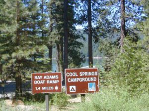
Cool Springs Campground, PG&E Camp, Butt Valley Reservoir![]()
Cottonwood Pass / Cottonwood Lakes
on Horseshoe Meadow Rd, PCT Eastern Sierra @ Lone Pine
Dark Day Campground, New Bullards Bar Reservoir, N Sierra
Donner Memorial State Park, Interstate 80 @ Truckee CA
Dry Lagoon Walk-In, Humboldt Lagoons State Park
Dry Gulch Campground, Sierra NF @ El Portal
18 mi from Yosemite Valley
El Capitan State Beach, North Santa Barbara Coast
Gaviota State Park Campground, North Santa Barbara Coast
Glory Hole Campground @ New Melones Reservoir, Gold Co
Granite Flat Campground, Truckee River @ Lake Tahoe
Gualala Point Park, 6 sites @ Gualala River, Sonoma Co Park
Half Moon Bay State Beach Campground, Half Moon Bay
Headquarters Campground, Salton Sea SRA @ Mecca CA
Henry W Coe State Park, Santa Cruz Mountains
(wilderness permits required)
Horseshoe Meadow, Cottonwood Pass trailhead, Inyo NF
Intake Campground, Bishop Creek, Eastern Sierra
Jackson Flat Walk-In Camp PCT @ Angeles NF
Jedediah Smith Redwoods State Park Campground, NorCal
Julia Pfeiffer Burns State Park, Big Sur Coast
Kidd Lake Group Campground, PG&E @ i80 Donner Pass, Truckee, CA Kayak, canoe, hike-in camp sites
Kirby Cove @ Golden Gate National Recreation Area
5 tent camp sites on a bluff over the mouth of San Francisco Bay; reservations required
Klamath National Forest –
small campsites on a river
- East Fork (Salmon River @ Cecilville)
- Lover’s Camp (Marble Mountain Wilderness)

- Kangaroo Lake (NorCal PCT access)
- Matthews Creek (South Fork Salmon River)
- Shadow Creek (East Fork of Salmon River)
- Sulphur Springs (Marble Mountain Wilderness)
- Trail Creek (Upper Salmon River)
Lassen National Park – Southwest Campground 6700′ elev.
Liberty Glen Campground @ Lake Sonoma Recreation Area
Limekiln State Park Campground, Hwy 1 Big Sur Coastline
Lone Rock Campground @ Union Valley Reservoir
MacKerricher State Park Campground, Mendocino Coast
Macumber Reservoir, PG&E Camp, West of Lassen NP![]()
Manresa State Beach Campground, Monterey Bay
Marmot Rock Walk-In Camp, Courtright Reservoir
Mary Smith Campground @ Lewiston Lake, Trinity River
McCabe Flat Campground BLM @ Merced River Yosemite![]()
Merced Recreation Area, Merced River, Mariposa CA
3 small, developed campgrounds on dirt road
Briceburg, Yosemite Hwy 140
Mesa Campground, Silverwood Lake SRA, Cajon Pass (I-15)
Mill Creek Campground @ Bucks Lake, Plumas NF
Mill Creek Campground, Del Norte Coast Redwoods SP
Montana de Oro State Park, Morro Bay, San Luis Obispo ![]()
Mosquito Flat Trailhead Camp, One night limit! Camp is for backpackers heading into back country at the end of Rock Creek Road, Inyo NF ![]()
Niagra Creek Campground, OHV 4×4 trails, Stanislaus NF
North Battle Creek Reservoir, PG&E Camp, West of Lassen
North Grove Campground, Calaveras Big Trees State Park
Oak Bottom Campground @ Whiskeytown Reservoir NRA
(*wildfire 2018)
Onion Valley Campground, Eastern Sierra @ Independence, CA![]()
Pantoll Campground, Mount Tamalpais State Park, Marin
Pfeiffer Big Sur State Park Campground, Big Sur Coast
Pigeon Flat Campground, Stanislaus River, Dardanelle CA
Pomo Canyon Walk-In Camp, Sonoma Coast State Beach
Portola Redwoods State Park, Santa Cruz Mountains
![]() Prather Meadows Camp, Bunny Flat @ Mount Shasta
Prather Meadows Camp, Bunny Flat @ Mount Shasta
Providence Mountains SRA @ Mitchell Cavern, Mojave
Railroad Flat Campground BLM @ Merced River
Briceburg Yosemite Hwy 140![]()
Redwood National Park, NorCal Coast
(no reservations, no fees. open all year) ![]()
- Flint Ridge Walk-In
- Nickel Creek Walk-In
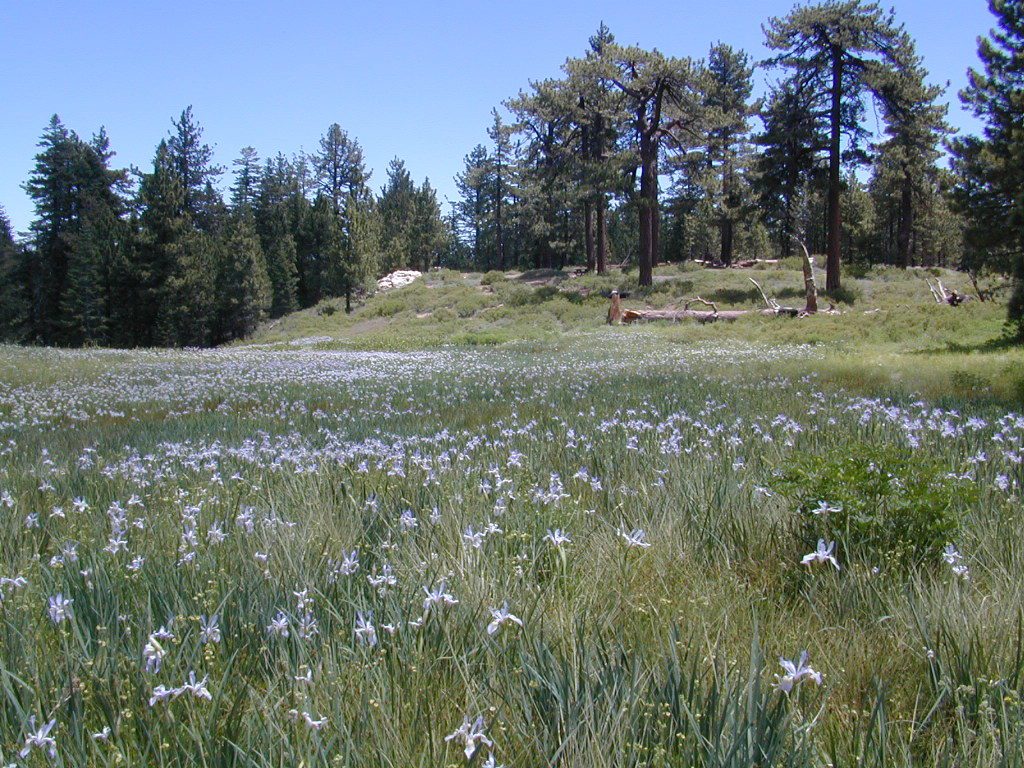
Refugio State Beach, North Santa Barbara Coast
Rock Creek Campground, Eel River @ Standish-Hickey SRA
Roxie Peconom Campground, Bizz Johnson Trail, W Susanville ![]()
Rucker Lake Campground, PG&E @ i80 Donner Pass, Truckee, CA
Russian Gulch State Park Campground, Mendocino Coast
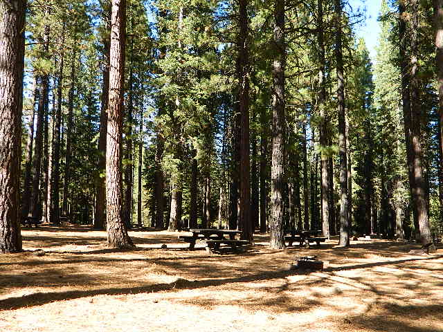
San Clemente State Beach, Orange County Coast
Sanborn Campground, Skyline County Park, Saratoga CA
Sand Flat Campground, Clark Fork, Carson Icerberg Wilderness
Sawmill Walk-In Campground, 9800′ elev @ Tioga Pass, E Yosemite
Silver Creek Campground, Truckee River @ Tahoe
Southfork Recreation Camp, south shore @ Lake Isabella, CA
Southwest Walk-In Camp, 6700′ elev @ Lassen Volcanic NP
Squaw Leap Campground, San Joaquin River, Auberry CA
Stillwater Cove Regional Park, N of Fort Ross, Sonoma Coast
Table Mountain Group Camp, Bishop Creek Canyon, Inyo NF
Tahoe National Forest
Donner Area Camping Lakes
NFS 530-265-4531
- Carr Lake Campground
10 miles north of Highway 20
6,700′ elev
5 walk-in campsites - Rucker Lake Campground
6 miles north of Highway 20
5,462′ elev
7 walk-in campsites - Sterling Lake Campground
9 miles north of Interstate 80
7,000′ elev
6 walk-in campsites
Toad Lake Walk In Camp, PCT @ Shasta National Forest
Tuolumne Meadows Camp, Yosemite National Park
(reservations & wilderness permits required)
Union Reservoir Walk In Camps, Arnold CA
Union Valley Reservoir – Eldorado National Forest
- Azalea Cove Campground
- Fashoda Campground
Van Damme Redwoods State Park, Mendocino Coast
Walker Pass Campground, PCT, East of Lake Isabella CA
Whitney Portal Trailhead Camp, Mount Whitney, Eastern Sierra
Willow Placer Campground BLM, Merced River Recreation Area
Briceburg Yosemite Hwy 140
Woodside Campground, Salt Point State Park, Sonoma Coast
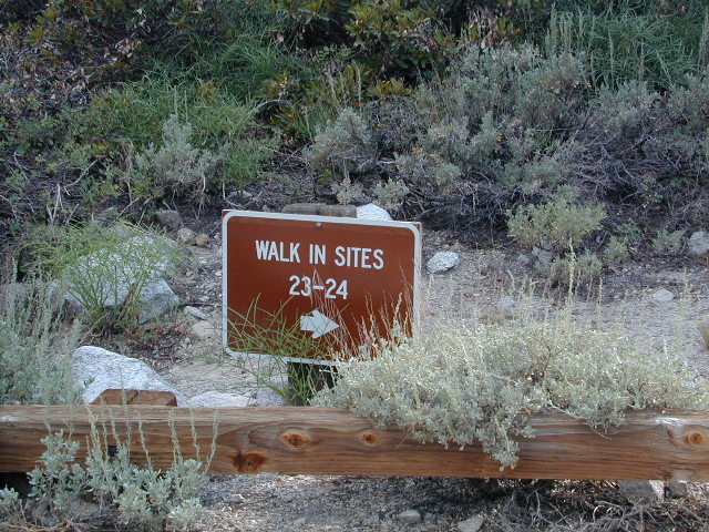
Walk in campgrounds are considered ‘tent camping‘, as opposed to ‘car camping‘, which is literally camping next to your vehicle. This type of hike-in camping may also be referred to as ‘trailhead camping‘, as many ideal hikes begin at these prime locations. Boat-in, bike-in or hike-in camp sites are also available at some of these locations.

