Tag Archives: California

Oregon Hill Road

oregon hil lroad

Oregon Hill Road –
Sierra Nevada scenic drives

also known as Challenge Road, driving from the lake up

Oregon Peak & Little Oregon Creek
Bullards Bar & North Fork of the Yuba River

2800′ elevation

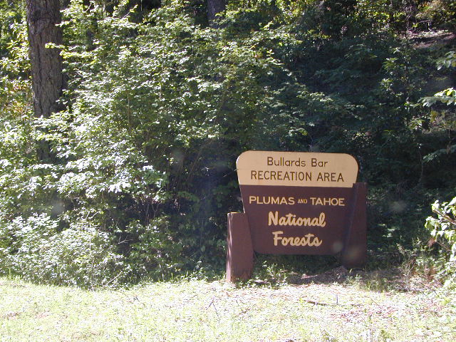
Oregon Hill Road connects the rural residential community of Challenge to the recreation lake called Bullards Bar Reservoir, which is bordering on the Tahoe National Forest and Plumas National Forest park boundaries.

This bumpy, little, back road route is kind of a “short cut” for those driving from Nevada City to Oroville, CA.

From the Sacramento Valley, N of Marysville, take Hwy 70 N to Honcut, exit freeway and find your way east to La Porte Rd. Take LaPorte Road past Brownsville and up to the next neighborhood called Challenge; Turn right at the small, one room post office in Challenge and continue 14 miles down to New Bullards Bar.

Or, if coming in to this lake from Gold Country Highway 49, take Moonshine Road or Marysville Road. Two developed campgrounds are located at the lake shore, on the east side. Boat in camping is most popular at Bullards Bar. The closed campground on the ridge (west side, above the lake) is called Burnt Bridge and has been non operational for years now, due to numerous wildfires.


View Larger Map

bullardsbarrecr

New Bullards Bar Reservoir is a prime water sports recreation and house-boating destination, nestled in between the Gold Country and the Sacramento Valley near Yuba City, CA.

Santa Lucia Wilderness

RanchesAG
Rancho Arroyo Grande, California

Santa Lucia Wilderness

South San Luis Obispo Hiking Trails

18, 679 acres
Central California Mountains
East of Arroyo Grande, CA
US Highway 101
exit #187A – Grand Ave

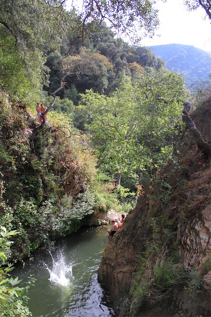
backpacking, camping, creek fishing, hiking, swimming holes, waterfalls

Santa Lucia Wilderness is the mountain range in between Santa Margarita Lake and Lake Lopez inside Los Padres National Forest, in a very remote and rugged portion of San Luis Obispo county. In the hills behind Arroyo Grande, past the Huasna turn off, above the local reservoir, beyond the big ranches – the waterfall trails of Santa Lucia can be found. Super steep canyons with only two dead end roads leading to trails. Waterfalls, swimming holes, way back there behind Piney Ridge.

tallest mountain peak elevations

  • Bald Mountain – 2834′
  • Lopez Mountain – 2868′
  • Black Butte – 2749′

Upper Lopez Canyon can be challenging drive with water in the creek, but it has 3 trailheads back in this canyon.

Pozo Road / Hi Mtn Road (#30S05 on the way to Pozo) will lead to a Santa Lucia trailhead @ Hi Mtn Campground and on to Big Falls trailhead. Locals call the whole route POZO, which leads from Lake Lopez to Pozo.

Road #15E11 Garcia Ridge OHV trail is off this same main route, Hi Mountain Road. The Rinconada trailhead can be found along the paved Pozo Road, west of the Pozo Saloon and east of the KOA Campground.

San Luis Obispo Area
HIKING MAPS

NGLPNFW

Los Padres Big Sur Map

The Plunge Pool

Pumpkin Festival @ Half Moon Bay

Pumpkin Festival

Half Moon Bay Pumpkin Fest

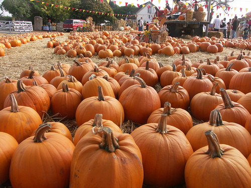
This Pumpkin Festival is the one in Half Moon Bay, up near San Francisco. Been running nearly 50 years. Traditional, wholesome, family fun outdoor weekend on the coast near the Bay Area. Plenty of Campgrounds and Lodging nearby for visitors.

Annual event; October

HALF MOON BAY CA

pumpkinfest.miramarevents.com

The Big One

PA181004

Pumpkin Festival

Mahogany Flat Campground

Mahogany Flat – Death Valley National Park

mahgsign

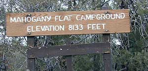
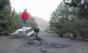
If you want trees in your Death Valley visit, than this is it. Mahogany Flats Campground is located in a juniper forest on a ridge line of the Panamint Mountains. Often windy camp sites with the highest elevation campground in the area. If you seek to get away from the desert heat, this may be the best option. Spectacular views to the east, over the Death Valley basin. Access to hiking, backpacking, off roading, mountaineering opportunities. A great place to escape summer heat, but be warned of thunderstorms. Picnic table, fire ring, pit toilets – maintained with NPS.

  • Elevation: 8,133′
  • Number of Sites: 10
  • Vehicle Accessibility: High Clearance, recommended. No RVs or trailers. 4×4 needed in heavy rain or snow.
  • Campsites Reservation: No
  • Length of Stay: 30 Days
  • Season: March – November
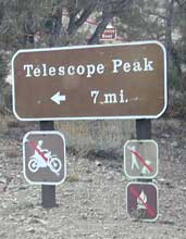
  • Trailheads: Telescope Peak & Tuber Canyon

greatspot_iDirections:

From Stovepipe Wells, follow Highway 190 W to Emigrant Canyon. Turn left on Wildrose Road and follow it thru the tight rocky canyon, climbing in elevation the whole way.

Passing Wildrose Campground where the pavement ends, past charcoal kilns, climbing in elevation past the pinyon pines at Thorndike Campground, up, up, way up Mahogany Flat Road.

From Panamint Valley, take Wildrose Road up. Turn right to Mahogany Flat Rd and proceed on the dirt road to the top.

View Larger Map

The Telescope Peak mountain range is the only place in the lower 48, where you can see both the tallest peak (Mt Whitney) and the lowest point (Badwater Death Valley).

Death Valley MAPS –

Death Valley Park – NatGeo
Death Valley Topo Map – Tom Harrison

Nearby attractions:

Death Valley National Park
Panamint Valley
Ballarat Ghost Town
Skidoo Town Site
Charcoal Kilns
Telescope Peak
Tuber Canyon
Tucki Mine

DSCN0053

telescopehike

Pear Festival

pearpacking

Kelseyville Pear Festival
Pear Fest Lake County

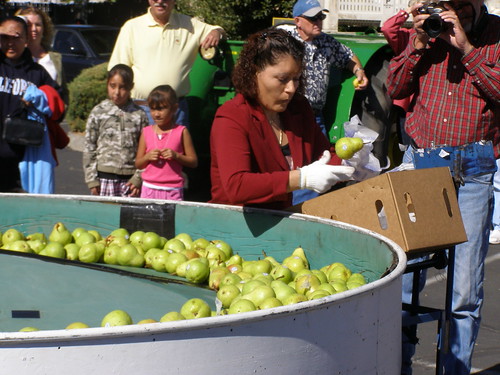
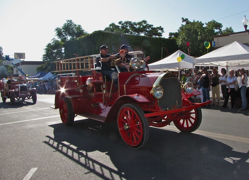
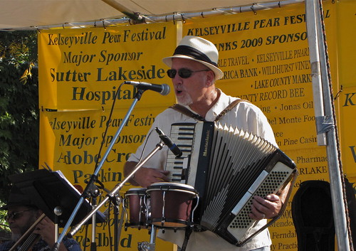
Main Street in Kelseyville comes alive,w/ this family-focused event to showcase the areas history, agritourism, local businesses, craftsmen and community services. This is a fun filled day that starts off with a home town parade. Festivities include three stages with musicians, dancers and cloggers; horse demonstrations; antique car, engine and tractor shows; quilt shows; art shows and an entire pavilion devoted to all things ‘pear.’ Food vendors offer an array of scrumptious selections. Wine and beer tasting along with pear margaritas round out the choices. Pear pies and desserts always sell out.

Annual event; September
(one day only)
707-279 9022

Kelseyville, CA

pearfestival.com

IMG_0642

IMG_0658

Castle Crags Wilderness

NorCal Hiking
Castle Crags State Park
CastleCrags Wilderness

12,232 acres
Northern California Mountains
South of Dunsmuir, CA
Interstate 5
exit #724 – Castella

backpacking, camping, creek fishing, hiking, mountaineering, lakes, rock climbing, snowshoeing, swimming, waterfalls

About an hour north of Redding, you can see those impressive peaks off to the left above the lush forest. Way up off the west side of I-5, lies a hiking paradise of scenic lakes, waterfalls and wildflowers. Opposite the freeway from Mount Shasta; Just south of Lake Siskiyou.castle crags

Castle Crags Wilderness neighbors the Castle Crags State Park, which is surrounded by Shasta-Trinity National Forest. This area is named for 6,000′ tall glacier-polished peaks and pointed crags. Due to their relatively low elevation, year-round recreation, hiking, backpacking, and rock climbing are popular spring through fall. Snowshoeing near Castle Lake is excellent.

Castle Crags State Park
530-235-2684

Castle Crags State Park Campground
76 developed campsites
6 environmental campsites

Max Camper Length: 27′
Max Trailer Length: 21′

28 miles of hiking trails (2.7 mi access trail to Castle Crags Wilderness)
The Pacific Crest Trail also passes through the park.
Dogs not allowed on park trails.

Shasta-Trinity National Forest
Mount Shasta Ranger District
204 West Alma
Mt. Shasta, CA 96067
530-926-4511

Climbing at the Crags:
the Cosmic Wall & beyond

regional history: The northwest area contains the largest glacial cirque, Castle Lake, which is near where the Modoc War’s 1855 Battle of Castle Crags took place. Now a historical landmark, the battle was fought on a ridge saddle between the lake and what is known as Battle Rock. The Wintu tribe inhabited the area, they called the crags the Abode of the Devil and the Spanish explorers called it Castle del Diablo (Castle of the Devil.) read more on wiki

nearby towns –


View Larger Map

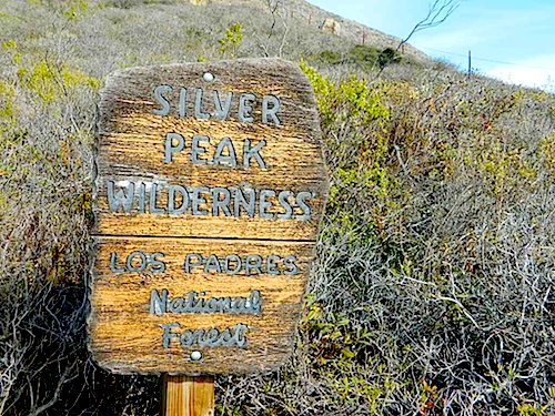
Silver Peak Wilderness

Hiking the Southern Big Sur Coastline

faded public lands
Sun-bleached, wooden Los Padres sign – near Salmon Creek trailhead.

Silver Peak Wilderness, Big Sur Coast

Central California Coast

31,555 acres

8 miles South of Gorda, CA
along Pacific Coast Hwy 1
near Big Sur, CA
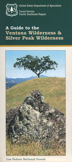
Los Padres National ForestBig Sur Wilderness Map

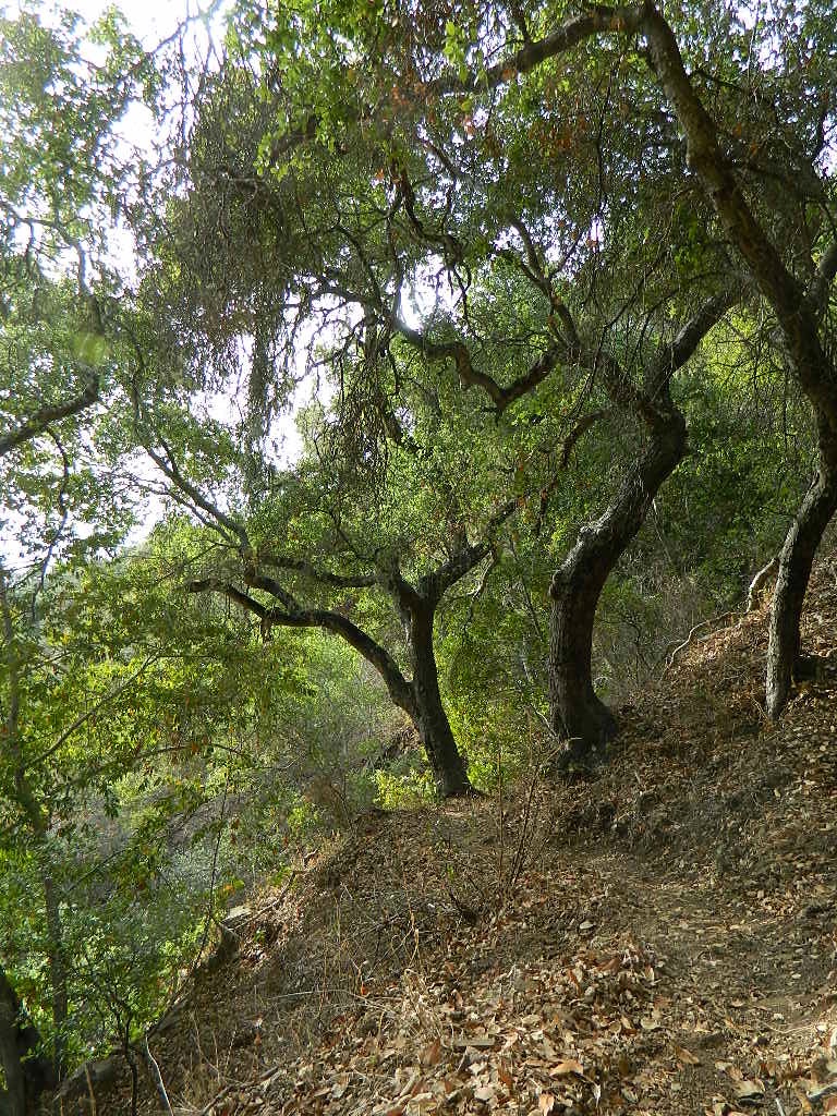
Backpacking and hiking trails on the Pacific Coast, steep terrain next to ocean. Coastal redwood canyons, oaks hills, great views. The neighboring Ventana Wilderness is located just north of Silver Peak hiking trails.

Southern Redwood Botanical Area

Silver Peak –3,590′ elevation
Alder Peak –3,744′

trailheads

  • Salmon Creek Trail #5E09
  • Hwy 1 @ connection Trail #5E10
  • Alder Creek Trail #5E09

mm

mile markers along Pacific Coast Highway 1
(Monterey County)

  • Cruickshank Trailhead – 6.5 mm
  • Soda Springs Trailhead – 3.8 mm
  • Buckeye Trailhead – 2.4 mm
  • Salmon Creek Trailhead – 2.2 mm

developed campgrounds nearby –

nearby towns –

Ocean View Hikes Big Sur


View Larger Map

Oak Foothills

Cerro Noroeste Road

Fresh Blacktop 2011

Scenic Drive California: Cerro Noroeste

Tejon Pass, Frazier Mountain, Tecuya, San Emigdio, Mount Pinos, Apache Saddle, Mount Abel, Quatal Canyon, BitterCreek, Klipstein Canyon

Los Padres NF – Cerro Noroeste Road #9N05

One of the best driving roads in Central California!

Motorcycles love this route.

Los Padres National Forest stretches from Ojai to Monterey, mostly along the California Central Coast. If you are traveling on Interstate 5 (atop the Grapevine, Tejon Pass) and you wanted to head westbound,  then you really want to take this scenic route.

Exit Frazier Park Rd @ Lebec, on the top of the Grapevine (Interstate 5 N of jct Hwy 138). Proceed westbound thru the Frazier Park stop sign (5 mi), up the hill past the turn off for Lockwood Valley Road. Frazier Mountain Park Road now becomes Cuddy Valley Rd, continue up to pine trees. Turn right on Mil Potrero Highway & drive thru Pine Mountain Club (4-8 mi). Continuing past the golf course, heading up to Apache Saddle.

Approximately 6000′ at a forested intersection is the ‘saddle’ with ranger station. The paved road is now considered Cerro Noroeste Road.

A left turn will bring you up to Cerro Noroeste 8286′ elevation. (10 mi/closed in winter) This mountain peak is also known as Mount Abel.

At the saddle, continuing straight (veering right) through the P&J forest (pinyon and juniper) to the gorgeous rolling hills, fog & cloudscape countryside of ..

HUDSON RANCH ROAD

WTF? Recently county authorities have renamed Cerro Noroeste Rd to Hudson Ranch Rd, which has many locals infuriated and of course, keeping visitors confused. There is a popular Hudson Ranch up near Napa Wine Country, but this is not named after that location. Rumor has it that one local family complained to Kern County about the difficulty of spelling ‘Cerro Noroeste’ for outsiders. Go figure! Want a local roadway name changed? Easier process than imagined – just file a suggestion w/ Kern County.
HUDSON RANCH ROAD

Bitter Creek Wildlife Area & Highway 166 (23 mi) are all out this way. Sports cars & motorcyclists love this route, so do hikers & hunters. Every weekend you can find hundreds of bikes cruising this scenic byway.
Best Sunset Drives
Numerous forest roads can be found out this way. Quatal Canyon #9N09 is a great side route to explore if you like long dirt roads, red dirt, lupine & pinyon pines. Chumash Wilderness backcountry access is way back in this super scenic canyon. Toad Spring Campground is a small site located near the top of the canyon, only half mile off the pavement.

Forest Road #9N27 leads up to Caballo Campground & even further out to the steep ridge line, Marion Campground & Blue Ridge 4×4 trail. Across from the Apache Saddle Ranger Station, San Emigdio dirt road #9N34 climbs to 7400′ elevation and has a great viewpoint. Unsigned San Emigdio 4×4 trail starts at the viewpoint and heads east.

Way out west on Cerro Noroeste Road is Valle Vista Campground, with new a outhouse. This small campground is perched on the edges of red cliffs overlooking the great Central Valley of California.

Klipstein Canyon, a side route/short cut to Taft, offers decent wildflower displays in springtime. San Andreas faultline uplift is also evident on this detour. Road Closed barriers seem insignificant, as many drivers just skoot around them.
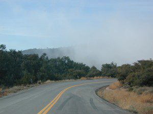
CerroNoroeste

nearby towns:

Pine Mountain Club, CA
Frazier Park, CA
Ventucopa, CA
Taft, CA
New Cuyama, CA
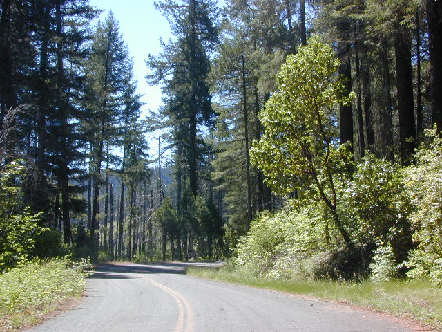
Hot Springs Hikes

Soaker

California Hikes to Hot Springs

California has many natural hot springs, most requiring a drive into the mountains. Some are rustic resorts, some are developed campgrounds, most are located on paved roads. The very remote tubs are the ones hidden in the secluded wilderness  – only accessible by foot.

campfires Plan to camp overnight? Fire Permits are required if you plan to build a campfire or use a camp stove.

HIKE-IN ONLY HOT SPRINGS

hikes

Buckeye Hot Springs requires a steep half mile trail down to the creek edge.  N of Bridgeport. Eastern Sierra @ Buckeye Creek Road #017.

Deep Creek Hot Springs is a SoCal favorite, but with that convenience comes the crowds. Located on the desert side of the mountains from Lake Arrowhead.

Gaviota Hot Springs is a short hike along a lush canyon. Close to US Hwy 101 and located in between Goleta and Solvang.

Kern River Gorge, Sequoia NF – Both Jordan Hot Springs & Kern Hot Springs accessible only by backpacking many miles, from Jerky Trailhead. Backpack and horseback access only. Golden Trout Wilderness.

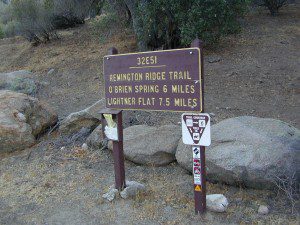
Remington HRemingtonot Springs requires a steep but short half mile trail down to the river edge. Lower Kern River. Old Kern Canyon Road @ Remington Trailhead# 32E51 – Remington Ridge Trail is a multi-use trail. Bike, hike, horseback on oaks hills. Wildflowers in Spring.

Sespe Hot Springs requires an 18 mile round trip hike. Usually enjoyed as an overnight backpacking trip. A very challenging and long trek as a day hike. Los Padres National Forest.

Sykes Hot Springs requires a strenuous 10-mile hike from Big Sur Station. Hike inside of Los Padres NF. Usually enjoyed as an overnight backpacking trip, or a very long day hike for the fittest of folks.

gaviota pools

California hikes

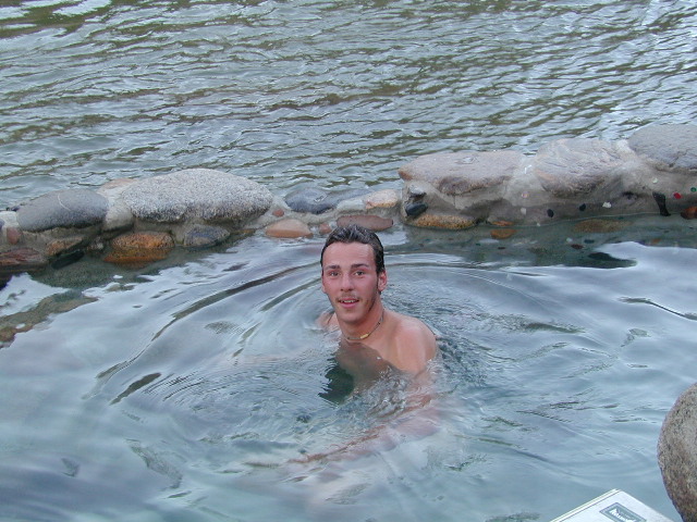
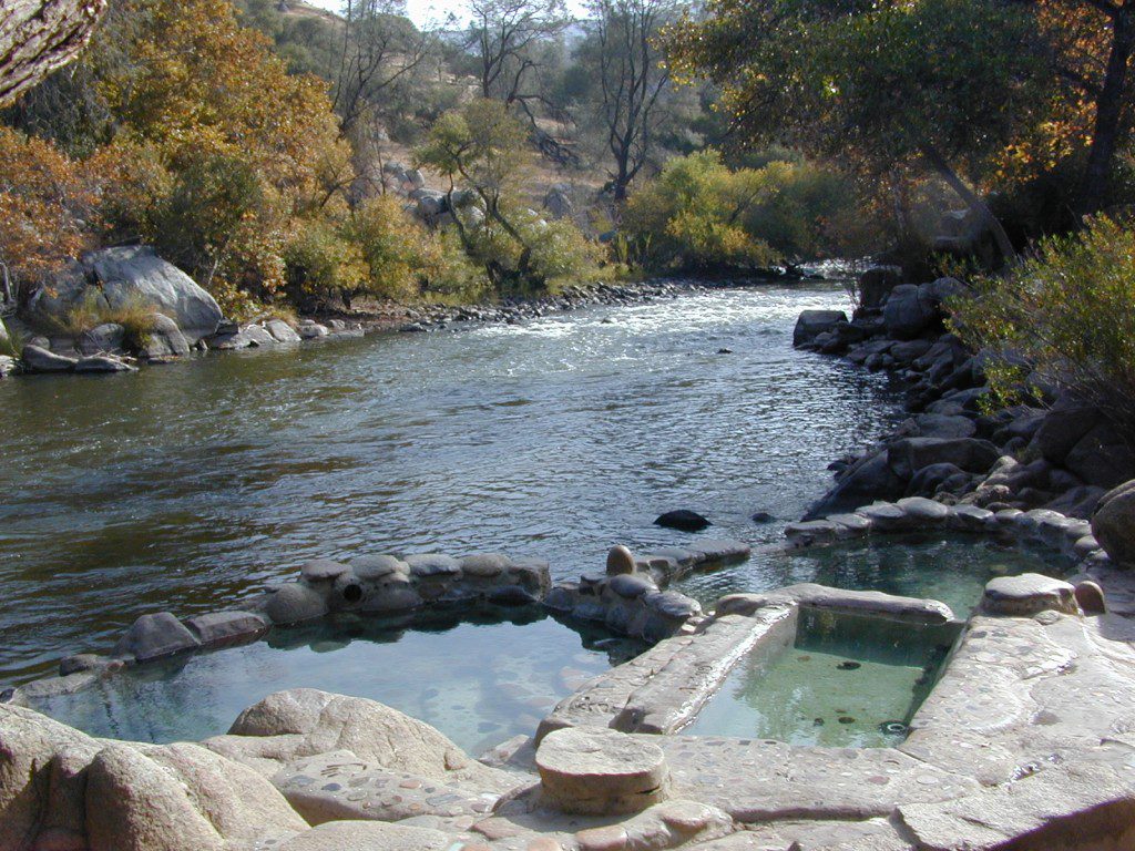
Kern Hot SpringsRemington tubs overlooking the Lower Kern River

Gaviota Hot Springs

Las Cruces Hot Springs
also known as Gaviota Hot Springs,
and as Gaviota State Park Hot Springs

Top Pool

W of Santa Barbara, W of Goleta, CA
North of Gaviota State Park

US 101

US Hwy 101 @ PCH 1 exit
follow frontage road on south side of the 101


View Gaviota Hot Springs in a larger map

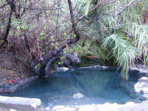
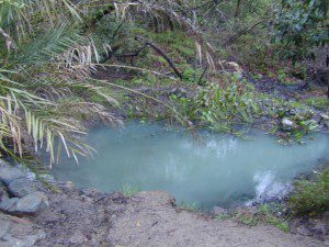
This soaking spot is a convenient stop for those traveling the 101 on the California Central Coast. The hot pools are located in an overgrown canyon, about half mile up the hill from the parking area. The natural earthen pools tend to be warm, mushy, and smelly (like sulfur) but never super hot.

These are old, historic, volunteer built pools that are not maintained regularly, so keep that in mind when comparing this location to other well-manicured springs. Many of the locals that care for these sacred spaces only get paid back by reckless visitors with litter, graffiti and vandalism. If you want places like this to stay open, we must do our part to ensure that we leave it better tan we found it.

Parking fee, lot managed by California State Park. Gate closes at dark.

gaviota park signs

1 mile hike round trip

Poison oak, snake and ticks can be a problem at this location, so do be on the lookout.

swampy pool

hiking trails from here –
Gaviota Peak (fire road) and Campbell Trail (unmaintained)

Old Kane Spring Road

Kane Spring California

Quartz Wash Anza

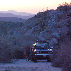
Old Kane Spring Road parallels California SR Highway 78 a few miles from Ocotillo Wells, in east Anza Borrego Desert. A graded dirt road that can often gets sandy and you might need to keep you speed up certain soft spots. A few dead end canyons lead southward; hidden camp sites can be found out this way if you have the time to look. Harper Canyon, perhaps. See below for more on camp sites.

San Diego Desert Map

Anza Borrego Desert State Park Map

San Diego Backcountry Map

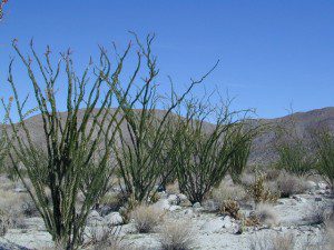
Spring Wildflowers can be quite spectacular out along this desert trail. Towering red-tipped ocotillo in some canyons serve as great backdrops to a perfect picnic lunch.

Ocotillo California

The Kane dirt route peels off the highway about a mile east of an area known as The Narrows. Marked on the highway as a small hiking trail, the highway curves at a narrow section of the canyon, as San Felipe Creek wash carves its way through the harsh landscape.

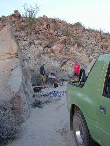
primitive campThe best primitive camping in this area is actually west of The Narrows. You might need a high clearance vehicle to reach some spots and a good map with the creek/wash names. Make sure to look for these – Free Camping

  • Nolina Wash
  • Pinyon Wash
  • Quartz Vein Wash

pinyonoco vcampoutpinyonwsh

On the opposite the highway is Ocotillo Wells SVRA, where off road enthusiasts can get their kicks. Wind caves can be found in Butte Canyon, where the 4×4 trails abound. Kane Springs intersects Split Mountain Road. The Elephant Trees, Split Mountain and more wind caves are south of the railroad tracks.

Anza Borrego Desert Map


View Larger Map

Keough Hot Springs

Keough Hot Ditch
HWY 395. Bishop. First Keough visit w/ Ted, 1990

Keough Hot Springs

Keough Hot Tubs, Eastern Sierra

Keough Hot Ditch

7 miles North of Big Pine & 7 miles South of Bishop;
on the west side of Hwy. 395

Keough California is comprised of two soaking spots – a small resort and the primitive tubs below. An Eastern Sierra rustic Hot Springs Resort w/ campground, tent cabins rentals and nice landscaping. Big, clean hot pools at the top of the road. Entrance fees, trees and vegetation, next to the mountains. Seniors and families frequent this place. Swimsuits are required.

Keough’s Hot Springs Resort
800 Keough Hot Springs Road
Bishop, CA 93514
760-872-4670

Keough Hot Springs

The Ditch

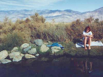
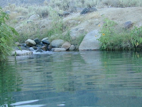
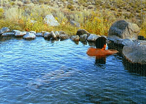
Below the resort and above the highway, are some primitive, free hot pools that require dirt road driving. Public nudity is common. Open 24/7 w/ several brush lined pools on the eastern slopes of the Sierra Nevada Mountains overlooking the high desert of the Owens Valley. Quite impressive for being just off the highway. Buzzing, huge powerlines overhead are one of the only drawbacks of this soak spot. This place can get crowded at certain times.

Posted: No overnight camping allowed at these lower hot springs.

Soaking at Sunrise

US Highway 395:
Look for the turn off in between Bishop and Big Pine, California. Take the Keough Hot Springs Road up hill until the second dirt road, turn right and the primitive hot springs will be on the left, just beyond the cold stream crossing. Sometimes a high clearance might be needed. Cars should park and walk the if unsure of the terrain. Do not park right next to the soaking tub, as the ground is too weak and vehicles have been known to slide in, unexpectedly. No kidding!

Plenty great camping all around the Eastern Sierra region. For campsites with cooler temps, higher elevation, pine trees & creeks: Head for the Glacier Lodge Rd – Inyo Road #9S21, West outta Big Pine.
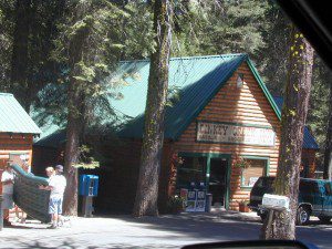
Adventurous 4x4s can try super remote Coyote Flat, a super high elevation pinyon plateau that overlooks Bishop. Also Highway 168 W outta Bishop will lead to primitive camping areas like The Buttermilks, a rock climbing area. Further up the hill is alpine lake and creek camping in aspen groves.

Many developed Campgrounds in the region.


View Keough Hot Springs in a larger map
also nearby:
Inyo Forest Maps

Dinkey Lakes Wilderness

Central Sierra Nevada

Wilderness lakes
Courtright Reservoir w/ CLIFF LAKE trailhead

Dinkey Lakes California

Dinkey Creek Road
Tom Harrison Dinkey Map East of Shaver Lake, Hwy 168

30,000 acres

Sierra National Forest

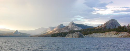
Located in the high elevations between Shaver Lake and Courtright Reservoir is the Dinkey Lakes region. Granite domes and alpine lakes are the key feature of this mid-Sierra forest. John Muir Wilderness is located on the east (right) side of Courtright, while Dinkey Lakes Wilderness is on the opposite west (left) side.

  • alpine lakes
  • backpacking
  • camping
  • creeks & streams
  • cross country ski
  • fishing
  • granite domes
  • horseback trails
  • hiking trails
  • off-roading
  • rock climbing
  • snowmobiling
  • snowshoe
  • stargazing
  • wildflowers
  • wildlife viewing

4 wheel drive trails serve some of the Wilderness boundaries. Dusy Ershim OHV Trail (pronounced ‘doosey’) crosses the boulder strewn terrain for 30 rugged miles, from Courtright to Kaiser Pass. Road #8S10 is known as ‘Red Lake Road’ and pretty popular among 4x4s and fishermen. This high clearance 4×4 trail accesses both scenic lakes – Red Lake and Coyote Lake, as well as Dinkey Wilderness trailheads.

Trailhead Access:

Access the trailheads on the north side of Dinkey Creek Road, a paved route which connects Shaver Lake to the Sequoia McKinley Grove and then on to Wishon and Courtright. Rock Creek Road #9S10 becomes dirt and leads up to the Dinkey Lakes hiking trails.

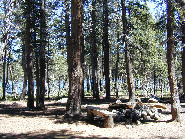
Paved Dinkey Creek Road leads out to the Trails End trailhead. Dinkey Creek and main Campground is located at 5840' elevation and tucked deep in the forest, about 10 miles east of Shaver Lake. Beyond the Sequoia grove is Wishon & Courtright Reservoirs w/ Cliff Lake trailhead. All the other trailheads located at these large lakes lead over to John Muir Wilderness.

Paved Dinkey Creek Road leads out to the Trails End trailhead. Dinkey Creek and main Campground is located at 5840′ elevation and tucked deep in the forest, about 10 miles east of Shaver Lake. Beyond the Sequoia grove is Wishon & Courtright Reservoirs w/ Cliff Lake trailhead. All the other trailheads located at these large lakes lead over to John Muir Wilderness.

The Dinky Creek locale (on most maps) is located at the main Dinky Creek Campground, along Dinky Creek near the historic Dinky bridge on a small, paved, side route north of the main road. Although this summer vacation area is well signed, people can often miss this turn, especially at night.

DSCN0005

USDA map Two main hiking trail systems can be accessed from the west, via Tamarack Ridge (parking at Hwy 168). Both dirt routes from highway, Road #9S09 and Road #8S10 lead out to Dinkey trails, although one is rugged 4×4 trail, Red Mountain OHV, and the other is a long, graded dirt road.

Kaiser Pass Road to the north side has even more trails leading into Dinkey. Badger Flat and White Bark trailheads are closest points to Huntington Lake, CA. Bolsillo trailhead is way back near Florence Lake, which also has a major trailhead and paved parking.

NFS


local rangers:

Sierra National Forest
High Sierra Ranger District
29688 Auberry Rd
Prather, CA 93651
559-855-5355

Secluded Camping
4×4 Camping at Coyote Lake


Cleaning Up Litter

Litter ay Camp

Garbage on the Back Roads
Wilderness Ethics

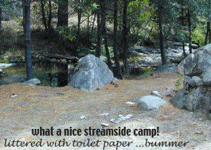
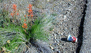
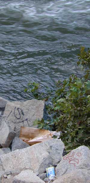
Litter seems to be nearly everywhere. Although there are trash cans at most campgrounds & developed picnic areas, some lazy folks still seems oblivious to the fact that their ignorance is causing an eye sore for the rest of us. Does that bunny rabbit really need to look at your abandon water bottle in the bushes, for the next 7 years?

littercup

Remove Trash while Camping & Picnicking

  • Pack it In; Pack it Out, means if you bring it out there, please take it back home (or to a proper garbage disposal site).
  • Bring work gloves when camping; do messy job faster and have clean hands
  • Bring trash bags or cardboard boxes for storing trash for transport
  • Take out some litter; Leave the camp or picnic site cleaner than you found it
  • Use existing campsites & fire rings to prevent impacting new areas
  • Pitch tents in cleared camp spots only (when primitive camping)
  • Do not set a tent up in a meadow. It’s a fragile environment

graf_kern_i

tread lighty
leave no trace
and always leave the site nicer than you found it

desert camping

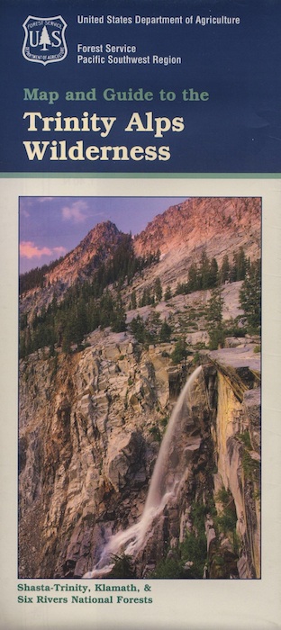
Trinity Alps Trailheads

Trinity Alps Wilderness Trailheads
NorCal Hiking Vacations

Meadow on Trinity Alps Long Canyon Trail

Northern California, Trinity Lakes
Shasta Trinity National Forest

  • backpacking
  • camping
  • fishing lakes
  • hiking trails
  • horseback trails
  • waterfalls

Trinity Alps Wilderness

hike


Trinity Wilderness trailhead locations –

trailheads from Highway 3:

  • Scott Mountain (PCT access)
  • Bear Creek
  • Eagle Creek
  • Stoddard Lake
  • Boulder Creek
  • Big Flat
  • Swift Creektrinityalps_lg

trailheads from Highway 299:

  • Canyon Creek
  • Hobo Gulch
  • French Creek
  • Green Mountain
  • Jim Jam Ridge
  • East Fork
  • New River
  • Grizzly Camp

trailheads from Highway 96:

  • Tish Tang
  • Red Cap Lake
  • Bear Hole
  • Mill Creek Lake
  • Salmon Summit

trailheads from north @ Salmon River, Cecilville Rd #1C02:

  • Hidden Horse
  • Trail Creek
  • Carter Meadows Summit (PCT access)
  • Middle Boulder

Trinity Alps Wilderness Trail
Overview @ SummitPost

Where to Camp

Where to set Camp in California?
Camping Spots
Small campgrounds have fewer facilities than the larger developed campgrounds, but less sites means more nature and less people. Roughing it on the back roads with dispersed camping is by far the best experience for seclusion and privacy

real peace and quiet.

Primitive, free camping requires more thought and planning than just pitching a tent in a flat spot at a developed campground.

First off, you will need a decent topo map to find the dirt back roads, the trailheads and the creeks with the best camp sites; a dependable and capable rig to get you out there, plus your camping gear.

Campfire permits are usually required for camp stoves, BBQs and any open fires. (bucket & shovel needed).

And most importantly, since California is known for its super dry climate and seasonal wildfires, make sure to check with local rangers to find out about any current campfire restrictions.

Streamside Camping
some tips for a good camping experience – without scoldings or citations from Mr. Ranger:

  • Choose existing campsite in a used area – rather than creating another rock ring & trampling a fresh spot.
  • Always know fire conditions; get a fire permit if you have a campfire outside of a developed campground.
  • Set up camp away from other people. The majority of people go to the wilderness to experience quiet, peace, & solitude. There is plenty space for everyone, so spread out.

mountains

  • Never set camp in a meadow. It is a very fragile ecosystem.
  • Use an existing camp site when possible. Rebuilding and cleaning campfire pits is part of the job!
  • Camping right on the a creek bed or lake shore is damaging to the vegetation and wildlife areas. Place tent at least 20+ feet away from waters edge. Many camp site already exist in prime areas on creek front, so seek out those first. The deeper you go into the wood, the more you will find. Seclusion is possible, if you want to drive beyond the pavement.
  • Do not camp beneath large dead trees. Check tent spots for old overhanging branches too.
  • Do not camp near a mine shaft; Toxic heavy metals or radioactive debris could be present in the dirt.
  • Camping next to a lake, wetlands or a meadow can often result in abundant mosquitoes & insects overall.
  • Snow is possible anytime from October to May above 5000′ elevation. Chilly nights are common in summer.

deserts

  • Avoid camping inside desert canyons when the threat of rain is approaching: possible flash floods.
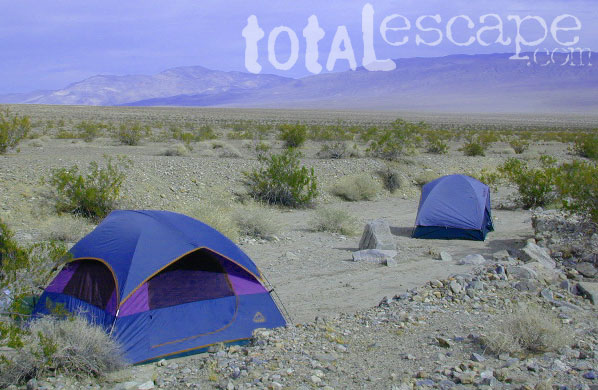
  • Consider the benefits of potential windbreaks in desert terrain. Large rocks, bushes, trees, your vehicle & even a hillside.
  • Picking a camp spot on a ridge line means sun exposure and windy conditions. Breezes will keep the bugs away and you can’t beat the better view, but wind can pick up at any time especially in desert regions.
  • Low elevation in late spring and fall means very warm temps; summer is triple digit heat most days.
  • Do not camp near a mine shaft; Toxic heavy metals or radioactive debris could be present in the dirt.

coastal

  • Avoid camping on fragile coastal cliffs; unstable, which can give way, caving in, resulting in danger to you.
  • Camping on the beach means watching the tides. Know where high water mark is before you set camp up.
  • Beach camping in early summer means low clouds and fog are likely. June Gloom can last months.

countryside

  • Avoid building campfires up against a large boulders or against a rock face.
  • Rivers controlled by hydroelectric dam systems mean that the water levels can change at any time without warning.
  • Never set camp in a wildflower meadow. It’s too fragile of an ecosystem.
  • Lower elevations in summer time means potential triple digit heat during mid-day.
  • Do not camp near a mine shaft; Toxic heavy metals or radioactive debris could be present in the dirt.
National Parks National Forests State Parks California BLM OHV routes California Wilderness
Beach Camping
California Forests
Wineries
Desert Parks
California Back Roads California Lakes

Eeeew Bugs

LadyBugs

Spiders and Bugs

terrachula If insects are your biggest concern when camping, then consider yourself totally “spoiled rotten”. Grasshoppers, ladybugs, beetles, butterflies, dragon flies, damsel flies, bumble bees and honeybees are usually not feared, but other bugs are more frightening looking or just extremely annoying.
Some of the most common pests you will experience in California –

  • mosquitoes (warm weather & near water sources)
  • yellow jackets (they want meat or sugar)Alabama Hills Lone Pine
  • horse flies (near coast & in the mountains)
  • small black flies (near oak groves and pinyon forests)
  • no-see-ums (tiny gnats, zip the tent up)
  • moths (@ night, attracted to lights)
  • scorpions (up to 6000′ elevation)
  • terantulas (painful bite, but harmless to humans)

Follow these tips:

  • Do not camp near any still or stagnant water
  • Do not camp next to meadows
  • Do not wear perfumed products; the less scent the better
  • Build a small fire, smoke will keep most bugs away
  • Zip up tent door (always). Even if you’re just inside for a minute
  • Turn off flashlight before entering the tent. Moths may follow the light in with you
  • Camp in the cooler months, Spring & Fall

HELPFUL ITEMS to PACK:Coleman Tents

  • Scented Options

    • Candles w/ citronella scent
    • Citronella incense sticks
    • Tiki torches with citronella fuel
    • Green Mosquito Coils (toxic to water sources)
  • Insect Repellent Spray

    • All Terrain Bug Repellent (non-toxic)
    • Deet is simply Poison
    • Citrus scents are effective
    • Combo sunscreen insect repellents are new
    • Avon’s Skin So Soft Lotion is well known for keeping bugs away

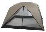
    Screen Room – large tent with open walls. Staking this structure down properly is key. Then park your picnic table and chair inside to enjoy a meal in peace.

    Ponds and Meadows
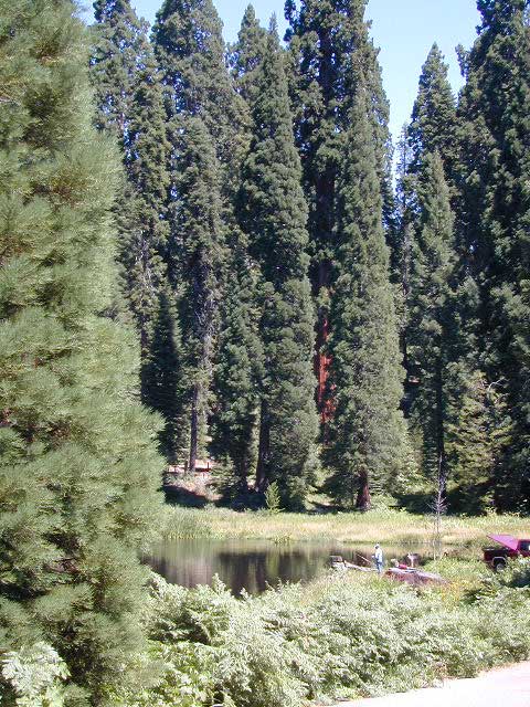
    Ponds and Meadows are areas in the forest where water collects, and mosquitoes are common. When the low temps dip into the 30’s at night, they usually die off.

West Kern

festivals kern

CA Kern / western Kern county

Kern County is known for its oil, its agriculture, and outdoor recreation. The Kern River is the highlight of the region with lush, green and grey granite canyons, a big reservoir & the Sequoia trees just up the road. On the western side of Kern County are small towns like Frazier Park, the golfing cabin community of Pine Mountain Club, plus the oil meccas of Maricopa and Taft. Expansive Lockwood Valley enters into Ventura County. Cuyama River borders Santa Barbara & SLO counties.

Much of the western Kern area is rural ranch land, desert or forest. Los Padres National Forest, Chumash Wilderness, Bittercreek Wildlife Refuge, Wind Wolves Preserve, Buena Vista Reservoir, Ballinger Canyon, Hungry Valley and Fort Tejon State Park all call this region home, right on the mighty tangent of the San Andreas fault line. The San Emigdio range and the surrounding mountains of Mt Pinos and Mount Able design a perpendicular range to the Central Cali coastline, connecting the huge Mojave desert to the ocean. Cerro Noroeste is a very scenic drive.

The 17 mile long Quatal Canyon, where the indian camp of Mahu Tasen hosts a Bear Dance every summer is also a wild place of bird watching, camping and hunting. The indian word for Mount Pinos is “Iwihinmu” – a sacred spot for Chumash Indians, as well as others; Chumash call it the ‘center of the world’. Locals respond regularly with music, hikes, star gazing, drum circles (seasonally) and local festivals (annually) .

PHOTOS: Los Padres Photos | Miller Jeep Trail Off Roading Photos

Drum Camp Pinos | Drumming Cerro Noroeste

Tecuya Ridge

Tecuya Ridge, Cuddy Valley 4×4 trails can keep you busy for a whole weekend of back road exploring.

boating, camping, dirt biking, fishing, hiking, horseback, hunting, mountain biking, off roading, skydiving, xc skiing

DSCN0029

Quatal Canyon