

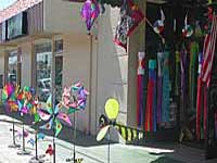
Picnics San Diego – Picnic Area San Diego
![]()
CITY & BAYS & BEACHES:
- Balboa Park, San Diego – 5 square miles of beautiful city park with lots of gardens
- Bayview Park, Coronado Island – Small city neighborhood park with great view of downtown skyline
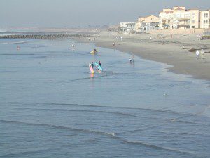
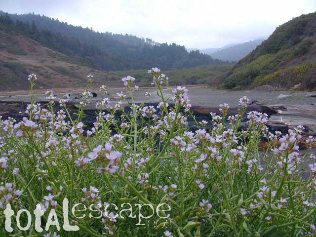
- Silver Strand State Beach near IB or Imperial Beach, S of Coronado
- Harbor Island Park, near San Diego airport – facing SD Bay with views of downtown skyline
- Shelter Island, near San Diego airport – facing SD Bay with views of downtown skyline
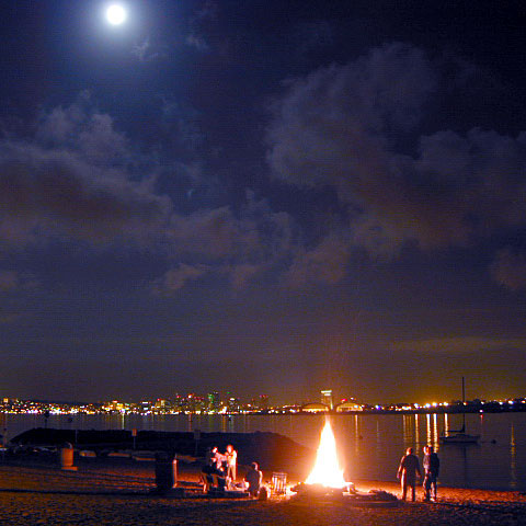
- Mission Bay Park, San Diego, CA – maze of bay front parks & trails; picnic areas, bonfire pits, bike trails & playgrounds
- Soledad Park, La Jolla, CA – small neighborhood park atop a Mount Soledad, great views of county & ocean
- Presidio Park, San Diego Mission – park like setting surrounding mission w/ gardens & trees
- Tidelands Park, Coronado Island – large park with great view of bay, bridge & downtown skyline
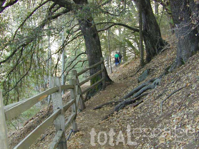
- Mission Trails Park – Mission Gorge – SD river & historic dam, hiking, biking trails
- Sunset Cliffs, Point Loma – sit on cliff edge or take stairway to beach
- Torrey Pines Cliffs, Del Mar, CA
San Diego picnic parks
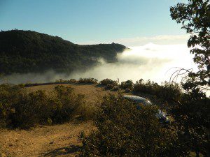
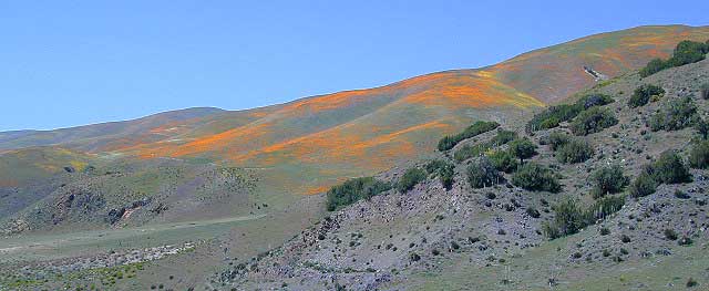
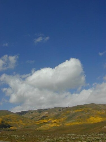
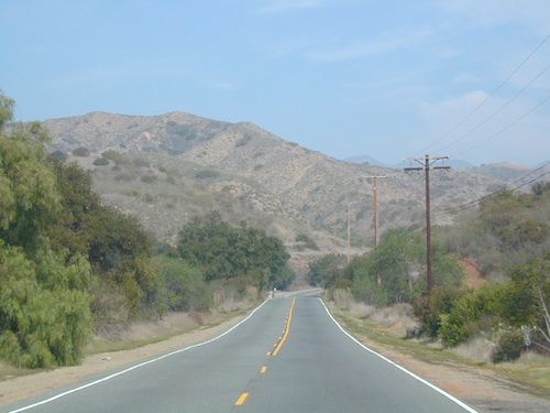
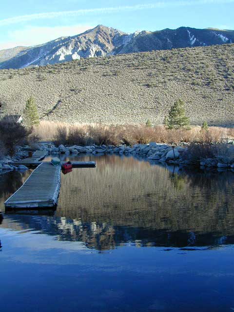
BACK COUNTRY MOUNTAINS & DESERTS:
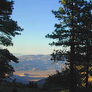
- Desert View Picnic, Laguna Mountains – large open spaces surrounded by pines
- Aqua Dulce Meadows, Mount Laguna, CA inside Cleveland National Forest – hike in camp area, bring your hammock
- Pine Creek Road – large open spaces surrounded by pines; Cleveland National Forest
- S-1 Sunrise Highway, Laguna Mountains – plenty of meadows or side roads off to the right have plenty of good meadows & woods; Cleveland National Forest
- Rancho Cuyamaca SP
- Potrero Hills Park, W of Campo, CA – Oaks, boulders & hills on Hwy. 94
- Anza Borrego State Park– almost anywhere is great, as long as it is not in the hot summer months. (May – Sept)

Maps Mountains / San Diego Maps
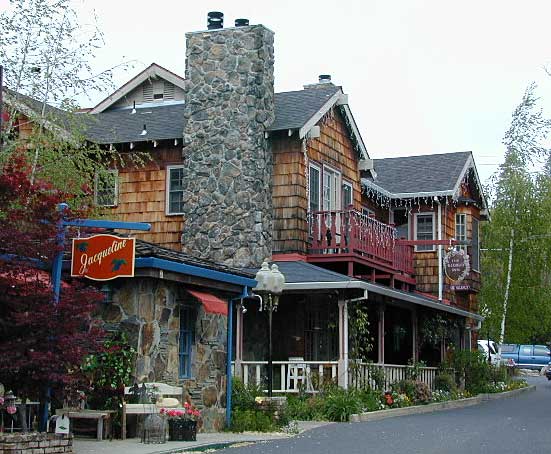
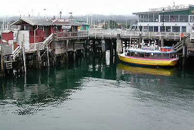
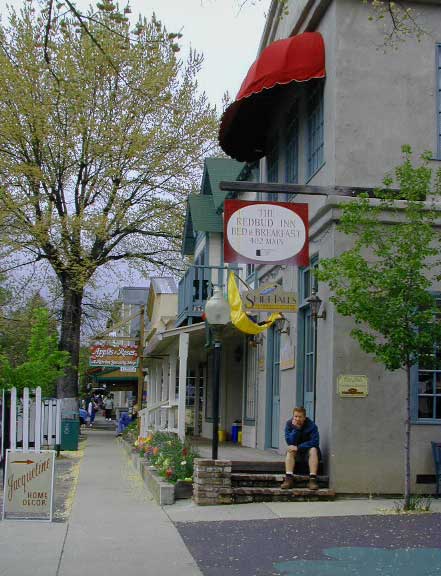 Listed on this page are California cities and towns that are well known for their shopping – downtown villages, boutiques, art galleries, gift shops, antique stores, shopping plazas, factory outlets, malls and restaurants.
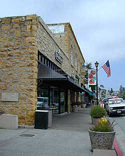


 Directions:


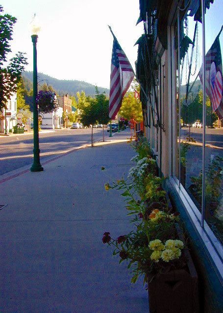
 CA Romance
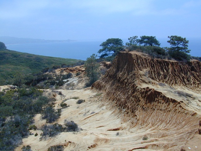
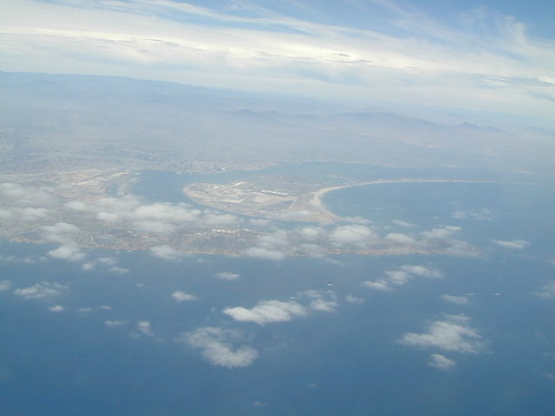
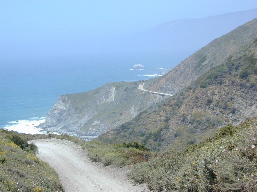
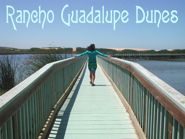
 California has some amazing beaches & coastline, that’s for sure. Supposedly most of us moved out here for this glorious gold coast, yet often find ourselves held hostage in front of the televisions – instead of outside, enjoying the scenery, the sand, the moist sea breezes & fresh air.